The best road cycling routes around Armo
4.7
(47)
1,151
riders
28
rides
Road cycling routes around Armo are situated in the Ligurian Alps, a mountainous region near the Parco Alpi Liguri in Italy. The terrain is characterized by challenging ascents and descents through valleys and along mountain passes. This area offers a diverse landscape for road cyclists, ranging from high alpine environments to routes that provide views of the surrounding natural park. The varied topography ensures a range of experiences for different skill levels.
Best road cycling routes around Armo
- The most…
Last updated: October 16, 2026
4.9
(7)
201
riders
72.9km
04:45
2,240m
2,240m
Hard road ride. Very good fitness required. Mostly well-paved surfaces and easy to ride.
4.8
(10)
53
riders
Hard road ride. Very good fitness required. Mostly well-paved surfaces and easy to ride.

5.0
(1)
43
riders
59.9km
02:48
750m
750m
Moderate road ride. Good fitness required. Mostly well-paved surfaces and easy to ride.
5.0
(4)
41
riders
40.8km
02:10
730m
730m
Moderate road ride. Good fitness required. Mostly well-paved surfaces and easy to ride.
17
riders
68.2km
03:45
1,350m
1,350m
Hard road ride. Very good fitness required. Mostly well-paved surfaces and easy to ride.
Get access to more routes and recommendations from other explorers.
Already have an account?
Our route recommendations are based on thousands of hikes, rides, and runs completed by other people on komoot.
Start today with a free account
Your next adventure awaits.

Tips from the Community

small fountain before heading to Ginestro!! or at the bar for a coffee break...
0
0
Stop for a photo and then off to the panorama!!
0
0

Stopping to visit this park is worth it.
4
0


Good morning everyone! I followed the trail with a mountain bike; I'm a muscular biker, and my husband uses a Fantic with power assistance. I don't know how anyone can do this type of ride on gravel. I'm 100% confident in who can do it. I recommend a good supply of water and food. The ride is quite energy-intensive. I think this is a valid point, and indeed, it should be highlighted. I think whoever posted it did it very lightly. Have a good ride, everyone.
0
0

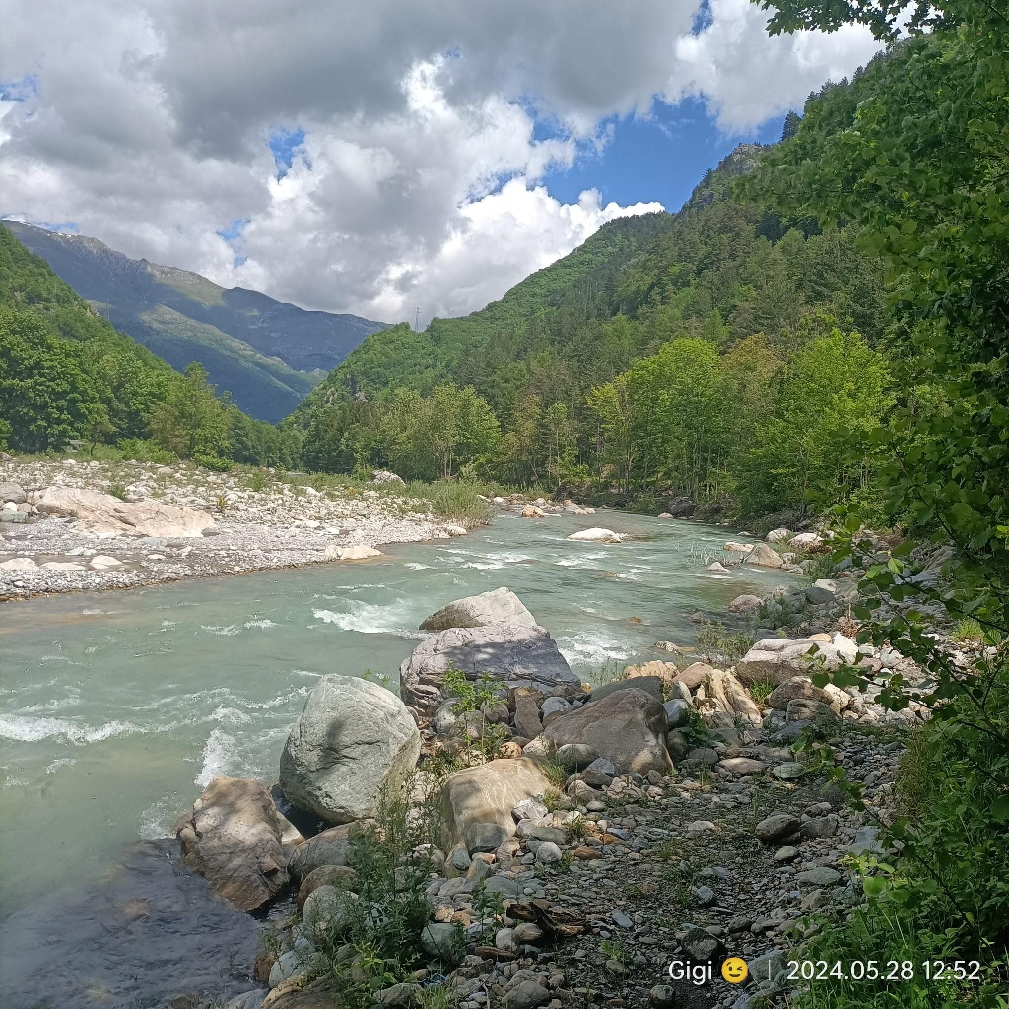
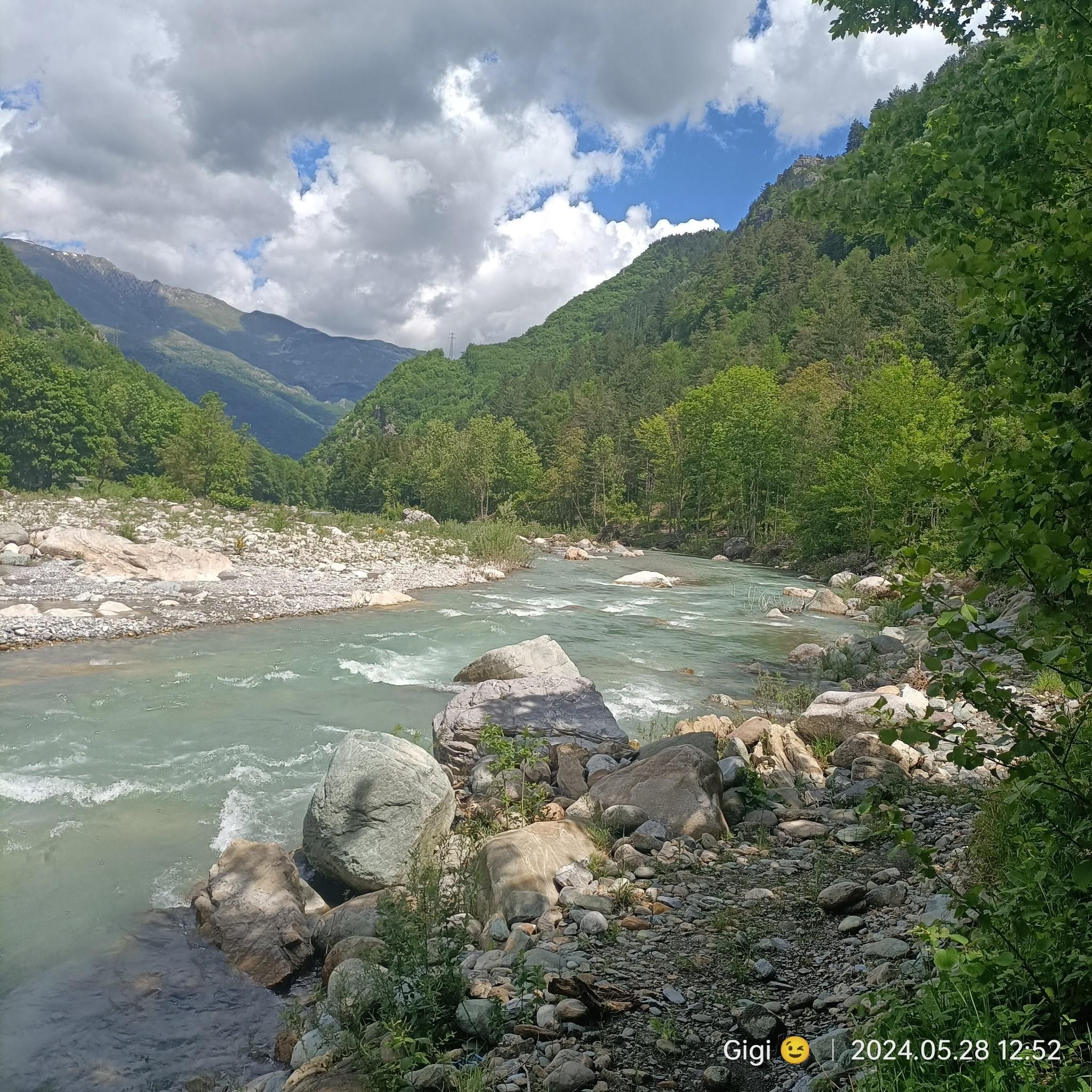
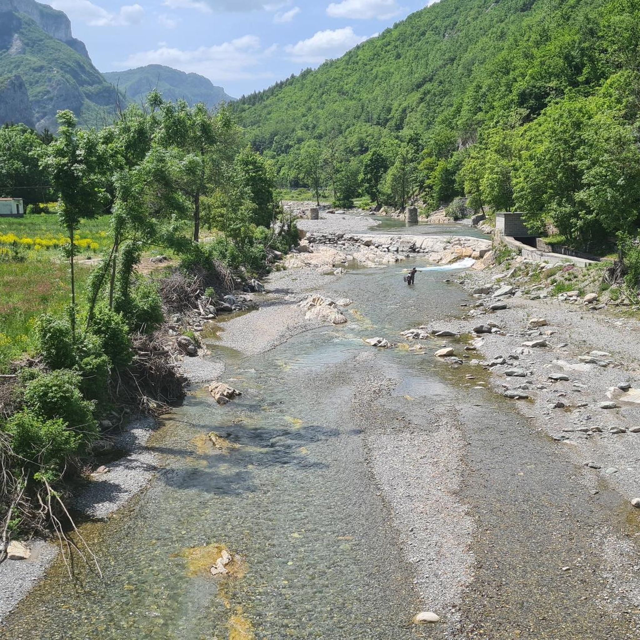
About the Torrente Arroscia
0
0

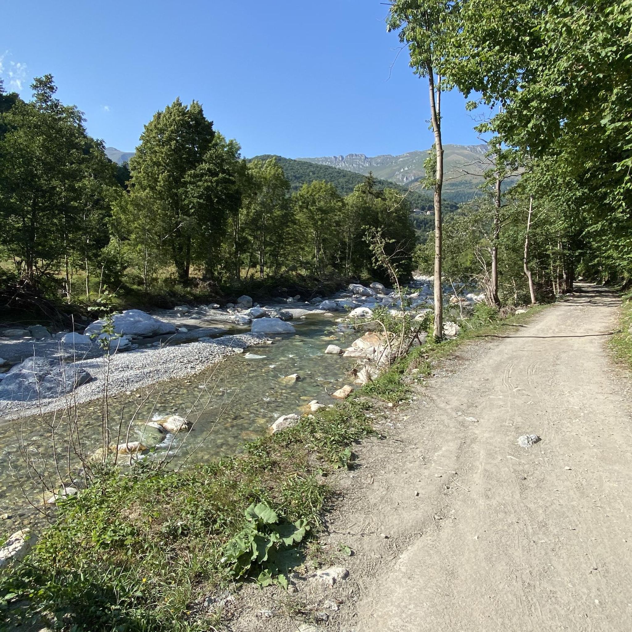
in the area there are many trails built by local bikers, of varying difficulty
2
0
Frequently Asked Questions
What kind of terrain can I expect when road cycling around Armo?
Road cycling routes around Armo are primarily situated in the Ligurian Alps, offering a mountainous landscape. You can expect challenging ascents and descents through scenic valleys and along mountain passes, providing a diverse experience from high alpine environments to routes with views of the surrounding natural park.
How many road cycling routes are available in the Armo area?
There are over 20 road cycling routes around Armo documented on komoot. These routes cater to various skill levels, with 9 classified as moderate and 14 as difficult, ensuring options for experienced cyclists seeking a challenge.
Are there any easy road cycling routes in Armo for beginners?
The road cycling routes around Armo are generally geared towards moderate to difficult skill levels, reflecting the mountainous terrain of the Ligurian Alps. There are no routes currently classified as easy, so beginners should be prepared for significant elevation changes.
What are some popular road cycling routes in Armo?
Among the favorites are the Colle di Nava – Gola delle Fascette loop from Pornassio, known for its significant elevation gain, and the Bridge over the Arroscia Stream – Borghetto d'Arroscia loop from Pieve di Teco, which offers a mix of valley riding and ascents. Another popular choice is the Garlenda Village Center – Borghetto d'Arroscia loop from Pieve di Teco, which passes through varied terrain and local villages.
What do other road cyclists say about the routes in Armo?
The routes in Armo are highly regarded by the komoot community, holding an impressive average score of 4.9 stars from nearly 50 reviews. Over 1,200 road cyclists have explored Armo's varied terrain using komoot, often praising the challenging climbs and the stunning natural beauty of the Ligurian Alps.
Are there any circular road cycling routes around Armo?
Yes, many of the road cycling routes around Armo are designed as loops. For instance, you can enjoy the Ormea – View of Ormea loop from Aimoni, which offers a moderate challenge and scenic views, or the more demanding Colle Quazzo – Giogo di Toirano Pass (801 m) loop from Ormea.
What natural features or landmarks can I see along the road cycling routes in Armo?
The Armo area is rich in natural beauty. Cyclists can encounter several significant mountain passes, such as Colle Caprauna (1175 m) and Colle di Nava. You might also discover natural monuments like the Waterfall Near Ormea or enjoy views from summits like Mount Armetta and Mount Galero.
What is the best time of year for road cycling in Armo?
Given its location in the Ligurian Alps, the warmer months, typically from spring through early autumn, are ideal for road cycling in Armo. During this period, mountain passes are generally clear of snow, and the weather is more favorable for challenging rides. Winter can bring snow and colder temperatures, making many routes less accessible.
Are there any specific mountain passes that are popular with road cyclists in Armo?
Yes, the region around Armo is known for its challenging mountain passes. Popular ones include San Bartolomeo Pass, Colla Bassa Pass, and Pian del Latte Pass (1750 m). These passes often feature in the more difficult routes and offer rewarding views.
Is Armo suitable for family-friendly road cycling?
Due to the predominantly mountainous and challenging terrain with significant elevation changes, Armo's road cycling routes are generally not classified as easy or specifically family-friendly. Most routes are rated moderate to difficult, making them more suitable for experienced cyclists or families with older, very fit children.
Are there places to eat or stay near the road cycling routes in Armo?
Armo is located near towns like Ormea, which is just 5.8km away. These local communities and surrounding areas would offer various options for cafes, pubs, and accommodation, catering to cyclists looking for refreshments or a place to stay after their rides in the Ligurian Alps.
What is the typical elevation profile for road cycling routes in Armo?
Road cycling routes in Armo are characterized by significant elevation changes, reflecting the mountainous Ligurian Alps. You can expect substantial climbs and descents, with difficult routes often featuring over 2,000 meters of elevation gain, such as the Colle di Nava – Gola delle Fascette loop from Pornassio with over 2,200 meters of ascent.
Most popular attractions around Armo

Get inspired with the komoot mobile app


Explore more
Browse the best Road cycling routes in other regions.
