The best walks and hikes around Schalkenmehren
4.6
(6539)
22,770
hikers
91
hikes
Hiking around Schalkenmehren offers exploration of a unique volcanic landscape in Germany's Vulkaneifel district. The region is characterized by its maars, which are volcanic crater lakes formed by steam explosions, providing varied terrain and scenic views. Schalkenmehren is situated within the Vulkaneifel Nature Park, featuring extensive forests, wide fields, and the Lieser river. The landscape includes both water-filled maars and dry maars, offering diverse geological features for hikers.
Best hiking trails around Schalkenmehren
- The most popular hiking route is HeimatSpur…
Last updated: October 16, 2026
4.7
(904)
3,053
hikers
11.4km
03:18
280m
280m
Moderate hike. Good fitness required. Easily-accessible paths. Suitable for all skill levels.
4.7
(606)
2,130
hikers
Moderate hike. Good fitness required. Easily-accessible paths. Suitable for all skill levels.

4.3
(37)
161
hikers
26.2km
07:20
510m
510m
Hard hike. Very good fitness required. Easily-accessible paths. Suitable for all skill levels.
4.7
(187)
932
hikers
5.72km
01:31
60m
60m
Easy hike. Great for any fitness level. Easily-accessible paths. Suitable for all skill levels.
4.7
(38)
135
hikers
Easy hike. Great for any fitness level. Easily-accessible paths. Suitable for all skill levels.
Get access to more routes and recommendations from other explorers.
Already have an account?
Our route recommendations are based on thousands of hikes, rides, and runs completed by other people on komoot.
Start today with a free account
Your next adventure awaits.
Popular around Schalkenmehren
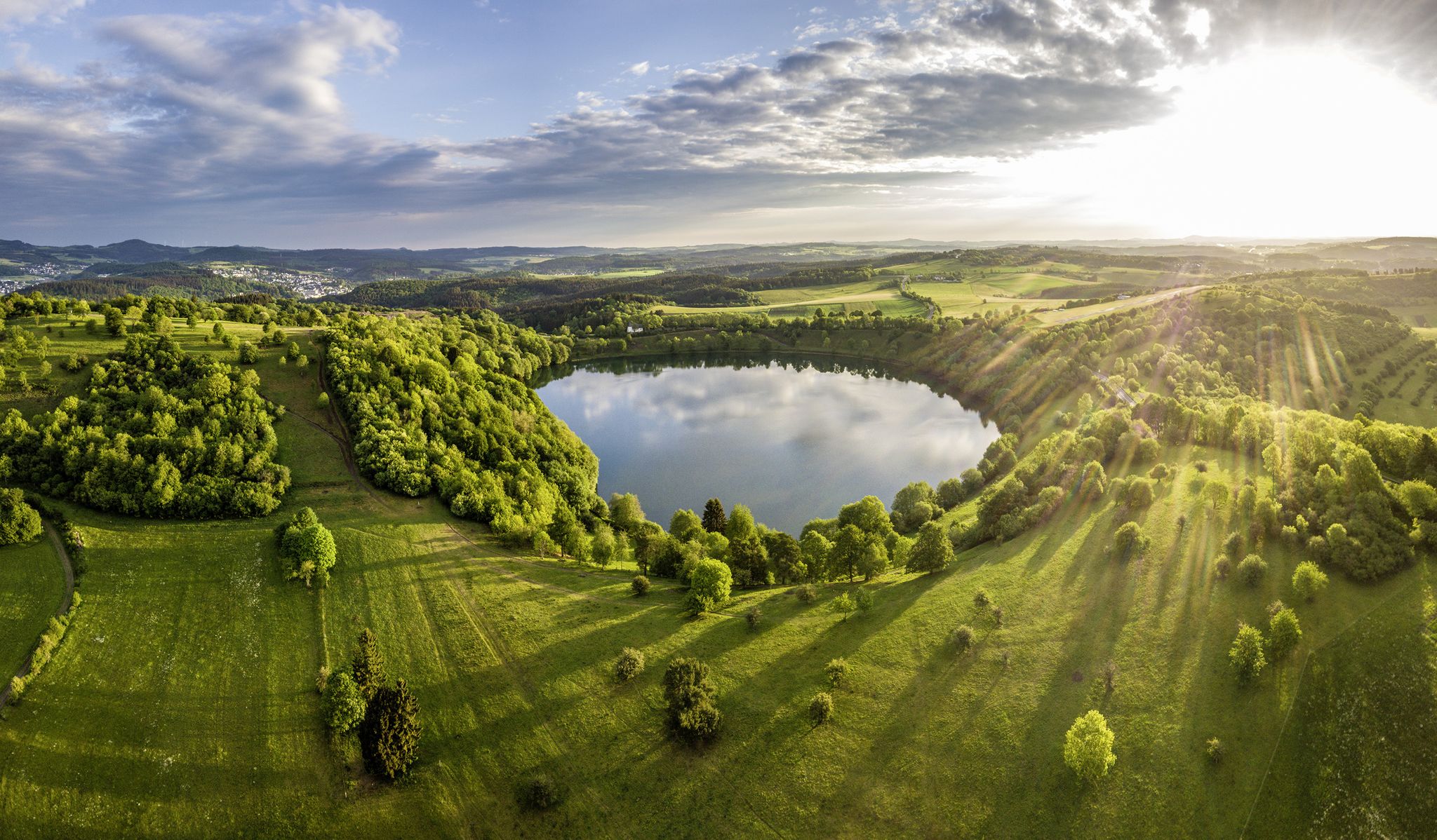
Germany’s Most Beautiful Hiking Trails in the Vulkaneifel
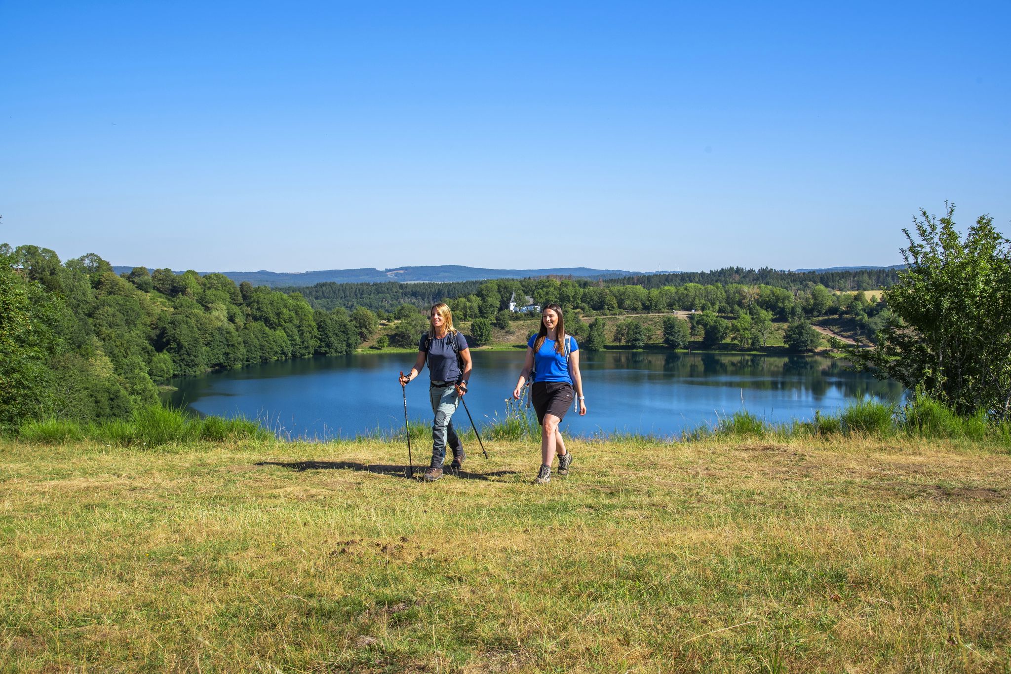
Excellent paths in the Vulkaneifel – Explore the HeimatSpuren
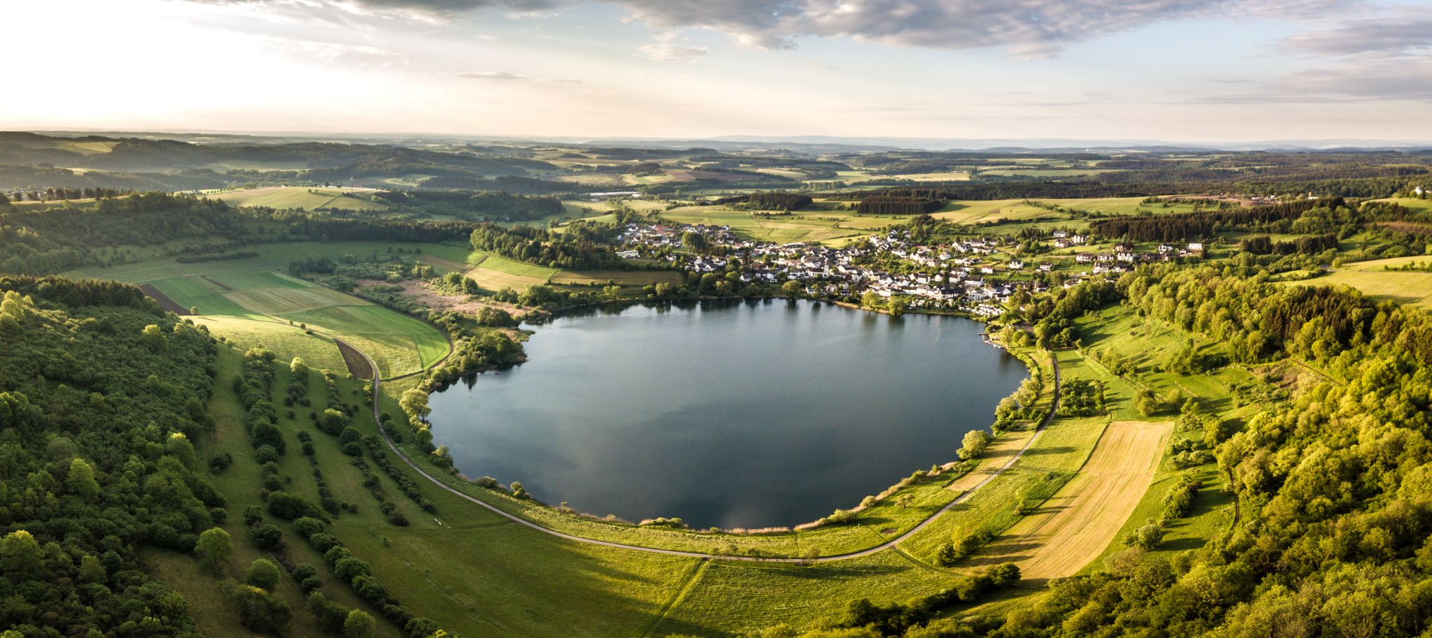
Volcanoes, water, forest – the partner trails of the Eifelsteig
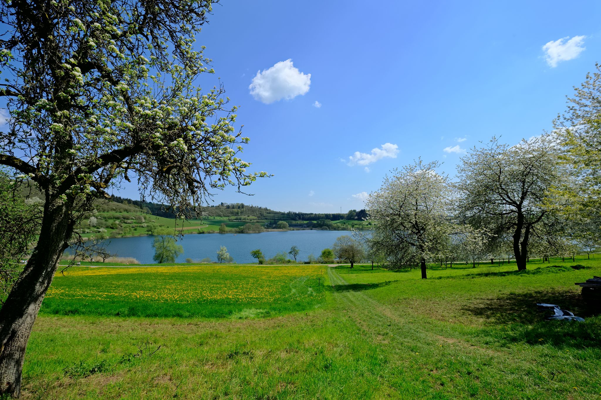
4 days of pure geological history — a tour through the Volcanic Eifel
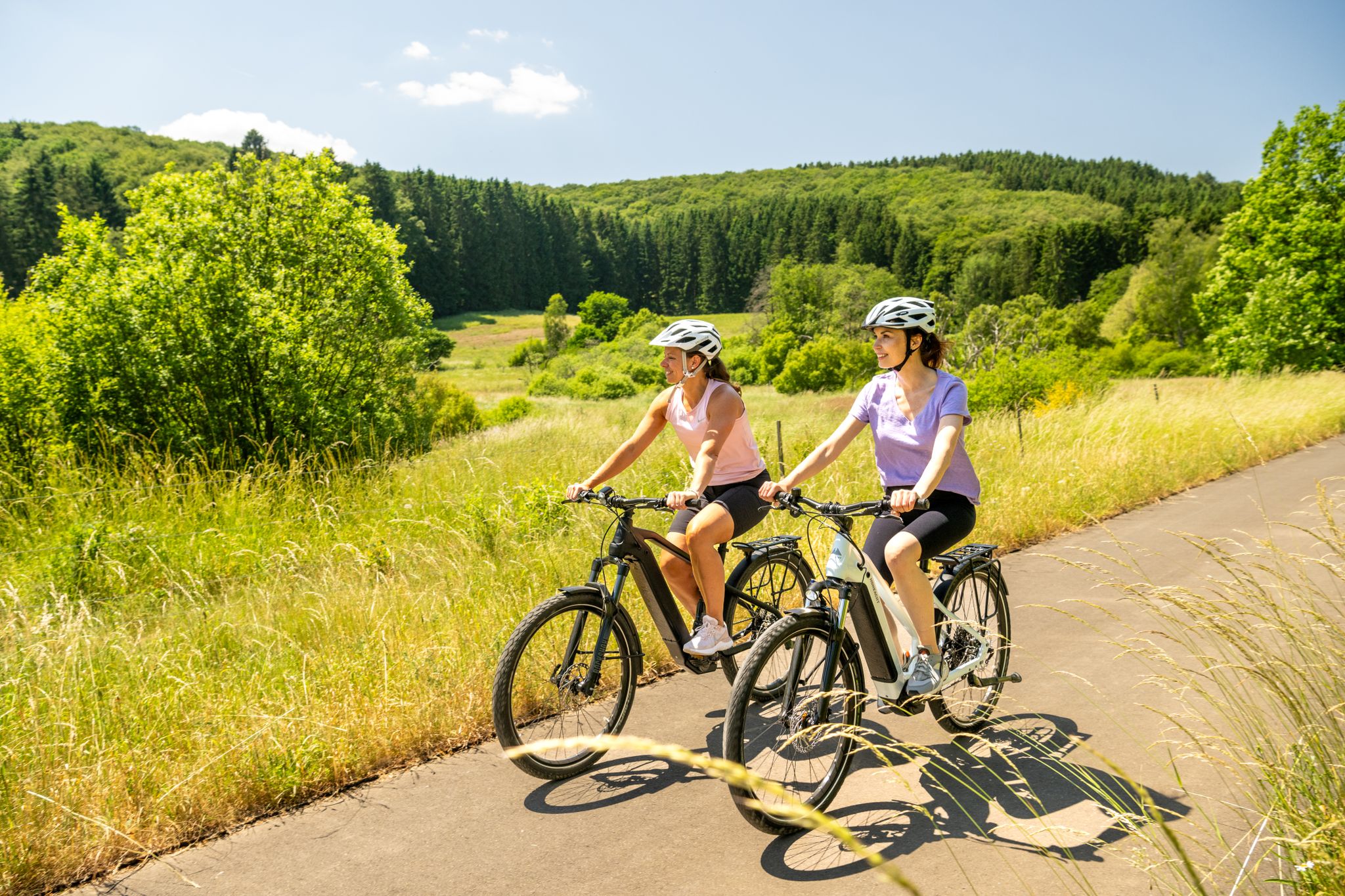
E-biking through the Volcanic Eifel
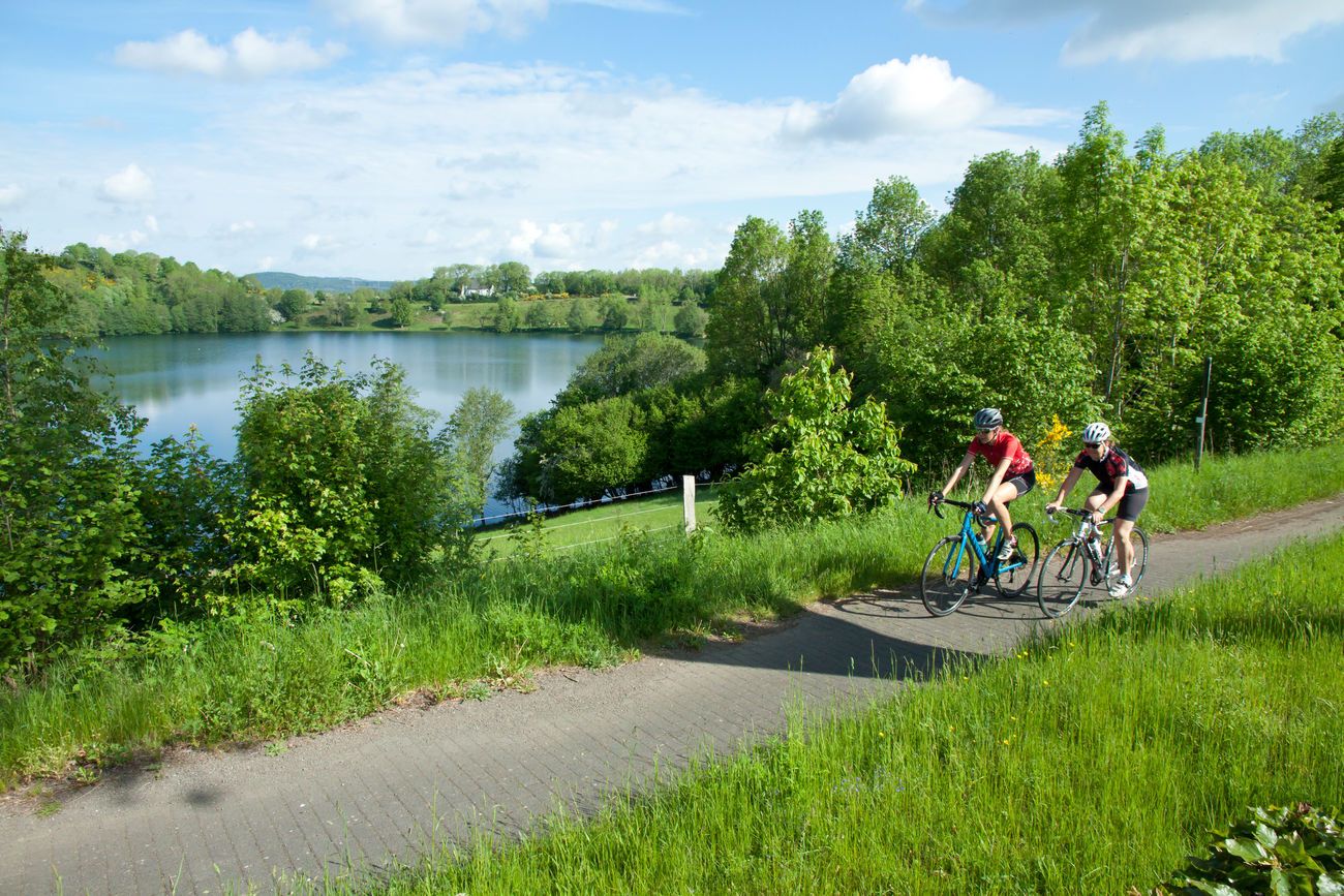
Discover Germany with the Tour in a motorhome and racing bike
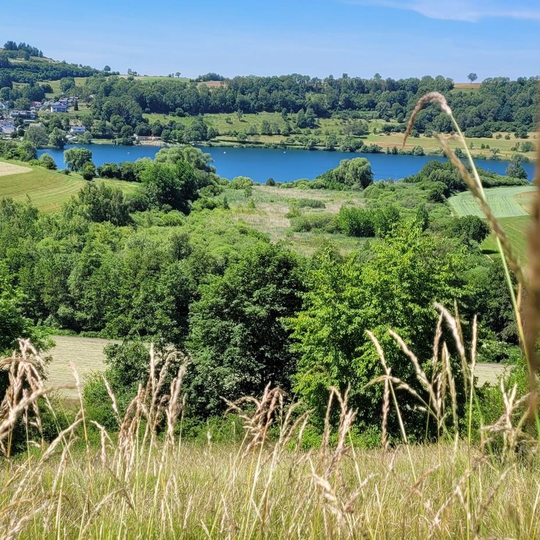
Cycling around Schalkenmehren
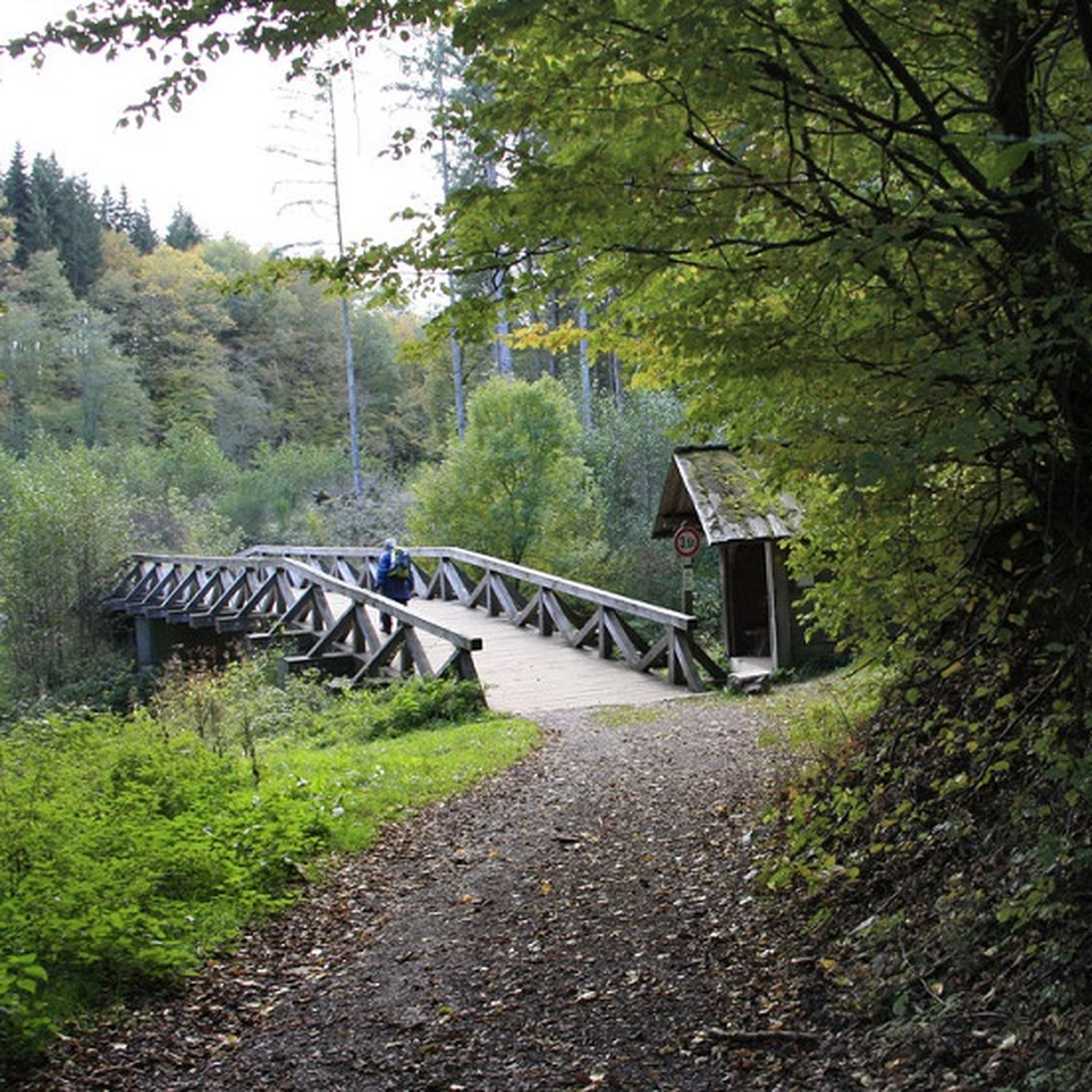
MTB Trails around Schalkenmehren
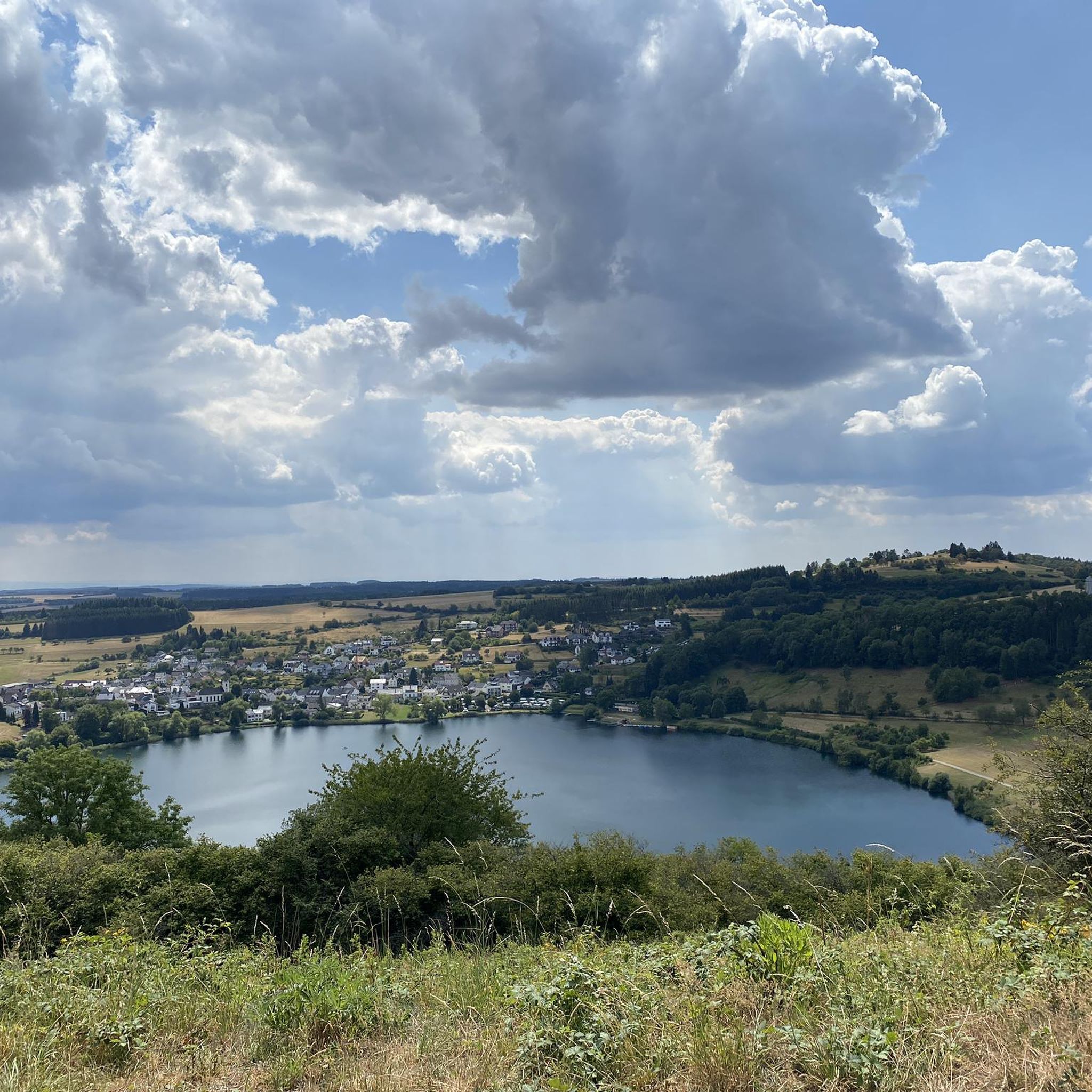
Running Trails around Schalkenmehren
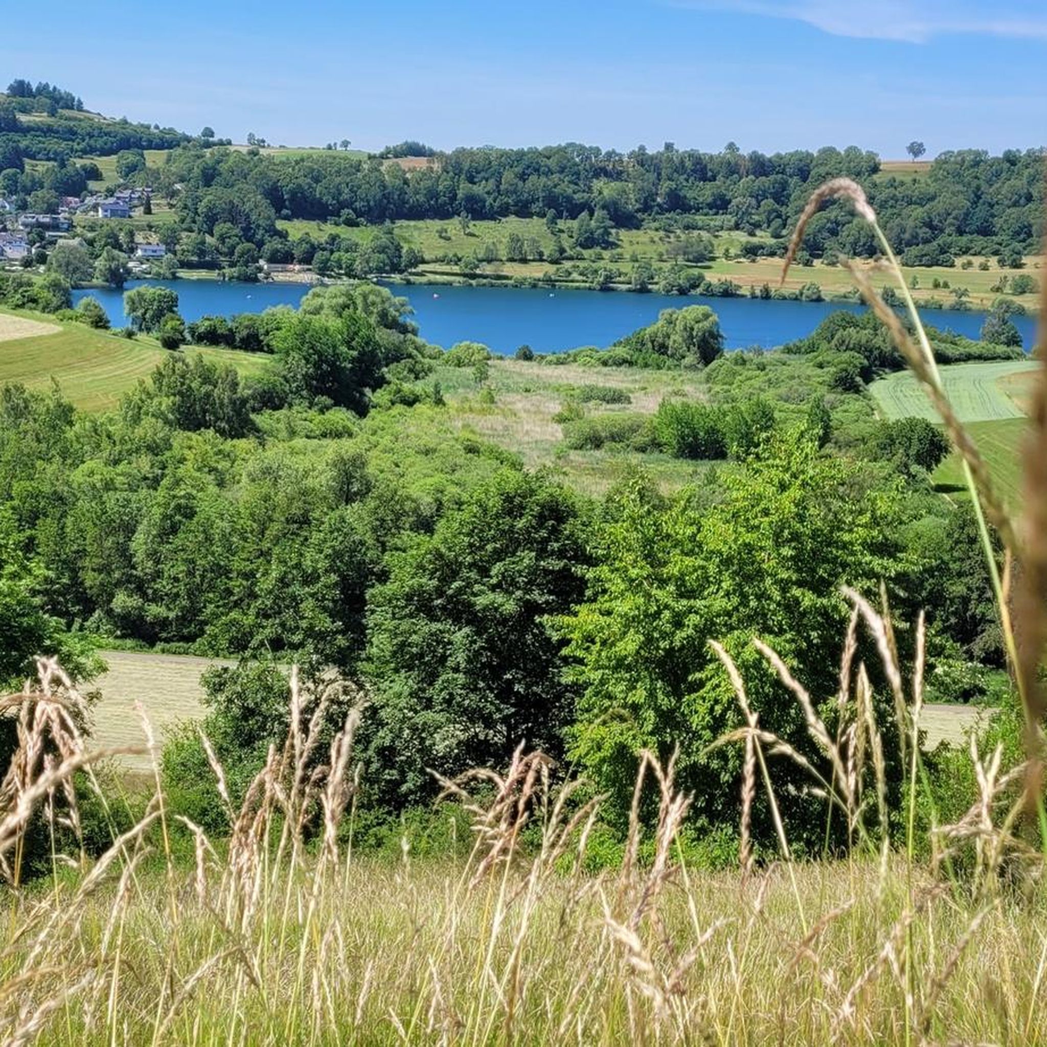
Road Cycling Routes around Schalkenmehren
Other adventures around Schalkenmehren


Tips from the Community


Numerous legends surround the quiet Totenmaar. According to one legend, a castle once stood at this spot, inhabited by a benevolent count with his servants, his hard-hearted wife, and their only child. One day, the count returned home from the hunt and found only a lake where his castle had stood. It had sunk into the earth with all its inhabitants, leaving behind a lake, the Totenmaar. As if by a miracle, a cradle appeared on the surface, in which his child drifted safely to shore. The count's horse dug out a spring from the ground during an exclamation by its master. The count later built a chapel out of gratitude for his child's rescue, which, like the spring, is still preserved today. Das Weinfelder Maar 1878 (Die Gartenlaube) The Eifel painter Richard Franzen from Mehren dedicated the following poem to this maar: Droben steht noch die Kapelle, hier im schönen Eifelland, wo vor ein paar hundert Jahren einst das Dörfchen Weinfeld stand. Pest und Armut, schlechte Zeiten, zwang die Menschen in der Not, ihre Heimstatt zu verlassen, letzter Zug im Abendrot. Doch nach Weinfeld kehren wieder Stille Schläfer Jahr für Jahr, um für immer auszuruhen auf dem Berg am Totenmaar
0
0

„Birds are singing, flowers are blooming, green is again the forest and the field. Oh, let us go and wander from one place to another through the wide, green world!“ (Hoffmann von Fallersleben)
5
0
All hikers / walkers, who are enjoying this view that presents itself to the eye here, I would like to invite with the words of the writer Otto Wilhelm Ullmann to discover the world (and with it the beauty of nature): "Hiking means discovering the world, finding hidden corners, in old alleys, quiet spots feeling the bliss of peace, raising reverence for the old and nurturing the heritage of the fathers, awakening joy from the smallest things: Hiking means discovering the world."
2
0
The "Heimatspur Maareglück", which hikers/walkers repeatedly encounter in the vicinity of the Totenmaar, the Schalkenmehrener Maar, and the Gemündener Maar - or perhaps even follow - is in the final for the election of the most beautiful hiking trail in Germany (2026). Those who still want to vote by June 30 can find the virtual voting booth at =>> https://wandermagazin.de/wahlstudio
1
0

A well-maintained cycle path runs around the maar, and beautiful views are guaranteed.
0
0

Information on the Mürmes nature reserve can be found at NABU: https://www.nabu-daun.de/wir-sichern-fl%C3%A4chen/nsg-m%C3%BCrmes/ or at: https://ellscheid-vulkaneifel.de/408/tourismus/muermes
1
0
Frequently Asked Questions
What is the general difficulty level of hiking trails around Schalkenmehren?
Schalkenmehren offers a wide range of hiking difficulties. You'll find over 50 easy walks, around 30 moderate trails, and a few more challenging routes for experienced hikers. This variety ensures there's something for every fitness level.
What natural features can I expect to see on hikes in Schalkenmehren?
The region is famous for its unique volcanic landscape, particularly the 'maars' – volcanic lakes formed by steam explosions. You'll encounter serene maar lakes like the Schalkenmehrener Maar and the Gemündener Maar, as well as the diverse terrain of the Vulkaneifel Nature Park.
Are there any specific viewpoints or landmarks worth visiting along the trails?
Absolutely. Hikers often enjoy the Dronke Tower on the Mäuseberg for panoramic views. You can also find stunning vistas like the View of the Weinfelder Maar (Totenmaar) and a dedicated View of Totenmaar from the panoramic bench, offering picturesque scenes of the volcanic lakes.
Are there family-friendly hiking options in Schalkenmehren?
Yes, there are several family-friendly options. A manageable, asphalted circular route around the Schalkenmehrener Maar, approximately 3 km long, is ideal for families with children and is accessible from a barrier-free parking lot at the Tourist Information. Many of the easy trails are also suitable for families.
Can I bring my dog on the hiking trails around Schalkenmehren?
Generally, dogs are welcome on most hiking trails in the Vulkaneifel region. However, it's always advisable to keep your dog on a leash, especially in nature reserves or near livestock, and to respect local signage regarding pet access.
Are there many circular hiking trails around Schalkenmehren?
Yes, the area is well-suited for circular walks. Many routes, including popular ones like the Schalkenmehrener Maar – Gemündener Maar loop from Schalkenmehren, are designed as loops, allowing you to start and end at the same point without retracing your steps.
What is the best time of year to go hiking in Schalkenmehren?
The Vulkaneifel region is beautiful year-round. Spring brings blooming nature, summer is perfect for combining hikes with swimming in the maars, and autumn offers vibrant foliage. Even winter can be charming for crisp walks, though some paths might be slippery.
Where can I park when hiking near Schalkenmehren?
Parking is generally available at key starting points for trails, including near the Tourist Information center for the Schalkenmehrener Maar circular route. Many trailheads for popular routes will have designated parking areas.
Are there any challenging hikes for experienced hikers?
For those seeking a more demanding experience, Schalkenmehren offers routes like the Volcano Trail. This route covers a significant distance and elevation, providing a good challenge and showcasing the region's rugged beauty.
What do other hikers enjoy the most about hiking in Schalkenmehren?
The area is highly rated by the komoot community, with an average score of 4.6 stars. Reviewers often praise the unique volcanic landscapes, the serene beauty of the maar lakes, and the well-maintained and varied network of trails that cater to all abilities.
Can I swim in the maars after a hike?
Yes, the Schalkenmehrener Maar features a 'Maarbad' (maar bath) which is popular for swimming and boating, especially during the summer months. It's a refreshing way to cool down after exploring the trails.
Are there any easy routes that offer great views?
Certainly. The Dronke Tower on the Mäuseberg – View of the Weinfelder Maar loop from Daun is an easy 5.3 km route that provides excellent views, including a glimpse of the Weinfelder Maar, making it accessible while still rewarding with scenic beauty.
Most popular routes around Schalkenmehren
Most popular attractions around Schalkenmehren

Get inspired with the komoot mobile app


Explore more
Browse the best Hikes in other regions.
