The best walks and hikes around Palombara Sabina
4.4
(1463)
4,775
hikers
20
hikes
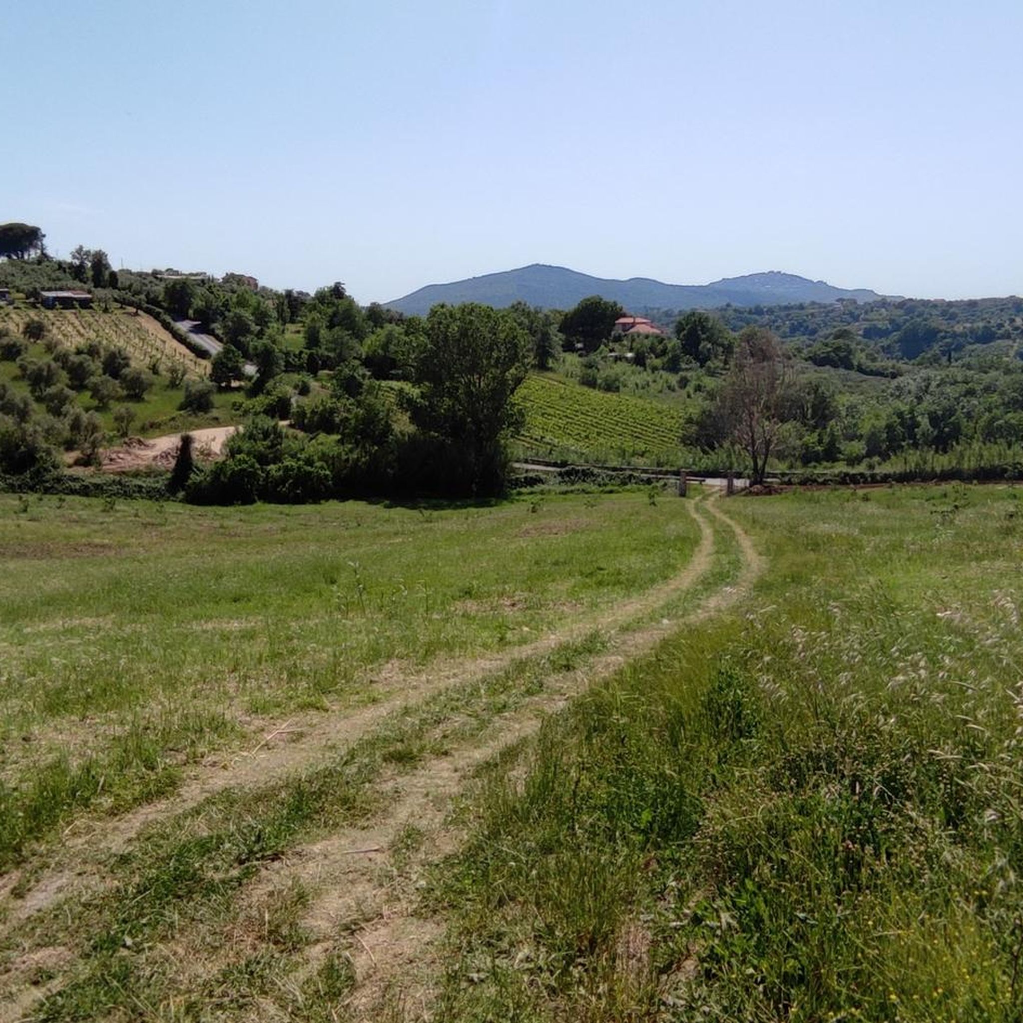
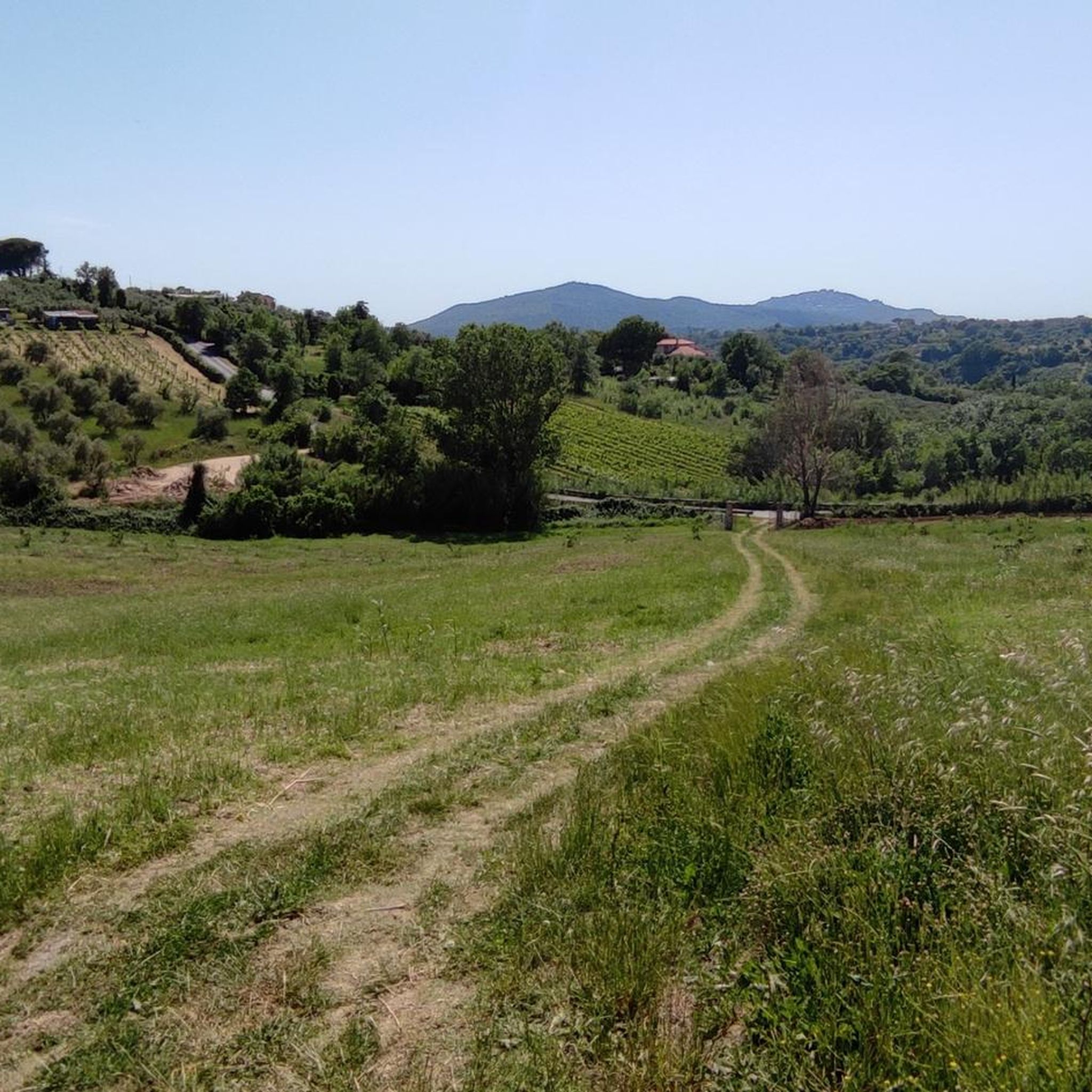
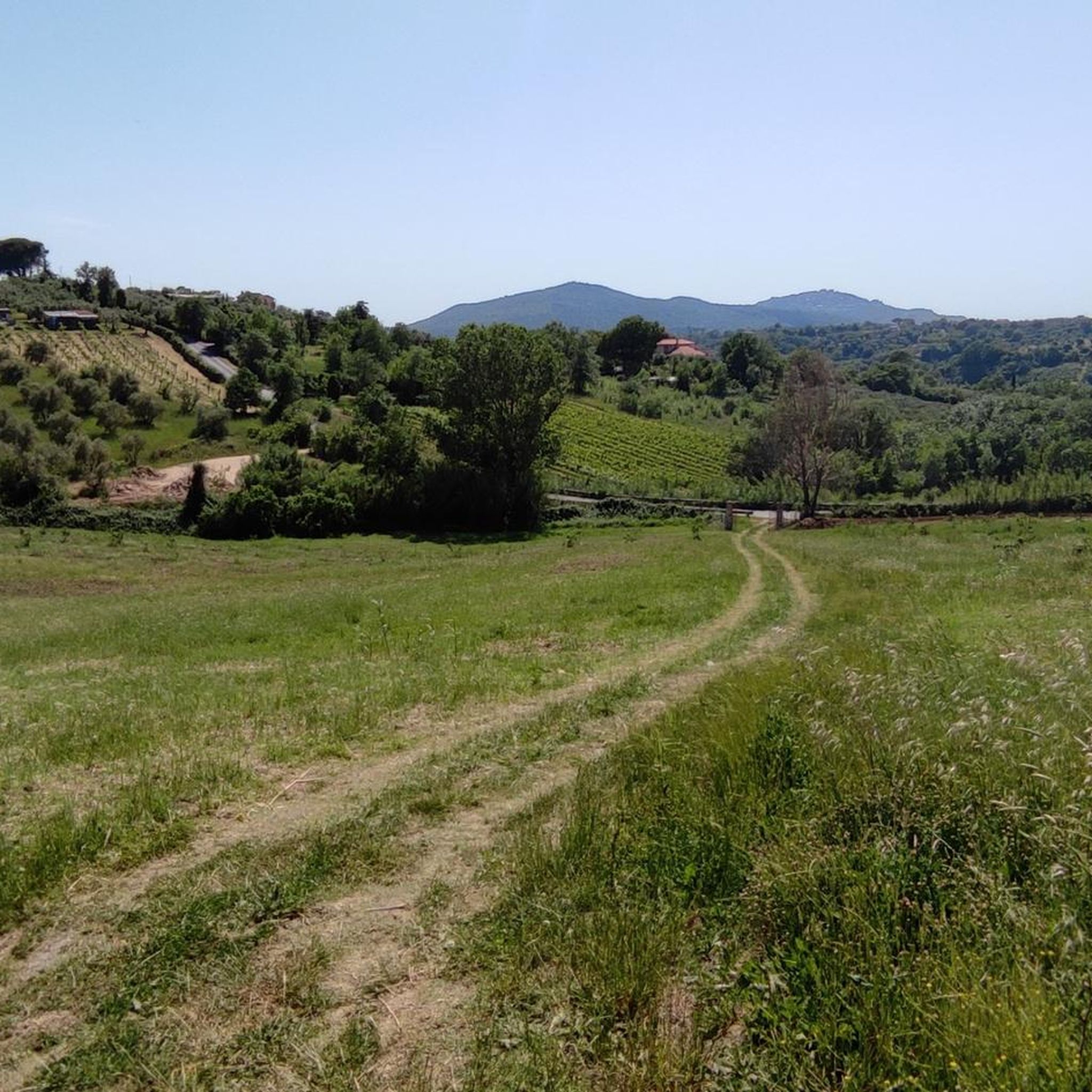
Hiking around Palombara Sabina offers exploration within the Monti Lucretili Regional Natural Park, situated at the foot of Monte Gennaro. The region is characterized by rolling hills, extensive olive groves, and vineyards, providing a diverse landscape for outdoor activities. Hikers can experience varied terrain, from the slopes of Monte Gennaro to paths winding through ancient olive trees. This area provides a blend of natural beauty and historical sites, making it suitable for different hiking preferences.
Best hiking trails in Palombara…
Last updated: July 9, 2026
4.6
(68)
263
hikers
11.9km
04:37
870m
860m
Moderate hike. Good fitness required. Easily-accessible paths. Suitable for all skill levels.
4.7
(18)
109
hikers
7.36km
02:49
520m
520m
Moderate hike. Good fitness required. Easily-accessible paths. Suitable for all skill levels.

Sign up for free
4.6
(16)
30
hikers
16.7km
06:48
1,150m
1,150m
Hard hike. Very good fitness required. Mostly accessible paths. Sure-footedness required.
4.8
(4)
22
hikers
22.6km
08:20
1,090m
1,090m
Hard hike. Very good fitness required. Sure-footedness, sturdy shoes and alpine experience required.
4.7
(3)
21
hikers
13.6km
03:52
310m
310m
Moderate hike. Good fitness required. Easily-accessible paths. Suitable for all skill levels.
Get access to more routes and recommendations from other explorers.
Sign up for free
Already have an account?
Our route recommendations are based on thousands of hikes, rides, and runs completed by other people on komoot.
Start today with a free account
Your next adventure awaits.
Login or Signup

Tips from the Community

From here on, it's a hike for experts. There are no CAI flags (or at least I didn't see any), nor is the trail clearly marked. There are only a few stone cairns, but it's mostly a matter of feeling. The return time is much longer than indicated.
0
0

A wonderful clearing where we can find wild cattle grazing. There are many varieties of beautiful flowers to admire (and please do not pick!) From here we begin the climb to the wonderful peak of Monte Gennaro
0
0

A huge and beautiful beech tree of 200 or 300 years. There are several of these in the park. The photo does not convey its size.
0
0

Danger!!! the path is not calculated well!!! attention!!!! only for experts!!!!
1
1

over time a short stretch of flat path has been marked out with stones, suggestive
0
0

Suggestive to say the least, very low grass and populated by cows and horses. An excellent refreshment point before the summit!
0
1
Visible from miles away, and far from ancient, it represents one of the symbols of the mountain. For the more athletic and risk-takers there is also an iron staircase planted inside which would allow you to climb to the top of the tower. It is strongly not recommended judging by the stability of the structure.
0
0
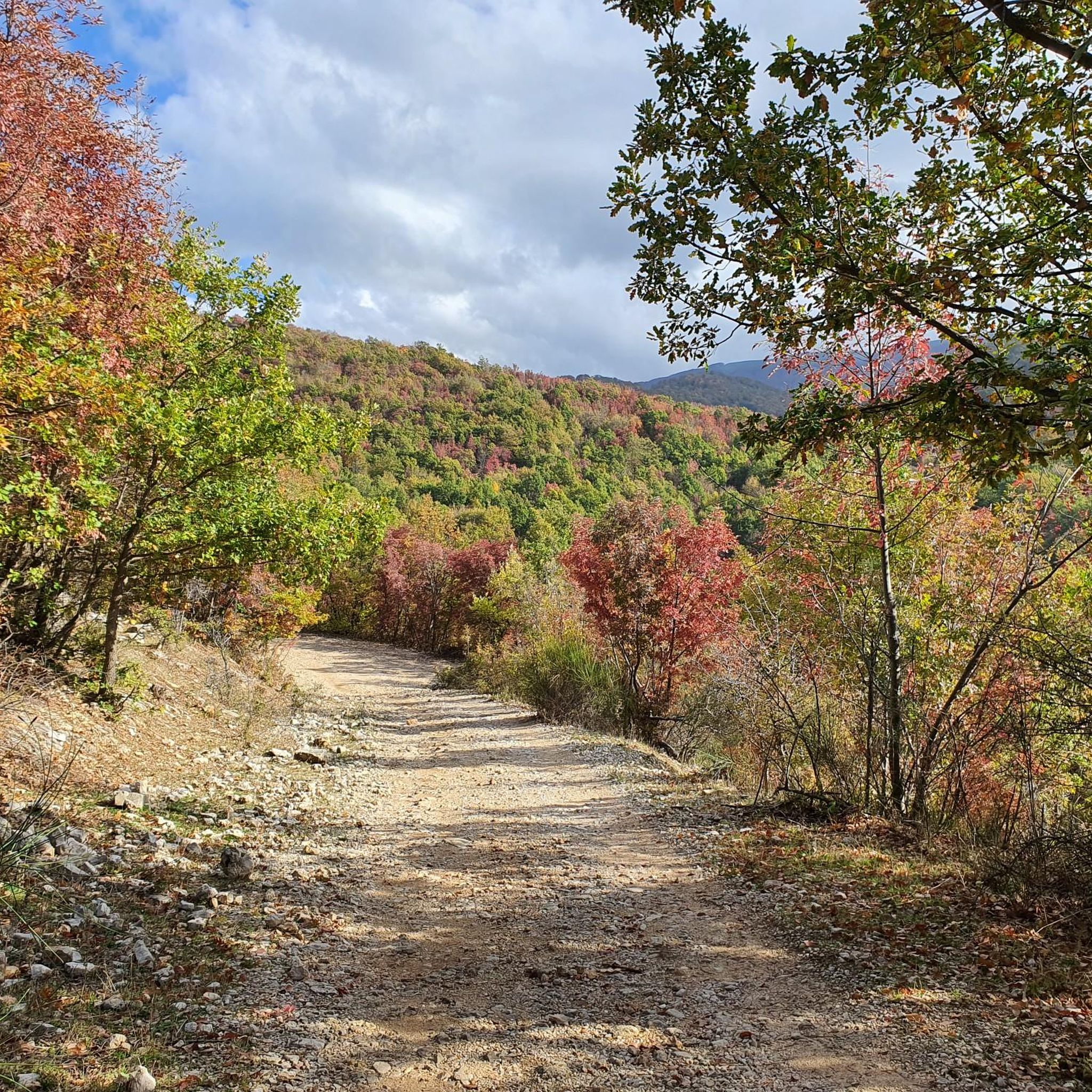
There is the possibility to choose how to reach the top of Gennaro either via the path or the dirt road. The first is more impervious but with a beautiful view of the Roman plain; the second, very well groomed but with a greater difference in altitude. The two roads meet in front of the Monte Gennaro refuge and then continue towards the top.
0
0
Frequently Asked Questions
What kind of terrain can I expect when hiking around Palombara Sabina?
The region around Palombara Sabina is characterized by rolling hills, extensive olive groves, and vineyards, especially at the foot of Monte Gennaro within the Monti Lucretili Regional Natural Park. You'll find varied terrain, from gentle paths through agricultural landscapes to more challenging ascents on Monte Gennaro, offering a mix of natural beauty and historical elements.
What are the difficulty levels of hiking trails in Palombara Sabina?
Palombara Sabina offers a range of hiking trails suitable for different abilities. There are approximately 4 easy routes, 8 moderate routes, and 8 difficult routes. This variety ensures options for casual walkers and experienced hikers alike.
Are there any notable landmarks or viewpoints along the hiking trails?
Yes, the area is rich in both natural and historical landmarks. You can find stunning viewpoints, especially from the slopes and summit of Monte Gennaro. Historically, the medieval Rocca Pia of Tivoli and the ancient Ponte Gregoriano are nearby. The region is also home to the ancient 'Olivone', a 3000-year-old olive tree, though its exact trail access varies.
What do other hikers enjoy most about hiking in Palombara Sabina?
The hiking routes in Palombara Sabina are highly rated by the komoot community, with an average score of 4.5 stars from over 1200 reviews. Hikers often praise the diverse landscapes, from olive groves to mountain paths, and the blend of natural beauty with historical sites. The challenging ascents to Monte Gennaro's summit are particularly popular for their rewarding views.
Are there any circular hiking routes available?
Yes, many routes in the area are designed as loops. For example, the Monte Gennaro Saddle loop from Palombara Sabina is a moderate 9 km path offering views from the Monte Gennaro saddle. Another option is the more challenging Monte Gennaro Meadow – Monte Gennaro Summit loop from Palombara Sabina, which is 24.2 km long.
What is the best time of year to go hiking in Palombara Sabina?
The Mediterranean climate of Palombara Sabina, with warm, dry summers and mild, wet winters, makes spring and autumn ideal for hiking. During these seasons, temperatures are pleasant, and the natural scenery is particularly vibrant, avoiding the peak heat of summer or the wetter conditions of winter.
Are there any family-friendly hiking options in the area?
While many trails involve significant elevation, there are easier routes suitable for families. These typically traverse the rolling hills and olive groves rather than the steeper slopes of Monte Gennaro. It's advisable to check the specific route details for distance and elevation to ensure it matches your family's capabilities.
Can I bring my dog on the hiking trails in Palombara Sabina?
Generally, dogs are welcome on many outdoor trails in Italy, especially in natural parks. However, it's always recommended to keep them on a leash, especially in protected areas like the Monti Lucretili Regional Natural Park, and to check for any specific local regulations or signage on individual trails regarding pets.
Are there places to relax or find amenities after a hike?
Yes, Palombara Sabina itself offers amenities. For relaxation after outdoor exertions, the Terme Sabine di Cretone are nearby, offering sulphurous thermo-mineral springs with pools. The town also has cafes and restaurants where you can refuel.
What historical sites can I explore near the hiking trails?
Beyond the natural beauty, Palombara Sabina offers rich historical sites. The medieval Castello Savelli, dating back to the 11th century, provides panoramic views and houses a natural science museum. The Abbey of San Giovanni in Argentella showcases Benedictine influence, and the nearby ghost town of Stazzano Vecchia offers a unique historical exploration opportunity with ruins and views of Monte Gennaro.
Is public transport or parking available for accessing the trailheads?
While specific public transport routes to every trailhead can vary, Palombara Sabina is accessible. For those driving, parking is generally available in or near the town center, from where many trails begin or are easily reached. It's advisable to check local information for the most convenient parking spots for your chosen route.
Most popular routes around Palombara Sabina
Most popular attractions around Palombara Sabina

Get inspired with the komoot mobile app


Explore more
Browse the best Hikes in other regions.
