The best walks and hikes around Ranstadt
4.5
(86)
564
hikers
88
hikes
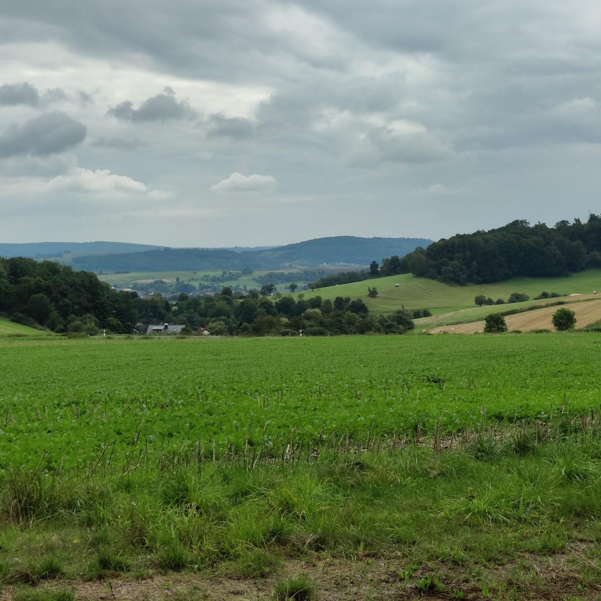
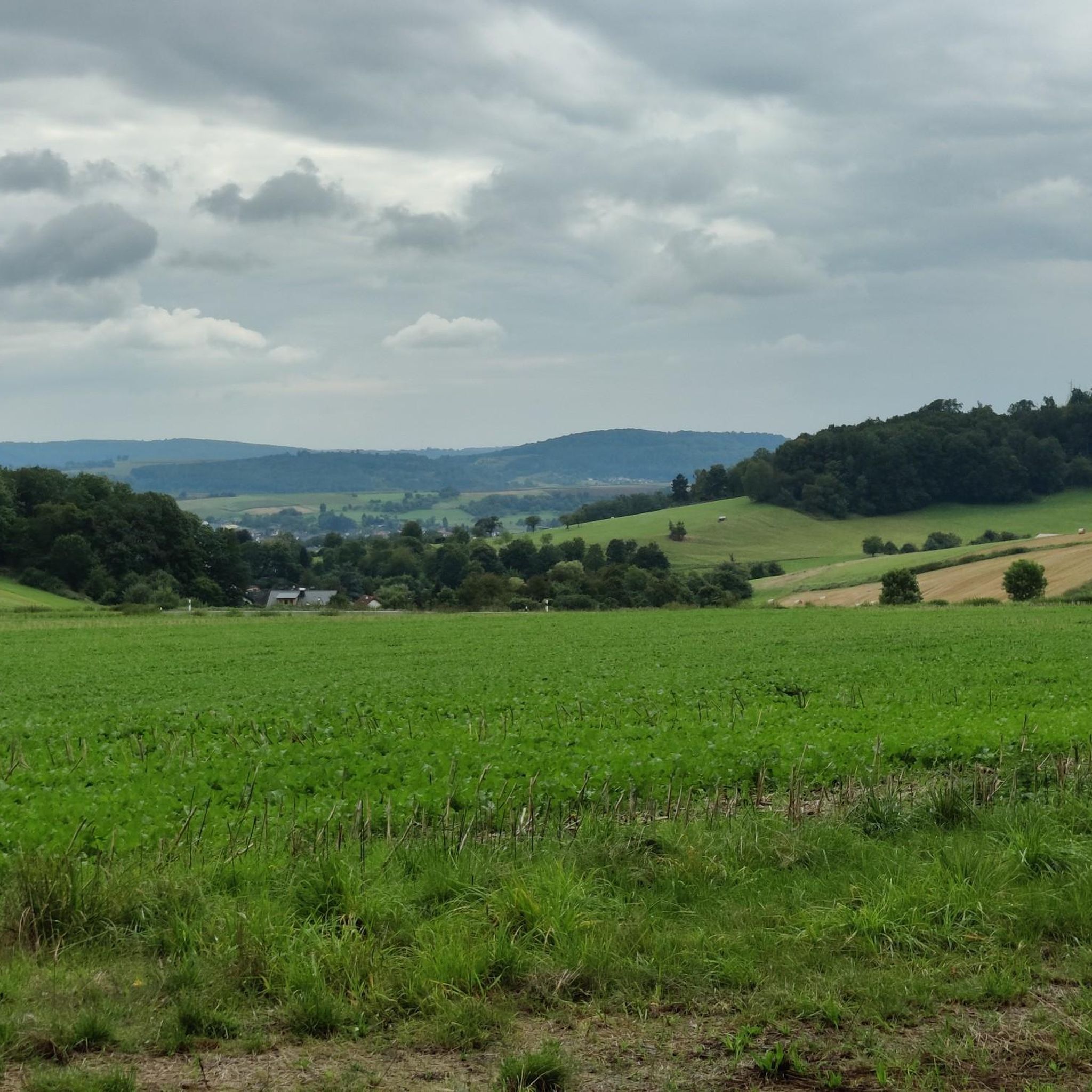
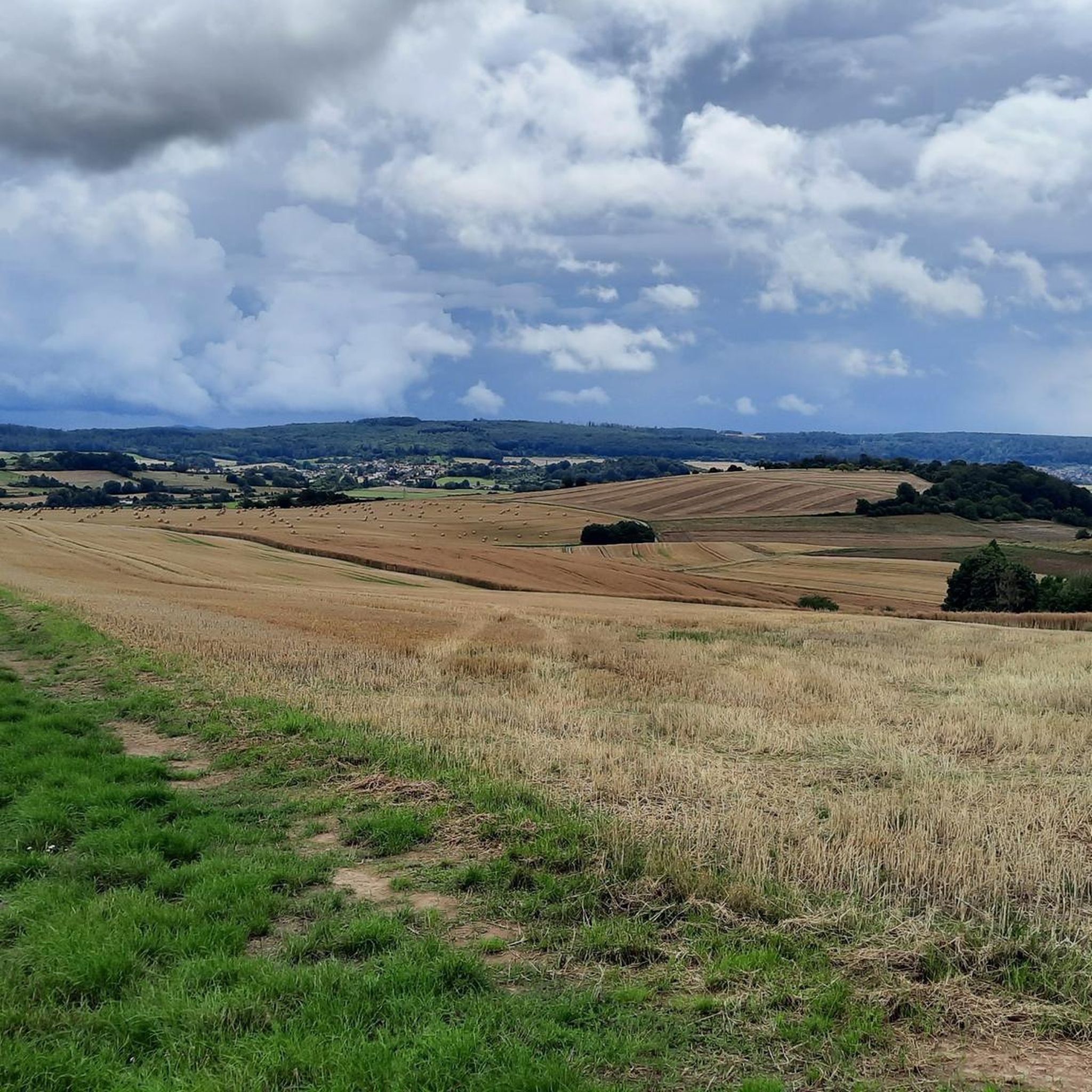
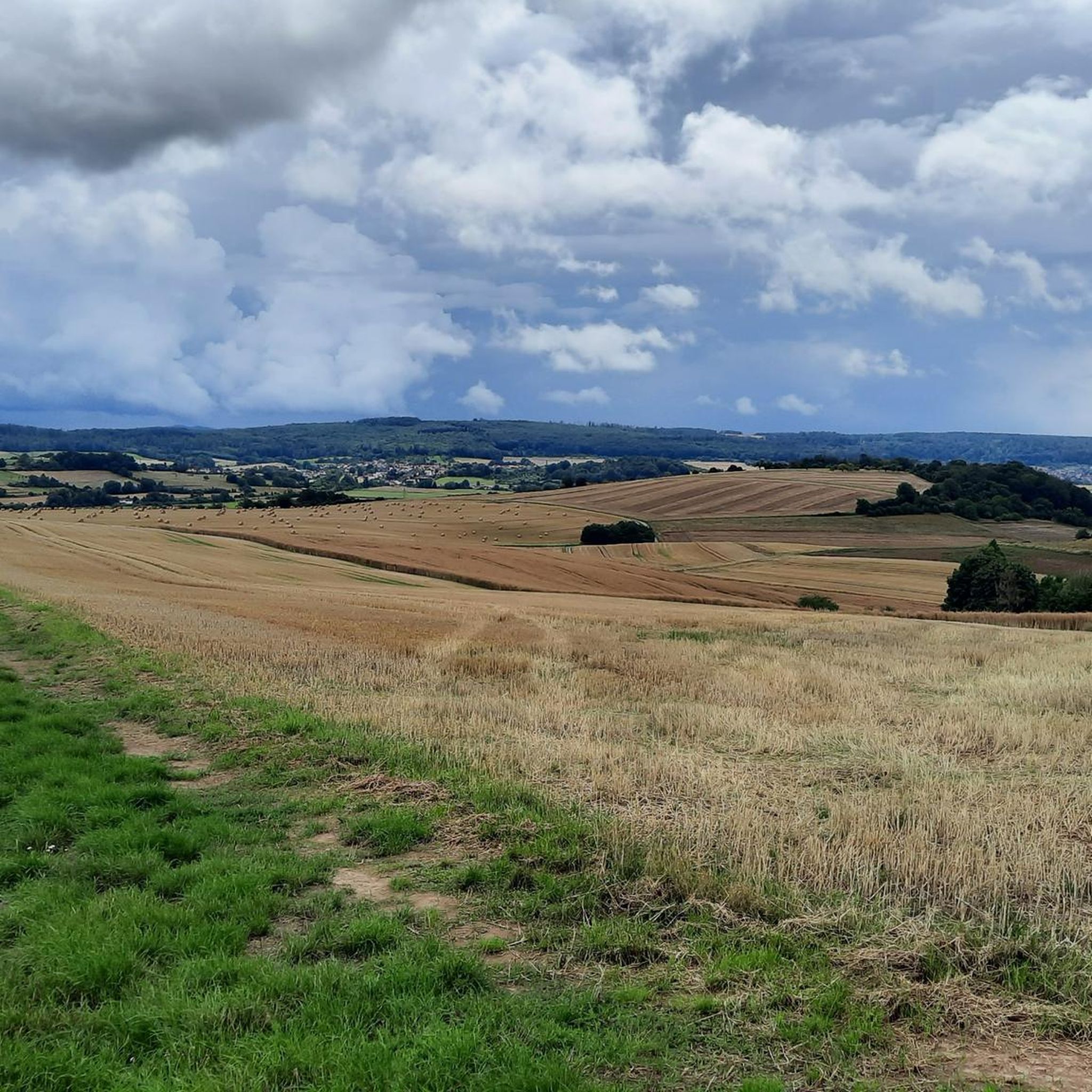
Hiking around Ranstadt offers trails through a landscape characterized by river valleys, local ponds, and gently rolling terrain. The region features paths alongside the Nidda River and around areas like Hartbeck Park Pond, providing accessible routes. While not mountainous, the area includes varied elevations, with some trails gaining over 100 meters, indicating a mix of flatter sections and moderate ascents. This blend of natural waterways and mild topography makes Ranstadt suitable for diverse hiking experiences.
Best hiking trails around Ranstadt
…Last updated: October 4, 2026
5.0
(3)
22
hikers
6.88km
01:46
30m
30m
Easy hike. Great for any fitness level. Easily-accessible paths. Suitable for all skill levels.
4.2
(5)
12
hikers
Moderate hike. Good fitness required. Easily-accessible paths. Suitable for all skill levels.

15
hikers
Easy hike. Great for any fitness level. Easily-accessible paths. Suitable for all skill levels.
5.0
(2)
21
hikers
6.12km
01:35
40m
30m
Easy hike. Great for any fitness level. Easily-accessible paths. Suitable for all skill levels.
5.0
(2)
7
hikers
14.3km
03:48
140m
140m
Moderate hike. Good fitness required. Easily-accessible paths. Suitable for all skill levels.
Get access to more routes and recommendations from other explorers.
Already have an account?
Our route recommendations are based on thousands of hikes, rides, and runs completed by other people on komoot.
Start today with a free account
Your next adventure awaits.
Tips from the Community

A nice place for a little break.
0
0

A nest with a pair. And offspring?
0
0
Right on the village square. Worth a little stop.
0
0
Small village square in Dauernheim. A linden tree like this can live for hundreds of years.
0
0
Not marked on the map. Small bridge for pedestrians or cyclists. Close to the football pitch. Paths are a bit muddy in places during/after rain. Good alternative to avoid having to walk along the country road.
0
0
The northern of the three Nidda bridges. Very idyllic. Please note, the middle one is not marked on the map (not yet? As of July 7, 2024).
0
0
You will receive a warm welcome at the entrance to the town :-)
0
0
One of the many Mainz wheels in Dauernheim. This one could have decorated the building since 1845.
0
0
Frequently Asked Questions
What kind of landscapes can I expect to see while hiking around Ranstadt?
Ranstadt's hiking trails wind through a charming landscape characterized by gentle river valleys, tranquil local ponds, and softly rolling terrain. You'll find paths tracing the Nidda River and exploring areas like Hartbeck Park Pond, offering a blend of natural waterways and mild topography.
Are there many hiking trails available in Ranstadt?
Yes, Ranstadt offers a good selection of hiking opportunities. There are over 90 hiking trails in the area, catering to various preferences and fitness levels.
Are there any easy, family-friendly hikes in Ranstadt?
Absolutely! Ranstadt is well-suited for families, with over 60 easy trails. A great option is the Busch-Kobold Topiary – Dauernheimer Stube loop from Ranstadt, which is about 3.5 km long and features gentle ascents, perfect for a leisurely family outing.
Can I find circular hiking routes in Ranstadt?
Yes, many of Ranstadt's trails are designed as loops, allowing you to start and end in the same location. For example, the popular Hartbeck Park Pond – Nidda River loop from Dauernheim is a 6 km circular route that takes you through pleasant riverine landscapes.
What do other hikers enjoy most about the trails in Ranstadt?
The trails in Ranstadt are highly rated by the komoot community, with an average score of 4.5 stars from over 70 reviews. Hikers often praise the accessible routes, the peaceful river paths, and the scenic parkland loops that define the area.
Are there any challenging hikes with more elevation gain in Ranstadt?
While Ranstadt is known for its gently rolling terrain, there are trails that offer more significant elevation changes. The Semperhäuschen – Evangelical Church of Ranstadt loop from Ranstadt is a moderate 9.6 km route with over 110 meters of ascent, providing a more challenging experience while exploring local landmarks.
What natural features or points of interest can I see along the hiking trails?
Ranstadt's trails offer views of the Nidda River and local ponds like Hartbeck Park Pond. You can also explore nearby natural highlights such as the Nidderauen von Stockheim Nature Reserve, which is a protected natural monument in the vicinity.
Are there any huts or shelters along the hiking routes in Ranstadt?
Yes, you can find several huts and shelters in the area. Notable options include the Birdwatching Hut at Mittleres Niddertal Salt Meadows and the Grill Hut Staden at the Sauerbrunnen, which can be convenient stops during your hike.
Are there any lakes near Ranstadt that I can visit?
Yes, the region around Ranstadt features several lakes. You might consider visiting Inheiden Lake (Trais-Horloffer Lake) or Wölfersheimer See, which offer additional opportunities for recreation and scenic views.
How long are the typical hikes around Ranstadt?
Hikes around Ranstadt vary in length, but many popular routes are between 3 to 10 kilometers. For instance, the Nidda River – Hartbeck Park Pond loop from Nachtweid von Dauernheim is a shorter option at about 3.3 km, while others like the Semperhäuschen loop extend to nearly 10 km.
Is Ranstadt suitable for winter hiking?
While the guide doesn't specify winter conditions, Ranstadt's gently rolling terrain and river paths suggest that many trails would be accessible for winter hiking, provided there isn't heavy snow or ice. Always check local conditions and weather forecasts before heading out.
Most popular attractions around Ranstadt

Get inspired with the komoot mobile app


Explore more
Browse the best Hikes in other regions.
