The best cycling routes around Carovilli
4.4
(29)
430
riders
64
rides
Touring cycling around Carovilli offers routes through a landscape characterized by significant elevation changes, river valleys, and dense forests. The region features numerous hills and mountainous terrain, providing challenging ascents and descents for touring cyclists. River systems, such as the Sangro, carve through the area, creating varied topography. This environment is ideal for those seeking long distance bike routes with substantial climbs.
Best touring cycling routes around Carovilli
- The most popular touring cycling route is Monte Ferrante and Carovilli Loop…
Last updated: August 17, 2026
22.3km
01:57
510m
510m
The Ring of the Montedimezzo State Nature Reserve offers a difficult 13.8-mile gravel loop through a UNESCO Biosphere Reserve.
4.3
(3)
27
riders
58.2km
03:54
920m
920m
Hard bike ride. Very good fitness required. Mostly paved surfaces. Suitable for all skill levels.

Sign up for free
13
riders
Hard bike ride. Very good fitness required. Mostly paved surfaces. Suitable for all skill levels.
3.0
(1)
11
riders
52.8km
03:44
710m
710m
Hard bike ride. Very good fitness required. Mostly paved surfaces. Suitable for all skill levels.
8
riders
83.1km
05:38
1,370m
1,370m
Hard bike ride. Very good fitness required. Mostly paved surfaces. Suitable for all skill levels.
Get access to more routes and recommendations from other explorers.
Sign up for free
Already have an account?
Our route recommendations are based on thousands of hikes, rides, and runs completed by other people on komoot.
Start today with a free account
Your next adventure awaits.
Login or Signup
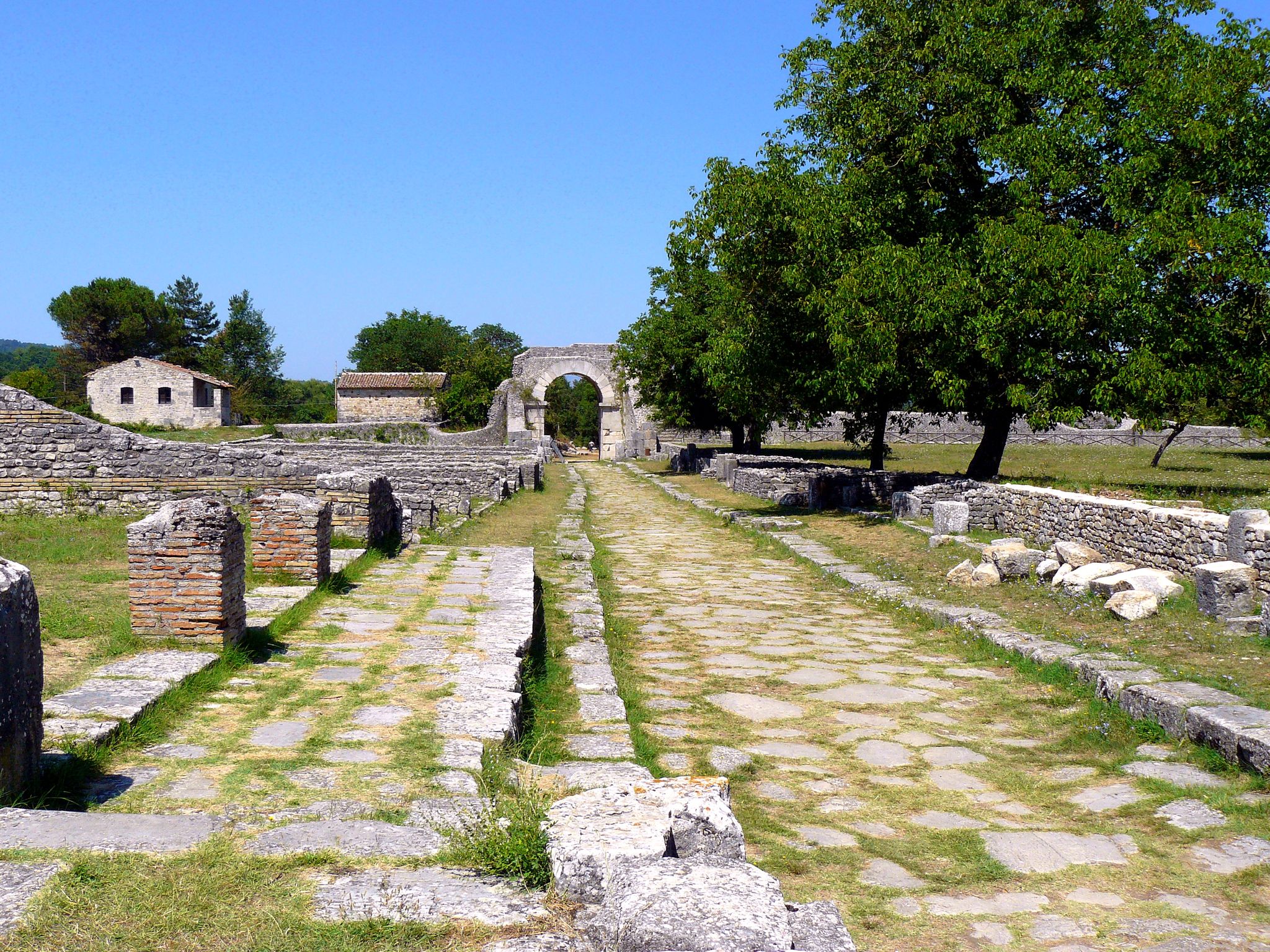

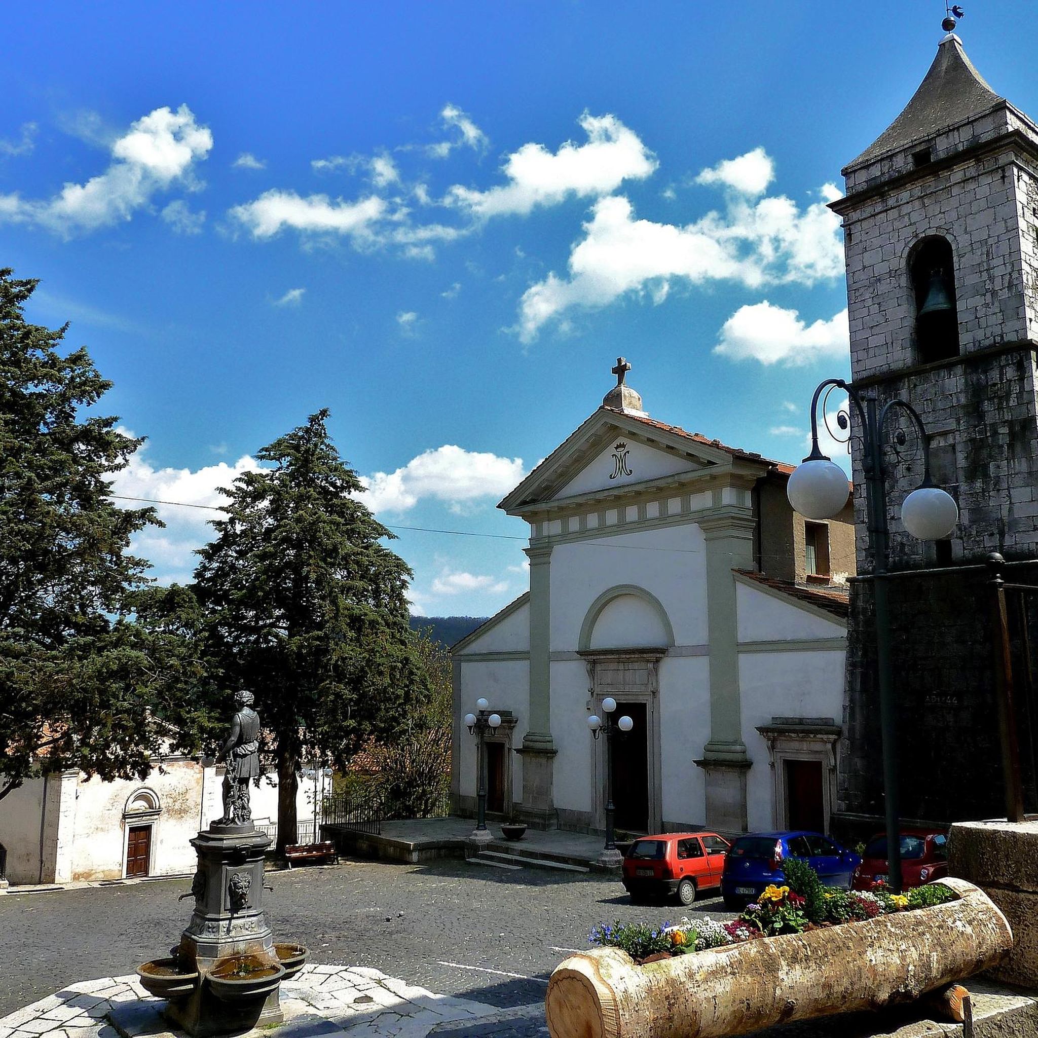
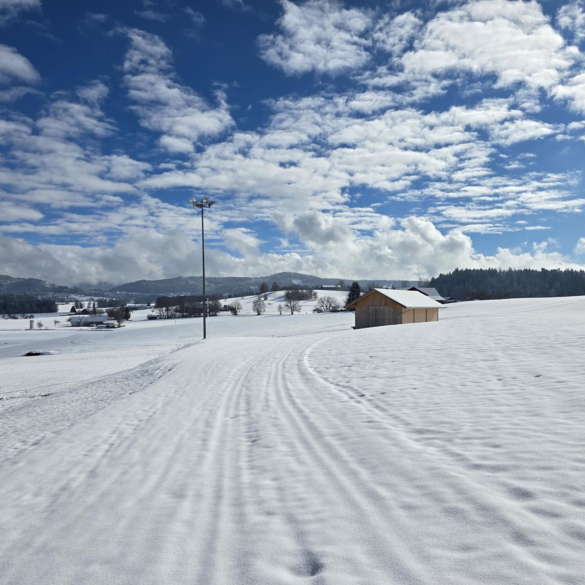
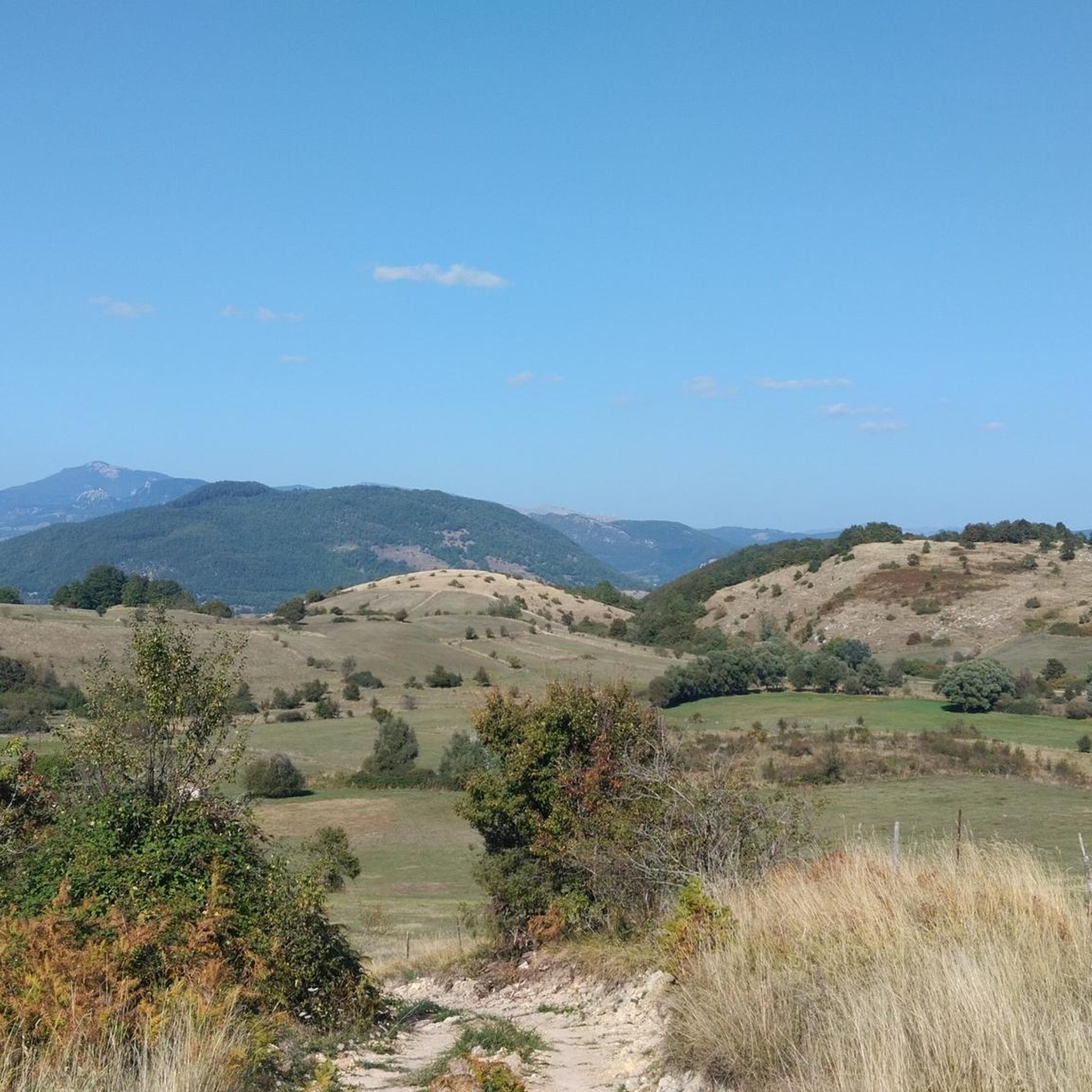
Other adventures around Carovilli

Tips from the Community

The sanctuary of the Madonna in Saletta is a religious building located in the middle of a pine and fir forest, three kilometers away from the center of the municipality of Castel del Giudice, in the province of Isernia
1
0


Sport Village Hotel & Spa is located in Castel di Sangro, in Piazza del Mezzogiorno 6, in the heart of the beautiful mountains of Abruzzo. This welcoming and modern property offers a perfect combination of comfort, wellness and sports, ideal for those looking for a relaxing break or an active adventure. With a strategic position, the hotel is the perfect starting point to explore the unspoiled nature of the Abruzzo, Lazio and Molise National Park, a few steps from the main attractions of the area, including the ski resorts of Roccaraso. After a day of outdoor activities, guests can regenerate in the property's wellness center, which includes a spa with swimming pools, saunas and relaxing treatments. Sport Village Hotel & Spa is also the ideal place to recharge your e-Bike and earn DINAclub points. Find out how at https://dinaclub.repower.com/ To discover the territory, an itinerary ready to pedal: https://www.komoot.com/it-it/tour/1957465840?share_token=ahFc5Ggsyk1h2Yrnz0m6QLBQN3z00nhnBQBi9ehCzY0mP1iJLs&ref=wtd
0
0
I knew the name for being the destination of the "Trans-Siberian of Italy" is a secondary railway line in Abruzzo and Molise. It is now crossed by tourist trains as part of the "Timeless Tracks" project
0
0

The Sangro river originates from Mount Turchio at 1,400 meters and flows into the Adriatic Sea. It is 122 kilometers long and has become quite famous in the world of sport fishing.
2
0

Hermitage set in the rock, tradition has it that it was a place of passage for the evangelist Luke on his journey between Rome and Palestine.
0
0

and an adjoining church which cannot also be visited.
0
0
"hermitage dedicated to the Patron Saint of Pescopennataro. The site opens once a year, during the festival dedicated to him
0
0
Frequently Asked Questions
How many touring cycling routes are available around Carovilli?
There are over 60 touring cycling routes in the Carovilli region, offering a wide range of options for cyclists. The landscape is characterized by significant elevation changes, river valleys, and dense forests.
What is the general difficulty level of touring cycling routes in Carovilli?
Carovilli is known for its challenging terrain. Most routes feature significant elevation changes, with 52 out of 63 routes rated as difficult. There are also 10 moderate routes and 1 easy route available, catering to different skill levels.
Are there any easy touring cycling routes suitable for beginners in Carovilli?
While the region is predominantly challenging, there is at least one easy touring cycling route available in Carovilli, ideal for beginners or those seeking a more relaxed ride. Most routes, however, involve substantial climbs and descents.
Are there any long-distance touring cycling routes in Carovilli?
Yes, Carovilli offers several long-distance touring cycling routes. For example, the Castello D'Alessandro – Montedimezzo Forest Trail loop from Pescolanciano-Chiauci is a difficult 51.8-mile (83.3 km) path that takes about 5 hours 40 minutes to complete.
Can I find circular touring cycling routes in Carovilli?
Many of the touring cycling routes in Carovilli are designed as loops, allowing you to start and end in the same location. An example is the Monte Ferrante and Carovilli Loop, which offers challenging climbs and panoramic views.
What kind of scenery can I expect on the touring cycling routes in Carovilli?
The routes in Carovilli traverse diverse landscapes, including river valleys, dense forests, and mountainous terrain. You can expect panoramic views from higher elevations and scenic stretches along rivers like the Sangro. The Sangro River Swimming Area – Recommended Route loop from Vastogirardi follows the Sangro River through varied landscapes.
What are some notable natural attractions or viewpoints along the touring cycling routes?
The region features several natural attractions. You might encounter the Montedimezzo Nature Reserve, a dense forest area, or the scenic Cascata di Mille waterfall. For panoramic views, consider routes near the Santa Lucia Cross and Viewpoint (Miranda).
Are there any historical sites or villages to explore near the cycling routes?
Yes, the Carovilli area is rich in history. You can explore charming settlements like Carpinone Historic Village, Pesche, or Pescolanciano. The Angioino Castle of Vastogirardi is another historical landmark worth visiting.
What do other cyclists say about touring cycling in Carovilli?
The touring cycling routes in Carovilli are highly rated by the komoot community, with an average score of 4.5 stars from over 26 reviews. Cyclists often praise the challenging climbs, panoramic views, and the varied terrain that defines the region.
Is there a route that combines river scenery with forest trails?
Yes, the Val di Sangro Cycle Path – Villa Scontrone loop from Vastogirardi is a difficult 42.8-mile (68.9 km) route that offers a combination of river scenery along the Sangro and passages through forested areas.
Are there any routes that offer views of castles or historic structures?
The Pietrabbondante – Strada Panoramica di Bocce loop from Pescolanciano-Chiauci is a difficult 29.5-mile (47.5 km) route that passes through areas with historical significance, potentially offering glimpses of ancient structures or nearby villages like Pietrabbondante, known for its archaeological site.
Most popular attractions around Carovilli

Get inspired with the komoot mobile app


Explore more
Browse the best Cycling routes in other regions.
