The best cycling routes in Monte Aloia
4.6
(55)
640
riders
48
rides
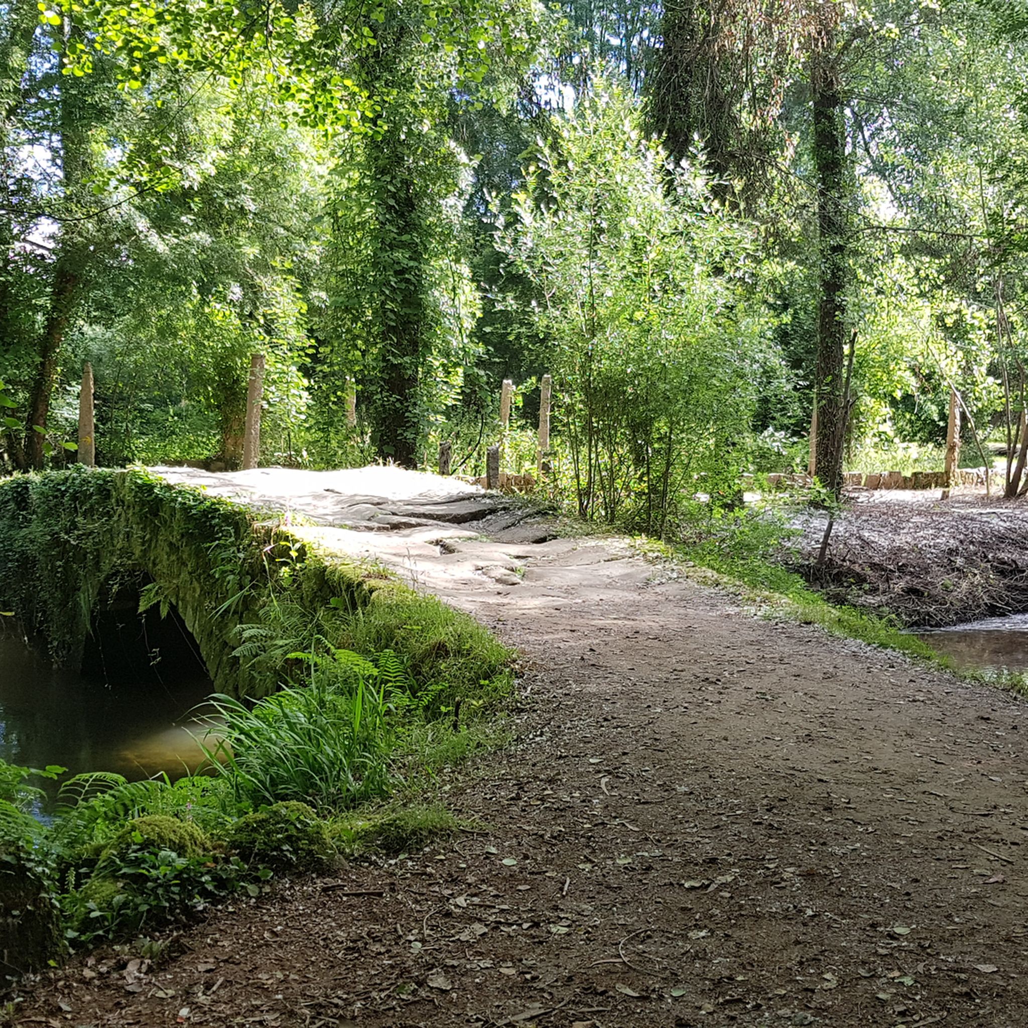
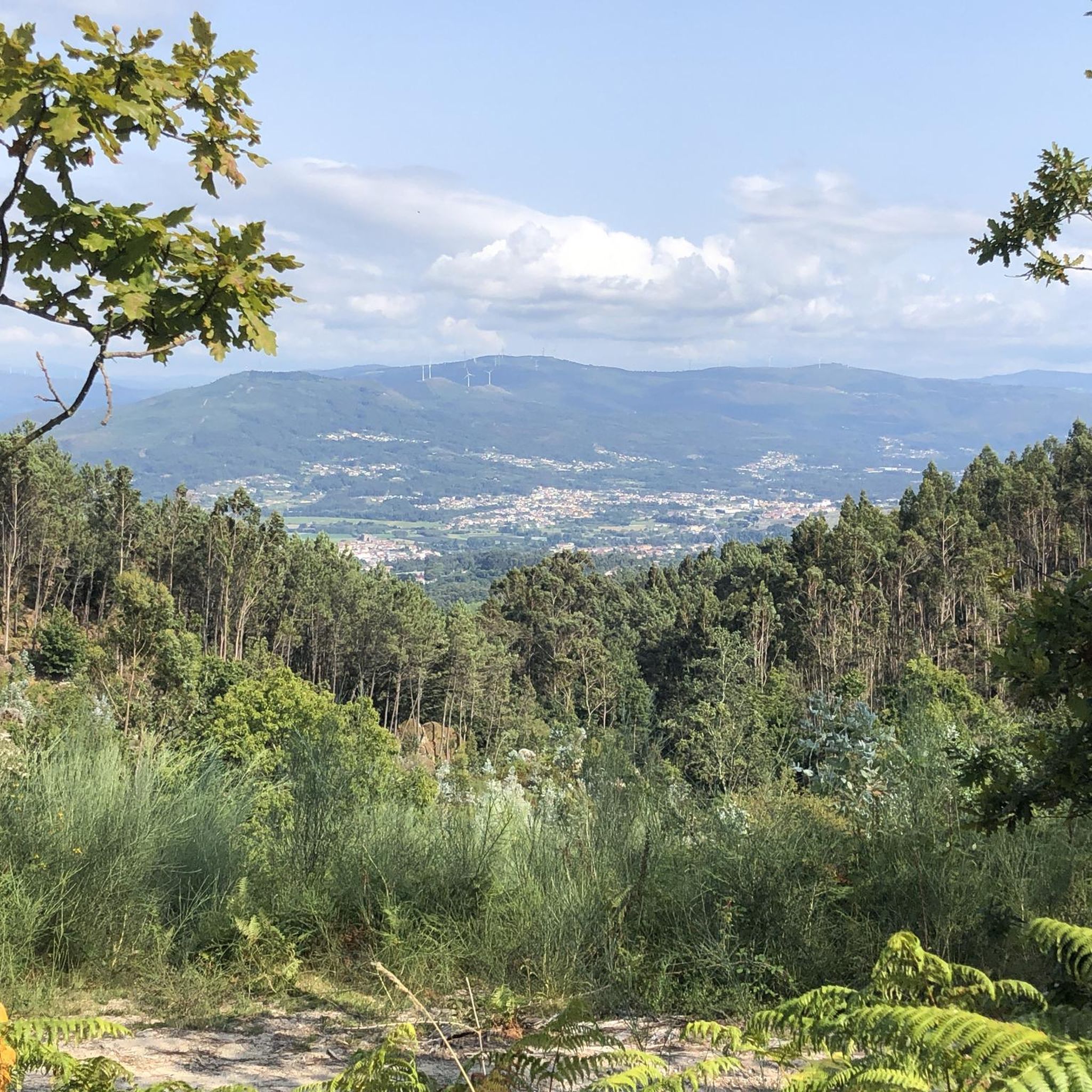
Touring cycling in Monte Aloia features a varied landscape, characterized by diverse forests, river valleys, and significant elevation changes. The region, part of the Serra do Galiñeiro, rises to over 600 meters, offering panoramic views over the Miño River and surrounding valleys. Its rugged topography, with altitudes ranging from 80 to 629 meters, presents a range of challenges for touring cyclists. The park's granitic terrain and exposed rock formations add to the scenic appeal.
Best touring cycling routes in Monte…
Last updated: July 4, 2026
17
riders
96.1km
06:12
970m
970m
Hard bike ride. Very good fitness required. Mostly paved surfaces. Suitable for all skill levels.
4.0
(2)
12
riders
30.5km
01:46
160m
160m
Moderate bike ride. Good fitness required. Mostly paved surfaces. Suitable for all skill levels.

Sign up for free
10
riders
21.2km
02:10
620m
620m
Hard bike ride. Very good fitness required. You may need to push your bike for some segments of this route.
5.0
(2)
13
riders
43.6km
03:00
390m
390m
Moderate bike ride. Good fitness required. Mostly paved surfaces. Suitable for all skill levels.
5.0
(1)
9
riders
74.4km
05:05
1,150m
1,150m
Hard bike ride. Very good fitness required. You may need to push your bike for some segments of this route.
Get access to more routes and recommendations from other explorers.
Sign up for free
Already have an account?
Our route recommendations are based on thousands of hikes, rides, and runs completed by other people on komoot.
Start today with a free account
Your next adventure awaits.
Login or Signup
Tips from the Community

For those of us who are older, it reminds us of what it was like to cross from one country to another, when you might randomly have to open the trunk of your car so that both police forces could check what you were carrying, so that younger people could get their documents, and above all so that everyone can see how beautiful and enriching it is to be able to live in peace between neighboring countries.
0
0
Because it allows you to travel along the coast avoiding the main road, and is also a stop on the Portuguese Coastal Way.
0
0


A fantastic place
0
0

The Tui International Bridge is a landmark on the border between Portugal and Spain, connecting the Galician city of Tui to Valença, Portugal, across the Minho River. This historic metal truss bridge serves as a crossing for cars, trains, and pedestrians. It is also part of the Camino de Santiago route, offering views of the river and both cities.
1
0
The Tui International Bridge is a landmark on the border between Portugal and Spain, connecting the Galician city of Tui to Valença, Portugal, across the Minho River. This historic metal truss bridge serves as a crossing for cars, trains, and pedestrians. It is also part of the Camino de Santiago route, offering views of the river and both cities.
1
0
The Tui International Bridge is a landmark on the border between Portugal and Spain, connecting the Galician city of Tui to Valença, Portugal, across the Minho River. This historic metal truss bridge serves as a crossing for cars, trains, and pedestrians. It is also part of the Camino de Santiago route, offering views of the river and both cities.
1
0

Magnificent landscape, the Camino de Santiago by the coast is stunning
0
0
Frequently Asked Questions
What kind of terrain can I expect on touring cycling routes in Monte Aloia?
Monte Aloia offers a varied landscape for touring cyclists, characterized by diverse forests, river valleys, and significant elevation changes. You'll encounter a mix of native vegetation like cork oaks and hollies, alongside exotic species from reforestation efforts. While some segments may be unpaved and challenging, many routes feature well-paved surfaces, especially the 8km road winding up to the Ermida San Xiao chapel. The region's rugged topography, with altitudes ranging from 80 to 629 meters, ensures a diverse riding experience.
Are there any easy touring cycling routes suitable for beginners in Monte Aloia?
Yes, while many routes in Monte Aloia are considered difficult, there are options for those seeking a more moderate experience. For example, the Roman Bridge of Pontenova loop from Tui is a moderate 30.5 km route with less elevation gain, making it a good choice for less experienced touring cyclists. Overall, 15 of the 55 routes in the area are rated as moderate.
What are the best times of year to go touring cycling in Monte Aloia?
Monte Aloia's diverse forests and riverine environments offer beautiful scenery throughout the year. The spring and autumn months generally provide pleasant temperatures and vibrant natural colors, making them ideal for touring cycling. Summers can be warm, but the forested areas offer shade. Winters are typically mild, though some higher elevation sections might be cooler. Always check local weather forecasts before heading out.
What kind of views and natural features can I expect to see along the touring cycling routes?
Monte Aloia is renowned for its breathtaking panoramic views. You can expect vistas over the Miño River, the Louro and Miñor valleys, Mount Santa Trega, and on clear days, even the distant Cíes Islands. The park features diverse forests with a mix of native and exotic trees, and the proximity to the Miño River offers a rich riverine environment. Don't miss the opportunity to visit viewpoints like San Ciao Viewpoint or the View from Alto de San Xiao, Monte Aloia.
Are there any circular touring cycling routes in Monte Aloia?
Yes, many of the touring cycling routes in Monte Aloia are designed as loops, allowing you to start and finish in the same location. An example is the Tui loop from Tui, a moderate 42.8 km route. These circular routes are convenient for exploring the region without needing to arrange transport back to your starting point.
What historical or cultural landmarks can I explore while cycling in Monte Aloia?
Monte Aloia holds significant archaeological wealth, including prehistoric and Roman remains, as well as a walled enclosure from the Galician-Roman period. You can visit the Chapel and Hostel on Monte Aloia, or explore the intriguing Pedra do Acordo. The park also features an interpretation center, the 'Casa do Enxeñeiro Areses,' which provides valuable insights into its history and highlights.
Are there any family-friendly touring cycling options in Monte Aloia?
While many routes involve significant elevation, Monte Aloia does offer some less demanding trails. The park's well-marked walking trails, which are generally not too demanding, can sometimes be adapted for family cycling, especially for shorter distances. For dedicated touring cycling, look for routes rated as 'moderate' or 'easy' on komoot, which will have less challenging climbs and distances more suitable for families.
What do other touring cyclists say about their experience in Monte Aloia?
The touring cycling routes in Monte Aloia are highly rated by the komoot community, with an average score of 4.4 stars from over 80 reviews. Cyclists often praise the diverse forests, panoramic viewpoints, and the variety of challenges offered by the terrain. Many appreciate the well-maintained paths and the opportunity to explore both natural beauty and historical sites.
Is Monte Aloia suitable for dog-friendly touring cycling?
Monte Aloia is a natural park, and generally, dogs are welcome on trails as long as they are kept under control, typically on a leash, and owners clean up after them. The varied terrain and natural environment make it a great place to explore with your canine companion. Always ensure your dog is fit enough for the chosen route and bring plenty of water for both of you.
Are there places to eat or get refreshments near the touring cycling routes in Monte Aloia?
The Monte Aloia Natural Park provides excellent spots for open-air leisure activities, including picnics. While specific cafes directly on every route might be limited, the nearby town of Tui and surrounding villages offer various options for refreshments, meals, and accommodation. The interpretation center within the park can also provide information on local amenities.
How many touring cycling routes are available in Monte Aloia?
There are over 50 touring cycling routes available in Monte Aloia, catering to various skill levels. This includes 1 easy route, 15 moderate routes, and 39 difficult routes, ensuring options for every touring cyclist looking to explore the region's diverse landscapes.
Is public transport available to reach Monte Aloia for cycling?
Monte Aloia is located near Tui, which has public transport connections. While direct public transport to the specific trailheads within the natural park might be limited, you can often reach nearby towns by bus or train and then cycle to the park entrance. Planning your route in advance and checking local transport schedules is recommended.
Most popular routes in Monte Aloia
Most popular attractions in Monte Aloia

Get inspired with the komoot mobile app


Explore more
Browse the best Cycling routes in other regions.
