The best MTB trails in Poloniny
4.6
(131)
740
riders
48
rides
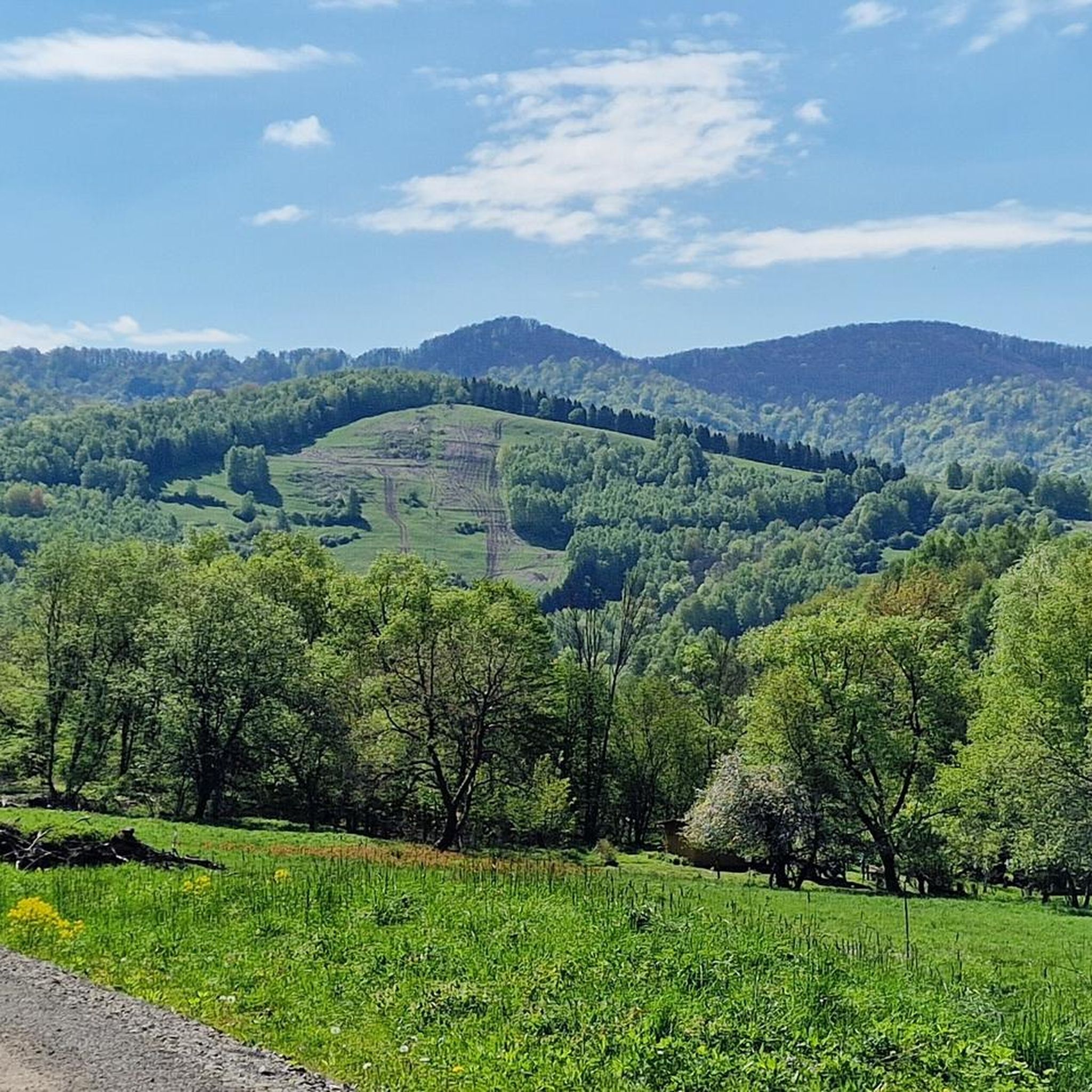
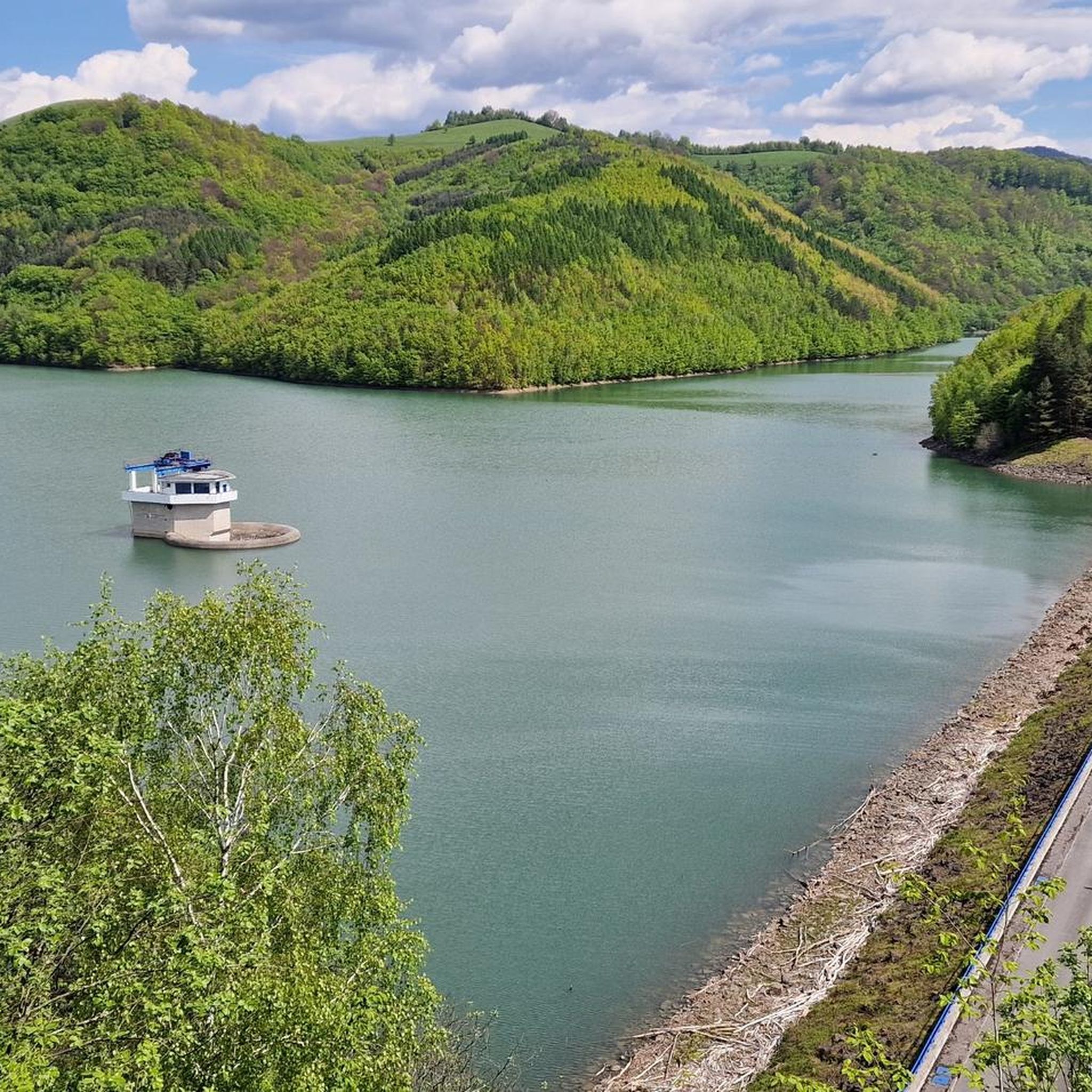
Mountain biking in Poloniny offers diverse terrain within a region known for its UNESCO World Heritage Primeval Beech Forests and expansive alpine meadows. The landscape features significant elevation changes, including Kremenec Peak at 1,221 meters, and the large Starina Reservoir. Riders can explore ancient forests, open uplands, and routes that traverse through valleys with streams.
Best mountain bike trails in Poloniny
- The most popular mountain bike trail is Vodná nádrž Starina – Ptaki wodne loop from Stakčín, a 41.4…
Last updated: October 13, 2026
5.0
(5)
22
riders
63.0km
04:04
900m
900m
Moderate mountain bike ride. Good fitness required. Suitable for all skill levels.
2
riders
30.4km
03:23
1,110m
1,110m
Hard mountain bike ride. Very good fitness required. Suitable for all skill levels.

1
riders
30.2km
03:23
1,090m
1,090m
Hard mountain bike ride. Very good fitness required. Suitable for all skill levels.
13
riders
59.6km
04:27
1,220m
1,220m
Hard mountain bike ride. Very good fitness required. Suitable for all skill levels.
4.7
(10)
59
riders
40.3km
02:45
500m
510m
Moderate mountain bike ride. Good fitness required. Suitable for all skill levels.
Get access to more routes and recommendations from other explorers.
Already have an account?
Our route recommendations are based on thousands of hikes, rides, and runs completed by other people on komoot.
Start today with a free account
Your next adventure awaits.


Tips from the Community

More information and photos: https://pl.wikipedia.org/wiki/Prze%C5%82%C4%99cz_nad_Roztokami_G%C3%B3rnymi https://mapa-turystyczna.pl/node/przelecz-nad-roztokami#49.14426/22.33040/14 https://goryaktywnie.pl/przelecz-nad-roztokami https://odtur.pl/atrakcje/cisna-przelecz-nad-roztokami-gornymi-55250.html
2
0
More information and photos: https://pl.wikipedia.org/wiki/Okr%C4%85glik_(Bieszczady) https://mapa-turystyczna.pl/node/okraglik#49.14685/22.36628/14 https://www.nawycieczke.pl/pl/atrakcja/okraglik-1101-m-n-p-m https://poznajgory.pl/attractions/okraglik/ https://www.twojebieszczady.net/piesze/n_plasza.php https://gdziebytudalej.pl/fereczata-okraglik-plasza-paportna/ https://www.planetagor.pl/articles/entry/Wst-p-do-po-onin-Jas-o-Okr-glik-Fereczata https://podroze.onet.pl/ciekawe/okraglik/smcbel8
2
0
More information: https://pl.wikipedia.org/wiki/P%C5%82asza_(1163_m) https://andrzej-banach.eu/w-gorach/bieszczadzkie-poloniny/plasza/ https://www.lasy.gov.pl/pl/informacje/aktualnosci/ustanowiono-kolejny-rezerwat-na-podkarpaciu
2
0
More information and photos: https://pl.wikipedia.org/wiki/P%C5%82asza_(1163_m) https://andrzej-banach.eu/w-gorach/bieszczadzkie-poloniny/plasza/ https://www.lasy.gov.pl/pl/informacje/aktualnosci/ustanowiono-kolejny-rezerwat-na-podkarpaciu
2
0
Płasza (1163 m) – a peak in the Western Bieszczady Mountains, on the border with Slovakia. On the northern (Polish) side, it forms a short ridge separating the Płaszyniw and Chomów streams, which are tributaries of the Smerek. The summit is treeless, while the slopes are covered with forest. A hiking trail leads over the summit. From the summit, there is a wide panoramic view covering the entire horizon. The name of the peak is distorted. The correct name is Plasza and comes from the Romanian word ples, meaning treeless terrain. On the northern slopes, traces of trenches from World War I and World War II have been preserved. source of information: https://pl.wikipedia.org/wiki/P%C5%82asza_(1163_m)
2
0

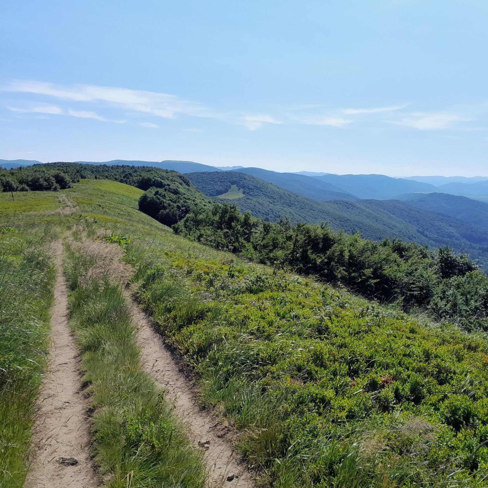
Ah, those Bieszczady peaks—why go to paradise when you're already there? Okrąglik, at 1,106 meters above sea level, is in the Western Bieszczady Mountains on the Polish-Slovak border. The views are spectacular—especially towards Slovakia.
1
0

You need to be in good shape to climb the 28% climb. Overall, the route is great, the views are amazing!
0
0

Frequently Asked Questions
What kind of terrain can I expect on mountain bike trails in Poloniny?
Poloniny offers diverse terrain, from challenging routes with significant elevation changes to more moderate forest paths. You'll encounter ancient UNESCO World Heritage Primeval Beech Forests, expansive alpine meadows (poloniny), and routes that traverse through valleys with streams. Some trails, particularly those leading to higher elevations like Kremenec Peak, can be quite demanding and may require pushing your bike on steeper sections.
Are there mountain bike trails suitable for beginners or families in Poloniny?
Yes, Poloniny offers a range of trails accommodating various skill levels. While many routes feature significant climbs, there are also easier forest paths and designated cycle paths that are less demanding, making them suitable for beginners or families looking for a more relaxed ride. The region boasts over 250 km of well-marked cycle paths, ensuring options for all fitness levels.
What are some notable natural landmarks or viewpoints I can see while mountain biking in Poloniny?
Poloniny is rich in natural beauty. You can cycle past the impressive Starina Reservoir, the largest drinking water basin in Slovakia. Higher trails offer panoramic vistas, especially from points like Kremenec Tri-Border Point, where you can see across Slovakia, Poland, and Ukraine. You might also encounter the Small Waterfall in Stužica or explore the ancient Stužica National Nature Reserve.
Can I rent e-bikes in Poloniny?
Yes, for those who prefer an assisted ride, e-bike rentals are readily available in towns like Snina, providing a convenient option to explore the region's diverse terrain with less effort.
What is the best time of year for mountain biking in Poloniny?
The warmer months, typically from late spring to early autumn, offer the most favorable conditions for mountain biking in Poloniny. During this period, trails are generally dry, and the weather is pleasant for outdoor activities. The region transforms into a winter wonderland during colder months, suitable for snowshoeing and cross-country skiing, but less ideal for mountain biking.
Are there any circular mountain bike routes in Poloniny?
Yes, many mountain bike trails in Poloniny are designed as loops, allowing you to start and finish at the same point. For example, the Vodná nádrž Starina – Ptaki wodne loop from Stakčín circles the Starina Reservoir, and the Okrąglik / Kruhliak – Płasza loop from Šípková offers significant climbs and panoramic views.
What do other mountain bikers enjoy most about Poloniny?
The area is highly rated by the komoot community, with an average score of 4.7 stars from over 95 reviews. Reviewers often praise the pristine natural landscapes, the extensive network of well-marked cycle paths, and the opportunity to explore ancient forests and expansive alpine meadows. Many appreciate the diverse trails that cater to different skill levels and the continuous views of unspoiled nature.
Are there any historical or cultural sites accessible by mountain bike in Poloniny?
Yes, Poloniny offers routes that meander through picturesque Ruthenian villages, where you can find beautifully preserved 18th-century wooden churches in places like Ulicske Krive, Topola, and Rusky Potok. The dedicated Poloniny Trail cycling circuit is designed to highlight both the natural beauty and the rich cultural heritage of the area, featuring these traditional wooden churches and local crafts.
Can I cross borders into neighboring countries while mountain biking in Poloniny?
Yes, Poloniny's trail system seamlessly connects with Poland's Bieszczady National Park and Ukraine's Uzhanskyi National Nature Park. A particularly appealing route begins in the village of Ruske, following a 19th-century preserved road, which offers the unique possibility of continuing into Poland via a seasonal tourist border crossing.
Are there any mountain bike trails that lead to waterfalls in Poloniny?
While Poloniny is known for its dense forests and reservoirs, you can find natural features like the Small Waterfall in Stužica. Some trails may pass near or offer access to such natural monuments, providing scenic stops during your ride.
What are some of the more challenging mountain bike routes in Poloniny?
For experienced riders seeking a challenge, trails like the Forest Path to Morské Oko – Muddy Forest Trail loop from Snina offer significant elevation gains and varied terrain through dense forests. Another difficult option is the Base of the People of the Mist – Dwernik Kamień loop from Przysłup, which features substantial climbs.
Is there parking available near the mountain bike trails in Poloniny?
Yes, parking facilities are typically available in and around the villages and trailheads within Poloniny National Park. Specific parking information can often be found on individual route descriptions or local tourist information boards.
Most popular routes in Poloniny
Most popular attractions in Poloniny

Get inspired with the komoot mobile app


Explore more
Browse the best MTB trails in other regions.
