The best running trails in Cadí-Moixeró
5.0
(4)
827
runners
38
runs
Jogging in Cadí-Moixeró provides access to a varied landscape characterized by impressive limestone mountain ranges, including the Cadí and Moixeró massifs. The region features elevations from 800 meters in valleys to peaks exceeding 2,500 meters, offering a range of environments for runners. Trails wind through lush valleys, expansive meadows, and extensive forests of pine, fir, and beech. This natural park offers a well-developed network of trails suitable for various running experiences.
Best jogging routes in Cadí-Moixeró
- The most popular jogging route is Refugio Vents del Cadí, Refugi Sant Jordi, Coll de la Boixassa – Circular Route, a 5.9 miles (9.6 km) trail that takes 2 hours 3 minutes to complete. This difficult route features significant elevation gain through mountainous terrain.
- Another top favourite among local runners is Prat d'Aguiló - Comabona Trail, a difficult 6.6 miles (10.7 km) path. This route provides high-mountain views from Comabona Summit.
- Local runners also love the Lluís Estasen Refuge – Gresolet Refuge loop from Refugi Gressolet - Santuari, a 13.2 miles (21.3 km) trail leading through dense forests and valleys, often completed in about 3 hours 24 minutes.
- Jogging in Cadí-Moixeró is defined by limestone mountain ranges, lush valleys, and extensive forests. The extensive trail network offers options for different ability levels, from challenging alpine routes to more gentle paths.
- The routes in Cadí-Moixeró are highly rated by the komoot community with an average score of 5.0 stars from a few reviews. Nearly 900 runners have used komoot to explore Cadí-Moixeró's varied terrain.
Last updated: June 23, 2026
5.0
(1)
27
runners
Hard run. Very good fitness required. Sure-footedness, sturdy shoes and alpine experience required.
5.0
(1)
11
runners
10.7km
02:02
670m
670m
Hard run. Very good fitness required. Sure-footedness, sturdy shoes and alpine experience required.

Sign up for free
5.0
(1)
198
runners
21.4km
03:25
1,040m
1,040m
Hard run. Very good fitness required. Sure-footedness, sturdy shoes and alpine experience required.
5.0
(1)
113
runners
Hard run. Very good fitness required. Sure-footedness, sturdy shoes and alpine experience required.
52
runners
17.1km
02:58
920m
930m
Hard run. Very good fitness required. Sure-footedness, sturdy shoes and alpine experience required.
Get access to more routes and recommendations from other explorers.
Sign up for free
Already have an account?
Our route recommendations are based on thousands of hikes, rides, and runs completed by other people on komoot.
Start today with a free account
Your next adventure awaits.
Login or Signup
Popular around Cadí-Moixeró
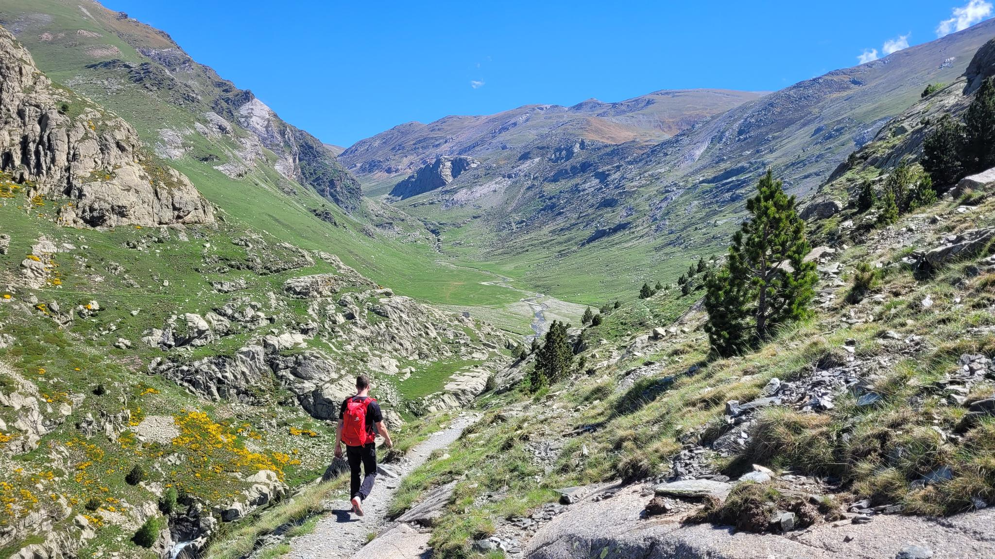
10 hikes with teenagers — Catalan paradises
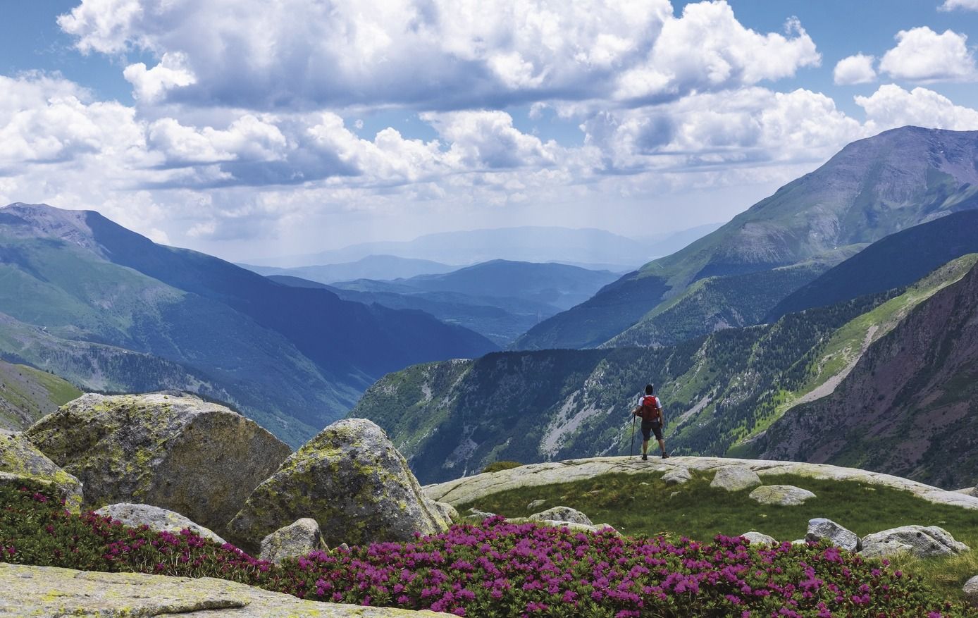
Great Hiking Routes of Catalonia
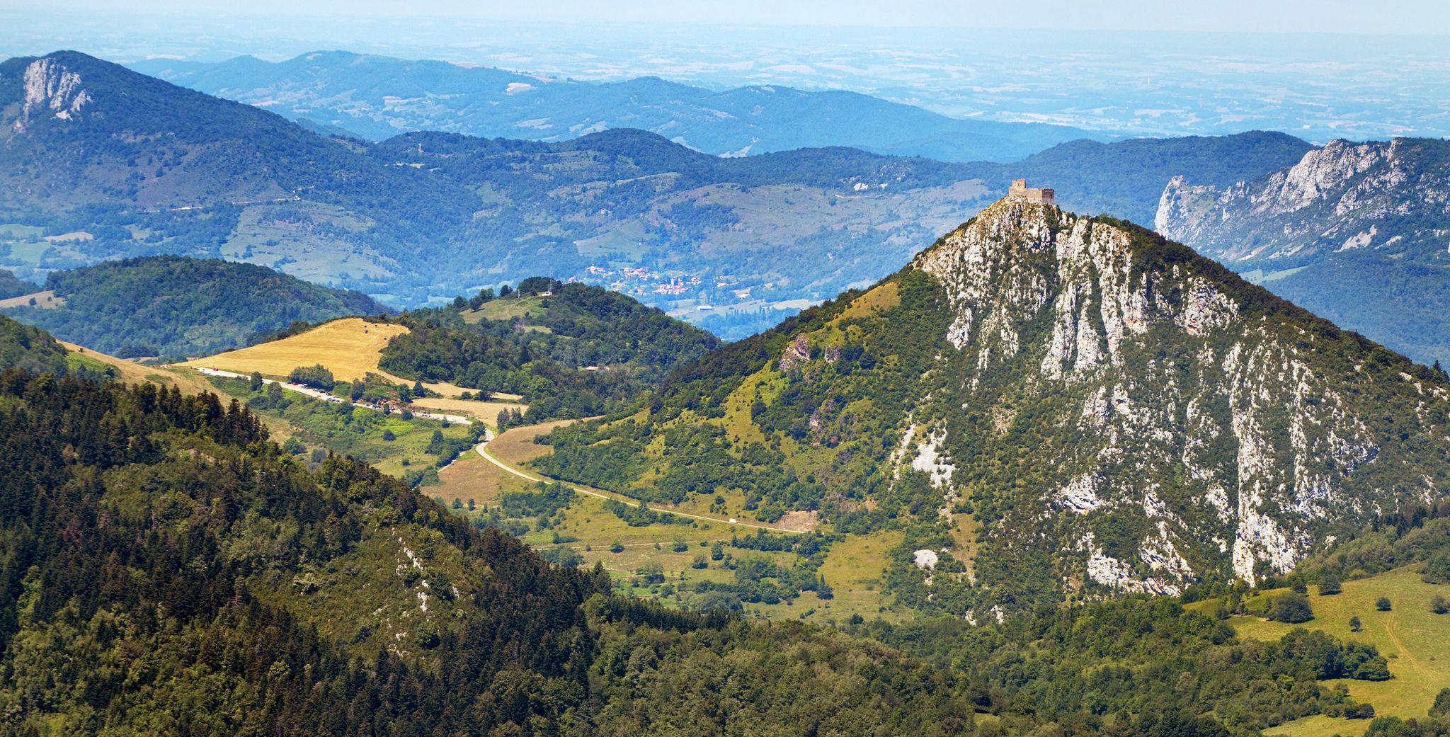
Cathar Route from Catalonia to France – Bons Homes Path (GR 107)
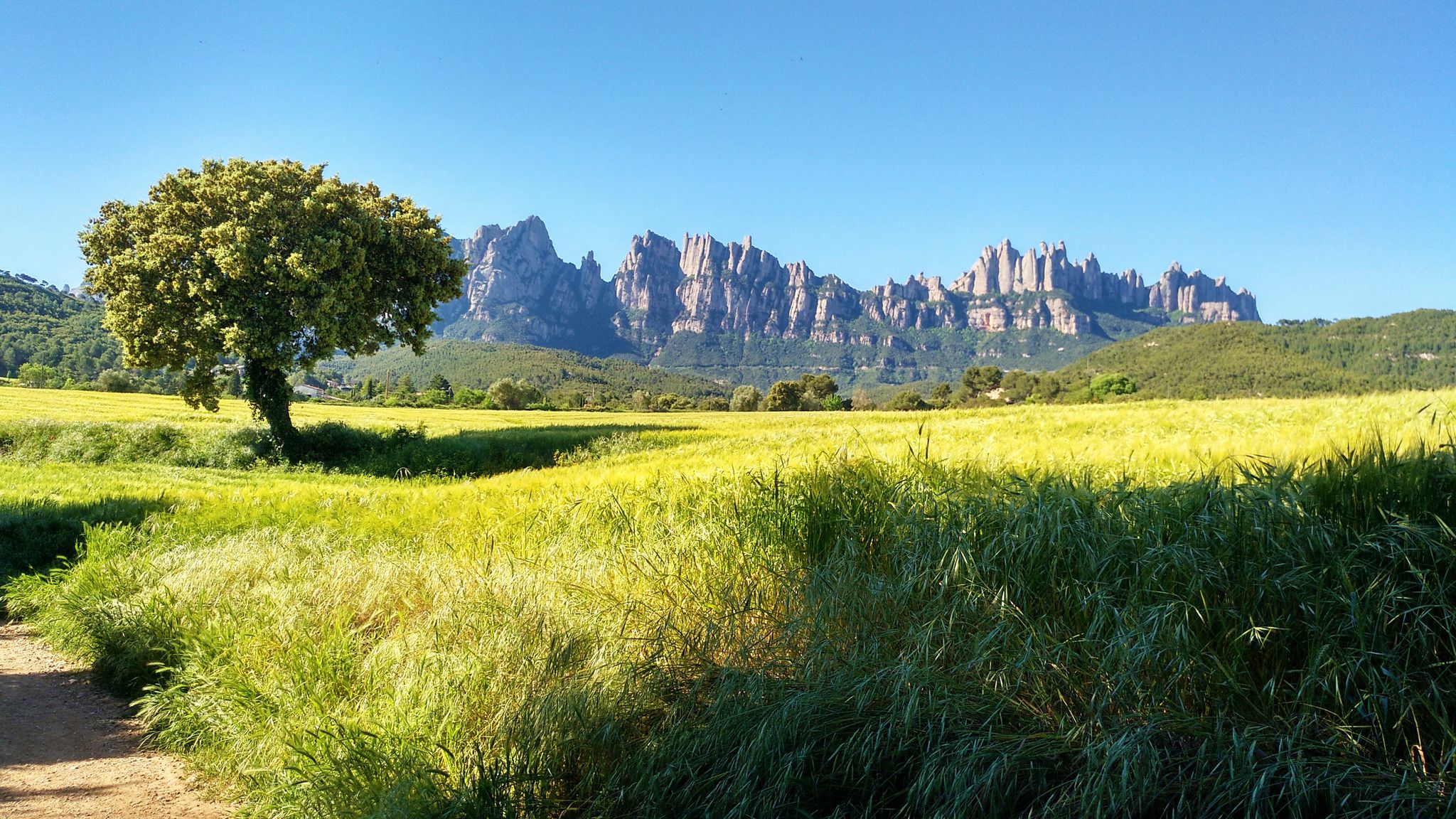
On foot from France to Montserrat – GR 4
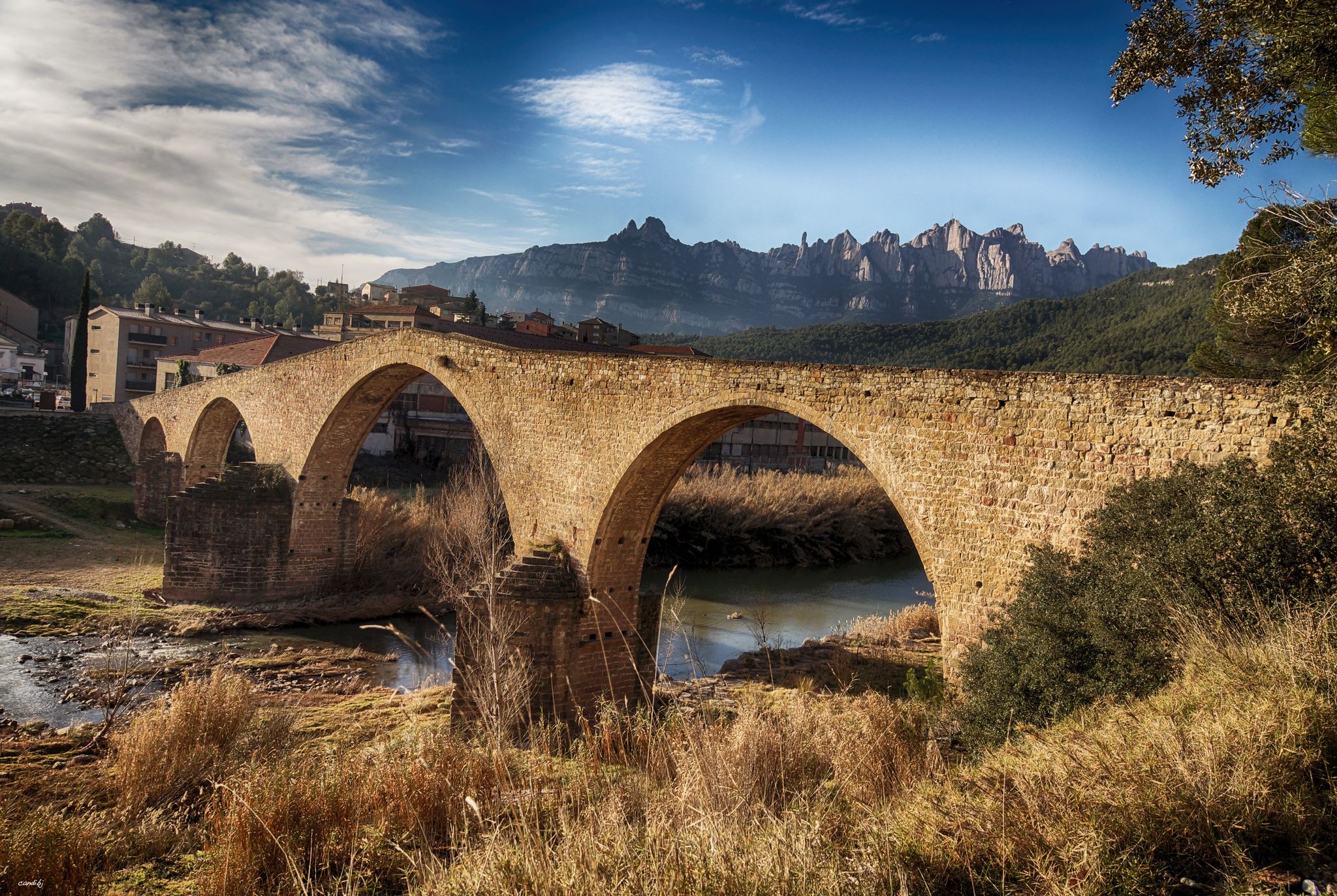
The river of Barcelona – El Camí del Llobregat
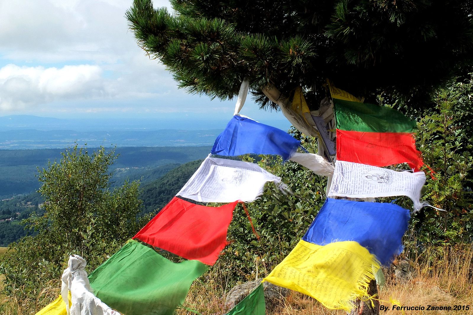
The symbol of Nepal in the Pyrenees – Cavalls del Vent
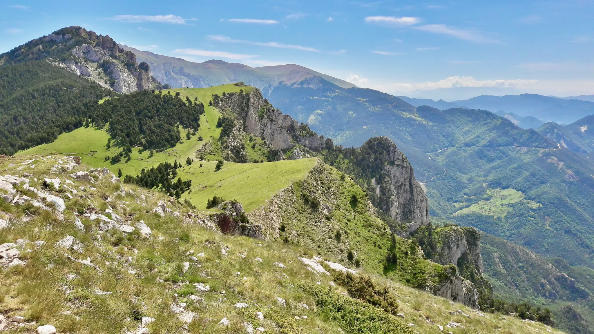
Hiking in Cavalls del Vent — Spain’s Parque Natural Cadí-Moixeró
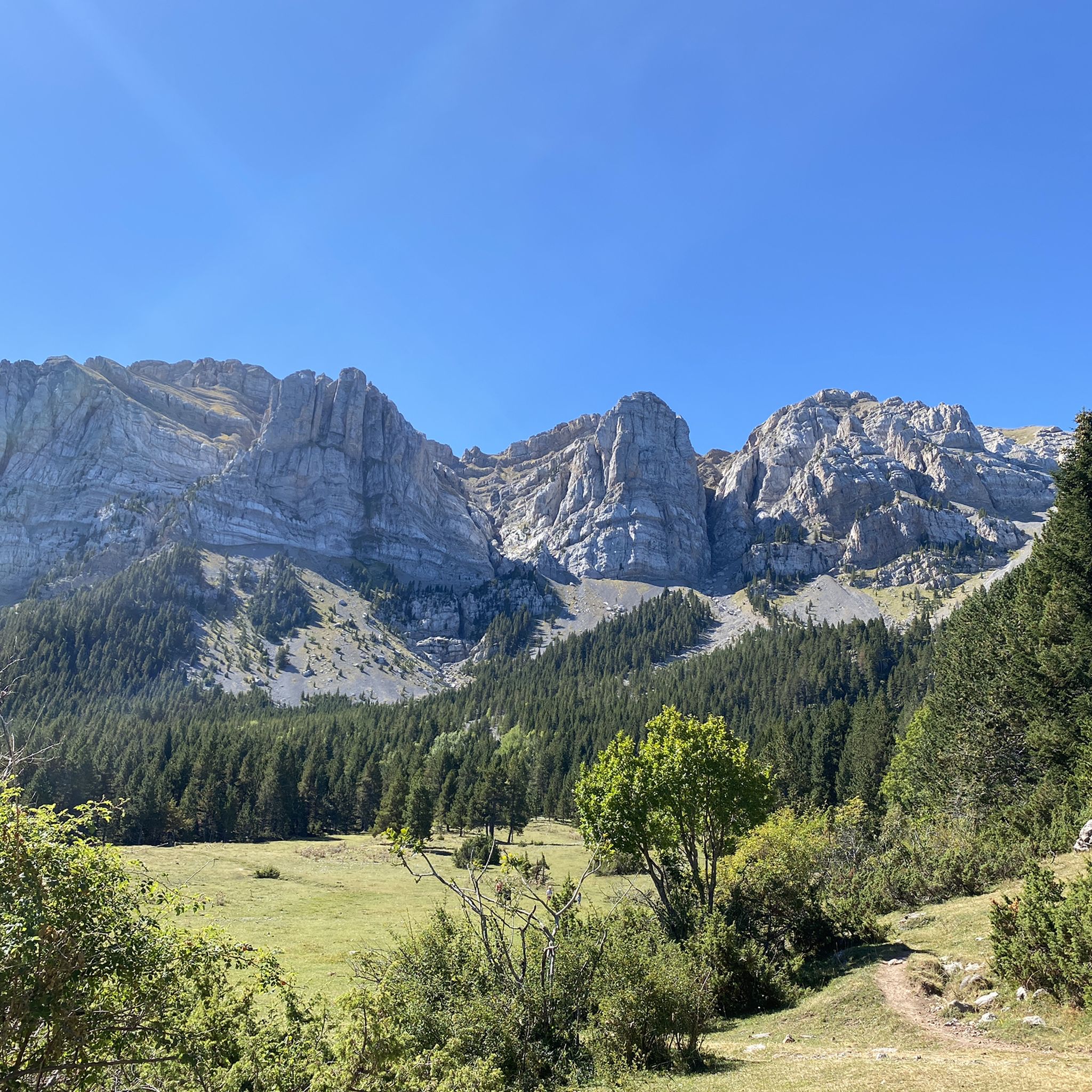
Hiking in Cadí-Moixeró
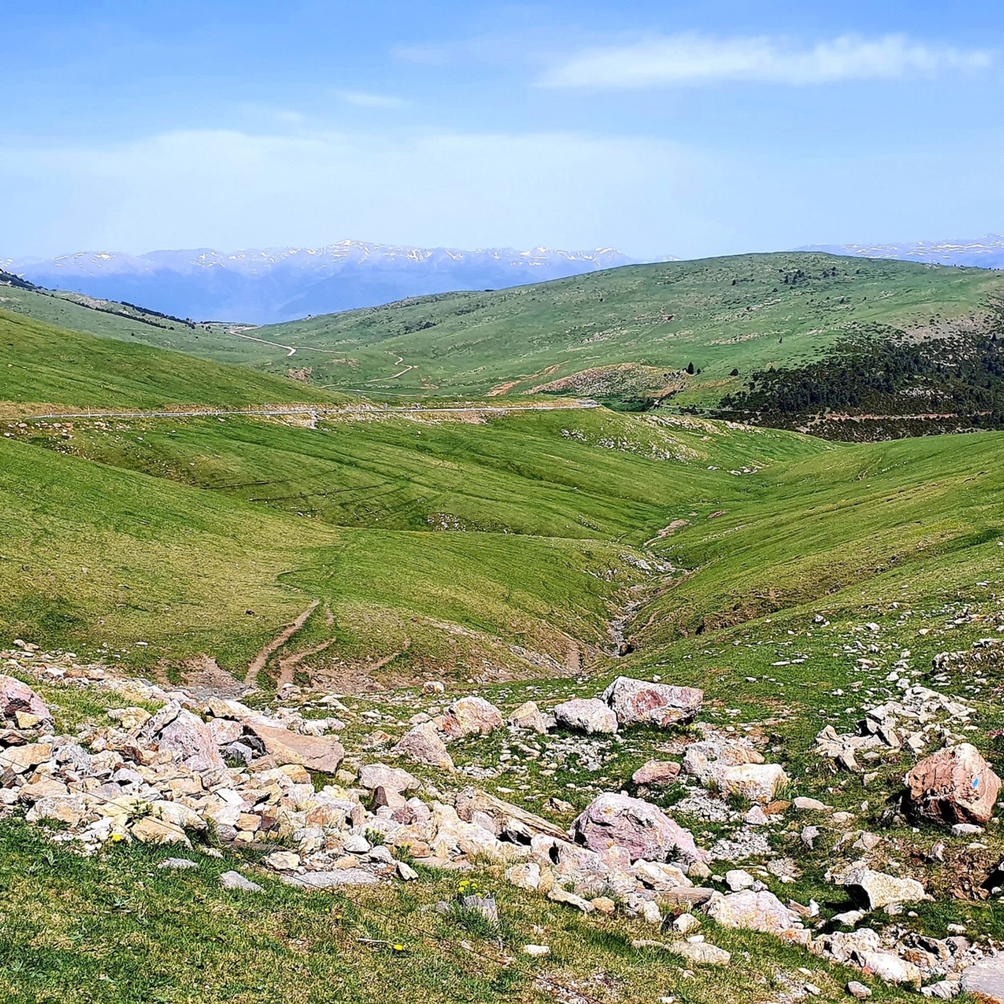
Road Cycling Routes in Cadí-Moixeró
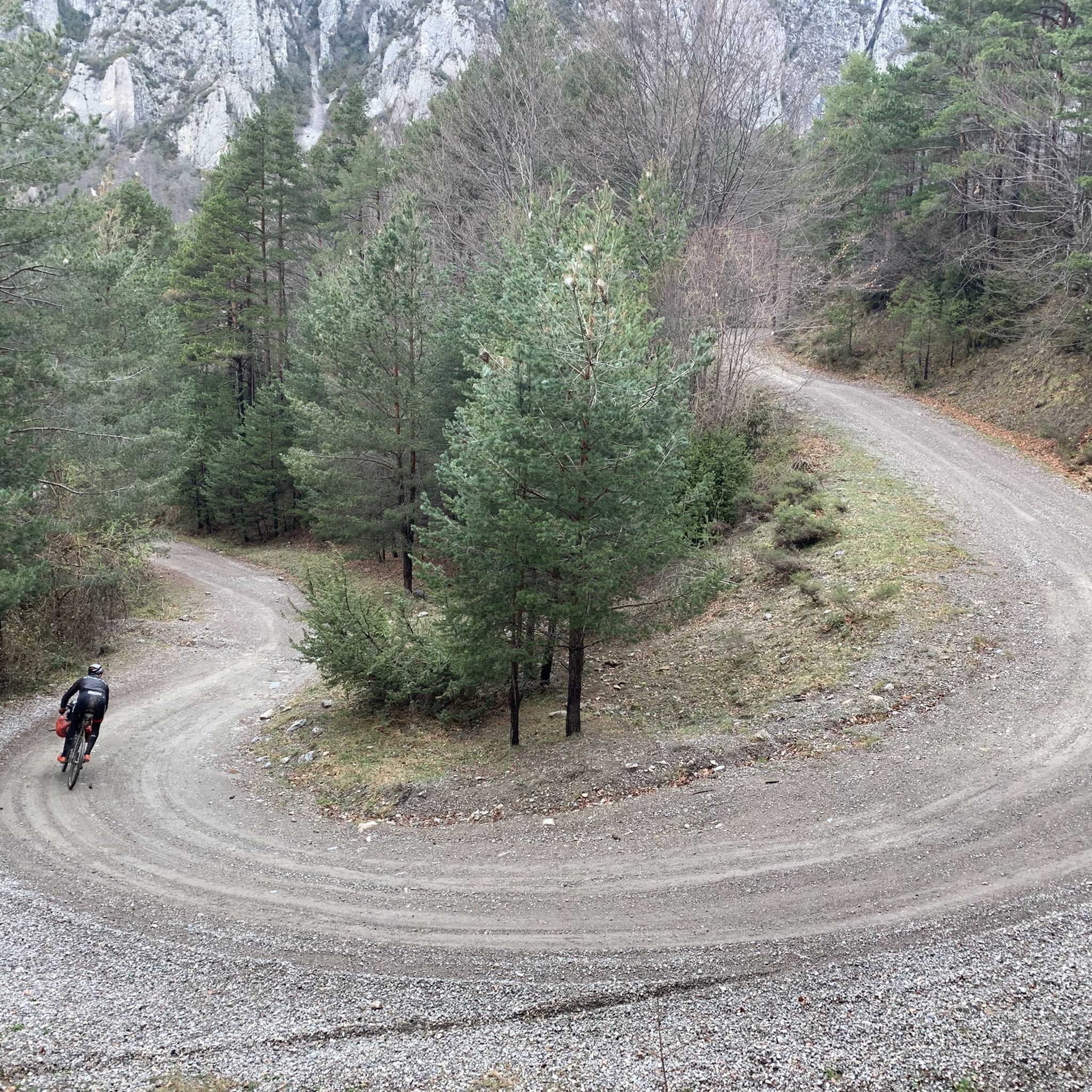
MTB Trails in Cadí-Moixeró
Other adventures in Cadí-Moixeró


Tips from the Community

Located at the foot of the majestic Pedraforca, it is one of the most emblematic refuges in the Pyrenees. Starting point for classic ascents to the summit and ideal place to enjoy the high mountain atmosphere. The building, surrounded by meadows and forests, offers imposing views and an impressive calm. By mountain bike, the final access from Saldes is demanding, with a steep slope and loose stone; it is best to tackle it with patience and good traction. Tip: if you get there in the afternoon, stay for a few minutes — the light over Pedraforca is pure magic.
0
0

Departure from Riu de Cerdanya. The climb to the Les Esposes refuge is steady, with gradients of around 8-9%. The route is fairly smooth for a mountain bike, although there are many rocks. The view from the top is superb, offering a view of the Cerdanya region on the Spanish side.
1
0
Easy to get here, choose your direction wisely...
1
0

A beautiful refuge at the foot of the north face of Pedradorca, it's worth the climb to discover it.
1
0

The Prat d'Aguiló refuge is one of the key points of the Cavalls de Vent route, in the heart of the Cadí mountain range. It has 42 places, which can be booked with breakfast, half board or full board. It also offers a bar service.
0
0

If you are passing through, do not hesitate to visit the 11th century castle and its famous Picasso Center, where you can see some of the works he created during the time he lived in this town.
0
0

It is a very well preserved mountain town, located in a unique enclave. If you cycle through on a long-distance route, there is a bar in the town's main square that is very pleasant, especially on hot days.
0
0
Frequently Asked Questions
How many running routes are available in Cadí-Moixeró?
Cadí-Moixeró offers a wide selection of running routes, with over 40 trails documented on komoot. These routes cater to various preferences, from challenging mountain runs to more gentle paths through diverse landscapes.
What kind of terrain can I expect on the running trails in Cadí-Moixeró?
The running trails in Cadí-Moixeró traverse a varied landscape, characterized by impressive limestone mountain ranges like the Cadí and Moixeró massifs. You'll encounter lush valleys, expansive meadows, and extensive forests of pine, fir, and ancient beech. Elevations range significantly, offering both high-mountain challenges and lower-altitude paths.
Are there any long-distance running routes in Cadí-Moixeró?
Yes, Cadí-Moixeró is home to an extensive network of marked trails, including sections of long-distance paths such as the GR-4, GR-7, and the GR-107 (Route of the Cathars). For a significant challenge, the Pendís Pass – Sant Jordi Refuge loop offers a 40.8 km route with substantial elevation gain.
What do other runners enjoy about the routes in Cadí-Moixeró?
The running routes in Cadí-Moixeró are highly rated by the komoot community, with an average score of 5.0 stars from numerous reviews. Runners frequently praise the breathtaking scenery, the variety of challenging terrains, and the well-maintained trails that provide an immersive natural experience.
Are there any circular running routes in Cadí-Moixeró?
Yes, several excellent circular routes are available. A popular option is the Refugio Vents del Cadí, Refugi Sant Jordi, Coll de la Boixassa – Circular Route, which is a difficult 9.6 km trail through mountainous terrain. Another notable circular route is the multi-day 'Cavalls del Vent' which connects several mountain huts.
What is the best time of year for running in Cadí-Moixeró?
The best time for running in Cadí-Moixeró is generally from late spring to early autumn (May to October) when the weather is milder and trails are clear of snow. During winter, higher altitude routes may require specialized gear and experience due to snow and ice conditions.
Can I find mountain huts or refuges along the running trails?
Absolutely. Cadí-Moixeró has numerous mountain huts and refuges that can serve as resting points or overnight stops on longer runs. Notable examples include the Lluís Estasen Refuge, Niu de l'Àliga Refuge, and Prat d'Aguiló Refuge. These are often integrated into popular routes like the 'Cavalls del Vent'.
Are there any routes that offer spectacular high-mountain views?
For breathtaking high-mountain views, consider the Prat d'Aguiló - Comabona Trail. This challenging 10.7 km path provides spectacular vistas from Comabona Summit, showcasing the dramatic landscapes of the park.
What are some notable natural features or landmarks I might see while running?
Runners in Cadí-Moixeró can enjoy a variety of natural spectacles. The iconic Pedraforca Massif provides a majestic backdrop, and you might encounter unique hydrological features like natural springs or the former glacial lake of Prat de Cadí. The Fonts del Llobregat, with its striking underground springs, is another natural highlight.
Are there any running routes that pass through dense forests?
Yes, many routes wind through extensive forests. The Lluís Estasen Refuge – Gresolet Refuge loop is a 21.3 km trail that leads through dense forests and valleys, offering a shaded and immersive running experience.
Is public transport available to access the running trails in Cadí-Moixeró?
Access to the Cadí-Moixeró Natural Park by public transport can be limited due to its mountainous and protected nature. It is advisable to check local bus schedules or regional transport options to specific villages or trailheads before planning your run, as direct access to all trail starts may not be available.
Are there any easy running routes suitable for beginners in Cadí-Moixeró?
While Cadí-Moixeró is known for its challenging terrain, the extensive trail network does include more gentle paths. However, the majority of routes listed on komoot for this region are rated as difficult. It's recommended to carefully review the elevation gain and distance of any chosen route to ensure it matches your fitness level.
Most popular routes in Cadí-Moixeró
Most popular attractions in Cadí-Moixeró

Get inspired with the komoot mobile app


Explore more
Browse the best Running Trails & Routes in other regions.
