The best walks and hikes in Brañas De Xestoso
4.0
(15)
148
hikers
1
hike
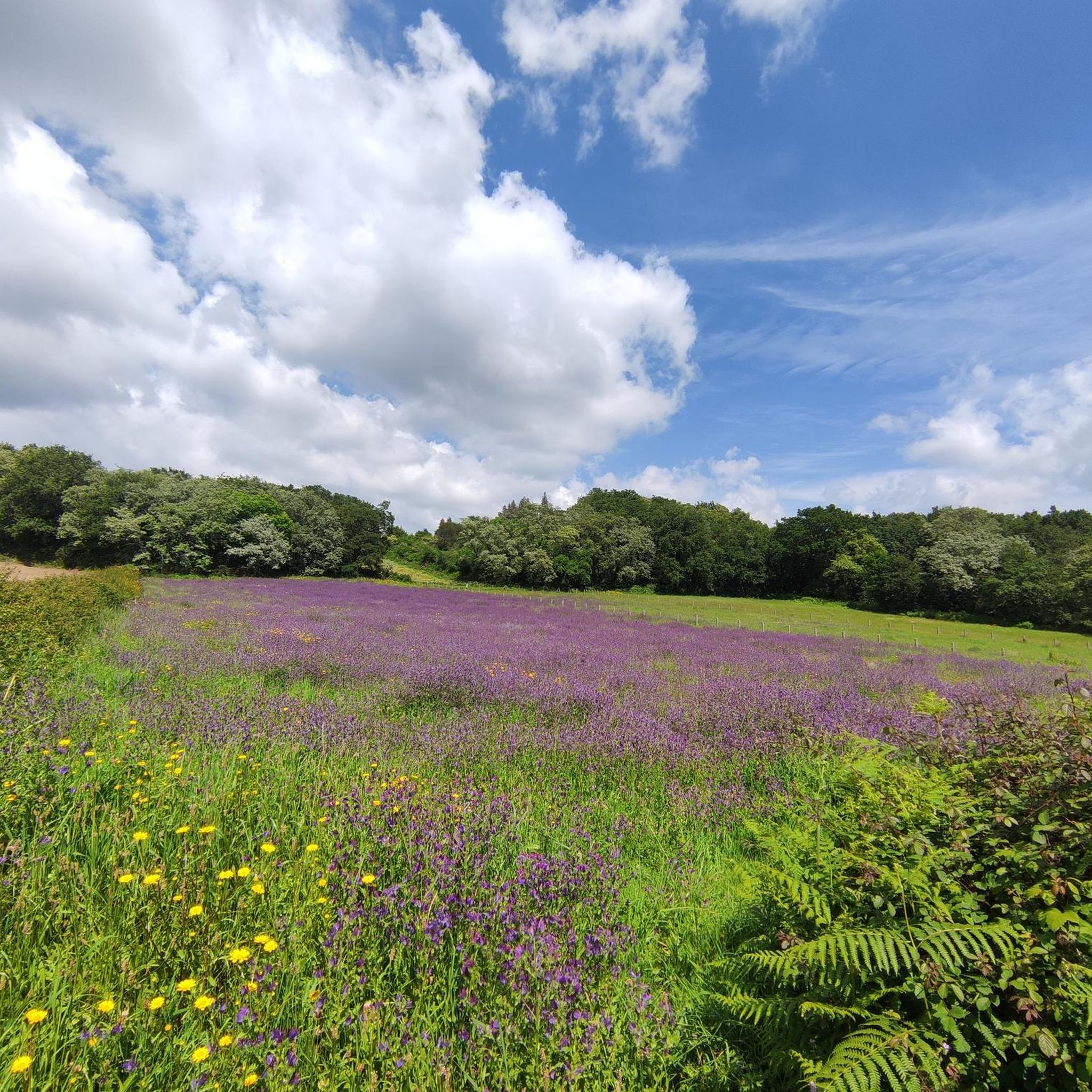
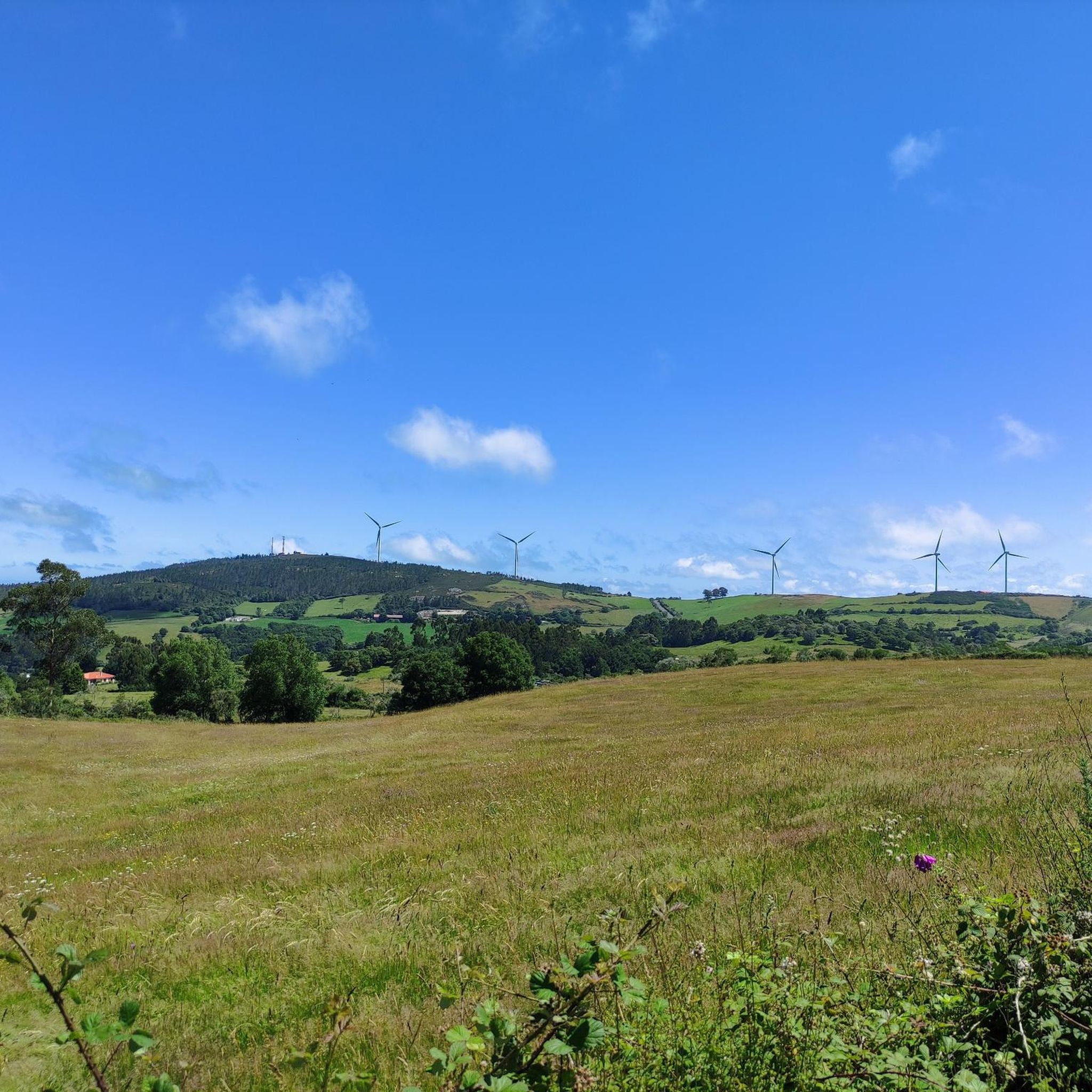
Hiking in Brañas De Xestoso traverses a distinctive continental wetland characterized by mountainous terrain, extensive peatlands, and diverse river valleys. The region, part of the Natura Network, features unique landscapes such as the Lagoa de Sacra de Olives and the Xestoso Bogs. Elevations in the nearby Serra do Candán exceed 1000 meters, offering varied terrain for hikers. The area's diverse ecosystems include humid heathlands, scattered oak forests, scrubland, and pastures.
Best hiking trails in Brañas De Xestoso
- The most popular hiking route is Castro de Orazo loop from A Pena do Castrelo, an easy 4.2 miles (6.8 km) trail that takes 1 hour 53 minutes to complete, offering a gentle exploration of the local landscape.
- Another top favourite among local hikers is Ponte Ulla and Río Ulla View – Gundián Viewpoint loop from A Raíña, a difficult 12.7 miles (20.4 km) path. This route features significant elevation changes and panoramic views of the Ulla River.
- Local hikers also love the San Xoán da Cova Trail, an 11.6 miles (18.7 km) trail leading through varied landscapes, often completed in about 5 hours 4 minutes.
- Hiking in Brañas De Xestoso is defined by continental wetlands, mountainous terrain, and diverse river valleys. The network offers options for different ability levels, from easy loops to more challenging routes with significant elevation gain.
- The routes in Brañas De Xestoso are highly rated by the komoot community with an average score of 4.4 stars from over 10 reviews. More than 100 hikers have used komoot to explore Brañas De Xestoso's varied terrain.
Last updated: June 28, 2026
4
hikers
18.7km
05:04
260m
260m
Hike the difficult 11.6-mile San Xoán da Cova Trail along the Ulla River, featuring the Gundián viewpoint and historic Reboredo mill.
3.0
(1)
2
hikers
22.4km
06:35
630m
630m
Hike the difficult 13.9-mile Rivadulla – Ulla River trail through Monte Sacro, featuring 2083 feet of elevation gain and river views.

Sign up for free
4.7
(7)
83
hikers
3.97km
01:16
130m
130m
Moderate hike. Great for any fitness level. Mostly accessible paths. Sure-footedness required.
3
hikers
14.2km
03:52
210m
210m
Moderate hike. Good fitness required. Easily-accessible paths. Suitable for all skill levels.
4.3
(7)
56
hikers
Moderate hike. Good fitness required. Mostly accessible paths. Sure-footedness required.
Our route recommendations are based on thousands of hikes, rides, and runs completed by other people on komoot.
Start today with a free account
Your next adventure awaits.
Login or Signup
Popular around Brañas De Xestoso
Tips from the Community

The Toxa Waterfall is one of the tallest and most emblematic waterfalls in Galicia. It is located in Pazos, within the municipality of Silleda, in the heart of the Deza region. It has a free fall of over 30 meters, considered one of the tallest in Galicia and of great scenic beauty. The water cascades down a granite wall surrounded by native forest, creating a breathtaking visual environment.
3
0
The Monastery of San Lorenzo de Carboeiro is one of the great landmarks of Galician Romanesque architecture, situated in a spectacular location beside the Deza River. It was an influential Benedictine monastery whose splendor flourished between the 11th and 13th centuries, and which today stands out as a restored jewel open to the public. Founded around the year 939, after Counts Gonzalo Betótez and Teresa Ériz acquired the former hermitage of a hermit named Egica. The consecration was attended by the Bishop of Lugo and Saint Rosendo.
5
0
The Gundián Viewpoint is a spectacular location in Galicia, Spain, known for its stunning views of the Gundián Viaduct and the Eixo Viaduct. Built in 1958, the Gundián Viaduct rises above two outcrops of quartzite rocks, creating a landscape of great beauty. In addition, from the viewpoint you can see the Cova Pass, a narrowing of the Ulla River between two quartz walls with a vertical drop of about 50 meters over a 14-meter route.
16
0

Beautiful path and bridge over the Deza river.
5
0
Viewpoint to the beautiful spectacle of water, light and sound, formed by a waterfall of the Toxa river between the parishes of Pazos and Martixe, considered the highest in Galicia in free fall.
6
0

From this hill you would have a spectacular view of the Gundián Bridge in the Paso da Cova. The Gundián Bridge from 1958 and the modern and monumental high-speed train viaduct. The bridge is more than 100 m high and crosses the impressive Ulla valley
2
0
Rising 600m, Pico Sacro south of Santiago de Compostela has been guiding travelers since the beginning of time. The peak offers spectacular views of the surrounding valleys
1
0
Frequently Asked Questions
What kind of terrain can I expect when hiking in Brañas De Xestoso?
Brañas De Xestoso offers a diverse landscape, primarily characterized by continental wetlands, extensive peatlands, and humid heathlands. You'll also find scattered oak forests and broad bushy areas. The region is part of a mountainous branch, with elevations in the nearby Serra do Candán exceeding 1000 meters, providing varied terrain from wet meadows to more challenging ascents.
Are there any easy hiking trails suitable for beginners or a relaxed walk?
Yes, there are options for easier walks. For instance, the Castro de Orazo loop from A Pena do Castrelo is an easy 6.8 km trail that takes less than two hours to complete, offering a gentle exploration of the local landscape.
Can I find trails with waterfalls in Brañas De Xestoso?
Yes, the region features beautiful natural attractions like waterfalls. You can explore the Fervenza do Toxa Waterfall loop from Pazos, a moderate 3.9 km hike that leads you to this impressive natural feature.
What are some longer or more challenging routes in the area?
For those seeking a more demanding experience, Brañas De Xestoso has several challenging routes. The Ponte Ulla and Río Ulla View – Gundián Viewpoint loop from A Raíña is a difficult 20.4 km path featuring significant elevation changes and panoramic views of the Ulla River. Another challenging option is the Rivadulla – Ulla River trail through Monte Sacro, which spans over 22 km.
Are there any circular hiking routes available?
Yes, several routes in Brañas De Xestoso are designed as loops, allowing you to start and end at the same point. Examples include the easy Castro de Orazo loop from A Pena do Castrelo and the more challenging Ponte Ulla and Río Ulla View – Gundián Viewpoint loop from A Raíña.
What kind of wildlife can I expect to see while hiking?
Brañas De Xestoso is known for its rich biodiversity. It's an important ornithological area, hosting protected bird species like the Little Bustard, as well as eagles and falcons. You might also spot various amphibians, reptiles, and mammals such as foxes and wolves, especially in the extensive scrubland and grasslands.
What do other hikers say about the trails in Brañas De Xestoso?
The hiking routes in Brañas De Xestoso are highly regarded by the komoot community, with an average score of 4.4 stars from over 10 reviews. Hikers often praise the varied terrain, from wetlands to river valleys, and the opportunities for exploring unique natural landscapes.
Is Brañas De Xestoso suitable for birdwatching?
Absolutely. Brañas De Xestoso is recognized for its ornithological significance. The diverse habitats, including peatlands, heathlands, and wet meadows, provide excellent opportunities for birdwatching, with species like the Little Bustard, eagles, and falcons present in the area.
What are the main natural features to look out for?
A central feature is the Lagoa de Sacra de Olives (Olives Sacred Lagoon) and the surrounding Xestoso Bogs, which form a unique mountainous wetland environment. You'll also encounter broad bushy areas, wet meadows, and smaller areas of oak forests. The region's diverse vegetation and varied terrain are key highlights.
Are there any trails that follow river valleys?
Yes, the region features trails that explore its riverine landscapes. The Rivadulla – trail of the two bridges of Rio Ulla is an 18.7 km trail that leads through the scenic Ulla River valley, offering beautiful views and a chance to experience the area's waterways.
What is the best time of year to hike in Brañas De Xestoso?
The best time to visit depends on your preferences. While the Lagoa de Sacra de Olives has a seasonal character, drying up in summer, the diverse landscapes offer beauty year-round. Spring and autumn generally provide pleasant temperatures and vibrant scenery, while summer can be good for drier trails, though some wetlands may be less prominent.

Get inspired with the komoot mobile app


Explore more
Browse the best Hikes in other regions.
