The best running trails in Sierra De Camarolos
4.0
(13)
862
runners
109
runs
Jogging routes in Sierra de Camarolos traverse a mountainous massif characterized by limestone formations and karstic topography, offering diverse landscapes for runners. The region features prominent peaks like Cruz de Camarolos and Chamizo, providing extensive panoramic views across the province of Málaga. Runners will encounter varied vegetation, including pines, oaks, and rich scrubland, alongside significant water features such as the Hundred-Spout Fountain. This terrain provides a mix of challenging ascents and gentler paths suitable for different jogging preferences.
Best jogging…
Last updated: October 17, 2026
10
runners
5.97km
00:44
70m
70m
Moderate run. Good fitness required. Mostly paved surfaces. Suitable for all skill levels.
3
runners
13.0km
01:45
660m
660m
This difficult 8.1-mile (13.0 km) route in Sierra de San Jorge offers rugged terrain, karstic landscapes, and panoramic views.

35
runners
29.8km
05:01
1,960m
1,960m
Hard run. Very good fitness required. Sure-footedness, sturdy shoes and alpine experience required.
2
runners
15.1km
02:08
710m
710m
Hard run. Very good fitness required. Sure-footedness, sturdy shoes and alpine experience required.
2
runners
15.2km
01:59
560m
560m
Hard run. Very good fitness required. Sure-footedness, sturdy shoes and alpine experience required.
Get access to more routes and recommendations from other explorers.
Already have an account?
Our route recommendations are based on thousands of hikes, rides, and runs completed by other people on komoot.
Start today with a free account
Your next adventure awaits.
Popular around Sierra De Camarolos
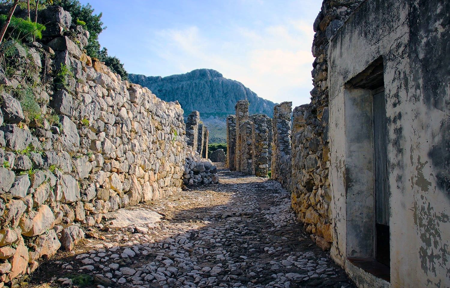
Andalusia without limits – Tarifa to La Puebla de Don Fabrique on the GR 7
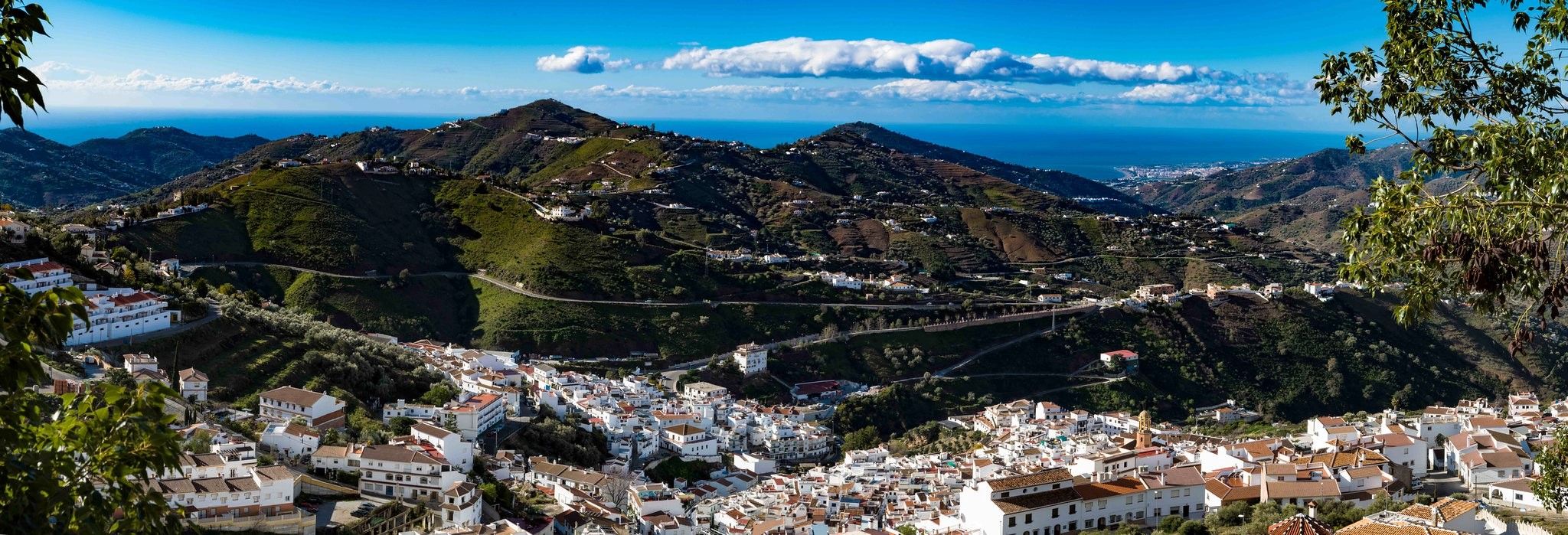
Hike between sea and mountains — Gran Senda de Málaga (GR 249)
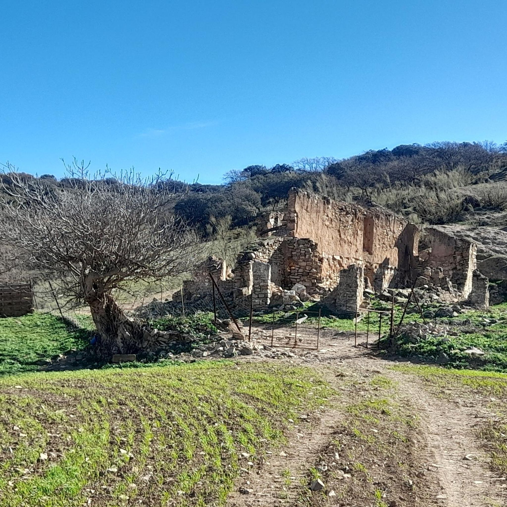
Road Cycling Routes in Sierra De Camarolos
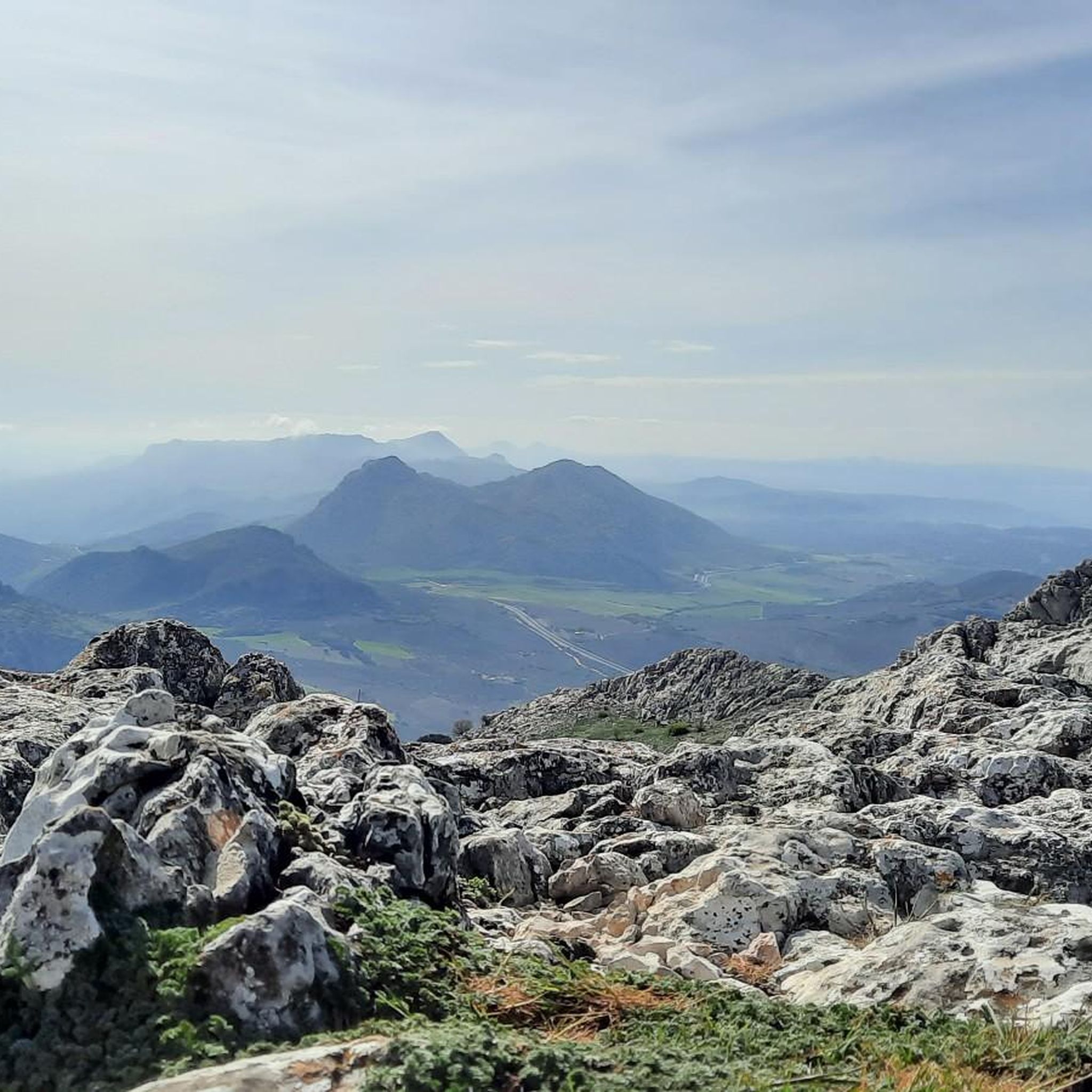
Hiking in Sierra De Camarolos
MTB Trails in Sierra De Camarolos
Cycling in Sierra De Camarolos

Gravel biking in Sierra De Camarolos

Tips from the Community

I was there mid november and the fountain was empty...
0
1

A colorful route with many beautiful areas. The 101 channels are truly breathtaking with so much water. The Rosario River is full of beauty with those spectacular waterfalls.
1
1

The lagoon is located in a large sinkhole, a karstic depression that acts as a rainwater collector. The lagoon can be reached via the Sierra de San Jorge Trail PR-A 353, which starts from the Fuente de los Cien Caños.
5
0
The Fuente de los Cien Caños is an impressive natural monument located in Villanueva del Trabuco, on the limestone slope of the Sierra de San Jorge. The fountain is known for being the source of the Guadalhorce River, the longest and most voluminous river in the province of Malaga.
5
0


Located on the plateau of the homonymous mountain range, the lagoon is a beautiful place to take a break and enjoy this beautiful landscape. Outside of the rainy season you may find it quite dry.
1
1
A natural water spring is the origin of this fantastic fountain that has 100 taps through which the water comes out, hence its name. It is a very popular place in the area and is located in a picturesque landscape.
1
1

This gigantic fountain channels the water that flows from the San Jorge mountain range, constituting the most important contribution of the Guadalhorce river in its initial section. Despite its name, the fountain actually has 101 spouts!
2
0
Frequently Asked Questions
How many running routes are available in Sierra de Camarolos?
Sierra de Camarolos offers a wide selection of over 80 running routes, catering to various preferences and fitness levels. You'll find everything from gentle paths to challenging ascents across its diverse landscapes.
What are the typical difficulty levels for jogging trails in Sierra de Camarolos?
The running trails in Sierra de Camarolos vary in difficulty. There are a few easy routes, but the majority are moderate (around 44 routes) or difficult (around 37 routes), offering significant elevation changes and more challenging terrain for experienced runners.
What kind of scenery can I expect while jogging in Sierra de Camarolos?
Jogging in Sierra de Camarolos means experiencing stunning natural beauty. You'll encounter unique limestone formations and karstic topography, picturesque mountain peaks like Cruz de Camarolos and Chamizo offering extensive panoramic views, and varied vegetation including pines, oaks, and rich scrubland. Water features like the Hundred-Spout Fountain also add to the scenic charm.
Are there any notable natural landmarks or viewpoints along the running routes?
Yes, Sierra de Camarolos is rich in natural landmarks and viewpoints. You can visit the Hundred-Spout Fountain, a significant natural monument, or enjoy breathtaking vistas from the Alto del Hondonero Viewpoint. The region's karstic landscapes, such as the Tajo de la Madera and Alto de Hondonero, also offer unique geological sights.
Can I expect to see any wildlife during my run in Sierra de Camarolos?
Absolutely. Sierra de Camarolos is known for its high faunal diversity. Keep an eye out for various bat species, otters near the Guadalhorce river headwaters, foxes, wild boars, and even Spanish ibex. Birdwatchers might spot golden eagles, Bonelli's eagles, peregrine falcons, and griffon vultures soaring overhead.
Are there any circular running routes in Sierra de Camarolos?
Yes, there are several excellent circular running routes. A popular option is the Running loop from Cuesta del Romeral, which is 3.7 miles (6.0 km) long. Another challenging circular route is the Peñón de los Becerros loop from Villanueva del Rosario, covering 18.2 miles (29.3 km).
What do other runners enjoy the most about jogging in Sierra de Camarolos?
The komoot community highly rates the running experience in Sierra de Camarolos, with an average score of 3.8 stars from over 10 reviews. Runners often praise the diverse terrain, the stunning panoramic mountain views, and the opportunity to explore unique limestone formations. The variety of routes, from accessible paths to challenging ascents, is also frequently highlighted.
Are there any family-friendly running trails in Sierra de Camarolos?
While many routes are moderate to difficult, Sierra de Camarolos does offer some accessible paths suitable for families looking for a gentler jog. These trails often feature easy hikes of up to two hours and 1,000 feet of elevation gain, perfect for a relaxed run amidst nature. Always check the route details for specific difficulty and length.
Is public transport available to reach the jogging routes in Sierra de Camarolos?
Public transport options directly to specific trailheads within the Sierra de Camarolos can be limited due to its mountainous and rural nature. It's often recommended to use a car to access the starting points of many routes, especially those deeper within the sierra. Check local bus schedules for nearby towns like Villanueva del Rosario, and plan accordingly for the final leg of your journey.
What is the best time of year for running in Sierra de Camarolos?
The best time for running in Sierra de Camarolos is generally during spring and autumn when temperatures are milder and the vegetation is lush. Summers can be very hot, making early morning or late afternoon runs preferable. Winters are cooler, but trails are usually accessible, though higher elevations might experience colder conditions.
Are there any long-distance running options in Sierra de Camarolos?
For those seeking longer distances, Sierra de Camarolos offers several challenging routes. The Impressive Gorge loop from Villanueva del Rosario is a substantial 18.5 miles (29.8 km) trail with significant elevation, often taking around 5 hours to complete. Another option is the Sierra de San Jorge Trail (PR-A 353), an 8.1 miles (13.0 km) difficult path with considerable elevation gain.
Most popular routes in Sierra De Camarolos
Most popular attractions in Sierra De Camarolos

Get inspired with the komoot mobile app


Explore more
Browse the best Running Trails & Routes in other regions.
