The best walks and hikes in Deeside And Lochnagar
4.6
(2336)
19,407
hikers
141
hikes
Hikes in Deeside and Lochnagar explore a landscape within the Cairngorms National Park defined by mountains, lochs, and remnants of ancient Caledonian forest. The region features more than 90 peaks, including the 1,156-meter Glas Maol, and numerous waterways such as the River Dee. The terrain varies from gentle riverside paths to challenging ascents up rugged peaks, offering a diverse hiking experience.
Best hiking trails in Deeside And Lochnagar
- The most popular hiking route is the Balmoral Cairns loop — Cairngorms National Park, a 7.0 mile (11.3 km) trail that takes around 3 hours 15 minutes to complete. This route passes by several historic cairns on the Balmoral Estate.
- Another top favourite among local hiking enthusiasts is the Mayar & Driesh loop from Glen Doll — Cairngorms National Park, a difficult 9.2 mile (14.8 km) path. The route involves a significant ascent of 766 meters to the summits of two Munros.
- Local hiking enthusiasts also love the Braemar Castle & Creag Choinnich loop from Braemar — Cairngorms National Park, a 4.3 mile (7.0 km) trail leading through woodland, often completed in about 2 hours 10 minutes.
- Hiking in Deeside And Lochnagar is defined by its high mountain plateaus, expansive glens, and paths around scenic lochs like Loch Muick. The network of more than 140 routes provides options for various fitness and experience levels.
- The routes in Deeside And Lochnagar are highly rated by the komoot community with an average score of 4.7 stars from over 1,200 reviews. More than 10,000 hikers have used komoot to explore Deeside And Lochnagar's varied terrain.
Last updated: July 7, 2026
4.8
(94)
1,088
hikers
14.8km
05:05
770m
770m
Hike the Mayar and Driesh via Corrie Fee, a difficult 9.2-mile (14.8 km) route in Cairngorms National Park with dramatic glacial scenery.
4.6
(134)
864
hikers
11.3km
03:17
290m
290m
Embark on the Balmoral Cairns loop, a moderate hike that guides you through the varied landscapes of Cairngorms National Park. You will discover lush pine forests and open moorlands, enjoying superb views over Deeside and Balmoral Castle. This route covers 7.0 miles (11.3 km) with an elevation gain of 960 feet (292 metres), typically taking around 3 hours and 17 minutes to complete.
To begin your journey, head to the car park at Crathie, where you will cross a suspension bridge over the River Dee. It is important to note that the full Balmoral Cairns walk may be closed or not recommended when the Royal Family is in residence, which usually occurs during August and September. Plan your visit outside these times to avoid any disappointment.
This trail offers a unique blend of natural beauty and royal history, making it a notable choice in the region. A highlight is the collection of historical stone cairns, including the striking Prince Albert's Cairn, also known as the Balmoral Pyramid, which provides panoramic vistas. You will also catch glimpses of Lochnagar as you traverse gentle hills and woodlands.

Sign up for free
4.7
(116)
712
hikers
10.0km
02:53
240m
240m
Embark on a moderate hike through the Balmoral Cairns loop from Crathie, a 6.2-mile (10.0 km) route that takes approximately 2 hours and 53 minutes to complete, with an elevation gain of 788 feet (240 metres). You will wander through atmospheric forests and across varied woodland terrain, enjoying both stone and grass paths. As you ascend, you'll be treated to superb views of Balmoral Castle, the Dee Valley, and the wider Royal Deeside, with distant glimpses of Lochnagar from certain points. The changing scenery, from lush pine forests to open moorlands, makes for a diverse and engaging walk. You will also encounter some uphill sections, but the paths are generally well-marked. You can expect a serene walking environment throughout your journey.
To begin your adventure, you will cross the River Dee via a suspension bridge from Crathie, which leads you towards Easter Balmoral. The route includes sections of metalled road near Easter Balmoral, ensuring accessible paths for most of the journey. You will also pass by Crathie Kirk, the Royal Family's place of worship when they are in residence at Balmoral, and the historic Balmoral Bridge. This trail is a fantastic choice if you are interested in exploring woodlands and learning about British monarchy.
This trail is most notable for its deep historical connection to the British Royal Family, featuring a series of stone cairns. Many of these were constructed by Queen Victoria to commemorate significant life events of various royal family members. The most prominent is the striking granite pyramid dedicated to Prince Albert, Queen Victoria's beloved husband, which offers panoramic views from its elevated position. Other cairns celebrate royal marriages and important occasions, creating a unique
4.6
(85)
515
hikers
15.7km
04:53
560m
560m
Embark on the Morrone & Carn na Drochaide loop from Braemar, a moderate hike spanning 9.8 miles (15.7 km) with an elevation gain of 1841 feet (561 metres). This rewarding route, typically completed in around 4 hours and 53 minutes, offers diverse terrain from good paths to heather-clad slopes. As you ascend, you'll pass through attractive birch woodlands and the Morrone Birkwood, a Site of Special Scientific Interest, before reaching the flat, gravel summit of Morrone with its radio mast. From here, you can enjoy magnificent 360-degree views of the southern Cairngorms, Grampian hills, and the picturesque village of Braemar, with prominent peaks like Ben Avon and Lochnagar visible on a clear day. The return leg often includes a pleasant riverside stretch, providing a gentle end to your journey.
This accessible loop starts directly from Braemar village, making it convenient for hikers with parking and public transport options available. While generally suitable for most skill levels, the trail does include some steep ascents, particularly to Morrone, so good fitness and sure-footedness are recommended. Be aware that after significant rainfall, some sections of the Morrone Walk can become quite muddy. If you plan to hike in winter, be prepared for potentially challenging conditions, as an ice axe and crampons may be necessary for safe passage.
The Morrone & Carn na Drochaide loop is a popular choice for those seeking a full day out in the hills without extreme difficulty, offering a high reward in terms of stunning scenery for a moderate effort. The trail's varied landscape and panoramic vistas make it a notable experience within the Cairngorms National Park. Keep an eye out for wildlife, especially stags, which are often spotted in the late afternoon, adding an extra highlight to your adventure in this beautiful Scottish landscape.
4.6
(107)
446
hikers
6.97km
02:11
270m
270m
Embark on the Lion's Face and Cromlins Trail, a moderate hiking route that guides you through varied landscapes in the Cairngorms. This 4.3-mile (7.0 km) journey involves an elevation gain of 883 feet (269 metres) and typically takes around 2 hours and 10 minutes to complete. As you hike, you will pass through picturesque pinewoods and open fields, eventually reaching the distinctive Lion's Face Crag, which offers superb panoramic views across the Dee Valley and Braemar.
When planning your visit, be aware that the trail features a mix of surfaces, including waymarked footpaths and rougher hill paths. These sections can become muddy, especially after rain, so sturdy footwear is highly recommended to navigate potentially wet conditions and exposed tree roots. Parking is generally available near the start point in Braemar, making access straightforward for most visitors.
This circular route is nestled within the expansive Cairngorms National Park, providing a true immersion in the Scottish Highlands. If you are looking to extend your adventure, you can easily connect to the Creag Chòinnich Summit from this trail, which promises even more sweeping vistas of the surrounding mountains and valleys.
Get access to more routes and recommendations from other explorers.
Sign up for free
Already have an account?
Our route recommendations are based on thousands of hikes, rides, and runs completed by other people on komoot.
Start today with a free account
Your next adventure awaits.
Login or Signup
Popular around Deeside And Lochnagar
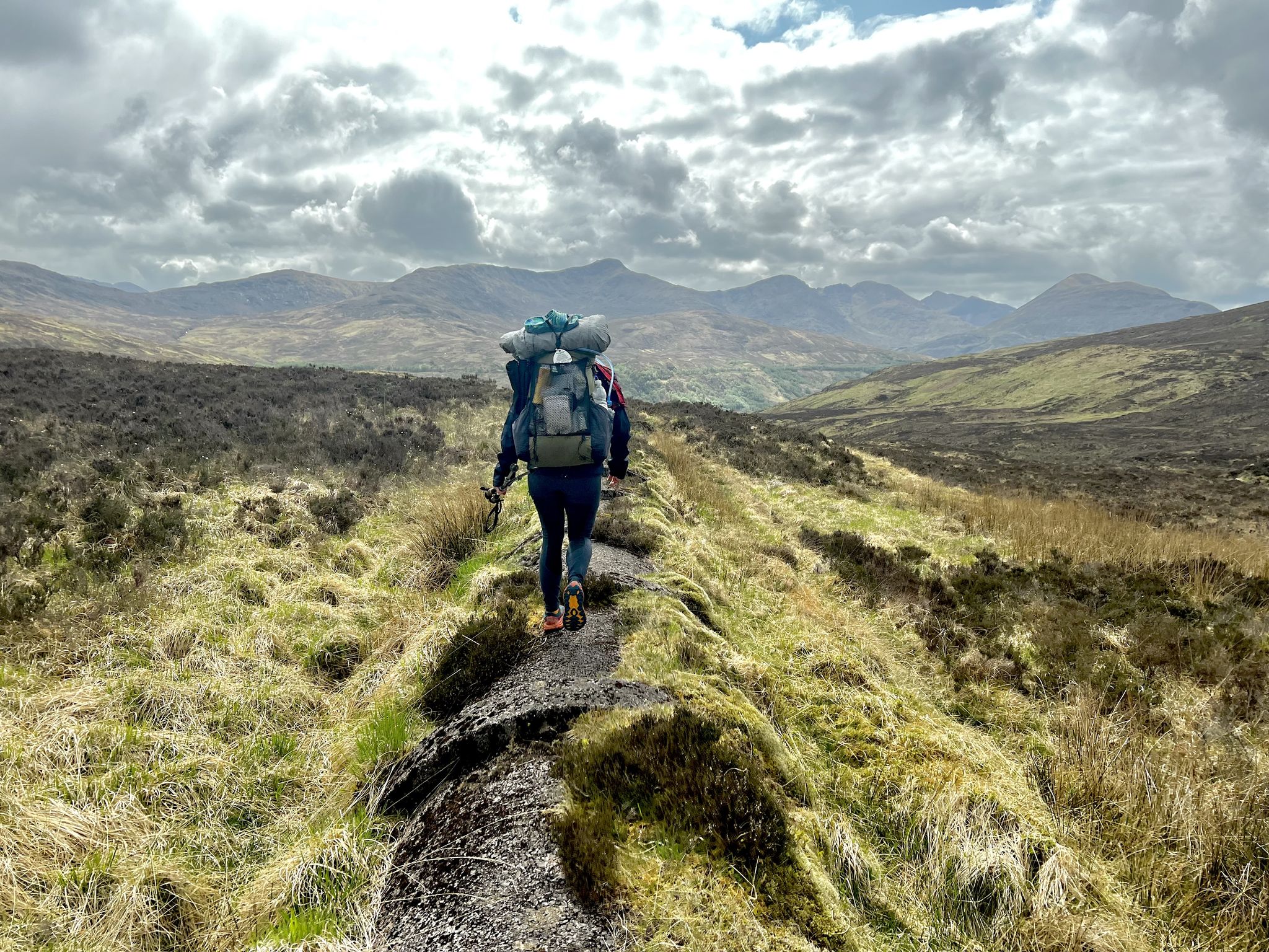
TGO Challenge 2023 – Coast to Coast: Oban to Montrose
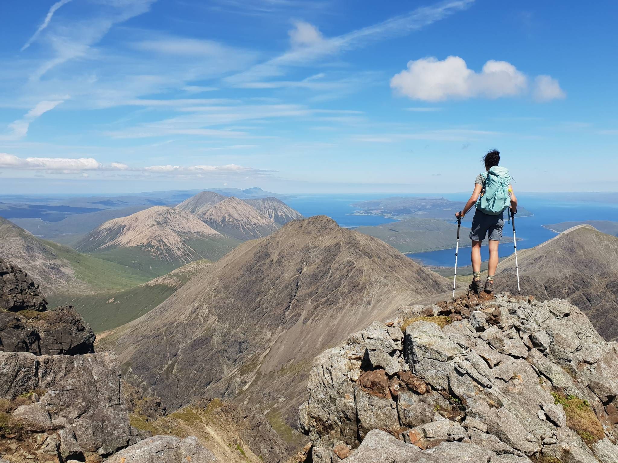
Hiking the 282 munro mountains of Scotland in 95 routes
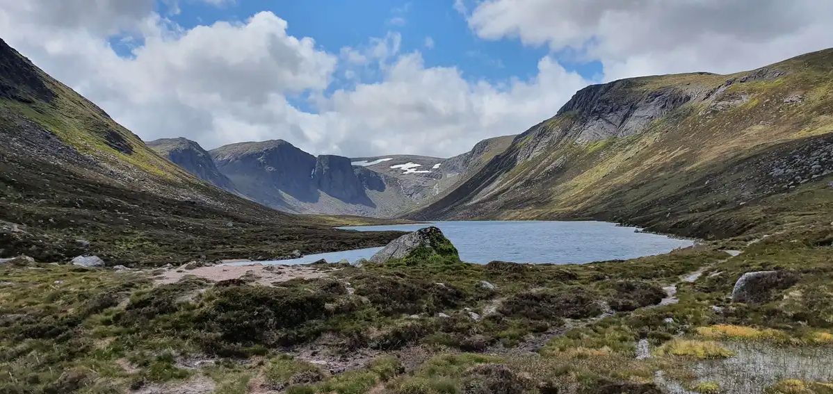
Explore vast mountain wilds — Cairngorms National Park
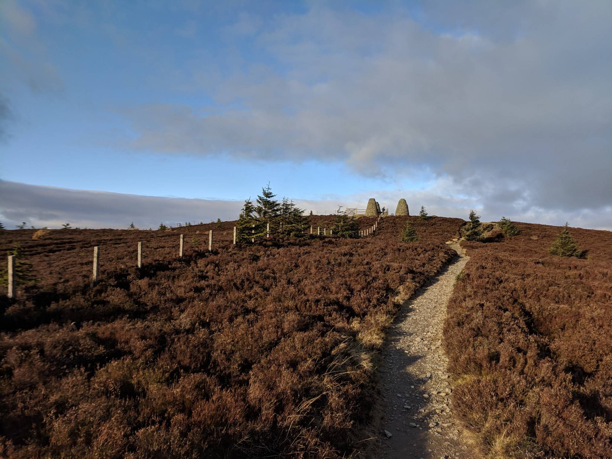
The Central Belter — Gravel trails of the coast and Cairngorms
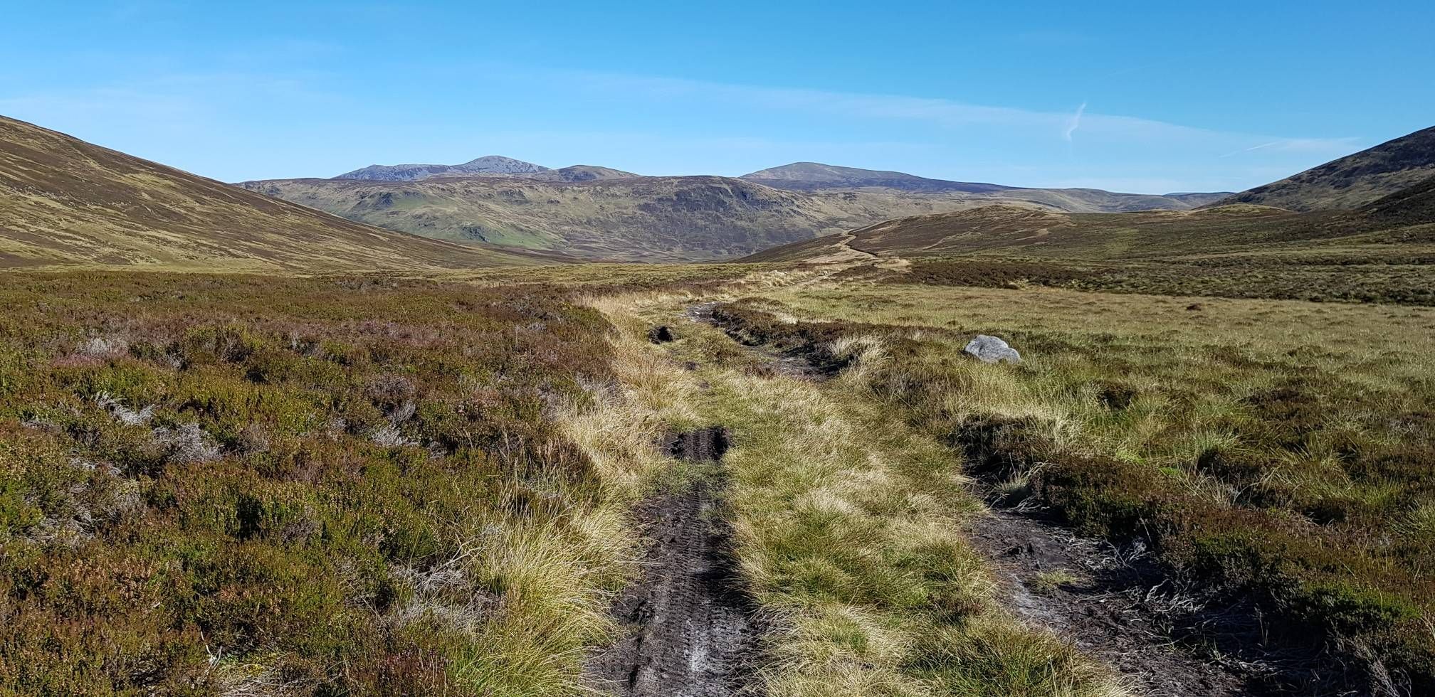
Cairngorms Loop — Burns, Lochs & Bothies of the Scottish Highlands
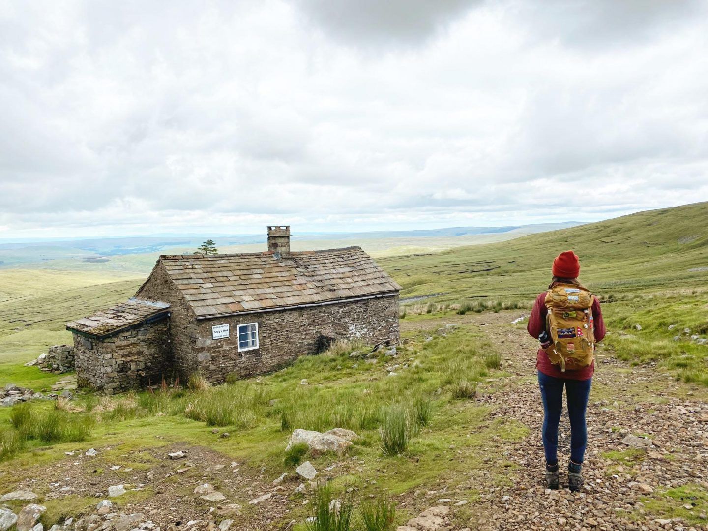
Bothies of Britain: hiking and biking adventures to unique mountain shelters
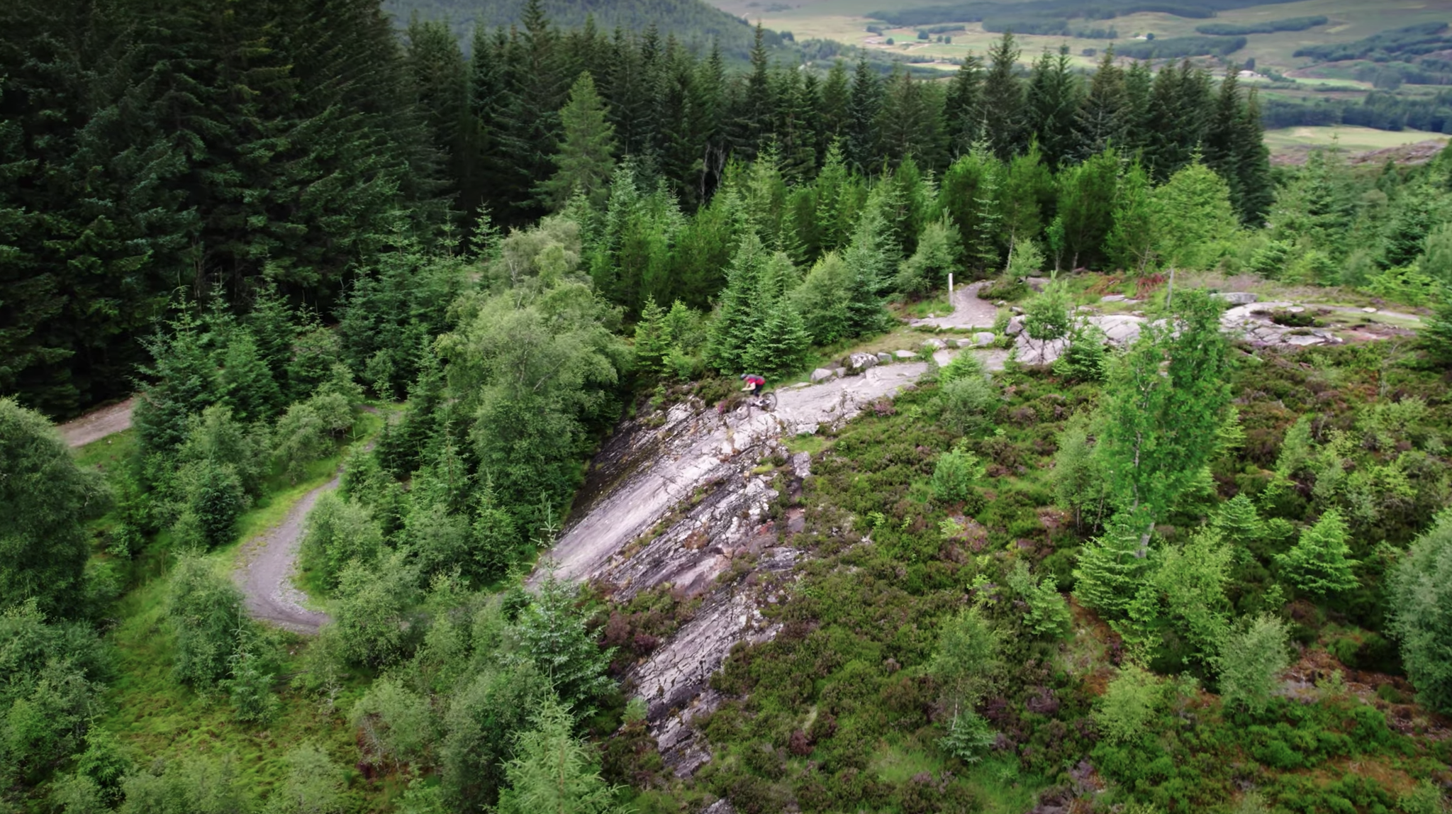
Scotty's Scotland Showcase — A sustainable tour of the country's best trails
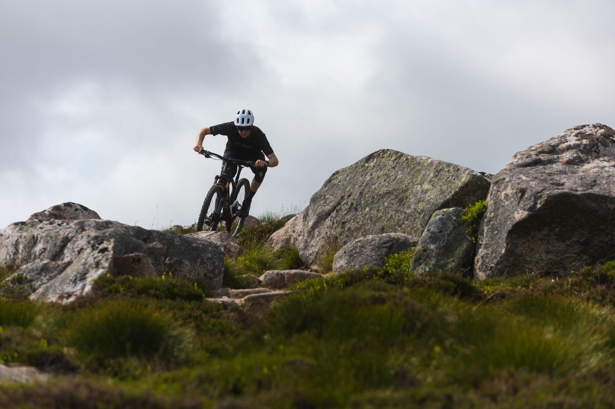
Aberdeenshire — Scotty's Scotland Showcase
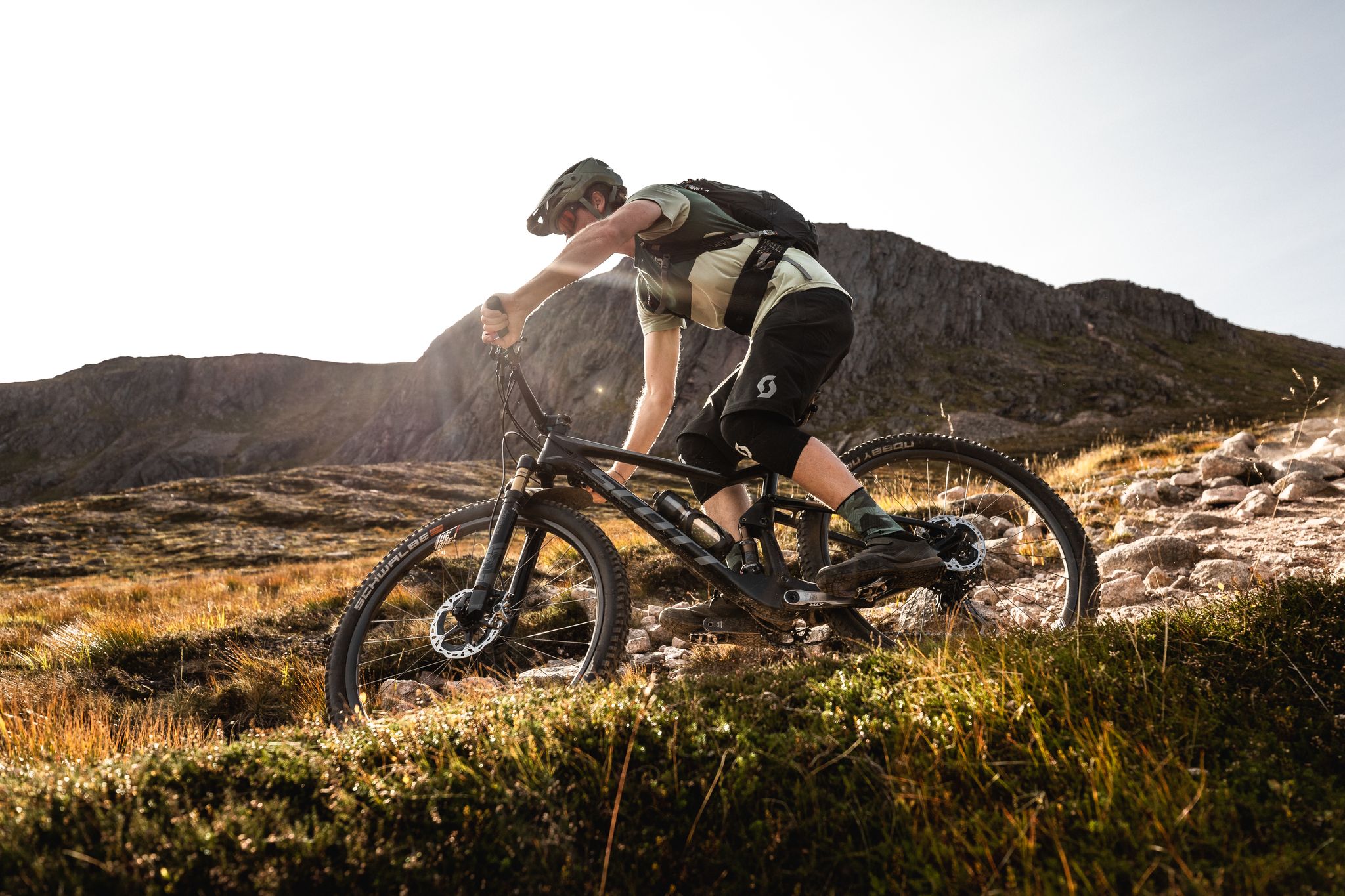
Cairngorms Gold — Discovering the national park
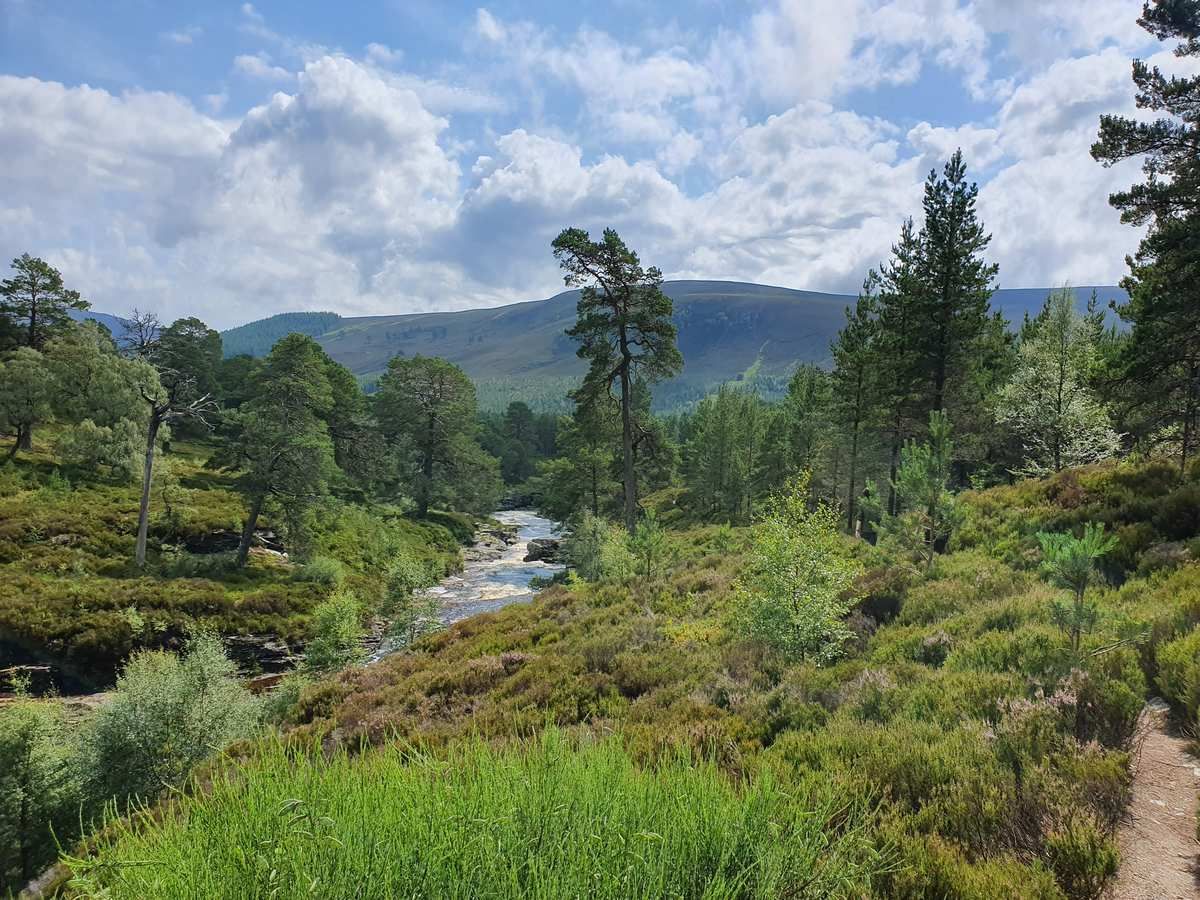
The Grampians in full glory — Bikepacking the Deeside Trail
Other adventures in Deeside And Lochnagar


Tips from the Community

Nice walk up from Braemar. Paths easy to follow. Path down via Landrover track. There are good views on most of the route. But when we did it it was pretty cloudy.
0
0

Rounded summit on the edge of plateau, with fine views. Much like it's twin.
0
0

The path up to this lookout is almost as beautiful as the view itself. At the top, you'll find not only the view of Invercauld House, but also an information board.
3
0

It is a very nice hike, but the mountain top is not really good looking because of the cell towers
0
0

Good shoes is required but you don't need specialist equipments, unless it's snowy/icy.
0
0
Can be slippy on cold days. Requires good walking boots.
0
0

There are a view of these around the trail. Really cool 👍🏻
0
0
Frequently Asked Questions
How many hiking trails are there in Deeside and Lochnagar?
You can explore over 140 different hiking routes in the Deeside and Lochnagar region. The trails range from easy riverside walks to difficult mountain ascents, with the majority being rated as moderate, offering plenty of choice for most fitness levels.
Are there any good family-friendly walks in the area?
Yes, the region has many trails suitable for families. For a walk that combines history and scenery, consider The Balmoral Cairns loop from Crathie. It's a moderate walk of about 10 km that takes you past historic cairns on the Balmoral Estate. Another great option is exploring the Muir of Dinnet National Nature Reserve, which has several well-marked, gentle trails.
Can I bring my dog on hikes in Deeside and Lochnagar?
Dogs are welcome on most trails, but it's important to keep them under control, especially near livestock and during bird nesting season (typically April-July). The area is part of the Cairngorms National Park, so always follow local guidance. The expansive trails around Glen Tanar and the Deeside Way offer excellent long walks for you and your dog.
What is a good full-day challenging hike in the Lochnagar area?
For a challenging day out that bags two Munros, the Mayar & Driesh loop from Glen Doll is an excellent choice. This difficult 14.8 km route involves a significant ascent of over 760 meters and offers fantastic views from the summits.
Are there any circular walks with good views?
The region is full of rewarding circular routes. For a moderately challenging loop with panoramic views over Braemar, the Morrone & Carn na Drochaide loop is a great option. This 15.7 km hike ascends over 560 meters, providing a real sense of the vast mountain landscape.
Where can I find walks with waterfalls?
The walk around Loch Muick features a notable detour to the picturesque waterfalls at Glas-allt Shiel, a lodge built by Queen Victoria. Additionally, the Linn of Dee and Linn of Quoich are dramatic gorges on the River Dee and River Quoich, both featuring powerful water flows and are accessible via short walks.
What do other hikers enjoy about Deeside and Lochnagar?
The area is highly regarded by the komoot community, with an average rating of 4.7 stars. Hikers frequently praise the stunning mountain scenery, the sense of royal history on the Balmoral Estate, and the variety of trails that range from gentle woodland paths to the challenging high plateaus of the Cairngorms.
How difficult is it to climb Lochnagar?
Climbing Lochnagar is considered a strenuous and challenging mountain walk, typically taking 6-7 hours. The popular circular route covers around 19 km with over 900 meters of ascent. The path includes a steep boulder field known as 'The Ladder' and requires a good level of fitness and navigation skills, especially as weather on the plateau can change rapidly.
What should I pack for a hike in this region?
For any mountain hike like Lochnagar, you should be prepared for all weather conditions, even in summer. Essential items include waterproof and windproof clothing, extra warm layers, sturdy hiking boots, a map and compass (and a GPS device as backup), and plenty of food and water. For lower-level walks, comfortable walking shoes and a waterproof jacket are still recommended.
Are there any long-distance paths in the area?
Yes, the Deeside Way is a popular long-distance route that runs for 66 km (41 miles) from Aberdeen to Ballater. It follows the line of the old Royal Deeside Railway and offers a relatively flat and accessible way to experience the changing scenery of the valley. You can walk or cycle sections of it as shorter day trips.
What are some interesting natural features to see besides the mountains?
The Muir of Dinnet National Nature Reserve is a must-visit. It's home to the Burn O'Vat, a giant pothole carved by glacial meltwater that you can walk inside. The reserve also contains ancient Caledonian pinewood remnants, similar to those found in the wider Caledonian Forest, offering a glimpse into Scotland's ancient landscape.
How can I get to the trailheads using public transport?
Buses, primarily operated by Stagecoach Bluebird, connect Aberdeen with towns along Deeside like Banchory, Aboyne, Ballater, and Braemar. From these towns, you can access many local trailheads on foot. However, reaching more remote trailheads, such as the car park for Lochnagar at Spittal of Glen Muick or Glen Doll, can be difficult without a car or taxi, so it's best to plan your transport in advance.
Most popular routes in Deeside And Lochnagar
Most popular attractions in Deeside And Lochnagar

Get inspired with the komoot mobile app


Explore more
Browse the best Hikes in other regions.
