The best running trails around Hallingskarvet
4.4
(7)
421
runners
21
runs
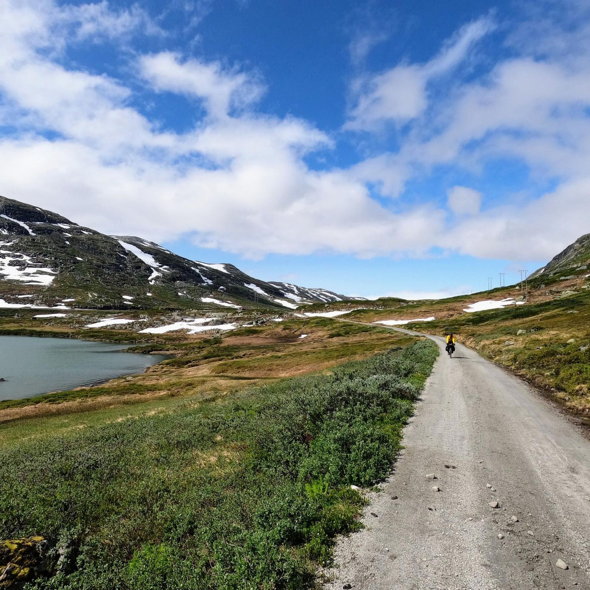
Jogging around Hallingskarvet offers diverse and dramatic landscapes, dominated by the Hallingskarvet mountain massif and its expansive plateau. The region features steep cliffs, glacially sculpted terrain with deep valleys, and high-mountain plateaus, providing varied environments for running. Lower elevations transition into heathlands and alpine meadows, while the upper reaches are often barren. This unique geology creates a challenging yet rewarding setting for runners.
Best jogging routes around Hallingskarvet
- The most popular jogging route is Finsehytta – View of Finse and Blåisen loop from Finse, a 7.3 miles (11.8 km) trail that takes 1 hour 50 minutes to complete. This difficult route offers expansive views of Finse and the Blåisen glacier.
- Another top favourite among local runners is Finse – Train Station – View of Finsevatnet loop from Finse, a difficult 3.3 miles (5.3 km) path. This route provides scenic views of Finsevatnet lake, starting conveniently from the Finse Train Station.
- Local runners also love the Ustetind loop from Ustaoset, a 8.9 miles (14.3 km) trail leading through high-mountain terrain, often completed in about 2 hours 9 minutes.
- Jogging around Hallingskarvet is defined by high-mountain plateaus, dramatic cliffs, and deep valleys. The network offers options for different ability levels, from moderate runs to challenging alpine experiences.
- The routes in Hallingskarvet are highly rated by the komoot community with an average score of 4.6 stars from 8 reviews. More than 400 runners have used komoot to explore Hallingskarvet's varied terrain.
Last updated: June 29, 2026
4
runners
11.7km
01:50
330m
330m
Hard run. Very good fitness required. Sure-footedness, sturdy shoes and alpine experience required.
2
runners
5.34km
00:54
240m
240m
Hard run. Good fitness required. Sure-footedness, sturdy shoes and alpine experience required.

Sign up for free
8
runners
14.2km
02:08
490m
490m
Hard run. Very good fitness required. Sure-footedness, sturdy shoes and alpine experience required.
5
runners
9.07km
01:05
220m
220m
Moderate run. Good fitness required. Mostly paved surfaces. Suitable for all skill levels.
4.8
(4)
244
runners
11.6km
01:13
80m
80m
Moderate run. Good fitness required. Mostly paved surfaces. Suitable for all skill levels.
Get access to more routes and recommendations from other explorers.
Sign up for free
Already have an account?
Our route recommendations are based on thousands of hikes, rides, and runs completed by other people on komoot.
Start today with a free account
Your next adventure awaits.
Login or Signup
Tips from the Community

Open and passable on 12.8.25
0
0

The natural surroundings of Finse are exceptionally beautiful, making it a great starting point for various one-day and multi-day tours. The connection to the train line from Oslo to Bergen also makes travel to and from the area very convenient.
0
0
The Norwegian Trekking Association's cabin is located on the shore of Lake Finsevatnet and is highly recommended for both one- and multi-night stays. The cabin is an excellent starting point for various one-day and multi-day tours. The small town of Finse is located on the railway line from Oslo to Bergen, making arrival and departure relatively straightforward.
0
0
Finse Station is located on the railway line connecting Oslo and Bergen. Finse is the highest station in Scandinavia.
0
0

Train station in Geilo. The Bergen / Oslo train runs here. Stops en route: Sandvika, Asker, Drammen, Hokksund, Vikersund, Hønefoss, Nesbyen, Gol, Ål, Ustaoset, Haugastøl, Finse, Hallingskeid, Myrdal (transfer option to the Flåm Railway), Upsete, Mjølfjell and Voss.
0
0

Still closed in mid-June 2025 and with red warnings
1
0

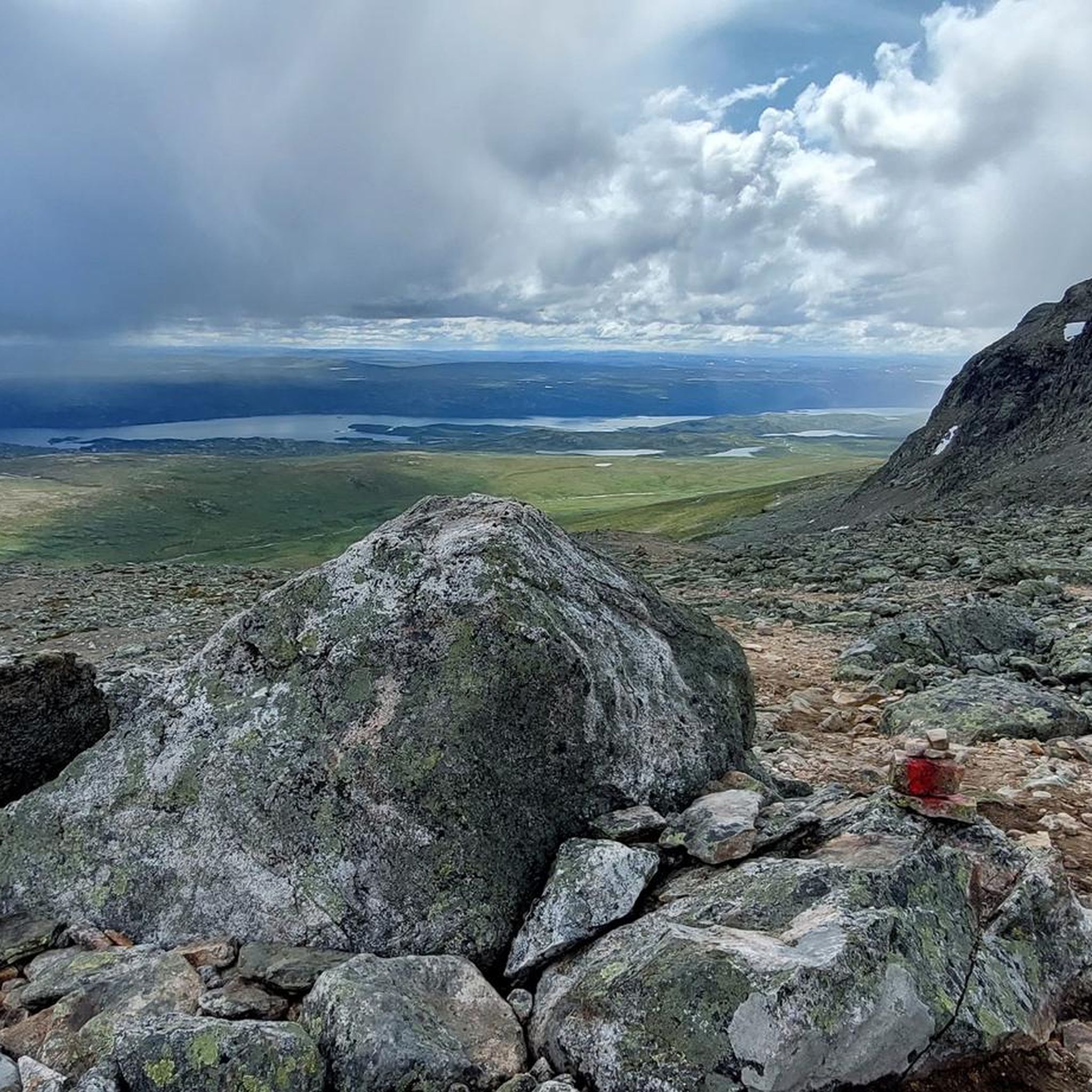
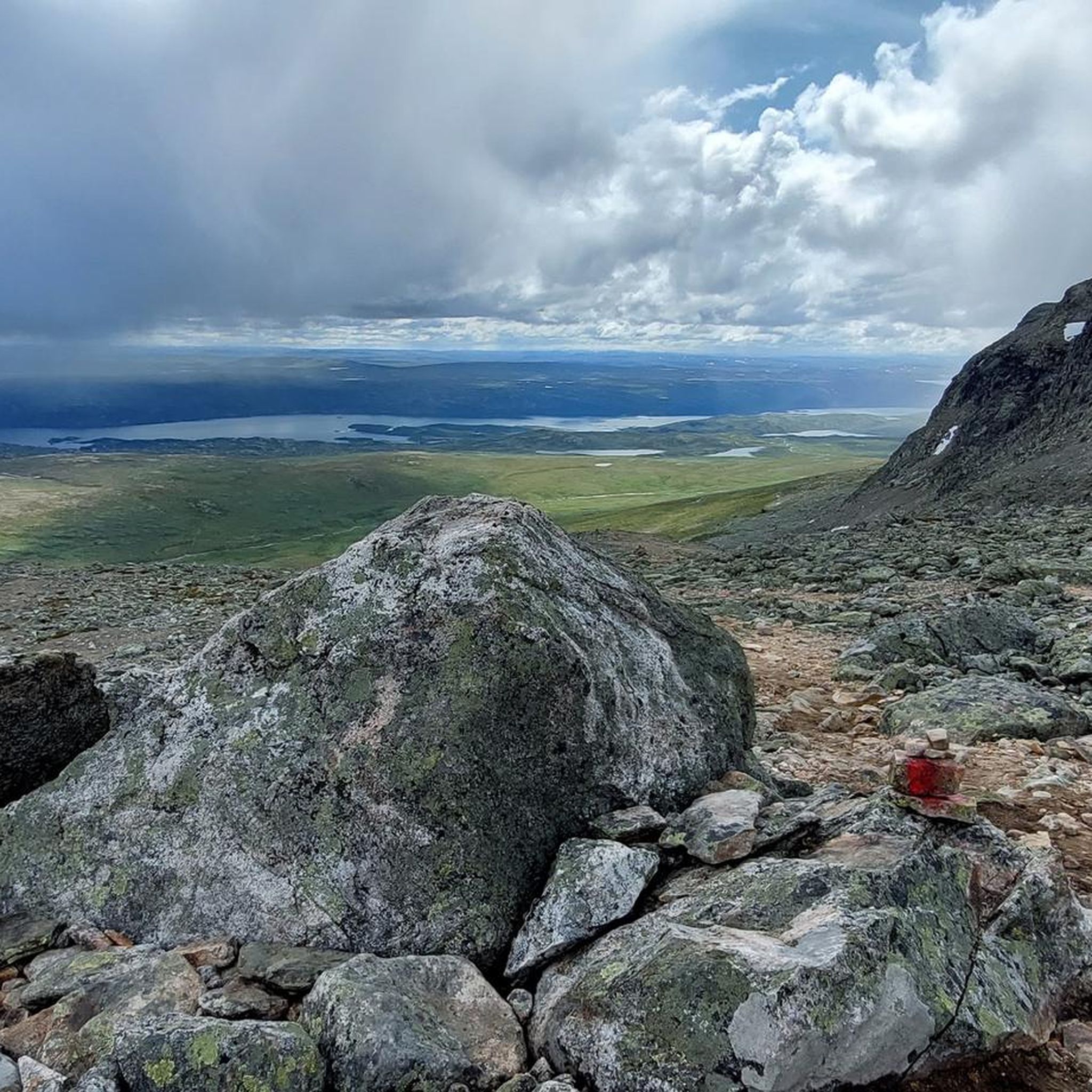
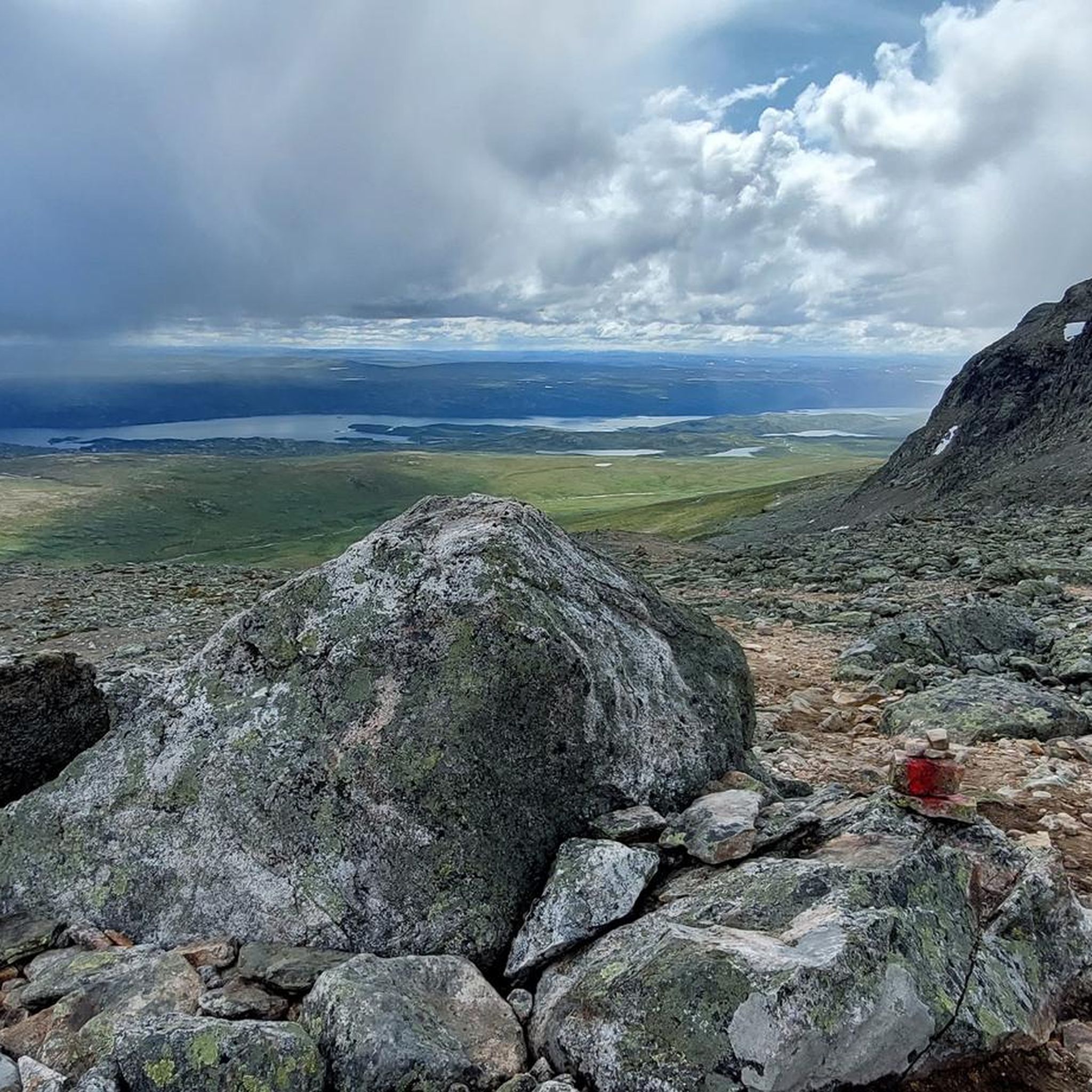
Finsevatnet is a high-altitude lake located right next to the tiny village of Finse, at 1,214 meters above sea level in the heart of southern Norway. From the railway station or nearby trails, you get a sweeping panorama that captures the remote, untouched feel of Norway’s high mountain plateau.
0
0

Frequently Asked Questions
What kind of terrain can I expect when running in Hallingskarvet?
Hallingskarvet offers a diverse and dramatic landscape for runners. You'll encounter high-mountain plateaus, steep cliffs, and glacially sculpted terrain with deep valleys. The upper reaches are often barren, while lower elevations transition into heathlands and alpine meadows. Trails can range from relatively flat sections on the plateau to challenging ascents and descents, sometimes featuring stone steps like the famous Sherpa Steps to Skarvsenden.
How many running routes are available in the Hallingskarvet area?
The Hallingskarvet region features over 20 running routes, catering to various fitness levels. These include 2 easy routes, 11 moderate routes, and 9 difficult routes, ensuring there's a suitable option whether you're looking for a gentle jog or a challenging trail run.
Are there any easy jogging routes suitable for beginners or a relaxed run?
Yes, while many routes are challenging, there are easy options available. For example, the Tufte Bridge – View of Geilo loop from Geilo is a moderate 11.5 km route with minimal elevation gain, making it a good choice for a more relaxed run. The Hallingskarvet Panorama, starting from Prestholtseter, is also known for its relatively flat 8.5 km terrain.
What are some notable landmarks or viewpoints I can see along the running trails?
Hallingskarvet boasts several stunning natural features and viewpoints. You can experience the dramatic Rocky Gorge Route in Hallingskarvet National Park, or enjoy panoramic views from the Sherpa Steps to Skarvsenden. The region also features Norway's highest lake, Flakavatnet, and the majestic Hallingskarvet massif itself, offering breathtaking vistas.
What is the best time of year to go jogging in Hallingskarvet?
The best time for jogging in Hallingskarvet is generally during the summer months, from late June to early September, when trails are mostly free of snow and the weather is milder. During this period, you can access higher elevations and enjoy the full network of trails. Outside of summer, conditions can be challenging due to snow, ice, and colder temperatures, especially at higher altitudes.
Are there any family-friendly running routes in Hallingskarvet?
While many routes are challenging, some sections and lower-elevation trails can be suitable for families. The Prestholtrunden Trail, for instance, offers a relatively accessible experience. When planning a family run, it's advisable to choose routes with less elevation gain and shorter distances, and always check current trail conditions.
What is the policy for bringing dogs on the running trails in Hallingskarvet National Park?
Dogs are generally welcome in Hallingskarvet National Park, but they must be kept on a leash at all times, especially during the bird nesting season (typically April 1 to October 31) and to protect grazing livestock and wild reindeer. Always ensure your dog is well-behaved and that you clean up after them to preserve the natural environment.
Where can I find parking or public transport options to access the trailheads?
Many trailheads, such as Prestholtseter, are accessible by car from Geilo during the summer. For public transport, Finse is a key access point, reachable by train. The Finse – Train Station – View of Finsevatnet loop from Finse starts conveniently from the Finse Train Station. It's recommended to check local transport schedules and parking availability for specific trailheads before your visit.
Are there any circular running routes in the Hallingskarvet area?
Yes, Hallingskarvet offers several excellent circular running routes. Popular options include the Finsehytta – View of Finse and Blåisen loop from Finse (11.8 km) and the Ustetind loop from Ustaoset (14.3 km). These loops allow you to start and finish at the same point, offering convenient exploration of the diverse landscapes.
What do other runners say about their experience jogging in Hallingskarvet?
The running routes in Hallingskarvet are highly rated by the komoot community, with an average score of 4.6 stars from 8 reviews. Over 400 runners have used komoot to explore the varied terrain, often praising the stunning high-mountain plateaus, dramatic cliffs, and the unique challenge of the alpine environment.
Are there any accommodations or places to eat near the Hallingskarvet trailheads?
Yes, areas like Geilo and Finse serve as good bases for exploring Hallingskarvet. Prestholtseter, a service cabin at the base of Hallingskarvet, is a starting point for several trails and may offer facilities. You can find hotels, guesthouses, cafes, and restaurants in nearby towns, particularly in Geilo, which provide amenities for visitors before or after their runs.
What kind of wildlife might I encounter while running in Hallingskarvet National Park?
Hallingskarvet is home to a rich array of wildlife. You might spot wild reindeer, arctic foxes, and wolverines. The park is also a haven for various bird species, including golden eagles and gyrfalcons. Maintaining a respectful distance and staying on marked trails helps protect these animals in their natural habitat.
Most popular routes around Hallingskarvet
Most popular attractions around Hallingskarvet

Get inspired with the komoot mobile app


Explore more
Browse the best Running Trails & Routes in other regions.
