The best walks and hikes around Ottersheim
4.6
(3330)
13,139
hikers
713
hikes
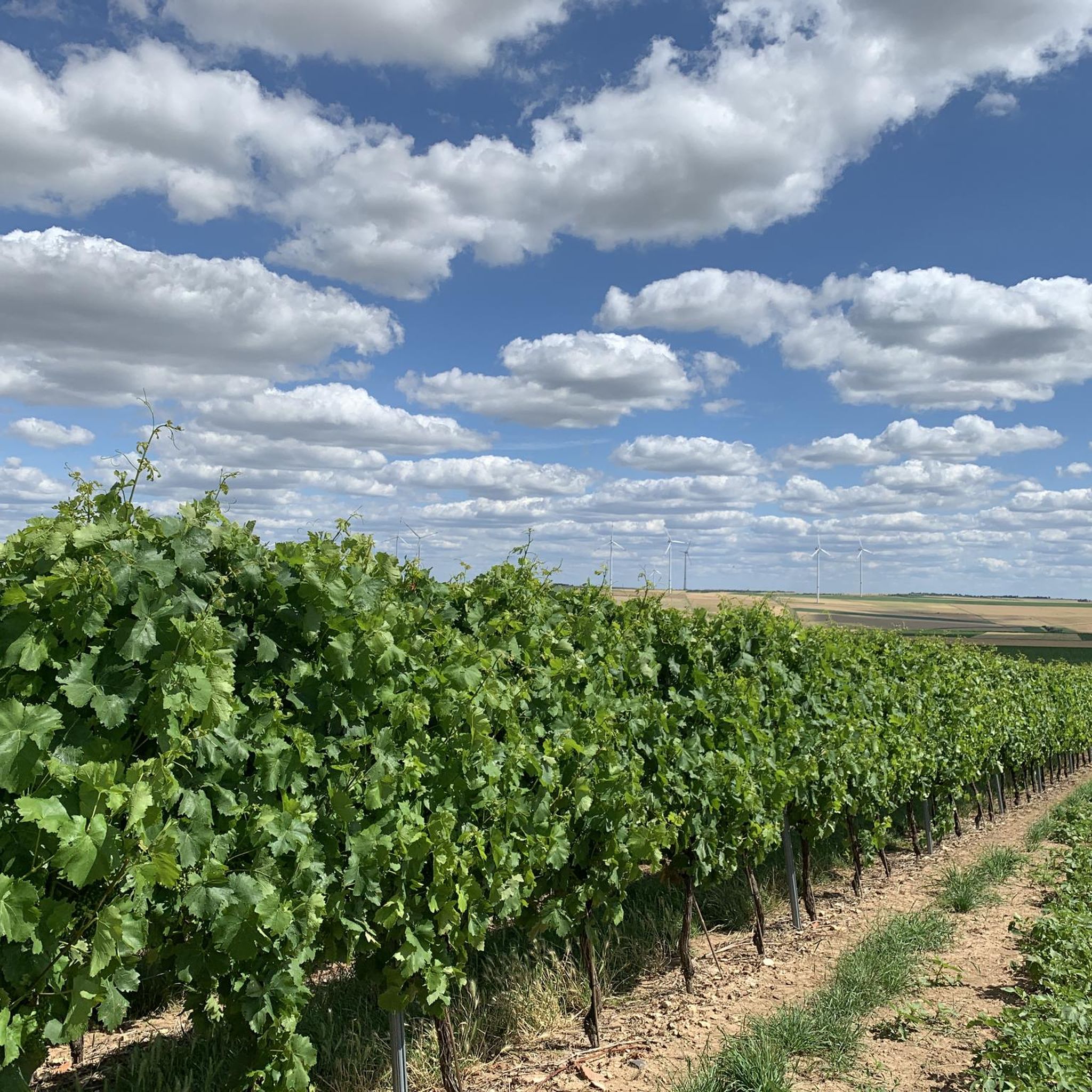
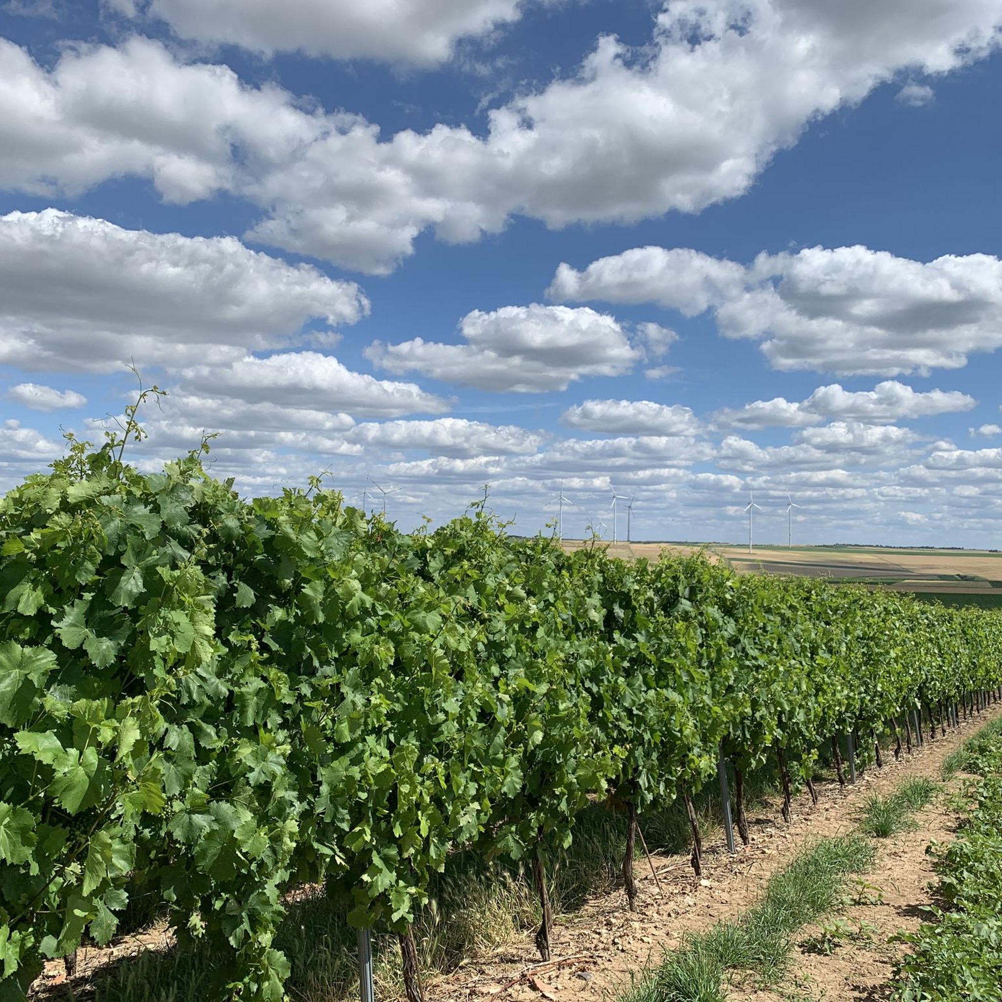
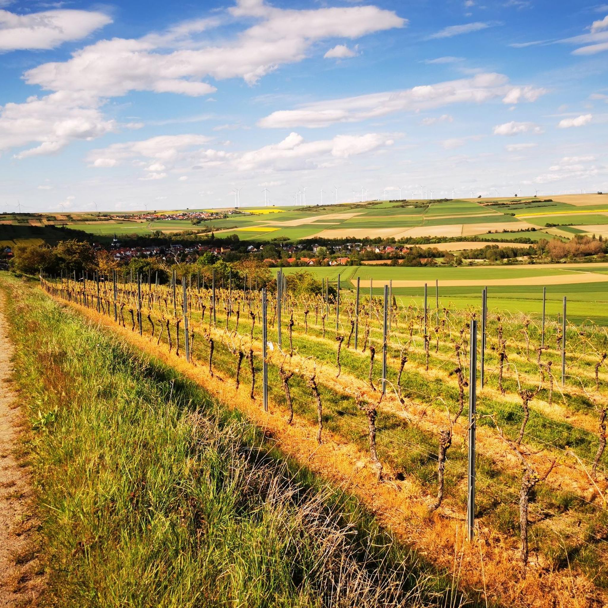
Hiking trails around Ottersheim offer diverse landscapes, from expansive vineyards to tranquil forests and open fields. The region is characterized by its position in the Rhine Valley, providing panoramic views from elevated points. Natural features include the renatured Brühlgraben stream with an accompanying path, and the nearby Naturschutzgebiet "Schwarz-Weiß-Bachtal." These varied environments create a range of hiking experiences for different preferences.
Best hiking trails around Ottersheim
- The most popular hiking route is Weinrast Mölsheim Viewpoint – View of Mölsheim loop…
Last updated: June 30, 2026
4.8
(12)
53
hikers
Moderate hike. Good fitness required. Easily-accessible paths. Suitable for all skill levels.
4.6
(16)
69
hikers
11.3km
03:04
160m
160m
Moderate hike. Good fitness required. Easily-accessible paths. Suitable for all skill levels.

Sign up for free
4.7
(3)
22
hikers
Easy hike. Great for any fitness level. Easily-accessible paths. Suitable for all skill levels.
4.7
(3)
22
hikers
5.10km
01:24
80m
80m
Easy hike. Great for any fitness level. Easily-accessible paths. Suitable for all skill levels.
4.6
(9)
16
hikers
Moderate hike. Good fitness required. Easily-accessible paths. Suitable for all skill levels.
Get access to more routes and recommendations from other explorers.
Sign up for free
Already have an account?
Our route recommendations are based on thousands of hikes, rides, and runs completed by other people on komoot.
Start today with a free account
Your next adventure awaits.
Login or Signup

Tips from the Community

Great rest stop on the bike path for several people. A little tip: very close by, at the Enders fruit farm, there are vending machines selling regional products; one of them has delicious ice cream (about 200 meters towards Albisheim).
0
0

The memorial was erected in 1926 as a columned hall on 6 pillars – one for each of the Zellertal communities (Einselthum, Harxheim, Niefernheim, Zell, Mölsheim and Wachenheim).
0
0

The history of Bubenheim is very closely linked to this church, the oldest Romanesque village church in the Palatinate (from 1163)! Unfortunately, it is quite difficult to gain spontaneous access here, as you have to go through the hassle of obtaining the key from a family at the end of the village (assuming you meet someone there)! In front of the (locked) door to the church grounds, on the left, there is a stone scallop shell that points to this medieval cultural asset and is part of the "Star Trail/Chemin des étoiles". This European model project runs along the pilgrimage routes of St. James in the border regions of the Palatinate/Saarland/Alsace/Lorraine. More information: www.sternenweg.net
2
0

https://albisheim.de/v2/dorfleben/einrichtungen/der-warteturm Similar watchtowers in the area were built in the 13th to 14th centuries. This watchtower was first mentioned in 1551 in the boundary of a vineyard
2
0
Unfortunately, the "Zellertalweg" only runs above the Zellertal memorial (and NOT directly there). From this point you have a limited view of it. A descent is only recommended in exceptional cases (steep, slippery, lots of bushes, no real path)! Unfortunately, the rest area here offers NO view (bushes!) of the memorial!
1
0
Here you can watch the Taurus cattle of the "Mittlere Pfrimm" grazing project in peace and quiet (without street noise) - or enjoy a beautiful view over wide fields.
1
0
Beautiful views of Einselthum (left) and Zell (right); shade provided by trees and bushes!
1
0
Frequently Asked Questions
How many hiking trails are available around Ottersheim?
Ottersheim offers a wide variety of hiking opportunities, with over 730 routes available. These range from easy strolls to more challenging excursions, catering to different preferences and fitness levels.
What kind of landscapes can I expect to see while hiking in Ottersheim?
Hikers in Ottersheim will encounter diverse landscapes, including expansive vineyards, tranquil forests, and open fields. Elevated points, such as the area around Burgruine Ottersheim, provide panoramic views of the Rhine Valley. You can also explore the renatured Brühlgraben stream with its accompanying path and the nearby Naturschutzgebiet "Schwarz-Weiß-Bachtal".
Are there any family-friendly hiking options in Ottersheim?
Yes, Ottersheim is great for families. The Ottersheimer Walderlebnispfad (Forest Adventure Trail) is particularly suited for children, offering interactive stations to learn about local flora and fauna. It's especially enjoyable in spring when many storks are visible in the area.
What are some notable landmarks or viewpoints along the trails?
You can visit the Burgruine Ottersheim for magnificent panoramic views of the Rhine Valley. The region also features historical landmarks like the oldest town hall in the district (built in 1555) and the Catholic Church of St. Martin. For natural sights, consider exploring the Niefernheimer Löcher Springs or the Mölsheimer Quellbach Nature Reserve.
When is the best time of year to go hiking in Ottersheim?
The best seasons for hiking in Ottersheim are spring, when nature is in full bloom and storks are abundant, and autumn, when the leaves display warm, colorful hues across the vineyards and forests. The well-signposted paths are enjoyable in both seasons.
Are there any circular hiking routes available?
Yes, many routes in Ottersheim are circular, allowing you to start and end at the same point. An example of a moderate circular route is the Albisheim Town Hall – Pfrimm in Albisheim loop from Albisheim (Pfrimm), which covers about 8 km.
What do other hikers say about the trails in Ottersheim?
The hiking routes in Ottersheim are highly rated by the komoot community, with an average score of 4.6 stars from over 3,100 reviews. Hikers often praise the diverse terrain, from vineyards to forests, and the stunning views of the Rhine Valley.
Are there any easy hiking trails suitable for beginners?
Yes, Ottersheim offers numerous easy trails. For instance, the St. Peter's Church, Bubenheim – Jakobs Pilgrims' Trail in Harxheim loop from Zellertal is an easy 5.6 km route that can be completed in about 1.5 hours, leading through pleasant rural areas.
Can I find places to eat or drink along the hiking trails?
The region's focus on vineyards means you can often find cozy wine taverns and estates along routes that traverse the local vineyards. These offer opportunities to sample regional specialties and take a break during your hike.
Are there any castles or historical sites to visit near the hiking paths?
Absolutely. Beyond the local historical buildings in Ottersheim, you can find several castles nearby. Consider visiting the Ruins of Battenberg Castle or Neuleiningen Castle, which are popular highlights in the wider region.
What kind of wildlife can I spot while hiking?
Ottersheim is particularly known for its numerous storks, especially in spring, which can be observed in the area's damp meadows where they hunt. The diverse natural environments also support various other bird species and small wildlife.
Are there any nature reserves worth exploring?
Yes, the nearby Naturschutzgebiet "Schwarz-Weiß-Bachtal" offers further opportunities for nature exploration and is a great place to experience the region's natural beauty and biodiversity.
Most popular routes around Ottersheim
Most popular attractions around Ottersheim

Get inspired with the komoot mobile app


Explore more
Browse the best Hikes in other regions.
