The best walks and hikes around Ohorn
4.6
(448)
1,746
hikers
96
hikes
Hiking trails around Ohorn are situated within the western Lusatian Hills, a region characterized by diverse terrain including forests and the valley of the River Pulsnitz. The landscape features volcanic mountains and granite peaks, with the prominent Hochstein Hill rising to 449 meters. This area offers a blend of natural beauty and varied ecosystems, providing a range of hiking experiences.
Best hiking trails around Ohorn
- The most popular hiking route is Heldenhain War Memorial – Black Pond loop from Ohorn…
Last updated: June 28, 2026
4.6
(51)
169
hikers
10.5km
02:58
230m
230m
Moderate hike. Good fitness required. Easily-accessible paths. Suitable for all skill levels.
4.7
(35)
99
hikers
8.59km
02:23
160m
160m
Moderate hike. Good fitness required. Easily-accessible paths. Suitable for all skill levels.

Sign up for free
4.8
(50)
153
hikers
Easy hike. Great for any fitness level. Easily-accessible paths. Suitable for all skill levels.
4.7
(26)
120
hikers
12.6km
03:34
290m
290m
Moderate hike. Good fitness required. Easily-accessible paths. Suitable for all skill levels.
4.6
(13)
56
hikers
6.73km
01:47
70m
70m
Easy hike. Great for any fitness level. Easily-accessible paths. Suitable for all skill levels.
Get access to more routes and recommendations from other explorers.
Sign up for free
Already have an account?
Our route recommendations are based on thousands of hikes, rides, and runs completed by other people on komoot.
Start today with a free account
Your next adventure awaits.
Login or Signup

Tips from the Community

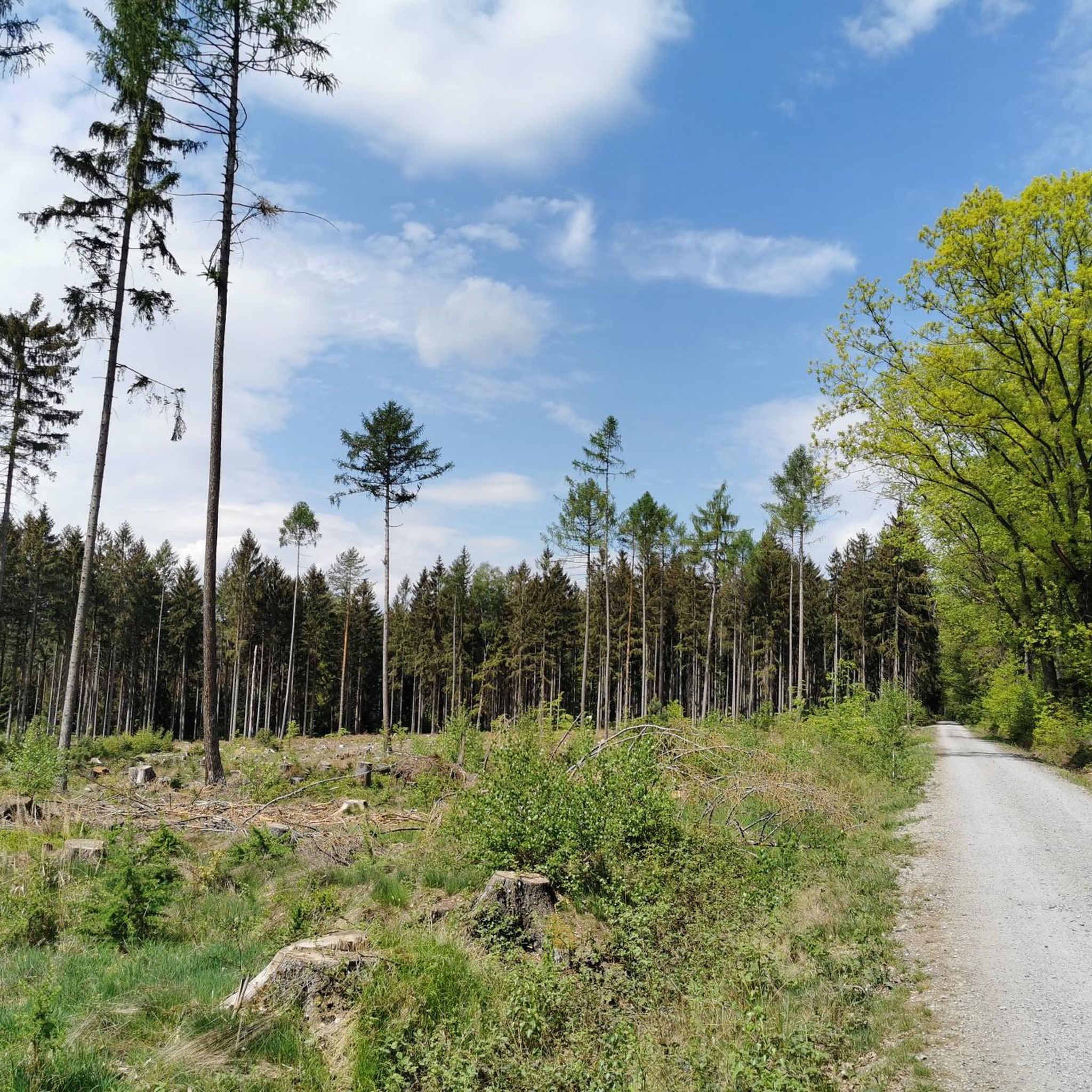
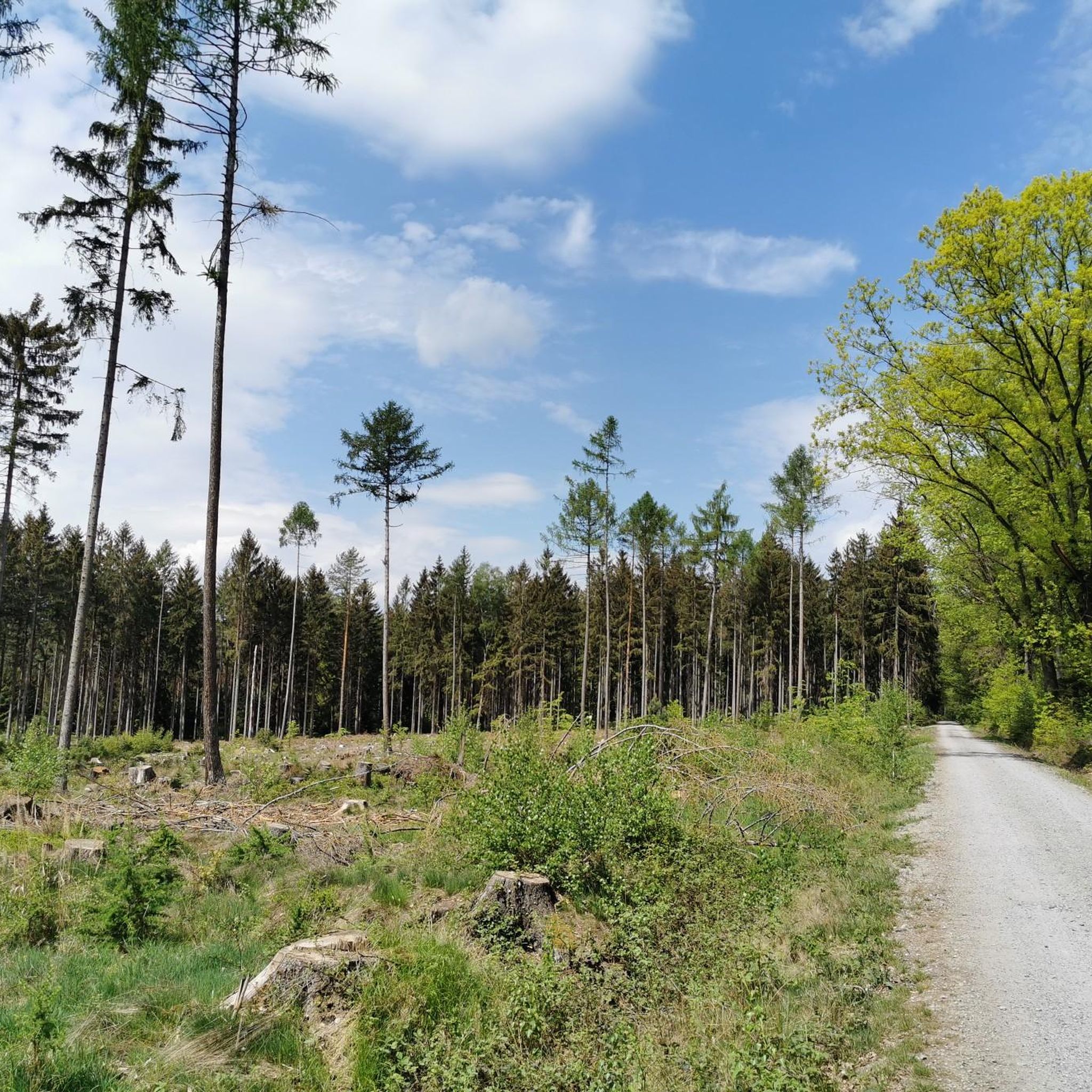
As of April 2026, there is no view here anymore, except for the birches growing in the line of sight.
0
0

The bridge is an impressive monument, durable and beautiful!
0
0

Perfect for a break.
0
0


Location: Schwedensteinweg, near the entrance to the VAMED Rehaklinik Schwedenstein car park
0
1

Stable covered shelter along the way
4
0
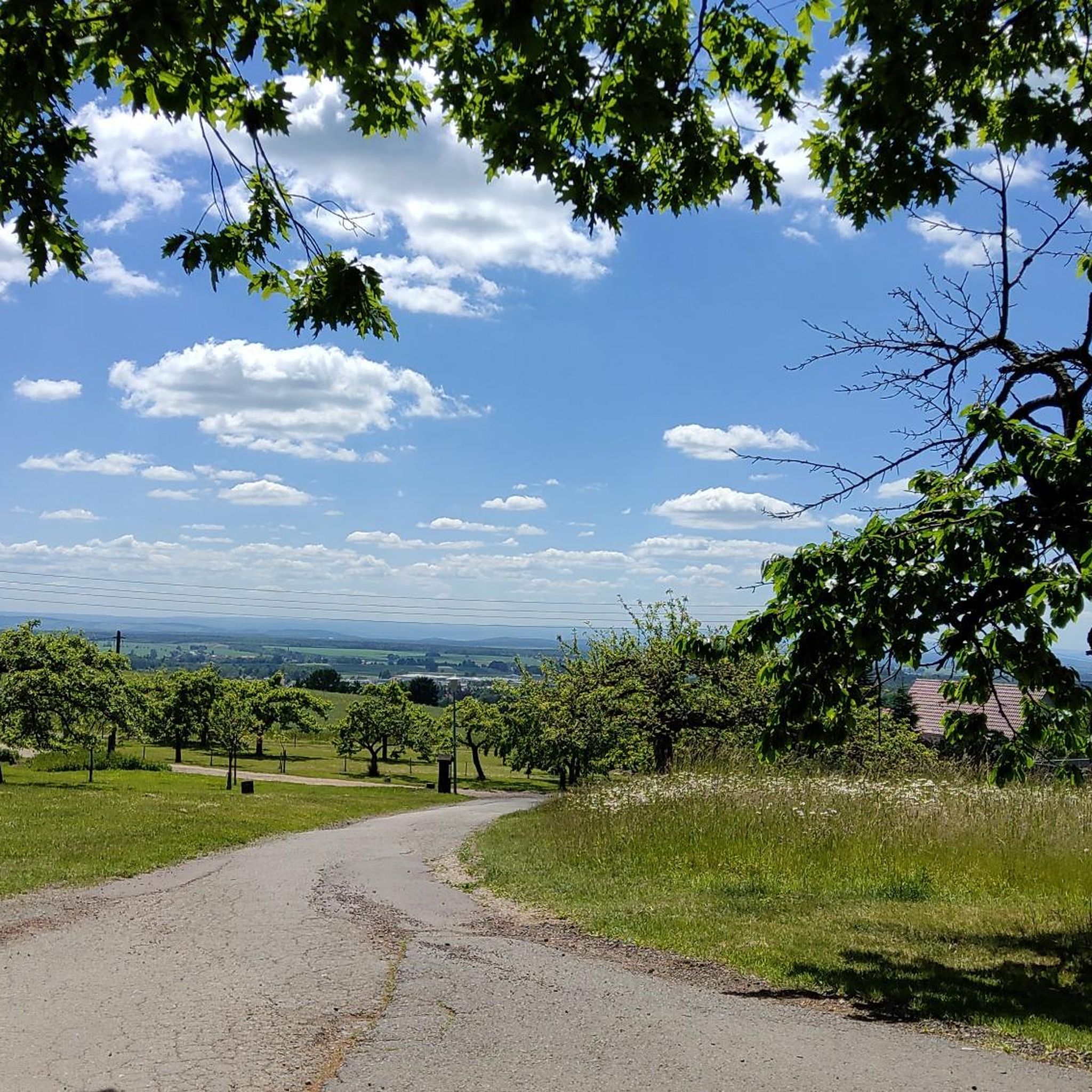
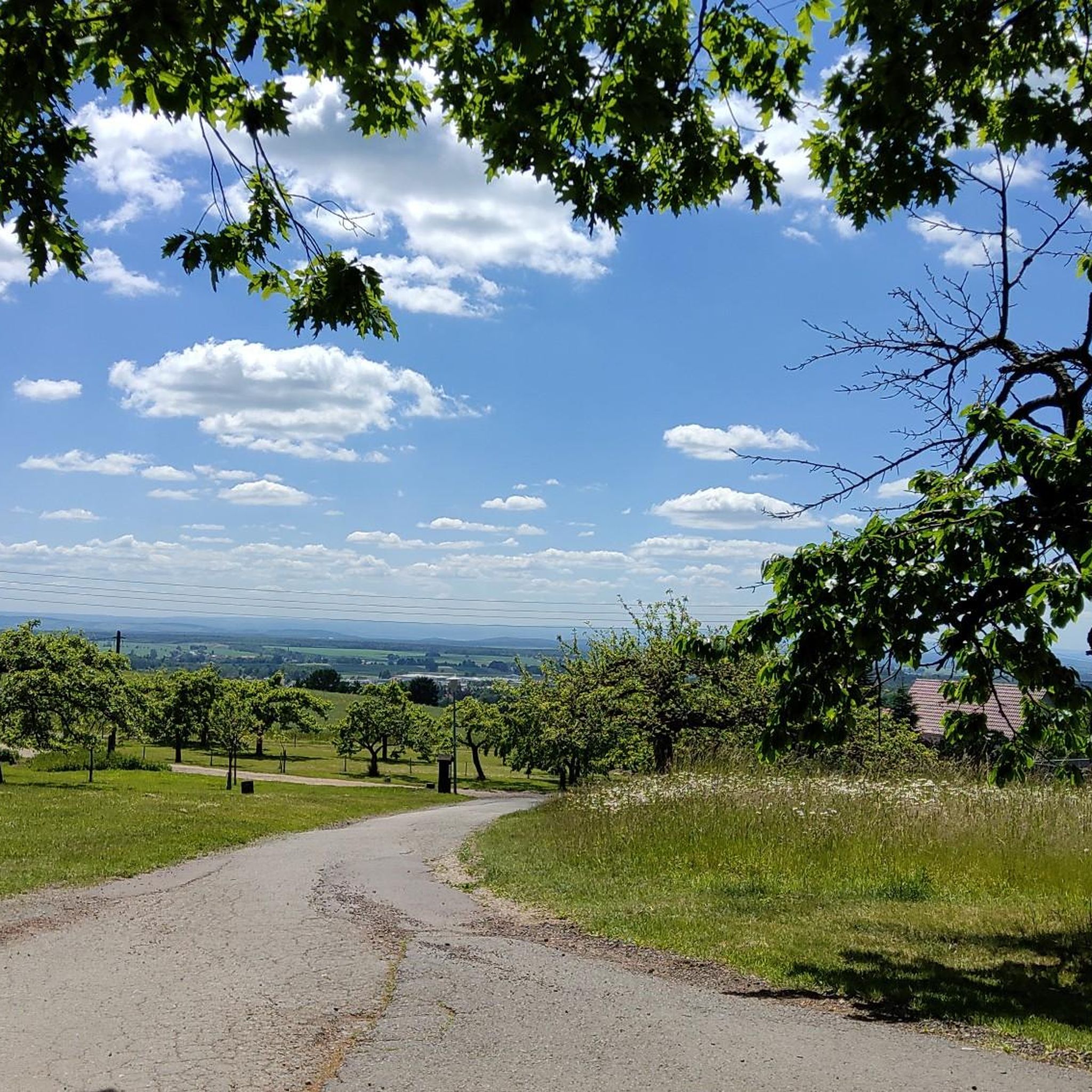
There is a beautiful panoramic view from up here
5
0
The Schwedenstein is a 419.7 m above sea level[1] high mountain in West Lusatia...with a lookout tower and restaurants
7
0
Frequently Asked Questions
How many hiking trails are available around Ohorn?
Ohorn offers a wide variety of hiking experiences, with nearly 100 routes documented on komoot. These range from easy strolls to more challenging ascents, catering to different fitness levels.
What kind of terrain can I expect on hikes around Ohorn?
The hiking trails around Ohorn are set within the western Lusatian Hills, featuring diverse terrain. You'll encounter dense forests, the valley of the River Pulsnitz, and characteristic landscapes with volcanic mountains and granite peaks. The region is known for its dramatic changes in scenery, including cliffs, table mountains, gorges, and valleys.
Are there any easy hiking trails suitable for beginners or leisurely walks?
Yes, Ohorn has plenty of options for easy hikes. Over half of the routes, specifically 57, are rated as easy. An example is the Pulsnitz Stream – Pulsnitz Stream loop from Ohorn, which is a 4.2-mile (6.7 km) trail through the valley, often completed in under two hours.
Are there any trails with waterfalls or interesting natural features?
Absolutely. You can explore trails that feature unique natural elements. For instance, the Haselbach Stream and Waterfall – Schwarzer Teich loop from Luchsenburg is a moderate 5.4-mile (8.7 km) path that includes stream-side sections and a waterfall, offering a picturesque experience.
What are some notable landmarks or viewpoints I can discover while hiking?
The region around Ohorn is rich in natural landmarks and viewpoints. You can visit the prominent Hochstein (Sibyllenstein), which is the highest point of Westlausitz. Other notable spots include the Schwedenstein Observation Tower and the Butterberg Observation Tower, both offering expansive views of the surrounding Lusatian Hills.
Are there family-friendly hiking options in Ohorn?
Many of the trails around Ohorn are suitable for families, especially the easier routes. The diverse landscape with forests and streams provides an engaging environment for children. Consider shorter, less strenuous loops like the Luchsenburg Forest Lodge – Dorfhaus Leichlingen loop from Ohorn, which is just over 4 miles (6.4 km) and features gentle elevation changes.
Can I bring my dog on the hiking trails around Ohorn?
Yes, Ohorn's natural setting is generally dog-friendly. Most trails through forests and natural areas welcome dogs, though it's always advisable to keep them on a leash, especially in areas with wildlife or near agricultural land. Always ensure you carry waste bags and water for your pet.
Are there circular hiking routes available?
Yes, many of the trails around Ohorn are designed as circular routes, allowing you to start and end at the same point without retracing your steps. An example is the popular Heldenhain War Memorial – Black Pond loop from Ohorn, a 6.4-mile (10.3 km) trail through varied forest landscapes.
What is the best time of year to go hiking in Ohorn?
Ohorn offers beautiful hiking experiences throughout the year. Spring brings blooming flora, while summer provides lush green forests. Autumn is particularly scenic with vibrant fall colors. Even winter can be magical for hiking, especially after a fresh snowfall, though some paths might be slippery or require appropriate gear.
What do other hikers enjoy most about the trails in Ohorn?
The hiking trails in Ohorn are highly regarded by the komoot community, with an average rating of 4.6 stars from over 400 reviews. Hikers frequently praise the quiet woodlands, the varied terrain of the Lusatian Hills, and the well-maintained paths that offer a blend of natural beauty and accessible outdoor activity.
Is there public transport available to reach hiking trailheads in Ohorn?
Ohorn is a municipality within Saxony, and while local buses connect various villages, direct public transport to specific remote trailheads might be limited. It's recommended to check local bus schedules for connections to Ohorn itself, and then plan your hike from there, or consider driving to trail starting points.
Where can I find parking for hiking trails in Ohorn?
Parking is generally available in and around the villages of Ohorn. Many trailheads, especially those starting from a village center or popular recreational spots, will have designated parking areas. Look for signs indicating 'Wanderparkplatz' (hiker's parking) or use local maps to identify suitable parking spots near your chosen starting point.
Most popular routes around Ohorn
Most popular attractions around Ohorn

Get inspired with the komoot mobile app


Explore more
Browse the best Hikes in other regions.
