The best walks and hikes in Bezirk Oberwart
4.5
(1109)
6,314
hikers
466
hikes
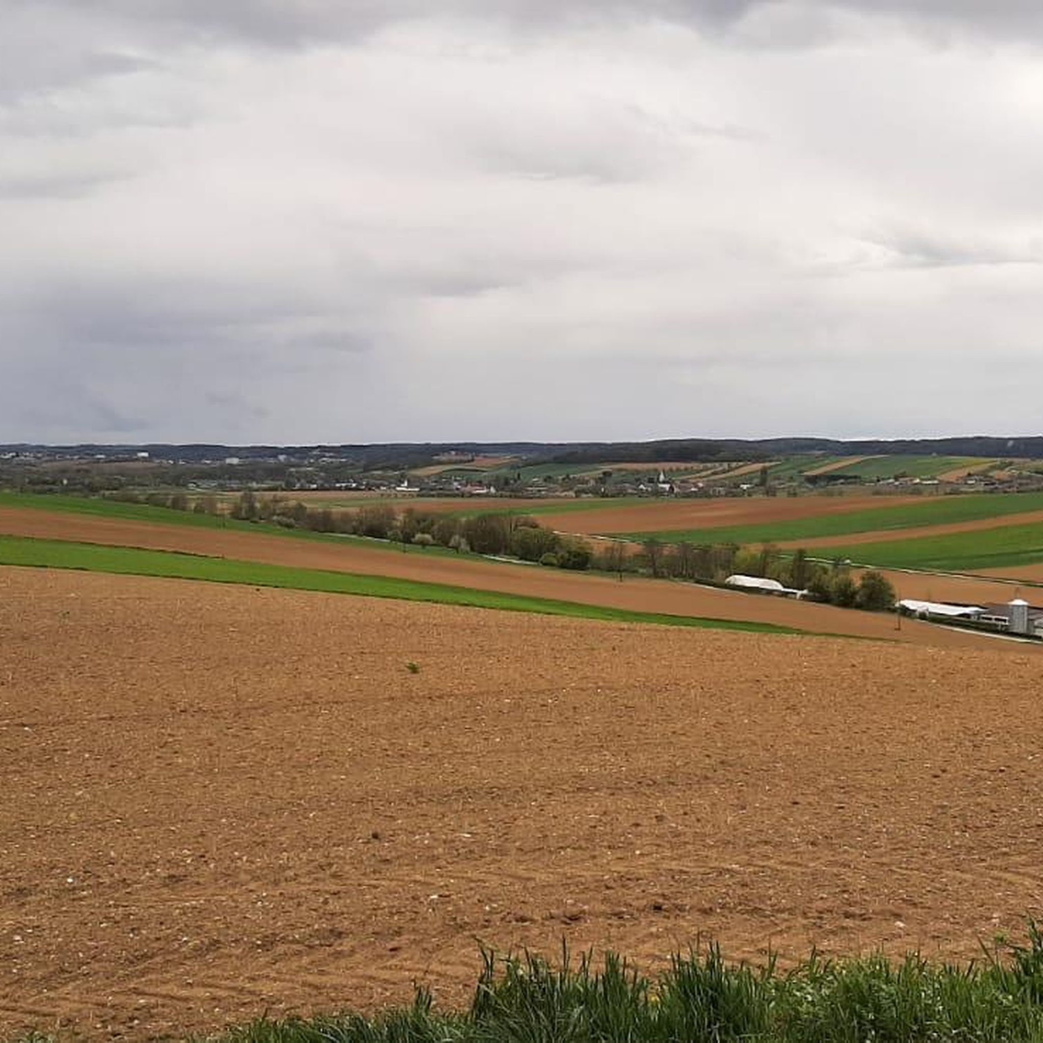
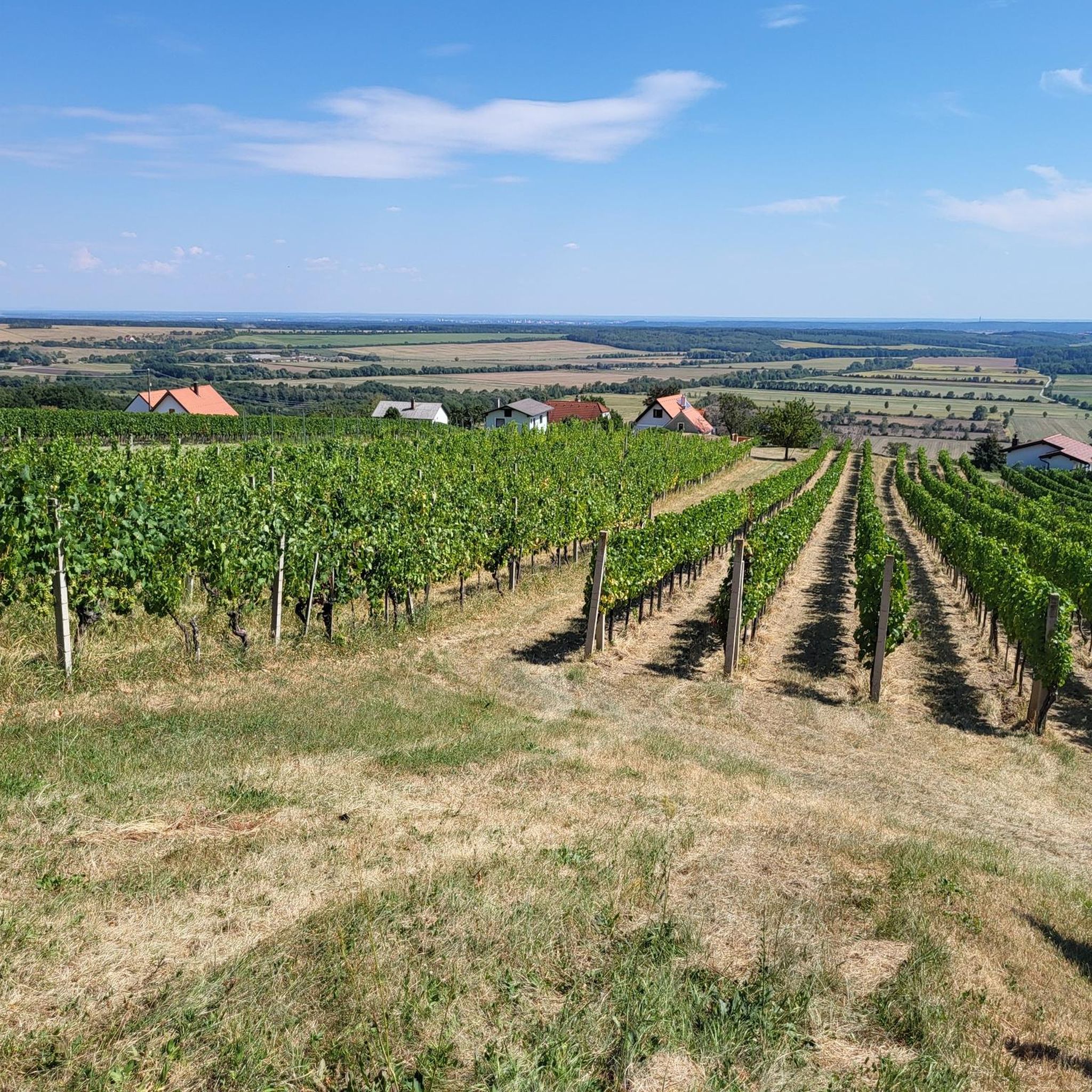
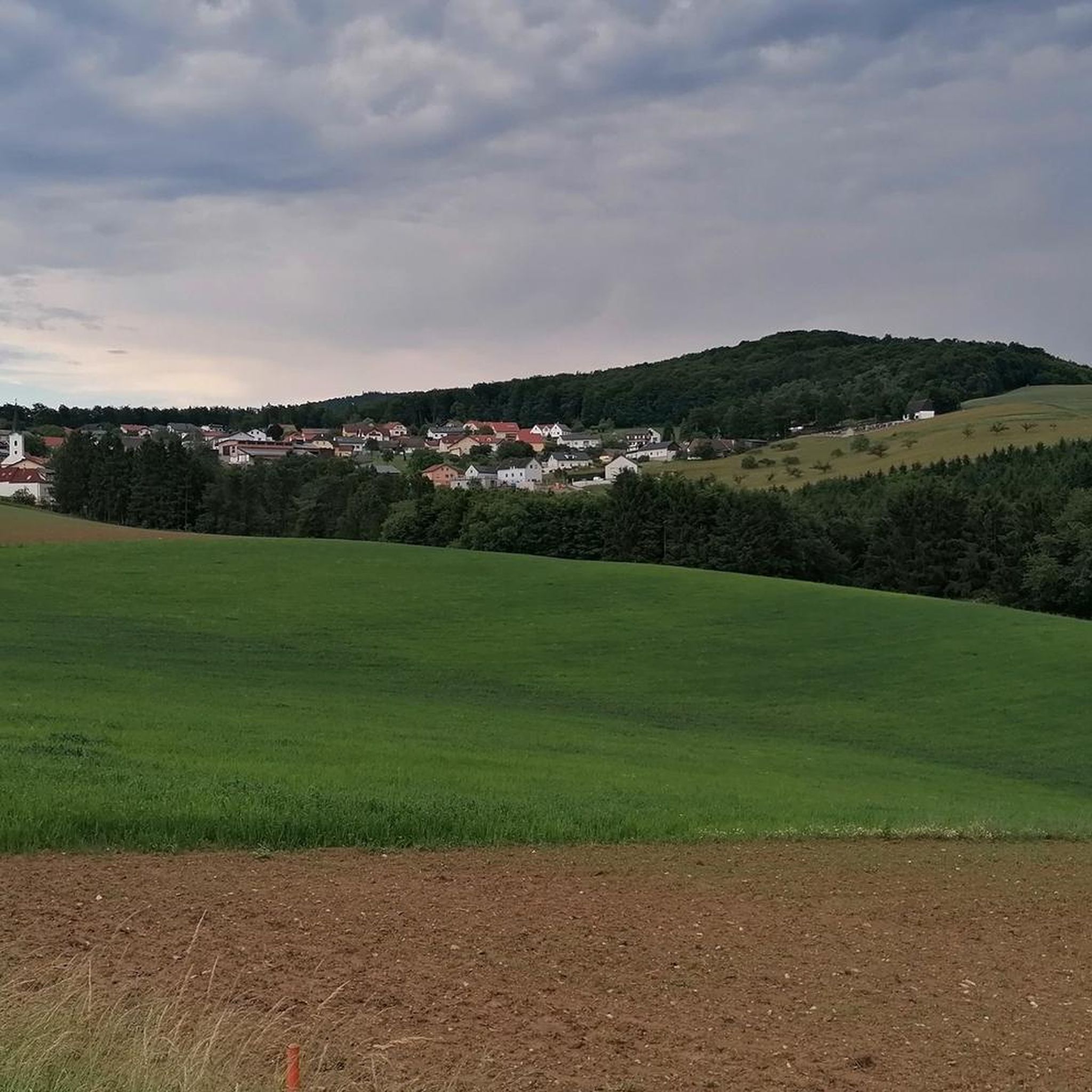
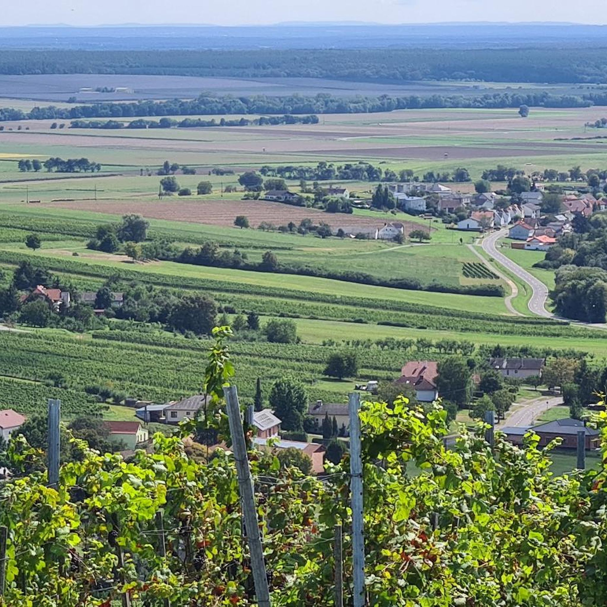
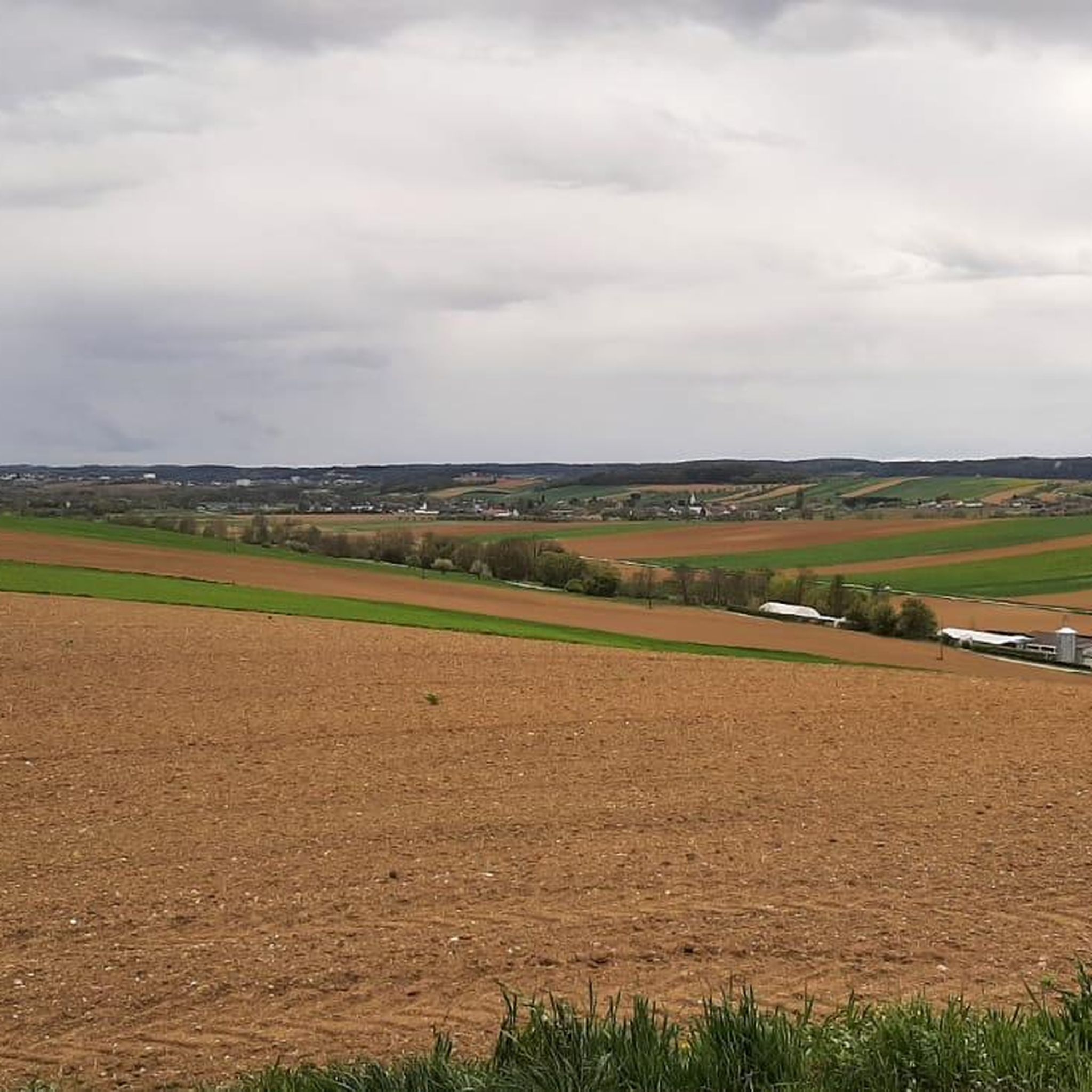
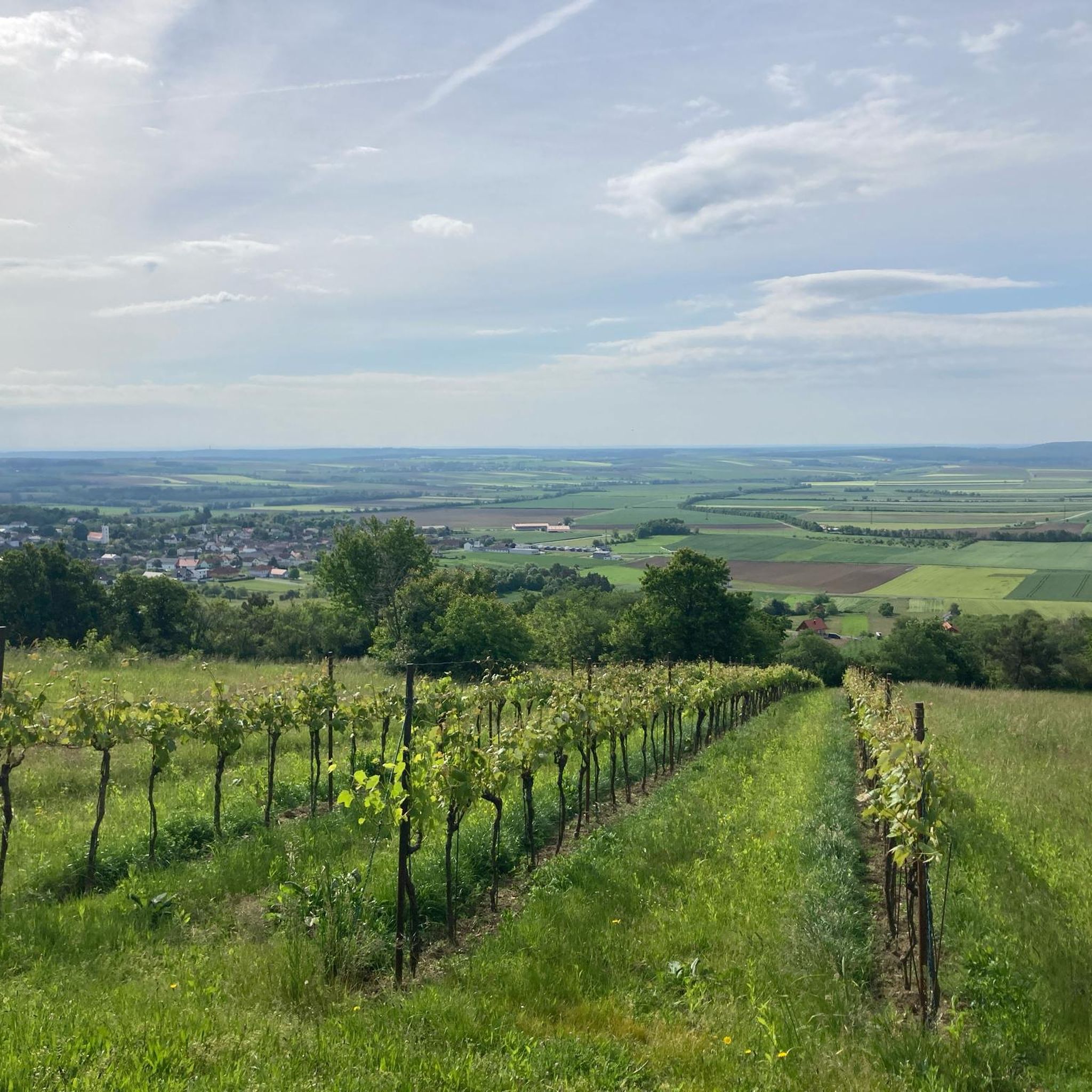
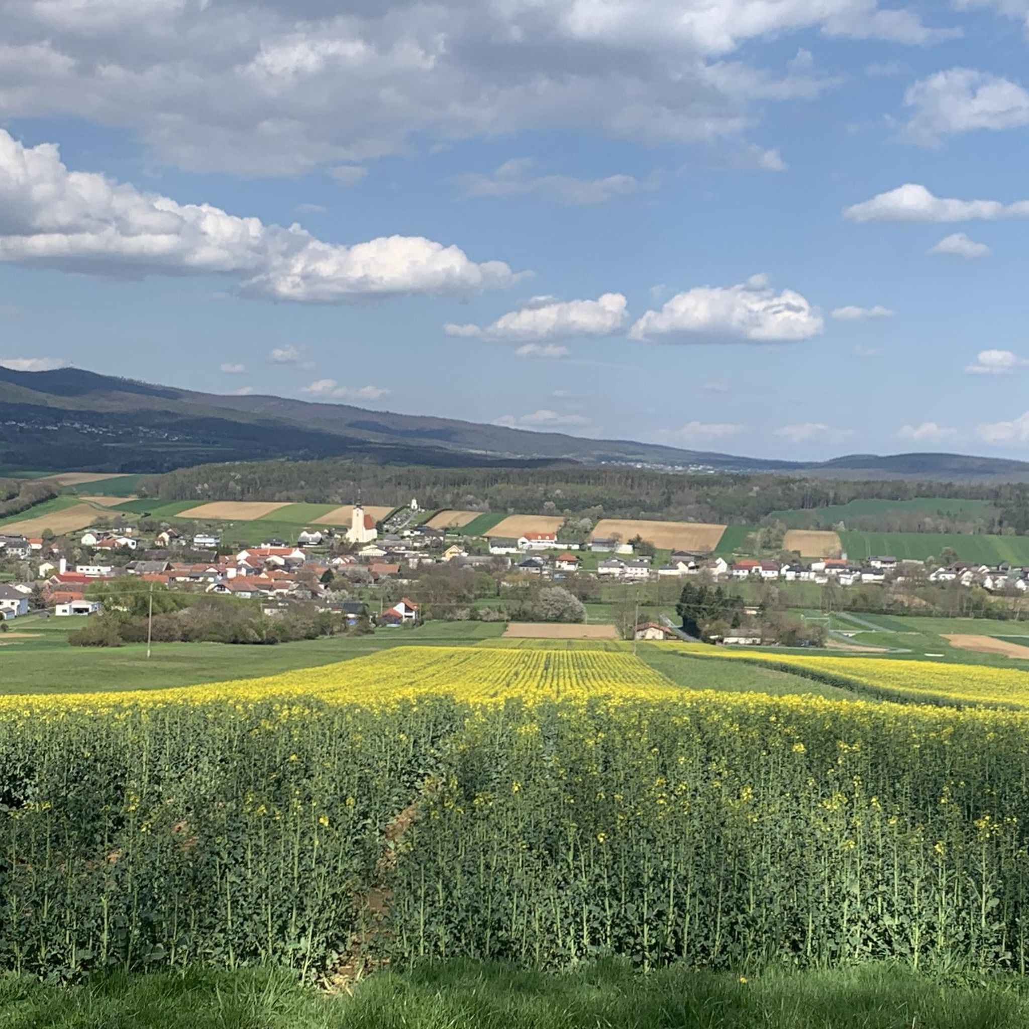
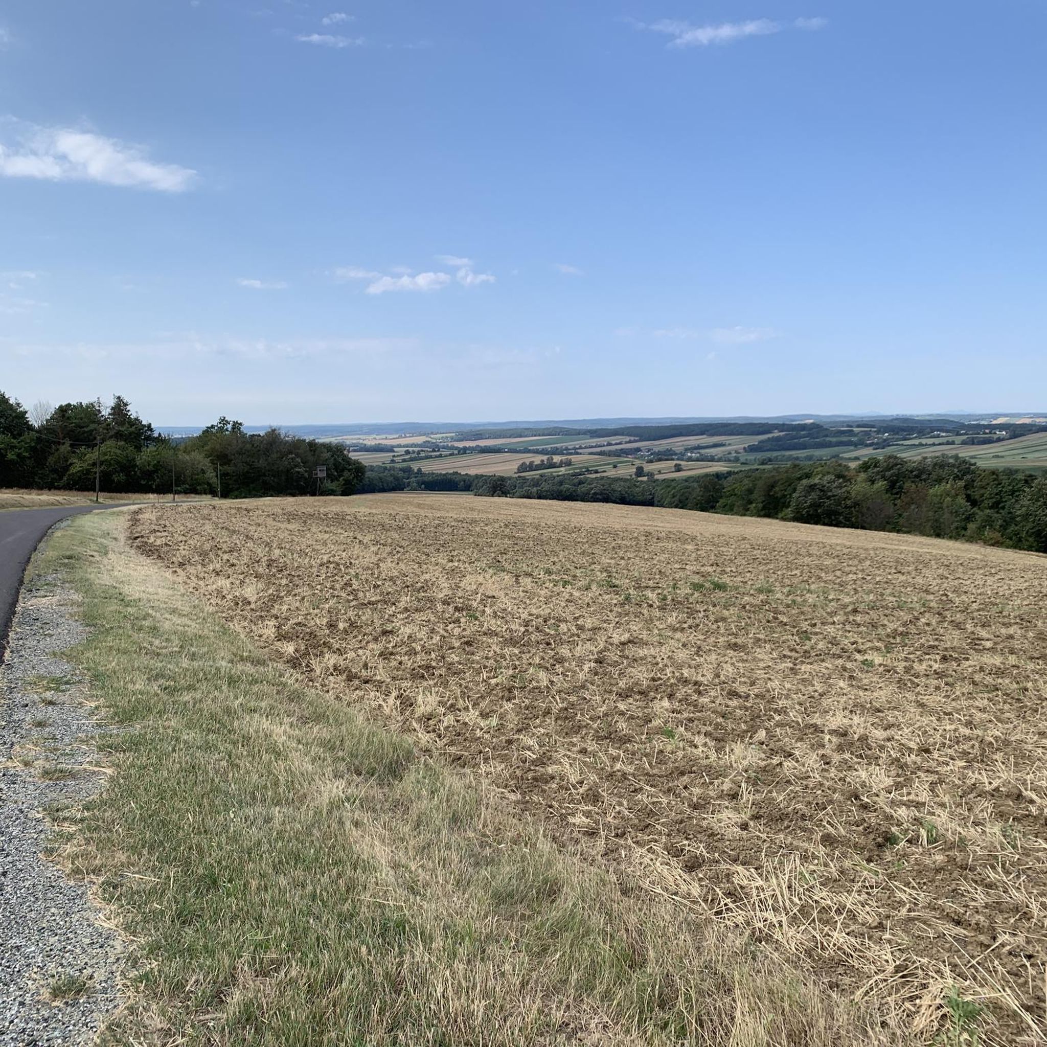
Hiking in Bezirk Oberwart, located in Austria's Burgenland region, offers diverse landscapes characterized by rolling hills, dense forests, and picturesque vineyards. The area is situated at the foot of the Geschriebenstein massif, which features the highest point in Burgenland. Valleys such as Pinkatal and Stremtal contribute to the varied terrain, providing a range of hiking experiences. The region also includes protected natural areas with dry grasslands and wetland environments.
Best hiking trails in Bezirk Oberwart
- The most popular hiking route…
Last updated: October 5, 2026
4.6
(69)
250
hikers
11.7km
03:18
260m
260m
Moderate hike. Good fitness required. Easily-accessible paths. Suitable for all skill levels.
4.8
(27)
127
hikers
14.3km
03:59
260m
260m
Moderate hike. Good fitness required. Easily-accessible paths. Suitable for all skill levels.

4.5
(16)
38
hikers
11.1km
03:09
230m
230m
Moderate hike. Good fitness required. Easily-accessible paths. Suitable for all skill levels.
4.5
(4)
16
hikers
16.1km
04:51
520m
550m
Moderate hike. Good fitness required. Easily-accessible paths. Suitable for all skill levels.
4.7
(53)
194
hikers
8.94km
02:29
160m
160m
Moderate hike. Good fitness required. Easily-accessible paths. Suitable for all skill levels.
4.5
(42)
216
hikers
Easy hike. Great for any fitness level. Easily-accessible paths. Suitable for all skill levels.
4.5
(28)
144
hikers
8.99km
02:26
120m
120m
Moderate hike. Good fitness required. Easily-accessible paths. Suitable for all skill levels.
4.8
(23)
135
hikers
Moderate hike. Good fitness required. Easily-accessible paths. Suitable for all skill levels.
4.5
(8)
92
hikers
16.7km
05:03
560m
560m
Hard hike. Very good fitness required. Easily-accessible paths. Suitable for all skill levels.
4.3
(16)
95
hikers
Easy hike. Great for any fitness level. Easily-accessible paths. Suitable for all skill levels.
Get access to more routes and recommendations from other explorers.
Already have an account?
Our route recommendations are based on thousands of hikes, rides, and runs completed by other people on komoot.
Start today with a free account
Your next adventure awaits.
Popular around Bezirk Oberwart
Other adventures in Bezirk Oberwart


Tips from the Community

A beautifully maintained labyrinth. It's fun to find the way. In the immediate vicinity, you will also find many seating areas in the spa park.
0
0

The modern summit cross stands a short distance from the highest point of the Geschriebenstein, where the popular viewing tower is enthroned instead. It is made of aluminum, firmly anchored to a rock, and can be reached relaxed during a leisurely hike through the nature park. Incidentally, the border between Austria and Hungary runs directly over this historic border point.
2
0
The parish and pilgrimage church of St. Nicholas in Burgenland is an impressive baroque house of worship, especially valued for its artistic furnishings and spiritual significance. Visitors will find a wonderfully peaceful atmosphere here, which is great for pausing and discovering the historical details. Thanks to its central location in the town, the church is also a great starting point for exploring the surrounding region.
1
0
The Protestant "Church of Peace" (Friedenskirche) in Bad Tatzmannsdorf was built according to the plans of the architect couple Karl and Charlotte Pfeiler and consecrated on October 20, 1968. The architectural concept is driven by the idea of affirming God's creation and the church's openness to the world. The organ was built by the Upper Austrian Organ Building Company St. Florian and handed over in 1971. The three bells (cast in 1921) with the inscriptions "Faith", "Hope" and "Love" are a gift from the Protestant community of Enzweihingen (near Stuttgart) and call people to prayer from the free-standing bell tower. Source: https://evang.at/adressen/bad-tatzmannsdorf-friedenskirche/
0
0
A resting place at the crossroads.
0
0
If you like, you can take off your shoes here and feel pure nature in various forms on the soles of your feet. Right next to it, you will also find a resting place.
0
0
Here, in the shady spa park, you will find this monument, with the information that Franz Grillparzer also liked to go to Bad Tatzmannsdorf for cures. There are also some places to rest all around.
0
0
Here you will find a shady spot for a rest and a memorial stone with a quote from Hildegard von Bingen. In the immediate vicinity, there are also some seating areas and a barefoot path.
0
0
Frequently Asked Questions
How many hiking trails are available in Bezirk Oberwart?
Bezirk Oberwart offers a wide variety of hiking experiences, with over 500 routes available. These trails cater to different preferences, ranging from easy walks to more challenging excursions through the region's diverse landscapes.
What are the different difficulty levels for hiking in Bezirk Oberwart?
The hiking trails in Bezirk Oberwart are categorized into various difficulty levels to suit all hikers. You'll find approximately 250 easy routes, 232 moderate trails, and 18 more difficult options, ensuring there's a suitable path for every fitness level.
Are there any family-friendly hiking options in Bezirk Oberwart?
Yes, Bezirk Oberwart offers several trails suitable for families. Many of the easy and moderate routes, particularly those around Bad Tatzmannsdorf Spa Park, are great for a family outing. The "Burgenländischer Rundwanderweg" is also noted as a themed trail suitable for families, leading along historical sites.
Can I find circular hiking routes in Bezirk Oberwart?
Absolutely. Many trails in Bezirk Oberwart are designed as circular routes, allowing you to start and end at the same point. Examples include the popular Three vineyards loop, the Castle view loop, and various loops within the Bad Tatzmannsdorf Spa Park like the Forest Pond loop or the Cretan Labyrinth loop.
What natural landmarks or viewpoints can I discover while hiking?
The region is rich in natural landmarks and offers stunning viewpoints. The Geschriebenstein Observation Tower (Írottkő Lookout) and the Geschriebenstein Summit Cross provide panoramic views extending across Burgenland and into Hungary. You can also explore the picturesque Pinkatal and Stremtal valleys, or the diverse landscapes of the "Weinidylle" Natural Park.
Are there any long-distance hiking trails that pass through Bezirk Oberwart?
Yes, Bezirk Oberwart is part of the extensive "alpannonia – borderless hiking" network, which includes the 124.5 km long Alpannonia long-distance hiking trail. Additionally, the historical "Roman Amber Road" (Amber Trail East Route) offers a unique multi-day experience, and the "Burgenländischer Rundwanderweg" is another notable themed trail.
What do other hikers enjoy most about hiking in Bezirk Oberwart?
The komoot community highly rates the hiking experience in Bezirk Oberwart, with an average score of 4.6 stars from over 900 reviews. Hikers frequently praise the region's diverse terrain, which includes rolling hills, dense forests, and scenic vineyards, as well as the well-maintained trails and the beautiful natural surroundings.
Are there any trails that lead to significant historical or cultural sites?
Many trails in Bezirk Oberwart offer glimpses of historical and cultural significance. For instance, the "Burgenländischer Rundwanderweg" leads past sites like Bernstein Castle and Lockenhaus Castle Museum. The Castle view loop also provides scenic vistas that may include local historical structures.
Can I find trails with water features or lakes?
While waterfalls are not a prominent feature, the region does offer trails near water. The Rechnitz Swimming Lake (Badesee Rechnitz) is a beautifully landscaped lake providing a scenic backdrop for walks and recreational opportunities. Some routes around Bad Tatzmannsdorf Spa Park, like the Forest Pond loop, also feature tranquil water elements.
When is the best time of year to go hiking in Bezirk Oberwart?
Bezirk Oberwart is suitable for hiking throughout much of the year due to its varied landscapes. Spring and autumn are particularly pleasant, with mild temperatures and vibrant scenery, whether it's blooming vineyards or colorful foliage. Summer offers lush green forests, while some trails may also be enjoyable for winter walks, depending on conditions.
Are there any trails that offer views of the local vineyards?
Yes, the region is known for its picturesque vineyards, especially in areas like Csaterberg and the "Weinidylle" Natural Park. The Three vineyards loop is specifically designed to showcase this beautiful viticultural landscape, with trails winding past traditional "Kellerstöckl" (small wine cellars).
What is the most challenging hike in Bezirk Oberwart?
For those seeking a more demanding experience, the Vogelturm Rechnitz – Geschriebenstein Summit Cross loop from Rechnitz is considered a difficult trail. It covers a significant distance and elevation gain, leading you to the highest point in Burgenland, the Geschriebenstein Summit Cross.
Most popular routes in Bezirk Oberwart
Most popular attractions in Bezirk Oberwart

Get inspired with the komoot mobile app


Didn’t find what you were looking for?
Check out more Hikes throughout Bezirk Oberwart below and find the perfect route in your destination.
Explore more
Browse the best Hikes in other regions.
