The best walks and hikes around Oberlunkhofen
4.6
(2711)
20,178
hikers
13
hikes
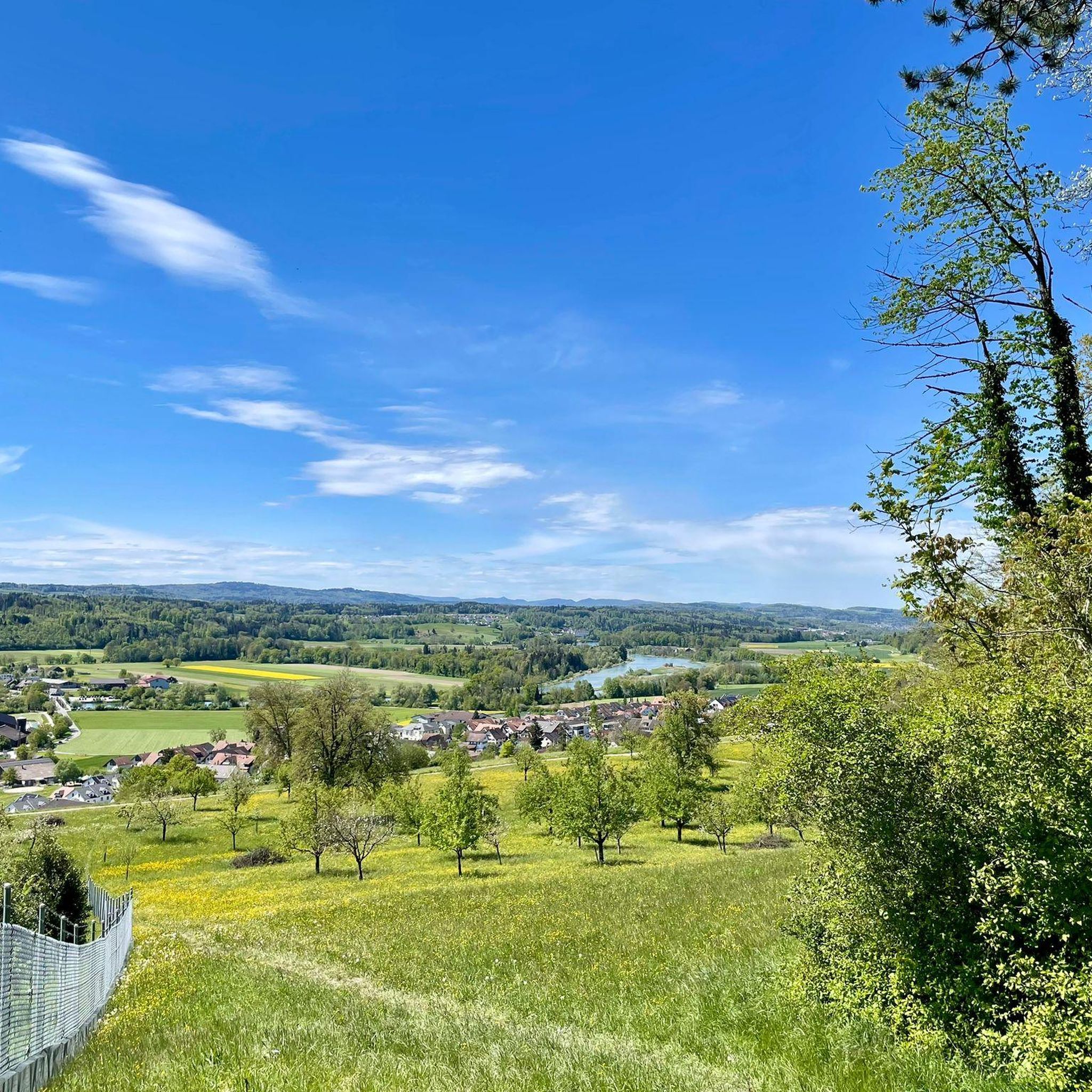
Hiking around Oberlunkhofen offers routes through varied landscapes, primarily characterized by the Flachsee Nature Reserve and the Reuss River valley. The area features gentle terrain with low elevation gains, making it accessible for many hikers. Trails often follow riverside paths and lakeside loops, providing opportunities to observe local wildlife and natural features. The region's hiking trails are generally well-maintained and suitable for exploring the local environment.
Best hiking trails around Oberlunkhofen
- The most popular hiking route is Flachsee Nature Reserve…
Last updated: August 21, 2026
4.6
(15)
68
hikers
Moderate hike. Good fitness required. Easily-accessible paths. Suitable for all skill levels.
11
hikers
8.43km
02:14
80m
80m
Moderate hike. Good fitness required. Easily-accessible paths. Suitable for all skill levels.

Sign up for free
5.0
(3)
10
hikers
Easy hike. Great for any fitness level. Easily-accessible paths. Suitable for all skill levels.
3
hikers
Moderate hike. Good fitness required. Easily-accessible paths. Suitable for all skill levels.
5
hikers
10.2km
02:41
100m
100m
Moderate hike. Good fitness required. Easily-accessible paths. Suitable for all skill levels.
Get access to more routes and recommendations from other explorers.
Sign up for free
Already have an account?
Our route recommendations are based on thousands of hikes, rides, and runs completed by other people on komoot.
Start today with a free account
Your next adventure awaits.
Login or Signup
Tips from the Community

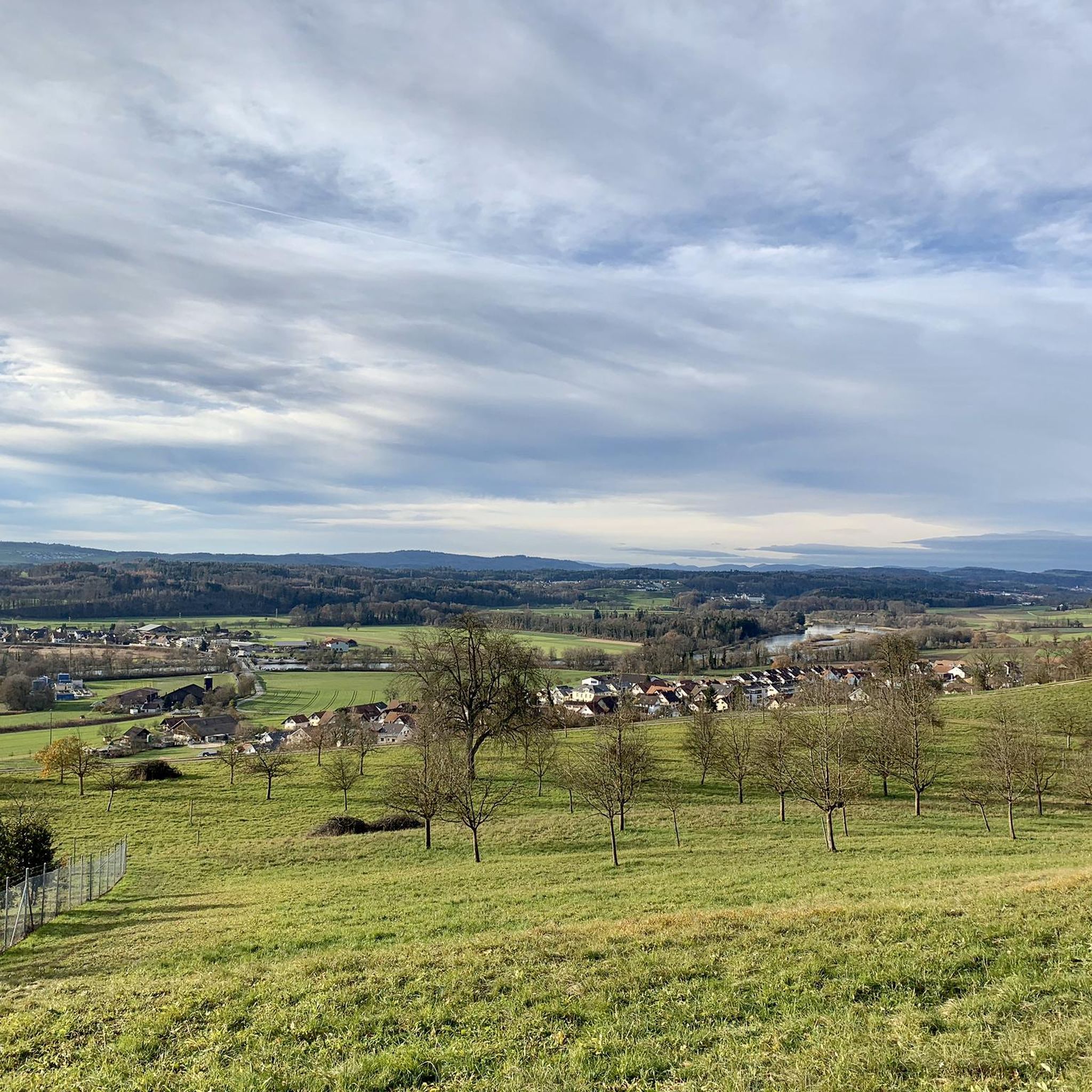
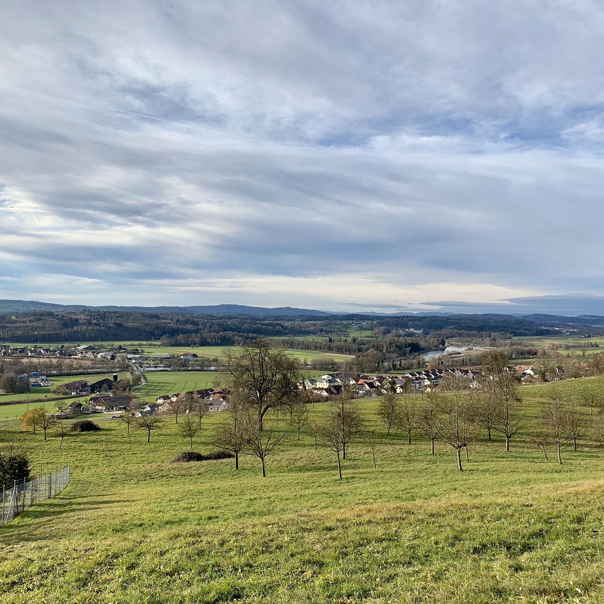
On both sides of the Reuss bridge, there are many free parking spaces that can be used as a starting point for hikes or bike tours. Directly at the Reuss bridge, there is also the restaurant "Hecht" where you can indulge in culinary delights.
0
0
Here a jetty leads to a bird watching stand. It is a wooden hut on a jetty, with seating facilities to linger and observe birds at the same time.
0
0

Yesterday, through a highly magnified pair of binoculars on one of these islands, I was able to observe five cormorants in close harmony: Magnificent! The birdlife here is truly diverse - a magnifying glass is actually a must. But the photos stored here by Komoot users are also great in this highlight - especially the photo of the kingfisher, which I unfortunately haven't had the chance to see yet...
0
0

Very exciting! Very informative!
0
0

Kloster Hermetschwil Kloster Hermetschwil Infos Facts Map The Benedictine convent of St. Martin is located in Freiamt. Founded in 1082, the monastery complex is one of the most impressive cultural sites in the region.
2
0

large parking lot with toilets and restaurant
1
0

This is a river crossing, Dominilochsteg, a wooden bridge that was built for pedestrians and cyclists to cross the Reuss. It was built in 1988. It is made of spruce wood and rests on concrete pillars. It is used very often by many people. A very nice photo opportunity.
1
0
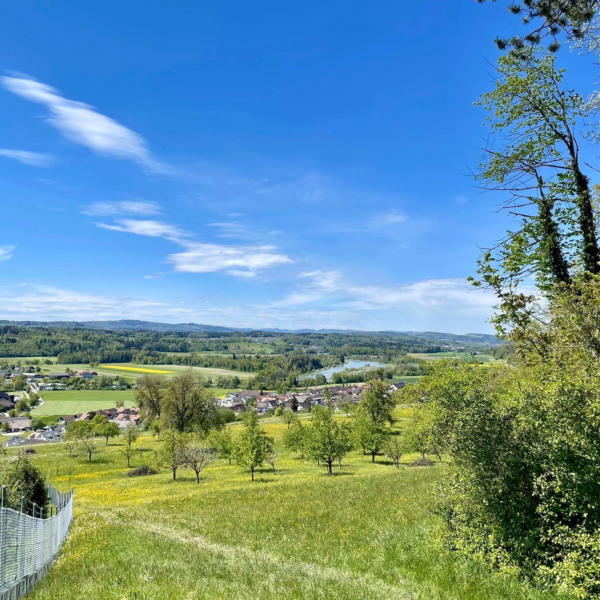
Always nice moments to stop on the jetty and enjoy the beautiful view of the Reuss and the monastery.
1
0
Frequently Asked Questions
How many hiking trails are there in Oberlunkhofen?
Oberlunkhofen offers a selection of over 15 hiking routes. These trails cater to various preferences, with 10 routes classified as easy and 5 as moderate.
What kind of terrain can I expect on hikes around Oberlunkhofen?
The hiking trails around Oberlunkhofen primarily feature gentle terrain with low elevation gains. You can expect varied landscapes, often following riverside paths along the Reuss River and lakeside loops around the Flachsee Nature Reserve.
Are there any easy hiking trails suitable for beginners in Oberlunkhofen?
Yes, Oberlunkhofen has 10 easy hiking routes, making it very suitable for beginners or those looking for a relaxed walk. An example is the Aargau Animal Enclosure – View of Flachsee loop from Oberlunkhofen, which is 1.5 miles (2.5 km) long and takes about 40 minutes.
Can I find circular hiking routes in Oberlunkhofen?
Many of the trails in Oberlunkhofen are designed as circular routes, allowing you to start and end at the same point. Examples include the Flachsee Nature Reserve – Hermetschwil Abbey loop from Oberlunkhofen and the Reuss River Picnic Area – Reuss Bridge loop from Oberlunkhofen.
Are there family-friendly hiking options around Oberlunkhofen?
The gentle terrain and low elevation gains make many of Oberlunkhofen's trails suitable for families. Routes that pass by the Flachsee Nature Reserve or the Aargau Animal Enclosure, like the Aargau Animal Enclosure – View of Flachsee loop from Oberlunkhofen, are particularly popular with families.
Are dogs allowed on the hiking trails in Oberlunkhofen?
Generally, dogs are welcome on hiking trails in the Oberlunkhofen area, especially on paths through natural reserves and along the river. It's always recommended to keep dogs on a leash, particularly in nature protection zones like the Flachsee Nature Reserve, to protect local wildlife.
What natural features or landmarks can I see while hiking near Oberlunkhofen?
While hiking, you can explore the Flachsee, a significant lake and nature reserve, and the Reuss River valley. Other natural highlights in the broader region include Lake Türler and the Highest Point of Lindenberg (681 m). You might also encounter historical sites like the Kindhausen Castle Ruins.
What is the best time of year to go hiking in Oberlunkhofen?
The best time to hike in Oberlunkhofen is typically from spring through autumn (April to October). During these months, the weather is generally pleasant, and the natural landscapes, especially around the Flachsee and Reuss River, are at their most vibrant. Winter hiking is also possible, but some paths might be muddy or icy.
Are there options for winter hiking in Oberlunkhofen?
Yes, winter hiking is possible in Oberlunkhofen, especially on the well-maintained paths along the Reuss River and around the Flachsee. The gentle terrain means trails are less prone to heavy snow, though conditions can be muddy or icy. Always check local weather and trail conditions before heading out.
How can I get to the hiking trails in Oberlunkhofen using public transport?
Oberlunkhofen is accessible by public transport, primarily by bus services that connect to larger train stations in the region. Check local bus schedules to plan your journey to trailheads. Many routes, being circular, often start and end near the village center or accessible bus stops.
Are there any places to stop for refreshments or food along the trails?
While specific cafes directly on every trail might be limited, Oberlunkhofen village itself offers options for refreshments. Many routes, such as the Reuss River Picnic Area – Reuss Bridge loop from Oberlunkhofen, also feature designated picnic areas where you can enjoy your own packed food amidst nature.
What do other hikers say about the trails in Oberlunkhofen?
The trails in Oberlunkhofen are highly regarded by the komoot community, boasting an average rating of 4.6 stars from over 2,200 reviews. Hikers frequently praise the well-maintained paths, the peaceful atmosphere of the nature reserves, and the scenic views along the Reuss River and Flachsee.
Are there any challenging hikes for experienced hikers near Oberlunkhofen?
The trails directly around Oberlunkhofen are generally easy to moderate, characterized by gentle terrain and low elevation. For more challenging hikes, experienced hikers might need to venture slightly further into the surrounding Aargau region, where more significant elevation gains can be found.
Where can I find parking for hiking trails in Oberlunkhofen?
Parking is generally available in and around Oberlunkhofen village, often near public facilities or designated parking areas for visitors. For specific trailheads, it's advisable to check local signage or use navigation apps to locate the most convenient parking spots.
Most popular routes around Oberlunkhofen
Most popular attractions around Oberlunkhofen

Get inspired with the komoot mobile app


Explore more
Browse the best Hikes in other regions.
