The best mountain hikes around Oberlunkhofen
5.0
(3)
18
hikers
3
hikes
Mountaineering routes around Oberlunkhofen are characterized by forested hills and elevated viewpoints offering panoramic vistas of the surrounding landscape. The region, situated near the Uetliberg, features a mix of natural trails and paths leading to historical sites. Terrain primarily consists of moderate ascents and descents through woodlands, providing accessible challenges for mountaineers.
Best mountaineering routes around Oberlunkhofen
- The most popular mountaineering route is Uetliberg Viewing Terrace – Uetliberg loop from Zürich Triemli, a 4.3 miles (6.9 km) trail that…
Last updated: August 18, 2026
5.0
(2)
13
hikers
6.79km
02:18
370m
370m
Moderate mountaineering route. Good fitness required. Easily-accessible paths. Suitable for all skill levels.
5.0
(1)
4
hikers
Moderate mountaineering route. Good fitness required. Mostly accessible paths. Sure-footedness required.

Sign up for free
1
hikers
6.29km
02:12
340m
340m
Moderate mountaineering route. Good fitness required. Mostly accessible paths. Sure-footedness required.
Our route recommendations are based on thousands of hikes, rides, and runs completed by other people on komoot.
Start today with a free account
Your next adventure awaits.
Login or Signup
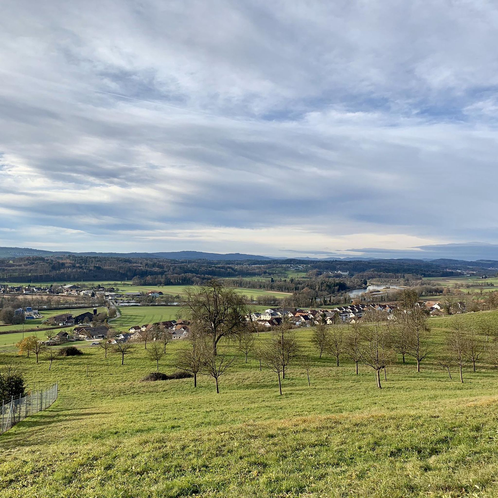
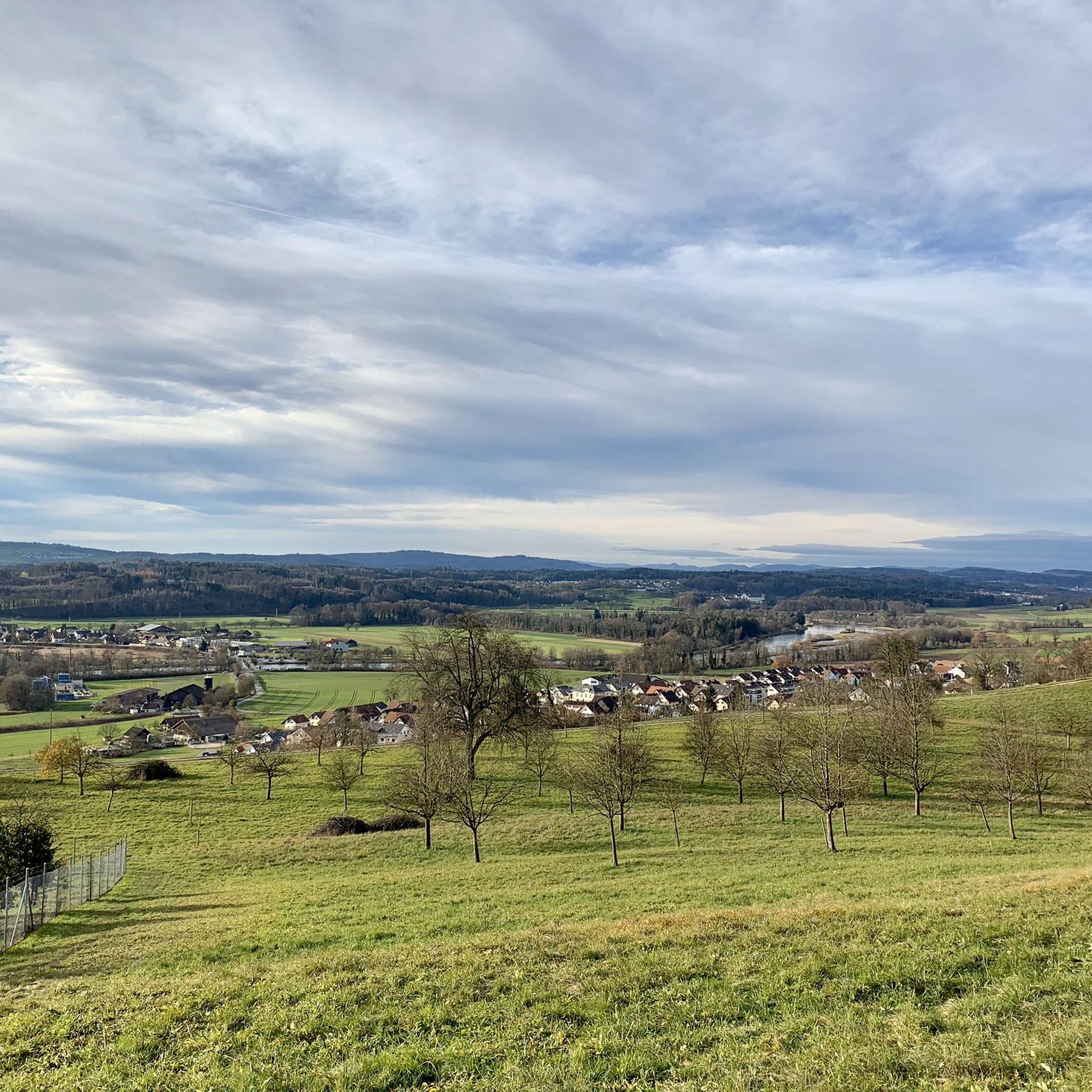
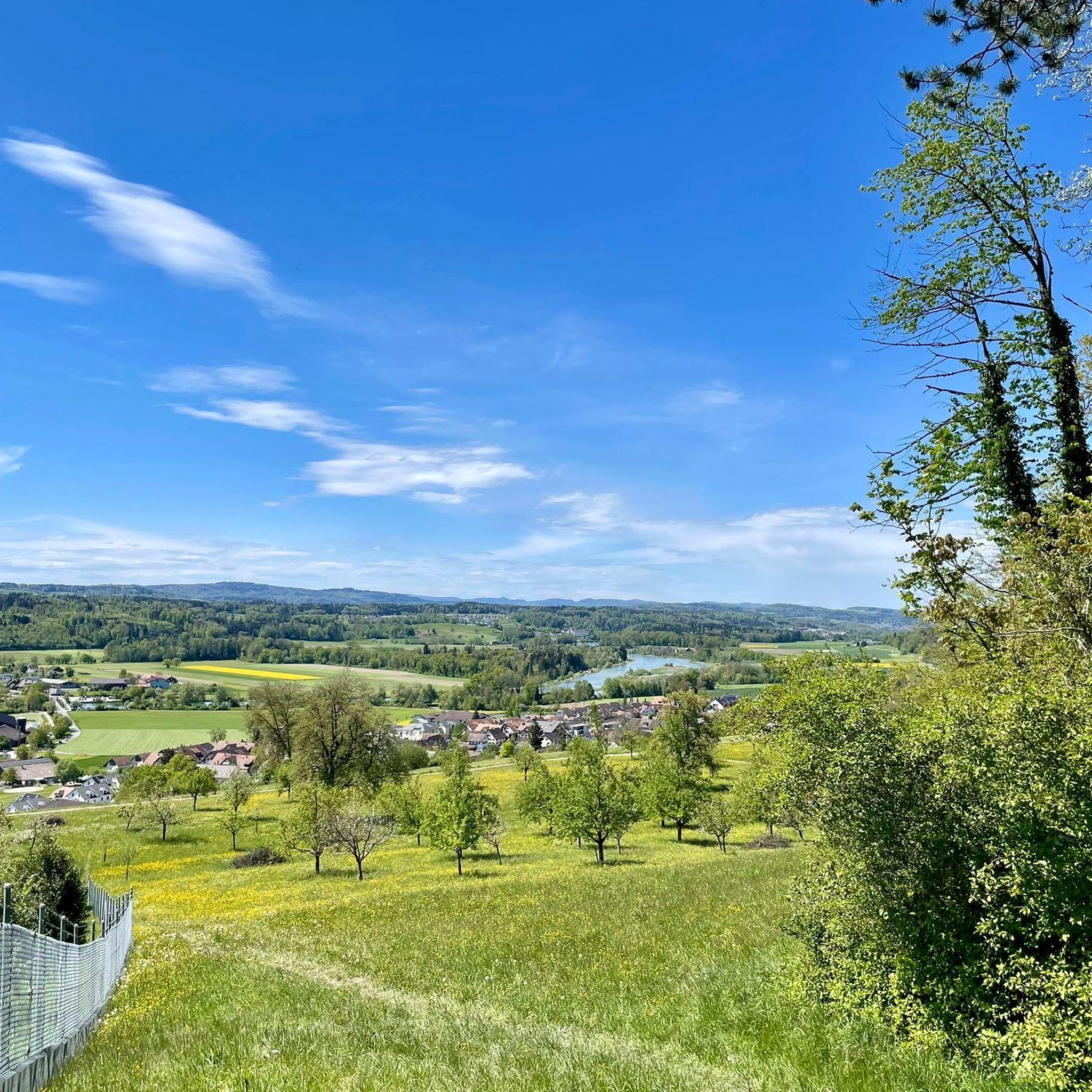
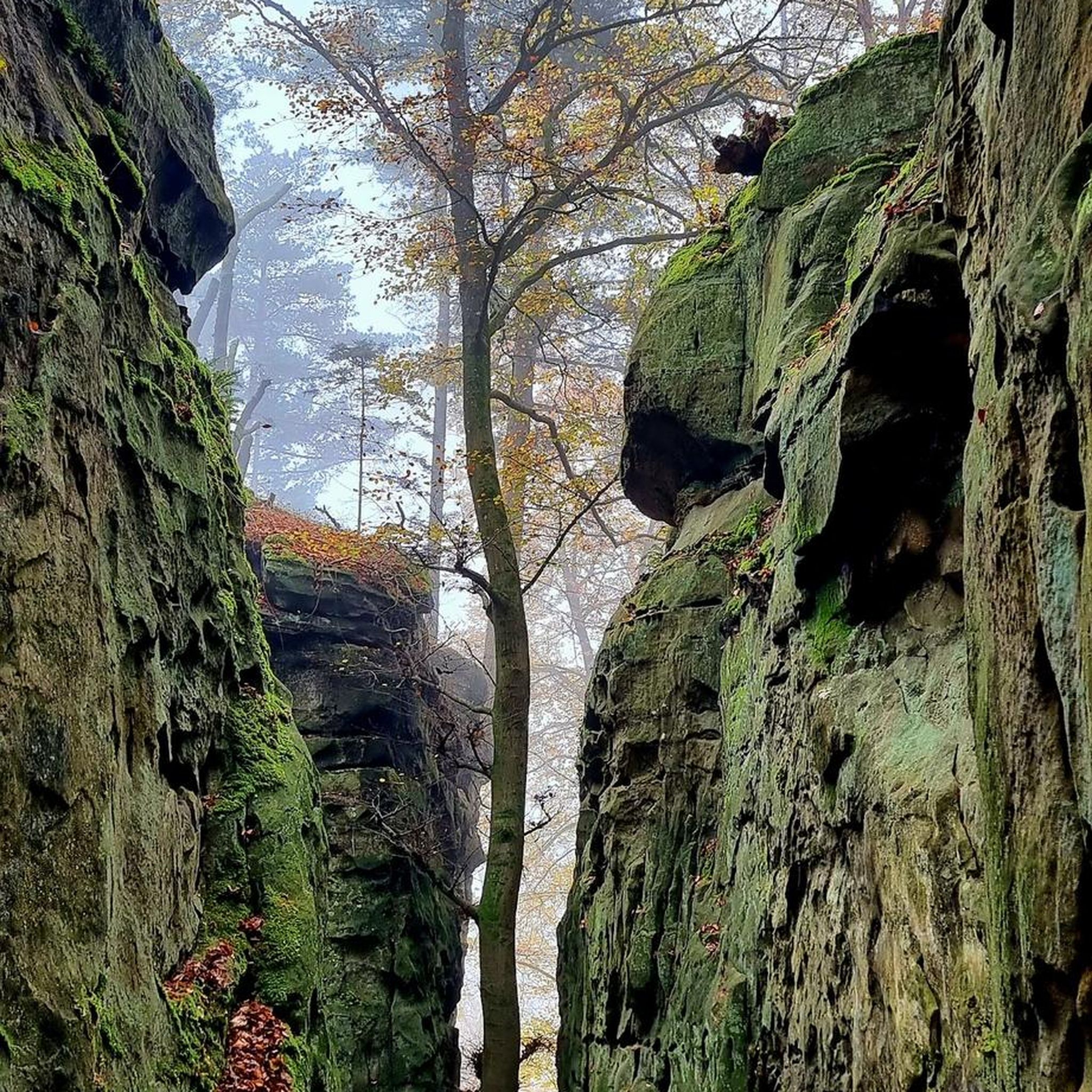
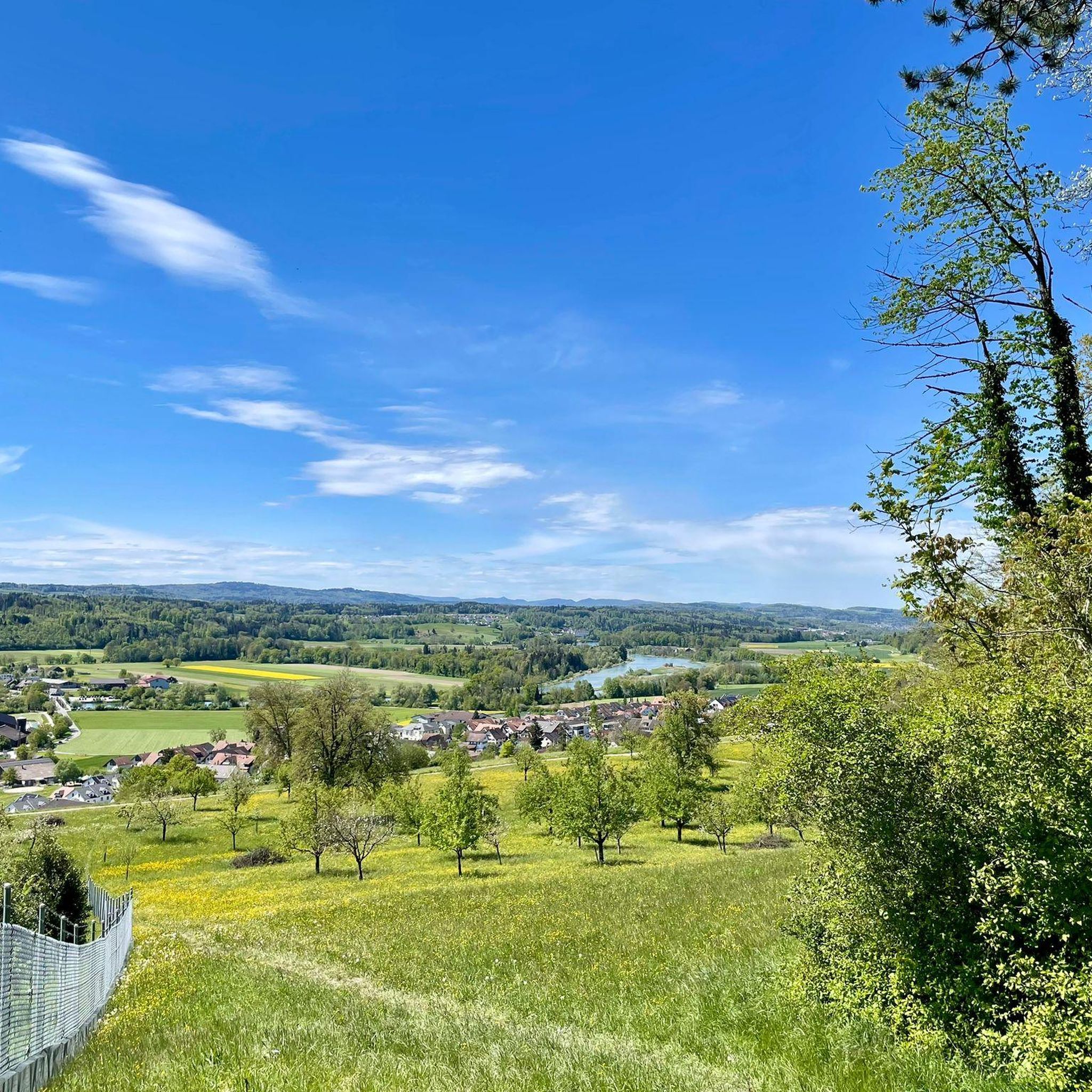
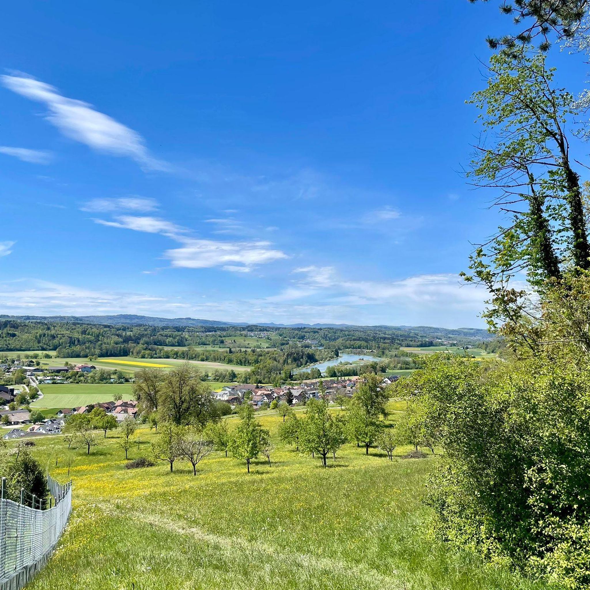
Tips from the Community

There are two pre-installed BBQ spots with grill fire pits, some tables and a fresh water fountain next to the playground.
0
0

Looks more like a cemetery. But there used to be tables and benches.
0
0

Alas, snack bar seems to be no longer open. Also, I think this is not a cemetery; what appear to be headstones are the supports for tables no longer in use.
1
0

You can jog or hike under the transmission tower. A beautiful section of forest.
0
0

Spring water for the city has been bubbling here since 1493.
0
0

Very exciting landscape in every season. Great views to enjoy.
1
0

There is no better way to train for an uphill run near Zurich. The principle is simple. Climb a little over 300 meters of positive elevation gain on fairly steep slopes to reach this wooded ridge. The trees sometimes offer a beautiful view of the lake and the city.
0
0
Frequently Asked Questions
What is the typical difficulty level of mountaineering routes near Oberlunkhofen?
All listed mountaineering routes around Oberlunkhofen are rated as moderate. They offer accessible challenges with steady ascents and descents through forested terrain, making them suitable for those with a reasonable level of fitness.
Are there any family-friendly mountaineering options around Oberlunkhofen?
The mountaineering routes near Oberlunkhofen, such as the Uetliberg Viewing Terrace – Uetliberg loop from Zürich Triemli, are generally moderate in difficulty. While not specifically designated as 'family-friendly,' their moderate nature and well-maintained paths through woodlands can be suitable for families with older children who are accustomed to hiking.
Can I bring my dog on the mountaineering trails in Oberlunkhofen?
Many of the trails in the Oberlunkhofen region, including the forested paths leading to viewpoints, are generally dog-friendly. However, it's always advisable to keep your dog on a leash, especially in areas with wildlife or near other hikers, and to check local regulations for specific routes or nature reserves.
Are there any circular mountaineering routes in the area?
Yes, all the featured mountaineering routes around Oberlunkhofen are circular. For example, you can enjoy the Uetliberg Transmission Tower – Uetliberg Summit Viewpoint loop from Wiedikon, which takes you through forested slopes to the Uetliberg summit viewpoint and back.
What kind of scenic viewpoints can I expect on these routes?
The region is known for its elevated viewpoints offering panoramic vistas. The Uetliberg Summit Viewpoint and the Uetliberg Observation Tower are prominent features, providing expansive views of the surrounding landscape and even the city of Zürich.
Are there any historical sites or landmarks to explore along the mountaineering routes?
Yes, the routes often lead through areas with historical significance. For instance, the Ruine Manegg loop from Adliswil takes you through forested hills to historical ruins. Other nearby historical sites include the Kindhausen Castle Ruins and Friesenberg Castle Ruins.
What is the best time of year for mountaineering around Oberlunkhofen?
The forested hills and moderate terrain make mountaineering around Oberlunkhofen enjoyable for much of the year. Spring and autumn offer pleasant temperatures and beautiful foliage, while summer provides longer daylight hours. Winter can also be an option, though conditions may require appropriate gear for snow or ice.
Are there places to eat or drink along the mountaineering trails?
The Uetliberg area, which features prominently in routes near Oberlunkhofen, is home to the Uto Kulm Restaurant located near the observation tower. This provides an opportunity for refreshments or a meal during your mountaineering trip.
What are the typical distances and elevation gains for routes in this area?
The mountaineering routes around Oberlunkhofen generally range from approximately 6.4 km to 6.9 km in distance. Elevation gains are typically between 330 meters and 370 meters, offering a good workout without being overly strenuous.
How do other mountaineers rate the trails around Oberlunkhofen?
The mountaineering routes in Oberlunkhofen are highly rated by the komoot community, with an average score of 5.0 stars from 3 reviews. Users often praise the well-maintained paths, the beautiful forested scenery, and the rewarding panoramic views from elevated points like the Uetliberg.
Is public transport available to access the mountaineering routes?
Many routes in the broader Uetliberg area, which borders Oberlunkhofen, are accessible by public transport. For example, the Uetliberg Viewing Terrace – Uetliberg loop starts from Zürich Triemli, which is well-connected by public transport.
Are there any lakes or natural water features along the trails?
While the immediate routes focus on forested hills, the wider region around Oberlunkhofen features natural water bodies. Notable nearby lakes include Lake Türler and Egelsee, which can be explored as separate excursions or combined with shorter walks.
Most popular routes around Oberlunkhofen
Most popular attractions around Oberlunkhofen

Get inspired with the komoot mobile app


Explore more
Browse the best Mountain Hikes & Routes in other regions.
