The best traffic-free bike rides around Area C (Pemberton Valley/Mount Currie/D'Arcy)
4.1
(76)
1,687
riders
13
rides
No traffic touring cycling routes around Area C (Pemberton Valley/Mount Currie/D'Arcy) traverse a landscape dominated by the prominent Mount Currie and the fertile Pemberton Valley. The region is characterized by a network of trails, including sections of the Sea to Sky Trail, offering varied terrain from packed gravel to paved paths. Cyclists can explore areas around D'Arcy and Anderson Lake, as well as the Green River wetlands. This diverse environment provides a range of experiences for touring cyclists seeking routes away from vehicle traffic.
Best no traffic touring cycling routes around Area C (Pemberton Valley/Mount Currie/D'Arcy)
- The most popular no traffic touring cycling route is Rainbow Falls Trailhead – Elephant Bridge loop from Whistler Station, a 19.8 miles (31.8 km) trail that takes 2 hours 14 minutes to complete. This route features moderate elevation gain and offers diverse scenery.
- Another top favourite among local touring cyclists is Lost Lake Beach – Lost Lake loop from Whistler, a moderate 12.8 miles (20.6 km) path. This trail winds through forested areas and around the lake, providing scenic views.
- Local touring cyclists also love the Lost Lake Beach – Lost Lake loop from Rainbow Estates, a 12.9 miles (20.7 km) trail leading through varied terrain, often completed in about 1 hour 27 minutes.
- Touring cycling around Area C (Pemberton Valley/Mount Currie/D'Arcy) is defined by the majestic Mount Currie, the expansive Pemberton Valley, and sections of the Sea to Sky Trail. The network offers options for different ability levels, from easy loops to more challenging routes with significant elevation.
- The routes in Area C (Pemberton Valley/Mount Currie/D'Arcy) are highly rated by the komoot community with an average score of 4.4 stars from over 50 reviews. More than 1500 touring cyclists have used komoot to explore Area C (Pemberton Valley/Mount Currie/D'Arcy)'s varied terrain.
Last updated: October 10, 2026
4.8
(28)
354
riders
31.2km
02:11
400m
400m
Moderate bike ride. Good fitness required. Mostly paved surfaces. Suitable for all skill levels.
4.5
(2)
263
riders
21.0km
01:50
250m
250m
Moderate bike ride. Good fitness required. Mostly paved surfaces. Suitable for all skill levels.

4.6
(9)
193
riders
20.6km
01:26
190m
190m
Moderate bike ride. Good fitness required. Mostly paved surfaces. Suitable for all skill levels.
4.9
(7)
65
riders
15.9km
00:59
120m
120m
Easy bike ride. Great for any fitness level. Mostly paved surfaces. Suitable for all skill levels.
5.0
(1)
46
riders
39.5km
03:14
500m
500m
Hard bike ride. Very good fitness required. Mostly paved surfaces. Suitable for all skill levels.
Get access to more routes and recommendations from other explorers.
Already have an account?
Our route recommendations are based on thousands of hikes, rides, and runs completed by other people on komoot.
Start today with a free account
Your next adventure awaits.
Popular around Area C (Pemberton Valley/Mount Currie/D'Arcy)
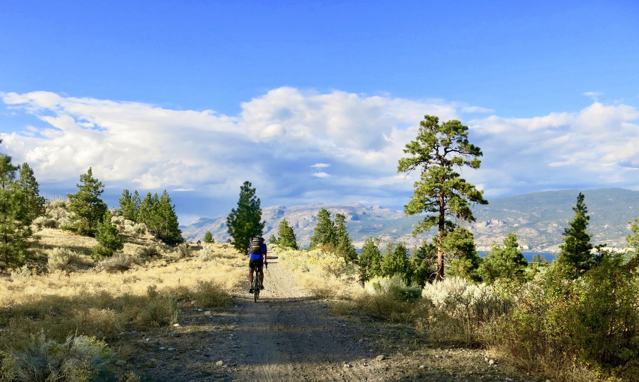
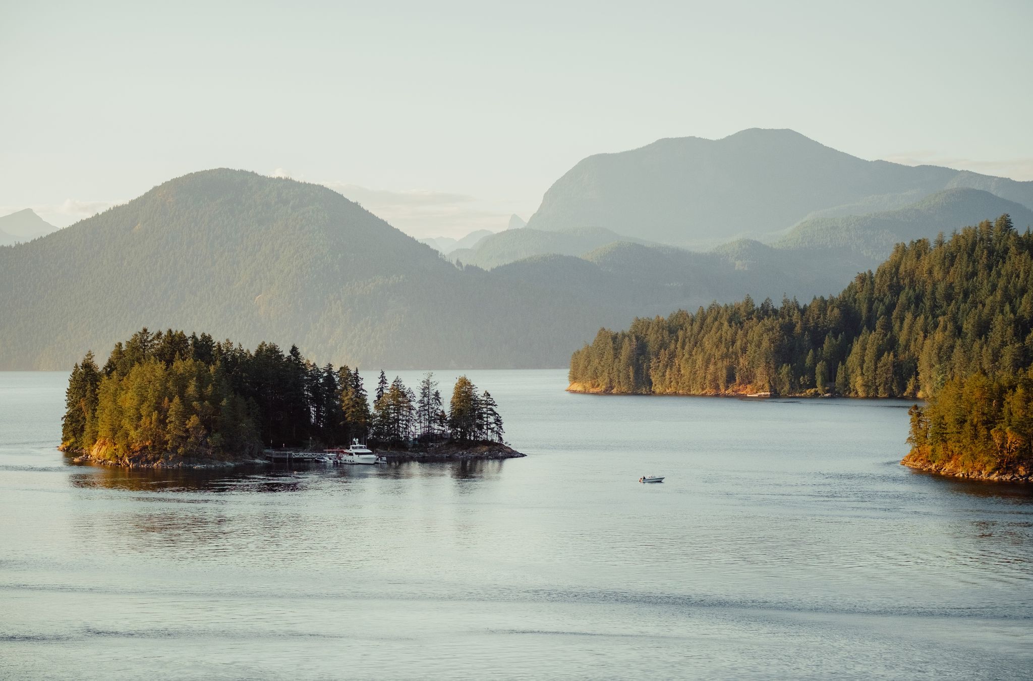
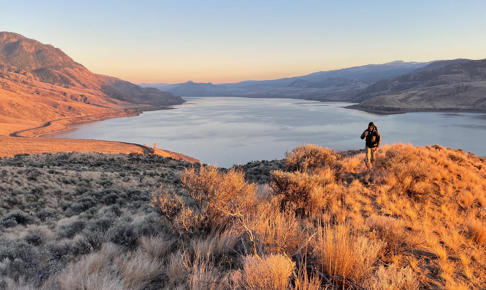
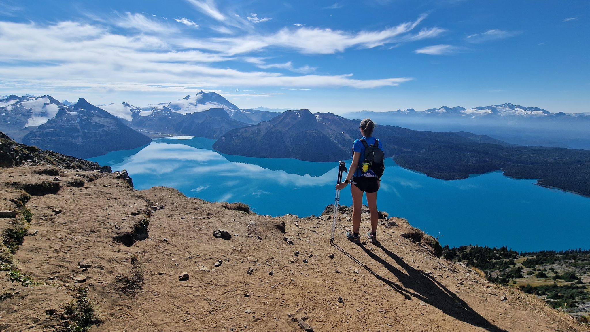
Other adventures around Area C (Pemberton Valley/Mount Currie/D'Arcy)


Tips from the Community

Lost Lake Beach is part of Lost Lake Park, with a sandy beach bordered by a grassy lawn. Swimming is allowed, but it will be refreshing! Other amenities the park has to offer include picnic areas, BBQs, and restrooms as well as a parking area.
1
0
The Elephant Bridge spans 75 meters and is used by hikers and mountain bikers. The bridge was built in the 1940s to transport timber to a sawmill. Today, it's a scenic and historical site that still functions to transport people.
0
0


Tucked in the forest just outside Whistler Village, Lost Lake is a beautiful, quiet spot surrounded by tall evergreens and mountain views. It’s a popular spot for swimming and paddleboarding in summer, with trails around its perimeter perfect for hiking and biking. In winter, the area transforms into a snowy network of cross-country ski and snowshoe trails, offering a quiet escape just minutes from town.
1
0

The lakes around Whistler, Alta Lake, Nita Lake, and Lost Lake, aren't that great to look at: swimming lakes, built-up areas, etc. Canada has something completely different to offer.
0
0

Lakeside Park is located on the southeast shore of Alta Lake. During the summer months, the beach is used for swimming. https://www.whistler.ca/parks-recreation-culture/parks/lakeside-park/
2
0
Alta Lake was formed by glacial retreat and subsequent sediment deposition, creating depressions that filled with meltwater. Alta Lake and other nearby lakes, such as Green Lake, are part of a large watershed whose waters flow north to the Lillooet River and south to the Cheakamus River. Historically, water flowed both north and south from Alta Lake, which lies at the top of the pass. This natural dual drainage system of the lake ended with the arrival of settlers. https://fireandicegeoregion.ca/geosite/whistler-valley-lakes-and-watershed-divide/
2
0
Green Lake is the largest lake in the Whistler region. To the north, it is the source of the Green River, which drains into the Lillooet River. Green Lake was formed during the last Ice Age, when sediment was deposited in the U-shaped valley, forming lake basins. The lake's green color is due to the glacial silt of Fitzsimmons Creek. From the wooden boardwalk on the southwest shore, we have a magnificent view of the lake and the seaplane landing. In the background, we can see the peaks of the Garibaldi Range, from Wedge Mountain to Mount Currie, including Mount Weart with the Armchair Glacier. https://www.piquenewsmagazine.com/local-news/naturespeak-awesome-geology-sites-around-whistlergreen-lake-part-2-7576124
2
0
Frequently Asked Questions
How many no-traffic touring cycling routes are available in Area C (Pemberton Valley/Mount Currie/D'Arcy)?
There are over a dozen dedicated no-traffic touring cycling routes in Area C, offering a variety of experiences from easy loops to more challenging rides. You'll find routes suitable for different fitness levels and preferences.
Are there easy no-traffic touring cycling routes suitable for beginners or families in this region?
Yes, Area C offers several easy no-traffic touring cycling routes perfect for beginners and families. For instance, the Nita Lake – Alta Lake loop from Whistler Station is an easy option, providing a gentle ride with scenic views. The Pemberton Valley also features relatively flat sections, like parts of the Pemberton Meadows Road, which are suitable for intermediate riders and can be very low-traffic, especially during events like the 'Slow Food Ride'.
What kind of terrain can I expect on the no-traffic touring cycling routes in Area C?
The terrain varies significantly across Area C's no-traffic routes. You can expect a mix of well-maintained gravel paths and paved sections, particularly along the Sea to Sky Trail. The Pemberton Valley offers flatter, agricultural landscapes, while routes closer to Mount Currie or D'Arcy might include rolling hills and more rugged sections, some with significant climbs. Always check individual route details for specific terrain information.
What are some notable natural attractions or viewpoints along these no-traffic cycling routes?
Area C is rich with natural beauty. You can cycle past stunning features like Nairn Falls, where the Green River thunders into a canyon, or the impressive Brandywine Falls. Many routes offer breathtaking views of Mount Currie, which dominates the valley skyline. The Pemberton Wetlands Wildlife Management Area also provides opportunities for wildlife viewing.
Are there any circular no-traffic touring cycling routes in Area C?
Yes, there are several circular routes designed for touring cyclists seeking no-traffic experiences. The Lost Lake Beach – Lost Lake loop from Whistler and the Lost Lake Beach – Lost Lake loop from Rainbow Estates are excellent examples, offering scenic loops around the lake. These routes are great for enjoying the natural surroundings without retracing your steps.
What is the best time of year to go touring cycling in Area C?
The best time for touring cycling in Area C is generally from late spring through early autumn (May to October). During these months, the weather is typically mild, and most trails are clear of snow. Summer offers the warmest temperatures, but spring and fall provide cooler rides and vibrant scenery. Some paved sections, like parts of the Pemberton Highway 99 Trail, are maintained year-round, but winter cycling can be challenging due to snow and ice.
Are there any challenging no-traffic touring routes for experienced cyclists?
For experienced cyclists looking for a challenge, Area C does offer routes with significant elevation gain. The Brandywine Falls – Alta Lake loop from Whistler, for example, is rated as difficult and features over 500 meters of elevation gain, providing a rewarding workout amidst stunning scenery. Portions of the Sea to Sky Trail also include steep climbs that require good fitness.
Can I bring my dog on the no-traffic touring cycling routes?
Many outdoor areas in Area C are dog-friendly, but specific rules can vary by trail and park. It's always best to check the regulations for individual routes or parks before you go. Generally, dogs should be kept on a leash, and you should be prepared to clean up after them. Some multi-use trails are suitable for cycling with dogs, but always prioritize safety for your pet and other trail users.
What do other touring cyclists enjoy most about touring cycling in Area C (Pemberton Valley/Mount Currie/D'Arcy)?
The komoot community highly rates touring cycling in Area C, with an average score of 4.4 stars from 54 ratings. Reviewers often praise the stunning natural landscapes, the diversity of terrain from flat valley roads to challenging climbs, and the opportunity to explore quiet, no-traffic routes. The breathtaking views of Mount Currie and the well-maintained sections of the Sea to Sky Trail are frequently highlighted as favorites.
Are there options for public transport to access these cycling routes, especially with a bike?
Public transport options for accessing cycling routes with a bike in Area C can be limited, especially for reaching more remote no-traffic trails. While Whistler has some transit options, connecting to Pemberton or D'Arcy with a bike might require specific services or planning. It's advisable to research local bus services or shuttle options that accommodate bicycles if you plan to use public transport to reach your starting point.
Where can I find parking near the no-traffic touring cycling routes?
Parking availability varies depending on the specific trailhead or starting point. In more developed areas like Whistler, designated parking lots are available, though they can fill up quickly during peak season. For routes in the Pemberton Valley or near D'Arcy, you might find smaller parking areas or roadside parking. Always check local signage for parking restrictions and ensure your vehicle is not obstructing access or private property.
Most popular routes around Area C (Pemberton Valley/Mount Currie/D'Arcy)
Most popular attractions around Area C (Pemberton Valley/Mount Currie/D'Arcy)

Get inspired with the komoot mobile app


Explore more
Browse the best Cycling routes in other regions.
