The best running trails around Area C (Pemberton Valley/Mount Currie/D'Arcy)
4.7
(44)
1,894
runners
82
runs
Jogging routes around Area C (Pemberton Valley/Mount Currie/D'Arcy) traverse a diverse landscape characterized by the fertile Pemberton Valley, the towering presence of Mount Currie, and numerous lakes and rivers. The region, an electoral area within the Squamish-Lillooet Regional District, features a mix of riverside woods, active farmland, and mountainous vistas. Trails range from flat paths along dykes and roads to more challenging routes through forests and uneven terrain. This variety provides options for different running preferences and fitness levels.
Best…
Last updated: July 14, 2026
4.7
(11)
199
runners
10.4km
01:07
110m
110m
Moderate run. Good fitness required. Mostly paved surfaces. Suitable for all skill levels.
5.0
(3)
227
runners
17.7km
01:53
220m
220m
Hard run. Very good fitness required. Mostly paved surfaces. Suitable for all skill levels.

Sign up for free
4.6
(10)
189
runners
11.5km
01:12
110m
110m
Moderate run. Good fitness required. Mostly paved surfaces. Suitable for all skill levels.
5.0
(3)
127
runners
5.21km
00:33
40m
40m
Moderate run. Good fitness required. Mostly paved surfaces. Suitable for all skill levels.
5.0
(1)
64
runners
9.08km
00:57
80m
80m
Moderate run. Good fitness required. Mostly paved surfaces. Suitable for all skill levels.
Get access to more routes and recommendations from other explorers.
Sign up for free
Already have an account?
Our route recommendations are based on thousands of hikes, rides, and runs completed by other people on komoot.
Start today with a free account
Your next adventure awaits.
Login or Signup
Popular around Area C (Pemberton Valley/Mount Currie/D'Arcy)

Vancouver roundtrip — Bikepacking British Columbia

Pacific charm and peak happiness in British Columbia

Forests, desert, wilderness - day tours in British Columbia

Breathtaking British Columbia — hikes near Squamish & Whistler

MTB Road Trip Sea-to-Sky – dream trails in British Columbia
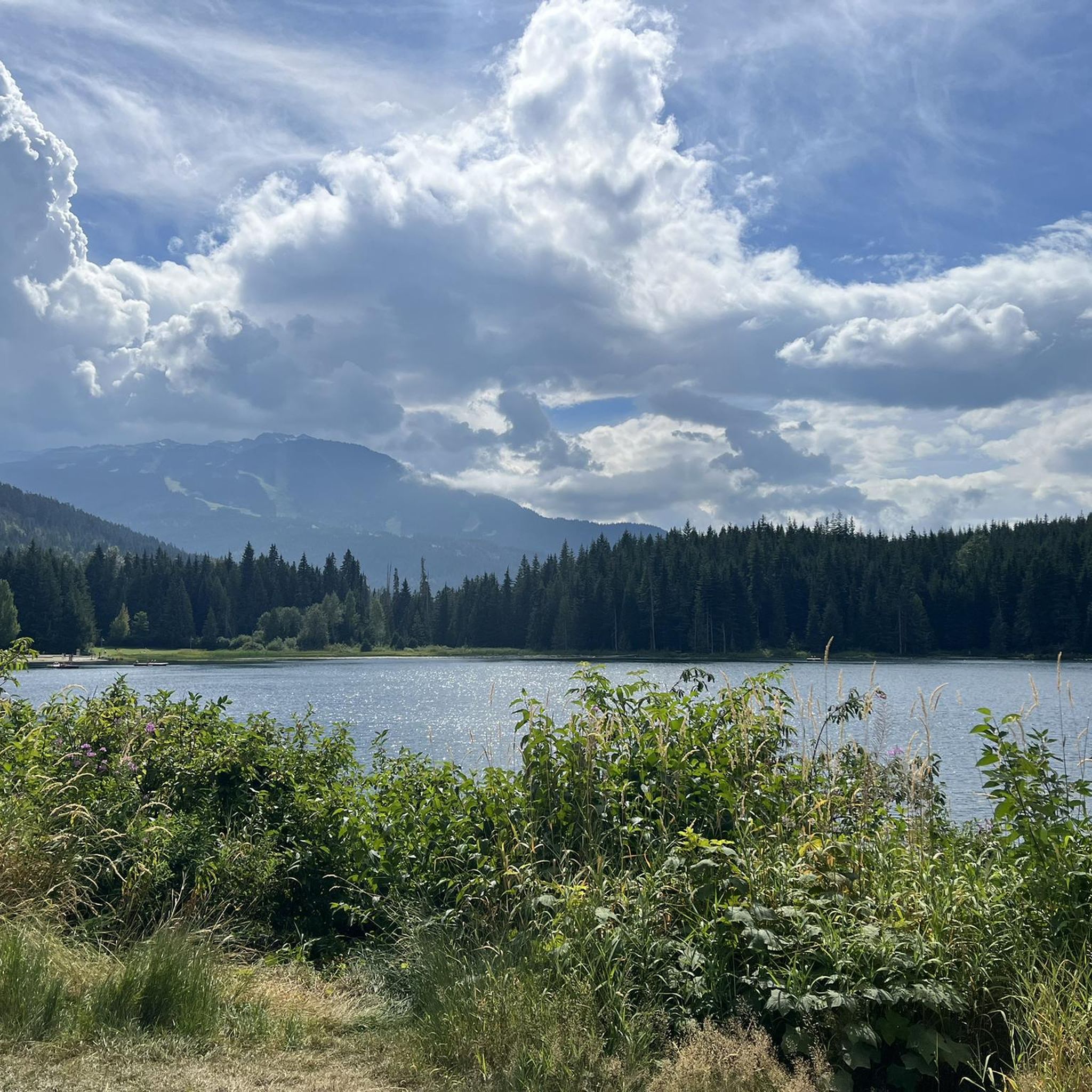
Hiking around Area C (Pemberton Valley/Mount Currie/D'Arcy)
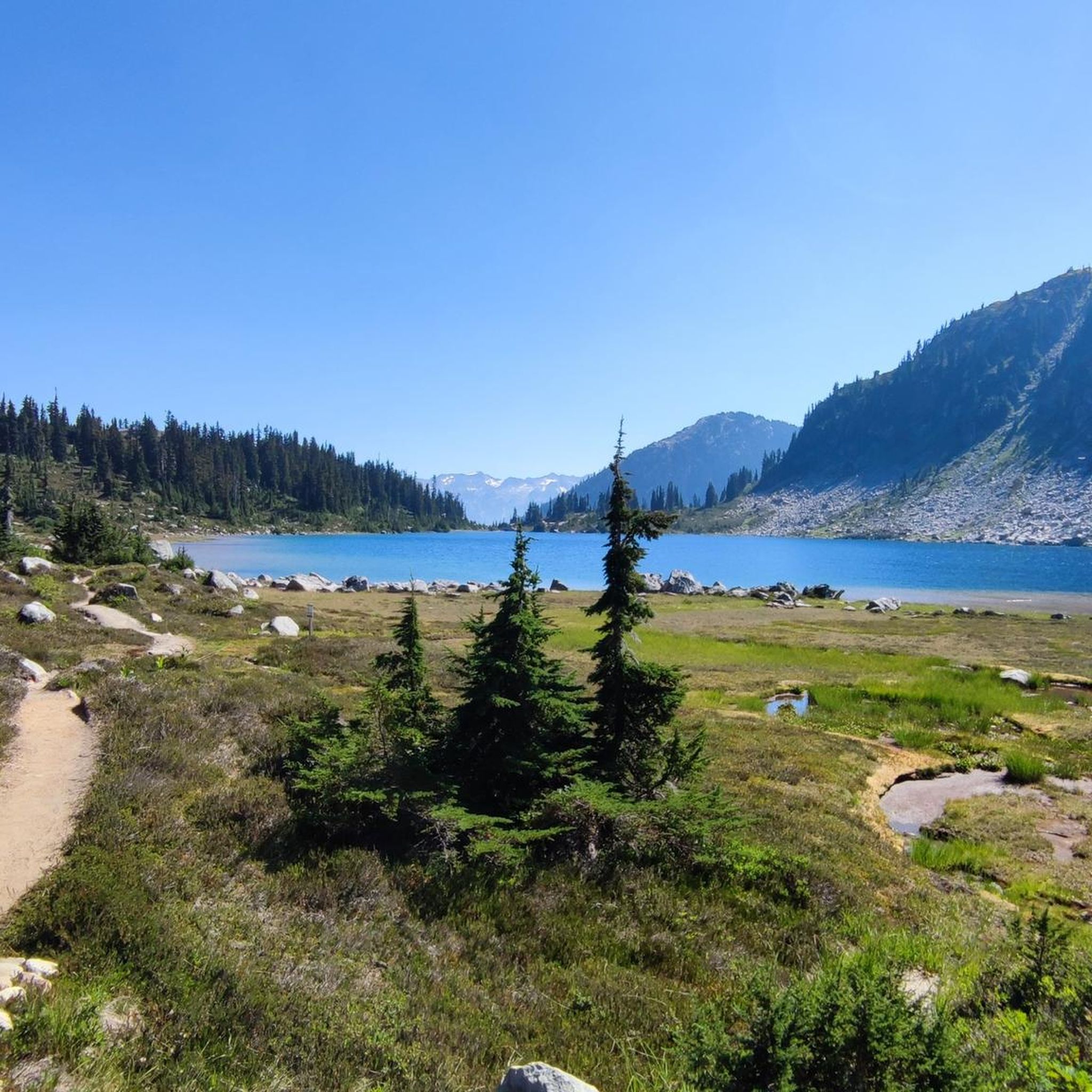
Cycling around Area C (Pemberton Valley/Mount Currie/D'Arcy)
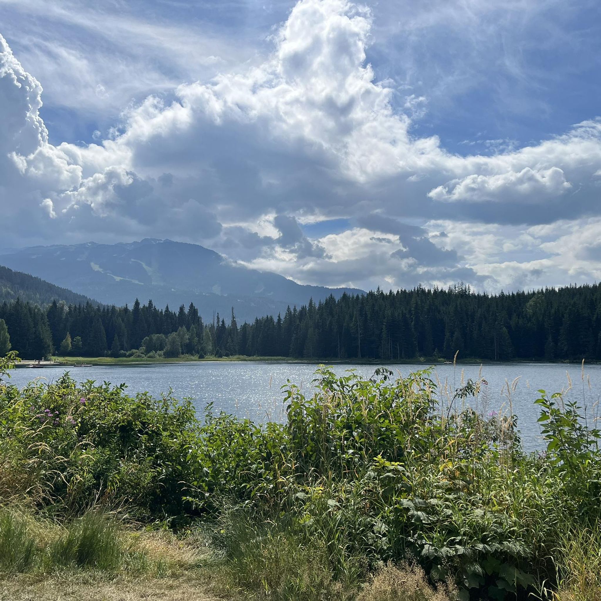
MTB Trails around Area C (Pemberton Valley/Mount Currie/D'Arcy)
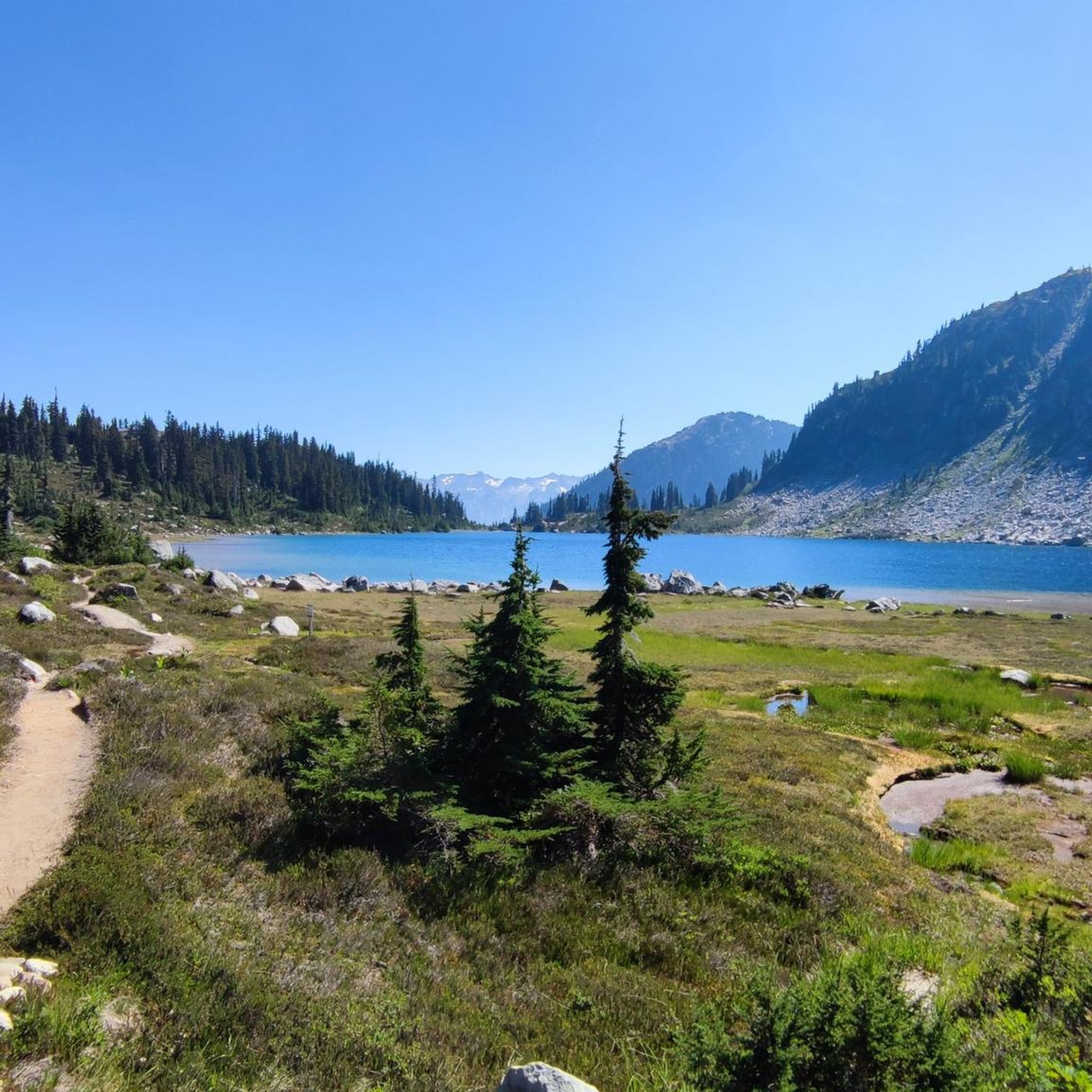
Road Cycling Routes around Area C (Pemberton Valley/Mount Currie/D'Arcy)
Other adventures around Area C (Pemberton Valley/Mount Currie/D'Arcy)


Tips from the Community

Lost Lake Beach is part of Lost Lake Park, with a sandy beach bordered by a grassy lawn. Swimming is allowed, but it will be refreshing! Other amenities the park has to offer include picnic areas, BBQs, and restrooms as well as a parking area.
1
0
The Elephant Bridge spans 75 meters and is used by hikers and mountain bikers. The bridge was built in the 1940s to transport timber to a sawmill. Today, it's a scenic and historical site that still functions to transport people.
0
0

Centennial Trail is a picturesque multi-use path that winds through a forested landscape and is a mix of gravel and natural surfaces. As it meanders through areas of varying tree density, it offers a peaceful escape and is a lovely contrast to some of the other crowded trails.
0
0

Beautiful place go swimming after some enduro riding.
0
0
Tucked in the forest just outside Whistler Village, Lost Lake is a beautiful, quiet spot surrounded by tall evergreens and mountain views. It’s a popular spot for swimming and paddleboarding in summer, with trails around its perimeter perfect for hiking and biking. In winter, the area transforms into a snowy network of cross-country ski and snowshoe trails, offering a quiet escape just minutes from town.
1
0

Lakeside Park is located on the southeast shore of Alta Lake. During the summer months, the beach is used for swimming. https://www.whistler.ca/parks-recreation-culture/parks/lakeside-park/
2
0
Alta Lake Park is the informal name for a section of land at the southwestern end of Alta Lake. The two Poet's Pause sculptures, "Lost in Sound" and "Lakeside Couple," are located here, as well as two wrecked vehicles along the forest trail.
2
0
Alta Lake was formed by glacial retreat and subsequent sediment deposition, creating depressions that filled with meltwater. Alta Lake and other nearby lakes, such as Green Lake, are part of a large watershed whose waters flow north to the Lillooet River and south to the Cheakamus River. Historically, water flowed both north and south from Alta Lake, which lies at the top of the pass. This natural dual drainage system of the lake ended with the arrival of settlers. https://fireandicegeoregion.ca/geosite/whistler-valley-lakes-and-watershed-divide/
2
0
Frequently Asked Questions
How many running routes are available in the Area C region, including Pemberton Valley, Mount Currie, and D'Arcy?
Komoot offers over 90 running routes throughout the broader Area C region, encompassing the stunning landscapes of Pemberton Valley, Mount Currie, and D'Arcy. These routes cater to various fitness levels, with options ranging from easy valley paths to more challenging mountain trails.
Are there any easy, family-friendly jogging trails in the Pemberton Valley?
Yes, the Pemberton Valley offers several excellent options for easy, family-friendly jogging. The Running loop from Whistler is a moderate 5.2 km trail that provides a pleasant experience. Additionally, the region research highlights the flat 7.5 km Pemberton Valley Loop Trail and the scenic 1-mile path around One Mile Lake, both ideal for a relaxed run or walk with family.
What kind of terrain can I expect on running routes near Mount Currie?
Running routes near Mount Currie often feature varied terrain, from the relatively flat paths in the valley with views of the mountain to more challenging trails that ascend through forests and offer uneven surfaces. For a more difficult experience, the Fitzimmons River Trail loop from Whistler, though a bit further afield, gives an idea of the kind of varied terrain and elevation gain you might encounter in the mountainous parts of the region.
Are there any circular running routes in the D'Arcy area or nearby?
Yes, the region offers several circular running routes. For example, the Alta Lake – Welcome Figure (2012) loop from Whistler is a moderate 10.4 km circular trail. The Pemberton Valley Loop Trail, mentioned in the region research, is also a popular 7.5 km circle route easily accessible from the Village of Pemberton, offering scenic views of the surrounding mountains and farmland.
What are some scenic attractions or landmarks I can see along jogging routes in Area C?
Jogging routes in Area C offer access to numerous scenic attractions. You can enjoy views of majestic Mount Currie, explore the fertile Pemberton Valley with its agricultural lands, or discover beautiful lakes. Notable highlights include the impressive Nairn Falls, the serene Lost Lake, and the stunning Lower Joffre Lake. Many trails also pass by rivers and through old-growth forests.
Are there any challenging running trails for experienced runners in the region?
Absolutely. For experienced runners seeking a challenge, the region provides difficult trails with significant elevation changes. The Lost Lake Loop loop from Alpine Meadows is a difficult 16.7 km route with over 220 meters of elevation gain. These types of trails often wind through rugged mountain terrain and offer a more strenuous workout.
What do other runners say about the jogging experience in Area C?
The jogging experience in Area C is highly regarded by the komoot community, with an average rating of 4.5 stars from over 40 reviews. Runners often praise the diverse landscapes, from peaceful valley paths to challenging mountain trails, and the stunning natural beauty, including views of Mount Currie and various lakes.
Are there any running routes that pass by lakes or offer water views?
Yes, many running routes in the Area C region feature beautiful lakes and water views. The Docks at Rainbow Park loop from Whistler Station, for instance, leads through scenic park areas with lake access. The region research also highlights the 1-mile path around One Mile Lake and the larger Lillooet Lake, both providing refreshing experiences and picturesque backdrops for a run.
What is the best time of year to go jogging in the Pemberton Valley and surrounding areas?
The Pemberton Valley and surrounding areas offer year-round outdoor opportunities. The warm, dry summers are ideal for enjoying the trails, while mild, snowy winters transform the area into a wonderland for activities like snowshoeing, which can also be adapted for winter trail running. Always check local conditions, especially for higher elevation trails, as seasonal closures or specific gear might be required.
Are there options for parking or public transport access to the running trails?
Access to running trails in the Area C region varies. Many popular trailheads, like those for the Pemberton Valley Loop Trail or One Mile Lake, typically have parking available. For trails further afield or within provincial parks like Joffre Lakes, it's advisable to check specific parking information and potential day pass requirements in advance. Public transport options might be limited outside of main towns like Pemberton, so planning your journey is recommended.
Can I bring my dog on the running trails in Area C?
Many trails in the Area C region are dog-friendly, but leash rules and specific regulations can vary by location, especially within provincial parks or protected areas. For instance, the One Mile Lake trail is generally welcoming to dogs. It's always best to check local signage or park regulations for the specific trail you plan to run to ensure a pleasant experience for both you and your dog.
Are there any trails that connect to the Sea to Sky Trail in the D'Arcy section?
Yes, the Sea to Sky Trail extends through the region, and sections like the Nairn Falls Connector are part of this network. While specific komoot routes directly in the D'Arcy section are not listed in the guide data, the region research indicates that the Sea to Sky Trail offers opportunities for jogging, providing a wide, gentle path to impressive natural features like Nairn Falls.
Most popular routes around Area C (Pemberton Valley/Mount Currie/D'Arcy)
Most popular attractions around Area C (Pemberton Valley/Mount Currie/D'Arcy)

Get inspired with the komoot mobile app


Explore more
Browse the best Running Trails & Routes in other regions.
