The best volcano hikes and walks around Isla De Hierro
4.5
(2448)
9,366
hikers
29
hikes
Volcano hiking trails around Isla De Hierro traverse a landscape shaped by volcanic activity, featuring dramatic cliffs, ancient craters, and extensive lava fields. The island, a UNESCO Biosphere Reserve and Geopark, offers a diverse terrain that includes lush pine and laurel forests contrasting with rugged volcanic rock formations. Hikers can explore a network of trails that lead through these varied environments, from coastal paths to higher elevations.
Best volcano hiking trails around Isla De Hierro
- The most popular volcano hiking…
Last updated: October 10, 2026
5.0
(1)
7
hikers
4.96km
01:45
280m
270m
Easy hike. Great for any fitness level. Easily-accessible paths. Suitable for all skill levels.
1
hikers
15.0km
05:06
710m
710m
Hard hike. Very good fitness required. Mostly accessible paths. Sure-footedness required.

3.0
(1)
1
hikers
4.59km
01:21
120m
120m
Moderate hike. Great for any fitness level. Mostly accessible paths. Sure-footedness required.
4.7
(9)
39
hikers
Hard hike. Good fitness required. Sure-footedness, sturdy shoes and alpine experience required.
4.7
(15)
61
hikers
Moderate hike. Good fitness required. Mostly accessible paths. Sure-footedness required.
Get access to more routes and recommendations from other explorers.
Already have an account?
Our route recommendations are based on thousands of hikes, rides, and runs completed by other people on komoot.
Start today with a free account
Your next adventure awaits.
Popular around Isla De Hierro

Volcano hikes in El Hierro
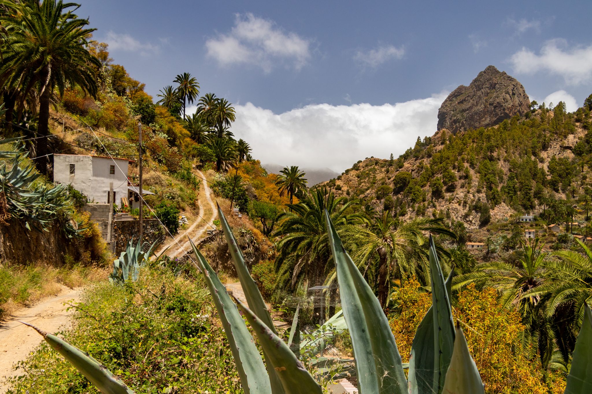
La Palma, El Hierro y La Gomera – explore the Canaries’ Green Islands on foot
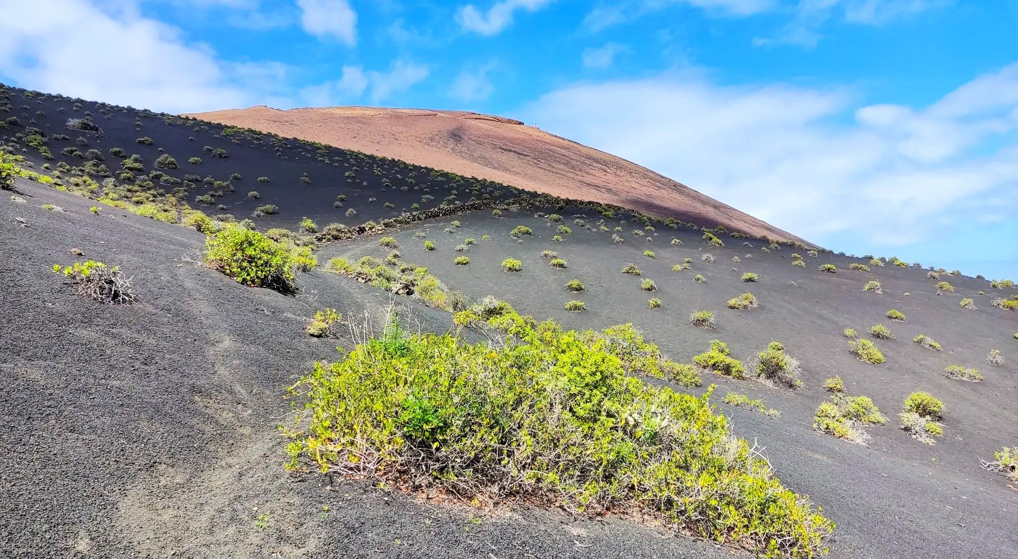
Canarian essence and traditional paths – El Hierro Loop
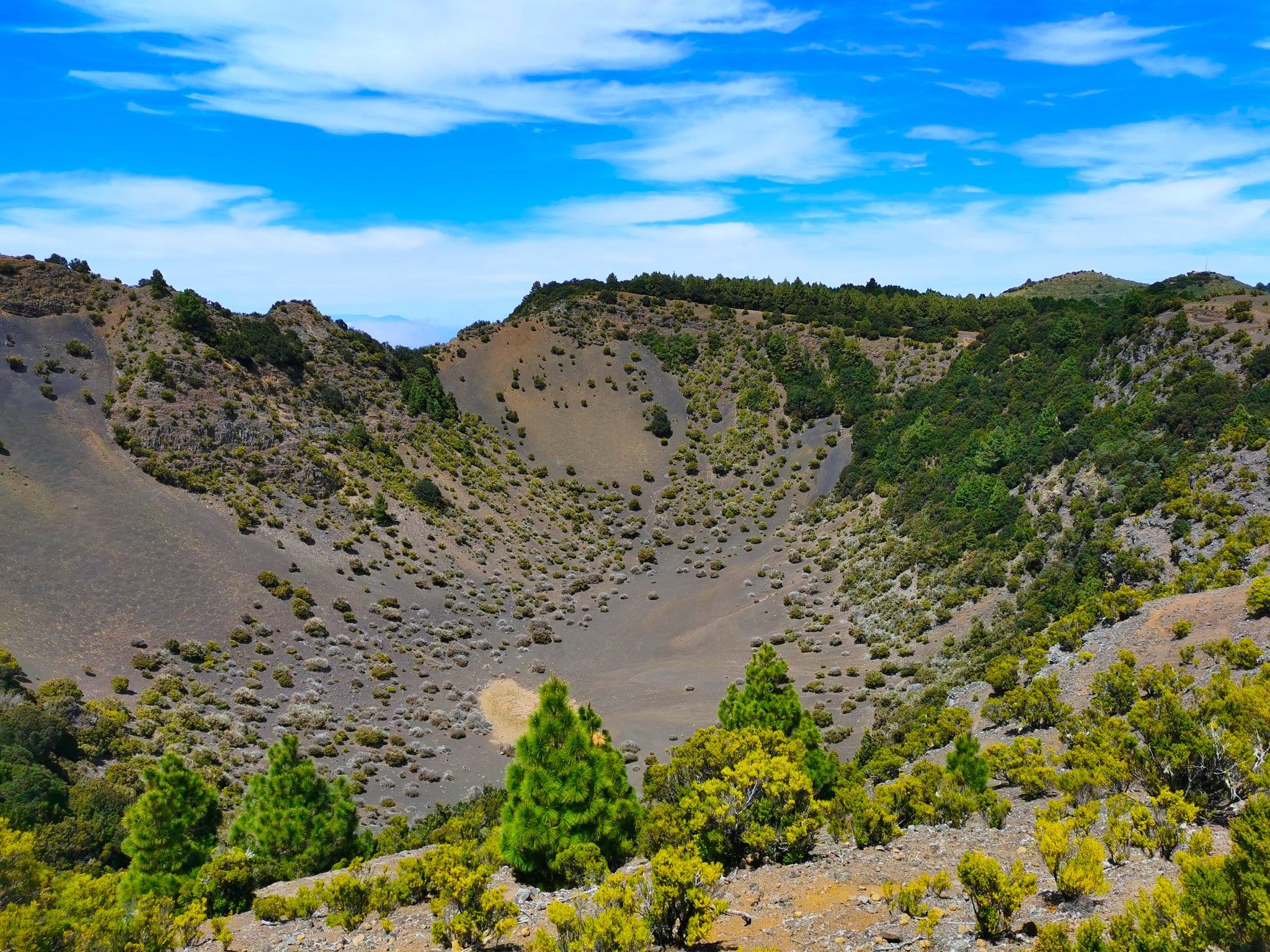
Land of secrets and volcanoes – El Hierro (GR 131)
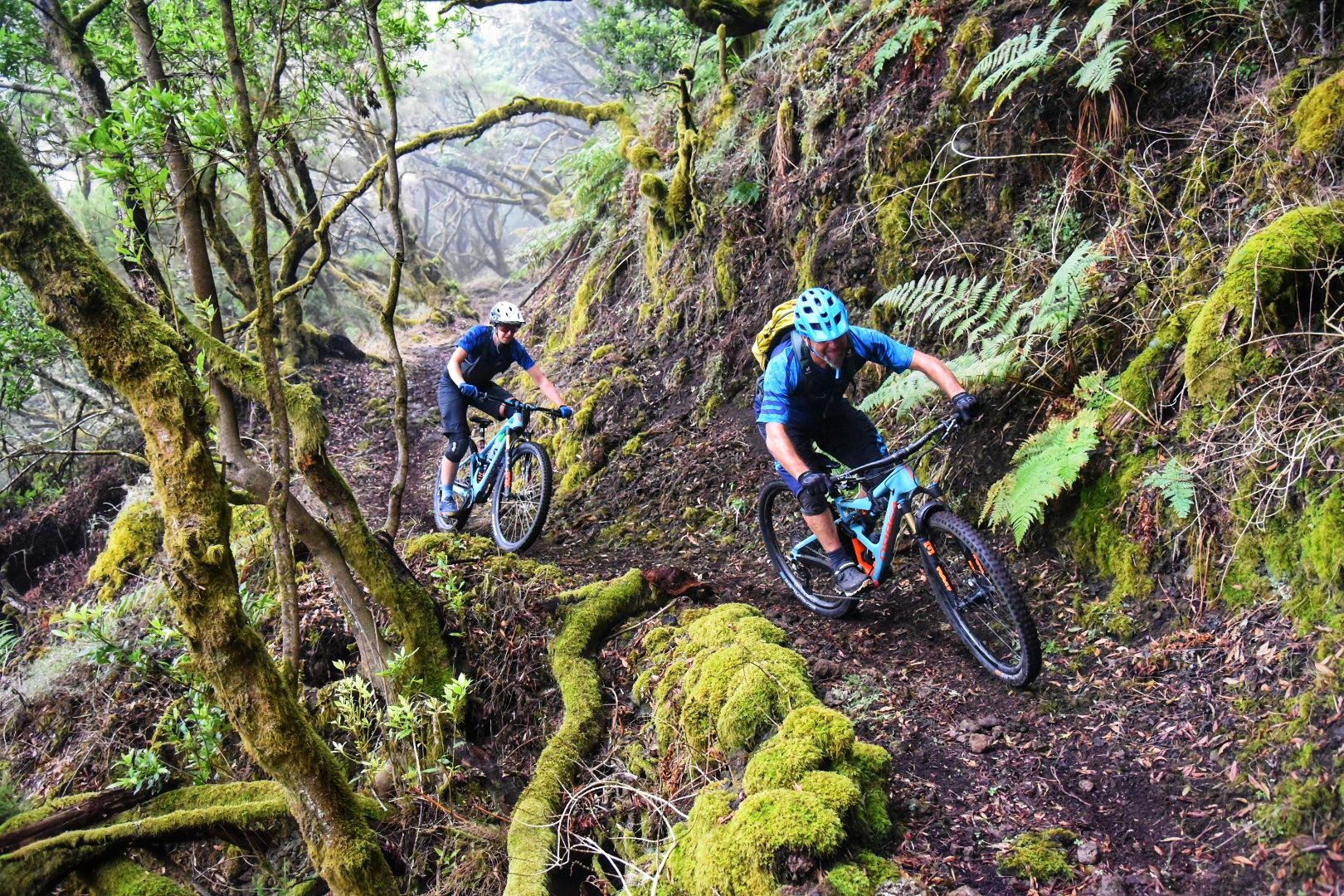
El Hierro: Cycling at the End of the World
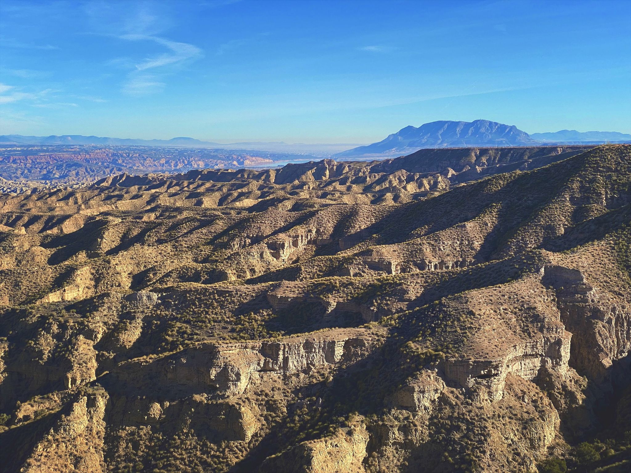
Discover Spain by gravel — a selection of must-see routes
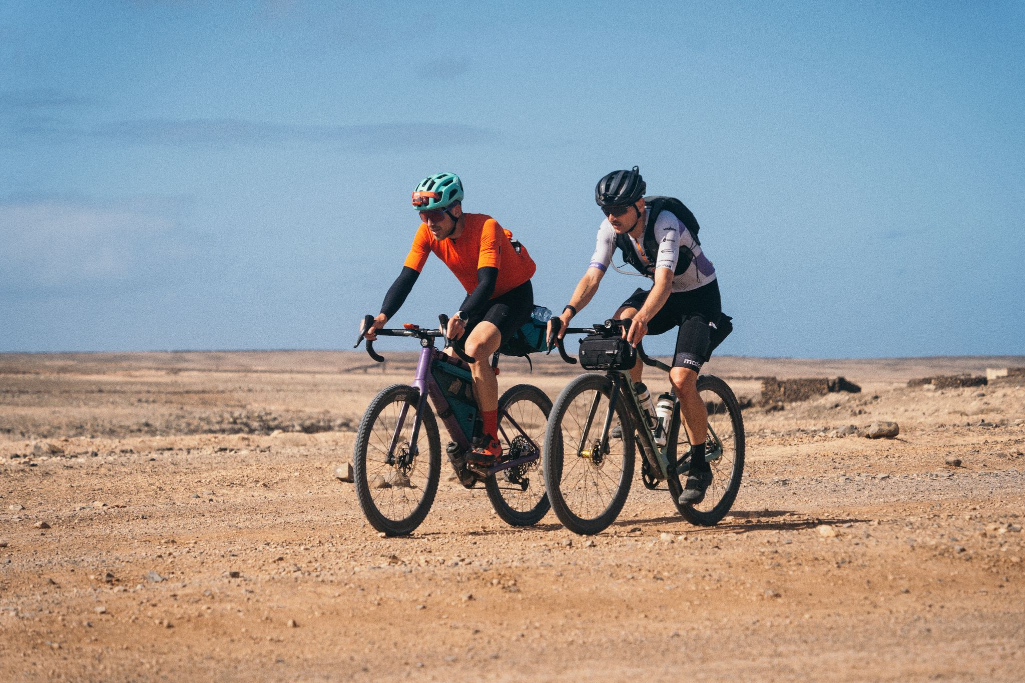
GranGuanche Audax Gravel — five islands in two and a half days
Other adventures around Isla De Hierro


Tips from the Community

sehr schöne Kirche in Terassenlage
0
0

Attention, on Komoot, you are tempted to take the wrong path. Stick to the signposts. Otherwise, you will end up on a washed-out sandy path across a potato field!
0
0
Those who don't want to hike can drive to the parking lot. Nevertheless, a descent on stone ramps and stairs awaits you. This is probably not for people with limited mobility. Even down at El Charco Azul, it is difficult to get to the water. Here, some scrambling and balancing is required.
0
0

For centuries, people didn't come here for the landscape. They came for the water. Legend has it that the mineral waters that spring up in this corner of western El Hierro had healing properties and that many people traveled long distances to drink them or bathe in them. Thus, the name Pozo de la Salud was born. Today the place still has something special. Between the cliffs, the ocean, and the isolation of this part of the island, it's hard to imagine a more remote place to find a spring that would become one of the best-known spots on El Hierro. Some come looking for the spa, others for the sunset or the views over the Golfo. What many discover is a hard-to-explain feeling: that of being at the edge of an island that seems to end right here, between rock, sea, and silence.
0
0

The sacred tree Garoé and its pools, a beautiful place of mysteries and legends. Photogenic place: Nikon Z50 + Laowa 10 mm
0
0

well-laid path to the bathing area. Please take any rubbish back with you, that's the only way to keep everything nice 😉
0
0
only 431 light years in this direction
0
0
Currently undergoing renovations, it has good shade and benches to rest.
1
0
Frequently Asked Questions
How many volcano hiking trails are available on Isla De Hierro?
There are over 25 volcano hiking trails documented on komoot for Isla De Hierro, catering to various skill levels. You'll find a good mix of easy, moderate, and challenging routes to explore the island's unique volcanic landscapes.
What kind of terrain can I expect on volcano hikes in El Hierro?
El Hierro's volcanic hikes offer incredibly diverse terrain. You'll traverse dramatic cliffs, ancient volcanic craters, and extensive lava fields, particularly near La Restinga. Some trails also lead through lush pine and laurel forests, providing a striking contrast to the rugged volcanic rock.
Are there any circular volcano hikes on Isla De Hierro?
Yes, many of the volcano trails on El Hierro are circular, allowing you to start and end at the same point. For example, you could try the Punta de las Poyatas and volcano de Tejeguate — circular desde Tejeguate route, which offers a moderate loop experience around a volcanic feature.
What are some notable natural features or viewpoints I can see on these trails?
El Hierro is rich in stunning natural features and viewpoints. You can hike to the island's highest point, Malpaso Peak, for panoramic vistas. Other spectacular spots include the La Peña Viewpoint, offering views over the El Golfo valley, and the unique wind-sculpted juniper trees of El Sabinar.
Are there any easy volcano hikes suitable for beginners or families?
Yes, there are several easy routes perfect for beginners or families. An enjoyable option is the From Sabinosa to Pozo de la Salud — circular trail, which is relatively short and has minimal elevation gain, allowing for a relaxed exploration of the volcanic surroundings.
What is the best time of year to go volcano hiking in El Hierro?
El Hierro boasts a mild, year-round climate, making it suitable for hiking in any season. However, the spring and autumn months often offer the most comfortable temperatures and less chance of extreme weather, ideal for exploring the volcanic landscapes.
Are there any challenging volcano hikes for experienced hikers?
Absolutely. For experienced hikers seeking a challenge, El Hierro offers several difficult routes with significant elevation changes. The From Tamaduste to Valverde — circular by the Montaña del Tesoro is a demanding trail that will test your endurance while rewarding you with incredible views of the volcanic terrain.
Can I find natural swimming pools or coastal features near volcano trails?
Yes, El Hierro's volcanic coastlines feature stunning natural swimming pools and unique rock formations. You can explore trails that lead to places like Charco Azul or La Maceta. The Submarine Monument, El Hierro – Charco Azul Natural Pool loop from Frontera is a great example of a route combining volcanic scenery with coastal attractions.
What do other hikers say about the volcano trails in El Hierro?
The komoot community highly rates the volcano trails in El Hierro, with an average score of 4.5 stars from over 2000 ratings. Reviewers often praise the island's unspoiled natural beauty, the tranquility of the trails, and the dramatic, diverse volcanic landscapes that make for a truly unique hiking experience.
Are there any cultural or historical sites near the volcano hiking routes?
Yes, some trails offer a glimpse into the island's rich history and culture. For instance, the Garoé Sacred Tree and Pools – Fountain of the Friars loop from Las Montañetas takes you near El Garoé Tree, a site of significant historical importance linked to the island's ancient water collection methods.
Is El Hierro a UNESCO site, and how does that affect hiking?
Yes, El Hierro is designated a UNESCO Biosphere Reserve and Geopark. This designation highlights the island's exceptional natural beauty and geological significance, ensuring its landscapes, including the volcanic areas, are well-preserved. This commitment to sustainability means hikers can enjoy pristine environments and well-maintained trails.
Most popular routes around Isla De Hierro
Most popular attractions around Isla De Hierro

Get inspired with the komoot mobile app


Didn’t find what you were looking for?
Check out more Hikes throughout Isla De Hierro below and find the perfect route in your destination.
Explore more
Browse the best Hikes in other regions.
