The best hikes from bus stations around Comarca de la Vega de Granada
4.5
(6147)
33,849
hikers
446
hikes
Bus station hiking trails around Comarca de la Vega de Granada offer access to a diverse landscape, ranging from the high peaks of the Sierra Nevada to the fertile plains of La Vega. The region features imposing gorges, river valleys, and natural springs, alongside pine-covered hills and limestone formations. Hikers can explore areas within the Sierra Nevada Natural and National Park, as well as the Sierra de Huétor Natural Park, providing varied terrain for outdoor activities.
Best bus station hiking…
Last updated: October 7, 2026
4.8
(907)
2,943
hikers
8.03km
02:24
250m
250m
Moderate hike. Good fitness required. Mostly accessible paths. Sure-footedness required.
4.7
(73)
305
hikers
12.6km
04:58
840m
840m
Moderate hike. Good fitness required. Mostly accessible paths. Sure-footedness required.

4.5
(72)
234
hikers
4.17km
01:11
90m
90m
Easy hike. Great for any fitness level. Easily-accessible paths. Suitable for all skill levels.
4.0
(61)
163
hikers
7.57km
02:19
270m
270m
Moderate hike. Good fitness required. Easily-accessible paths. Suitable for all skill levels.
4.5
(15)
222
hikers
19.3km
08:25
1,160m
1,160m
Hard hike. Very good fitness required. Sure-footedness, sturdy shoes and alpine experience required.
Get access to more routes and recommendations from other explorers.
Already have an account?
Our route recommendations are based on thousands of hikes, rides, and runs completed by other people on komoot.
Start today with a free account
Your next adventure awaits.
Popular around Comarca de la Vega de Granada

Hikes from bus stations in Parque Periurbano Dehesa Del Generalife

Hikes from bus stations around Embalse de Canales
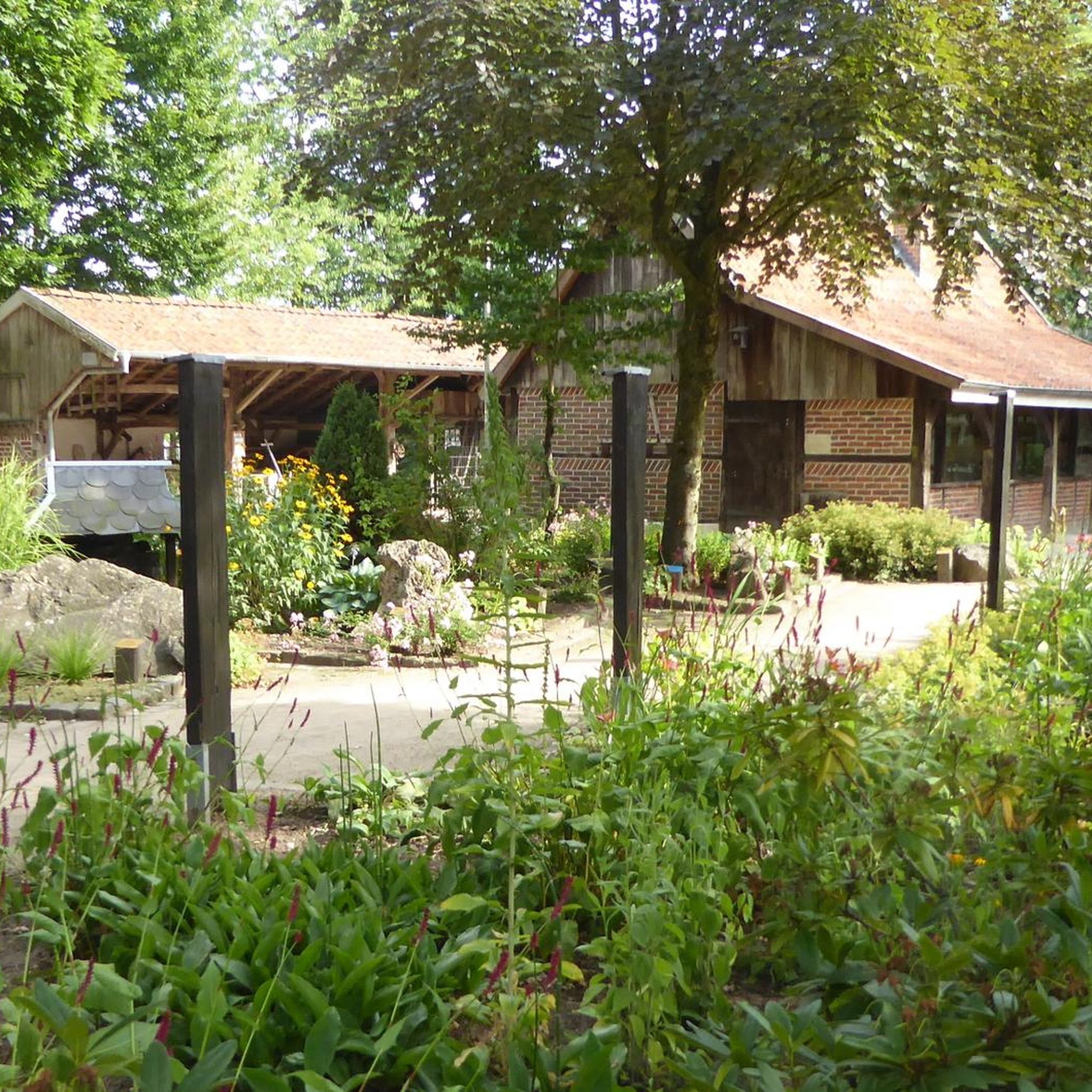
Hikes from bus stations in Sierra De Huetor
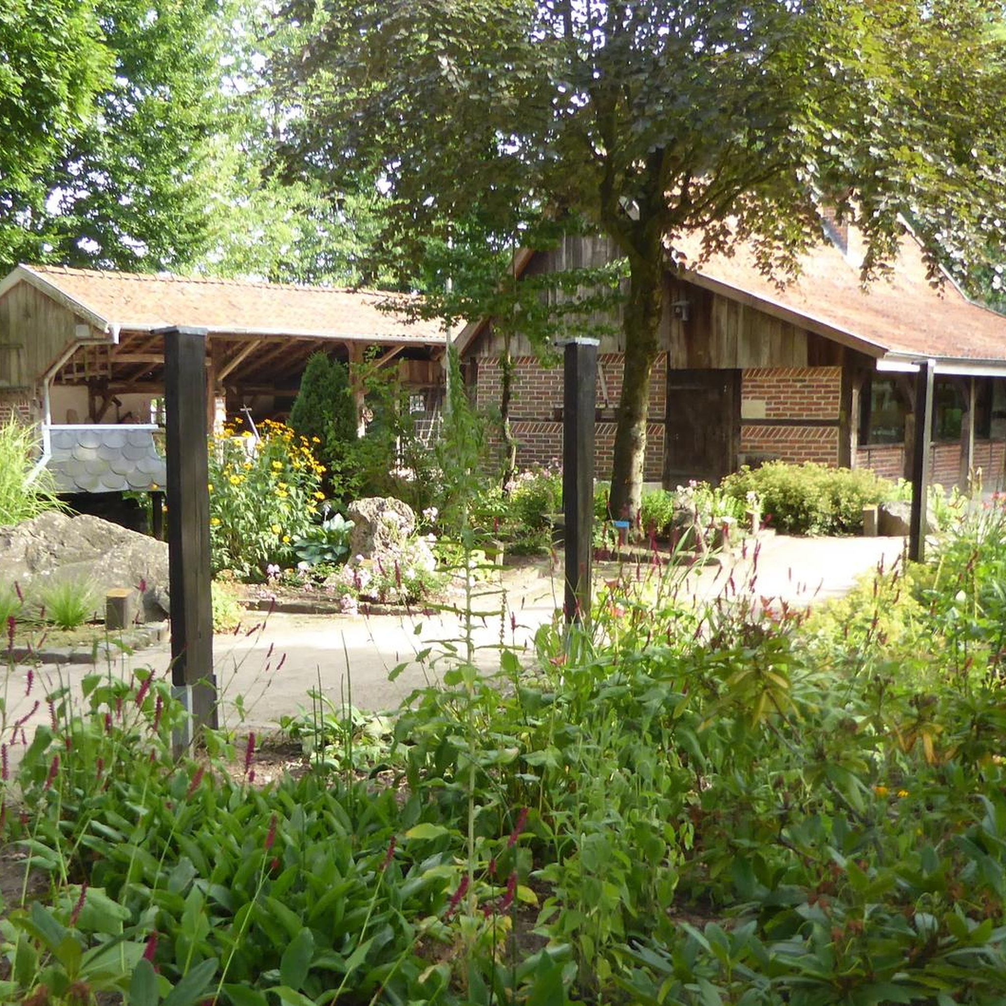
Hikes from bus stations in Sierra De Huétor
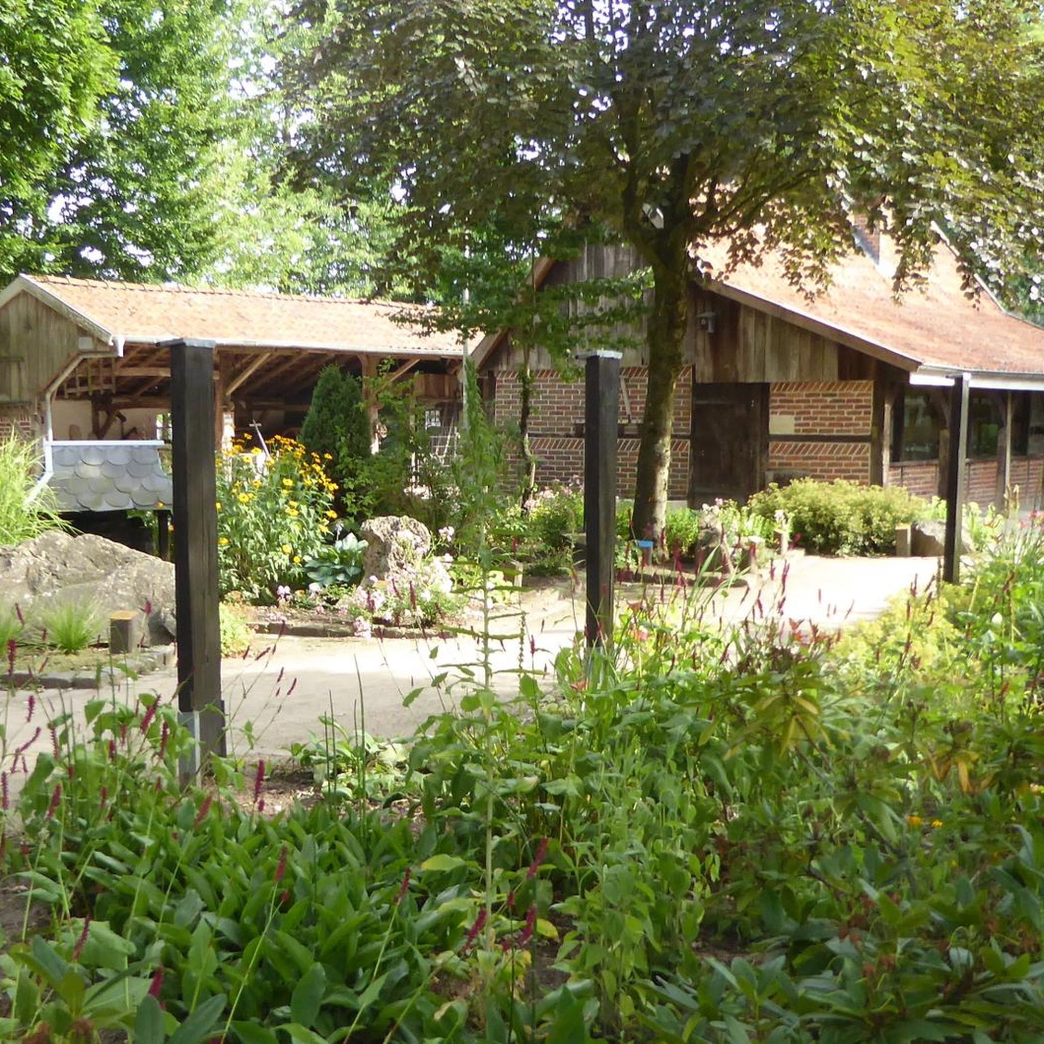
Hikes from bus stations around National Park Sierra de Huétor

Hikes from bus stations in Barrancos Del Río De Aguas Blancas
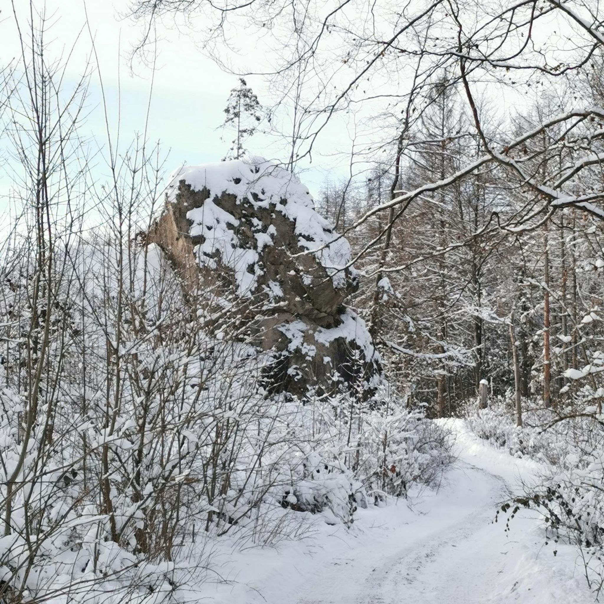
Hikes from bus stations in Sierra Elvira

Hikes from bus stations around Embalse del Cubillas

Hikes from bus stations around Embalse de Quéntar

Hikes from bus stations in Parque Periurbano Dehesa De Santa Fe
Other adventures around Comarca de la Vega de Granada


Tips from the Community

It is on the route from Prado llano to Veleta and it is a must-visit place for its wonderful views as well as its religious character. Peace, pure air and magnificent views of our Granada in the distance.
0
0

A cool but very tough route
0
0

A lovely little tea shop with a view of the Alhambra. The courtyard feels like a small oasis where you can escape the hustle and bustle. Delicious teas!
0
0

From here we have breathtaking views of the Alhambra.
1
0

Nasrid origin (11th century): it served the old Azitini Mosque and was supplied by the Aynadamar irrigation ditch, a sophisticated Andalusian hydraulic system. Christian reconstruction (17th century): on top of the original Muslim cistern, next to the current Church of San Nicolás. The current structure dates from 1646 according to Henríquez de Jorquera.
9
0

The Monasterio de Santa Isabel la Real is a historic monastery in Granada, located in the picturesque Albaicín district. Founded in the 14th century, the monastery combines Mudejar and Renaissance architecture. Inside, you'll find a serene cloister garden, beautiful chapels, and religious artwork that reflect the monastery's rich history – a peaceful place to experience culture and spirituality.
0
1
The Albaicín is Granada's oldest quarter and a UNESCO World Heritage Site. With its narrow cobbled streets, whitewashed houses, and charming squares, the district still exudes the Moorish atmosphere of yesteryear. From its many miradores, such as the famous Mirador de San Nicolás, you have stunning views of the Alhambra and the Sierra Nevada. Wandering through the Albaicín is a journey back in time and one of the most beautiful experiences in Granada.
2
1

Here, people dance in the square on Saturday evenings 🤩. The older students really dressed up. They played everything that works as a couple's dance. There was a slow waltz, a rumba... if you don't want to dance yourself, you can just watch the others. A fantastic experience and a fantastic atmosphere 😍
6
0
Frequently Asked Questions
How many bus station hiking trails are available in Comarca de la Vega de Granada?
There are over 400 hiking routes in the Comarca de la Vega de Granada that are accessible from bus stations. This includes a wide variety of trails, with 144 easy routes, 201 moderate routes, and 61 difficult routes, ensuring options for all fitness levels.
What are some easy, family-friendly hiking options accessible by bus?
For an easy and family-friendly experience, consider the Albaicín and Sacromonte Trail. This route is just over 4 km long with minimal elevation gain, allowing you to explore Granada's historic neighborhoods and enjoy views of the Alhambra. The region also offers many gentle walks through the fertile La Vega Plain, characterized by poplar trees and vegetable gardens.
Are there any circular hiking routes that start and end near bus stops?
Yes, many routes are designed as circular paths for convenience. A popular choice is the Los Cahorros de Monachil Loop, a moderate 8 km trail featuring dramatic gorges, hanging bridges, and paths alongside the Monachil river. Another excellent circular option is the Sacromonte — circular route, which offers cultural insights and scenic views.
What kind of natural attractions can I expect to see along these bus-accessible trails?
The Comarca de la Vega de Granada is rich in natural beauty. You can find imposing gorges, river valleys, and natural springs, especially around areas like Monachil. The region also features diverse landscapes ranging from the high peaks of the Sierra Nevada to the lush La Vega Plain. Some trails lead through pine forests, past natural caves, and offer panoramic viewpoints.
Are there any trails that feature waterfalls or opportunities for wild swimming?
While specific wild swimming spots are not always marked, the region's numerous rivers and springs, particularly in areas like Monachil Gorge, offer refreshing dips during warmer months. The Ruta del Gollizno in Moclín, though not directly listed in the provided routes, is known for its river gorges and waterfalls, indicating such features are present in the broader region.
What are some notable landmarks or points of interest I can visit near the hiking trails?
Many trails offer access to fascinating landmarks. You can explore the historic Sacromonte Abbey and the Sacromonte Caves Museum, which provide insight into the region's unique cave dwellings. For those interested in natural formations, the Cave of the Marbles and the Cave of the Dove are also accessible. The Sierra Elvira mountain range also features Roman remains and medieval fortifications.
Are there any challenging hikes accessible by bus for experienced hikers?
Yes, for experienced hikers seeking a challenge, the region offers difficult routes, particularly within the Sierra Nevada. A demanding option is the Sierra Nevada National Park – Mulhacén Peak from Posiciones del Veleta. This difficult 19 km trail involves significant elevation gain, leading towards Mulhacén, the highest peak in mainland Spain, and requires good fitness and alpine experience.
What do other hikers enjoy most about hiking in Comarca de la Vega de Granada?
The Comarca de la Vega de Granada is highly rated by the komoot community, with an average score of 4.5 stars from over 4900 ratings. Reviewers often praise the dramatic contrast between the high peaks of the Sierra Nevada and the lush plains, the diverse trails catering to all levels, and the rich cultural and natural highlights found along the routes.
Are there any huts or shelters available along the bus-accessible trails for longer hikes?
For those undertaking longer or multi-day hikes, there are several huts and shelters in the region. Notable options include the Carihuela Bivouac Shelter, San Francisco Hostel, and Cucaracha Refuge. These can provide essential rest stops or overnight accommodation.
What is the best season for hiking in Comarca de la Vega de Granada, especially from bus stations?
The best season largely depends on the type of hike. Spring and autumn generally offer pleasant temperatures for most trails, including those in the plains and lower mountain areas. For high-altitude routes in the Sierra Nevada, summer is ideal, though snow can persist from November to July. Winter offers unique opportunities for snowshoeing or winter hiking in higher elevations, but requires appropriate gear and experience.
Can I find trails that offer panoramic views of the Sierra Nevada or Granada city?
Absolutely. Many trails in the region provide stunning panoramic views. The Sierra Elvira mountain range, for instance, offers picturesque vistas of Granada, the Vega de Granada, and the majestic Sierra Nevada. Even some easy routes, like the Dehesa del Generalife (not explicitly listed here but mentioned in region research), are known for their views of the Alhambra and the city.
Are there any moderate-difficulty trails that offer significant elevation gain for a good workout?
Yes, if you're looking for a moderate challenge with substantial elevation, the Hoya de la Mora - Lagunillos de la Virgen Trail is an excellent choice. This route is about 12.5 km long and features over 800 meters of elevation gain, providing a rewarding workout amidst beautiful mountain scenery.
Most popular routes around Comarca de la Vega de Granada
Most popular attractions around Comarca de la Vega de Granada

Get inspired with the komoot mobile app


Didn’t find what you were looking for?
Check out more Hikes throughout Comarca de la Vega de Granada below and find the perfect route in your destination.
Explore more
Browse the best Hikes in other regions.
