The best hikes from bus stations in the East Midlands
4.5
(40767)
261,837
hikers
8,631
hikes
Bus station hiking trails in the East Midlands offer access to a varied landscape, from the dramatic gritstone edges and moorlands of the Peak District to the rolling hills of the Lincolnshire Wolds and ancient woodlands like Sherwood Forest. The region is characterized by diverse terrain, including limestone dales, river valleys, and canal paths. These features provide a range of hiking experiences for different abilities.
Best bus station hiking trails in the East Midlands
- The most popular bus station hiking route is Mam Tor, The Great Ridge & Castleton loop — Peak District National Park, an 8.1 miles (13.0 km) trail that takes about 4 hours to complete. This moderate route offers panoramic views along a prominent ridge.
- Another top favourite among local hikers is B-29 Overexposed Plane Crash Site loop from Pennine Way, an easy 3.7 miles (6.0 km) path. This route explores moorland scenery and a historical site, typically completed in about 1 hour 40 minutes.
- Local hikers also love the Monsal Trail and Ashford-in-the-Water Circular, a 6.3 miles (10.1 km) trail leading through a former railway line and picturesque villages, often completed in about 2 hours 42 minutes.
- Hiking in the East Midlands is defined by gritstone edges, limestone dales, and ancient woodlands. The network offers options for various ability levels, from easy riverside strolls to more challenging moorland ascents.
- The routes in East Midlands are highly rated by the komoot community with an average score of 4.5 stars from more than 26,600 reviews. More than 192,000 hikers have used komoot to explore East Midlands's varied terrain.
Last updated: July 1, 2026
4.9
(334)
2,032
hikers
13.0km
03:58
450m
450m
Embark on the Mam Tor, The Great Ridge & Castleton loop, a moderate 8.1-mile (13.0 km) hike in the Peak District National Park. This picturesque route, typically completed in about 3 hours and 58 minutes, features a total elevation gain of 1462 feet (446 metres) and offers diverse terrain. You will traverse well-maintained paths, including paved sections and stone steps, alongside natural unpaved and gravel stretches that can be muddy. From Mam Tor's summit, you are treated to expansive views over the Edale Valley, Hope Valley, and Kinder Scout, with the Great Ridge providing continuous panoramic vistas on both sides.
Castleton village serves as a charming starting and ending point for this popular hike. The trail attracts many visitors, especially on weekends and for sunrise views, so arriving early is often recommended to avoid crowds. In Castleton, you will find various amenities such as cafes and pubs, perfect for a stop before or after your adventure.
This trail is notable for its rich history and unique geological features. Mam Tor, also known as the "Shivering Mountain" due to its unstable shale and sandstone, holds remains of an ancient hill fort and Bronze Age burial barrows. The Great Ridge, a nearly 2-mile (3-kilometer) long connector between Mam Tor and Lose Hill, is a highlight. You can also explore the dramatic limestone gorge of Winnats Pass and visit attractions in Castleton like Peveril Castle or the Treak Cliff Cavern.
4.6
(182)
1,116
hikers
6.04km
01:40
110m
110m
Embark on an easy hike through the expansive peat bogs and moorland of Bleaklow, offering wide-open views towards Manchester and Black Hill. This 3.8-mile (6.0 km) loop involves a gentle climb of 352 feet (107 metres), taking about 1 hour and 40 minutes to complete. As you traverse the exposed landscape, you'll feel the raw, wild atmosphere of the Peak District. The route leads you to the poignant B-29 Superfortress 'Over Exposed' Crash Site, where scattered wreckage serves as a powerful reminder of history.
Prepare for exposed moorland conditions on this trail; there's no shade, and the weather can shift quickly, sometimes experiencing all four seasons in a single day. Poor visibility is a common occurrence, so make sure you have sturdy footwear and basic navigation skills, including a map and compass. Parking at Snake Pass Summit can be limited, especially on weekends, so an early start is a good idea to secure a spot. Note that there are no public facilities at the trailhead.
This trail offers a unique journey through history and nature, combining the solemnity of the B-29 crash site with the natural beauty of the Peak District. You can also reach the Higher Shelf Stones Summit and Trig Point for wide-ranging vistas, and discover Hern Clough, a small waterfall, along the way. It's a distinctive experience across the vast moorland, setting it apart from other hikes in the region.

Sign up for free
4.7
(118)
590
hikers
10.1km
02:42
120m
120m
Embark on the Monsal Trail and Ashford-in-the-Water Circular, a moderate hiking route that guides you through the scenic limestone dales of the Peak District. This 6.3-mile (10.1 km) journey, with an elevation gain of 396 feet (121 metres), takes approximately 2 hours and 41 minutes to complete. You will experience a blend of accessible railway path and varied natural landscapes, passing through atmospheric, lit railway tunnels and crossing the impressive Headstone Viaduct with its sweeping views over Monsal Dale. The route also leads you into the charming village of Ashford-in-the-Water, known for its ancient packhorse bridge.
While the Monsal Trail section is largely gentle and flat, be prepared for steeper ascents and descents as you explore the woodlands and fields around Ashford-in-the-Water. This circular route is generally accessible, but some parts require more effort. Parking is conveniently available at various points along the Monsal Trail, including Hassop Station, which also provides amenities like a café and cycle hire.
This hike offers a diverse experience, combining the historical railway path with the natural beauty of the River Wye valley. You will traverse picturesque dales and encounter the impressive engineering of the railway tunnels, which are well-lit for your passage. The route's blend of easy-going sections and more challenging terrain makes it a rewarding choice for many hikers seeking both history and natural splendor.
4.9
(49)
228
hikers
11.2km
03:10
240m
240m
Hike a moderate 7.0-mile loop in the Peak District, exploring gritstone tors, panoramic views, and the Burbage Valley.
4.4
(39)
160
hikers
10.4km
03:04
290m
290m
Moderate hike. Good fitness required. Easily-accessible paths. Suitable for all skill levels.
Get access to more routes and recommendations from other explorers.
Sign up for free
Already have an account?
Our route recommendations are based on thousands of hikes, rides, and runs completed by other people on komoot.
Start today with a free account
Your next adventure awaits.
Login or Signup
Popular around East Midlands
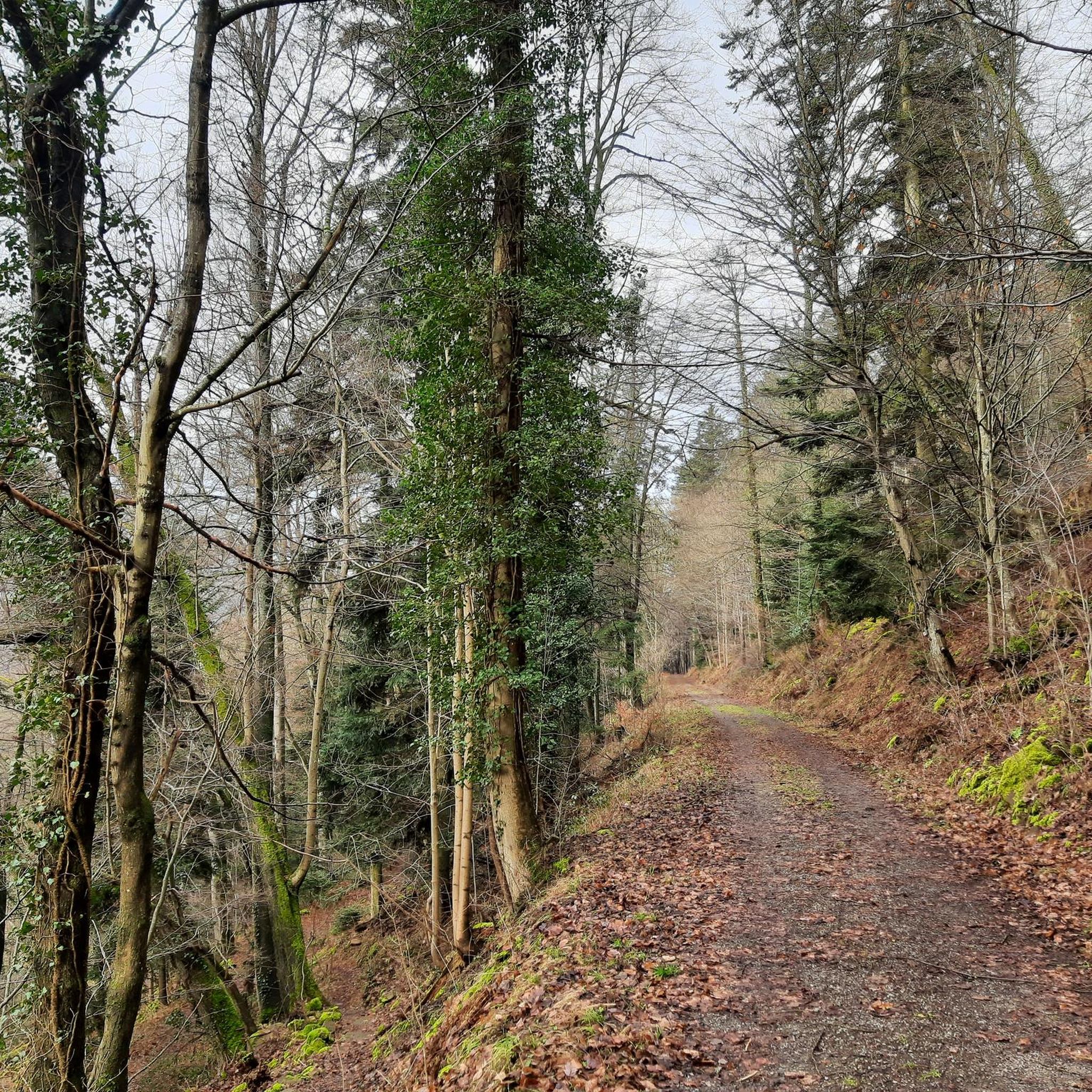
Hikes from bus stations in Derbyshire

Hikes from bus stations in Lincolnshire
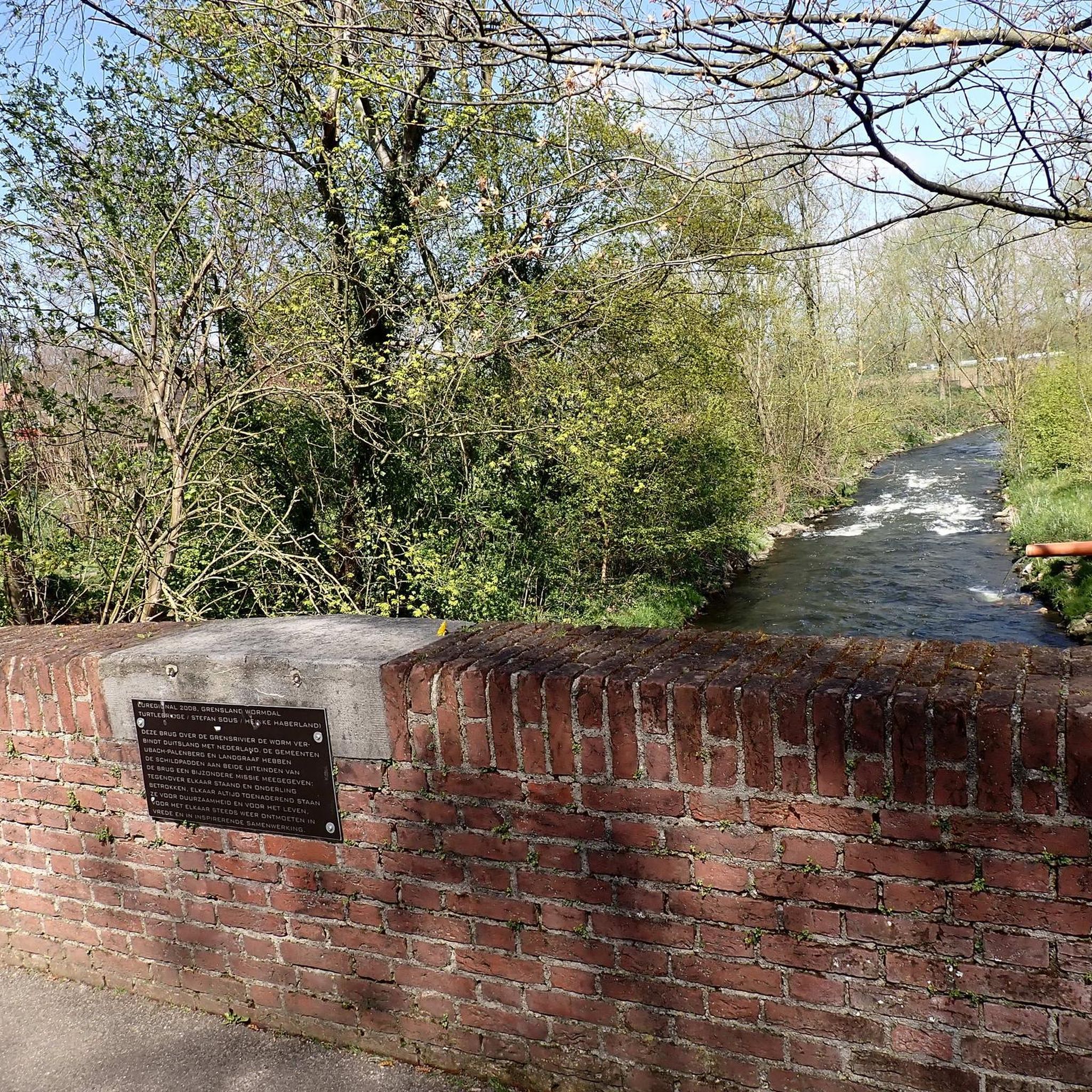
Hikes from bus stations in Nottinghamshire

Hikes from bus stations in Leicestershire
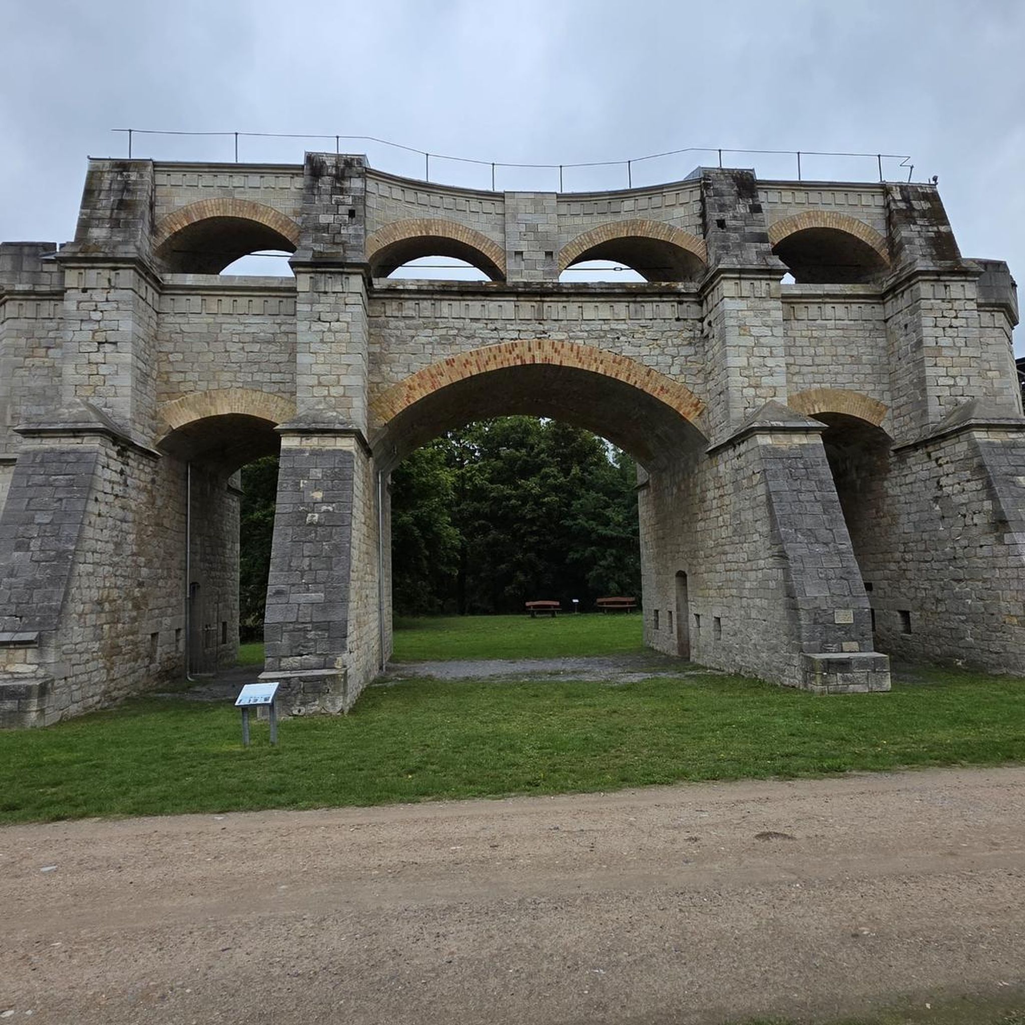
Hikes from bus stations in Northamptonshire

Hikes from bus stations in North West Leicestershire

Hikes from bus stations around Derby

Hikes from bus stations around Nottingham

Hikes from bus stations in Hinckley And Bosworth

Hikes from bus stations around Ashby Woulds
Other adventures in the East Midlands


Tips from the Community

Great rock formation near Owler Tor, good walk up from suprise view car park
0
0


Owler Tor is a collection of striking gritstone formations set in heather covered moorland which creates a particularly spectacular backdrop in August, when it can be surrounded by a sea of purple. The Tor is great for exploring and bouldering, and as it's only a few minutes walk from Surprise View car park, it's a popular destination.
1
0

Went for a Bakewell tart but also tried the Bakewell pudding, it was amazing. It's a great shop.
0
0


old train station car park starts on the monsal trail Check out the photos 📸
1
0

quite a busy little area but a nice wander through
0
0
Frequently Asked Questions
How many bus-accessible hiking trails are available in the East Midlands?
The East Midlands offers a vast network of hiking trails accessible by bus. Our guide features over 8,700 routes, providing numerous options for exploring the region's diverse landscapes without needing a car.
What do other hikers enjoy most about bus station hikes in the East Midlands?
The komoot community highly rates bus station hikes in the East Midlands, with an average score of 4.5 stars. Hikers frequently praise the convenience of reaching stunning natural beauty spots like the Peak District and Sherwood Forest via public transport, as well as the variety of trails from gentle riverside walks to challenging moorland ascents.
Are there easy bus-accessible hikes suitable for beginners in the East Midlands?
Yes, the East Midlands has over 4,200 easy bus-accessible routes perfect for beginners or those seeking a relaxed stroll. Many of these trails follow gentle paths along canals like the Cromford Canal or through nature reserves such as Attenborough, offering accessible and scenic experiences. An example is the B-29 Overexposed Plane Crash Site loop from Pennine Way, which is rated easy.
Can I find challenging bus-accessible hikes in the East Midlands?
Absolutely. For more experienced hikers, there are over 350 difficult bus-accessible routes, particularly within the Peak District National Park. These trails often involve significant elevation changes and rugged terrain, offering rewarding views. Consider routes that explore areas around Kinder Scout or Mam Tor for a more strenuous adventure, such as the Mam Tor, The Great Ridge & Castleton loop.
Are bus station hikes in the East Midlands suitable for families?
Many bus-accessible routes in the East Midlands are ideal for families. Look for trails that are shorter, have minimal elevation gain, and pass by interesting features. Areas like Sherwood Forest offer enchanting woodland walks, while the Tissington Trail provides a flat, traffic-free path. Attenborough Nature Reserve is another excellent choice for wildlife spotting and easy walks with children.
Are bus station hikes in the East Midlands dog-friendly?
Most hiking trails in the East Midlands are dog-friendly, though it's always best to keep dogs on a lead, especially in areas with livestock or ground-nesting birds. Many bus services also welcome well-behaved dogs. Popular dog-friendly areas include the Peak District, Sherwood Forest, and various canal paths, offering plenty of space for your canine companion to enjoy the outdoors.
What natural landmarks or attractions can I explore on bus-accessible hikes?
The East Midlands is rich in natural beauty. On bus-accessible hikes, you can discover dramatic landscapes like the gritstone edges of the Peak District, including High Tor near Matlock. Ancient woodlands such as Sherwood Forest offer tranquil glades, while the region's rivers and canals, like the Cromford Canal, provide serene waterside paths. The Monsal Trail also offers stunning views and passes through old railway tunnels.
Are there any historical sites or points of interest accessible via bus routes?
Yes, several historical sites are within reach of bus-accessible trails. You can explore the Derwent Valley Mills World Heritage Site along the Cromford Canal, or visit the grounds of stately homes like Chatsworth House and Haddon Hall. The remains of Leicester Abbey near Abbey Park are also accessible. For a unique historical experience, consider a hike that passes by the Dove Holes Caves.
Are there circular bus-accessible routes in the East Midlands?
Many bus-accessible routes in the East Midlands are designed as circular walks, allowing you to start and end your hike at the same bus stop. This is particularly convenient for public transport users. Examples include the Higger Tor, Mother Cap & Burbage Valley loop or the Tintwistle loop.
What is the best time of year for bus station hikes in the East Midlands?
The East Midlands offers great hiking opportunities year-round. Spring brings wildflowers and milder temperatures, while summer provides long daylight hours. Autumn showcases stunning foliage, especially in woodlands like Sherwood Forest. Winter hikes can be beautiful, particularly in the Peak District with snow-capped landscapes, but require appropriate gear and caution due to potentially challenging conditions.
Is the £2 bus fare scheme still available for reaching hiking trails?
The £2 bus fare cap scheme has been extended in England, making bus travel an even more affordable option for reaching hiking trails across the East Midlands. It's advisable to check the latest information from local bus operators like Stagecoach for specific routes and any updates to the scheme before you travel.
Most popular routes in the East Midlands
Most popular attractions in the East Midlands

Get inspired with the komoot mobile app


Didn’t find what you were looking for?
Check out more Hikes throughout East Midlands below and find the perfect route in your destination.
Explore more
Browse the best Hikes in other regions.
