The best hikes from bus stations around Tongeren
4.5
(21759)
108,551
hikers
1,921
hikes
Bus station hiking trails around Tongeren offer access to the diverse landscapes of the Haspengouw region, characterized by rolling hills, valleys, and extensive fruit orchards. The area features a network of trails winding through agricultural lands and serene nature reserves like De Kevie and Eggertingen. Hikers can explore paths that connect picturesque villages and historical elements, providing varied terrain for outdoor activities. The region's topography includes gentle ascents and descents, making it suitable for a range of hiking abilities.
Best bus station hiking trails around Tongeren
- The most popular bus station hiking route is Path Under a Canopy of Trees – Broekbos loop from Voeren - Fourons, a 5.1 miles (8.3 km) trail that takes 2 hours 19 minutes to complete. This moderate route leads through woodland with a dense tree canopy.
- Another top favourite among local hikers is Trail through Veursbos Valley – Narrow path loop from Remersdaal - Rémersdael, a moderate 8.2 miles (13.2 km) path. This trail navigates through the scenic Veursbos Valley on varied terrain.
- Local hikers also love the Pietersheim Water Castle (ruins) – Beech Avenue in Pietersembos loop from Lanaken, a 7.5 miles (12.0 km) trail leading through historical sites and natural avenues, often completed in about 3 hours 6 minutes.
- Hiking around Tongeren is defined by rolling hills, fruit orchards, and nature reserves, offering panoramic views. The extensive network of routes provides options for different ability levels, from easy walks to more challenging moderate trails.
- The routes in Tongeren are highly rated by the komoot community with an average score of 4.5 stars from over 20000 reviews. More than 100000 hikers have used komoot to explore Tongeren's varied terrain.
Last updated: June 30, 2026
4.7
(431)
2,291
hikers
8.27km
02:19
170m
170m
Moderate hike. Good fitness required. Easily-accessible paths. Suitable for all skill levels.
4.7
(466)
2,288
hikers
13.2km
03:45
300m
300m
Moderate hike. Good fitness required. Easily-accessible paths. Suitable for all skill levels.

Sign up for free
4.7
(214)
986
hikers
Moderate hike. Good fitness required. Easily-accessible paths. Suitable for all skill levels.
4.7
(150)
926
hikers
14.6km
03:54
170m
170m
Moderate hike. Good fitness required. Easily-accessible paths. Suitable for all skill levels.
4.6
(1014)
6,276
hikers
13.7km
03:38
140m
140m
Moderate hike. Good fitness required. Easily-accessible paths. Suitable for all skill levels.
Get access to more routes and recommendations from other explorers.
Sign up for free
Already have an account?
Our route recommendations are based on thousands of hikes, rides, and runs completed by other people on komoot.
Start today with a free account
Your next adventure awaits.
Login or Signup
Popular around Tongeren

Hikes from bus stations in Vlaams Natuurreservaat Vallei Van De Ziepbeek

Hikes from bus stations in Gulpvallei Met Omgeving

Hikes from bus stations in Pietersembos

Hikes from bus stations in Veursbos-Roodbos-Vossenaerde Bosreservaat
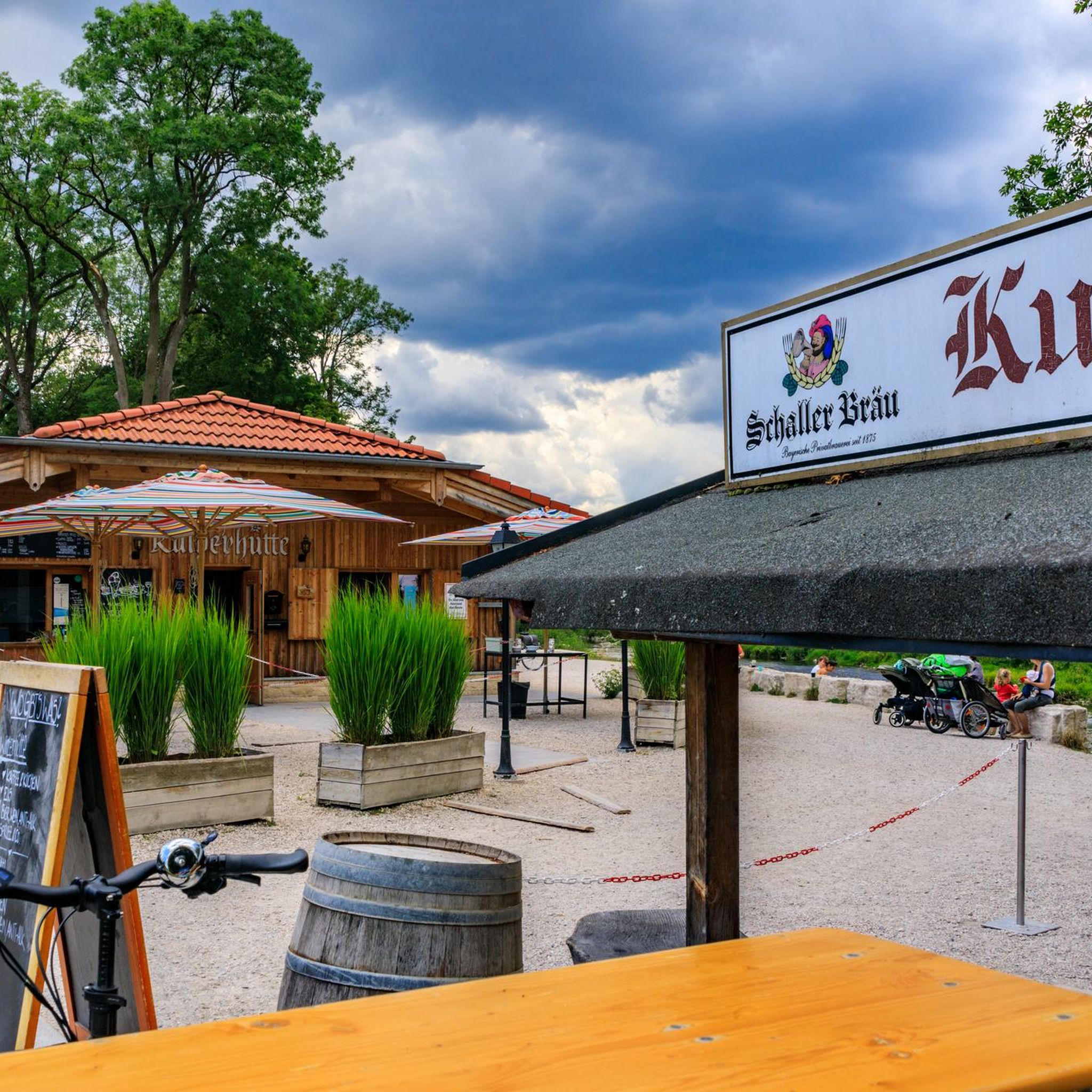
Hikes from bus stations in Vlaams Natuurreservaat Mechelse Heide
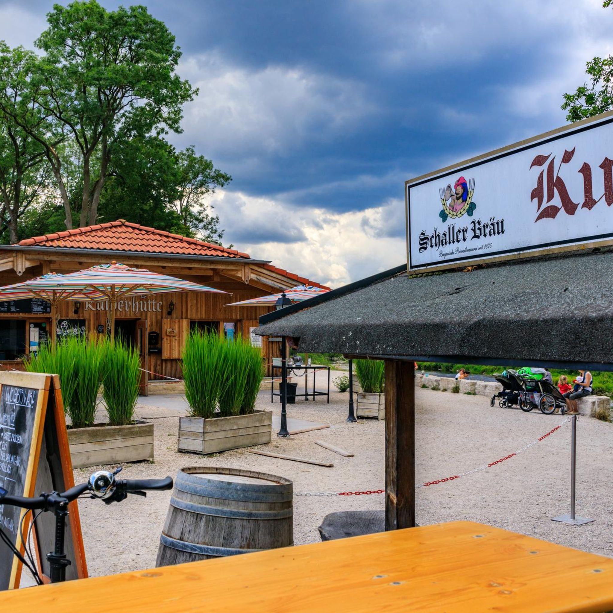
Hikes from bus stations in Mechels Bos

Hikes from bus stations in Jongenbos

From Flanders to the Ardennes — GR 5 in Belgium
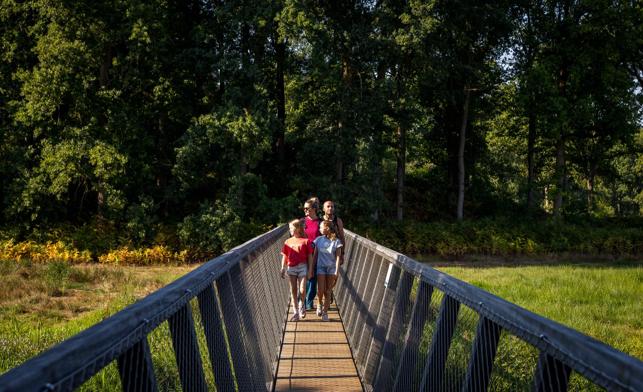
Flanders’ Finest Hiking Routes
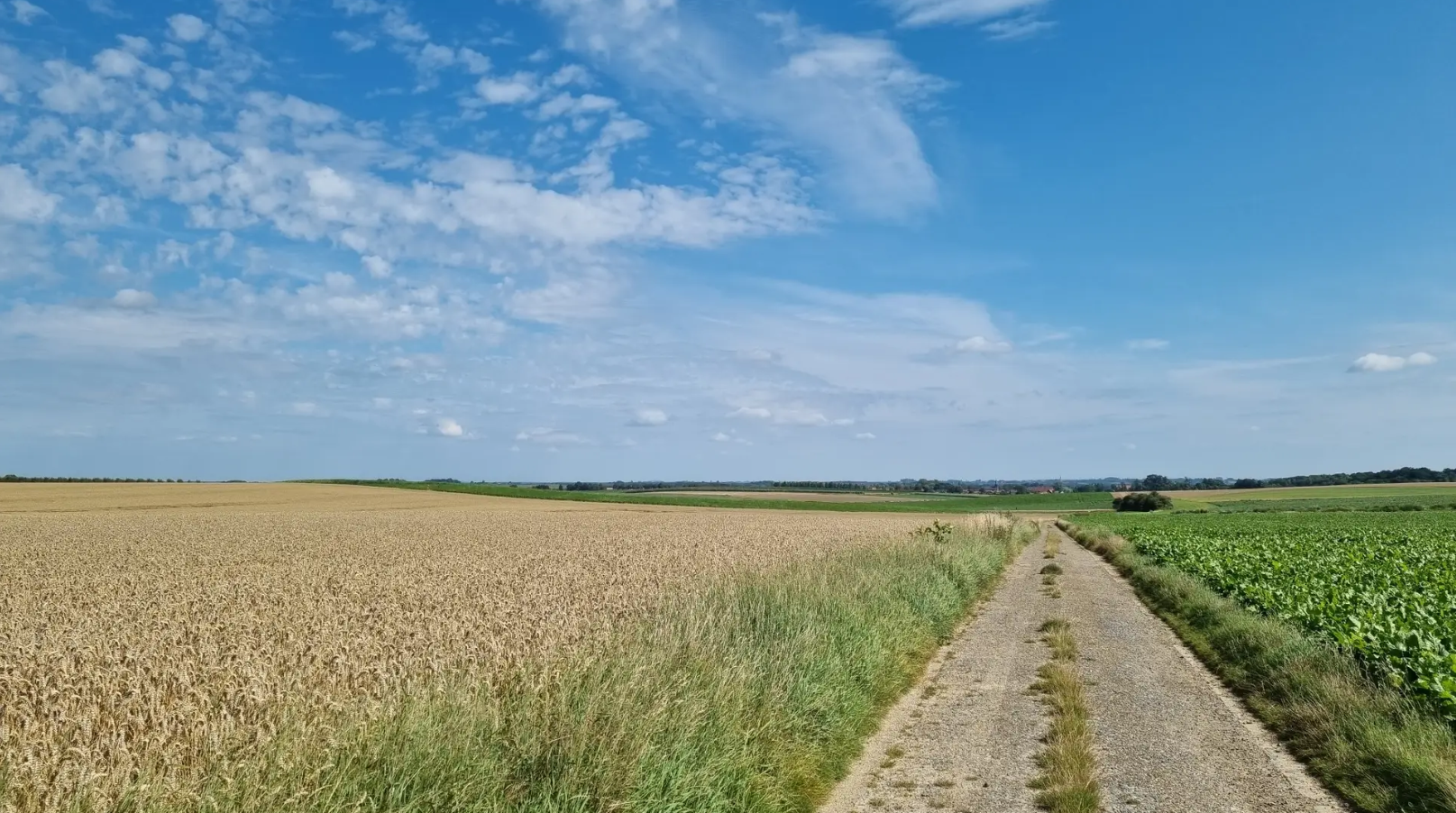
Bloesems, Forests and hidden Heritage – Streek-GR Haspengouw
Other adventures around Tongeren


Tips from the Community

When the hedges have not yet been trimmed and the grass in the verges is high, you can walk past without noticing it. I had almost missed it... Here is a beautiful large viewing platform built on the slope. You can see for miles from here.
3
0
Here you walk on the western flank of a Loons dry valley with views over the old high-stemmed orchards and on the other side - on the eastern slope - the famous Borgloon church with its through-view.
3
0
From the Tongersestraat, on the edge of the city center, starts a narrow cobbled alley, which leads to a dirt road. It is likely located on the site of the vanished city walls. On the north side are the gardens and garden walls of the houses on Tongersestraat and Paddonck, on the south side are the orchards on the downward sloping hills south of the city. The alley passes behind the rectory to emerge at Paddonck, behind the church choir. The alley is called Kattesteeg or Kattensteeg.
3
0

This transparent church, aptly named 'Reading Between the Lines', is a work of art by PIT, designed by the architectural duo Gijs Van Vaerenbergh. It symbolises the decay of the church. The ten-meter-high artwork consists of one hundred stacked layers of sheet steel in the shape of a church in Loon. Thanks to the unique construction, the beautiful Haspengouw landscape remains visible through the church. In 2012, this transparent church received the 'Building of the Year' award from the renowned website ArchDaily. It was the first time a Belgian project had received this honour. Enjoy the view; this is a place with one of the most breathtaking panoramas.
0
0
Connecterra is the main gateway to Hoge Kempen National Park. This unique area is located on the former mining site of Eisden, bordering Dilsen-Stokkem. A quarter of a century ago, the mine was still operating at full capacity; now it is a true nature paradise. There are big plans for this area in the making for the coming years, respecting both nature and cultural heritage. The hiking area has been developed and the routes offer some of the most beautiful panoramas in Flanders, with a breathtaking scenery of mountains and lakes. In total, five routes will lead you through the area. The hiking area connects to the 'Mechelse Heide' and 'Station As' walking paths. In the new visitor center, you will find information about the national park and can relax with a drink in the tearoom. Outside, children can have fun in the playground. The spiral tower is accessible up to the first floor and offers a glimpse of what Connecterra has to offer.
0
0
The view over Sint-Pieters-Voeren is characterized by a harmonious blend of historical heritage and a rolling, green bocage landscape. The village is nestled in the Voer stream valley, surrounded by wooded slopes and vast meadows.
4
0
Frequently Asked Questions
How many bus station hiking trails are available around Tongeren?
There are over 1800 hiking routes accessible from bus stations around Tongeren. These trails cater to various skill levels, with over 1000 easy routes, more than 700 moderate options, and a selection of challenging paths for experienced hikers.
What kind of landscapes can I expect on bus-accessible hikes in the Tongeren region?
The Tongeren region, part of Haspengouw, is known for its diverse landscapes. You'll find rolling hills and valleys, extensive fruit orchards (especially beautiful during blossom season), vineyards, and serene nature reserves like De Kevie and Eggertingen. Many routes offer panoramic views of the countryside.
Are there any easy, family-friendly hikes accessible by bus from Tongeren?
Yes, there are many easy routes suitable for families. For a pleasant, shorter walk, consider the Lange Terril – Pebble beach loop from Eisden, which is an easy 5.9 km trail. The region's gentle terrain and scenic orchards make it ideal for family outings.
Can I find circular hiking routes that start and end at a bus station?
Many of the routes in the Tongeren area are designed as circular walks, allowing you to start and finish at the same point, often conveniently located near public transport stops. For example, the Path Under a Canopy of Trees – Broekbos loop from Voeren - Fourons is a moderate 8.2 km circular trail.
What are some notable natural features or landmarks I might see on these hikes?
The region offers a mix of natural beauty and historical elements. You might encounter ancient pollarded willows in nature reserves, or walk through expansive fruit orchards. Highlights include the Marl Caves of Vechmael, the Mechelse Heide with its lakes and sand dunes, or even the unique Cycling Across the Floating Bridge in Nationaal Park Hoge Kempen.
Are there any hikes that offer good viewpoints of the Haspengouw landscape?
Absolutely. The rolling hills of Haspengouw provide numerous opportunities for panoramic views. While specific viewpoints vary by route, many trails, especially those traversing higher ground or through orchards, offer expansive vistas of the surrounding countryside. For a broader perspective, you can find information on various viewpoints in Haspengouw on Visit Limburg.
What do other hikers enjoy most about the bus-accessible trails around Tongeren?
The bus-accessible trails around Tongeren are highly rated by the komoot community, with an average score of 4.5 stars from over 20,000 ratings. Reviewers often praise the region's diverse nature, the tranquility of walking through orchards and valleys, and the well-maintained paths that connect charming villages.
Are there any longer, more challenging routes accessible by bus?
Yes, for those seeking a longer adventure, there are moderate to difficult routes available. The Trail through Veursbos Valley – Narrow path loop from Remersdaal - Rémersdael is a moderate 13.1 km trail, while the Grootloon High-Stem Orchards – Kattensteeg loop from Borgloon offers a 14.5 km moderate hike through scenic orchards.
What is the best time of year to hike in the Tongeren region?
The Haspengouw region is beautiful year-round. Spring (April-May) is particularly stunning when the fruit orchards are in full blossom. Late summer and autumn offer the bounty of harvest and vibrant fall colors. Even in winter, the landscapes can be serene, though some paths might be muddy.
Are there any historical sites or cultural elements to explore along the bus station hiking trails?
Yes, hiking routes often pass through picturesque villages, allowing you to experience local culture and architecture. You might also encounter historical elements like castles or ruins. For example, the Pietersheim Water Castle (ruins) – Beech Avenue in Pietersembos loop from Lanaken offers a glimpse into the region's past.
Most popular routes around Tongeren
Most popular attractions around Tongeren

Get inspired with the komoot mobile app


Didn’t find what you were looking for?
Check out more Hikes throughout Tongeren below and find the perfect route in your destination.
