The best hikes from bus stations around Lough Derg
4.5
(201)
1,035
hikers
5
hikes
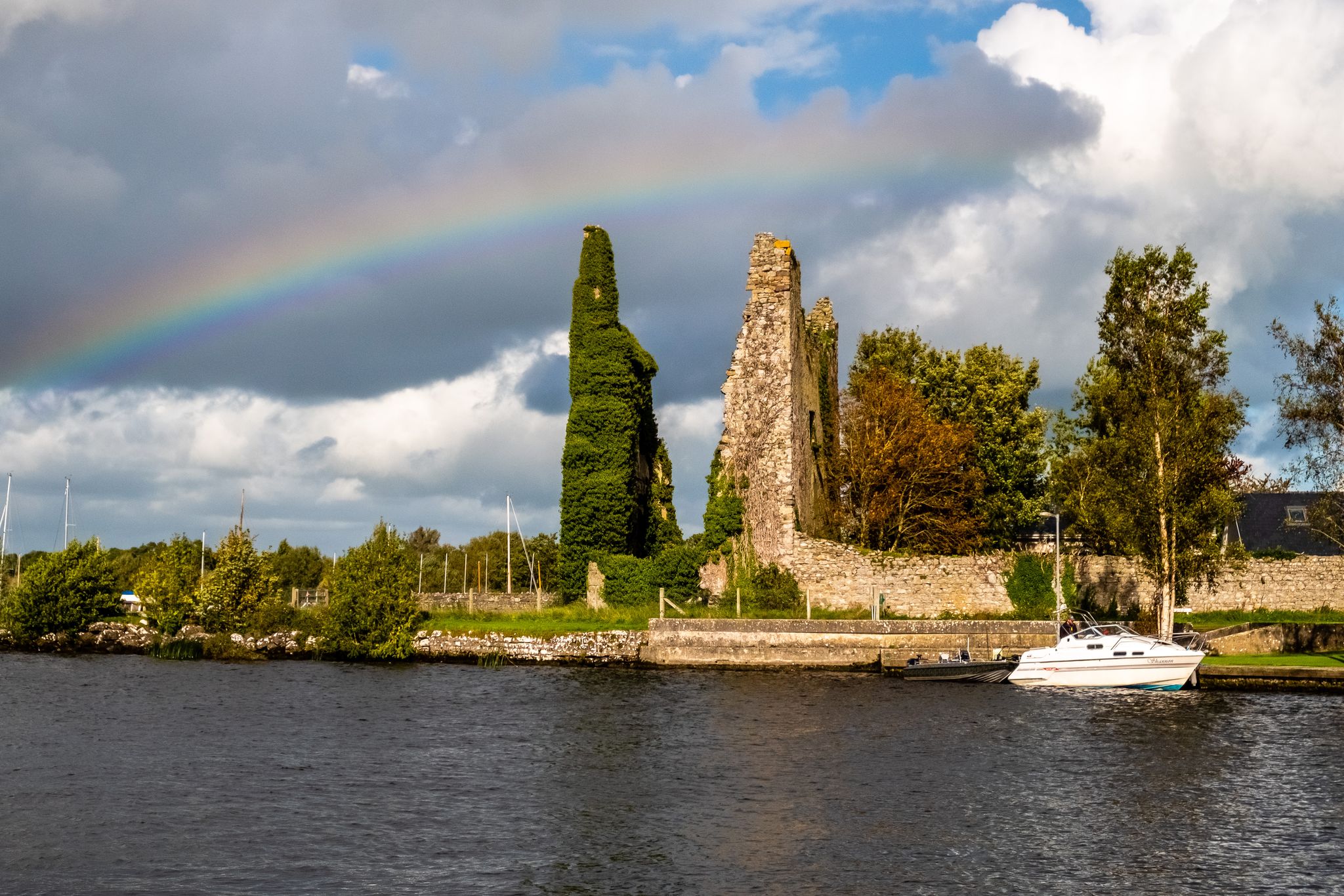
Bus station hiking trails around Lough Derg offer access to Ireland's third-largest lake, characterized by its 179 km of indented shoreline, tree-lined shores, and island-dotted bays. The region features a diverse landscape of ancient woodlands, rolling hills, and picturesque mountains that provide panoramic views. Trails often follow riverbanks, canals, and old roadways, connecting charming villages and natural areas.
Best bus station hiking trails around Lough Derg
- The most popular bus station hiking route is Rinmaher Trail, a 5.3 miles…
Last updated: June 29, 2026
4.7
(18)
49
hikers
8.56km
02:13
40m
40m
Moderate hike. Good fitness required. Easily-accessible paths. Suitable for all skill levels.
5.0
(6)
17
hikers
Moderate hike. Good fitness required. Easily-accessible paths. Suitable for all skill levels.
5.0
(2)
15
hikers
Easy hike. Great for any fitness level. Easily-accessible paths. Suitable for all skill levels.
Get access to more routes and recommendations from other explorers.
Sign up for free
Already have an account?
Our route recommendations are based on thousands of hikes, rides, and runs completed by other people on komoot.
Start today with a free account
Your next adventure awaits.
Login or Signup
Popular around Lough Derg

Other adventures around Lough Derg


Tips from the Community

Bird observation post - no longer accessible, fallen trees
0
0


But unfortunately there is nothing to see
0
1
There is obviously a pair of white-tailed eagles with a nest
0
1
Frequently Asked Questions
How many bus-accessible hiking trails are available around Lough Derg?
There are over 5 dedicated hiking trails around Lough Derg that are easily accessible from bus stations, offering a convenient way to explore the region without a car.
What kind of terrain can I expect on bus-accessible hikes in Lough Derg?
The bus-accessible trails around Lough Derg offer a diverse range of terrain. You can expect peaceful lakeside paths, ancient woodlands, and some routes with gentle ascents providing scenic views. The region is known for its tree-lined shores and picturesque hills.
Are there easy hiking options accessible by bus in Lough Derg?
Yes, there are several easy hiking options accessible by bus. For example, the Portumna Harbour and Wetlands – Portumna Friary Ruins loop from Portumna Castle is an easy route that takes you through scenic wetlands and past historical ruins, perfect for a relaxed outing.
What interesting sights can I see along bus-accessible hiking trails in Lough Derg?
Many bus-accessible trails offer views of the stunning Lough Derg Shoreline. You might also encounter historical sites like Garrykennedy Harbour and Castle Ruins, or enjoy the natural beauty of areas like the Twomilegate Lakeside Recreation Area. Keep an eye out for the Lough Derg Bird Hide for wildlife spotting.
When is the best time of year to hike from bus stations in Lough Derg?
Lough Derg is beautiful year-round, but spring and autumn offer particularly pleasant hiking conditions with mild temperatures and vibrant natural colours. Summer is also popular, though trails can be busier. Winter hikes can be serene, but always check local conditions and bus schedules.
Are the bus-accessible trails around Lough Derg suitable for families?
Absolutely! Many of the bus-accessible trails are suitable for families, especially the easier routes that feature relatively flat paths and interesting points of interest. Portumna Forest Park, for instance, offers trails with unique fairy doors, which are a hit with children.
Can I bring my dog on these bus-accessible hikes?
Many trails in the Lough Derg region are dog-friendly, but it's always best to keep your dog on a lead, especially in areas with livestock or wildlife. Please check specific trail regulations and be mindful of other hikers and the environment.
Are there circular hiking routes accessible by bus around Lough Derg?
Yes, there are circular routes designed for convenience. The An Caisleán Pub – St Brigid's Church, Portumna loop from Portumna Castle is a moderate circular hike that allows you to start and end at the same point, often near a bus stop.
What do other hikers enjoy most about the bus-accessible trails in Lough Derg?
The bus-accessible trails in Lough Derg are highly rated by the komoot community, with an average score of 4.6 stars. Reviewers often praise the convenience of public transport access, the stunning lakeside views, and the peaceful atmosphere of the woodlands and shoreline paths.
Are there any moderate bus-accessible hikes with good views?
For a moderate hike with rewarding views, consider the Rinmaher Trail. This route offers a good balance of challenge and scenic beauty, allowing you to experience the diverse landscapes of the Lough Derg area.
Are there places to eat or drink near the bus-accessible hiking routes?
Yes, several bus-accessible routes pass near charming villages and towns where you can find pubs and restaurants. For example, Larkins Pub & Restaurant is a popular spot that might be conveniently located near some trailheads.
Most popular routes around Lough Derg
Most popular attractions around Lough Derg

Get inspired with the komoot mobile app


