The best family-friendly hikes and walks around Stausee Mattmark
4.6
(1959)
14,387
hikers
17
hikes
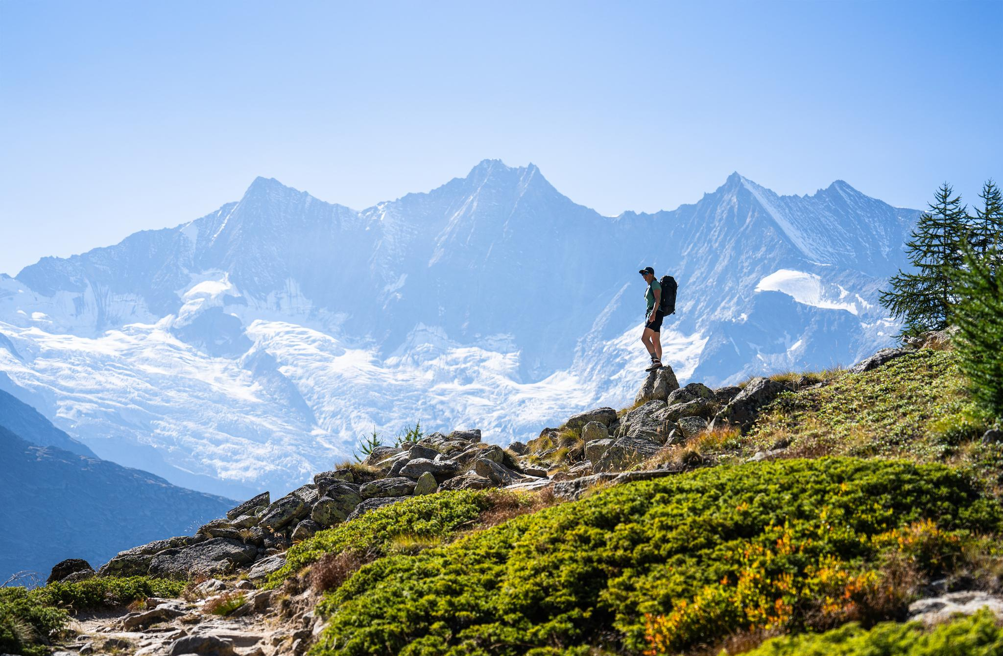
Family friendly hiking trails around Stausee Mattmark are set in a high-alpine environment, characterized by the turquoise-blue artificial lake at over 2,000 meters above sea level. The region is framed by prominent peaks, including the Allalinhorn, and features the impressive Mattmark Dam. The landscape includes glacial formations, numerous waterfalls, and opportunities for wildlife observation along the trails.
Best family friendly hiking trails around Stausee Mattmark
- The most popular family friendly hiking route is Mattmark Reservoir – View of the Mattmark…
Last updated: October 15, 2026
4.9
(14)
131
hikers
7.63km
03:17
680m
110m
Hard hike. Good fitness required. Sure-footedness, sturdy shoes and alpine experience required.
4.9
(22)
155
hikers
16.2km
06:42
790m
790m
Hard hike. Very good fitness required. Sure-footedness, sturdy shoes and alpine experience required.

5.0
(7)
165
hikers
Hard hike. Very good fitness required. Sure-footedness, sturdy shoes and alpine experience required.
4.8
(4)
60
hikers
10.3km
04:30
600m
600m
Hard hike. Good fitness required. Sure-footedness, sturdy shoes and alpine experience required.
4.7
(3)
46
hikers
15.7km
06:47
900m
900m
Hard hike. Very good fitness required. Sure-footedness, sturdy shoes and alpine experience required.
Get access to more routes and recommendations from other explorers.
Already have an account?
Our route recommendations are based on thousands of hikes, rides, and runs completed by other people on komoot.
Start today with a free account
Your next adventure awaits.
Popular around Stausee Mattmark


Tips from the Community

Descent from Seewjinu to Distelalp. Good footwear recommended.
0
0
A small path leads down from the road to this spot.
0
0

Was worshipped by smugglers
0
0

The Monte Moro Pass is located on the border between Switzerland and Italy, connecting the Saas Valley in Valais to the Anzasca Valley in Piedmont. The unique feature of this pass is that it is accessible via a medieval mule track. The route and photos are available at: https://treksrandos.fr/alpes/valais/alpes-pennines/col-de-monte-moro/
0
1

From the dam you have a great view of the Saas Valley and the Valais mountains.
7
0

Super beautiful view ☺️ , also of the many waterfalls.
5
0
The Glacier Trail is a magnificent alpine hike connecting Saas Fee (Felskinn) to the Mattmark Dam, crossing the Hohlaub and then Allalin glaciers. As a bonus, it's possible to climb the Klein Allalin, located above the Britannia Hut and culminating at 3,070 meters. The route and photos are available at: https://treksrandos.fr/alpes/valais/alpes-pennines/glacier-trail/
0
0

A beautiful vantage point of the Mattmark Reservoir. This reservoir is located at the southern end of the Saas Valley at an altitude of 2,197 meters, nestled in the impressive mountains near Saas-Almagell. With a length of approximately three kilometers and a maximum width of 800 meters, it is one of the larger reservoirs in the region. It is fed by various mountain streams, such as the Saaser Vispa, the Schwarzbergbach, and the Ofentalbach. Behind the imposing 120-meter-high earthfill dam, the Vispa continues downstream toward the Rhone Valley.
0
0
Frequently Asked Questions
How many family-friendly hiking trails are available around Stausee Mattmark?
The Stausee Mattmark area offers a good selection of trails suitable for families. While there are 18 routes in total, you'll find several easy and moderate options perfect for a family outing.
Are there any easy circular walks suitable for families around the reservoir?
Yes, a popular and easy option is the loop around the reservoir itself. The Mattmark Reservoir – View of the Mattmark Reservoir loop from Staudamm Mattmark is a great choice, offering beautiful views and a manageable distance for families.
Can we take a stroller or pushchair on any of the trails?
Yes, the path along the west shore of the Mattmark Reservoir is known to be accessible for wheelchairs and strollers, making it a great option for families with very young children or those needing easier access.
What kind of natural attractions can we see along the family trails?
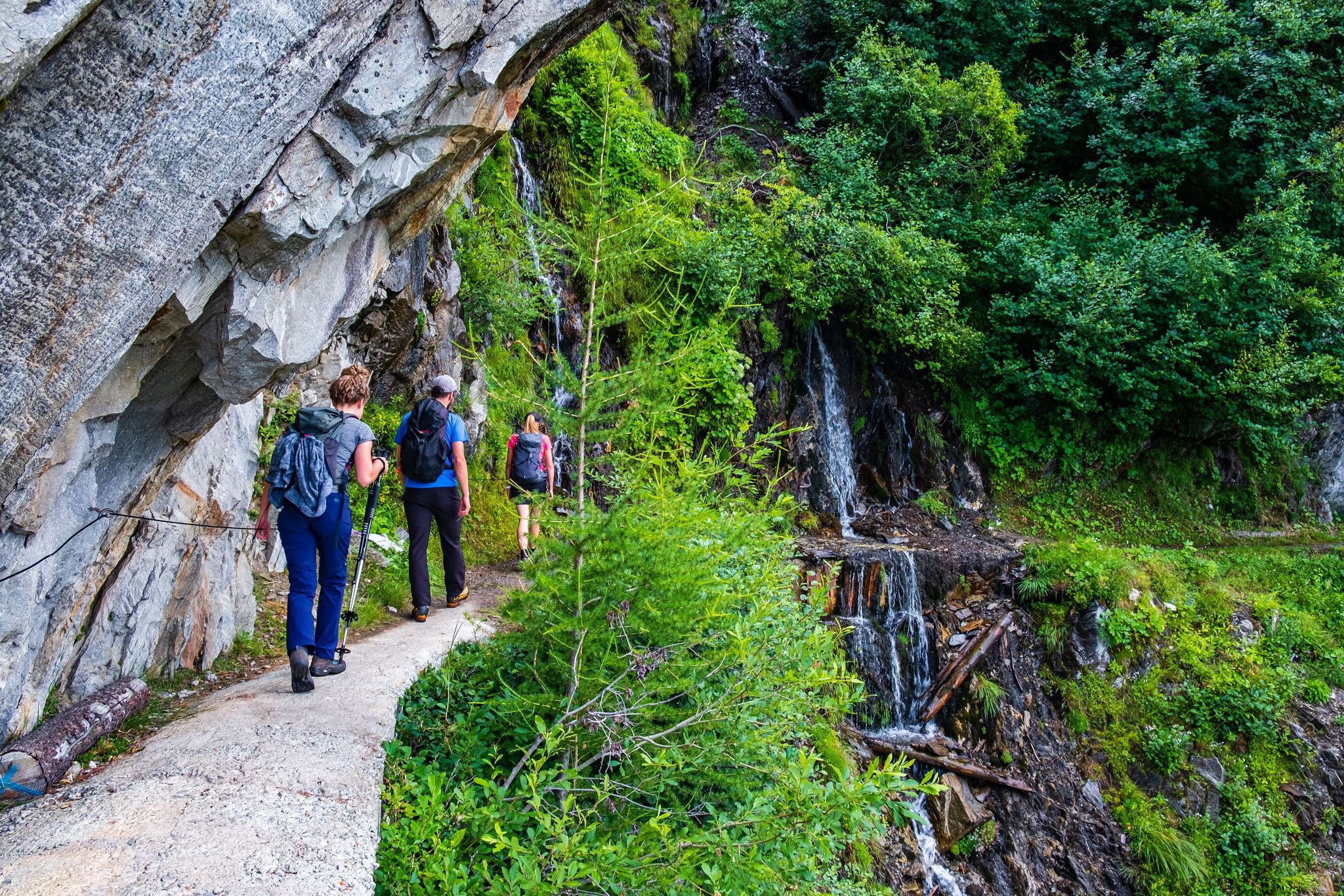
Along the trails, especially around the reservoir, you can enjoy stunning alpine scenery, numerous waterfalls, and even an impressive waterfall flowing over hexagonal basalt columns. Keep an eye out for local wildlife too!
Are there any interesting landmarks or points of interest for kids?
Absolutely! The impressive Mattmark Reservoir itself is a sight to behold. Kids might also enjoy walking through tunnels along the path and discovering the unique Icicle Tunnel at the Mattmark Reservoir. The Mattmark Dam, as Europe's largest earth dam, is also a fascinating structure to see.
Is it possible to hike with dogs around Stausee Mattmark?
Yes, the Stausee Mattmark area is generally dog-friendly. Many trails, especially the loop around the reservoir, are suitable for hiking with your canine companion. Remember to keep dogs on a leash and clean up after them.
How can we get to Stausee Mattmark using public transport?
Stausee Mattmark is accessible by public transport. You can typically reach the area via bus services, often connecting from larger towns in the Saas Valley. It's advisable to check local bus schedules for the most current information.
Where can we park our car when visiting Stausee Mattmark?
There is parking available at Staudamm Mattmark, which is a convenient starting point for many of the trails, including the popular reservoir loop. This makes it easy to access the family-friendly routes.
What is the best time of year for a family hike around Stausee Mattmark?
The best time for family hiking around Stausee Mattmark is typically during the warmer months, from late spring to early autumn. During this period, the trails are clear of snow, and the weather is pleasant for outdoor activities. Always check local conditions before heading out.
Are there places to eat or get refreshments near the trails?
Yes, there are options for refreshments. You'll find a restaurant located on the dam crest, offering stunning views of the reservoir and Monte Moro Pass, perfect for a break during or after your hike.
What do other families enjoy most about hiking here?
The komoot community highly rates the Stausee Mattmark area, with an average score of 4.58 stars. Reviewers often praise the dramatic alpine scenery, the tranquil turquoise lake, and the diverse trails that cater to various fitness levels, making it a memorable experience for families.
Are there any shorter, easy routes for families with toddlers?
For families with toddlers, the accessible sections of the path along the west shore of the Mattmark Reservoir are ideal. These flatter, shorter stretches allow for an enjoyable outing without requiring extensive walking, and are suitable for strollers.
Most popular routes around Stausee Mattmark
Most popular attractions around Stausee Mattmark

Get inspired with the komoot mobile app


