The best hikes from bus stations in the La Sal Mountains
4.8
(781)
12,498
hikers
10
hikes
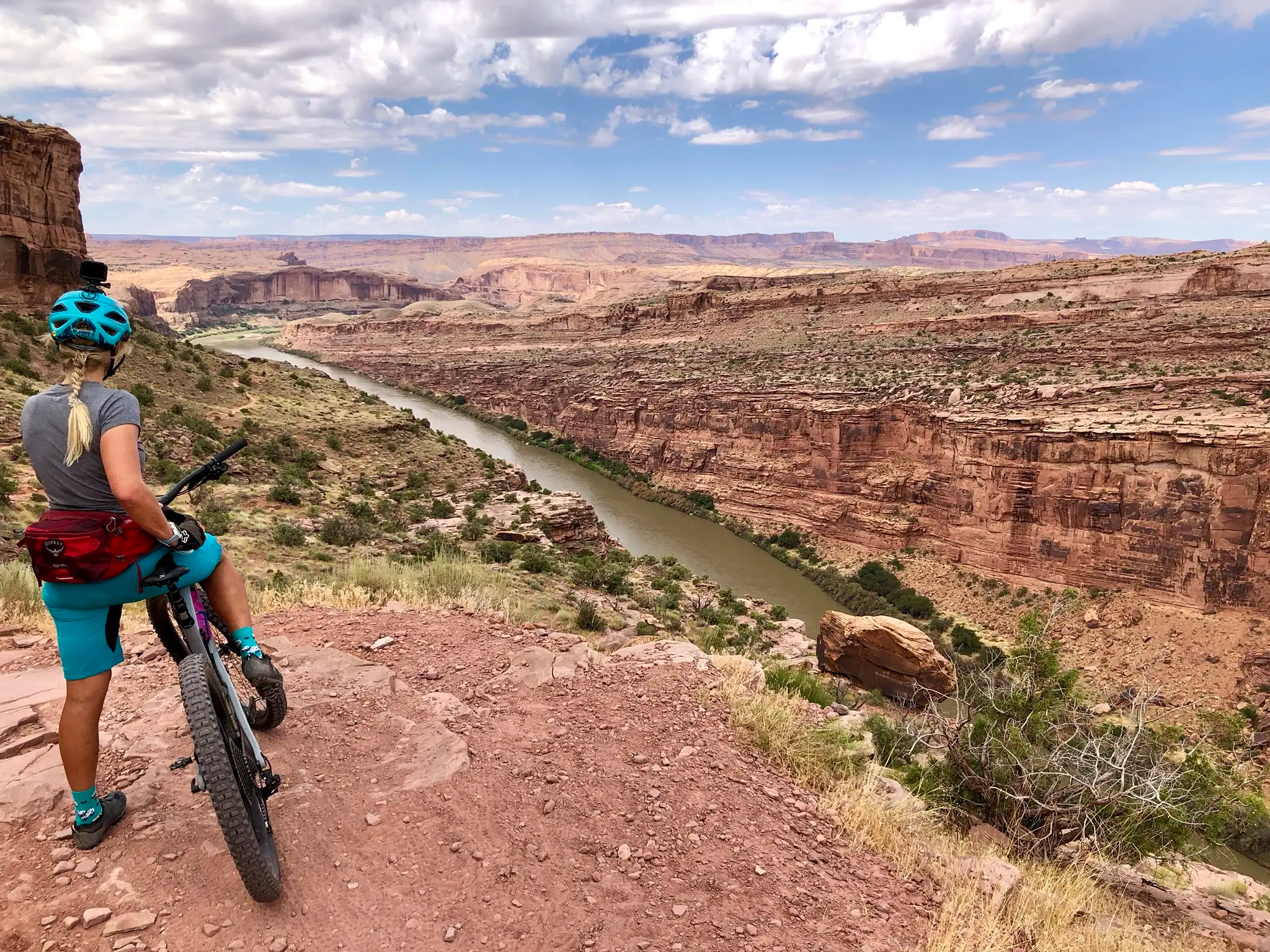
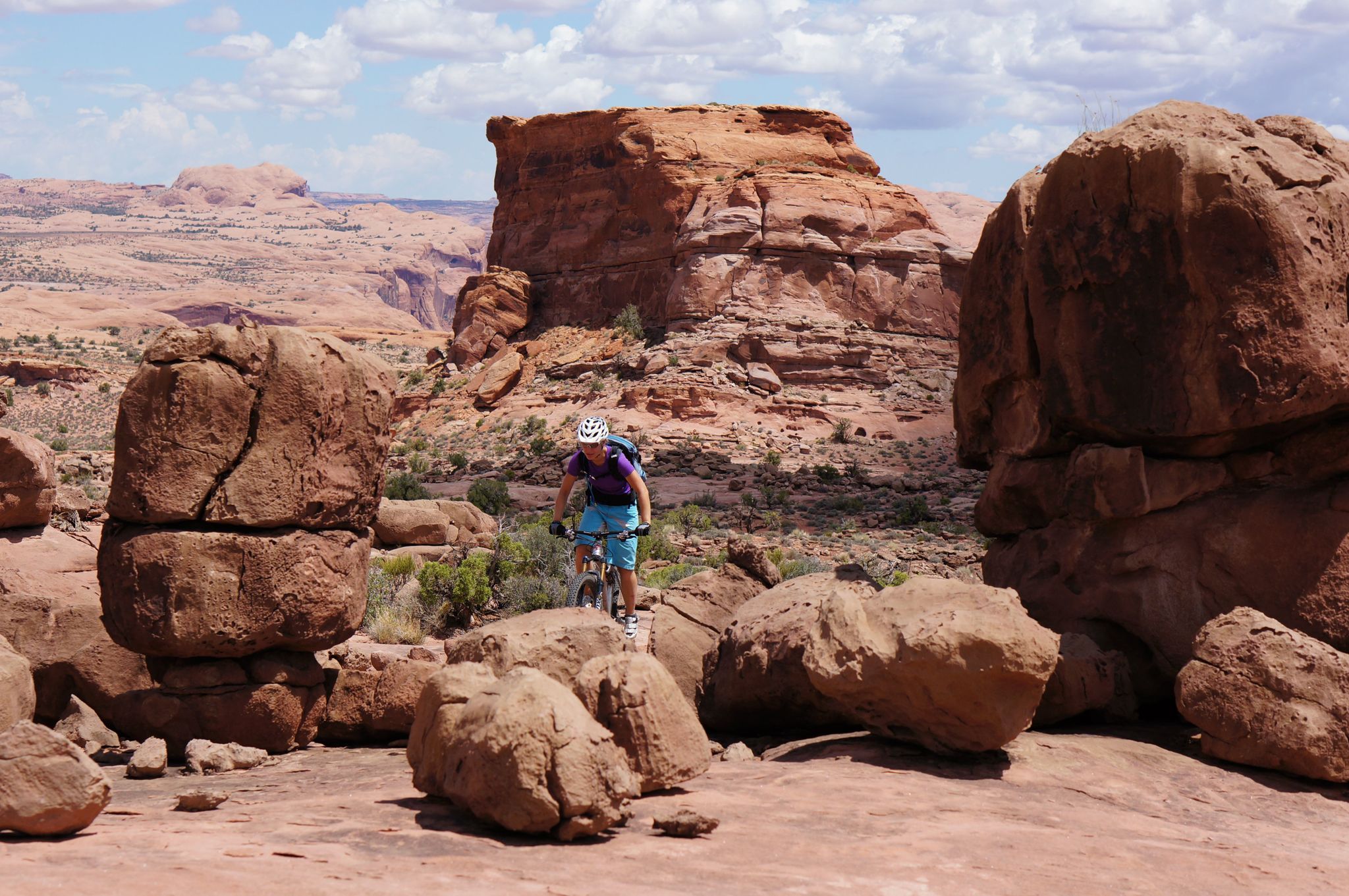
Hiking in the La Sal Mountains offers a distinct contrast to the surrounding desert, with peaks rising to alpine environments. The region features a transition from arid terrain to forests of aspen, pine, spruce, and fir, alongside meadows and lakes. Geologically, these laccolith mountains present a varied landscape of igneous intrusions and sedimentary layers. Views often encompass both the mountain ranges and the red rock canyons below.
Best bus station hiking trails in the La Sal Mountains
- The most popular…
Last updated: August 22, 2026
5.0
(4)
14
hikers
Hard hike. Very good fitness required. Easily-accessible paths. Suitable for all skill levels.
13
hikers
1.71km
00:26
0m
0m
Easy hike. Great for any fitness level. Easily-accessible paths. Suitable for all skill levels.

Sign up for free
13
hikers
2.15km
00:33
10m
10m
Easy hike. Great for any fitness level. Easily-accessible paths. Suitable for all skill levels.
4.5
(4)
14
hikers
12.3km
03:15
120m
120m
Moderate hike. Good fitness required. Easily-accessible paths. Suitable for all skill levels.
9
hikers
Easy hike. Great for any fitness level. Easily-accessible paths. Suitable for all skill levels.
Get access to more routes and recommendations from other explorers.
Sign up for free
Already have an account?
Our route recommendations are based on thousands of hikes, rides, and runs completed by other people on komoot.
Start today with a free account
Your next adventure awaits.
Login or Signup

Other adventures in the La Sal Mountains


Tips from the Community

Parts of the cycle path along US-191
1
0

Appropriate art for the area
1
0
Beautifully made
1
0
Frequently Asked Questions
How many bus-accessible hiking trails are available in the La Sal Mountains region?
There are currently 6 easy hiking routes available that are accessible from bus stations in the Moab area, offering convenient starting points for exploring the region's unique landscape.
What is the typical difficulty and length of these bus-accessible trails?
All 6 routes listed in this guide are rated as easy, making them suitable for most hikers. They are generally short, ranging from approximately 1.1 km to 7.5 km in length, with minimal elevation gain. For example, the Mural Wildlife – Mural "The Delicate Arch" loop from Moab is just over 1 km, while the Mural "The Delicate Arch" – Moab Food Truck Park loop from Holiday Inn is about 7.5 km.
Are these bus-accessible trails suitable for families with children?
Yes, given their easy difficulty rating, short distances, and minimal elevation changes, these routes are very suitable for families with children. They offer a great way to enjoy the outdoors without strenuous effort.
What kind of scenery can I expect on these bus-accessible hikes?
While these specific routes are located in the Moab area, they offer views towards the majestic La Sal Mountains, which provide a stunning alpine contrast to the surrounding red rock desert. You'll experience the unique blend of arid terrain and distant mountain vistas. The routes themselves often feature local points of interest within Moab.
What do other hikers enjoy most about these trails?
The routes in this region are highly rated by the komoot community, with an average score of 4.81 stars from 684 ratings. Hikers often praise the accessibility, the ease of the trails, and the opportunity to experience the unique desert-mountain transition landscape.
Are there any interesting landmarks or attractions near these bus-accessible routes?
Yes, while hiking these routes, you'll be close to various attractions. The broader La Sal Mountains region is home to iconic natural monuments like North Window Arch, Turret Arch, and Double Arch. You can also find the impressive Morning Glory Natural Bridge in nearby gorges.
Can I bring my dog on these bus-accessible trails?
Many trails in the Moab area and surrounding public lands are dog-friendly, but specific regulations can vary. It's always best to check local signage or the land management agency's website for the most current rules regarding pets on individual trails. Generally, dogs should be kept on a leash.
What is the best time of year to hike these bus-accessible trails?
The La Sal Mountains region experiences distinct seasons. Spring and fall offer the most pleasant hiking conditions with mild temperatures. Summer can be very hot in the desert lowlands, making early morning or late afternoon hikes preferable. Winter can bring snow to higher elevations, but the lower-lying bus-accessible routes might still be enjoyable on clear days.
Are there any circular routes available from bus stations?
Yes, all 6 routes listed in this guide are circular, meaning they start and end at the same point, making them very convenient for bus users. Examples include the Mural Wildlife – Moab Food Truck Park loop from Moab and the Ford Bench – Moab Food Truck Park loop from Moab.
Where do these bus-accessible hikes typically start from?
These routes primarily start from locations within Moab, such as near the Moab Food Truck Park or the Holiday Inn, which are points easily accessible by local public transport or within walking distance of bus stops. This allows for convenient access to the trails without needing a personal vehicle.
Are there cafes or amenities near the starting points of these trails?
Since these routes start within Moab, you'll find a variety of cafes, restaurants, and other amenities conveniently located near the starting points, such as the Moab Food Truck Park. This makes it easy to grab a bite or a drink before or after your hike.
Most popular routes in the La Sal Mountains
Most popular attractions in the La Sal Mountains

Get inspired with the komoot mobile app


