The best gravel rides in the La Sal Mountains
5.0
(3)
31
riders
4
rides
Gravel biking in the La Sal Mountains offers diverse terrain ranging from alpine environments to red rock desert fringes. The region is characterized by dense forests of pine and aspen, towering peaks, and significant elevation changes. Gravel roads and dirt tracks provide access to cooler temperatures at higher altitudes, contrasting with the surrounding arid landscape. This area features a network of routes suitable for varied off-road cycling experiences.
Best gravel bike trails in the La Sal Mountains
- The most popular…
Last updated: August 9, 2026
5.0
(2)
18
riders
Hard gravel ride. Very good fitness required. Mostly paved surfaces. Suitable for all skill levels.
5
riders
78.2km
05:43
1,490m
1,490m
Hard gravel ride. Very good fitness required. Mostly paved surfaces. Suitable for all skill levels.

Sign up for free
2
riders
70.0km
05:17
1,010m
1,010m
Hard gravel ride. Very good fitness required. Mostly paved surfaces. Suitable for all skill levels.
Our route recommendations are based on thousands of hikes, rides, and runs completed by other people on komoot.
Start today with a free account
Your next adventure awaits.
Login or Signup
Popular around La Sal Mountains
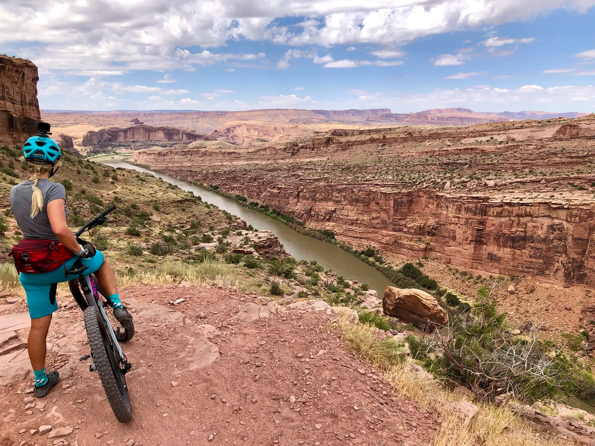
Kokopelli's Trail — Biking a legend’s trail across the desert

Canyons, Plateaus and Hoodoos – discover Southwest USA
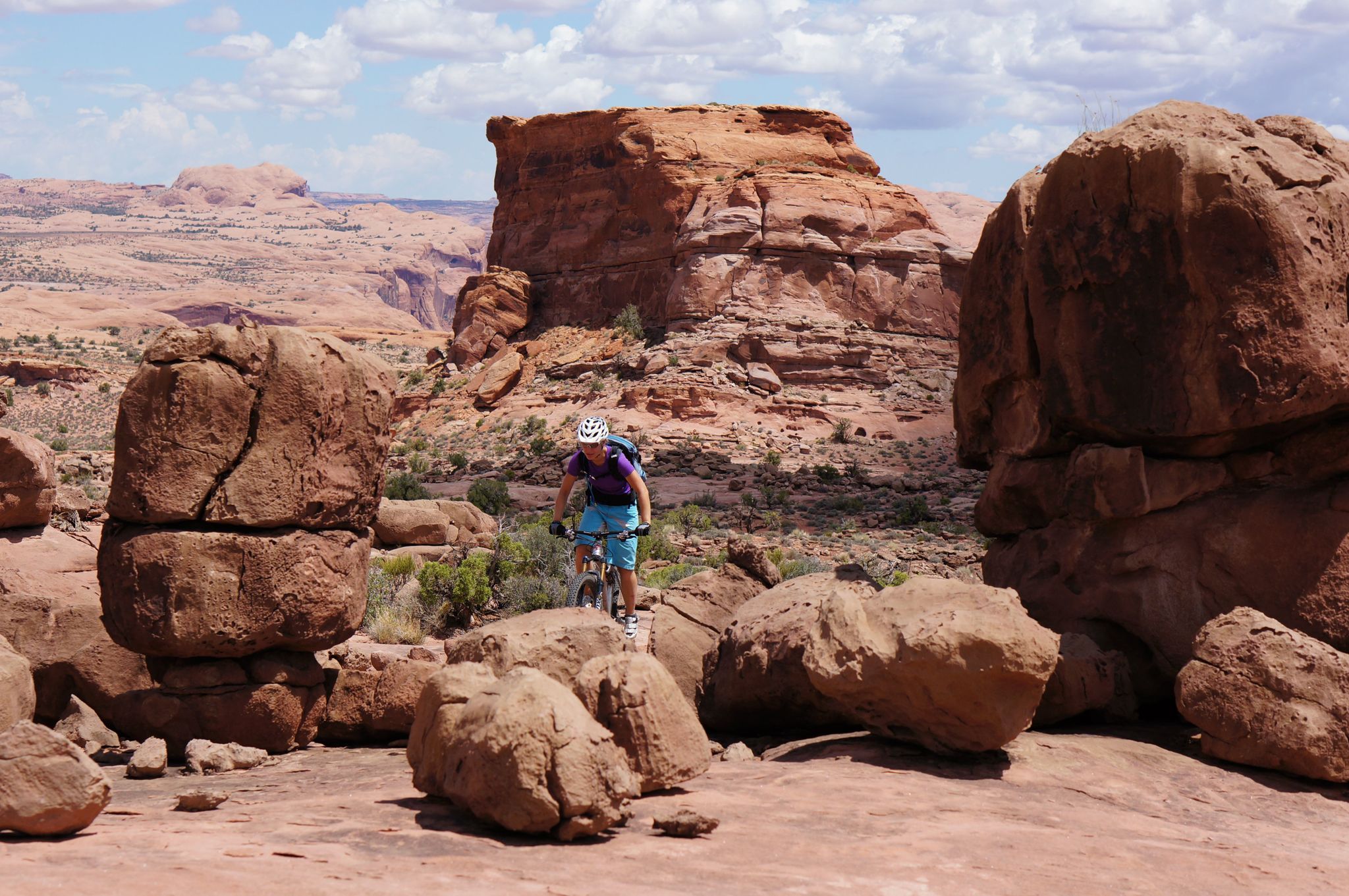
MTB Trip to Moab – a mountain bike Mecca in Utah
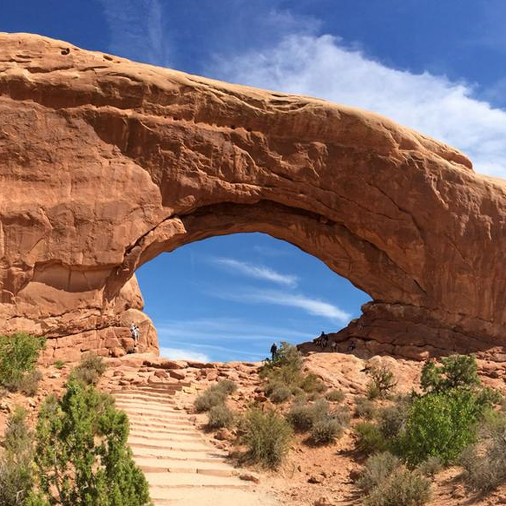
Hiking in the La Sal Mountains
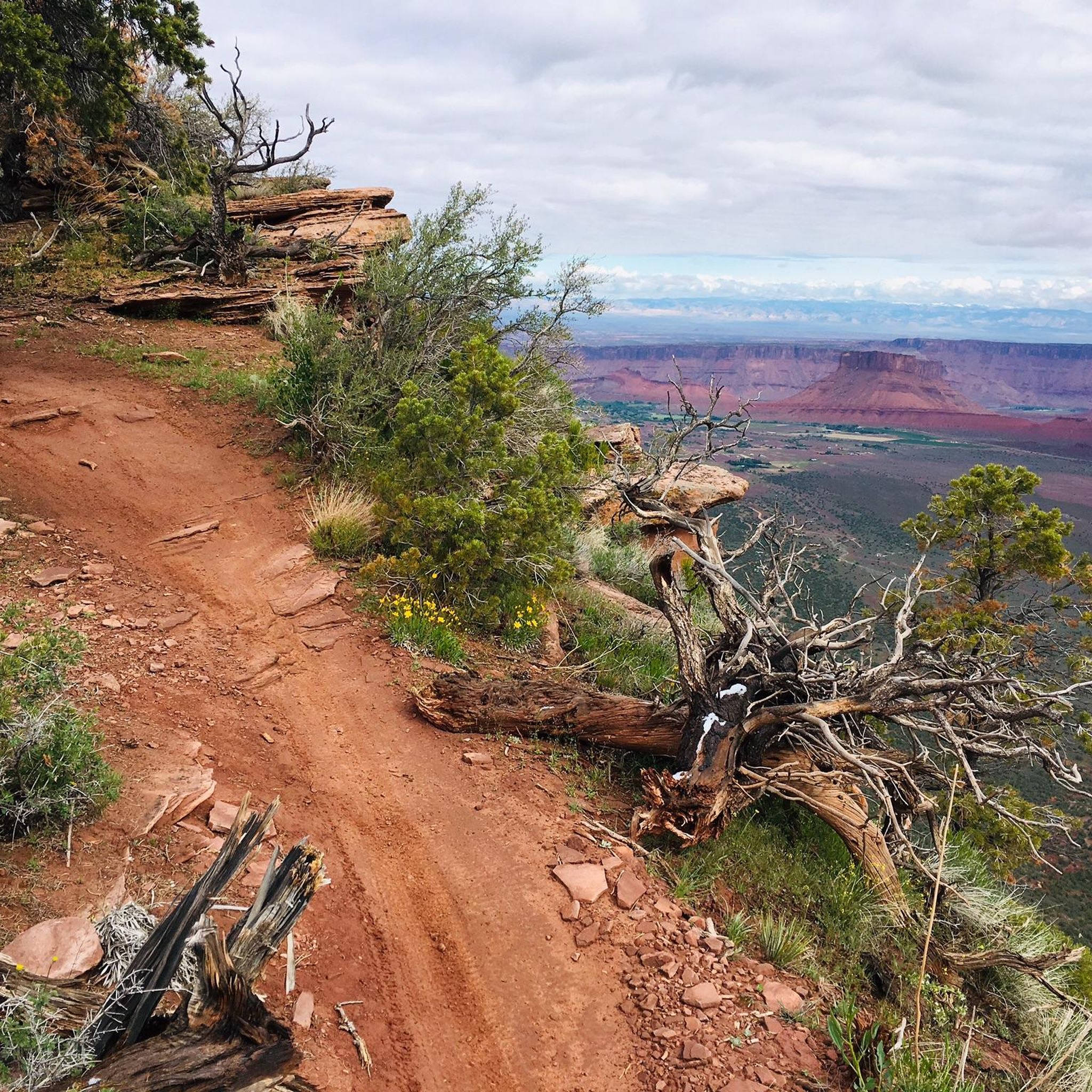
Running Trails in the La Sal Mountains
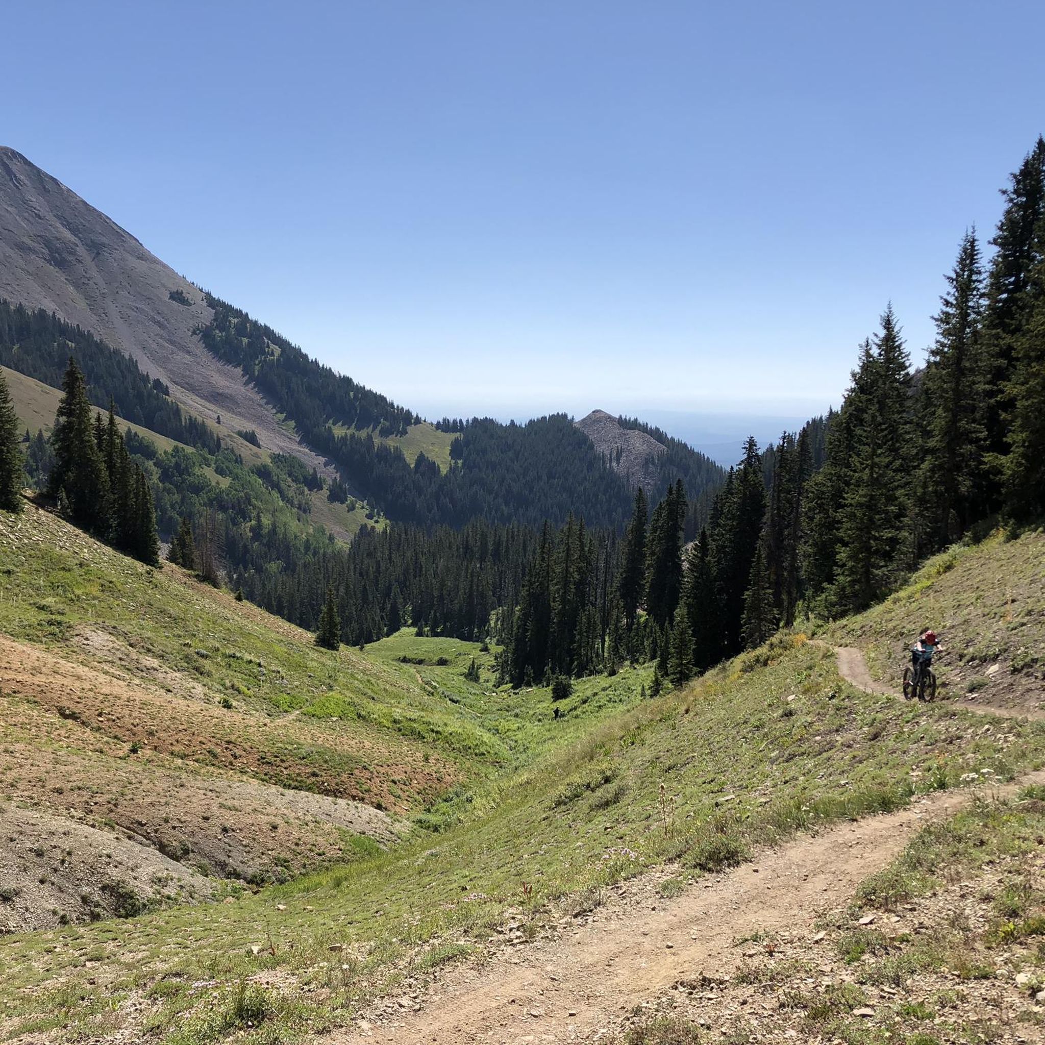
MTB Trails in the La Sal Mountains
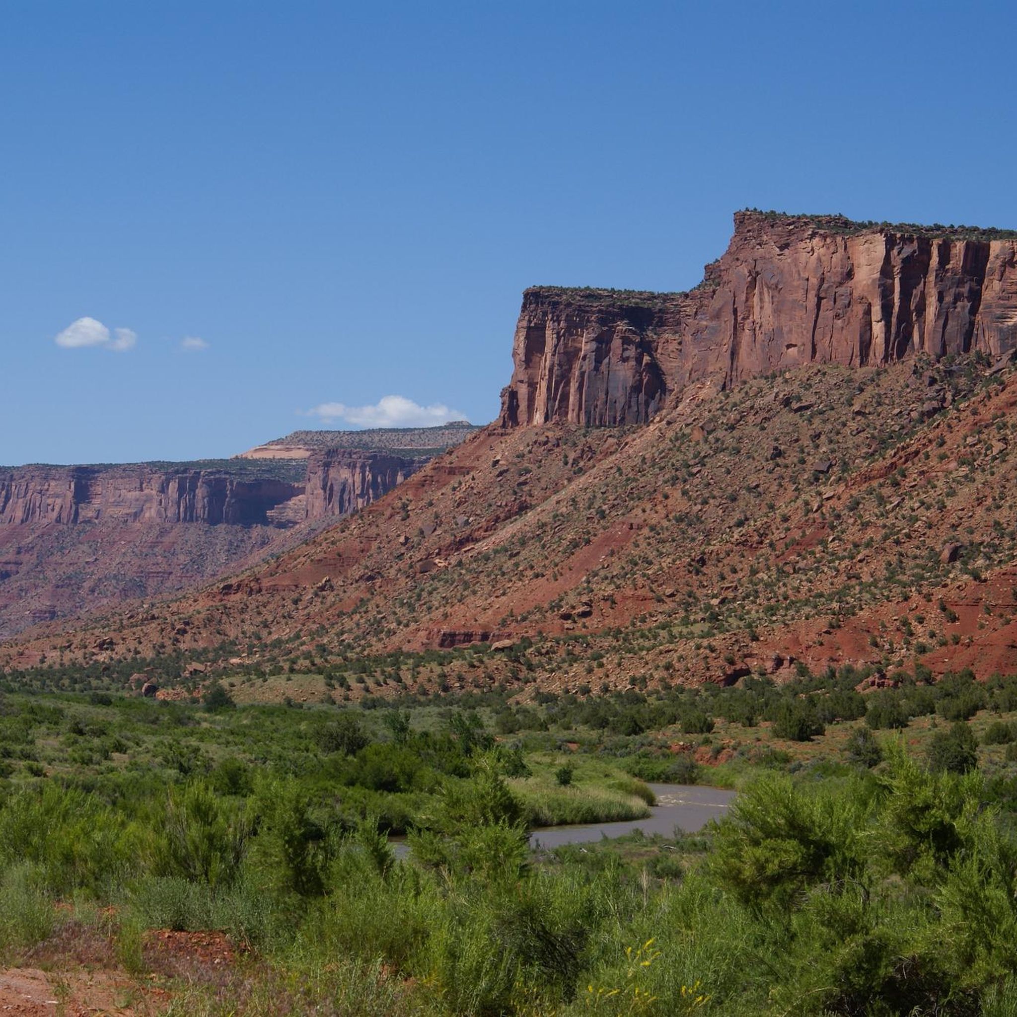
Cycling in the La Sal Mountains
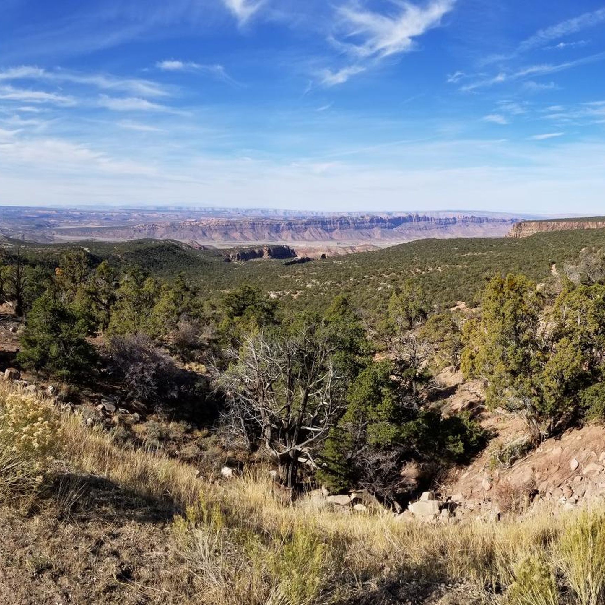
Road Cycling Routes in the La Sal Mountains
Other adventures in the La Sal Mountains


Tips from the Community

Parts of the cycle path along US-191
1
0
A super bike path that is well maintained. Super usable for training
1
0


Moab is a desert gateway town built for adventurers, framed by red-rock arches and mesas all set along the Colorado River. It’s the ideal base for exploring world-famous landscapes like Arches and Canyonlands National Parks, plus slickrock mountain biking, rafting excursions, and scenic drives through rugged canyon country. Downtown offers a nice mix of good food, galleries, gear shops, and local hospitality.
0
0


This paved, off-the-road bike trail runs all the way from just north of Moab to the entrance for Arches National Park, and a few miles beyond. If you have enough power in your quads, you can even use this as a link-up to ride all the way to Canyonlands National Park.
1
0
You can get amazing views without ever going past the visitor center, but you're also allowed to bike down the main park road if you like. Or, for a different but equally scenic experience, you can bike the paved roadside path between here and Moab.
0
0
The Moab Brands Trails, aka Bar M Trails, have a little something for everyone. You'll find cruisey singletrack loop perfect for beginners, challenging technical sections for intermediates looking to improve their skills, and white knuckle downhill runs for experts only. Keep in mind that some trails are one-way only, so be sure you're not caught heading in the wrong direction.
0
0
Frequently Asked Questions
What kind of terrain can I expect on gravel bike trails in the La Sal Mountains?
The La Sal Mountains offer a diverse gravel biking experience, ranging from hard-packed gravel and dirt roads to some paved sections. You'll encounter dense forests of pine and aspen, significant elevation changes, and routes that provide a striking contrast between alpine environments and red rock desert fringes. Expect engaging climbs and exhilarating descents.
How many gravel bike trails are available in the La Sal Mountains?
There are several gravel bike trails in the La Sal Mountains, with komoot featuring 5 routes. These routes are generally considered difficult, offering challenging climbs and varied terrain for experienced gravel bikers.
What are some notable natural features or landmarks I can see while gravel biking in the La Sal Mountains?
The La Sal Mountains offer breathtaking views and unique natural features. You can explore alpine lakes like Warner Lake and Oowah Lake, or enjoy panoramic vistas stretching across red rock canyons. Nearby attractions include the Morning Glory Natural Bridge, the scenic Sand Flats gravel road, and impressive rock formations like North Window Arch and Double Arch.
What is the best time of year to go gravel biking in the La Sal Mountains?
The La Sal Mountains are particularly appealing during warmer months, as the higher elevations offer cooler temperatures—often 10-20 degrees Fahrenheit lower than Moab. Autumn is also a prime time, when aspen groves transform into vibrant displays of yellow and orange, creating a stunning backdrop for your ride.
Are there any long-distance gravel bike routes for experienced riders?
Yes, for experienced riders seeking a substantial challenge, consider the Matrimony Spring – Slickrock Trailhead loop from Lions Park. This route spans 52.5 miles (84.5 km) and features significant climbs, often taking around 7 hours and 20 minutes to complete.
What do other gravel bikers say about the trails in the La Sal Mountains?
The gravel bike trails in the La Sal Mountains are highly rated by the komoot community, with an average score of 5.0 stars. Reviewers often praise the challenging elevation changes, the diverse alpine and red rock landscapes, and the escape from the desert heat that the higher altitudes provide.
Are there any circular gravel bike routes in the La Sal Mountains?
Yes, many of the gravel routes in the La Sal Mountains are designed as loops. For example, you can explore the Courthouse Wash – Moab Canyon Pathway loop from Holiday Inn, which is a 31.7-mile (51.1 km) trail with varied terrain.
What kind of elevation gains can I expect on these gravel bike trails?
The La Sal Mountains are known for significant elevation changes. Routes often involve substantial climbs; for instance, the Slickrock Trailhead – Sand Flats gravel road loop from Moab includes over 660 meters (2,165 feet) of ascent over its 22.2 miles (35.7 km).
Can I find routes that combine different types of scenery, like canyons and mountains?
Absolutely. The La Sal Mountains are unique for their striking contrast. Routes often transition from the red rock desert fringes and canyons, like those near the Hawks Glide Trail, into lush alpine forests at higher elevations, offering a dynamic visual experience throughout your ride.
Are there any gravel routes that start near Moab?
Yes, several routes are accessible from or near Moab. The Slickrock Trailhead – Sand Flats gravel road loop from Moab is a popular option, offering views of the red rock landscape. Another choice is the Moab Canyon Pathway – Courthouse Wash loop from Eye of the Whale Trailhead Parking.
What wildlife might I encounter while gravel biking in the La Sal Mountains?
The La Sal Mountains are home to various wildlife. Sightings are common, especially during early morning or dusk. Keep an eye out for deer, elk, and a variety of bird species as you ride through the diverse ecosystems.
Are there any particularly challenging gravel routes for advanced riders?
All the gravel routes featured in the La Sal Mountains are rated as difficult, making them suitable for advanced riders. The Nucla Town Entrance Signs loop from Nucla, for instance, covers over 70 km with more than 1000 meters of elevation gain, providing a significant test of endurance and skill.
Most popular routes in the La Sal Mountains
Most popular attractions in the La Sal Mountains

Get inspired with the komoot mobile app


