The best family-friendly hikes and walks in Tàtari/Sassari
4.3
(13240)
68,277
hikers
1,415
hikes
Family friendly hiking trails in Tàtari/Sassari traverse a diverse landscape featuring rugged mountains, pristine coastlines, and lush forests. The region is characterized by imaginative granite rocks shaped by wind and water, creating unique formations. Hikers can explore areas ranging from the mountainous terrain of Monte Limbara to the wild Mediterranean scrub along the coast. This variety offers a range of experiences for families seeking outdoor activities.
Best family friendly hiking trails in Tàtari/Sassari
- The most popular family friendly hiking route is Capo Figari and Punta Semaforo Loop, a 7.9 mile (12.7 km) trail that takes 3 hours 44 minutes to complete. This route offers panoramic views of the Gulf of Olbia and coastal scenery.
- Another top favourite among local hikers is Torre del Bollo Trail, a moderate 3.6 mile (5.8 km) path. This trail features historical watchtowers and views of the coastline.
- Local hikers also love the Isola Rossa and Cala Canneddi Coastal Trail, a 6.7 mile (10.8 km) trail leading through red granite rocks and Mediterranean scrub, often completed in about 2 hours 53 minutes.
- Hiking in Tàtari/Sassari is defined by diverse coastlines, mountainous terrain, and lush forests. The network offers options for different ability levels, including easy family friendly routes.
- The routes in Tàtari/Sassari are highly rated by the komoot community with an average score of 4.3 stars from over 10,000 reviews. More than 54,000 hikers have used komoot to explore Tàtari/Sassari's varied terrain.
Last updated: October 14, 2026
4.7
(322)
1,470
hikers
12.7km
03:44
340m
340m
Embark on the Capo Figari and Punta Semaforo Loop, a moderate hike covering 7.9 miles (12.7 km) with an elevation gain of 1130 feet (344 metres). This route typically takes about 3 hours and 44 minutes to complete, guiding you through varied terrain from coastal paths to rugged sections with Mediterranean scrub. You will pass by beautiful white sand beaches, including the secluded Cala Moresca. As you climb, enjoy expansive views of the Sardinian coastline, the Gulf of Olbia, and the iconic pyramid-shaped Figarolo Island. The summit of Punta Semaforo rewards you with a full 360-degree panorama, reaching Tavolara Island and, on clear days, even the cliffs of Bonifacio in Corsica.
To plan your visit, note that the starting point in Golfo Aranci is accessible by public transport. If you are driving, parking is available at the Baracconi. The trail begins near Cala Moresca, and you will find equipped rest areas with tables and benches along the way for convenient breaks. Be prepared for some steep ascents and rugged sections, especially as you approach the summit. Long trousers are recommended for these parts due to dense undergrowth.
This trail offers a unique journey through the stunning landscapes of Capo Figari in Sardinia. The path showcases the region's diverse natural beauty, from its distinctive limestone formations to its rich Mediterranean vegetation. It provides a comprehensive experience of the Sardinian coast, combining physical activity with rewarding visual discoveries. The views from Punta Semaforo are particularly notable, offering a broad perspective of the surrounding islands and distant shores.
4.6
(265)
1,042
hikers
5.83km
02:04
300m
300m
Embark on the Torre del Bollo Trail, a moderate hike spanning 3.6 miles (5.8 km) with an elevation gain of 983 feet (300 metres). You can expect to complete this route in about 2 hours and 3 minutes. As you hike, you will find yourself immersed in fragrant Mediterranean maquis, where cistus, junipers, and wild rosemary scent the air. The path offers continuous views of the sparkling blue Capo Caccia sea and the inviting turquoise waters of Cala Dragunara. Your journey culminates at the historic 17th-century Torre del Bollo, a former lookout tower, providing a tangible link to the region's past. Along the way, you will also catch glimpses of the dramatic Capo Caccia Cliffs, adding to the scenic beauty of your adventure.
Planning your visit to the Torre del Bollo Trail is straightforward. The route is generally accessible and suitable for hikers with varying fitness levels, making it a welcoming option for many. The ArchiMete tourist center serves as an ideal starting point for your exploration of this path. You will typically find parking available conveniently close to the trailhead, ensuring an easy start to your hiking experience. Consider starting your hike earlier in the day to enjoy cooler temperatures and fewer crowds, especially during peak seasons.
This trail is nestled within the Parco Naturale Regionale di Porto Conte, a protected area renowned for its rich biodiversity and stunning coastal landscapes. The presence of the 17th-century Torre del Bollo highlights the historical significance of this coastline, once vital for defense and observation. This region is a prime example of Mediterranean ecosystems, offering a chance to observe unique flora and fauna. The combination of historical landmarks and natural beauty makes this route a standout experience in the area.

4.5
(122)
482
hikers
10.8km
02:54
130m
130m
Embark on the Isola Rossa and Cala Canneddi Coastal Trail, a moderate hike spanning 6.7 miles (10.8 km) with an elevation gain of 418 feet (127 metres). This route takes you along the Sardinian coastline, where striking red rock formations meet the turquoise sea. You will experience varied terrain, from accessible paths to rocky sections, all while surrounded by fragrant Mediterranean scrub. The dramatic red granite cliffs create a sense of walking through natural, open-air canyons, offering abundant photo opportunities, especially around Cala Canneddi Beach, a secluded cove known for its incredibly clear water. You can expect to complete this journey in about 2 hours and 53 minutes.
This moderate hike requires a good level of fitness and sure-footedness, as some sections are unpaved and rocky. While the trail is generally accessible, always check local regulations before you go, as conditions can change. Ensure you wear appropriate footwear for varied terrain to maintain comfort and stability throughout your walk. Consider starting your hike earlier in the day to avoid the midday sun and to allow ample time to enjoy the coastal views.
The trail is notable for its unique geological features, with the red rock formations providing a stark and beautiful contrast to the clear blue waters of the Mediterranean. This area is part of the Isola Rossa – Costa Paradiso region, known for its rugged beauty and pristine coves. The natural environment here is rich with Mediterranean flora, adding to the sensory experience of your hike. Keep an eye out for the distinct red granite cliffs that define this particular stretch of coastline.
4.6
(172)
568
hikers
9.62km
02:39
170m
170m
Embark on the Pevero Healt Trail, a moderate hiking loop that takes you through the fragrant Mediterranean scrub of Sardinia's Emerald Coast. As you hike, you will encounter a mix of dirt roads, rocky sections, and ancient paths, sometimes skirting golf courses. The air is filled with the scents of juniper, mastic, myrtle, and wild olive. This route offers spectacular views of the Gulf of Pevero, where you can see its crystalline waters and the white sands of Grande Pevero Beach, along with distant islands like Li Nibani. The entire loop covers 6.0 miles (9.6 km) with an elevation gain of 547 feet (167 metres), typically taking about 2 hours and 39 minutes to complete.
Planning your visit to the Pevero Healt Trail is flexible, as you can begin your hike from several convenient points. Access the route from Grande Pevero beach, the Pevero Golf Club, Cala Liccia, or Romazzino, allowing you to choose the most suitable starting location for your day. For the most comfortable hiking conditions, consider visiting during the autumn or spring months. These seasons offer pleasant temperatures, making your experience on the trail more enjoyable.
This trail is particularly rewarding for those looking to explore the natural beauty of the Emerald Coast. It provides a unique opportunity to immerse yourself in the local ecosystem, characterized by its diverse Mediterranean flora. The Pevero Healt Trail stands out for its panoramic vistas, showcasing the stunning coastline and its pristine beaches. It's a fantastic way to experience the region's landscape and enjoy a refreshing outdoor activity.
4.4
(55)
230
hikers
11.8km
03:24
280m
290m
Hike the moderate 7.3-mile From Porto Conte to Punta del Giglio – ring tour for coastal views and historical sites in Sardinia.
Get access to more routes and recommendations from other explorers.
Already have an account?
Our route recommendations are based on thousands of hikes, rides, and runs completed by other people on komoot.
Start today with a free account
Your next adventure awaits.
Popular around Tàtari/Sassari

Family-friendly hikes in Parco Nazionale dell'Arcipelago di La Maddalena

Family-friendly hikes around Lago di Liscia

Family-friendly hikes around Lake Baratz

Family-friendly hikes around Stagno di Platamona

Family-friendly hikes around Lake Casteldoria

Family-friendly hikes around Stagno di Casaraccio

Family-friendly hikes around Stagno di Pilo
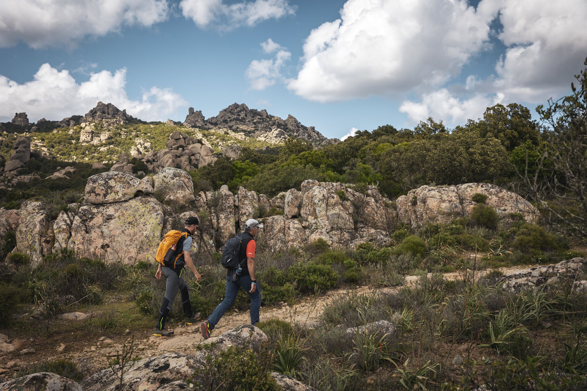
Eternal Sardinia – walks among the wonders of the hinterland
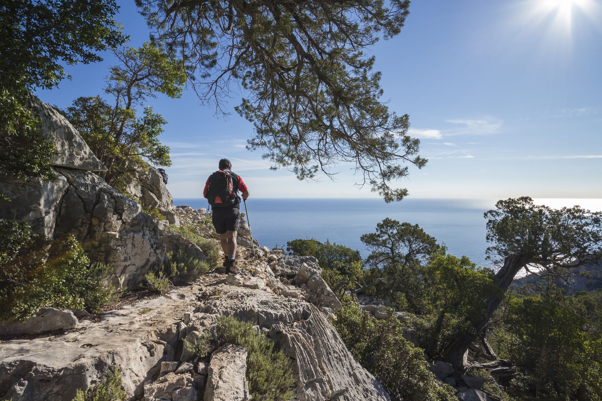
Magnificent Sardinia – day hikes overlooking the sea
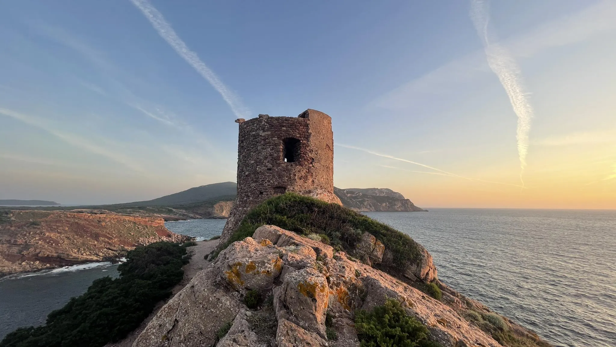
Castelsardo to Bosa Marina on the Via Catalana – Cammino 100 Torri
Other adventures in Tàtari/Sassari


Tips from the Community

Transparent water between the red rocks in the town center. Worth a stop. Close to the road
0
0
aerial view of the adjacent coast. In the center, reachable by road
0
0

Great view and easy to reach on Isola Rossa. 👍🏼 There is a small path that leads around the tower and from there you can also ride down to the small canyon, which is only about 100 m away. Also excellently suited in the pre-season for observing the sea from the red rocks 😊
2
0

A bit crowded, but beautifully situated with shady trees along the shore. Shallow entry on soft sand.
0
0
The road from the town to the beaches is not very pleasant to walk on, but the views of the island of Figarolo and the wide sea make up for it.
0
0

A beautiful dirt road with a view of Punta Semaforo. A beach with crystal-clear water near the English Cemetery.
1
0

Magnificent views, bring water and suitable footwear. Follow the blue dots on the rocks if the path seems uncertain.
0
0

Cala Dragunara is a lovely little cove. The small bar/restaurant has a friendly owner, good service, good food, quiet guests, and a picture-perfect panorama! All in all, a place to relax 😎
1
0
Frequently Asked Questions
How many family-friendly hiking trails are there in Tàtari/Sassari?
Tàtari/Sassari offers a wide variety of family-friendly hiking options. Our guide features over 700 easy routes, perfect for families looking to explore the region's diverse landscapes.
What is the best time of year for family hiking in Tàtari/Sassari?
The spring and autumn months are ideal for family hiking in Tàtari/Sassari. The weather is pleasantly mild, and the landscapes are vibrant. Summer can be quite hot, so if you hike then, we recommend choosing coastal trails or shaded forest paths, and starting early in the morning.
Are there any stroller-friendly trails in Tàtari/Sassari?
While many trails in Tàtari/Sassari feature varied terrain, some paths are suitable for strollers, particularly those in urban parks like Monserrato Park or wider, well-maintained coastal promenades. Always check the route details for surface information before heading out with a stroller.
Can we find circular family walks in Tàtari/Sassari?
Yes, there are several excellent circular routes suitable for families. For example, the Capo Figari and Punta Semaforo Loop offers stunning coastal views and is a great option for a longer family adventure. Another popular choice is the Pevero Healt Trail: panoramic loop walk, which provides beautiful vistas.
What kind of natural features can we expect to see on family hikes?
Tàtari/Sassari boasts incredibly diverse natural beauty. You can expect to see dramatic red granite coastlines, turquoise waters, lush Mediterranean scrub, and ancient forests. Highlights include the unique rock formations at Capo Testa Rock Formations and the serene Cala Grande (Valle della Luna). Many trails also offer panoramic viewpoints over the sea or mountains.
Are there any family-friendly trails with historical landmarks?
Absolutely! The region is rich in history. Many coastal trails pass by ancient watchtowers, such as those near the Torre del Bollo Trail. You can also find trails that lead to or near Nuragic remains and other archaeological sites, offering an educational element to your family hike.
Are dogs allowed on family hiking trails in Tàtari/Sassari?
Many trails in Tàtari/Sassari are dog-friendly, especially those in natural parks and along the coast. However, it's always best to keep your dog on a leash, especially in protected areas or near wildlife. Check local signage for specific regulations, particularly around beaches or nature reserves.
What do other hikers enjoy most about family hiking in Tàtari/Sassari?
The komoot community highly rates hiking in Tàtari/Sassari, with an average score of 4.3 stars. Reviewers often praise the stunning coastal views, the tranquility of the forest paths, and the opportunity to combine hiking with visits to beautiful beaches and historical sites. The variety of easy-to-moderate trails makes it a favorite for families.
Are there any trails that lead to swimming spots or beaches?
Yes, many coastal trails in Tàtari/Sassari offer direct access to beautiful beaches and coves, perfect for a refreshing dip after a walk. For instance, the Isola Rossa and Cala Canneddi Coastal Trail leads to picturesque spots. Always be mindful of local regulations regarding swimming and beach access.
Where can we find parking near family-friendly trails?
Parking availability varies by trail. For popular coastal routes and nature parks, designated parking areas are often available at trailheads. For more remote trails, you might find roadside parking. We recommend checking the specific route details on komoot, as users often share information about parking in their tour descriptions and comments.
Are there any easy family hikes with good viewpoints?
Absolutely! The Punta Giglio Loop Trail offers spectacular panoramic views of the coastline and the sea, making it a rewarding option for families. Many trails along the Riviera del Corallo also provide stunning vistas without being overly challenging.
Most popular routes in Tàtari/Sassari
Most popular attractions in Tàtari/Sassari

Get inspired with the komoot mobile app


Didn’t find what you were looking for?
Check out more Hikes throughout Tàtari/Sassari below and find the perfect route in your destination.
Explore more
Browse the best Hikes in other regions.
