The best hikes from bus stations in Nuoro
4.4
(14953)
70,281
hikers
93
hikes
Bus station hiking trails in Nuoro, located in the heart of Sardinia, offer access to a diverse and rugged landscape. The region is characterized by its dramatic limestone massifs, such as the Supramonte, and prominent mountains like Monte Ortobene. Hikers can explore deep gorges, ancient forests, and coastal paths along the Gulf of Orosei, providing a variety of terrains from high-altitude plateaus to pristine beaches.
Best bus station hiking trails in Nuoro
- The most popular bus station hiking route is…
Last updated: June 28, 2026
4.8
(305)
1,207
hikers
Moderate hike. Good fitness required. Mostly accessible paths. Sure-footedness required.
4.8
(110)
453
hikers
Hard hike. Very good fitness required. Sure-footedness, sturdy shoes and alpine experience required.

Sign up for free
4.4
(66)
244
hikers
11.8km
03:27
320m
320m
Moderate hike. Good fitness required. Easily-accessible paths. Suitable for all skill levels.
4.6
(55)
179
hikers
23.7km
07:29
710m
710m
Hard hike. Very good fitness required. Mostly accessible paths. Sure-footedness required.
4.7
(38)
209
hikers
4.20km
01:09
60m
70m
Easy hike. Great for any fitness level. Easily-accessible paths. Suitable for all skill levels.
Get access to more routes and recommendations from other explorers.
Sign up for free
Already have an account?
Our route recommendations are based on thousands of hikes, rides, and runs completed by other people on komoot.
Start today with a free account
Your next adventure awaits.
Login or Signup
Popular around Nuoro
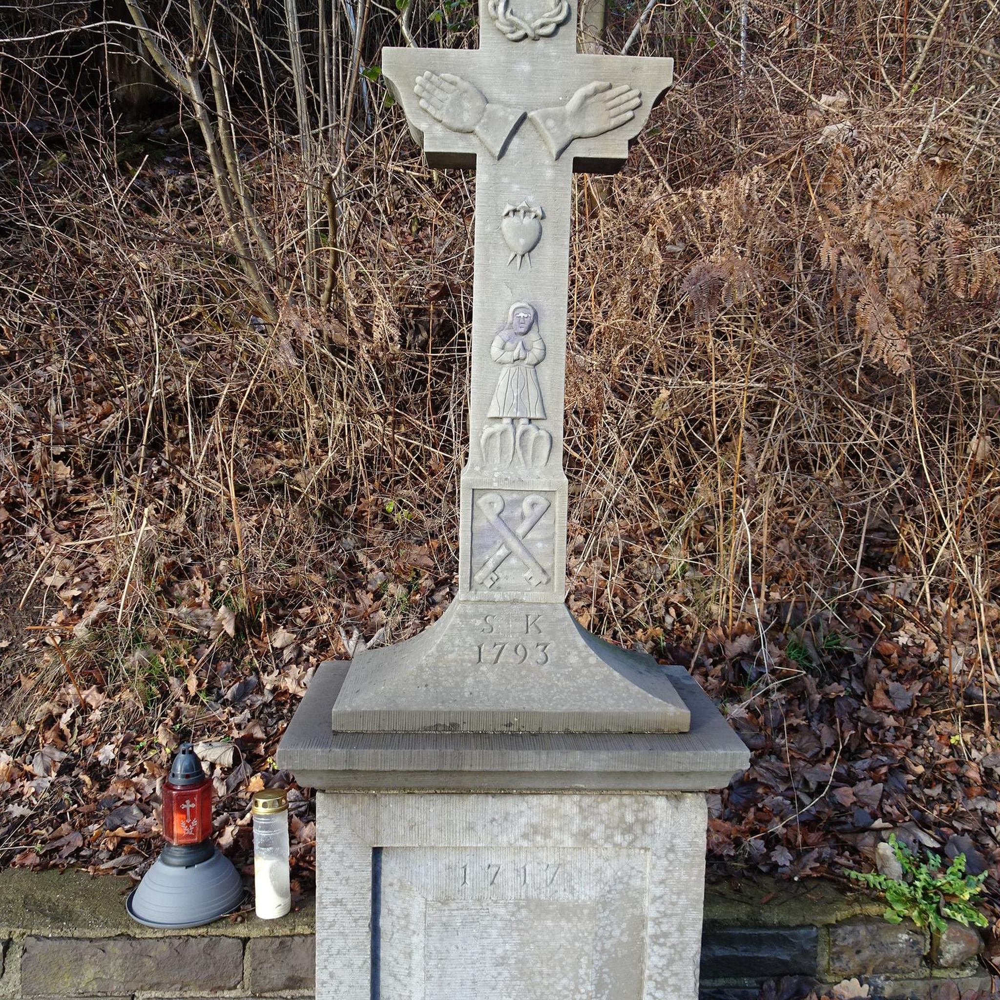
Hikes from bus stations around Gennargentu National Park
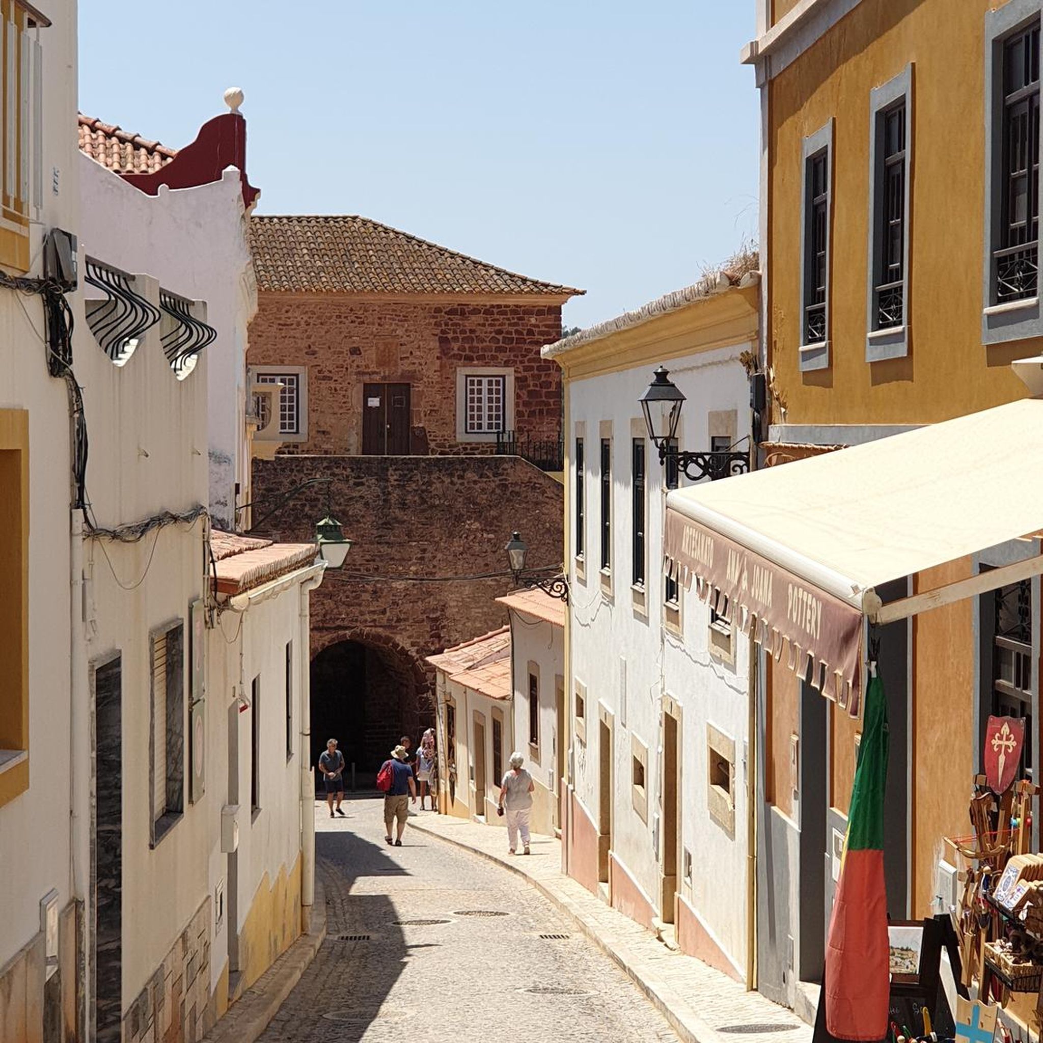
Hikes from bus stations in Supramonte Di Oliena, Orgosolo E Urzulei - Su Sercone
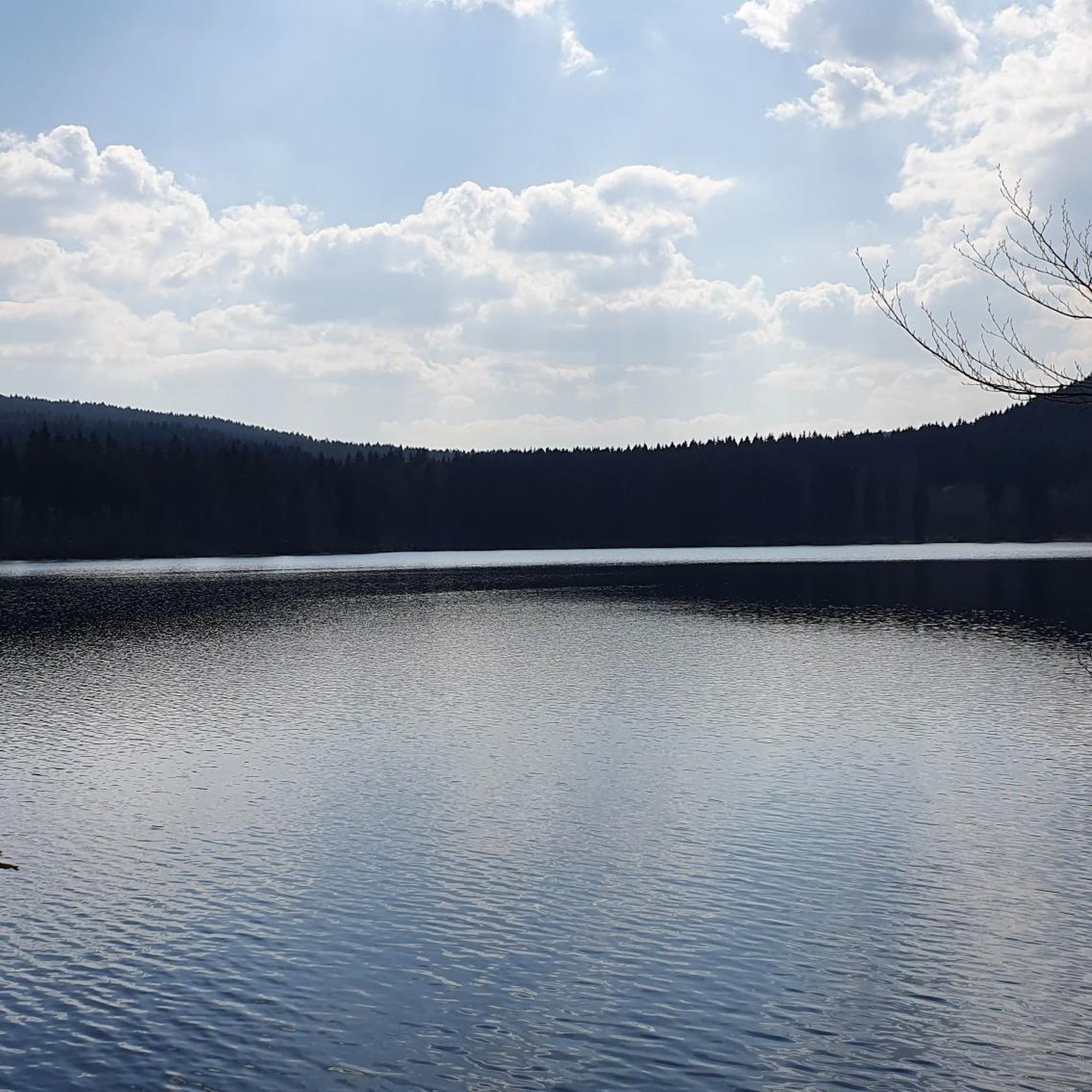
Hikes from bus stations around Stagno di Tortoli
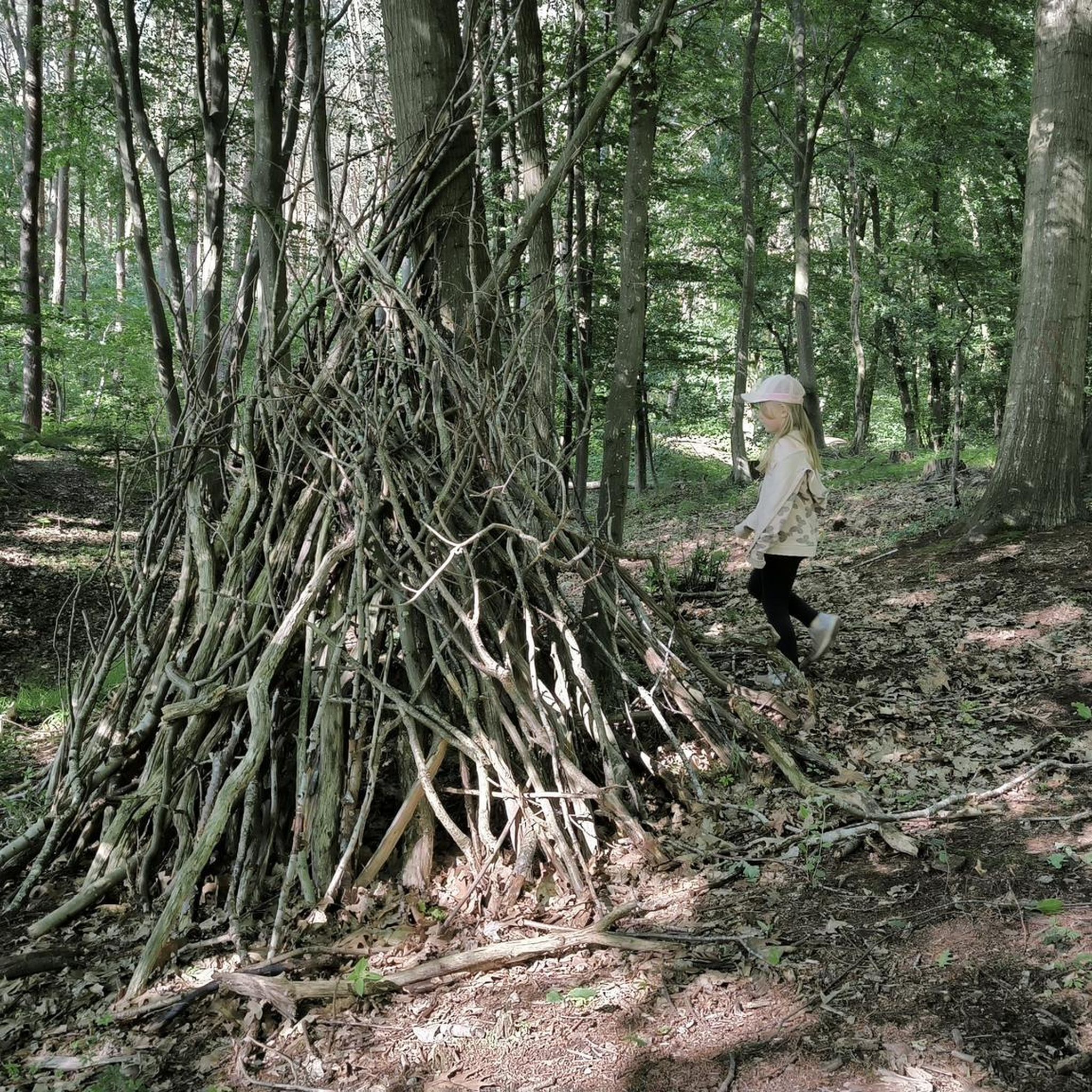
Hikes from bus stations around Stagno Longu di Posada
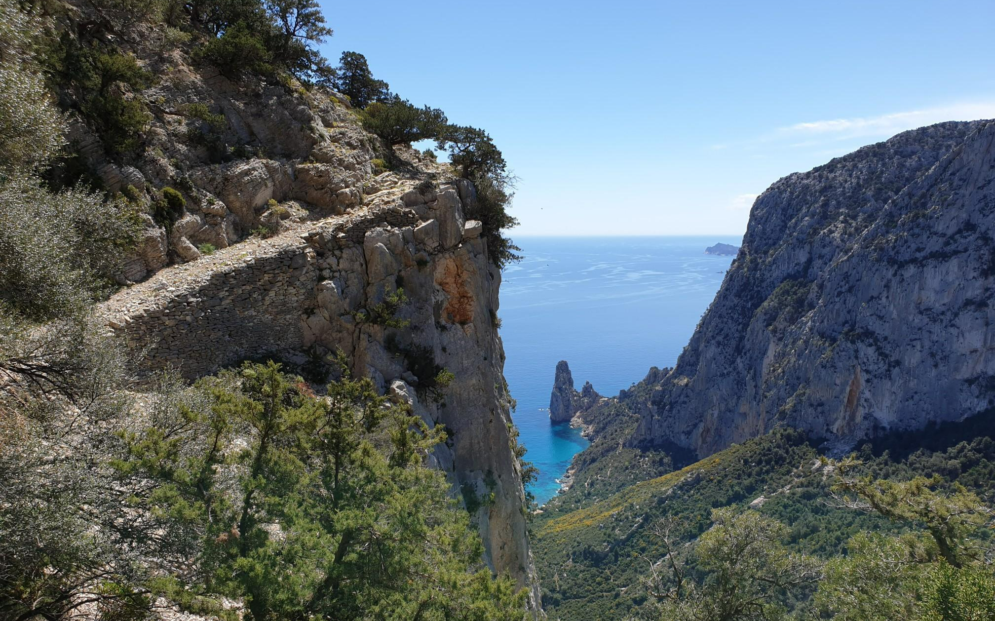
Wild Blue - an adventure overlooking the sea
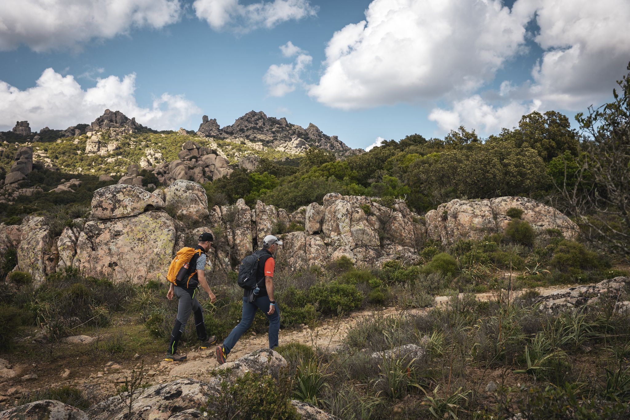
Eternal Sardinia – walks among the wonders of the hinterland
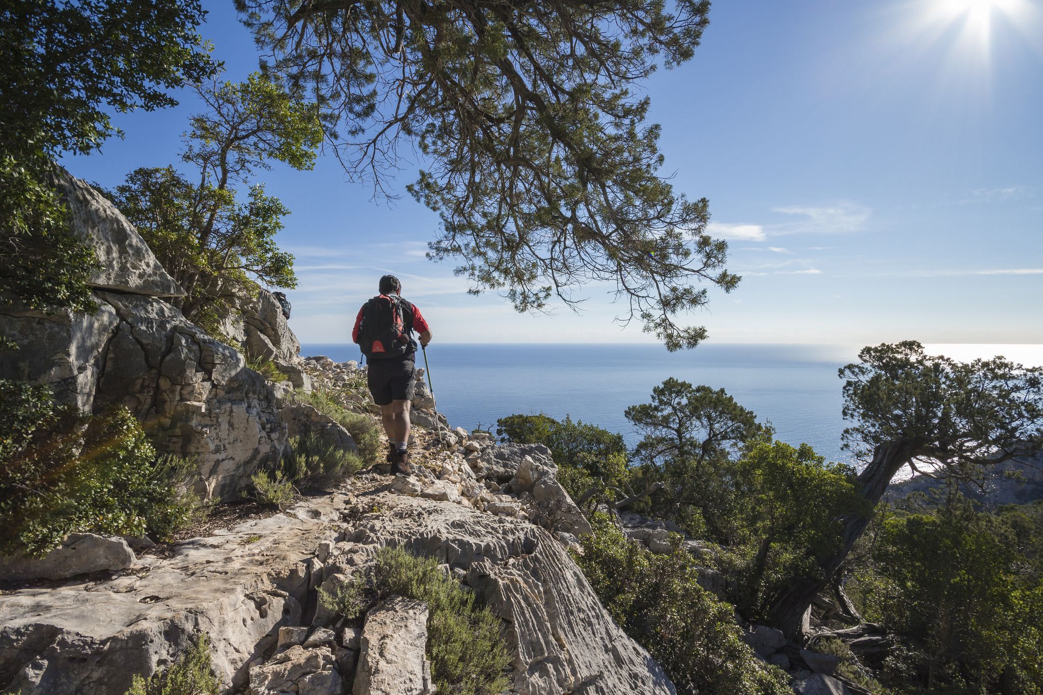
Magnificent Sardinia – day hikes overlooking the sea
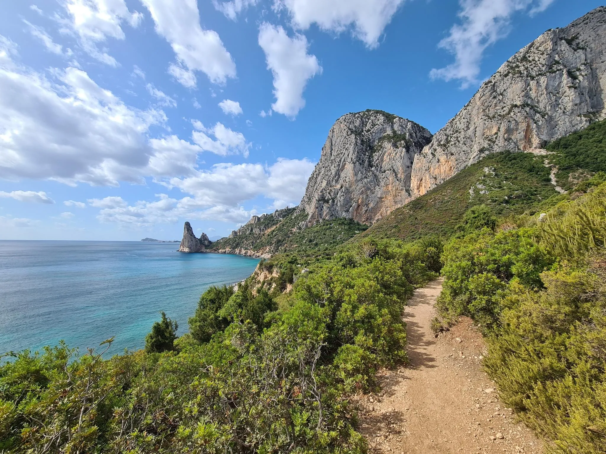
Discover Sardinia on the Via Ogliastra – Cammino 100 Torri
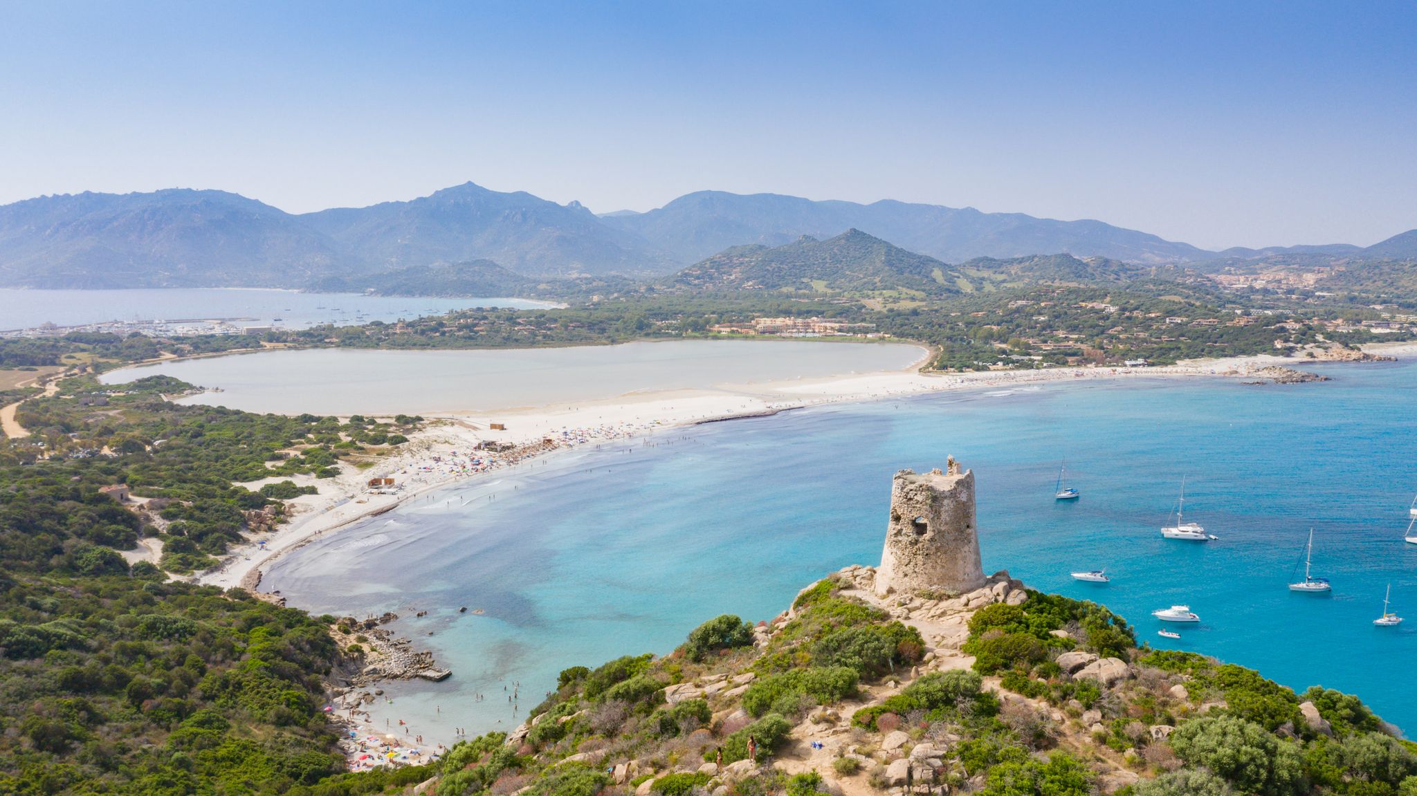
Villasimius to Arbatax along the Via Sarcapos - Cammino 100 Torri
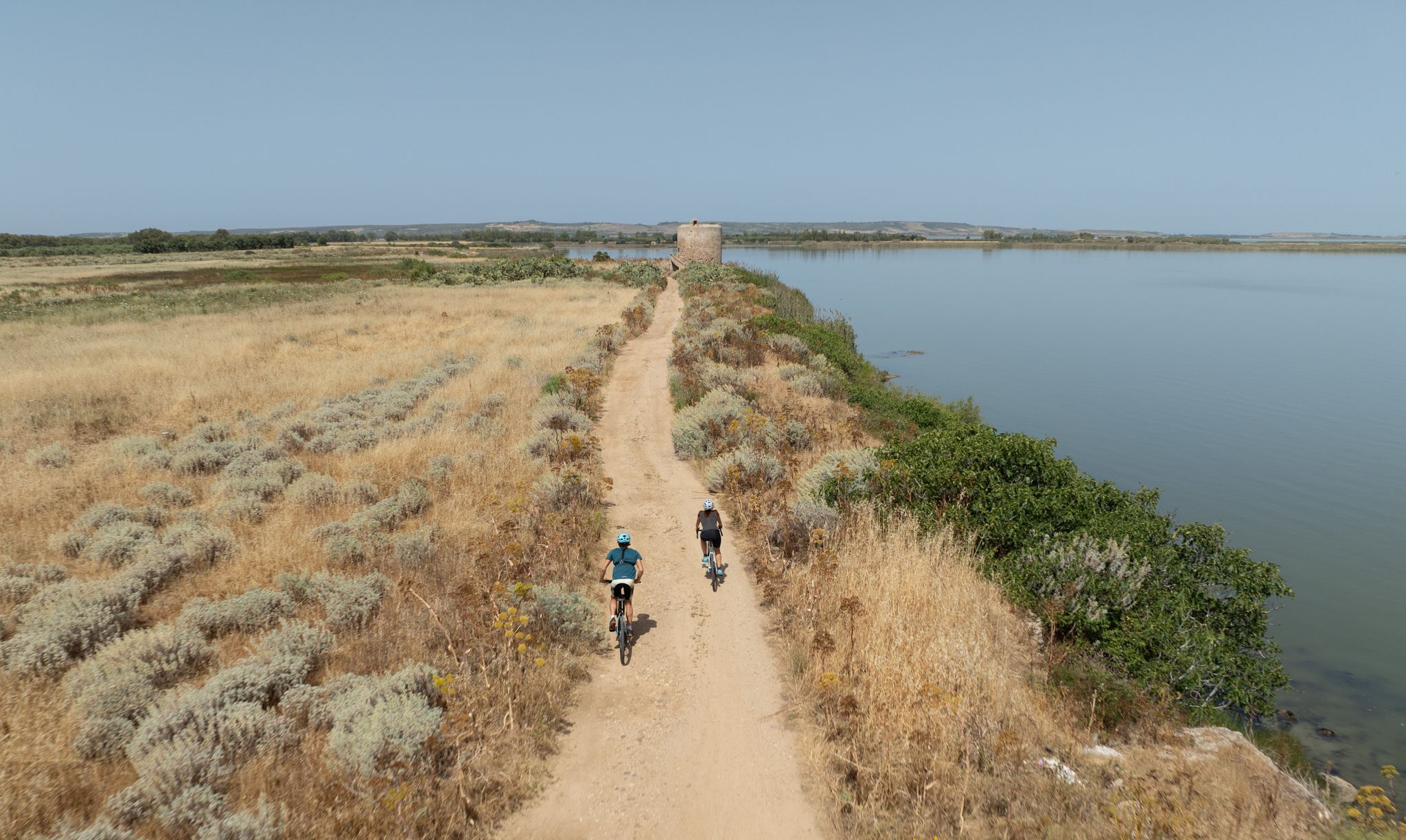
Discover wild Sardinia – 10 superb MTB Tours
Other adventures in Nuoro


Tips from the Community

The village of Cala Gonone is located in the middle of the east coast of Sardinia on the Golfo di Orosei. The district belongs to the municipality of Dorgali. The former fishing village has since become a pure holiday resort, a bathing resort with a beach and caves. However, as is the case almost everywhere in Sardinia, there are only a few tall houses.
1
0
Cala Fuili is a stunning, untouched pebble and sand cove on the east coast of Sardinia, just 3 km south of Cala Gonone (Dorgali). It is the last stretch of beach comfortably accessible by car and serves as a picturesque starting point for the famous coastal hike to Cala Luna.
0
0

It is truly impressive to hike through this riverbed.
0
0

And also connection with the wild blue path
0
0

Definitely use the Via Pedra Longa to get to this waypoint and not the path running parallel above it according to Komoot, as it no longer seems to exist.
1
0

The stairs are a bit old. Let's hope they hold up. You can watch various climbers here.
1
0

A beautiful alpine trail, but please wear hiking boots. Some very rocky sections. Don't forget water; the restaurant at Pedra Longa was always closed when we were there.
1
0

Frequently Asked Questions
How many hiking trails are accessible from bus stations in Nuoro?
There are nearly 70 hiking trails in Nuoro that are easily accessible from bus stations. These routes offer a wide range of experiences, from gentle strolls to challenging mountain ascents, allowing you to explore the region's diverse landscapes without needing a car.
Are there hiking trails for all skill levels starting from Nuoro's bus stations?
Yes, Nuoro offers a variety of trails suitable for all skill levels. You'll find 27 easy routes perfect for a relaxed walk, 26 moderate trails for those seeking a bit more challenge, and 15 difficult routes for experienced hikers looking for rugged terrain and significant elevation changes. The region's diverse landscapes, from coastal paths to mountain trails, cater to every preference.
What kind of natural landmarks can I see along bus-accessible hiking trails in Nuoro?
Nuoro's bus-accessible trails lead to stunning natural landmarks. You can discover beautiful coastal features like Cala Luna and Osalla Beach, or tranquil inland waters such as Stagno Sa Curcurica and Lake Maccheronis. Some routes also feature impressive waterfalls like Is Piscinas Pools and Waterfalls, showcasing the region's rich natural beauty.
Are there any circular hiking routes starting from bus stations in Nuoro?
Yes, many of the trails accessible by bus in Nuoro are circular, allowing you to start and end your hike at the same point. For example, the moderate Cala Gonone – View of Cala Fuili loop from Cala Gonone offers stunning coastal views, while the easy Cala Gonone – Biddiriscottai Cave loop from Cala Gonone provides a shorter, scenic option.
What do other hikers enjoy most about hiking in Nuoro?
The area is highly rated by the komoot community, with an average score of 4.4 stars from over 12,900 ratings. Reviewers often praise the diverse and rugged landscapes, the breathtaking panoramic views from mountains like Monte Ortobene, and the unique natural wonders such as the Supramonte area and its dramatic gorges.
Can I find trails with scenic viewpoints accessible by bus in Nuoro?
Absolutely. Nuoro is renowned for its spectacular viewpoints. Monte Ortobene, immediately flanking the city, offers breathtaking panoramic views that can extend to the sea. You can experience this on routes like the difficult View from Monte Ortobene – Tuttavista Summit loop from Orosei. The Gulf of Orosei also provides stunning coastal vistas, as seen on the moderate View of Cala Gonone – View of the Gulf of Orosei loop from Cala Gonone.
Are there any historical or cultural points of interest along the bus-accessible hiking trails?
Yes, Nuoro, often called 'Sardinian Athens,' is rich in cultural heritage. While hiking, you might encounter ancient ruins on Monte Ortobene or traditional shepherd's huts, known as 'cuiles,' such as Cuiles (Traditional Shepherd's Hut) or Cuile Ziu Tattanu. The Supramonte area also hosts the well-preserved Tiscali Nuragic Village, offering a journey back in time.
Are there any challenging hikes accessible from bus stations in Nuoro?
For experienced hikers, Nuoro offers several challenging routes. The Gennargentu Mountains provide rugged terrain and high-altitude plateaus. A notable difficult route is the View of Pedra Longa – Pedra Longa Rock Formation loop from Santa Maria Navarrese, which features significant elevation gain and stunning views.
What is the best time of year to go hiking in Nuoro?
The best time to hike in Nuoro is generally during spring (April-May) and autumn (September-October). During these seasons, the weather is mild and pleasant, making it ideal for exploring the trails. Summers can be very hot, especially in July and August, while winters can bring cooler temperatures and occasional rain, particularly in the higher mountain ranges.
Are there places to eat or stay near the bus-accessible trailheads in Nuoro?
Yes, you can find options for refreshments and accommodation near many trailheads. For example, in the Monte Ortobene area, you might find places like Coop Enis Monte Maccione Restaurant & Hotel. Traditional shepherd's huts, some converted into refuges like Su Nuraxi Refuge Restaurant, also offer unique experiences and local cuisine.
Most popular routes in Nuoro
Most popular attractions in Nuoro

Get inspired with the komoot mobile app


Didn’t find what you were looking for?
Check out more Hikes throughout Nuoro below and find the perfect route in your destination.
Explore more
Browse the best Hikes in other regions.
