The best mountain hikes in Nuoro
4.1
(29)
215
hikers
18
hikes
Mountaineering in Nuoro, located in the heart of Sardinia, offers diverse and rugged natural landscapes. The region is characterized by impressive mountains, deep gorges, and extensive forested areas, providing abundant opportunities for challenging ascents. Notable features include the wild limestone massif of the Supramonte and the granite formations of Monte Ortobene. This varied terrain makes Nuoro a premier destination for outdoor activities.
Best mountaineering routes in Nuoro
- The most popular mountaineering route is Mountaineering loop from Cala Goloritzè, a…
Last updated: August 18, 2026
4.8
(5)
42
hikers
15.0km
04:55
550m
550m
Moderate mountaineering route. Good fitness required. Mostly accessible paths. Sure-footedness required.
4.9
(7)
48
hikers
12.6km
05:08
580m
580m
Hard mountaineering route. Very good fitness required. Sure-footedness, sturdy shoes and alpine experience required.

Sign up for free
15
hikers
10.5km
04:16
700m
710m
Moderate mountaineering route. Good fitness required. Mostly accessible paths. Sure-footedness required.
4.0
(1)
12
hikers
9.36km
03:41
550m
550m
Moderate mountaineering route. Good fitness required. Mostly accessible paths. Sure-footedness required.
4.0
(1)
12
hikers
13.1km
05:29
860m
850m
Hard mountaineering route. Very good fitness required. Mostly accessible paths. Sure-footedness required.
5.0
(3)
11
hikers
6.70km
02:27
310m
310m
Hard mountaineering route. Good fitness required. Sure-footedness, sturdy shoes and alpine experience required.
12
hikers
Hard mountaineering route. Very good fitness required. Mostly accessible paths. Sure-footedness required.
11
hikers
Moderate mountaineering route. Good fitness required. Mostly accessible paths. Sure-footedness required.
11
hikers
Hard mountaineering route. Good fitness required. Sure-footedness, sturdy shoes and alpine experience required.
5.0
(2)
10
hikers
Moderate mountaineering route. Good fitness required. Mostly accessible paths. Sure-footedness required.
Get access to more routes and recommendations from other explorers.
Sign up for free
Already have an account?
Our route recommendations are based on thousands of hikes, rides, and runs completed by other people on komoot.
Start today with a free account
Your next adventure awaits.
Login or Signup
Popular around Nuoro
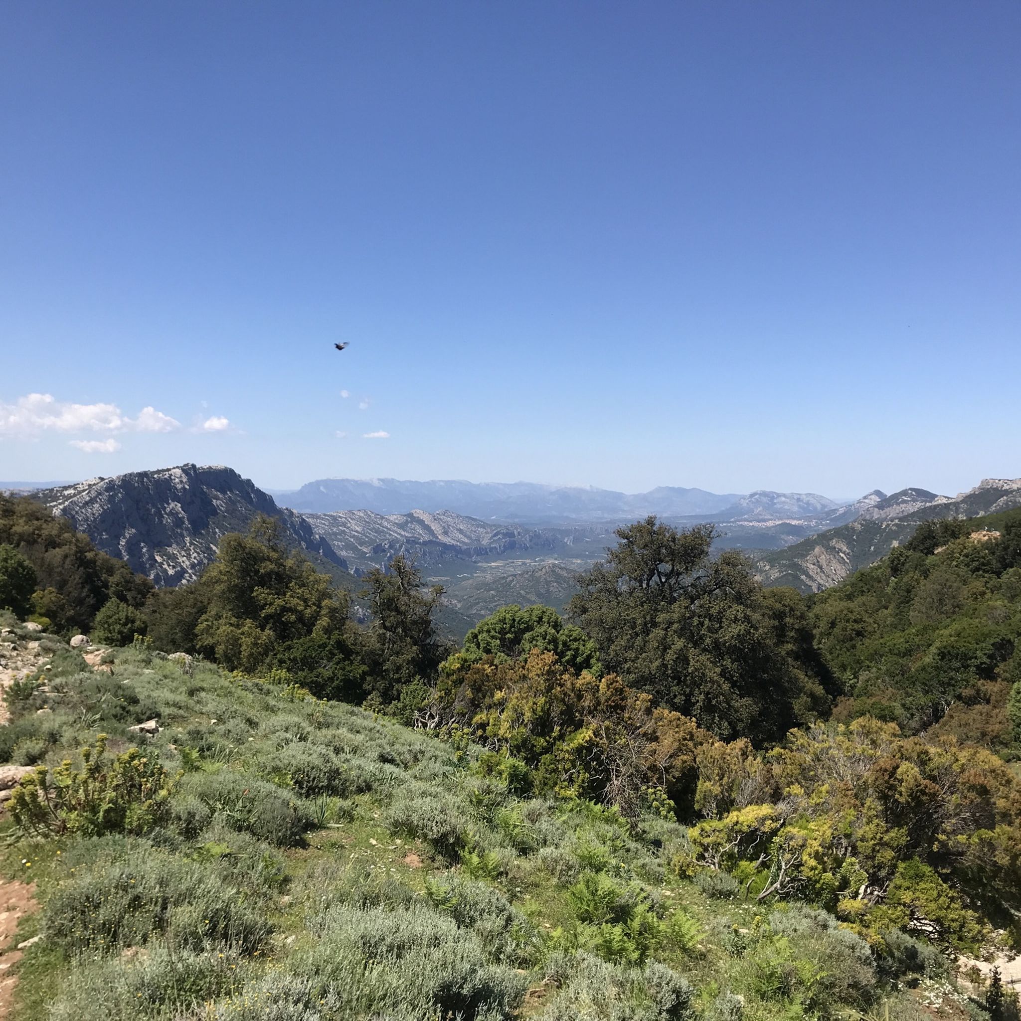
Mountain Hikes around Gennargentu National Park

Mountain Hikes around Baunei

Mountain Hikes around Biddamanna Istrisàili/Villagrande Strisaili

Mountain Hikes around Triei
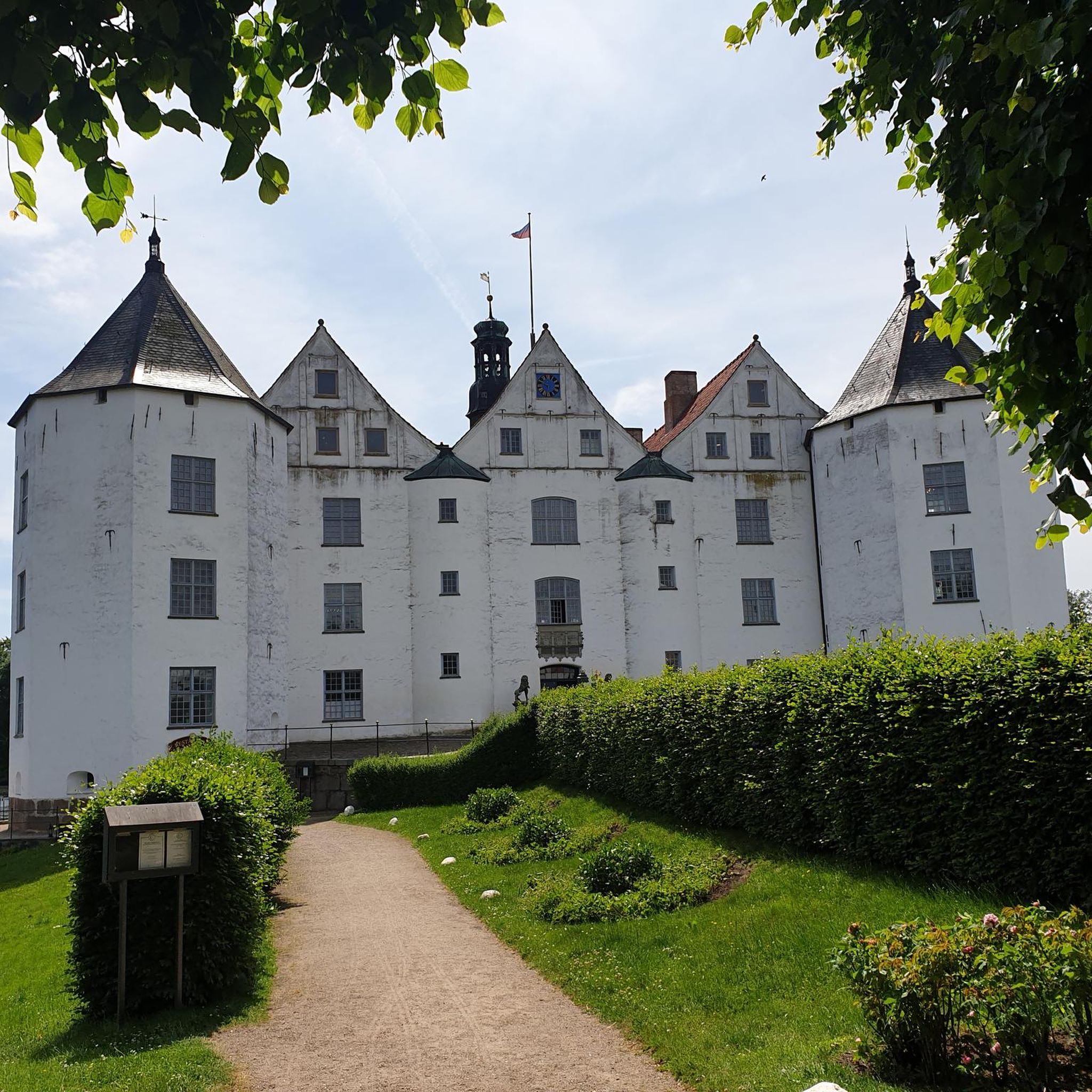
Mountain Hikes around Ulìana/Oliena

Mountain Hikes around Talana
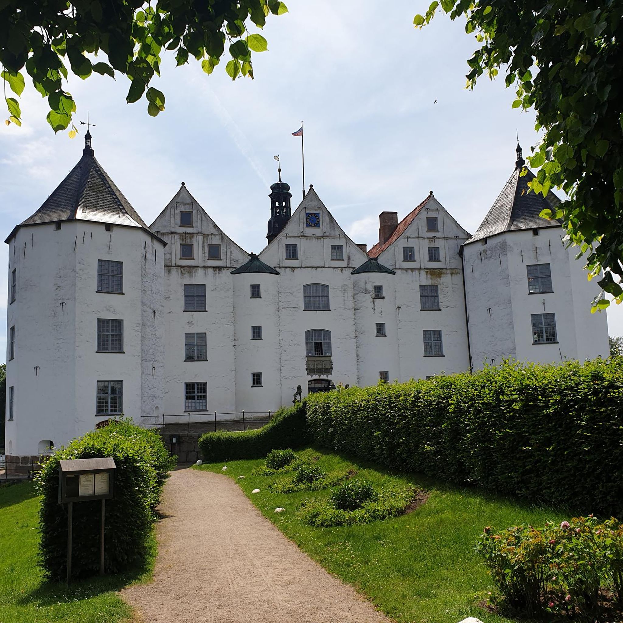
Mountain Hikes around Orgòsolo/Orgosolo
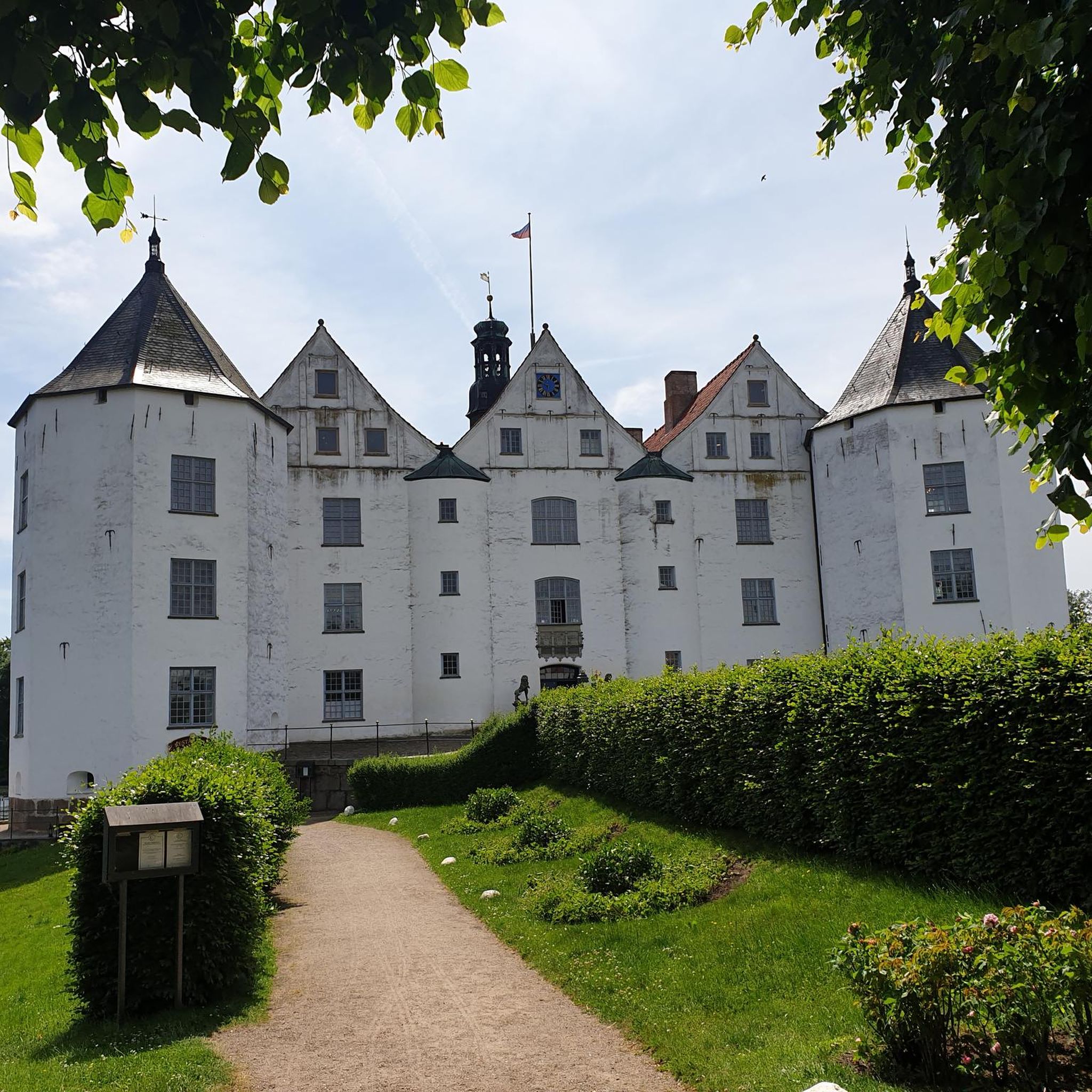
Mountain Hikes in Supramonte Di Oliena, Orgosolo E Urzulei - Su Sercone
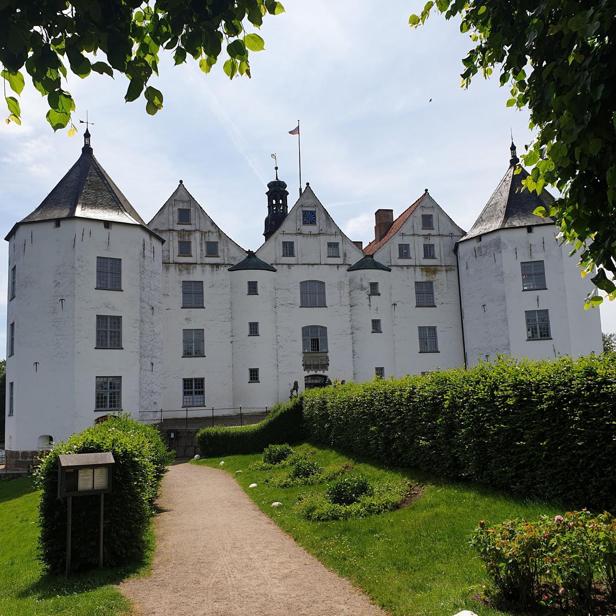
Mountain Hikes around Durgali/Dorgali
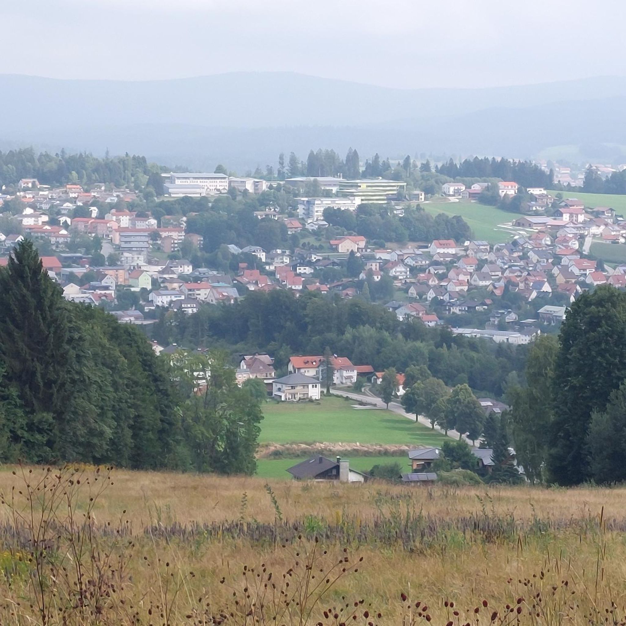
Mountain Hikes around Garteddi/Galtellì
Other adventures in Nuoro


Tips from the Community

The Monti del Gennargentu form the highest mountain range in Sardinia and the "roof of the island". It is located in the heart of Barbagia. The rugged, rocky mountain world is home to Punta La Marmora (1,834 m), the highest peak in Sardinia, as well as historical Nuragic villages, and offers fantastic hiking opportunities.
1
0
The Monti del Gennargentu form Sardinia's highest mountain range and the "Roof of the Island". It is located in the heart of Barbagia. The rugged, rocky mountain world is home to Punta La Marmora (1,834 m), Sardinia's highest peak, as well as historical Nuragic villages, and offers fantastic hiking opportunities.
1
0
The Bruncu Spina belongs to the Massiccio del Gennargentu, the silver-grey roof of Sardinia, part of the National Park „Parco Nazionale del Golfo di Orosei e del Gennargentu“. Probably the reason why the landscape is still so untouched and authentic, even almost barren, despite ski operations. The slopes are simple and only roughly marked, everything seems very free and has almost a bit of a freestyle atmosphere.
1
0

Definitely use the Via Pedra Longa to get to this waypoint and not the path running parallel above it according to Komoot, as it no longer seems to exist.
1
0

One of the most rewarding and least-crowded summits in the entire Supramonte massif, Punta Sos Nidos rises above the Oliena plateau in a landscape of bare karst limestone, ancient junipers, and silence. The approach is unmarked for long stretches — this is genuine off-trail terrain that rewards experience, good navigation skills, and a solid sense of adventure. The summit plateau opens onto a 360° panorama that ranks among the finest in Sardinia: to the east, the Golfo di Orosei and the Tyrrhenian Sea; to the west, the silhouette of Monte Corrasi and the Gennargentu range; below, the deep green canopy of the Valle di Lanaitto and the canyon of Gorropu. On clear days, the view stretches from Tavolara to the Sinis Peninsula. The terrain is rocky, rugged, and requires careful route-finding. There is no marked path to the summit — GPS tracking is strongly recommended. The area falls within the Parco Nazionale del Golfo di Orosei e del Gennargentu: check current access regulations before heading out.
0
0

A quiet plateau with huge boulders/climbing areas. Little to no shade. Therefore, bring plenty of water!
0
0
The atmosphere is constantly changing. It's always worth taking a look behind you. There are always climbing opportunities for children.
0
0
After the moderately challenging climb, the landscape opens up to the plateau. Simply beautiful. We had a picnic here and watched the sheep grazing, their bells ringing.
0
0
Frequently Asked Questions
What kind of mountaineering routes can I expect in Nuoro, and are there options for different skill levels?
Nuoro offers a diverse range of mountaineering routes, from moderate ascents to challenging multi-pitch climbs. You'll find over 20 routes in the region, with 9 classified as moderate and 14 as difficult, ensuring options for various skill levels. The terrain varies from the wild limestone massifs of the Supramonte to the granite formations of Monte Ortobene.
Are there any circular mountaineering routes in Nuoro?
Yes, Nuoro features several excellent circular mountaineering routes. For example, you can explore the dramatic coastal cliffs on the Mountaineering loop from Cala Goloritzè, or venture into one of Europe's deepest canyons with the Genna Silana Pass – Gorropu Gorge loop from Passo di Genna Silana. Another popular option is the High Trail to Bruncu Spina – Punta La Marmora Summit Cross loop from S'Arena, which takes you to Sardinia's highest peak.
What are some notable natural features or landmarks I might encounter on mountaineering routes in Nuoro?
Mountaineering in Nuoro offers encounters with spectacular natural features. You can explore the immense rocky walls of Gorropu Gorge, often called one of Europe's deepest canyons, or reach the Summit of Punta La Marmora, Sardinia's highest peak, for breathtaking panoramic views. Other highlights include the dramatic coastal scenery near Cala Fuili and the distinctive Pedra Longa Rock Formation.
What is the best time of year for mountaineering in Nuoro?
The mild climate in Nuoro generally allows for mountaineering throughout the year. However, for optimal conditions, spring and autumn are often preferred, offering pleasant temperatures and vibrant landscapes. Summer can be hot, especially at lower altitudes, while winter might bring snow to the higher peaks of the Gennargentu range.
Are there any family-friendly mountaineering options in Nuoro?
While many routes in Nuoro are challenging, there are some moderate options that families with older children and some hiking experience might enjoy. For instance, the Gorropu Gorge – Sa Barva Parking Area loop from Parcheggio per Tiscali is a moderate route that allows you to experience the impressive gorge. Always check the specific route details and difficulty before heading out with family.
What do other mountaineers enjoy most about the routes in Nuoro?
The mountaineering routes in Nuoro are highly rated by the komoot community, with an average score of 4.4 stars from over 50 reviews. Reviewers often praise the region's diverse and rugged natural landscapes, the challenging ascents, and the spectacular views from peaks like Punta La Marmora and Monte Corrasi. The unique geological formations, such as Gorropu Gorge, are also frequently highlighted.
Are there any routes that offer views of Monte Corrasi?
Yes, several routes provide stunning views of Monte Corrasi, the highest peak of the Supramonte, known for its sheer limestone walls and vast plateaus. Consider the Point Sos Nidos – Monte Corrasi loop from Ulìana/Oliena or the Monte Corrasi loop from Ulìana/Oliena for an immersive experience of this iconic mountain.
Can I find routes that include archaeological sites?
Yes, some mountaineering routes in Nuoro offer the chance to discover cultural attractions. The Tiscali Cave – Trail to Tiscali loop from Corbeddu, for example, leads you towards the ancient Nuragic village of Tiscali, nestled within the Supramonte mountains, offering a blend of natural beauty and historical exploration.
Are there any specific permits required for mountaineering or climbing in Nuoro?
While general hiking on established trails typically doesn't require specific permits, certain areas, especially within protected zones like Gennargentu National Park or for specific climbing routes in the Supramonte, might have regulations or require prior authorization. It's always advisable to check with local park authorities or guide services for the most up-to-date information regarding permits for specific activities or challenging climbs.
What kind of wildlife might I encounter on the mountaineering routes?
Nuoro's diverse landscapes, particularly within the Gennargentu National Park and the Tepilora, Sant'Anna, and Rio Posada Biosphere Reserve, are home to a variety of wildlife. You might spot mouflon, wild boars, and various bird species, including eagles and vultures. Keep an eye out for unique flora as well, especially in the more remote mountainous areas.
Are there any routes that offer views of the Gulf of Orosei?
Yes, some mountaineering routes in the eastern part of the Nuoro region provide stunning vistas of the Gulf of Orosei. The View of Punta Salinas loop from Golgo is a challenging route that rewards you with panoramic views stretching towards the dramatic coastline and the sparkling waters of the Gulf.
Most popular routes in Nuoro
Most popular attractions in Nuoro

Get inspired with the komoot mobile app


Didn’t find what you were looking for?
Check out more Mountain Hikes & Routes throughout Nuoro below and find the perfect route in your destination.
Explore more
Browse the best Mountain Hikes & Routes in other regions.
