The best hikes from bus stations in Occitania
4.5
(41478)
283,654
hikers
7,554
hikes
Bus station hiking trails in Occitania traverse a region of diverse landscapes, from the high peaks of the Pyrenees to the Mediterranean coastline. The terrain includes dramatic mountains, deep river valleys, limestone plateaus, and coastal paths. This varied geography offers a wide range of hiking experiences, from challenging mountain ascents to gentle lakeside and coastal walks.
Best bus station hiking trails in Occitania
- The most popular bus station hiking route is Étang de Gruissan, a 3.8 miles (6.1 km)…
Last updated: October 13, 2026
4.6
(96)
729
hikers
6.09km
01:32
10m
10m
Easy hike. Great for any fitness level. Easily-accessible paths. Suitable for all skill levels.
4.5
(65)
439
hikers
7.20km
01:55
70m
70m
Easy hike. Great for any fitness level. Easily-accessible paths. Suitable for all skill levels.

4.4
(51)
210
hikers
10.4km
02:41
60m
60m
Moderate hike. Good fitness required. Easily-accessible paths. Suitable for all skill levels.
4.7
(33)
212
hikers
11.3km
02:51
10m
10m
Moderate hike. Good fitness required. Easily-accessible paths. Suitable for all skill levels.
4.7
(128)
2,174
hikers
6.43km
02:04
270m
270m
Moderate hike. Good fitness required. Easily-accessible paths. Suitable for all skill levels.
Get access to more routes and recommendations from other explorers.
Already have an account?
Our route recommendations are based on thousands of hikes, rides, and runs completed by other people on komoot.
Start today with a free account
Your next adventure awaits.
Popular around Occitania
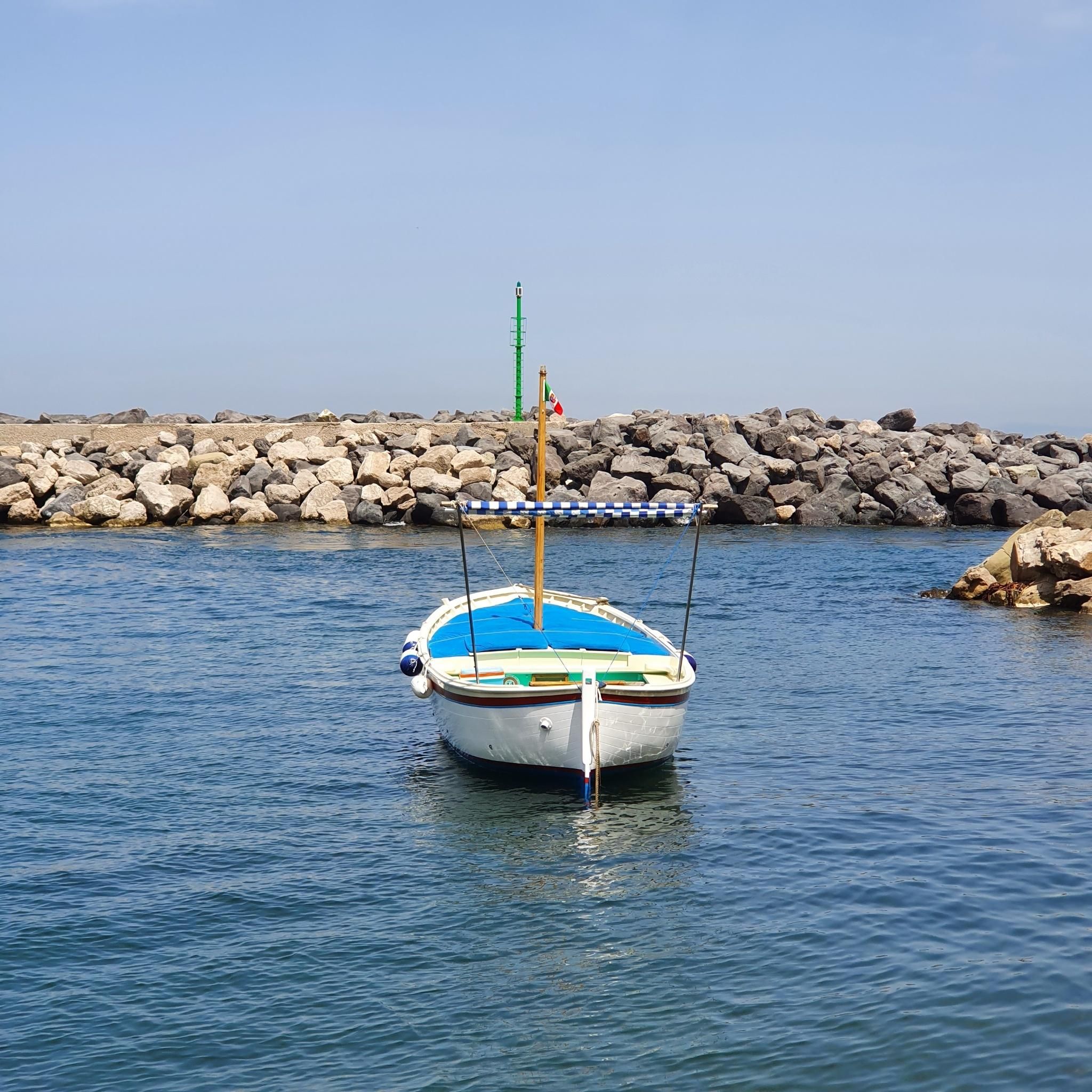
Hikes from bus stations in Hautes-Pyrénées
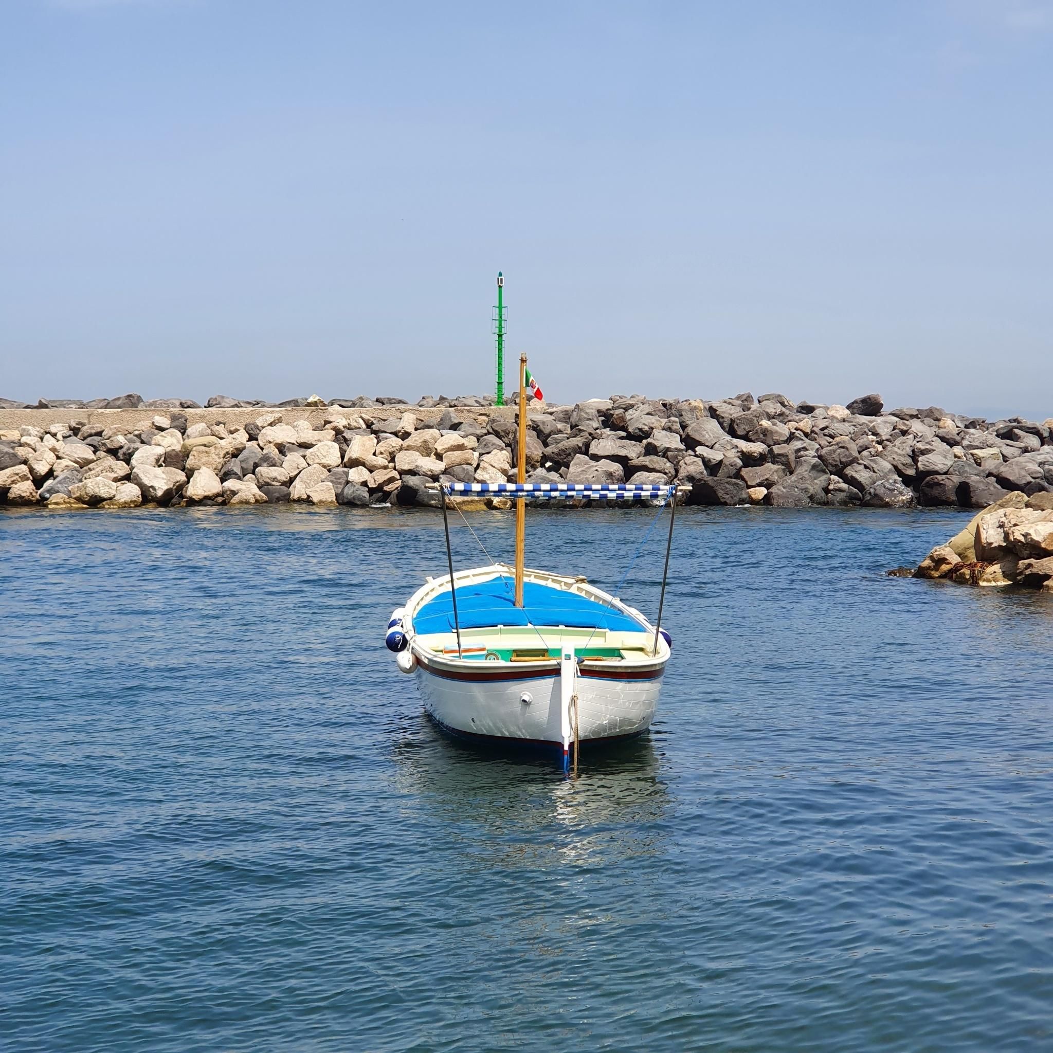
Hikes from bus stations around Argelès-Gazost

Hikes from bus stations in Pyrénées-Orientales
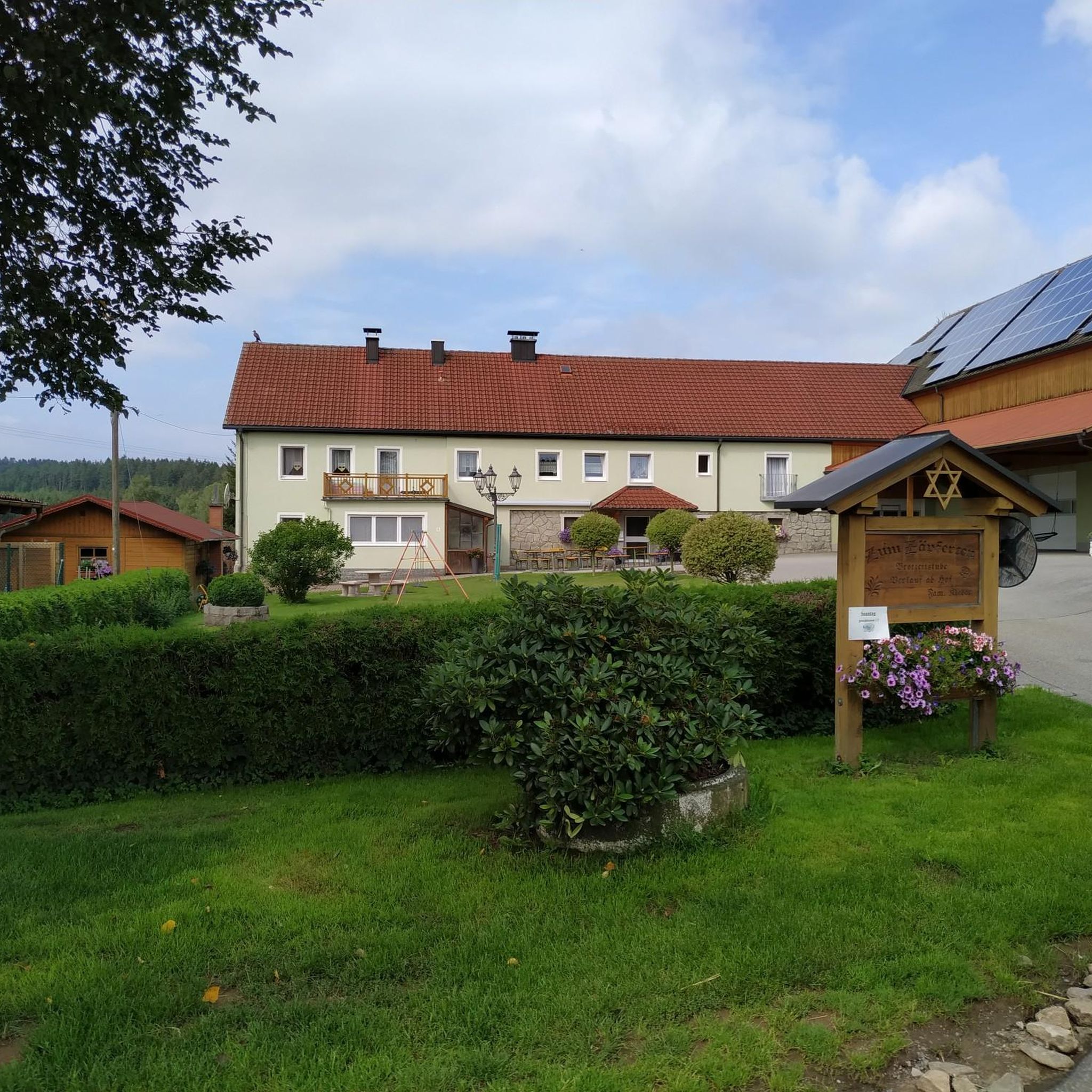
Hikes from bus stations around Prades

Hikes from bus stations in Hérault

Hikes from bus stations in Aude

Hikes from bus stations in Gard

Hikes from bus stations around Céret

Hikes from bus stations around Béziers

Hikes from bus stations around Nimes
Other adventures in Occitania


Tips from the Community

The Grande Maïre educational trail allows you to enjoy this vast wetland. You will see flamingos and other wading birds, which come to take advantage of the richness of the soil to feed.
0
0
La Rivierette is a small lagoon connected to Grande Maïre by a network of canals. This wetland is home to a rich fauna of numerous birds and aquatic species.
0
0

The name “Estagnol” evokes a small pond (a name that echoes the many wetlands that characterize this part of the Hérault coast). Unfortunately, the pond is not visible from the greenway and remains hidden by vegetation. Passing here by bike, you cycle alongside one of the most famous hydraulic structures in France: the Canal du Midi, designed by Pierre-Paul Riquet in the 17th century to connect the Atlantic to the Mediterranean. In Portiragnes, the canal reaches a very low coastal plain, close to ancient ponds and wetlands. A little anecdote about the area: this geography posed a real challenge for the canal builders. In this low-lying plain, during heavy rains or floods, water could quickly accumulate. It was therefore necessary to allow excess water to cross or bypass the canal without damaging it. The engineers thus developed various hydraulic structures, notably weirs, which allow excess water to be discharged into the neighboring natural areas.
2
0

🌿 L’Estagnol near Portiragnes A small, somewhat hidden wetland and pond area near Portiragnes, which could easily be overlooked on a tour through the area. 🌿🚲 The name „Estagnol“ comes from Occitan and denotes a small pond or body of water – and that is exactly what you find here: densely overgrown banks, reeds, and a calm water surface in the middle of the Mediterranean landscape. Especially by bike, L’Estagnol is a nice little detour when you are traveling between Portiragnes, the vineyards, and the Canal du Midi. Not a spectacular destination, but rather one of those quiet places that make up the charm of the area. 😊👌🏼 Greetings Marcus ✌🏼
2
0
With an average depth of only 55 cm, the Étang de Gruissan is more of a lagoon than a true "lake". Its brackish waters depend on exchanges between the sea, canals, and watershed, while winds can significantly alter its functioning. It is part of the six lagoons of the Narbonne complex, protected notably for the richness of their wetlands and their importance for birds. A few kilometers away, the remains of Île Saint-Martin recall another era: between the 2nd century BC and Roman antiquity, these lagoons were part of Narbonne's vast port system.
3
0
From this narrow strip of land, the Gruissan lagoon landscape reads almost like a succession of parallel bands: the wetlands and secondary ponds to the south, the path on which we are, the Sainte-Marie canal, then the Gruissan pond to the north. The Sainte-Marie canal bears witness to the old hydraulic development of this coastal plain. Integrated into a network of canals intended to manage its waters, it notably contributed to the draining of the old salt pond. Today, it contributes to the freshwater supply of the Gruissan pond and thus participates in the salinity variations of the lagoon.
3
0
This viewpoint offers an unobstructed view of the Barberousse Tower, perched on its limestone promontory on the edge of the Gruissan pond. The current tower, built between 1245 and 1247 by the Archbishop of Narbonne, Guillaume de Broa, is the main remnant of the medieval castle that monitored maritime access to the Narbonne sector.
3
0
At the Portiragnes lock, you enter a section almost at sea level, where the canal crosses former salt marshes and wind-swept wetlands. Built at the end of the 17th century, this single lock is notable not only for its shape but also for the landscape it heralds: that of the Aude and Hérault coastline.
1
0
Frequently Asked Questions
How many bus-accessible hiking trails are available in Occitania?
Occitania offers a vast network of hiking trails accessible by bus. Our guide features over 6,700 routes, providing numerous options to explore the region's diverse landscapes using public transport.
What is the general difficulty level of bus-accessible hikes in Occitania?
The bus-accessible trails in Occitania cater to all levels. You'll find over 2,600 easy routes, more than 3,500 moderate options, and around 600 challenging hikes for experienced trekkers. This variety ensures there's a suitable path for every hiker.
What do other hikers say about the bus-accessible trails in Occitania?
The komoot community highly rates the bus-accessible trails in Occitania, with an average score of 4.5 out of 5 stars from over 30,000 reviews. Hikers frequently praise the region's stunning natural beauty, well-maintained paths, and the convenience of reaching trailheads via public transport.
Are there easy bus-accessible hikes suitable for beginners in Occitania?
Yes, Occitania has many easy bus-accessible hikes perfect for beginners or those seeking a relaxed stroll. For example, the Étang de Gruissan route offers a gentle walk around the lagoon, while the coastal path from Argelès-Plage to Collioure provides scenic views with minimal elevation gain.
Can I find circular hiking routes accessible by bus in Occitania?
Absolutely. Many bus-accessible trails in Occitania are circular, allowing you to start and end your hike at the same bus stop. An excellent example is the Pont d'Espagne – Lake Gaube loop, which offers a beautiful return journey through the Pyrenees.
Are there bus-accessible hikes with waterfalls in Occitania?
Occitania is home to several spectacular waterfalls accessible via bus routes. The Pyrenees, in particular, boast natural wonders like the Cirque de Gavarnie, home to Europe's largest waterfall, and the picturesque Lac d'Oô with its iconic cascade. You can often find bus services to nearby villages or trailheads.
What natural attractions can I see along bus-accessible hiking trails in Occitania?
Hiking from bus stations in Occitania opens up access to a wealth of natural attractions. You can explore stunning lakes like Lake Gaube and Lake Bouillouses, discover unique geological formations such as the Cirque de Mourèze, or visit fascinating caves like La Baume Saint-Vérédème Cave.
Are there family-friendly bus-accessible hikes in Occitania?
Yes, many bus-accessible routes are suitable for families. The region offers gentle paths through varied landscapes, from coastal walks to lakeside strolls. The Cévennes region, for instance, has sections of the Stevenson's Road (GR®70) that can be enjoyed with children, even with donkeys for a unique adventure.
Can I bring my dog on bus-accessible hikes in Occitania?
While many hiking trails in Occitania are dog-friendly, specific rules for public transport (buses) vary by operator and route. It's always best to check with the local bus company regarding their pet policy before planning your trip. Once on the trail, ensure your dog is leashed, especially in protected areas, and always clean up after them.
What kind of landscapes can I expect on bus-accessible hikes in Occitania?
Occitania's bus-accessible hikes traverse an incredibly diverse range of landscapes. You can experience the high peaks and alpine lakes of the Pyrenees, the dramatic gorges and limestone plateaus of the Cévennes and Grands Causses, the unique red rock scenery around Lake Salagou, or the coastal paths along the Mediterranean Sea. Each offers a distinct and memorable hiking experience.
What is the best time of year to hike from bus stations in Occitania?
The best time to hike in Occitania depends on the region you plan to visit. Spring (April-June) and autumn (September-October) generally offer pleasant temperatures and fewer crowds across the entire region. For high-altitude Pyrenean routes, summer (July-August) is ideal, while coastal and lower-elevation trails are enjoyable year-round, though summers can be very hot.
Are there any historical sites or landmarks accessible via bus-friendly hikes?
Occitania is rich in history, and many bus-accessible hikes lead to fascinating historical sites. You can explore ancient Roman aqueducts, such as the Aqueduc de Castries, or discover medieval villages and Cathar castles along routes like the Chemin des Bonshommes (GR®107). The region's past is deeply woven into its landscapes.
Most popular routes in Occitania
Most popular attractions in Occitania

Get inspired with the komoot mobile app


Didn’t find what you were looking for?
Check out more Hikes throughout Occitania below and find the perfect route in your destination.
Explore more
Browse the best Hikes in other regions.
