The best city hikes and walks in Anhalt-Bitterfeld
4.6
(2974)
12,895
hikers
75
hikes
Urban hiking trails in Anhalt-Bitterfeld traverse a landscape shaped by re-naturalized former mining areas, extensive lake systems, and mixed forests. The region features gentle terrain, with hills generally under 200 meters, making it accessible for various activity levels. Many routes incorporate lakeside paths and green spaces within urban environments. This blend of natural recovery and urban development offers diverse settings for exploration.
Best urban hiking trails in Anhalt-Bitterfeld
- The most popular urban hiking route is Filmbahn Wolfen – Kulturhaus Bitterfeld loop from Wolfen (Bitterfeld), a 5.0 miles (8.0 km) trail that takes 2 hours 2 minutes to complete. This moderate route connects urban points of interest with surrounding green areas.
- Another top favourite among local hikers is Wolfen Railway Station – Deutsches Haus Biergarten loop from Wolfen (Bitterfeld), an easy 4.3 miles (7.0 km) path. This route offers a leisurely walk through urban settings, ideal for exploring the town.
- Local hikers also love the Bitterfeld Train Station – St. Joseph Church (Holzweißig) loop from Bitterfeld, a 4.3 miles (6.9 km) trail leading through urban areas and connecting to nearby points of interest, often completed in about 1 hour 45 minutes.
- Hiking in Anhalt-Bitterfeld is defined by re-naturalized landscapes, lakeside paths, and accessible urban green spaces. The network offers options for different ability levels, from easy strolls to moderate walks.
- The routes in Anhalt-Bitterfeld are highly rated by the komoot community with an average score of 4.6 stars from over 2700 reviews. More than 12000 hikers have used komoot to explore Anhalt-Bitterfeld's varied terrain.
Last updated: July 11, 2026
3.0
(1)
8
hikers
Moderate hike. Good fitness required. Easily-accessible paths. Suitable for all skill levels.
9
hikers
Easy hike. Great for any fitness level. Easily-accessible paths. Suitable for all skill levels.

Sign up for free
5.0
(3)
9
hikers
Easy hike. Great for any fitness level. Easily-accessible paths. Suitable for all skill levels.
7
hikers
Easy hike. Great for any fitness level. Easily-accessible paths. Suitable for all skill levels.
5.0
(3)
9
hikers
Easy hike. Great for any fitness level. Easily-accessible paths. Suitable for all skill levels.
Get access to more routes and recommendations from other explorers.
Sign up for free
Already have an account?
Our route recommendations are based on thousands of hikes, rides, and runs completed by other people on komoot.
Start today with a free account
Your next adventure awaits.
Login or Signup
Popular around Anhalt-Bitterfeld

City hikes in Mittelelbe Zwischen Mulde Und Saale

City hikes in Kühnauer Forst
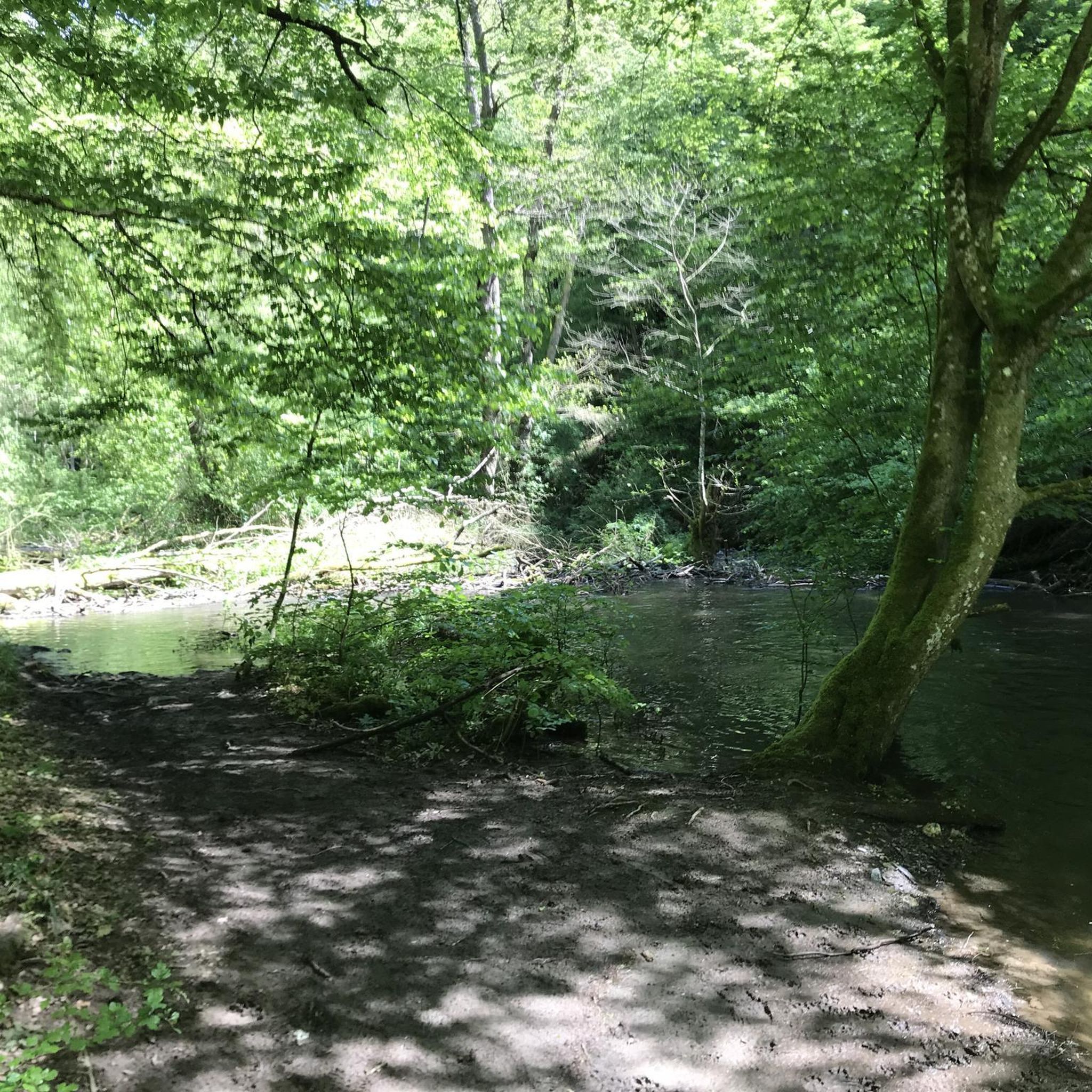
City hikes in Untere Mulde
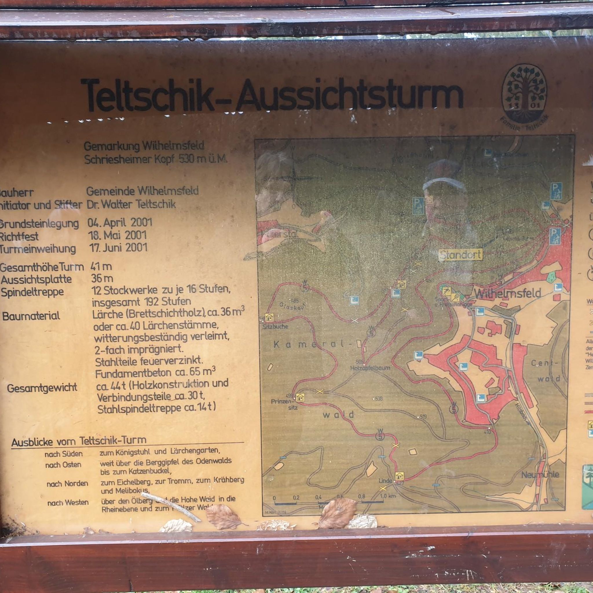
City hikes around Seelhausener Lake
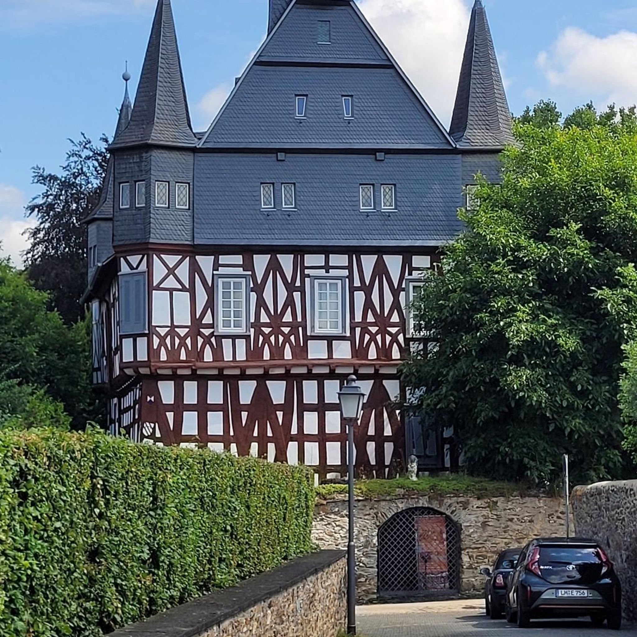
City hikes around Bitterfeld-Wolfen
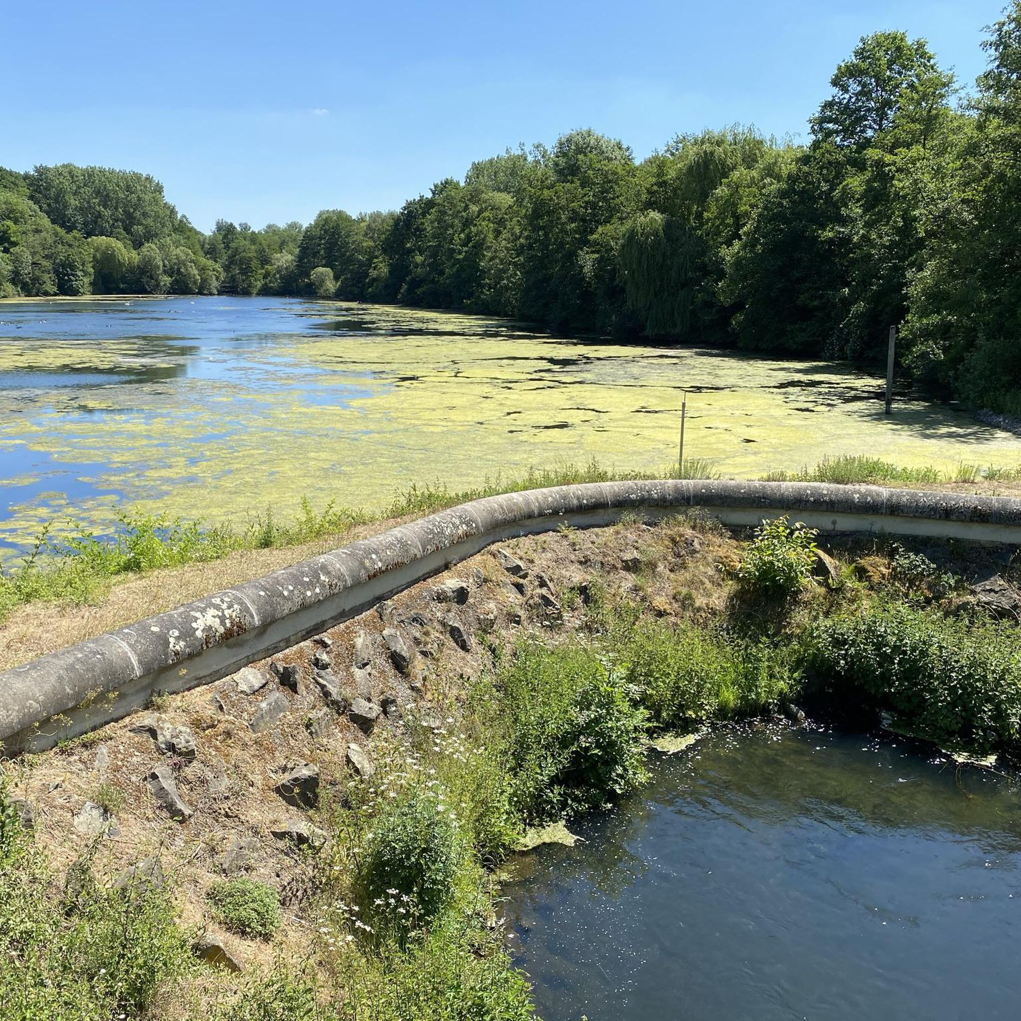
City hikes around Großer Goitzschesee
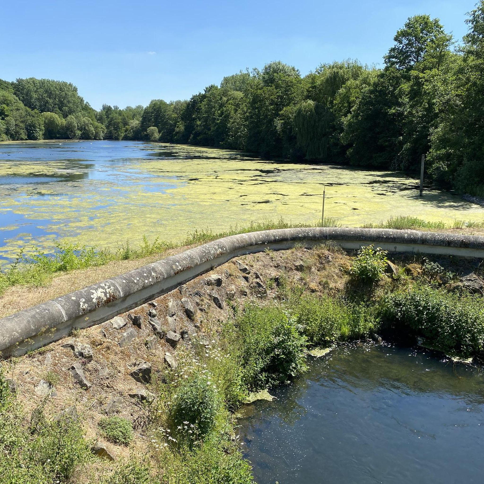
City hikes around Muldestausee
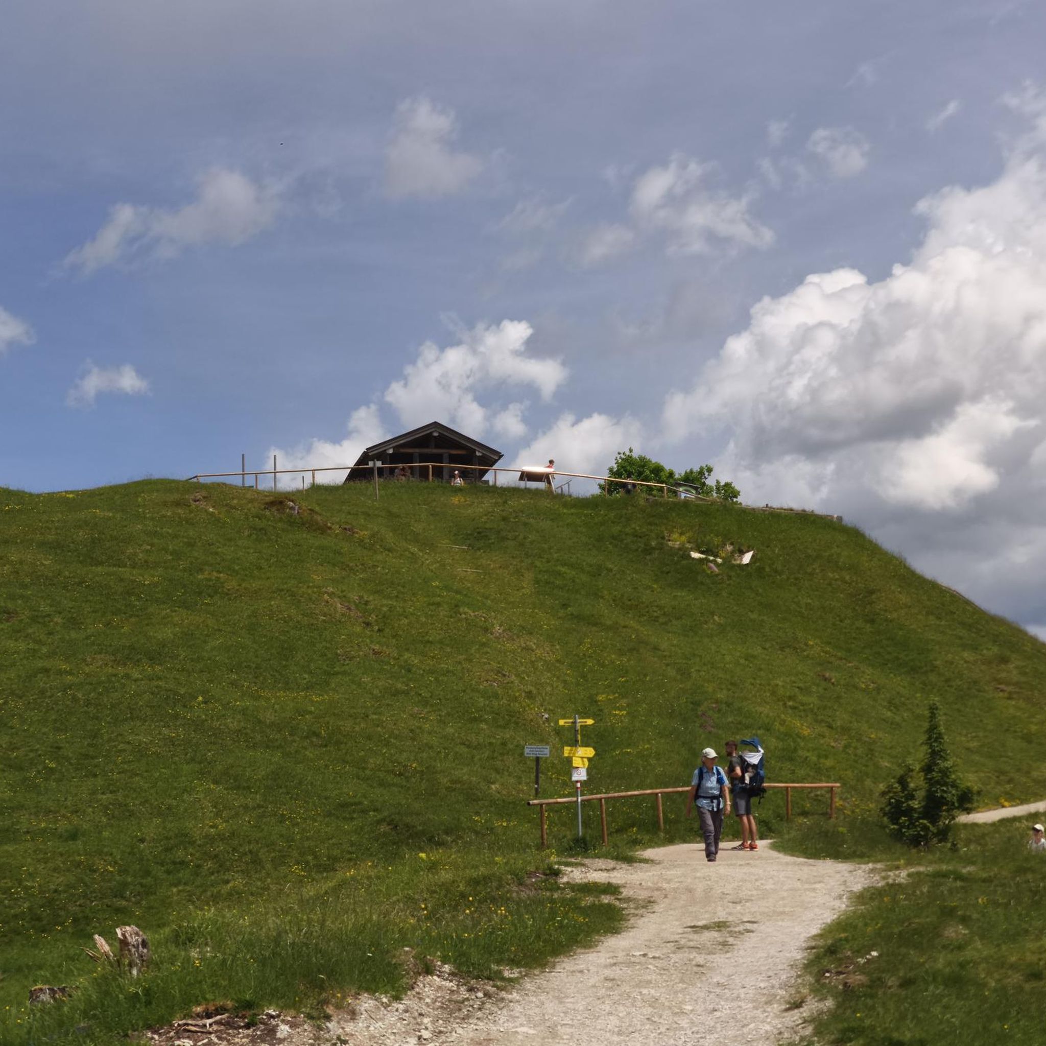
City hikes in Wulfener Bruchwiesen
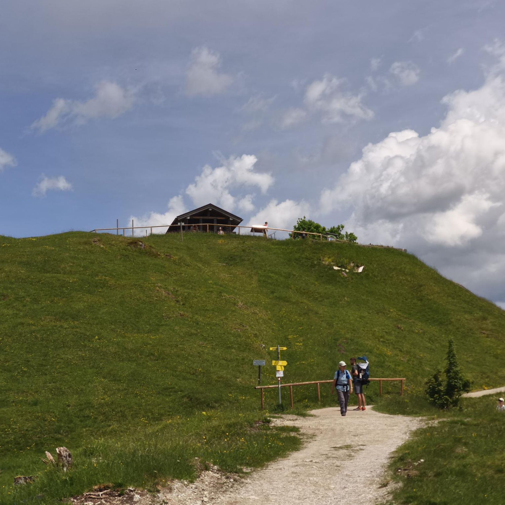
City hikes around Köthen (Anhalt)
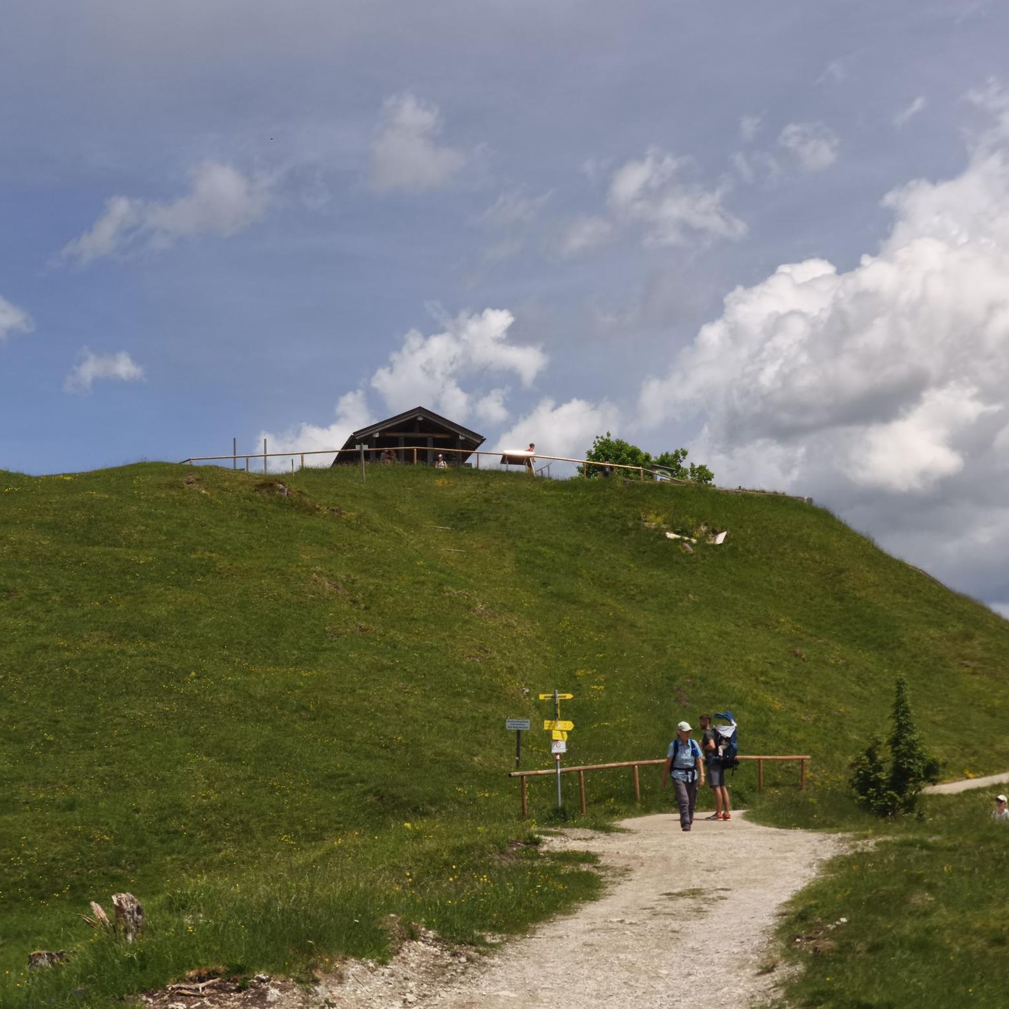
City hikes around Neolithteich
Other adventures in Anhalt-Bitterfeld


Tips from the Community

Definitely worth seeing
1
0
The reception building was demolished from March to August 2023.[6][7] The new construction began in October 2023[8][9] and was completed in July 2025. The construction project, costing around 23 million euros, was financed with funds from the Coal Regions Investment Act. The building was opened on July 16, 2025.[10] Source https://de.wikipedia.org/wiki/Bahnhof_Bitterfeld
5
0
Bitterfeld station is a station in the town of Bitterfeld-Wolfen in the Bitterfeld district in Saxony-Anhalt. The station on the Trebnitz–Leipzig railway line went into operation in 1857. Since the complete commissioning of the line from Berlin to Halle, both lines cross in Bitterfeld. Subsequently, another line to Stumsdorf was opened for traffic. Today, Bitterfeld is a long-distance train station, including an hourly stop for ICEs from Berlin to Munich. Source https://de.wikipedia.org/wiki/Bahnhof_Bitterfeld
5
0
Definitely worth seeing
0
0
Definitely worth seeing
0
0

Good home-style cooking and a lovely beer garden in the summer.
4
0
Frequently Asked Questions
How many urban hiking trails are available in Anhalt-Bitterfeld?
There are over 70 urban hiking trails in Anhalt-Bitterfeld, offering a diverse range of experiences for city explorers. The majority of these, around 65, are rated as easy, making them accessible for most walkers.
Are the urban hiking trails in Anhalt-Bitterfeld suitable for all fitness levels?
Yes, the urban hiking trails in Anhalt-Bitterfeld are generally accessible for various fitness levels. Most of the routes feature gentle terrain, with 65 out of 70 trails rated as easy. There are also 5 moderate trails for those looking for a slightly more challenging urban adventure.
What do other hikers enjoy most about urban hiking in Anhalt-Bitterfeld?
The komoot community highly rates the urban hiking experience in Anhalt-Bitterfeld, with an average score of 4.6 out of 5 stars from over 2,700 ratings. Hikers often praise the blend of re-naturalized areas, lakeside scenery, and the ease of access to these trails within or near urban centers.
Are there any circular urban walks in Anhalt-Bitterfeld?
Yes, many urban trails in Anhalt-Bitterfeld are designed as convenient circular routes. For example, you can enjoy the Filmbahn Wolfen – Kulturhaus Bitterfeld loop from Wolfen, which offers a pleasant urban circuit. Another great option is the Bitterfeld Train Station – St. Joseph Church (Holzweißig) loop from Bitterfeld.
What kind of attractions can I see along the urban hiking trails?
Urban hiking trails in Anhalt-Bitterfeld often lead you past interesting landmarks and natural features. You might encounter the expansive Great Goitzsche Lake, the bustling Bitterfeld City Harbor, or historical structures like the Red Tower (Pouch). Many routes also showcase the region's successful re-naturalization of former mining areas.
Are there family-friendly urban hiking options in Anhalt-Bitterfeld?
Absolutely. The generally gentle terrain of Anhalt-Bitterfeld makes many urban trails suitable for families. While specific 'children's paths' are often found in nature parks, the easy-rated urban loops provide safe and enjoyable walks for all ages. Consider routes with nearby parks or open spaces for children to explore.
Can I bring my dog on urban hikes in Anhalt-Bitterfeld?
Most urban hiking trails in Anhalt-Bitterfeld are dog-friendly, provided your dog is kept on a leash, especially in populated areas or near wildlife. Always be mindful of local regulations and ensure your dog's waste is properly disposed of. The varied landscapes, including lakeside paths and green spaces, offer pleasant walks for you and your canine companion.
What is the best time of year for urban hiking in Anhalt-Bitterfeld?
The best seasons for urban hiking in Anhalt-Bitterfeld are spring and autumn. During these times, the weather is mild and comfortable, and nature is particularly vibrant with colorful flower meadows in spring or golden leaves in autumn. Summer can also be pleasant, especially for lakeside walks, while winter offers a different, quieter charm.
Are there urban trails accessible by public transport in Anhalt-Bitterfeld?
Yes, many urban hiking trails in Anhalt-Bitterfeld are conveniently accessible by public transport. Routes often start near train stations or bus stops, making it easy to begin your adventure without a car. For instance, the Wolfen Railway Station – Deutsches Haus Biergarten loop begins directly from Wolfen Railway Station.
Are there urban hiking trails with cafes or restaurants nearby?
Many urban hiking trails in Anhalt-Bitterfeld offer opportunities to stop at cafes or restaurants. Given their proximity to towns and cities, you'll often find eateries along or near the routes. For example, the Deutsches Haus Biergarten – Wolfen Railway Station loop starts and ends near the Deutsches Haus Biergarten, perfect for a refreshment.
How long do urban hiking trails in Anhalt-Bitterfeld typically take?
The duration of urban hiking trails in Anhalt-Bitterfeld varies, but many are designed for shorter, enjoyable walks. For example, the St. Joseph Church (Holzweißig) – Old Primary School Holzweissig loop is about 5.7 km and takes around 1 hour 30 minutes. You'll find a range of options from quick strolls to half-day excursions.
Most popular routes in Anhalt-Bitterfeld
Most popular attractions in Anhalt-Bitterfeld

Get inspired with the komoot mobile app


Didn’t find what you were looking for?
Check out more Hikes throughout Anhalt-Bitterfeld below and find the perfect route in your destination.
Explore more
Browse the best Hikes in other regions.
