The best road cycling routes in Anhalt-Bitterfeld
4.6
(528)
4,667
riders
295
rides
Road cycling in Anhalt-Bitterfeld is characterized by its flat to gently rolling landscapes, featuring extensive lake systems and riverine areas. The region offers a network of well-maintained roads and dedicated cycle paths, many of which traverse renaturalized former open-cast mining areas. Cyclists will find routes along major rivers like the Elbe and Mulde, as well as through diverse forest and heath areas, with hills typically under 200 meters.
Best road cycling routes in Anhalt-Bitterfeld
- The most popular road cycling route…
Last updated: July 10, 2026
4.8
(110)
763
riders
45.8km
01:50
120m
120m
Moderate road ride. Great for any fitness level. Some segments of this route may be unpaved and difficult to ride.
4.9
(62)
409
riders
74.1km
02:57
210m
210m
Moderate road ride. Good fitness required. Some segments of this route may be unpaved and difficult to ride.

Sign up for free
4.6
(29)
325
riders
Moderate road ride. Great for any fitness level. Some segments of this route may be unpaved and difficult to ride.
4.7
(25)
320
riders
32.2km
01:31
90m
90m
Moderate road ride. Great for any fitness level. Some segments of this route may be unpaved and difficult to ride.
4.7
(27)
90
riders
51.3km
02:04
100m
100m
Moderate road ride. Good fitness required. Some segments of this route may be unpaved and difficult to ride.
4.4
(7)
100
riders
Moderate road ride. Good fitness required. Mostly well-paved surfaces and easy to ride.
5.0
(1)
27
riders
108km
04:25
360m
360m
Moderate road ride. Good fitness required. Some segments of this route may be unpaved and difficult to ride.
4.6
(14)
61
riders
Easy road ride. Great for any fitness level. Mostly well-paved surfaces and easy to ride.
4.9
(13)
48
riders
40.1km
01:37
120m
120m
Moderate road ride. Great for any fitness level. Some segments of this route may be unpaved and difficult to ride.
4.2
(5)
37
riders
63.0km
02:48
190m
190m
Moderate road ride. Good fitness required. Some segments of this route may be unpaved and difficult to ride.
Get access to more routes and recommendations from other explorers.
Sign up for free
Already have an account?
Our route recommendations are based on thousands of hikes, rides, and runs completed by other people on komoot.
Start today with a free account
Your next adventure awaits.
Login or Signup
Popular around Anhalt-Bitterfeld
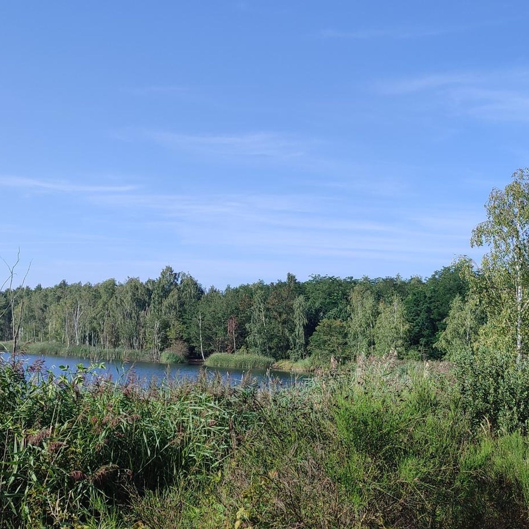
Road Cycling Routes around Bitterfeld-Wolfen
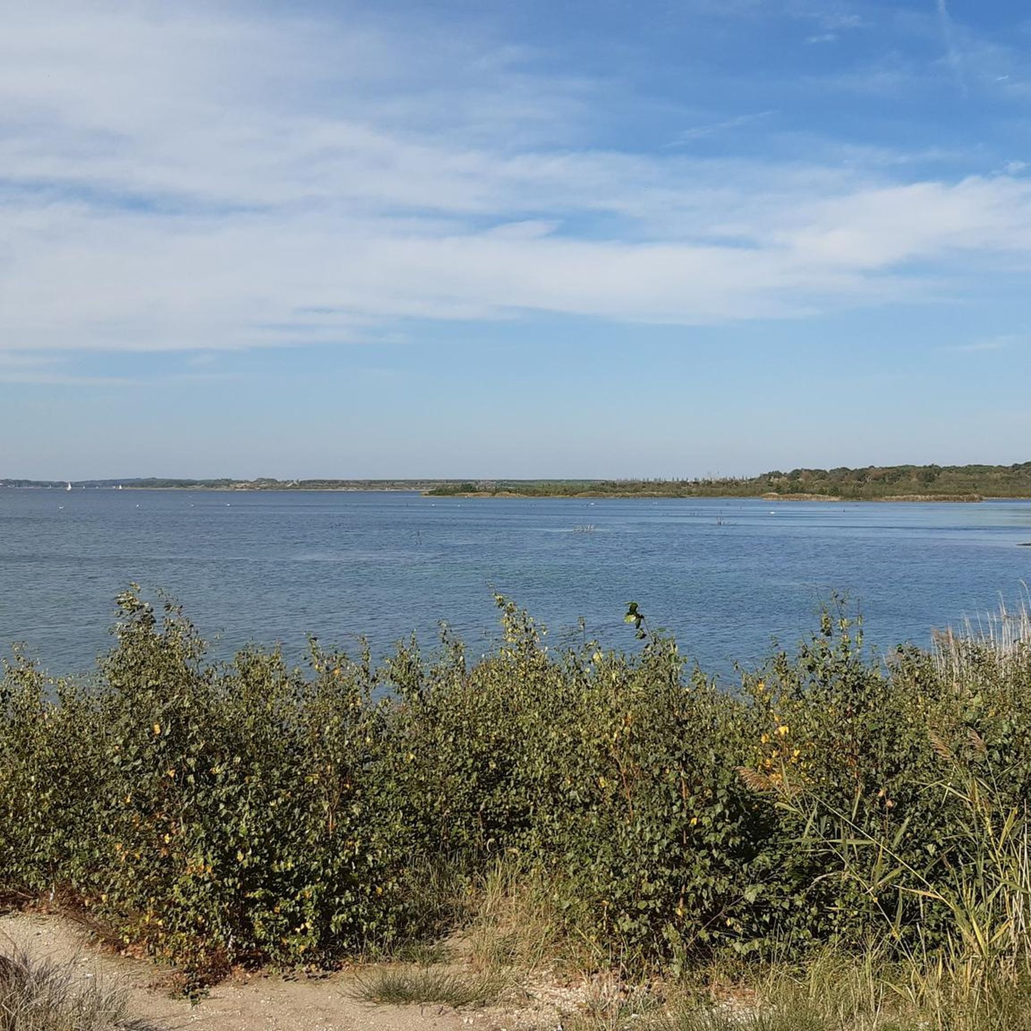
Road Cycling Routes around Großer Goitzschesee
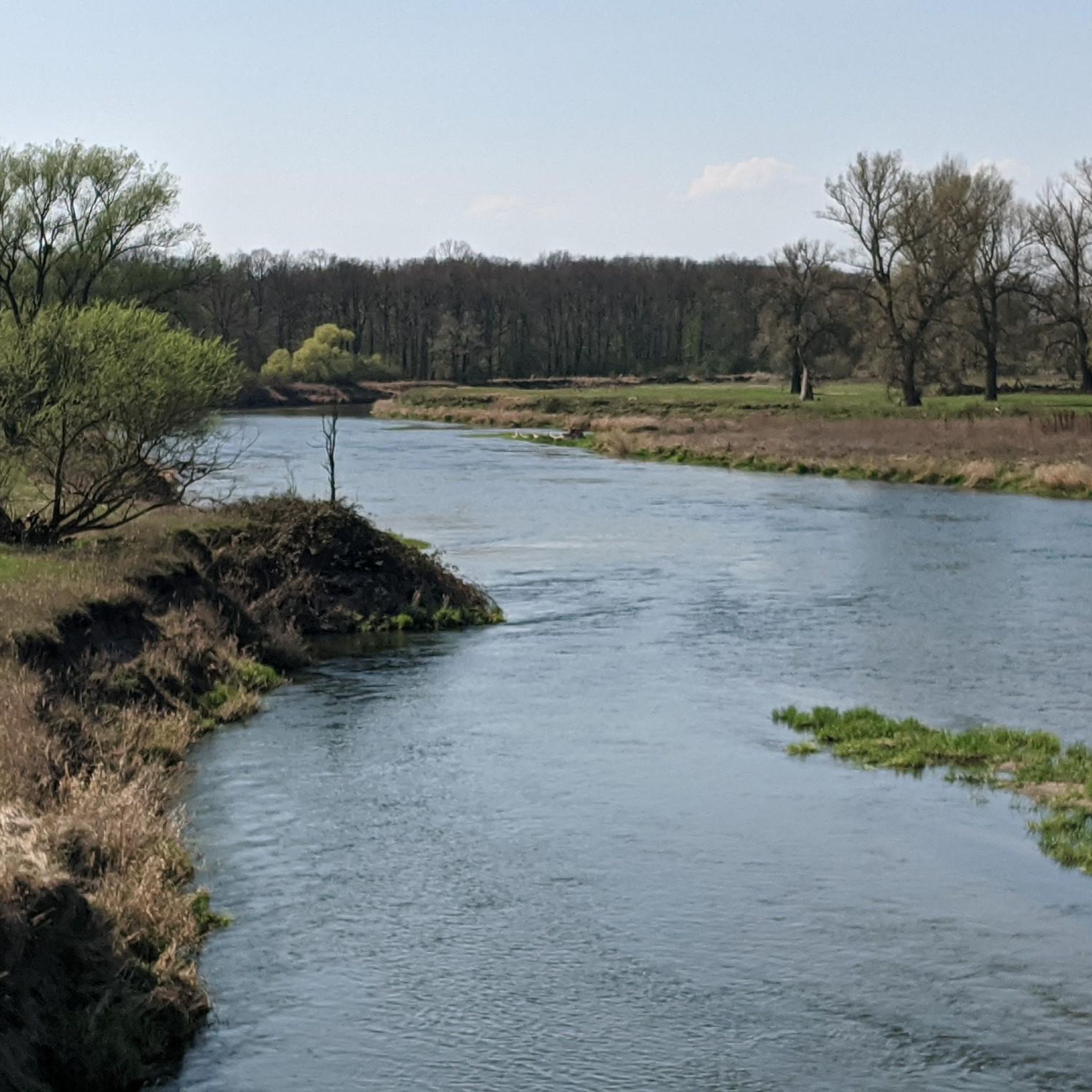
Road Cycling Routes in Untere Mulde
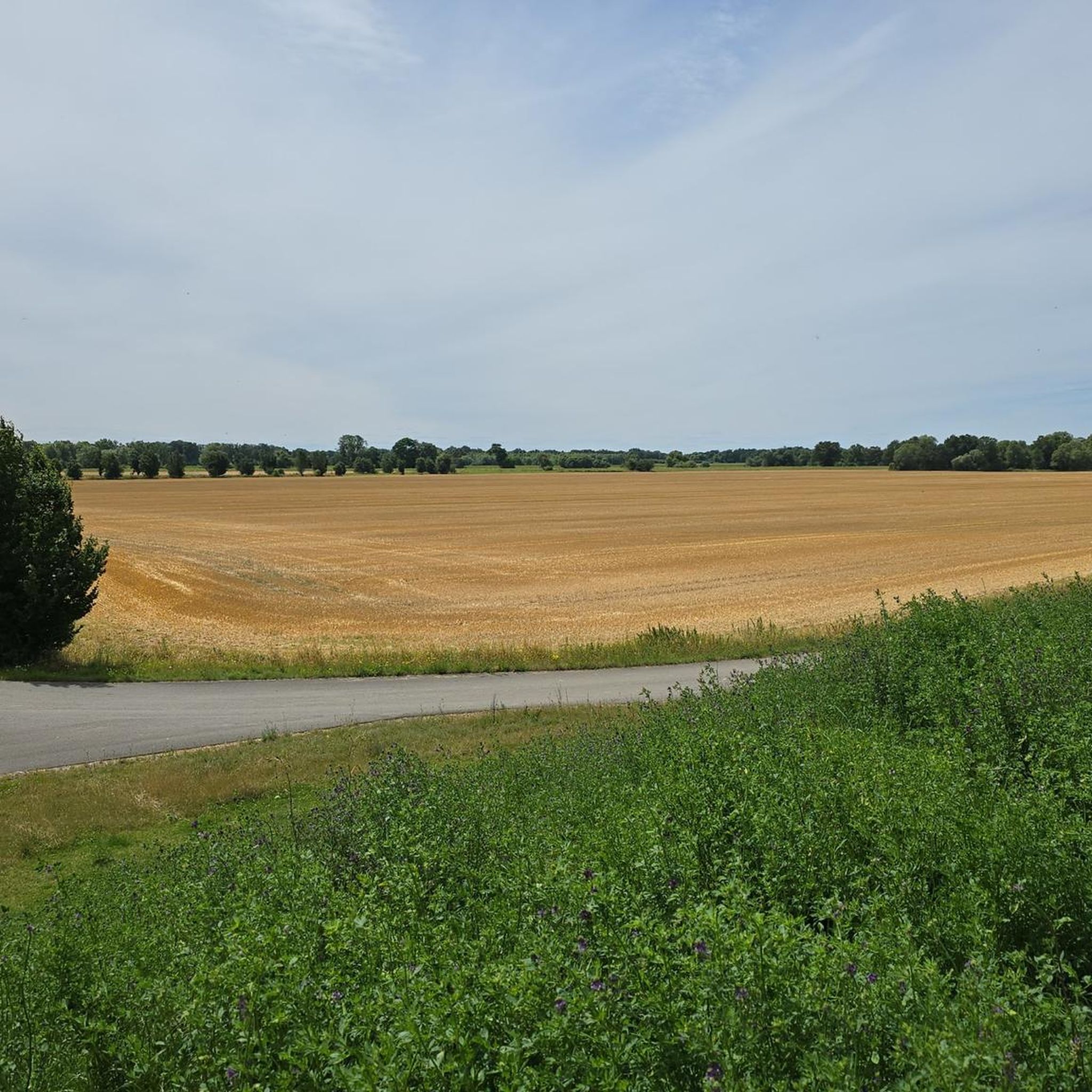
Road Cycling Routes around Muldestausee
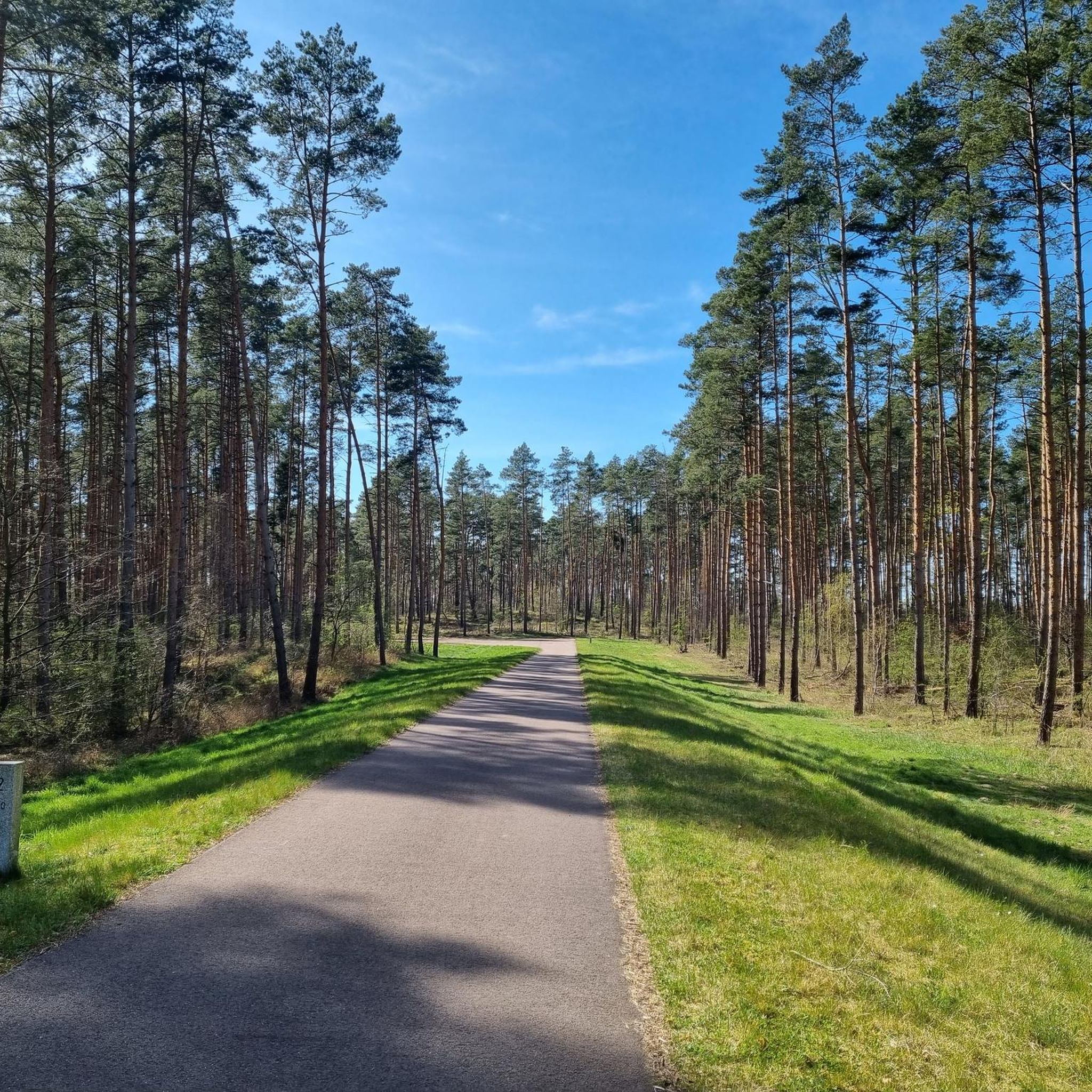
Road Cycling Routes in Kühnauer Forst
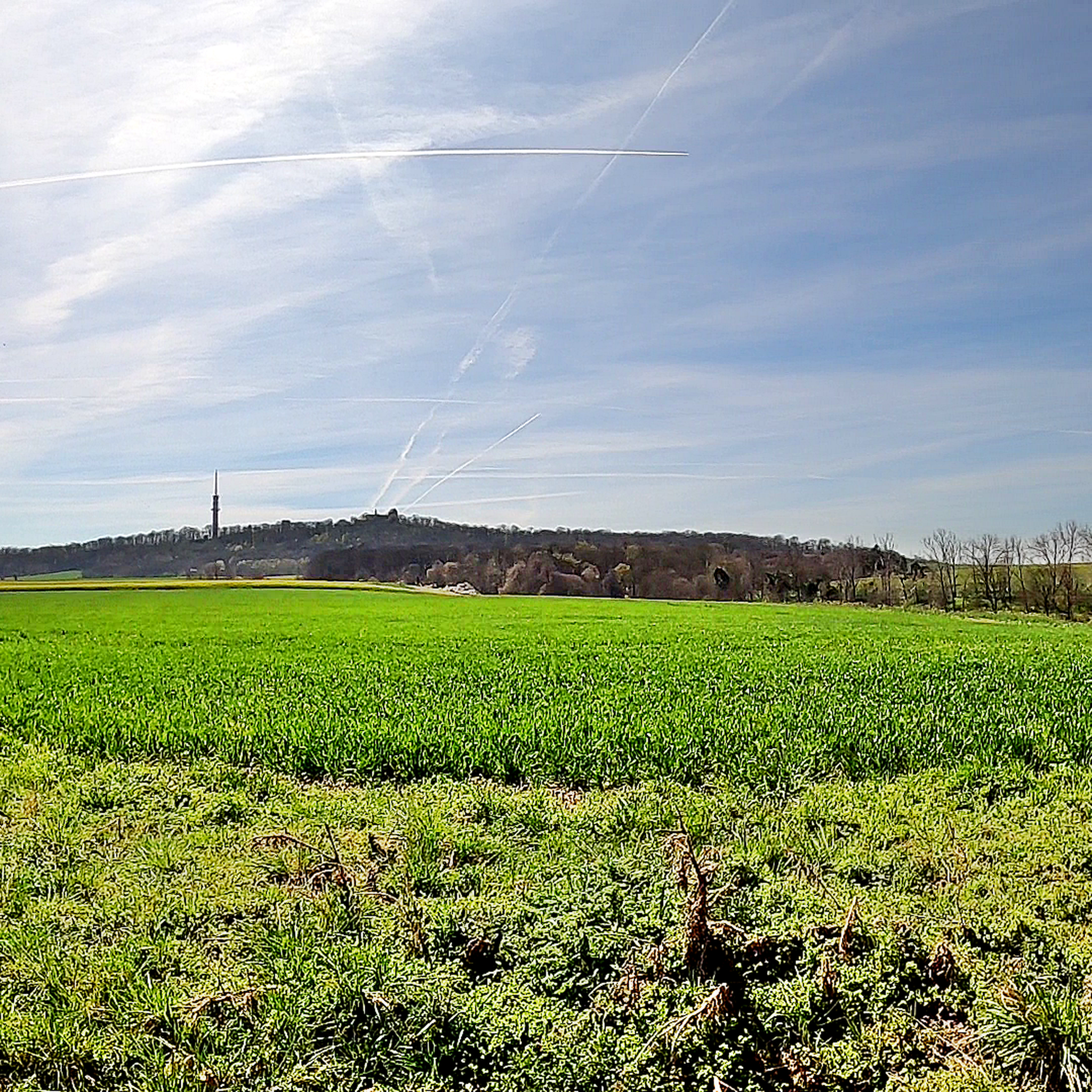
Road Cycling Routes around Köthen (Anhalt)
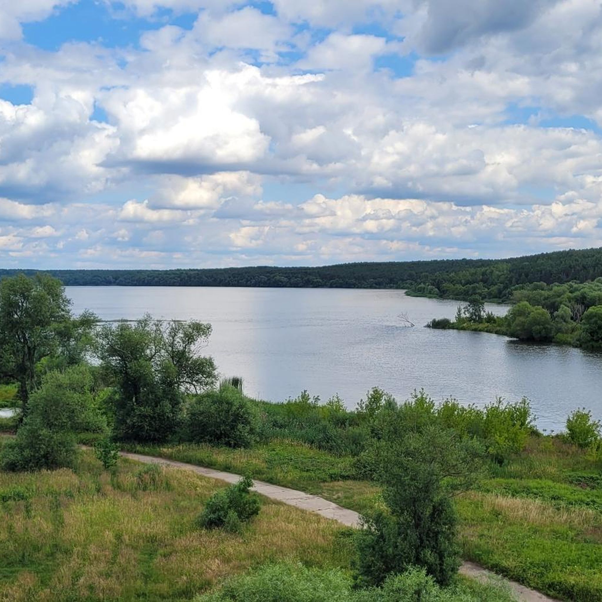
Road Cycling Routes around Muldestausee
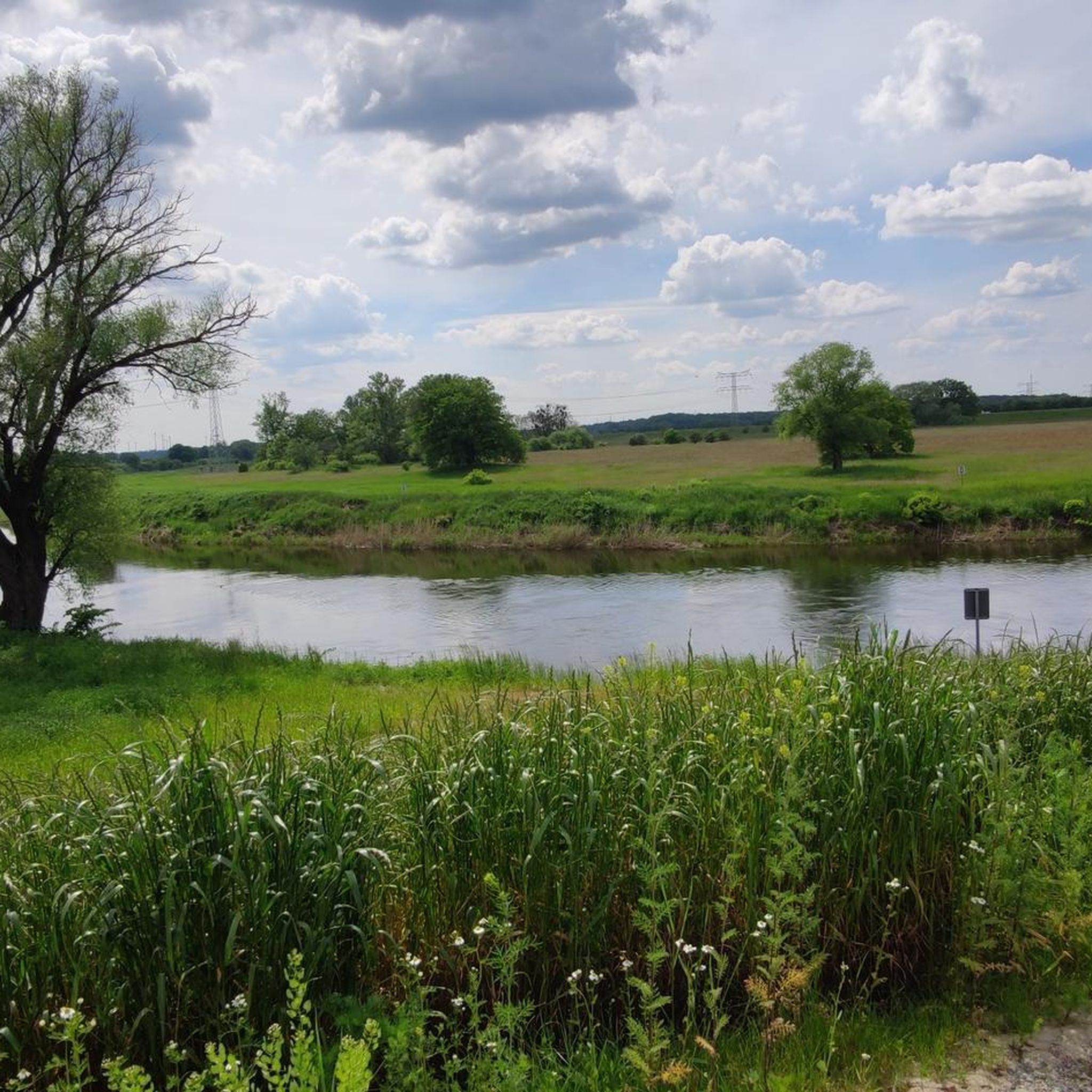
Road Cycling Routes around Raguhn-Jeßnitz
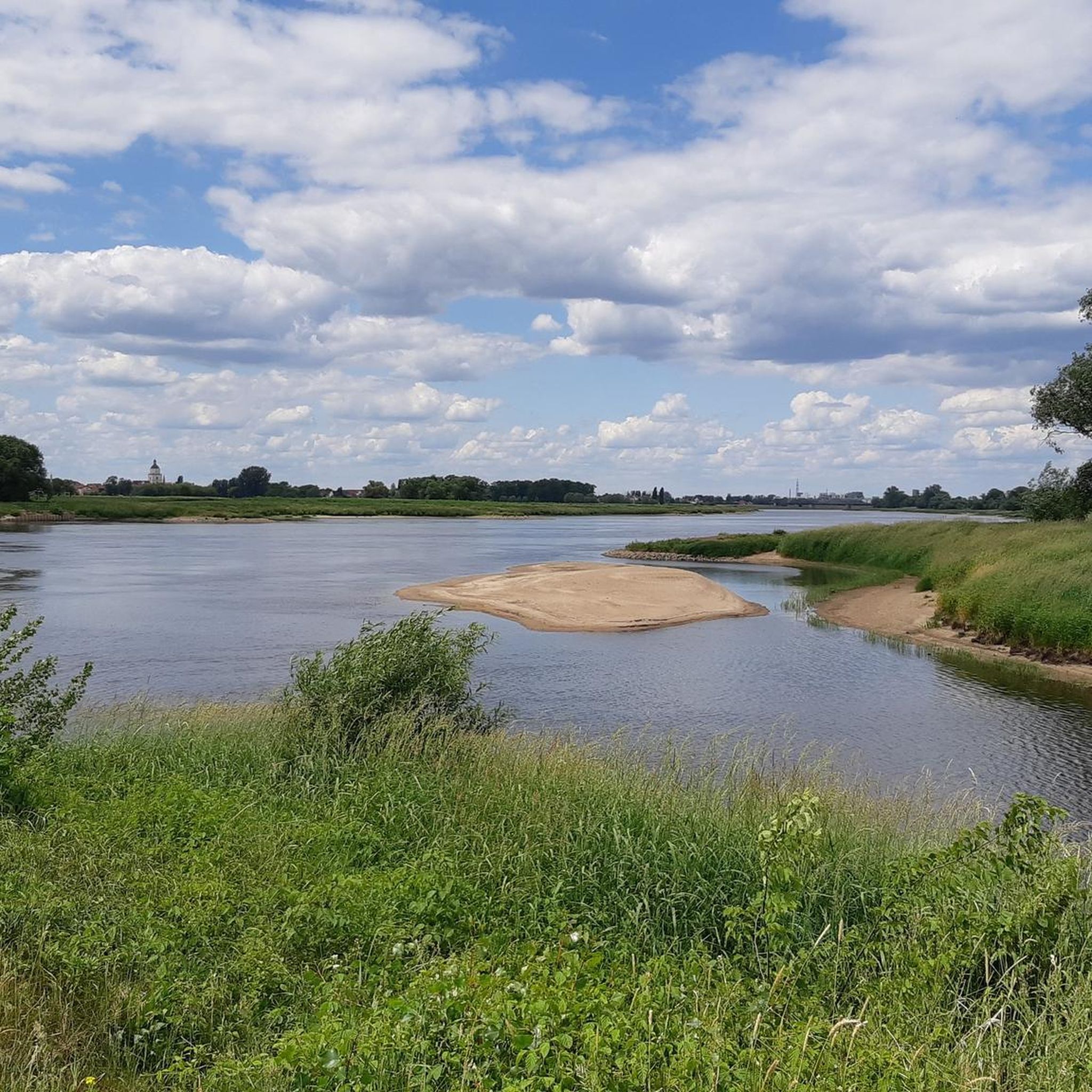
Road Cycling Routes around Zerbst/Anhalt
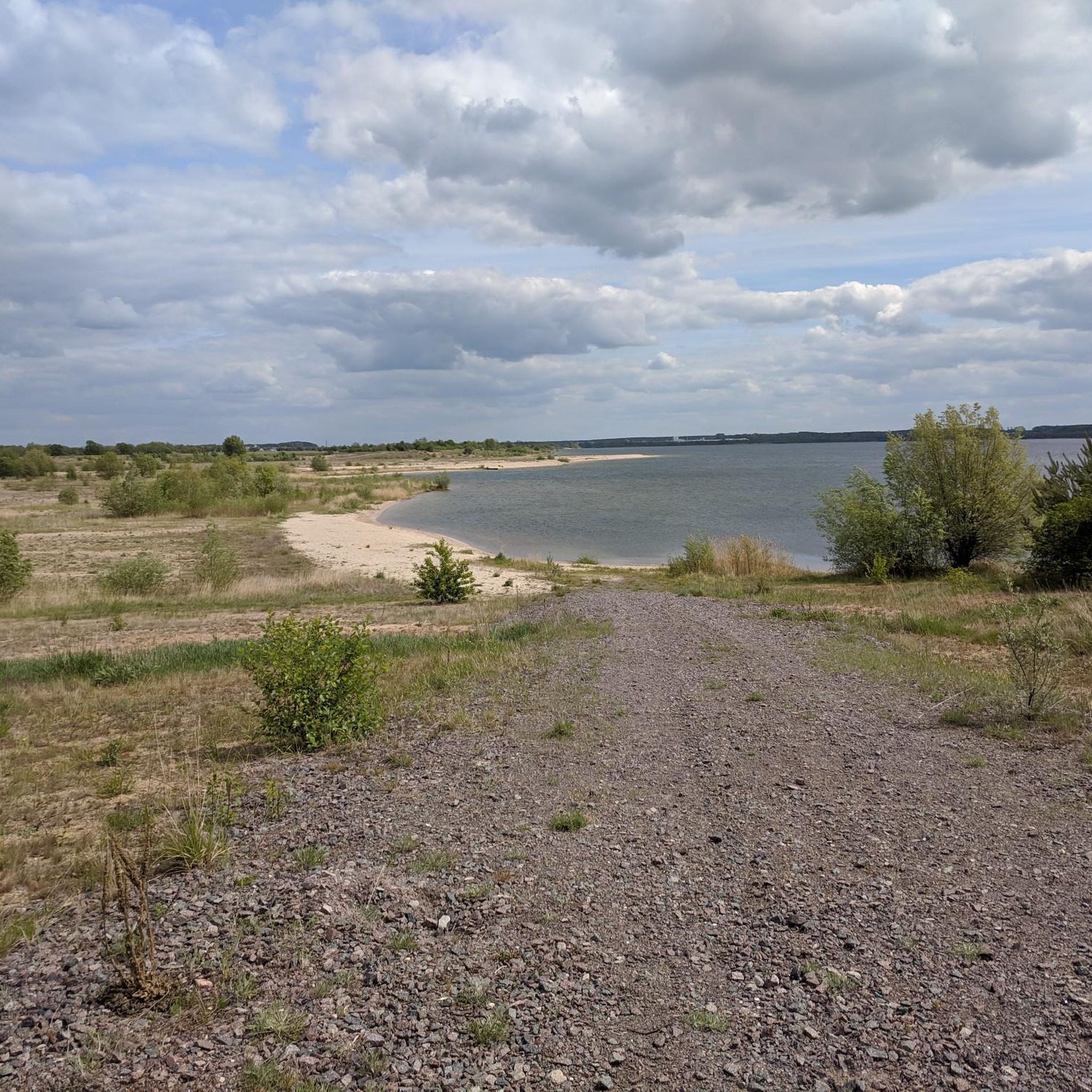
Road Cycling Routes around Seelhausener Lake
Other adventures in Anhalt-Bitterfeld


Tips from the Community

Great view from the bridge of the Mulde weir
1
0

Beautiful lake with a circular path. This circular path is quite wide and 3/4 asphalted. The lake and forest resort is recommendable 👍
1
0
Simply wonderful 👍
1
0

Also commonly known as an egg slicer.
5
0
The Mulde River flows entirely within the North German Plain, initially through the Saxon Hills and past Grimma, Nerchau, and Trebsen. Near Wurzen, along whose western edge it runs, the Mulde reaches the Elbe-Mulde Lowland. It then flows through Eilenburg and Bad Düben and shortly thereafter leaves Saxony. The Mulde completes the remaining course of its journey to its confluence with the Elbe in Saxony-Anhalt. Until 1975, the Mulde flowed west of the towns of Pouch and Friedersdorf in the area of what is now Lake Goitzsche. Since then, it has been dammed east of these towns to form the Mulde Reservoir – a former open-cast mine. The Mulde then flows past Muldenstein, Jeßnitz, Raguhn, and Dessau, emptying into the Elbe between Dessau and Roßlau after a course of 147 km.[2] [2] The "Wild Mulde" revitalization project for the lower reaches of the Mulde River in Dessau was recognized as an official project of the UN Decade on Biodiversity in November 2018.[11][12] Source: https://de.wikipedia.org/wiki/Mulde_(Fluss)
4
0
Although the confluence of the two source streams occurs at approximately half the total length of the Mulde River, the Freiberger Mulde and the Zwickauer Mulde already contribute over 80% of its total water volume. This is due, firstly, to the shape of the catchment area, which is very wide in the Ore Mountains and narrows towards the Elbe River, and secondly, to the higher precipitation and correspondingly higher runoff volumes in the mountains. The shape of the catchment areas also means that the longer Zwickauer Mulde is the smaller of the two source streams at the confluence. The Zschopau is the dominant hydrological branch of the Freiberger Mulde river system. In its upper catchment area, the Flöha, a named tributary, contributes the largest volume of water and is thus the actual source stream of the Mulde. The Mulde is approximately 267 kilometers long via this main route and over 314 kilometers via its longest route (the Zwickauer Mulde).[3] [3] The Mulde's catchment area has a total gradient of 600 to 900 meters for many of its major channels, resulting in exceptionally high flow velocities for northern Germany. The Mulde is sometimes even described as the fastest-flowing river in Central Europe.[10] Source: https://de.wikipedia.org/wiki/Mulde_(Fluss)
4
0
Frequently Asked Questions
How many road cycling routes are available in Anhalt-Bitterfeld?
Anhalt-Bitterfeld offers a wide selection of road cycling routes, with over 300 tours available on komoot. This includes 64 easy, 239 moderate, and 3 difficult routes, catering to various skill levels.
Are there road cycling routes suitable for families in Anhalt-Bitterfeld?
Yes, Anhalt-Bitterfeld is well-suited for family-friendly road cycling. The region's flat to gently rolling landscapes, especially along the extensive lake systems and riverine areas like the Elbe and Mulde, provide many easy and moderate routes. These paths often feature dedicated cycle paths, making them safe and enjoyable for all ages.
What kind of scenery can I expect on road cycling routes in Anhalt-Bitterfeld?
Road cycling in Anhalt-Bitterfeld offers diverse scenery, from extensive lake systems like the Great Goitzsche Lake and Lake Gröbern, many of which are renaturalized former open-cast mining areas, to picturesque riverine landscapes along the Elbe and Mulde. You'll also find routes through diverse forest and heath areas, such as the Düben Heath Nature Park.
Are there circular road cycling routes in Anhalt-Bitterfeld?
Many road cycling routes in Anhalt-Bitterfeld are designed as loops, allowing you to start and end at the same point. Examples include the popular View of Lake Goitzsche – Großer Goitzschesee loop from Bitterfeld or the longer Großer Goitzschesee – View of Lake Goitzsche loop from Raguhn, both offering scenic tours around the Great Goitzsche Lake.
What are some notable attractions or landmarks along the road cycling routes?
Cyclists can discover several interesting attractions. Near the Great Goitzsche Lake, you can visit the Bitterfeld City Harbor or the unique Bitterfelder Bogen, an impressive steel arch structure offering panoramic views. Other highlights include Cösitz Castle and the Arboretum Burgkemnitz, which can be incorporated into your rides.
What is the best time of year for road cycling in Anhalt-Bitterfeld?
The spring, summer, and early autumn months generally offer the best conditions for road cycling in Anhalt-Bitterfeld. During these seasons, the weather is typically mild, and the landscapes are vibrant, making for pleasant rides along the lakes, rivers, and through forested areas.
Are there options for parking near road cycling routes?
Yes, many road cycling routes in Anhalt-Bitterfeld offer convenient parking options, especially near popular starting points around the major lakes and towns. It's advisable to check specific route details on komoot for information on designated parking areas.
Can I access road cycling routes using public transport?
Anhalt-Bitterfeld has public transport connections that can facilitate access to various cycling routes. Major towns like Bitterfeld often serve as hubs, and some regional trains and buses allow for bicycle transport, making it possible to reach starting points or return from endpoints without a car.
What do other road cyclists enjoy most about road cycling in Anhalt-Bitterfeld?
The komoot community highly rates road cycling in Anhalt-Bitterfeld, with an average score of 4.6 stars from over 460 reviews. Cyclists often praise the well-maintained paths, the scenic beauty of the renaturalized lake landscapes, and the generally flat terrain that makes for enjoyable rides.
Are there any challenging road cycling routes for experienced riders?
While much of Anhalt-Bitterfeld is flat to gently rolling, offering many moderate routes, there are a few options for experienced riders seeking more challenge. The region does feature some varied elevations, with hills typically under 200m. For steeper inclines, the Hohenzollern Pass near Dessau-Roßlau, just outside the immediate region, is known to offer a more demanding ride.
Where can I find cafes or accommodation along the routes?
Along popular routes, especially those around the Great Goitzsche Lake and the Elbe and Mulde Cycle Paths, you'll find various cafes, restaurants, and accommodation options. Towns like Bitterfeld and Aken (Elbe) offer amenities for cyclists to refuel and rest. Specific points of interest like the Goitzsche Beach also provide facilities.
Are there any routes that explore the region's industrial heritage?
Yes, Anhalt-Bitterfeld has a unique history of renaturalized industrial areas. The region features themed routes, such as the 'Coal | Steam | Light' cycle route, which allows cyclists to explore this heritage. The transformation of former open-cast mining areas into beautiful lake landscapes, like the Goitzsche, is a central theme of many rides, offering a blend of natural beauty and historical context.
Most popular routes in Anhalt-Bitterfeld
Most popular attractions in Anhalt-Bitterfeld

Get inspired with the komoot mobile app


Didn’t find what you were looking for?
Check out more Road cycling routes throughout Anhalt-Bitterfeld below and find the perfect route in your destination.
Explore more
Browse the best Road cycling routes in other regions.
