The best hikes from bus stations in Ludwigshafen am Rhein
4.4
(517)
3,737
hikers
167
hikes
Bus station hiking trails in Ludwigshafen am Rhein offer access to diverse landscapes along the Rhine River and into various natural reserves. The region features riverbanks, extensive protected areas like Maudacher Bruch with varied terrain, and tranquil pond environments. At 125 meters, Michaelsberg provides the highest elevation point, offering views over the city and towards the Palatinate. These physical features create a range of hiking opportunities within and around the urban area.
Best bus station hiking trails in Ludwigshafen am…
Last updated: July 11, 2026
4.4
(41)
102
hikers
11.7km
02:57
20m
20m
Moderate hike. Good fitness required. Easily-accessible paths. Suitable for all skill levels.
4.5
(45)
333
hikers
Moderate hike. Good fitness required. Easily-accessible paths. Suitable for all skill levels.

Sign up for free
3.2
(11)
79
hikers
5.53km
01:24
10m
10m
Easy hike. Great for any fitness level. Easily-accessible paths. Suitable for all skill levels.
4.1
(7)
78
hikers
Easy hike. Great for any fitness level. Easily-accessible paths. Suitable for all skill levels.
4.0
(8)
27
hikers
Moderate hike. Good fitness required. Easily-accessible paths. Suitable for all skill levels.
Get access to more routes and recommendations from other explorers.
Sign up for free
Already have an account?
Our route recommendations are based on thousands of hikes, rides, and runs completed by other people on komoot.
Start today with a free account
Your next adventure awaits.
Login or Signup
Popular around Ludwigshafen am Rhein

Hikes from bus stations around Parkwald Maudacher Bruch

#GoFurther – discover the views of Germany!
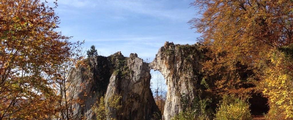
On the tracks of Homo Sapiens and ancient cultures

The Rhine Cycle Path — From the source to the North Sea
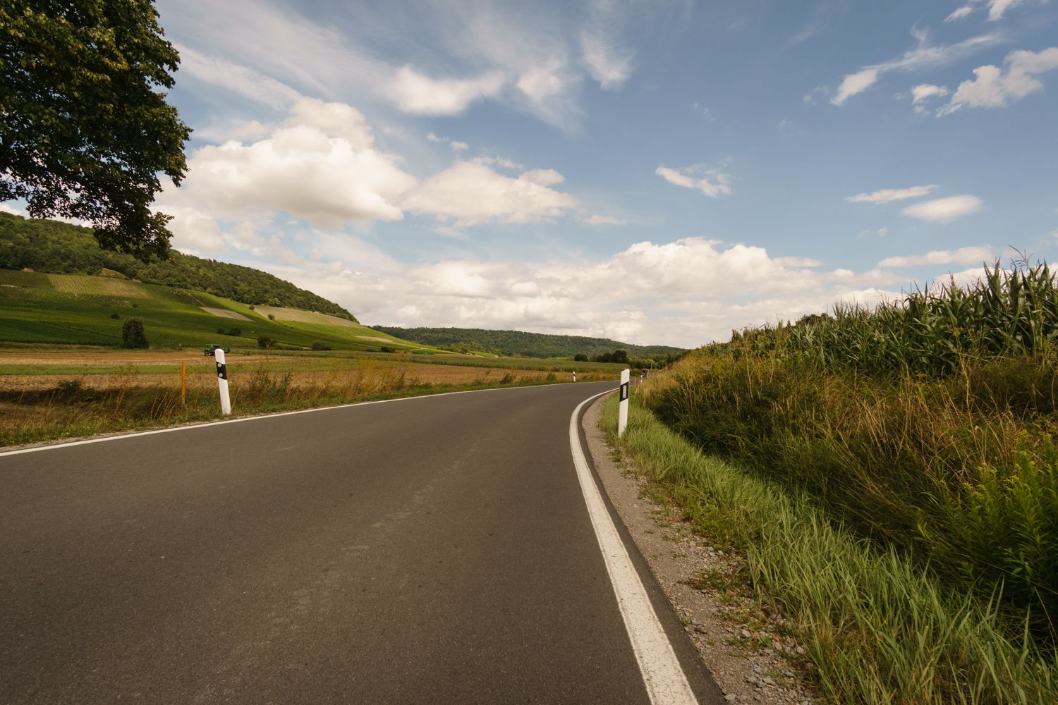
The Rhine-Neckar-Area's best after-work rides
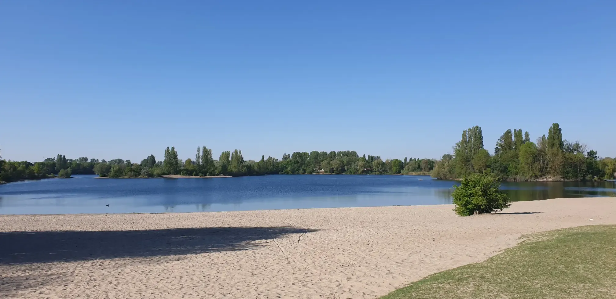
Jump right in! Swimming lakes in the Rhine-Neckar Triangle
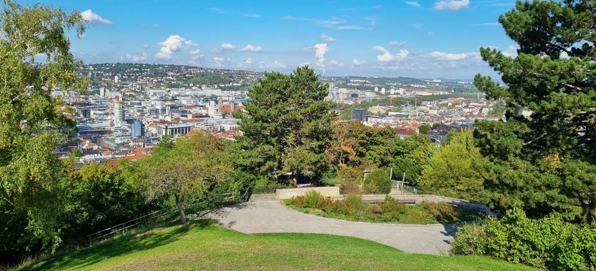
Einfach durch Stuttgart, Karlsruhe und Mannheim
Other adventures in Ludwigshafen am Rhein


Tips from the Community

The historic Pegeluhr on Ludwigshafen's Parkinsel (An der Kammerschleuse 1) is a listed sandstone tower dating from 1900.
1
0

Also called Parkinsel, great stretch of trail, beware of people and animals crossing spontaneously.
0
0

A great place for a break. 😊
0
0

The square right on the Rhine, with its bench and table, is definitely inviting. We wanted to have a coffee on the garden terrace of the nearby hotel/café (5 p.m.), but we were told it was already too late, but we could stay for another half hour. (We left; if you don't want to, you can leave.)
1
0

Beautiful from the side, if you stand behind the object not
2
0
beautiful place directly on the lake and away
1
0


Heiligensand is great for watching waterfowl.
0
0
Frequently Asked Questions
How many bus-accessible hiking trails are available in Ludwigshafen am Rhein?
There are over 160 hiking trails in Ludwigshafen am Rhein that are easily accessible by bus. This guide focuses specifically on routes starting directly from bus stations, making it convenient to explore the region's diverse landscapes without a car.
Are there easy or beginner-friendly hiking trails accessible by bus in Ludwigshafen am Rhein?
Yes, a significant number of trails are suitable for beginners and those looking for an easy walk. Out of the available routes, 136 are rated as easy. A great option is the Willersinnweiher – Begütenweiher loop from Oppau, which takes you through tranquil pond environments.
Can I find circular hiking routes starting from bus stations in Ludwigshafen am Rhein?
Absolutely. Many of the bus-accessible routes are circular, allowing you to start and end your hike at the same bus station. For example, the Holz’scher Pond – Michaelsberg (Ludwigshafen) loop from Rheingönheim offers a scenic circular experience.
What are some scenic viewpoints accessible via bus station hikes in Ludwigshafen am Rhein?
Ludwigshafen's highest point, Michaelsberg, offers excellent viewpoints over the city and towards the Palatinate region. Several routes incorporate this area, such as the Michaelsberg (Ludwigshafen) – Hunter's Pond loop from Gartenstadt, providing rewarding vistas.
Are there family-friendly walks accessible by bus in Ludwigshafen am Rhein?
Yes, Ludwigshafen offers several green spaces perfect for families. The Maudacher Bruch Nature Reserve, accessible via routes like the Michaelsberg (Ludwigshafen) – Maudacher Bruch Nature Reserve loop from Rheingönheim, features varied terrain and 'jungle-like' sections that children often enjoy. Additionally, the Wildpark Rheingönheim provides forested trails and animal sightings.
Are the bus-accessible hiking trails in Ludwigshafen am Rhein dog-friendly?
Many of the natural areas and trails in Ludwigshafen am Rhein are dog-friendly, provided dogs are kept on a leash, especially in nature reserves like Maudacher Bruch. Always check local regulations for specific areas. The riverside paths along the Rhine are generally suitable for walks with dogs.
What kind of natural landscapes can I expect to see on these bus station hikes?
You'll encounter a diverse range of landscapes. The region features picturesque Rhine riverbanks, tranquil pond areas like Begütenweiher, and the extensive Maudacher Bruch Nature Reserve with its meadows, swamps, and unique 'jungle-like' sections. You can also find routes leading through forested areas and towards viewpoints like Michaelsberg.
What interesting landmarks or attractions can I explore along these routes?
Along your hikes, you can discover several points of interest. The Maudacher Bruch Nature Reserve itself is a significant natural attraction. You might also pass by the serene Begütenweiher, or see the Rhine Level Clock on Park Island. The Hannelore-Kohl Promenade offers pleasant riverside views.
Are there places to eat or rest along the bus-accessible hiking trails?
Yes, you can find options for refreshments and rest. The Old Rhine – Beach Bar Silbersee loop from Kopflache am Friesenheimer Altrhein, for instance, suggests a break at the Beach Bar Silbersee. Additionally, areas like the Beer Garden Pfälzerwaldverein and the Weisses Haus are accessible, offering places to eat and relax.
What do other hikers enjoy the most about hiking in Ludwigshafen am Rhein?
The area is highly rated by the komoot community, with an average score of 4.37 stars from over 440 ratings. Reviewers often praise the accessibility of the trails by public transport, the peaceful natural environments like Maudacher Bruch, and the variety of landscapes from riverside paths to forested areas.
What is the typical duration for bus-accessible hikes in Ludwigshafen am Rhein?
The duration of hikes varies widely depending on the route and your pace. Easy trails can be as short as 1-2 hours, while moderate routes, such as the Holz’scher Pond – Michaelsberg (Ludwigshafen) loop from Rheingönheim, can take around 3 hours. Longer routes, like the Old Rhine – Beach Bar Silbersee loop, can extend to 5 hours or more.
Most popular routes in Ludwigshafen am Rhein
Most popular attractions in Ludwigshafen am Rhein

Get inspired with the komoot mobile app


Didn’t find what you were looking for?
Check out more Hikes throughout Ludwigshafen am Rhein below and find the perfect route in your destination.
Explore more
Browse the best Hikes in other regions.
