The best traffic-free bike rides around Mauther Forst
4.5
(10)
290
riders
5
rides
Road cycling around Mauther Forst offers diverse terrain within the Bavarian Forest National Park, characterized by significant elevation changes and dense forest cover. This low mountain range region features prominent peaks and varied forest types, providing challenging and scenic routes. The area includes both mountain spruce forests at higher altitudes and mixed forests with beech and fir on warmer slopes. Cyclists can find numerous paved paths suitable for no traffic road cycling routes, often with substantial climbs.
Best no traffic…
Last updated: July 11, 2026
12
riders
41.6km
02:13
760m
760m
Moderate road ride. Good fitness required. Mostly well-paved surfaces and easy to ride.
16
riders
Moderate road ride. Good fitness required. Some segments of this route may be unpaved and difficult to ride.

Sign up for free
7
riders
Moderate road ride. Good fitness required. Some segments of this route may be unpaved and difficult to ride.
3
riders
40.2km
02:15
860m
860m
Moderate road ride. Good fitness required. Mostly well-paved surfaces and easy to ride.
4
riders
61.5km
03:21
1,170m
1,170m
Hard road ride. Very good fitness required. Mostly well-paved surfaces and easy to ride.
Our route recommendations are based on thousands of hikes, rides, and runs completed by other people on komoot.
Start today with a free account
Your next adventure awaits.
Login or Signup
Popular around Mauther Forst
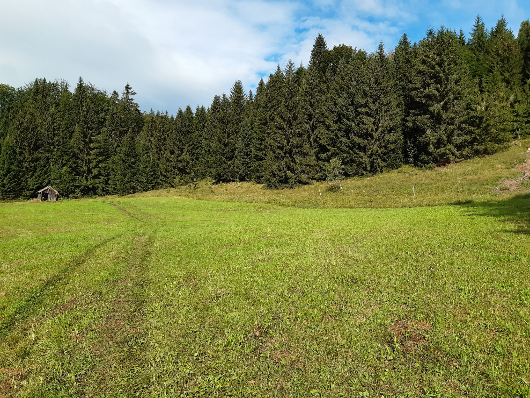
Discover the Green Belt in the Bavarian Forest with BUND
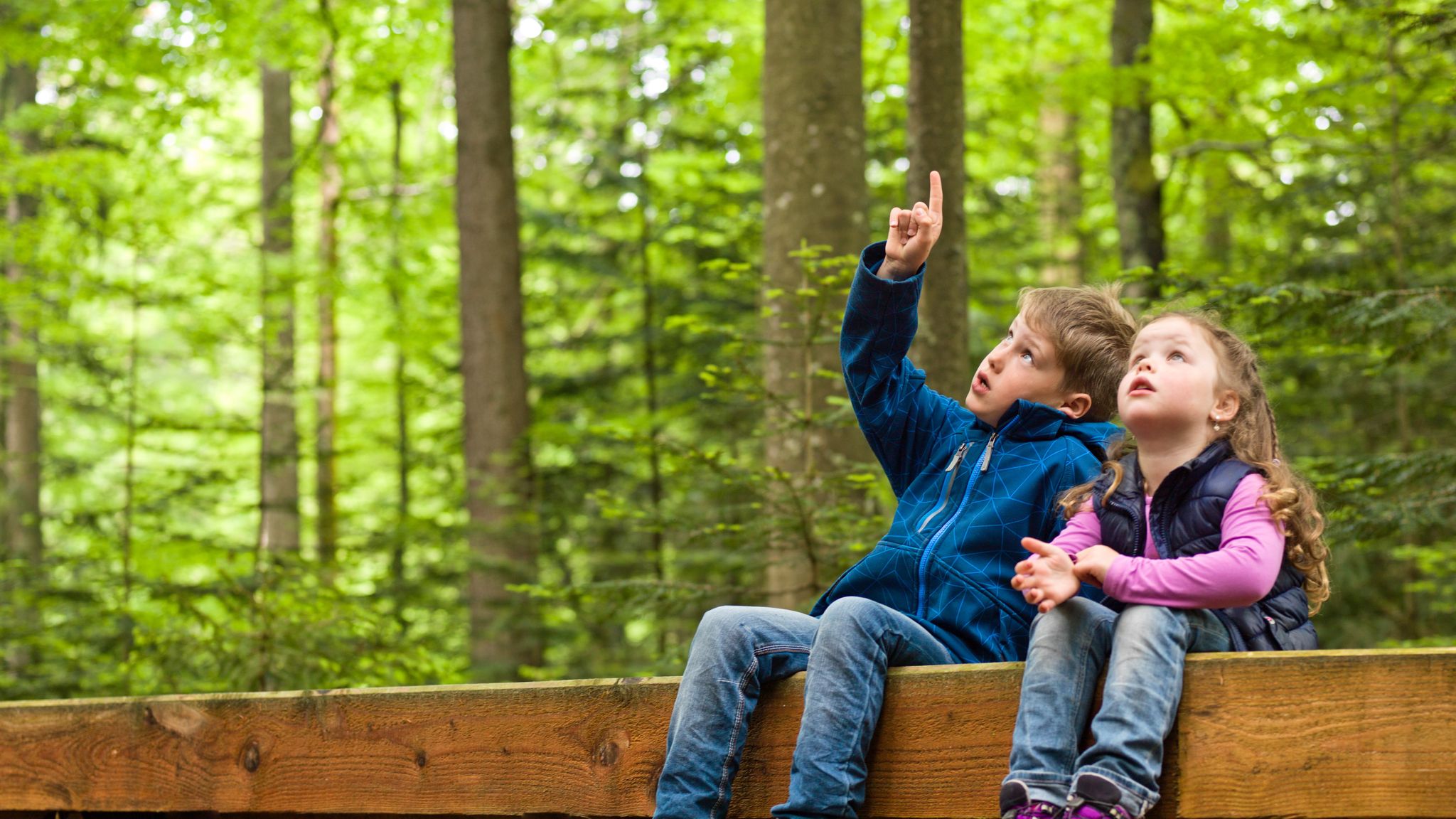
Family-friendly hikes in the Bavarian Forest National Park
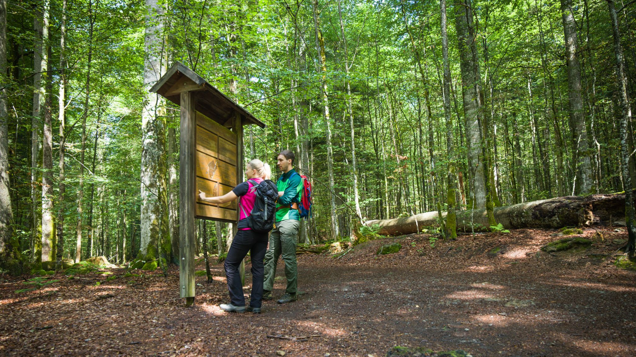
Accessible hiking in the Bavarian Forest National Park
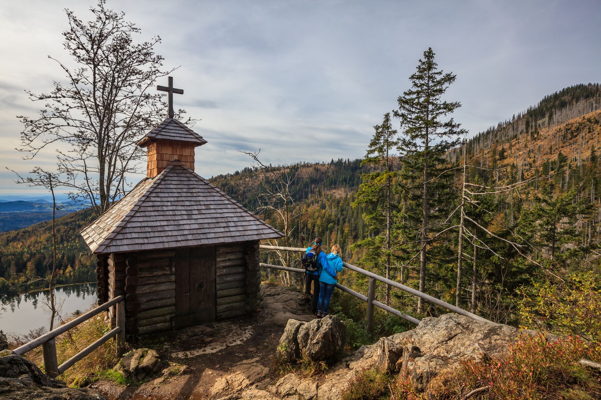
Lovely hikes in the Bavarian Forest National Park

Discover the nature along the “Greenbelt” together with the BUND
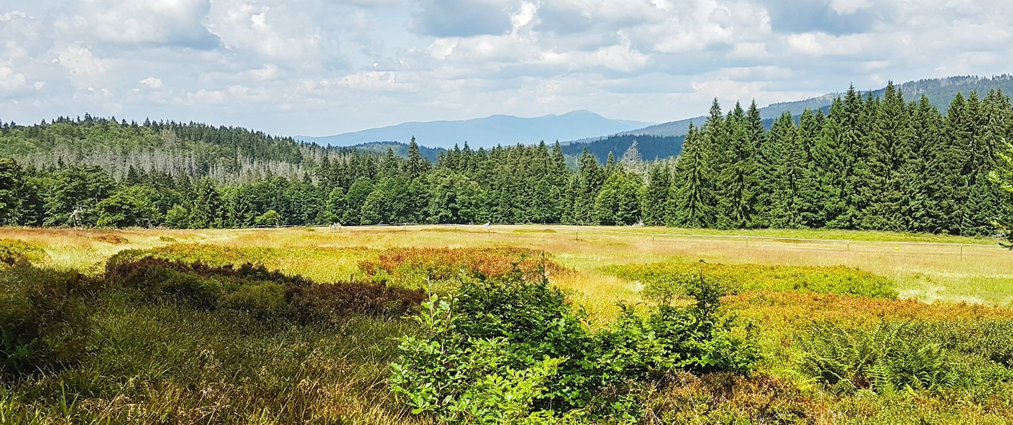
Let nature be nature – hiking in the Bavarian Forest
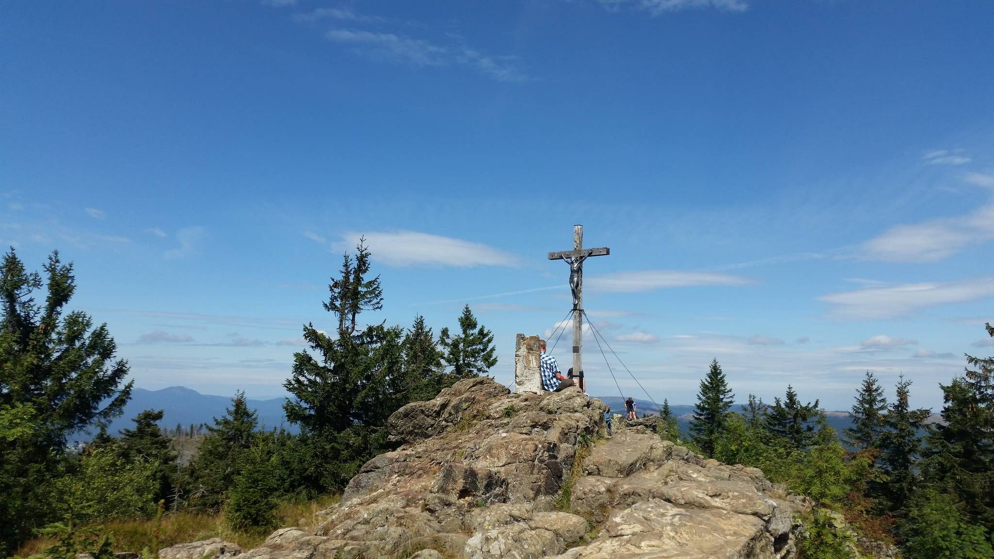
Eight thousand meter high mountains in the Bavarian Forest
Traffic-free bike rides around Mauther Forst
Traffic-free bike rides around Mauther Forst
Other adventures around Mauther Forst


Tips from the Community

Nice, steady climb. At the top you have a beautiful view. Very little traffic.
0
0
Beautiful area, also very beautiful to look at in the snow in winter.
0
0

The Schönanger steam locomotive is a nostalgic photo opportunity: the old engine is a reminder of the time when wood and glass shaped the region. A surprising moment by the roadside that hardly any cyclist forgets.
0
0
Grafenau, a lively small town on the Ohe River. Grafenau is a vibrant hub for your tour: cafés, shops, beer gardens around the town square and train station, and the town park offer plenty of opportunities for a relaxing break. If you fancy a change of pace from nature during your tour, hop off your bike here for a bit. www.grafenau.de
0
0
At the Hoamat inn, you'll find hearty, traditional fare – along with beers from the Hutthurm family brewery, which are just what you need after the climb we've just completed. www.hoamat-wirtshaus.de
0
0
Grafenau is a vibrant hub for your tour: cafés, shops, beer gardens around the town square and train station, and the town park offer plenty of opportunities for a relaxing break. If you're looking for a bit of urban variety amidst your nature tour, take a short break here. www.grafenau.de
0
0

On the main street in Grafenau, southeast of the pilgrimage church, stands this remarkable memorial commemorating the victims of the following wars in this region: 1870/71: 8 war victims WWI: 105 war victims WWI: 269 war victims It is important that these terrible wartime events are remembered here at the church so that they are not forgotten and, hopefully, never repeated. https://warvictims.de/Denkmale/Grafenau
2
0

Spacious free parking, good starting point for hikes and tours.
0
0
Frequently Asked Questions
What kind of terrain can I expect on the no-traffic road cycling routes in Mauther Forst?
The Mauther Forst region, part of the Bavarian Forest National Park, features a low mountain range landscape. This means you'll encounter significant elevation changes and dense forest cover. While the routes are primarily paved for road cycling, be prepared for climbs and descents that offer both a physical challenge and scenic views.
Are there any challenging no-traffic road cycling routes for experienced riders?
Yes, Mauther Forst offers routes suitable for experienced road cyclists seeking a challenge. For instance, the route "Wirtshaus Hoamat – Kumreut Bathing Pond loop from Mauth" is rated difficult, covering over 61 km with more than 1170 meters of elevation gain. These routes provide demanding climbs and rewarding descents through the forest.
What natural attractions can I see along the no-traffic road cycling routes?
You can discover several natural highlights while cycling in Mauther Forst. The historic Martinsklause Reservoir, originally built for wood transport, is a serene spot. The region is also home to prominent peaks like Lusen Summit and Großer Rachel Summit, which offer extensive views, though reaching their very tops might require a short hike from the nearest cycling accessible point.
Are there any cultural points of interest accessible by road bike in the area?
Yes, beyond the natural beauty, you can cycle past cultural sites such as the Glas Ark in Bavarian Forest National Park. This art installation symbolizes the region's rich glass-making tradition and provides an interesting stop along your ride.
What is the best time of year for no-traffic road cycling in Mauther Forst?
The best time for road cycling in Mauther Forst is typically from late spring through early autumn (May to October). During these months, the weather is generally milder, and the forest roads are clear of snow and ice, offering optimal conditions for cycling through the diverse landscapes.
Are there any moderate no-traffic road cycling routes suitable for intermediate riders?
Yes, Mauther Forst offers several moderate routes. For example, the "Grafenau Town Square – Steam Engine by the Road loop from Neuschönau" is a moderate 41.5 km route with over 760 meters of elevation gain, providing a balanced challenge for intermediate cyclists. Another option is the "Mauth bathing lake – National Park - Lusen Center loop from Annathaler Wald", which is 45.4 km long with 728 meters of ascent.
What do other road cyclists say about the no-traffic routes in Mauther Forst?
The komoot community highly rates the road cycling experience in Mauther Forst, with an average score of 4.7 out of 5 stars. Cyclists frequently praise the quiet, car-free roads, the challenging climbs, and the stunning natural scenery of the Bavarian Forest National Park.
Are there any circular no-traffic road cycling routes in Mauther Forst?
Yes, all the no-traffic road cycling routes featured in this guide are designed as loops, allowing you to start and finish at the same point. This makes planning your ride convenient, as you won't need to arrange for a return journey. An example is the "Chapel With a View – Grafenau Town Square loop from Sankt Oswald", which covers over 40 km.
Is public transport available to reach the starting points of these routes?
While specific public transport connections directly to every trailhead can vary, the Mauther Forst area is part of the Bavarian Forest National Park, which has some regional bus services. It's advisable to check local bus schedules for connections to towns like Mauth or Neuschönau, which serve as starting points for some routes, to see if they accommodate bicycles.
Where can I find parking for my car when cycling these no-traffic routes?
Parking is generally available in the towns and villages surrounding Mauther Forst, such as Mauth, Neuschönau, or Sankt Oswald, which are common starting points for these routes. Look for designated parking areas, often near tourist information centers or public facilities, before embarking on your ride.
Are there any specific regulations or permits required for cycling in the Bavarian Forest National Park?
Generally, cycling on designated paths within the Bavarian Forest National Park is permitted without special permits. However, it's always recommended to stay on marked trails and respect national park rules, which aim to protect the natural environment. For specific details, you can consult the Bavarian Forest National Park's official website.
Most popular routes around Mauther Forst
Most popular attractions around Mauther Forst

Get inspired with the komoot mobile app


Explore more
Browse the best Road cycling routes in other regions.
