The best hikes from bus stations around Rendsburg
4.6
(4862)
17,648
hikers
105
hikes
Bus station hiking trails around Rendsburg offer access to a diverse landscape characterized by significant waterways, meadows, forests, and lowlands. The region is situated on the Kiel Canal and the Eider River, providing numerous routes along their banks. Gentle hills, serene lakes, and protected natural areas like the Obere Eider region and Nature Park Westensee define the terrain. This area features a mix of near-natural habitats, including rivers, moors, and canals, suitable for various hiking experiences.
Best bus station hiking…
Last updated: August 21, 2026
4.7
(58)
249
hikers
8.33km
02:07
20m
20m
Moderate hike. Good fitness required. Easily-accessible paths. Suitable for all skill levels.
4.5
(28)
73
hikers
23.9km
06:01
20m
20m
Hard hike. Very good fitness required. Easily-accessible paths. Suitable for all skill levels.

Sign up for free
4.3
(9)
63
hikers
3.08km
00:47
10m
10m
Easy hike. Great for any fitness level. Easily-accessible paths. Suitable for all skill levels.
4.9
(7)
21
hikers
Easy hike. Great for any fitness level. Easily-accessible paths. Suitable for all skill levels.
4.8
(31)
114
hikers
Moderate hike. Good fitness required. Easily-accessible paths. Suitable for all skill levels.
Get access to more routes and recommendations from other explorers.
Sign up for free
Already have an account?
Our route recommendations are based on thousands of hikes, rides, and runs completed by other people on komoot.
Start today with a free account
Your next adventure awaits.
Login or Signup
Popular around Rendsburg
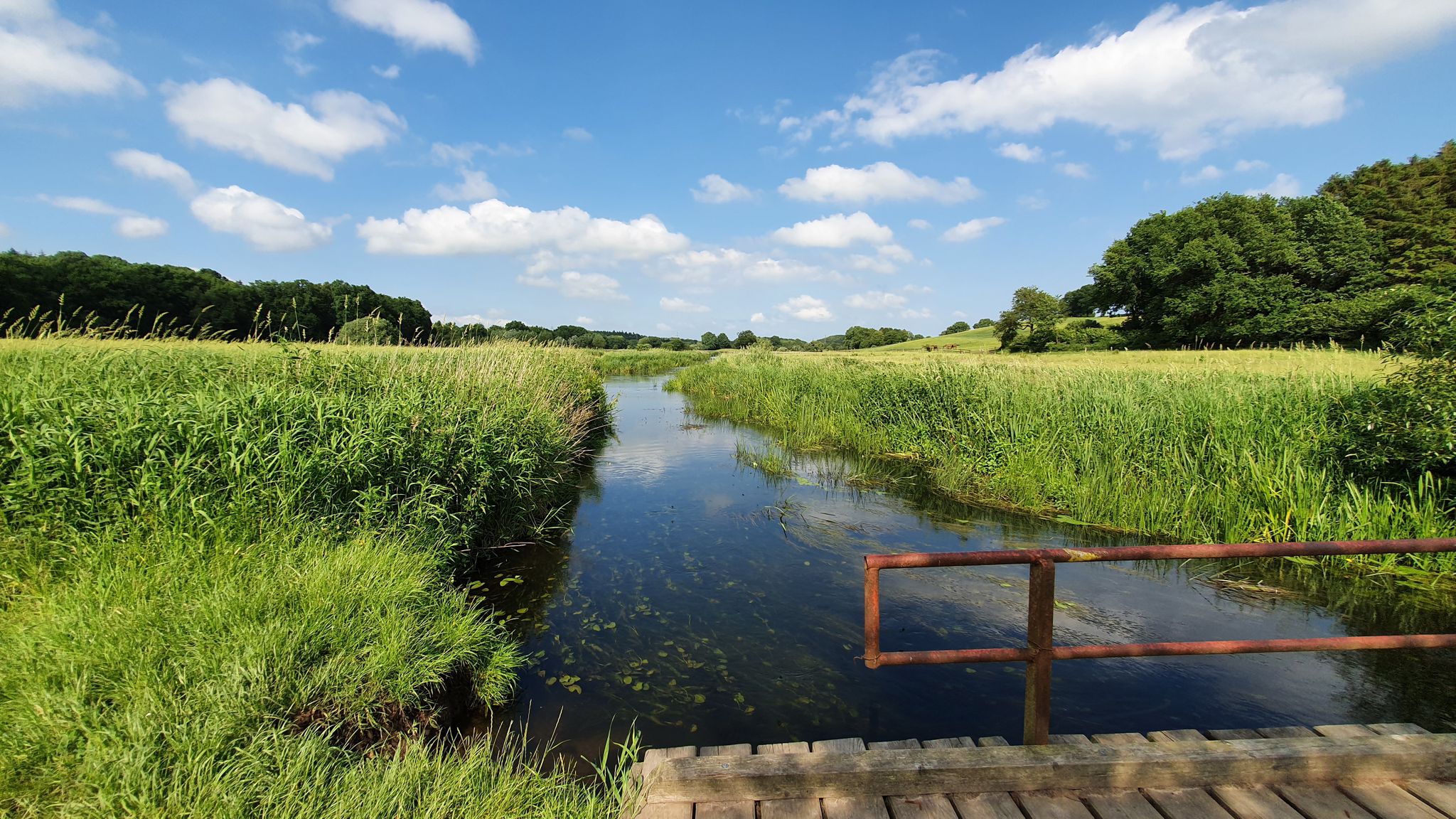
North-Baltic Sea Hiking Trail – Between the Seas

Naples to North Cape — Two friends, one purpose and many scoops of ice-cream
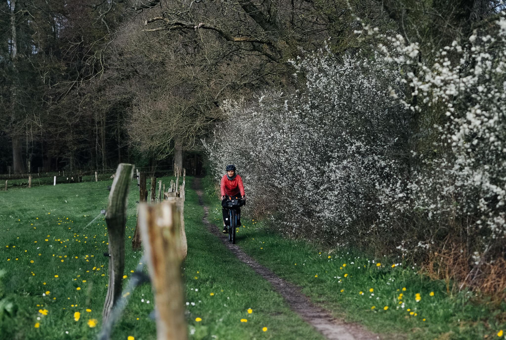
Cycling with Fräulein Draußen on the Ochsenweg
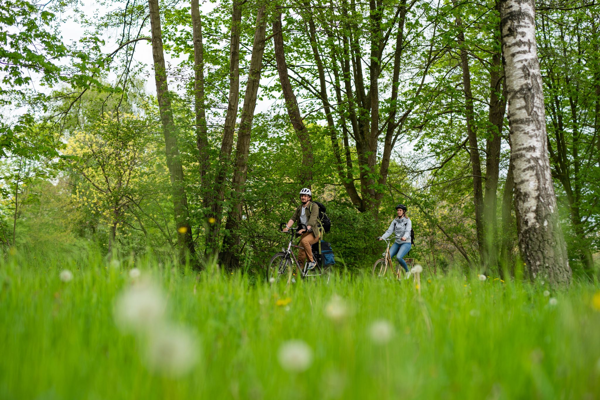
Between nature and history – Ochsenweg cycle path
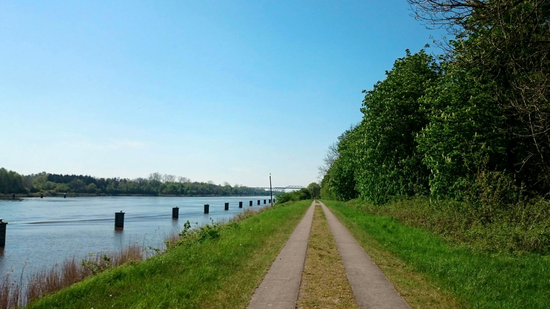
Cycling along picturesque waterways – the Kiel Canal Route
Mini-Radreiseregion Rendsburg
Other adventures around Rendsburg


Tips from the Community


The moor covers an area of approx. 379 hectares. Peat extraction and drainage have significantly altered the moor. However, not only the extraction of peat for fuel caused large parts of the moorland to disappear, but also its conversion into arable land and grassland. Maintenance measures for rewetting have been carried out since 1980. For this purpose, the drainage ditches in the moor were closed.
4
0

My group passed by here on our "Seelust: Bike Tour to the Kiel Canal" tour. The tour and the entire cycling trip, of which it's a part, are fantastic. We made it through safely.
0
0


The Kiel Canal has a special feature here: it is not oriented west-east like the other sections, but north-south. This gives it the advantage of catching the full west sun in the afternoon.
2
0
The Schülper Weiche is a canal widening where ships can avoid each other. Hence the name. The widening can be identified by the bollards in the water.
2
0
The 1.5 km long trail follows the former Rendsburg-Fockbek railway line. The trail is a bit boring, with a compacted gravel-sand mix. To the left and right are properties or tall hedges. At the ends of the trail, relics from the railway era, such as the Fockbek station house and a buffer stop on the tracks, remind us of the trail's former use. But why just "Cultural Monuments Trail"?
2
0
Frequently Asked Questions
How many bus station hiking trails are available around Rendsburg?
There are over 120 hiking trails around Rendsburg that are easily accessible from bus stations. These routes offer a variety of experiences, from leisurely strolls to more challenging treks, all designed for convenient public transport access.
What is the general difficulty level of bus-accessible hikes in Rendsburg?
The majority of bus-accessible hikes in Rendsburg are considered easy, with over 100 routes falling into this category. There are also 17 moderate trails and a single difficult route for those seeking more of a challenge. This variety ensures options for all fitness levels.
What kind of landscapes can I expect on bus-accessible hikes near Rendsburg?
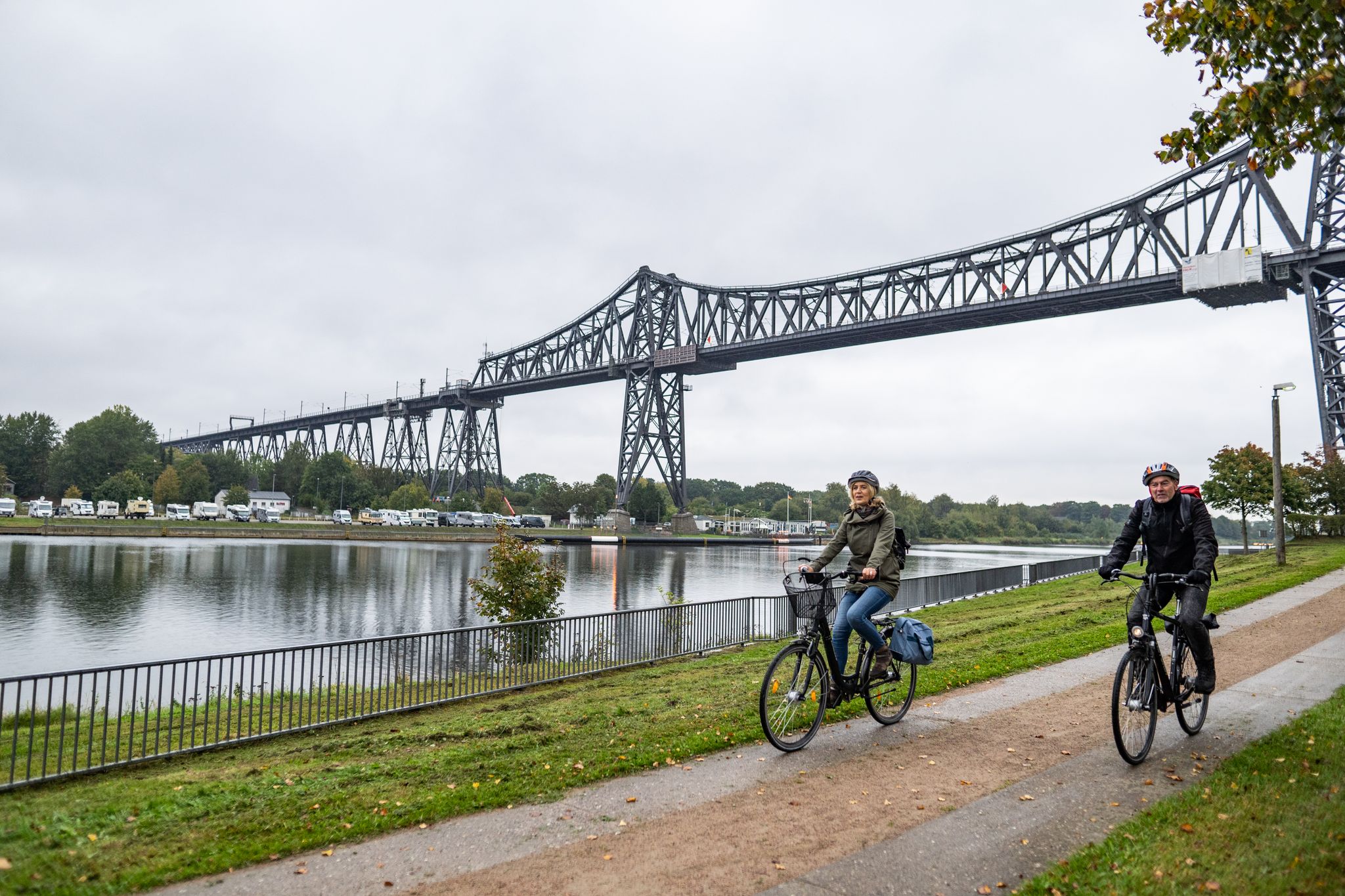
Hikes accessible from Rendsburg's bus stations offer a diverse range of landscapes. You can expect picturesque routes along the Eider River and the Kiel Canal, with views of the impressive Rendsburg High Bridge. The region also features meadows, forests, and moors, particularly in areas like the Obere Eider and Nature Park Westensee, providing rich natural environments.
Are there any circular walks accessible from Rendsburg bus stations?
Yes, many of the bus-accessible routes around Rendsburg are circular walks, perfect for returning to your starting point without retracing your steps. An example is the Eider Bridge, Rendsburg – Eider Riverside Path loop, which offers a pleasant, easy experience along the river.
What natural attractions can I explore on bus-accessible hikes near Rendsburg?
Many bus-accessible hikes will lead you to beautiful natural attractions. You can discover serene lakes like Hohner Lake and Rümland Pond. The region also features unique natural monuments such as the Sorgwohld Inland Dunes and the Wildes Moor Viewpoint, offering insights into the local ecology.
Are there opportunities for wildlife spotting on these trails?
Absolutely. The Rendsburg region, especially areas like the Obere Eider and the Eider-Treene-Sorge Lowland, is known for its undisturbed natural environment. These areas are part of the European ecological network "NATURA 2000" and provide ideal habitats for rare animal and plant species, making them excellent for wildlife observation.
Are the bus station hiking trails in Rendsburg suitable for families?
Many of the bus-accessible trails around Rendsburg are well-suited for families, particularly the numerous easy routes. These often feature gentle terrain and shorter distances, such as the Eider River – Bench With a View of the Lake loop, which is under 4 km and offers pleasant views.
Can I bring my dog on hikes accessible by bus in Rendsburg?
Generally, dogs are welcome on most hiking trails in the Rendsburg area. However, it's always advisable to keep them on a leash, especially in nature protection areas or near livestock. Public transport rules for dogs may vary, so check with the local bus operator before your trip.
Are there places to rest or get refreshments along the bus-accessible trails?
Yes, many trails in the Rendsburg region feature cozy huts and benches where you can rest and enjoy the scenery. Some routes, particularly those closer to towns or popular attractions, may also have cafes or restaurants nearby. For example, the Rammsee shelter is a highlight you might encounter.
What do other hikers say about the bus-accessible trails in Rendsburg?
The komoot community highly rates the hiking experiences around Rendsburg, with an average score of 4.54 stars from over 4,400 ratings. Hikers often praise the region's diverse landscapes, the tranquility of the natural areas, and the convenience of accessing trails via public transport.
When is the best time of year to hike around Rendsburg using public transport?
The Rendsburg region offers enjoyable hiking experiences throughout the year. Spring brings blooming flora, summer provides lush green landscapes, and autumn showcases vibrant colors. Even winter can be beautiful for a crisp walk, especially along the frozen waterways. The choice depends on your preference for weather and scenery.
Can I find half-day hikes easily accessible by bus in Rendsburg?
Yes, Rendsburg offers numerous half-day hiking options that are perfect for a shorter outing and easily reachable by bus. Many of the easy and moderate routes, such as the Garrison Pharmacy Rendsburg – Rendsburg City Theatre loop, can be completed within a few hours, allowing you to explore without committing to a full day.
Most popular routes around Rendsburg
Most popular attractions around Rendsburg

Get inspired with the komoot mobile app


Explore more
Browse the best Hikes in other regions.
