The best hikes from bus stations around Kelkheim
4.6
(3745)
15,845
hikers
111
hikes
Bus station hiking trails around Kelkheim offer access to the diverse landscapes of the Taunus Mountains. The region features lush forests, rolling hills, and open meadows, providing varied terrain for outdoor activities. Hikers can experience serene forest paths and panoramic views of the surrounding valleys and the Rhine-Main region. The area's geographical location provides vistas towards the Taunus mountains and the Rhine Valley.
Best bus station hiking trails around Kelkheim
- The most popular bus station hiking route is Staufen Summit…
Last updated: August 18, 2026
4.8
(831)
2,349
hikers
Moderate hike. Good fitness required. Mostly accessible paths. Sure-footedness required.
4.8
(90)
375
hikers
Moderate hike. Good fitness required. Mostly accessible paths. Sure-footedness required.

Sign up for free
4.5
(73)
300
hikers
Moderate hike. Good fitness required. Easily-accessible paths. Suitable for all skill levels.
4.5
(68)
223
hikers
14.9km
04:19
370m
370m
Hard hike. Good fitness required. Sure-footedness, sturdy shoes and alpine experience required.
4.3
(53)
235
hikers
9.32km
02:38
200m
200m
Moderate hike. Good fitness required. Easily-accessible paths. Suitable for all skill levels.
Get access to more routes and recommendations from other explorers.
Sign up for free
Already have an account?
Our route recommendations are based on thousands of hikes, rides, and runs completed by other people on komoot.
Start today with a free account
Your next adventure awaits.
Login or Signup
Popular around Kelkheim

Delightfully scenic hiking in the Taunus range
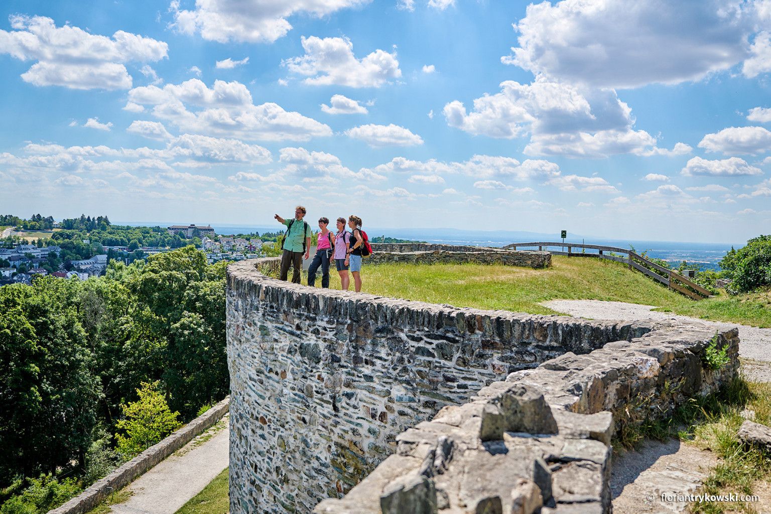
Experience nature and culture — hiking in Germany’s Taunus region
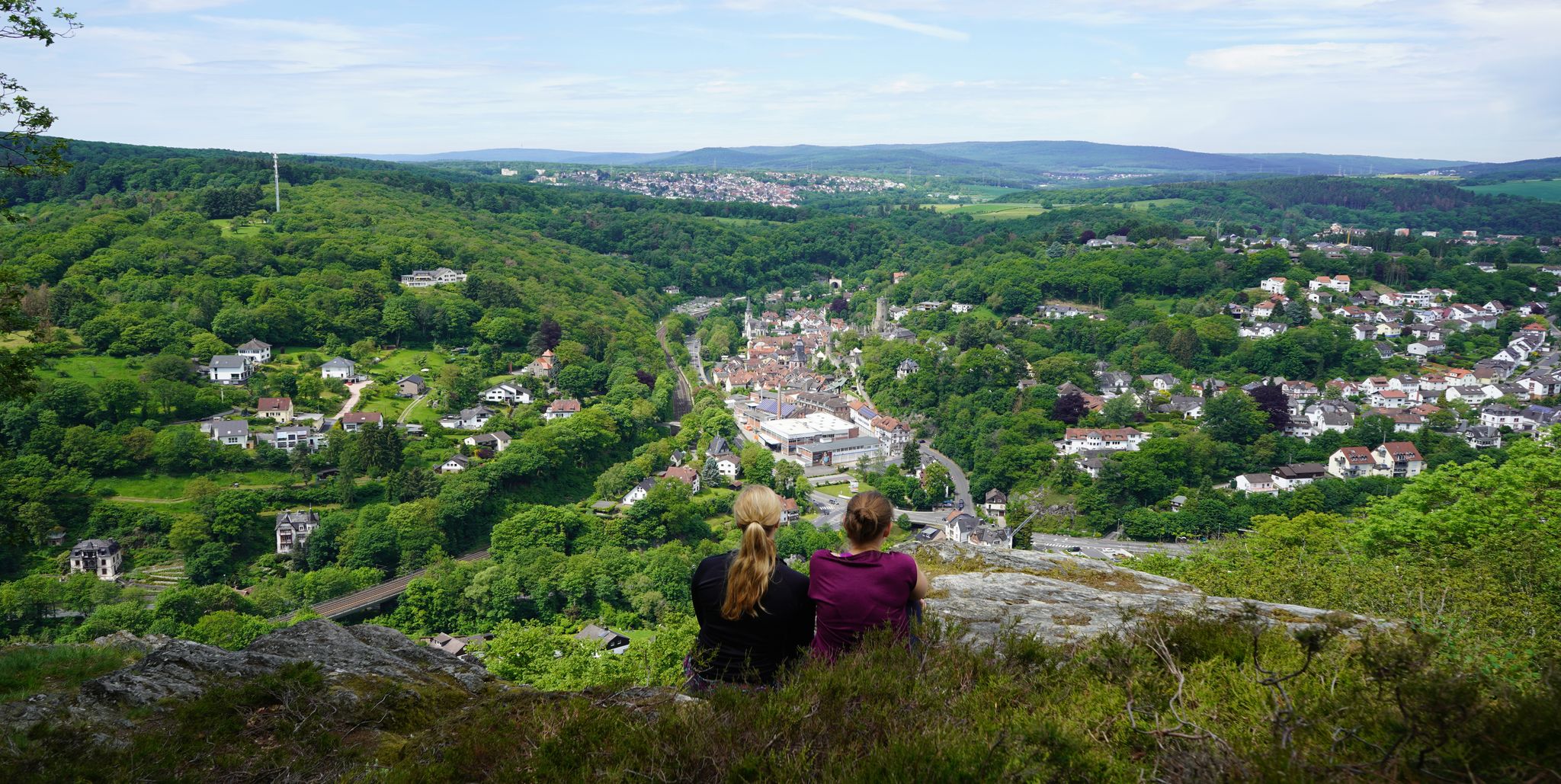
Exploring nature — hikes in Germany’s Taunus Mountains
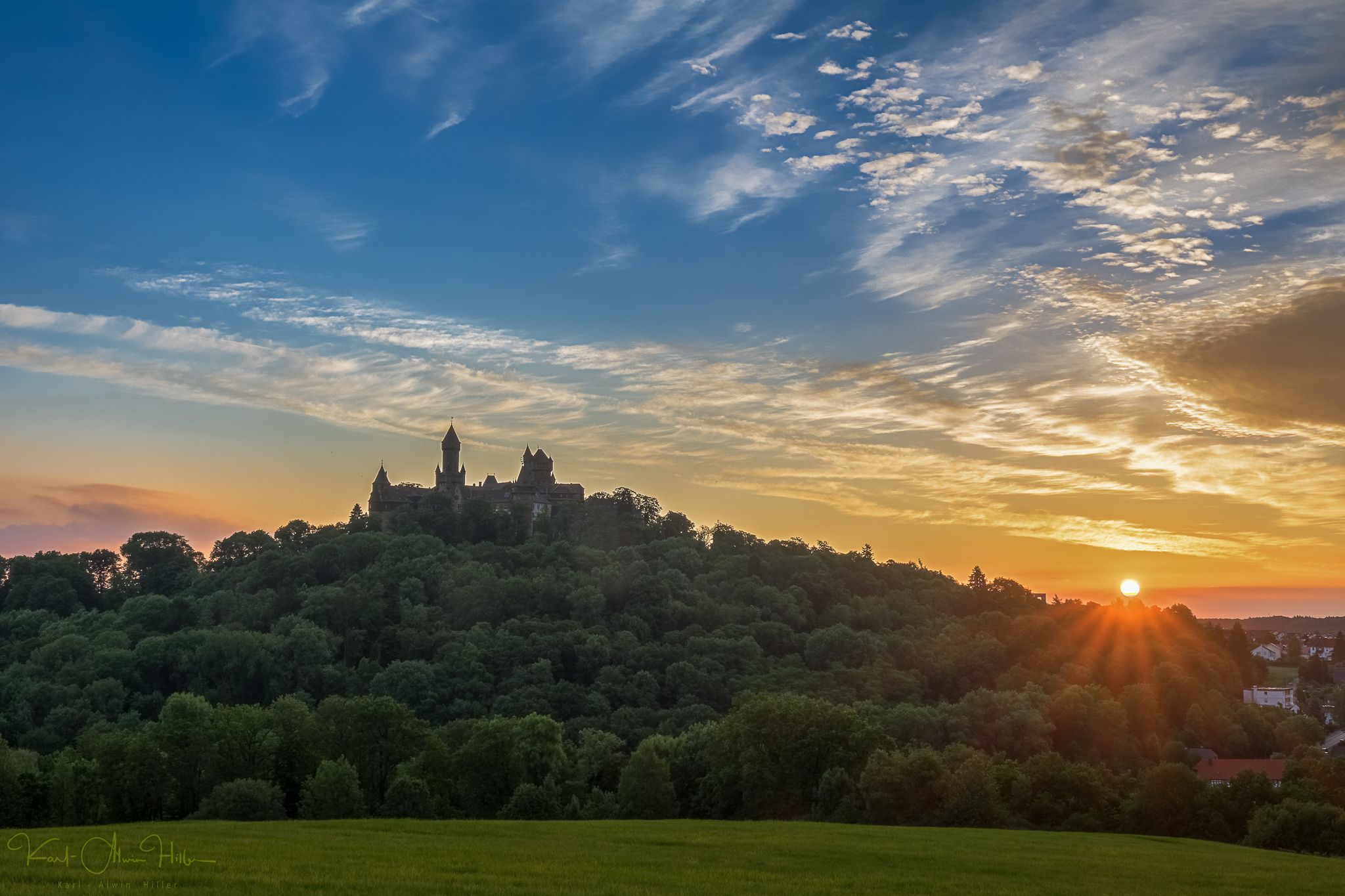
A journey through time – the most beautiful routes in the Taunus Nature Park
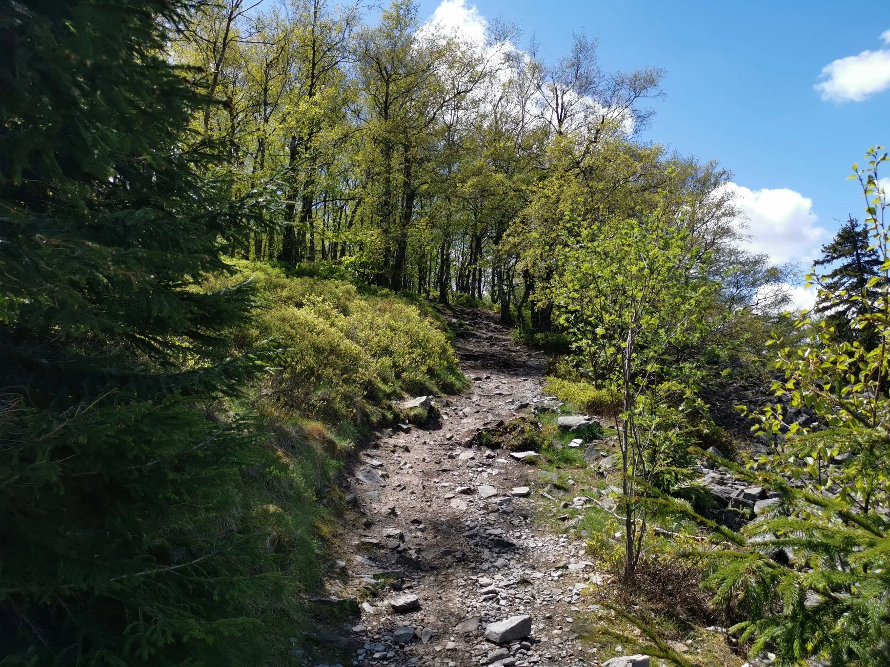
Autumn hikes around Frankfurt
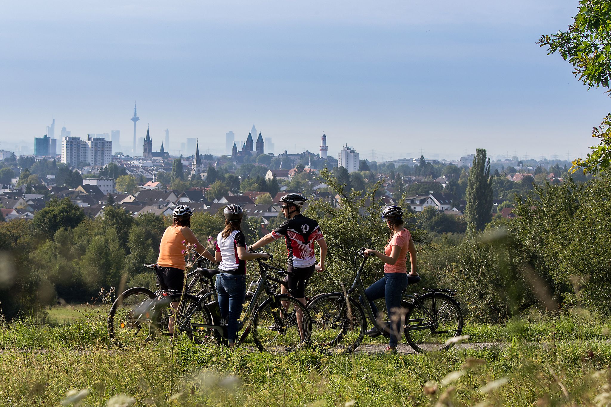
From safari to world heritage — cycling tours in the Taunus region
Stadt aus, Natur an im Rhein-Main-Gebiet – Mit Magnesium-Diasporal®
Other adventures around Kelkheim


Tips from the Community

Beautiful path! Gladly again!
0
0

Taunus quartzite is an extremely hard and weather-resistant rock that formed around 400 million years ago in the Lower Devonian period from sand deposits. Because it is significantly more resistant than the surrounding slate, it forms the "backbone" of the Taunus today and shapes the highest peaks of the low mountain range with striking rock formations such as the Eschbacher Klippen. The mostly light gray to whitish rock is used today primarily in road construction, as railway ballast, or for the glass industry due to its robustness.
5
0
11
1
The listed chapel, a landmark of Hofheim, is visible from afar (e.g., from the A66 motorway). Its impressive history was commemorated in 2016 with an exhibition and a book at the Hofheim City Museum, marking the 350th anniversary of the vow made there. The quotations in this text are taken from that book. Following the horrors of the Thirty Years' War (1618-1648), another catastrophe claimed victims among the population: the plague. In 1665, it was brought up the Rhine from Cologne to Mainz and spread – primarily via market ships – to Frankfurt and, from 1666 onward, to Flörsheim. Soon, other towns in the Main Valley were also affected. Hofheim was an exception. After the threat became tangible, particularly due to plague deaths in Zeilsheim and Flörsheim, Pastor Johannes Gleidner led the people of Hofheim in a procession to the "Rabberg" hill on June 3, 1666 (Ascension Day). As one of his later successors, Antonius Hilf, described in 1864, the procession, accompanied by penitential hymns, proceeded "up the vine-covered slope." Young men carried banners, the cross, and the canopy, beneath which four virgins carried an image of Mary. At the top, Gleidner asked if they would like to name the mountain "Carmelberg" (Carmel Mountain), build a chapel there, and vow to "make several pilgrimages there each year." Afterward, the people "fell to their knees, deeply moved," and made the vow—at which point, at that very moment, the bells of the parish church below began to ring. When further plague victims appeared in Wicker, Weilbach, Eppstein, Fischbach, Hochheim, Flörsheim, Eddersheim, Castel, Mainz, Frankfurt, and Zeilsheim, Gleidner led the communities of Hofheim and Marxheim up the mountain again on July 2, 1666 (the Feast of the Visitation). Pilgrims from surrounding villages joined the pilgrimage, and Gleidner renewed "the vow, made known to him by everyone, that if God would avert the afflictions of the plague, he would build a chapel on this site to His glory and to the praise of the Blessed Virgin Mary." Hofheim was spared from the plague, and in May 1667, work began on preparing the timber for the half-timbered structure. The chapel was consecrated on September 29th. One hundred years later, the church had become too small, and a new, larger one had to be built. By this time, a "pilgrimage tourism" had developed around the chapel, which was also a "thorn in the side" of the local priest. The new stone building was more than twice the size of the old chapel: 27.90 meters long, 12.60 meters wide, and 13.20 meters high. A gallery provided additional seating capacity. From 1774 onwards, silent prayer services were permitted, as the chapel was not consecrated until ten years later (1784). ```
12
1
Six thousand years ago, Hofheim was a center of the Michelsberg culture. And in a way, Hofheim is still a center today: The most important researchers in this field from all over Europe are currently gathered here. The symposium "The Hofheim Experiment: Lifeworlds and Dynamics of the Michelsberg Culture" addresses various aspects – from climate to archaeogenetics, from settlement structures to economic systems.
10
0
Frequently Asked Questions
How many bus-accessible hiking trails are available around Kelkheim?
There are over 110 bus-accessible hiking trails around Kelkheim, catering to various difficulty levels. You'll find a wide selection, from easy walks to more challenging routes through the Taunus mountains.
Are there bus-accessible hikes with significant elevation gain around Kelkheim?
Yes, the Taunus region offers routes with notable elevation changes. For example, the Staufen Summit Cairn – Emperor's Temple, Eppstein loop from Kelkheim (Taunus) is a moderate hike with over 400 meters of ascent, providing rewarding views of the surrounding valleys and the broader Rhine-Main region.
Are there family-friendly hiking trails accessible by bus in Kelkheim?
Yes, Kelkheim offers several family-friendly options. The region research mentions the Kinderwaldpfad, a short circular trail with playful nature exploration stations. While specific bus stops for this trail aren't detailed here, many easy routes are available, such as those around Rettershof, which are generally accessible and suitable for all skill levels.
Can I find circular hiking routes that start and end at a bus station in Kelkheim?
Many of the routes in this guide are designed as loops, allowing you to start and finish at the same bus stop. For instance, the Pavilion near Großer Mannstein – Staufen Summit Cairn loop from Kelkheim (Taunus) is a moderate circular hike that offers diverse landscapes.
What kind of natural features or landmarks can I expect to see on these bus-accessible trails?
The trails around Kelkheim offer diverse natural beauty and historical sites. You can explore lush forests, rolling hills, and open meadows with panoramic views. Notable features include the Staufen Summit Cairn, and historical sites like the UNESCO World Heritage Site Limes mentioned in the Taunus Schinderhannes Trail. You might also encounter highlights like the Billtal Waterfall or the Woog Valley.
Are there any waterfalls accessible near the bus station hiking trails?
Yes, the area around Kelkheim features some beautiful waterfalls. You can find the Billtal Waterfall and the Waterfall on the Billtalhöhe Descent. These natural attractions can be incorporated into your hiking plans, often found along trails that are accessible by public transport.
What do other hikers enjoy most about hiking in Kelkheim?
The komoot community highly rates the hiking experiences around Kelkheim, with an average score of 4.57 stars from over 3,500 ratings. Hikers often praise the diverse landscapes, from serene forest trails to panoramic views, and the accessibility of many routes via public transport.
What is the best time of year to go hiking from bus stations in Kelkheim?
The best seasons for hiking in Kelkheim are spring and autumn. During these times, nature is at its most vibrant, with blooming flowers in spring and colorful trees in autumn, combined with mild and pleasant weather conditions ideal for exploring the trails.
Are there any moderate difficulty bus-accessible hikes that offer good views?
Certainly. The Meisterturm, Hofheim – Hofheim Hill Chapel loop from Kelkheim (Taunus) is a moderate route that provides excellent views. The region is known for its panoramic vistas, especially from higher points in the Taunus mountains.
Can I find trails that lead to interesting historical sites or cultural points of interest?
Yes, the region is rich in history. The Keltenweg, for example, leads along historic Celtic settlement sites. You can also find highlights like the Medieval Glassworks at Emsbach Gorge, offering a glimpse into the area's past while enjoying a hike.
Are there any easy bus-accessible hikes suitable for beginners?
Yes, there are many easy routes available. Over 60 of the bus-accessible trails are rated as easy. The Rettershof area, for instance, offers various loops with accessible paths suitable for all skill levels, perfect for beginners looking to enjoy nature without significant challenges.
Most popular routes around Kelkheim
Most popular attractions around Kelkheim

Get inspired with the komoot mobile app


Explore more
Browse the best Hikes in other regions.
