The best road cycling routes around Kelkheim
4.5
(1457)
26,779
riders
25
rides
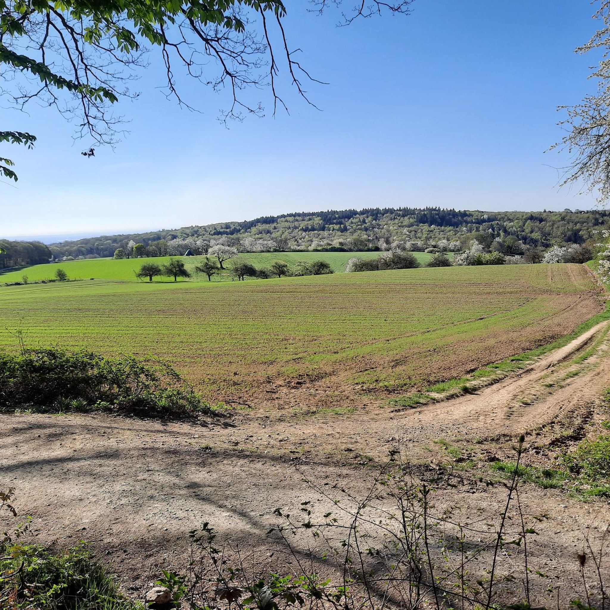
Road cycling routes around Kelkheim offer diverse terrain at the foot of the Taunus Mountains, providing a varied landscape for cyclists. The region features a mix of woodlands, parks, and meadows, with significant elevation changes as routes ascend into the Taunus hills. Cyclists can find both challenging climbs and more comfortable paths, including those along river valleys. This area is characterized by its hilly countryside and access to the wider Main-Taunus-Kreis and Hochtaunuskreis regions.
Best road cycling routes around Kelkheim
…Last updated: October 18, 2026
4.7
(34)
530
riders
54.5km
02:51
960m
960m
Hard road ride. Very good fitness required. Mostly well-paved surfaces and easy to ride.
4.3
(24)
215
riders
44.4km
01:58
190m
190m
Moderate road ride. Great for any fitness level. Some segments of this route may be unpaved and difficult to ride.

4.7
(6)
83
riders
Moderate road ride. Good fitness required. Mostly well-paved surfaces and easy to ride.
5.0
(2)
66
riders
38.4km
01:41
220m
220m
Easy road ride. Great for any fitness level. Mostly well-paved surfaces and easy to ride.
3.5
(2)
58
riders
Easy road ride. Great for any fitness level. Mostly well-paved surfaces and easy to ride.
Get access to more routes and recommendations from other explorers.
Already have an account?
Our route recommendations are based on thousands of hikes, rides, and runs completed by other people on komoot.
Start today with a free account
Your next adventure awaits.
Popular around Kelkheim

Delightfully scenic hiking in the Taunus range
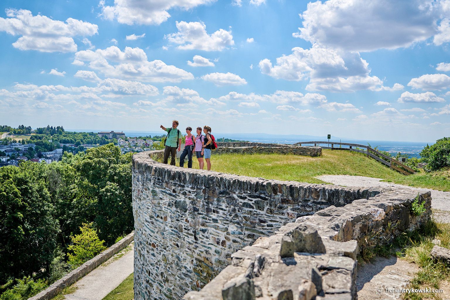
Experience nature and culture — hiking in Germany’s Taunus region
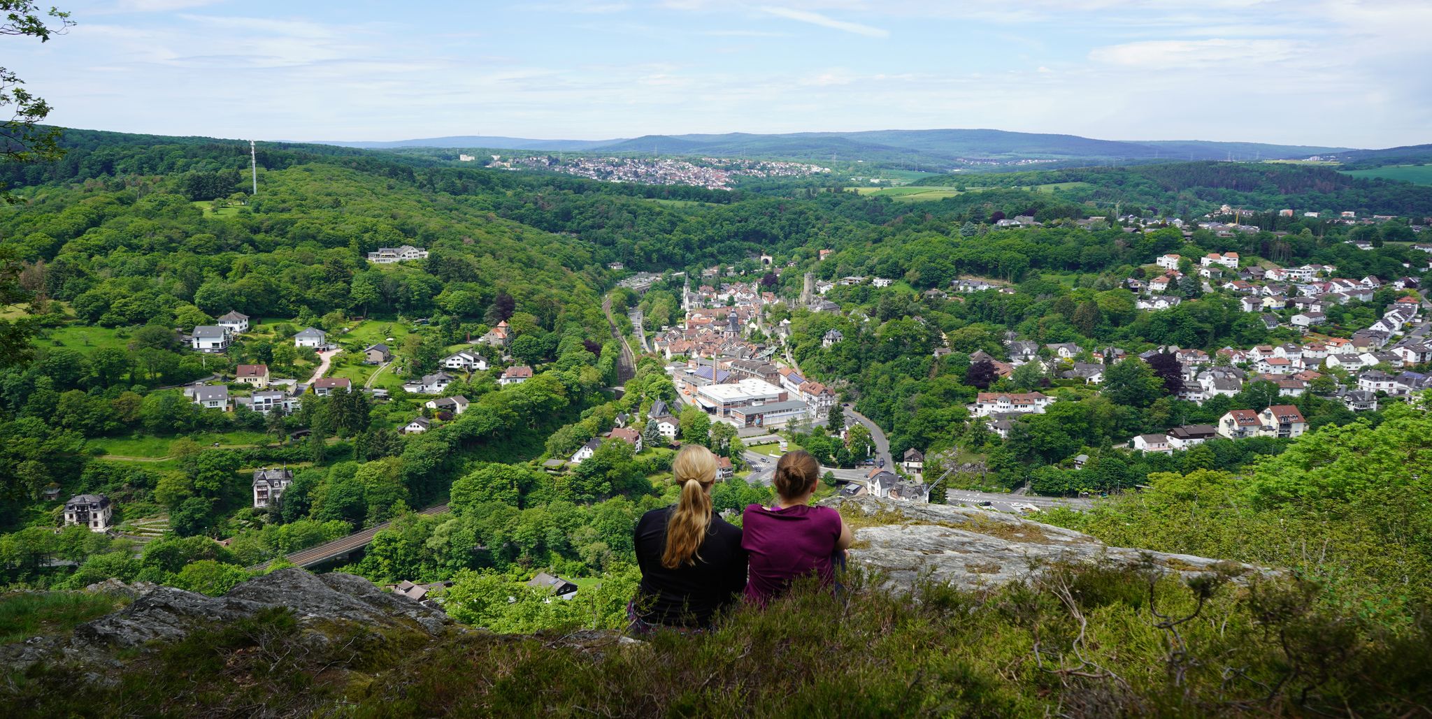
Exploring nature — hikes in Germany’s Taunus Mountains
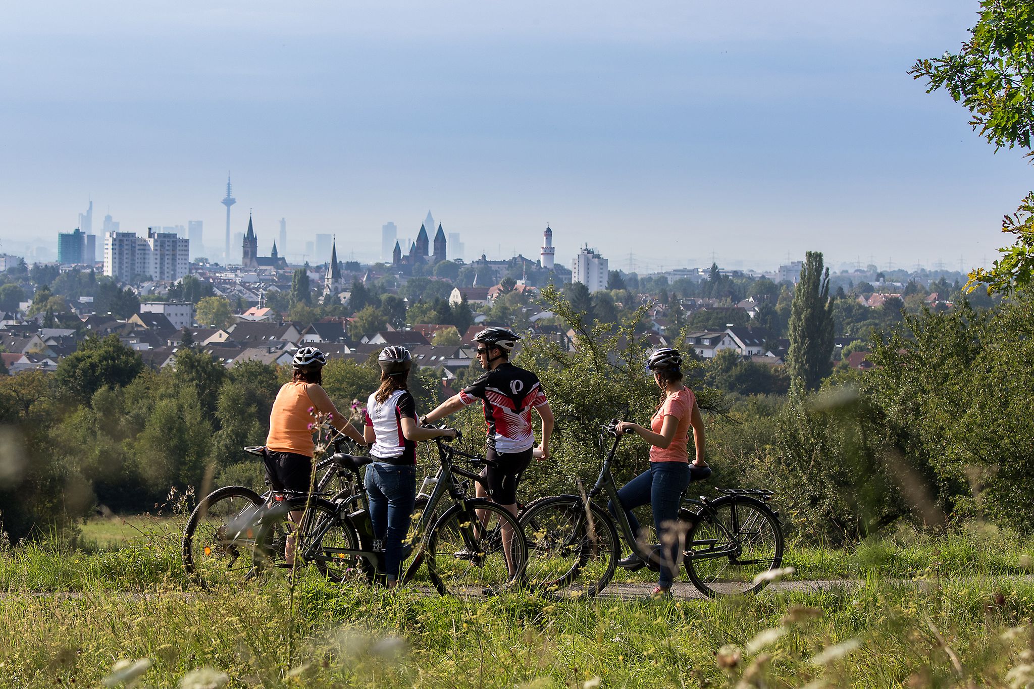
From safari to world heritage — cycling tours in the Taunus region
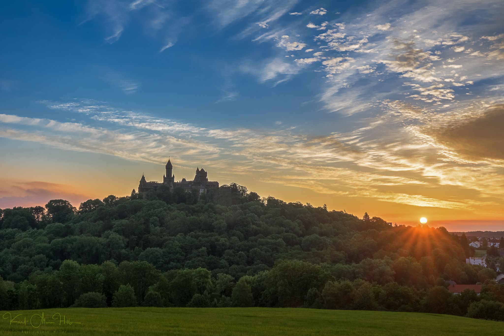
A journey through time – the most beautiful routes in the Taunus Nature Park
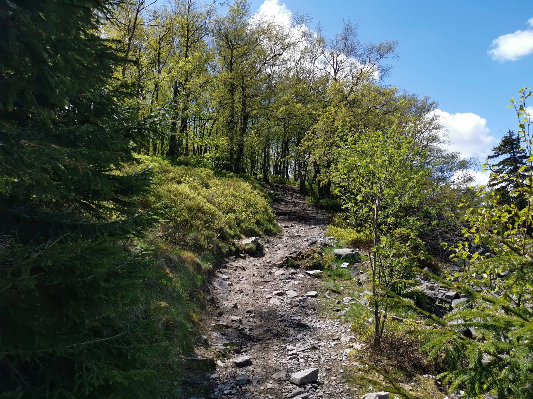
Autumn hikes around Frankfurt
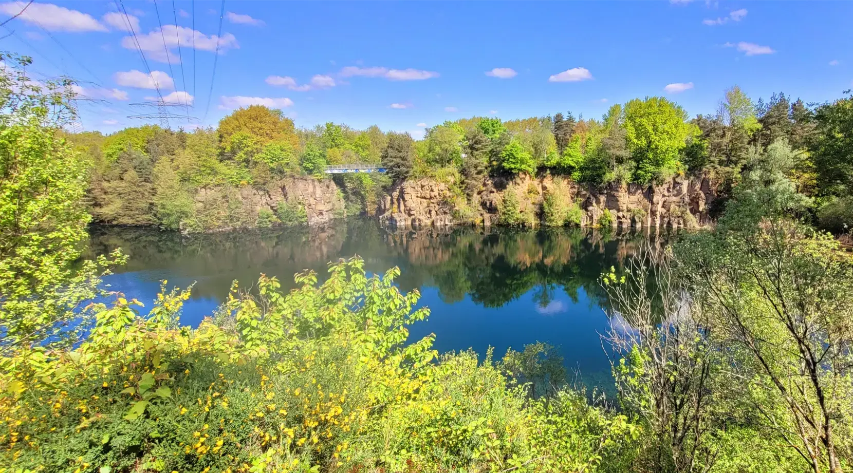
Stadt aus, Natur an im Rhein-Main-Gebiet – Mit Magnesium-Diasporal®
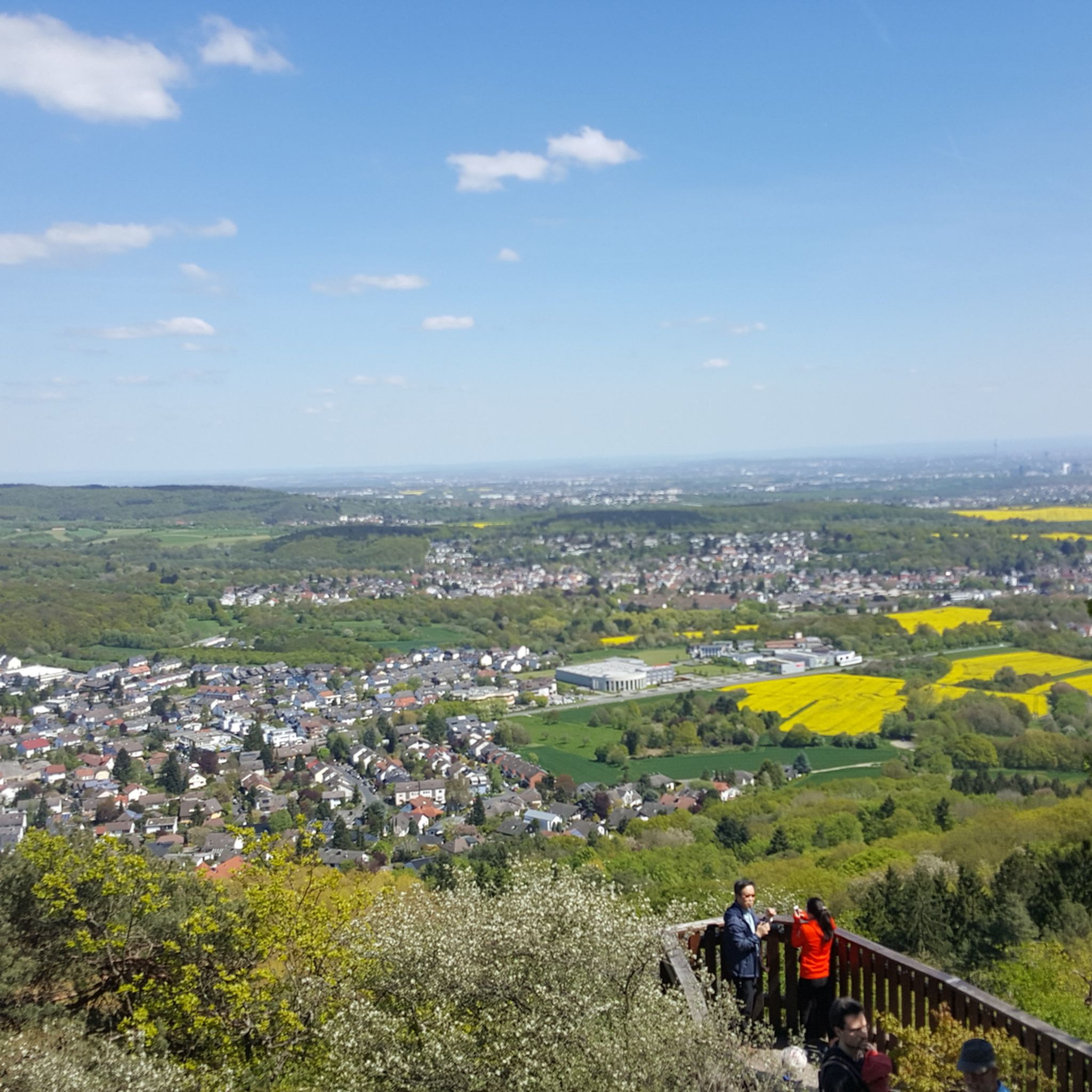
Hiking around Kelkheim
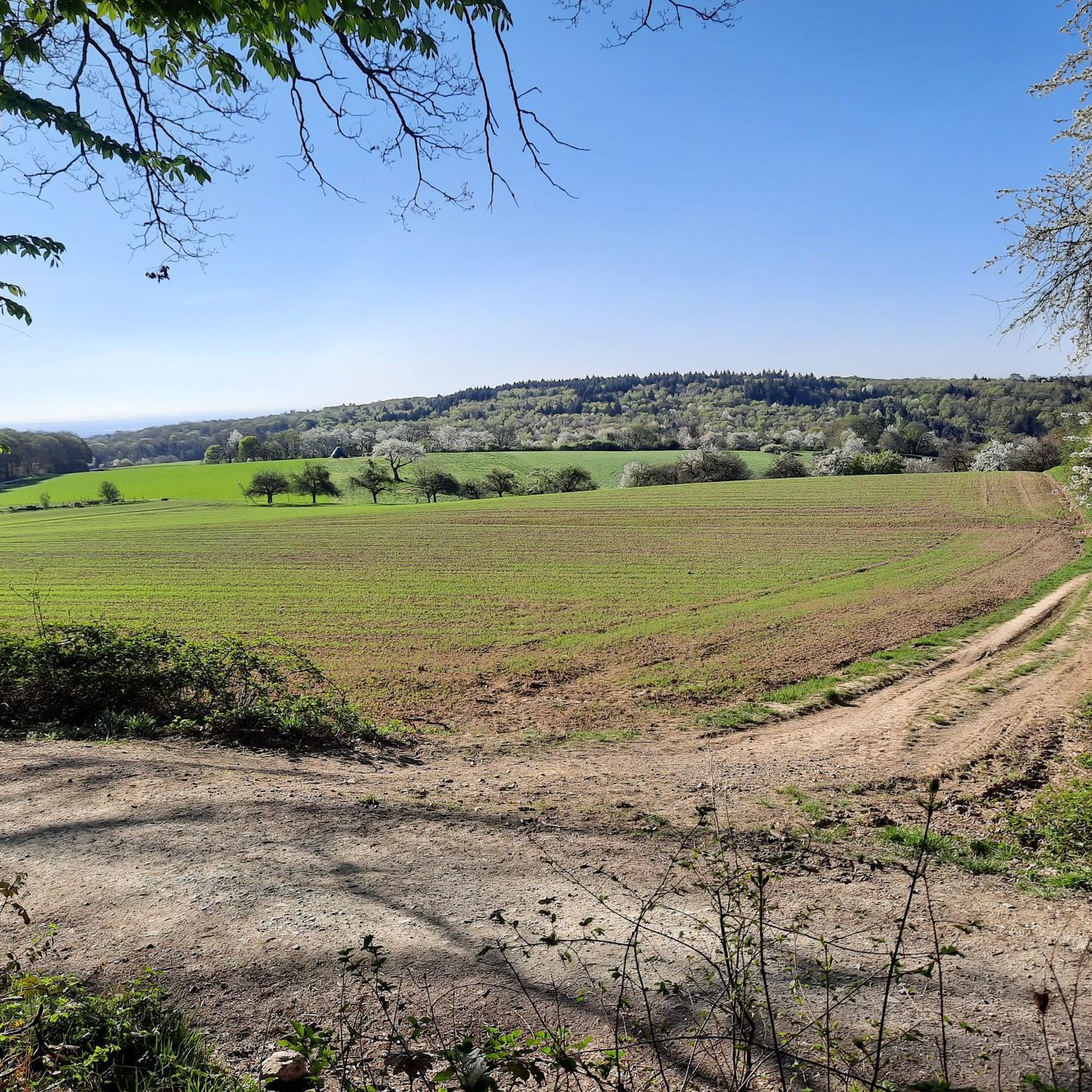
Cycling around Kelkheim
Running Trails around Kelkheim
Other adventures around Kelkheim


Tips from the Community

The Old Town Hall, which was built between 1921 and 1924 and extensively renovated in 2014 as part of a large-scale village renewal project, connects these private monuments into a harmonious historical marketplace. A very central component of the town hall is the integrated, historical "Backes" (bakehouse), which is maintained by the local association for local history and cultural preservation. In addition to this traditional bakery, the town hall building today houses, among other things, the meeting room of the local advisory council, the local history and heritage room, as well as the former weighing room, which has been converted into a modern, barrier-free event space for village community life.
11
0

Beautiful country road where you can also race along (if there is no strong headwind).
0
0
This perspective describes the absolute center of the Hofheim old town at the distinctive Y-junction of the main street. Photographically and architecturally, this is referred to as the classic sightline to the historic ensemble of the Old Town Hall (Hauptstraße 40) and the towering spire of the Catholic parish church of St. Peter and Paul, built in the 15th century. This picturesque location in the pedestrian zone combines the distinctive half-timbering of the town hall, built in 1529, the babbling historic fountain, and the historic backdrop to form one of the most beautiful and most frequently photographed postcard motifs in the entire city.
10
0

Rddersheim station is a good starting/ending point to begin/end a tour to the "Weilbacher Kiesgruben".
1
0

Good starting point for medium-length summit tours
0
0
Here is an interesting information sign Leuna Bridge - View of the industrial park Downstream on the Main, the eastern part of the Höchst Industrial Park can be seen. In the south of the area, which covers over four square kilometers, research and logistics are located, while in the older northern factory there is production, administration, and infrastructure. An important connecting artery is the central factory bridge, which has spanned the Main since 1959. To the right rise the chimneys of the gas power plant completed in 2023. Immediately to the right of the bridge, you will see the fully automated river water plant, which was commissioned in 2023. Leuna Bridge - View of the Höchst district Above the redesigned banks of the Main rises the old town of Höchst. Striking viewpoints are the castle, resting on medieval foundations with its slender, towering keep, the customs tower, and the Bolongaropalast, built in the second half of the 18th century. From the Carolingian era dates the oldest surviving religious building north of the Alps in this completeness, St. Justin's Church, built between 830 and 850.
9
0
The Main, with a total length of around 527 kilometers, is the longest right-bank tributary of the Rhine and one of Germany's most important rivers. It is formed by the confluence of two headwaters, the Red Main (Roter Main) from the Franconian Jura and the White Main (Weißer Main) from the Fichtelgebirge, which unite near Kulmbach in Upper Franconia. From there, the river meanders in distinct loops in a westerly direction through the federal states of Bavaria, Baden-Württemberg, and Hesse. The characteristic river bends shape scenically attractive regions such as the Franconian Wine Land or the Spessart, before the river finally flows into the Rhine at Mainz-Kostheim, opposite Mainz.The Main plays an outstanding role in the economy and transport in Central Europe as a major international shipping route. Through the Main-Danube Canal, completed in 1992, it is part of a continuous European waterway that connects the North Sea with the Black Sea via the Rhine and the Danube. The river thus serves as a lifeline for freight transport across the continent. Along its course lie important economic and industrial centers, above all the metropolis of Frankfurt am Main, whose famous skyline would be unthinkable without the picturesque backdrop of the river and its numerous bridges and promenades.In addition to its economic function, the Main has inestimable value for ecology and recreation. Its bank zones offer important habitats for a species-rich animal and plant world. For the population of the adjacent cities and communities, the river serves as a central local recreation area. Well-developed cycle paths, such as the popular Main Cycle Path (Main-Radweg), accompany the entire course of the river and attract numerous cyclists and hikers every year. In addition, water sports, excursion boats, and lively river promenades characterize the image of the river in the urban centers and make it a meeting point for sport and culture.
7
0
The historic town hall was built in 1479 on the remains of Gothic city gates. Its history is closely intertwined with the history of the town of Oberursel. In 1444, the market town of Oberursel was granted city rights. Trade developed rapidly, and the number of citizens grew steadily. In 1481, the city walls were extended to include a new part of the town—the "valley." After fulfilling its military function, the town hall was built on the reclaimed site of the "Lower Gate" of the first city wall. At this juncture between the old and new towns, it became a visible testament to the self-confidence of the free citizens. Moreover, the building was centrally located on the newly created market square. In the turmoil of the Thirty Years' War, the town hall burned down for the first time in 1622. Although plans for its reconstruction existed as early as 1629, they could not be realized during the Thirty Years' War. In 1645, the temporary building erected in its place was burned down again, along with almost the entire town. The town hall was rebuilt in 1659, though on a smaller scale than originally planned in 1629. The interior was completed in 1663. A jail cell, known as the "Betzelkammer," was installed at its base, beneath the staircase. This cell could accommodate 20 prisoners. In 1702, a sundial was added to the town hall; during the 1933/34 renovation, an inscription was added. Above the town hall's entrance is a Baroque replica of the town's coat of arms from the 15th/18th centuries. On September 27, 1980, the renovated council chamber was reopened. Since then, the council chamber, with its beautiful wainscoting, has been available for special civic events and weddings.
13
0
Frequently Asked Questions
How many road cycling routes are available around Kelkheim?
There are over 20 road cycling routes around Kelkheim listed on komoot, offering a variety of experiences for different skill levels. This includes 5 easy routes, 17 moderate routes, and 2 difficult routes.
What kind of terrain can I expect when road cycling in Kelkheim?
Road cycling around Kelkheim offers a diverse landscape, from the hilly and forested terrain of the Taunus Mountains to more comfortable paths along river valleys like the Nidda. You'll encounter a mix of woodlands, parks, and meadows, with routes ranging from challenging ascents to more relaxed rides.
Are there road cycling routes suitable for beginners or those looking for an easier ride?
Yes, Kelkheim offers several easy road cycling routes. For instance, the View of the Feldberg loop from Kelkheim-Hornau is an easy 38.8 km route with moderate elevation gain, providing a pleasant ride with scenic views.
What are some challenging road cycling routes for experienced riders?
For experienced riders seeking a challenge, the region offers routes with significant elevation gains, especially those heading towards the Großer Feldberg. While not explicitly listed in the top routes, the Taunus Mountains provide ample opportunities for demanding climbs. The Eppstein Castle Ruins – Hofheim Old Town loop from Kelkheim-Hornau, at 64.2 km with over 570 meters of elevation, offers a good challenge.
What natural features can I see along the road cycling routes in Kelkheim?
The routes often pass through the scenic Taunus Mountains, characterized by woodlands, parks, and meadows. You can also find routes along the Nidda river, offering a more tranquil experience. The Großer Feldberg, the highest peak in the Taunus, is a prominent natural landmark visible from many points.
Are there any interesting landmarks or viewpoints along the road cycling routes?
Yes, several routes offer access to historic sites and panoramic viewpoints. You might pass by the Eppstein Castle ruins, or enjoy views towards the Großer Feldberg. The observation tower on the Roßkopf also provides expansive views, and the Kaisertempel near Eppstein offers wonderful vistas of the area.
What do other road cyclists enjoy most about road cycling in Kelkheim?
The area is highly rated by the komoot community, with an average score of 4.4 stars from over 50 reviews. Cyclists often praise the diverse terrain, which combines challenging ascents into the Taunus with more relaxed rides along river valleys, and the scenic beauty of the woodlands and meadows.
Are there any circular road cycling routes around Kelkheim?
Yes, many of the routes around Kelkheim are designed as loops, allowing you to start and end at the same point. Examples include the Main Ferry Höchst – St. Mauritius loop from Kelkheim-Hornau and the Ascent to Oberjosbach – Niederjosbach–Oberjosbach Road loop from Kelkheim-Münster.
What is the best season for road cycling in Kelkheim?
The region is generally suitable for road cycling from spring through autumn. During these seasons, the weather is typically mild, and the natural landscapes are at their most vibrant. Winter conditions, especially in the higher elevations of the Taunus, can bring snow and ice, making some routes less accessible or more challenging.
Are there any lakes or castles to visit near the road cycling routes?
Yes, the region around Kelkheim features several lakes and castles. You can find highlights like the Grillscher Oxbow Lake (Nidda-Oxbow Lake) or the Theißtal Lake. For castles, consider visiting the Ruins of Falkenstein Castle or Königstein castle ruins, which are often accessible from nearby routes.
Can I find places to eat or stay near the road cycling routes?
Yes, the area around Kelkheim and the Taunus Mountains offers various options for refreshments and accommodation. You'll find cafes and pubs in the towns and villages along the routes, as well as hotels and guesthouses for overnight stays. The Forellengut Herzberger is one such place that offers food.
Most popular routes around Kelkheim
Most popular attractions around Kelkheim

Get inspired with the komoot mobile app


Explore more
Browse the best Road cycling routes in other regions.
