The best hikes from bus stations around Ostheim vor der Rhön
4.6
(20766)
70,606
hikers
97
hikes
Hiking around Ostheim vor der Rhön offers diverse landscapes within the Rhön Biosphere Reserve. The region is characterized by rolling hills, picturesque valleys, and a mix of dense forests and dry grasslands. Geological features like boulder fields on Gangolfsberg add to the varied terrain. These bus station hiking trails provide access to an unspoiled natural environment with panoramic views.
Best bus station hiking trails around Ostheim vor der Rhön
- The most popular bus station hiking route is Gangolfsberg Nature Trail…
Last updated: October 14, 2026
4.7
(153)
510
hikers
Easy hike. Great for any fitness level. Easily-accessible paths. Suitable for all skill levels.
4.8
(283)
728
hikers
Moderate hike. Good fitness required. Easily-accessible paths. Suitable for all skill levels.

4.7
(29)
112
hikers
12.3km
03:25
230m
230m
Moderate hike. Good fitness required. Easily-accessible paths. Suitable for all skill levels.
4.6
(52)
173
hikers
Moderate hike. Good fitness required. Easily-accessible paths. Suitable for all skill levels.
4.9
(37)
98
hikers
Moderate hike. Good fitness required. Easily-accessible paths. Suitable for all skill levels.
Get access to more routes and recommendations from other explorers.
Already have an account?
Our route recommendations are based on thousands of hikes, rides, and runs completed by other people on komoot.
Start today with a free account
Your next adventure awaits.
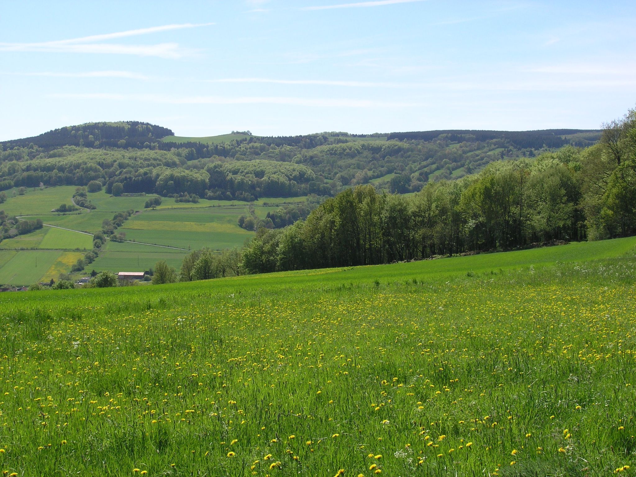
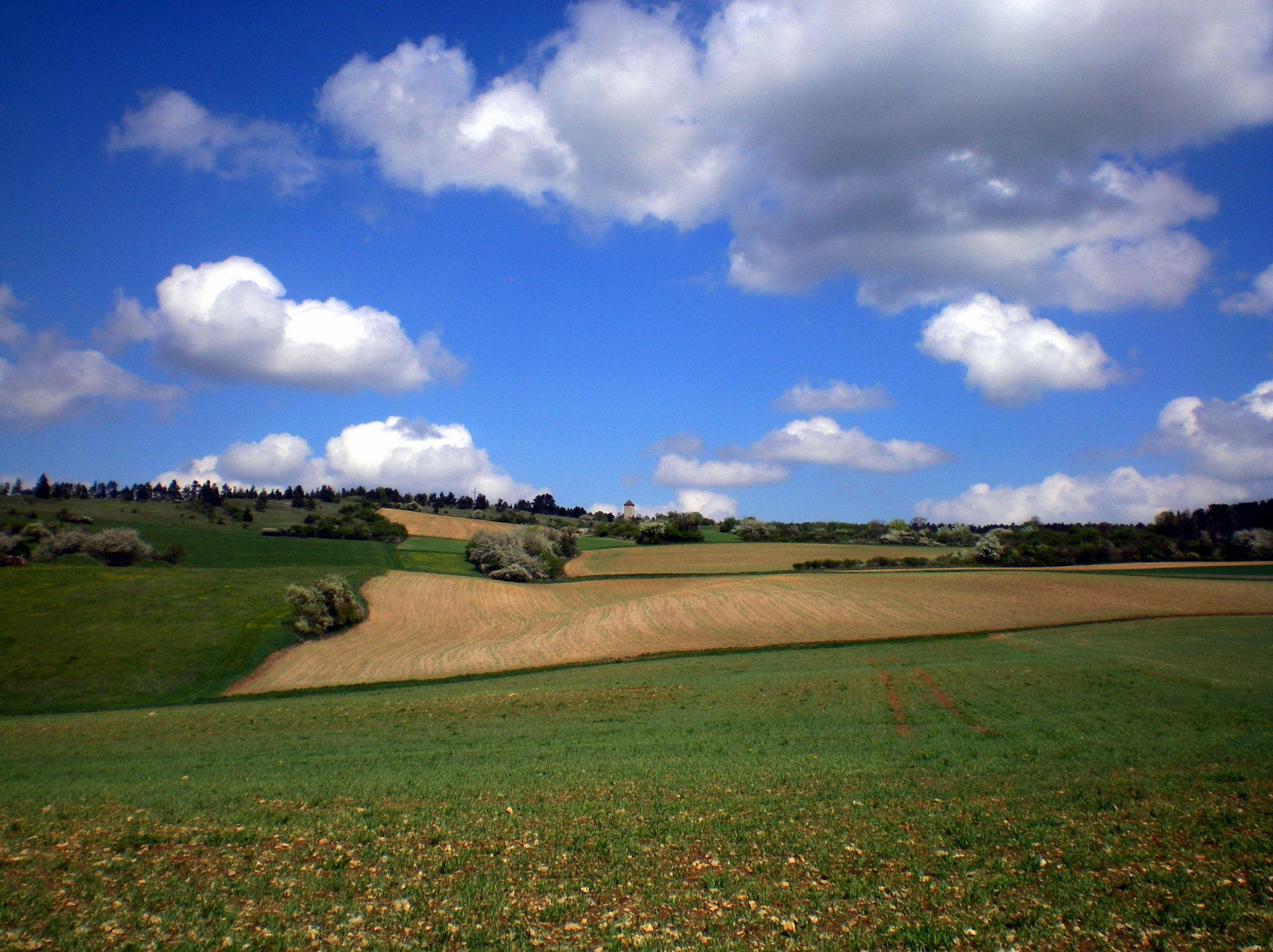
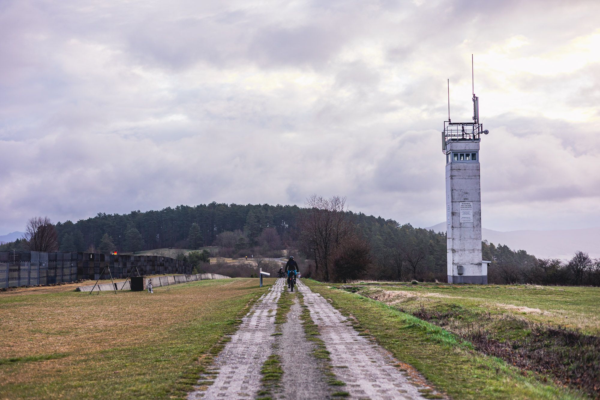
Other adventures around Ostheim vor der Rhön


Tips from the Community

Already interesting - unfortunately you can't see much of it
0
0
You can see it well...
0
0

...still clearly visible. The basalt block walls have survived the centuries in place
0
0
The striking mountains are clearly visible on the horizon
1
0

Great geological highlight at Gangolfsberg
0
0
Amazingly well-preserved ramparts from the old days. It's also great that you can see the original route on a map.
0
0

A beautiful place in nature with a wonderful view.
1
0
Frequently Asked Questions
How many bus station hiking trails are available around Ostheim vor der Rhön?
There are over 100 hiking routes accessible from bus stations around Ostheim vor der Rhön. These trails cater to various skill levels, with a good mix of easy, moderate, and a few challenging options.
Are there any easy bus-accessible hikes suitable for beginners or families?
Yes, Ostheim vor der Rhön offers many accessible routes suitable for families and those seeking easier walks. While specific easy routes from bus stations are not detailed here, the region is known for its well-marked paths with minimal elevation gain, making them ideal for a relaxed outing. Look for trails described as 'easy' in the komoot app for more options.
Can I find circular hiking routes that start and end at a bus station?
Many of the routes in the region are designed as circular paths, allowing you to return to your starting point without needing additional transport. For example, the Gangolfsberg Nature Trail – Boulder fields on Gangolfsberg loop from Ostheim vor der Rhön (VGem) is a moderate circular hike that starts and ends conveniently.
What kind of natural features or landscapes can I expect to see on these bus-accessible trails?
The trails around Ostheim vor der Rhön offer diverse landscapes within the Rhön Biosphere Reserve. You'll encounter rolling hills, picturesque valleys, bright mixed forests, and species-rich dry grasslands. Geological features like the Boulder Fields on Gangolfsberg are also a highlight, as seen on the Gangolfsberg Nature Trail.
Are there any viewpoints or scenic spots accessible from bus station hikes?
Absolutely. The region is known as the 'Land der offenen Fernen' (land of open distances) for a reason. Many trails offer magnificent distant views. For instance, the View of Heidelstein – View of Rother Kuppe loop from Gangolfsberg provides excellent panoramic vistas.
Are there any waterfalls or water features along the bus-accessible hiking trails?
Yes, the area features several beautiful water attractions. While not directly on every bus-accessible route, you can find highlights like the Cascade Gorge, Eisgraben Waterfall, and Devil's Mill Waterfall within the broader region. Some routes might offer detours or pass close to these natural wonders.
What historical landmarks or attractions can I explore near the bus station trails?
Ostheim vor der Rhön is rich in history. A prominent landmark is the Lichtenburg Castle Ruins, perched above Ostheim, which offers rewarding views and insights into the region's past. The premium Extratour Ostheimer trail, known for its half-timbered scenery, also provides a glimpse into local history.
What do other hikers enjoy most about hiking in Ostheim vor der Rhön?
The komoot community highly rates the hiking experience in Ostheim vor der Rhön, with an average score of 4.6 stars from over 18,000 ratings. Hikers frequently praise the diverse landscapes, the well-maintained trail network, and the stunning panoramic views, especially those found on routes like the View of Rother Kuppe – Hohes Polster loop from Gangolfsberg.
Are there any specific nature reserves or protected areas I can hike through?
Ostheim vor der Rhön is located within the Rhön Biosphere Reserve, ensuring a rich natural environment. Specific nature reserves like the 'Lange Rhön' and Weyhershauk offer unique flora and fauna. Many bus-accessible trails will lead you through parts of this protected and diverse landscape.
Are there any trails that pass by unique geological formations?
Yes, the region is known for its interesting geological features. The Gangolfsberg Nature Trail, for example, takes you through the impressive Boulder Fields on Gangolfsberg. Another route, the Basalt Loading Chute – Rother Kuppe Observation Tower loop from Gangolfsberg, highlights basalt formations.
What is the best time of year for bus-accessible hiking in Ostheim vor der Rhön?
The diverse landscapes of Ostheim vor der Rhön make it appealing year-round. Spring brings blooming wildflowers, summer offers lush greenery, and autumn transforms the forests with vibrant colors. Even winter can be beautiful for hiking, provided you are prepared for colder conditions and potential snow. Always check local weather forecasts before heading out.
Most popular routes around Ostheim vor der Rhön
Most popular attractions around Ostheim vor der Rhön

Get inspired with the komoot mobile app


Explore more
Browse the best Hikes in other regions.
