The best hikes from bus stations around Landkreis Esslingen
4.5
(32395)
139,205
hikers
1,964
hikes
Hiking around Landkreis Esslingen offers a diverse landscape for outdoor activities, characterized by the dramatic Albtrauf escarpment of the Swabian Alb, the picturesque vineyards of the Neckar Valley, and extensive forest areas like the Schurwald and Schönbuch. The region features varied terrain, from river valleys with historic mills to elevated viewpoints providing expansive panoramas. This blend of natural beauty and cultural heritage makes it a compelling destination for bus station hiking trails.
Best bus station hiking trails around Landkreis Esslingen
…Last updated: July 10, 2026
4.8
(69)
240
hikers
21.3km
06:18
590m
630m
Hard hike. Very good fitness required. Mostly accessible paths. Sure-footedness required.
4.5
(281)
911
hikers
Easy hike. Great for any fitness level. Easily-accessible paths. Suitable for all skill levels.

Sign up for free
4.8
(412)
1,460
hikers
13.1km
03:55
380m
380m
Moderate hike. Good fitness required. Easily-accessible paths. Suitable for all skill levels.
4.4
(132)
628
hikers
10.6km
02:53
160m
160m
Moderate hike. Good fitness required. Easily-accessible paths. Suitable for all skill levels.
4.8
(72)
380
hikers
5.17km
01:35
190m
190m
Easy hike. Great for any fitness level. Easily-accessible paths. Suitable for all skill levels.
Get access to more routes and recommendations from other explorers.
Sign up for free
Already have an account?
Our route recommendations are based on thousands of hikes, rides, and runs completed by other people on komoot.
Start today with a free account
Your next adventure awaits.
Login or Signup
Popular around Landkreis Esslingen
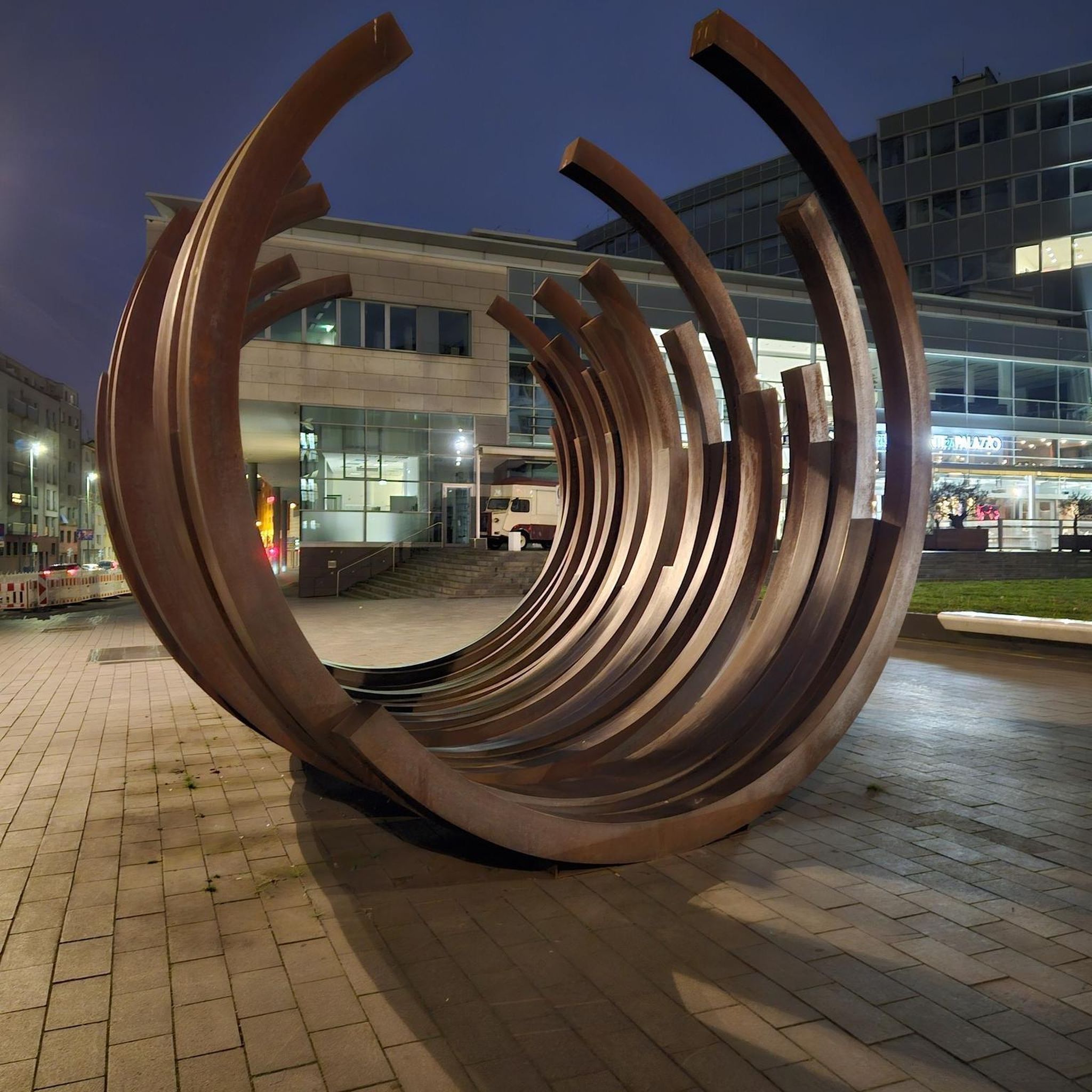
Hikes from bus stations around Leinfelden-Echterdingen
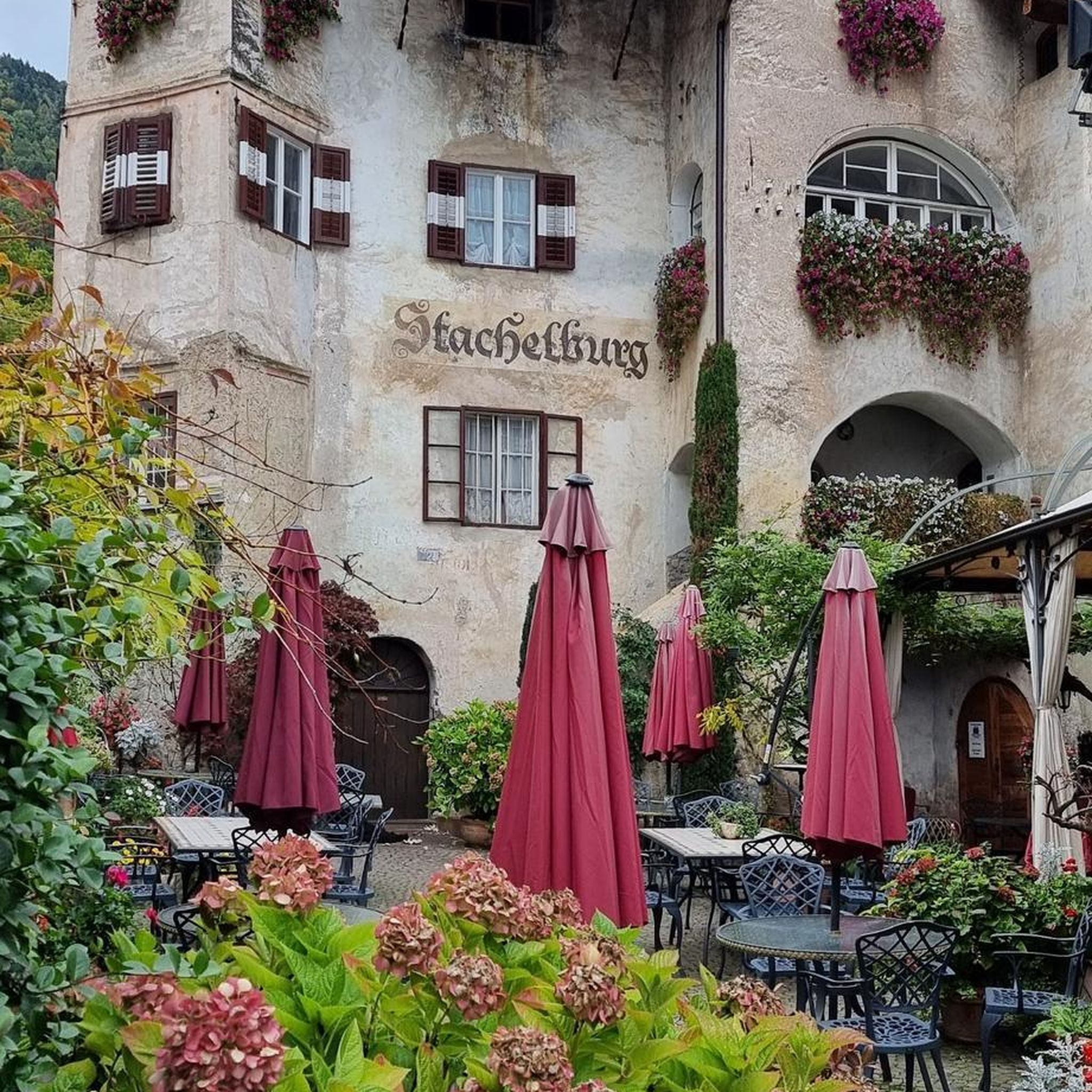
Hikes from bus stations in Sauhag
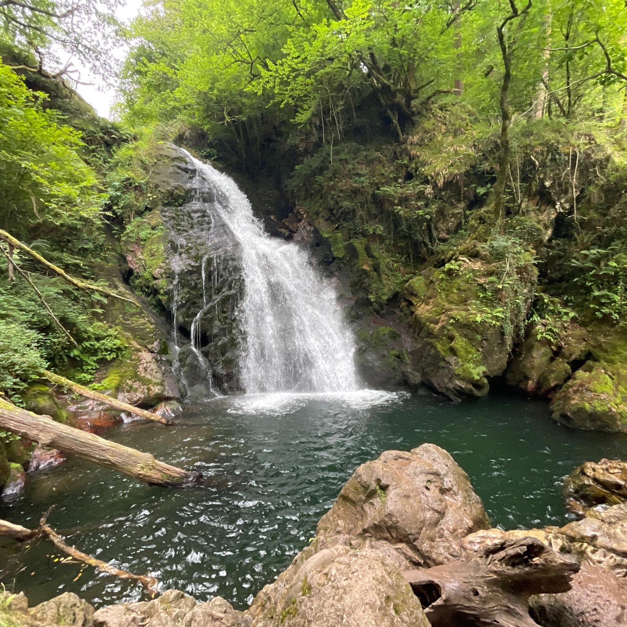
Hikes from bus stations around Bissingen an der Teck
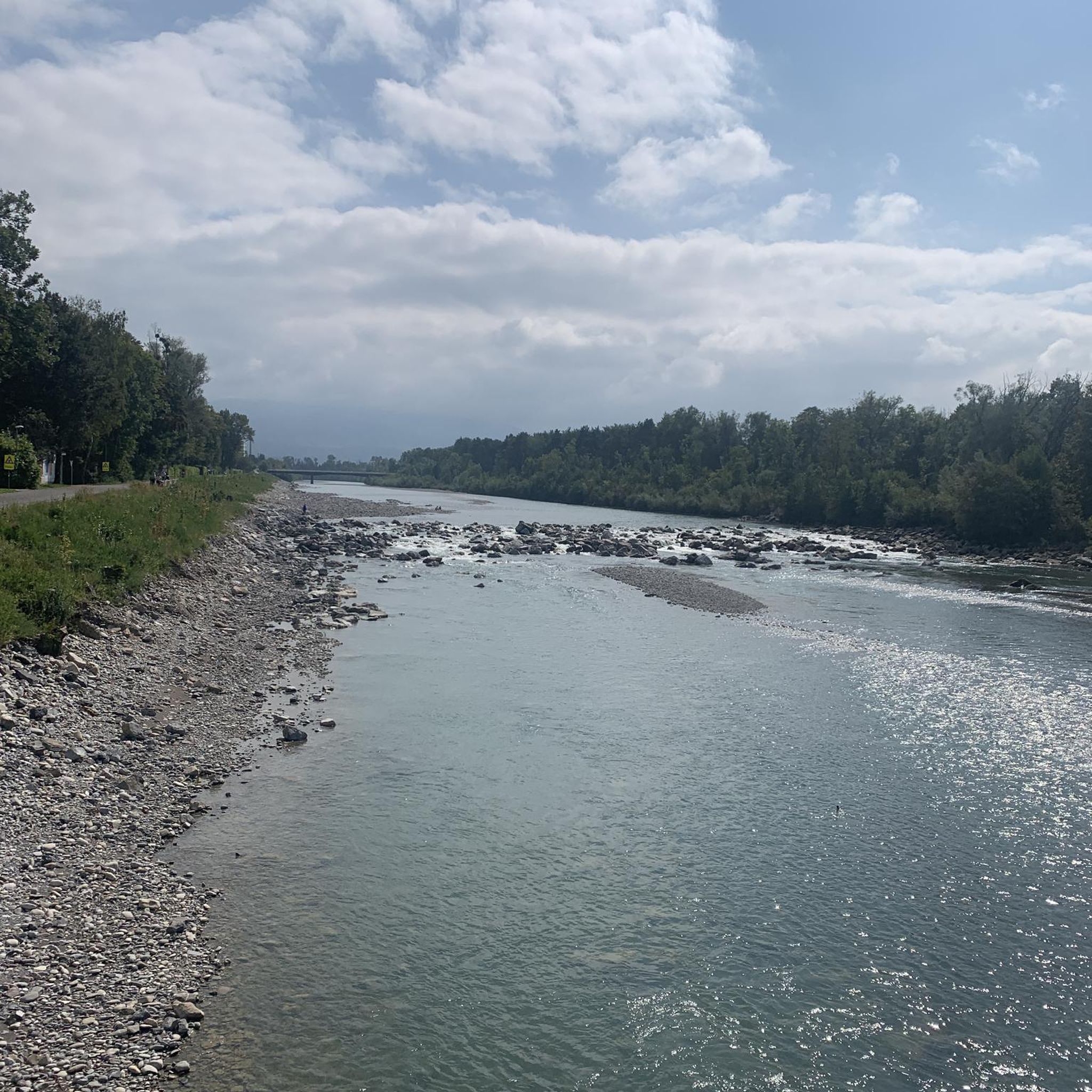
Hikes from bus stations around Oberes Lenninger Tal mit Seitentälern
Hikes from bus stations around Esslingen am Neckar
Hikes from bus stations around Nürtingen
Hikes from bus stations in Landschaftsschutzgebiet Schurwaldrand Altbach-Plochingen-Reichenbach
Hikes from bus stations around Lenningen
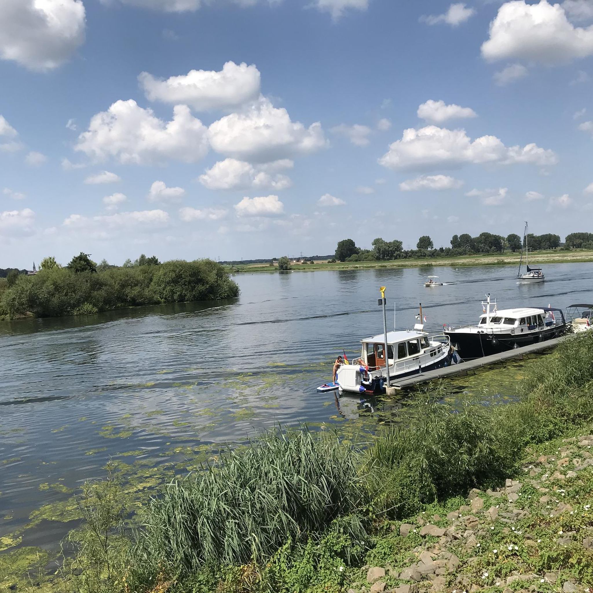
Hikes from bus stations in Schaichtal
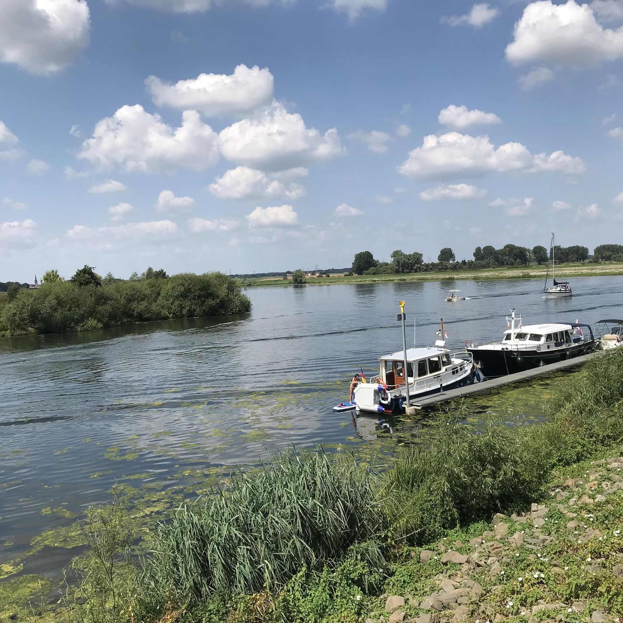
Hikes from bus stations around Aichtal
Other adventures around Landkreis Esslingen


Tips from the Community

Flour was produced here until 1925. The old millstones are still there. The mill wheel continued to generate electricity until the war year of 1945, when the mill building and the mill wheel were severely damaged.
11
0
One of the few mills accessible by car via the "Alte Poststrasse" (Old Post Road). Parking is available. The mill boasts a lovely self-service beer garden.
10
0

An organic farm, a really beautiful stream and a great bench and a great landscape, what more could you want 😍
5
0
Highly recommended, great hiking trails 😍 and easy to walk.
4
0

Great trail with amazing views. Watch out for hikers.
1
0

Beautiful view of the idyllically situated Schlösslesmühle (as of July 2025, unfortunately, there is no longer any catering)
0
0

Narrow steep climb to Hohenneuffen Castle.
0
0

View of the Obere Mühle and the Piz Mus at the beginning of the Siebenmühlental in the immediate vicinity of Musberg.
8
0
Frequently Asked Questions
How many bus station hiking trails are available in Landkreis Esslingen?
There are over 1800 hiking routes in Landkreis Esslingen that are accessible from bus stations, offering a wide variety of options for all skill levels.
What kind of landscapes can I expect on bus-accessible hikes in Landkreis Esslingen?
You can experience a diverse range of landscapes, from the dramatic cliffs and juniper heaths of the Swabian Alb to the picturesque vineyards of the Neckar Valley. Extensive forests like the Schurwald and Schönbuch, as well as idyllic river valleys such as the Siebenmühlental, also offer beautiful scenery.
Are there easy bus-accessible hikes suitable for beginners or families?
Yes, Landkreis Esslingen offers over 1200 easy hiking routes accessible by bus, perfect for beginners or families. A great option is the Obere Mühle (Siebenmühlental) – Mäulesmühle (Mäules Mill) loop from Musberg, which is a gentle 4.9 km walk through the scenic Seven Mills Valley.
Are there more challenging bus-accessible hikes for experienced hikers?
For experienced hikers seeking a challenge, there are 24 difficult routes accessible by bus. The Gustav-Ströhmfeld Way is a demanding 21.3 km trail with significant elevation changes, offering a rewarding experience.
Can I find circular hiking routes that start and end at a bus stop?
Many of the bus-accessible routes in Landkreis Esslingen are circular, allowing you to start and finish your hike at the same bus stop. For example, the Trail to Hohenneuffen Castle – Hohenneuffen Castle loop from Neuffen is a moderate 13 km circular route offering stunning views and historical exploration.
Are there bus-accessible hikes that feature waterfalls or other natural attractions?
Absolutely! The region boasts several natural attractions. You can find routes that lead to the beautiful Neidlingen Waterfall, often combined with visits to historical sites. Other natural highlights include the Zipfelbach Gorge and the Stepped Waterfall on the Föllbach.
What historical landmarks or viewpoints can I discover on bus-accessible trails?
Many trails lead to impressive historical sites and offer panoramic views. The Hohenneuffen Castle loop takes you to the prominent Hohenneuffen Castle. You can also find routes with views from the Albtrauf escarpment, the Jusiberg, or the Jubilee Tower of the Swabian Alb Association, offering expansive vistas across the region.
Are bus-accessible hiking trails in Landkreis Esslingen dog-friendly?
Generally, most hiking trails in Landkreis Esslingen are dog-friendly, provided dogs are kept on a leash, especially in nature reserves or near livestock. It's always a good idea to check specific trail regulations or local signage. The Schlössle Mill – Seven Mills Valley loop from Musberg is a popular moderate route that many dog owners enjoy.
What do other hikers enjoy most about bus-accessible hiking in Landkreis Esslingen?
The area is highly rated by the komoot community, with an average score of 4.57 stars. Reviewers often praise the region's diverse landscapes, well-maintained trails, and the convenience of accessing beautiful nature directly from public transport hubs.
Are there any bus-accessible hikes that offer views of lakes or rivers?
Yes, several routes provide scenic views of lakes and rivers. The Neckar Valley trails offer picturesque views of the Neckar River and its vineyards. You can also find highlights like the Water Lily Pond in the Schaich Valley or the Bürgerseen, which are often part of local hiking loops.
What is a good bus-accessible hike for a shorter, easy outing with great views?
For a shorter, easy outing with rewarding views, consider the Mondhäge – Limburg Viewpoint loop from Weilheim an der Teck. This 5.1 km route offers lovely panoramas and is easily accessible.
Most popular routes around Landkreis Esslingen
Most popular attractions around Landkreis Esslingen

Get inspired with the komoot mobile app


Didn’t find what you were looking for?
Check out more Hikes throughout Landkreis Esslingen below and find the perfect route in your destination.
Explore more
Browse the best Hikes in other regions.
