The best hikes from bus stations around Oberhausen
4.5
(2841)
14,533
hikers
471
hikes
Bus station hiking trails around Oberhausen traverse a landscape shaped by its industrial past, now characterized by extensive green spaces and revitalized natural areas. The region features former mining spoil tips, such as Halde Haniel, which offer panoramic views. Urban parks like Kaisergarten provide vast forest and meadow areas, while the Rhein-Herne Canal offers linear green corridors. This blend of industrial heritage and natural transformation defines the terrain for outdoor activities.
Best bus station hiking trails around Oberhausen
- The most…
Last updated: July 10, 2026
4.7
(67)
213
hikers
Hard hike. Very good fitness required. Easily-accessible paths. Suitable for all skill levels.
4.7
(65)
177
hikers
Moderate hike. Good fitness required. Easily-accessible paths. Suitable for all skill levels.

Sign up for free
4.7
(65)
278
hikers
Hard hike. Good fitness required. Sure-footedness, sturdy shoes and alpine experience required.
4.6
(46)
166
hikers
Hard hike. Good fitness required. Sure-footedness, sturdy shoes and alpine experience required.
4.8
(39)
239
hikers
3.12km
01:01
110m
110m
Hard hike. Great for any fitness level. Sure-footedness, sturdy shoes and alpine experience required.
Get access to more routes and recommendations from other explorers.
Sign up for free
Already have an account?
Our route recommendations are based on thousands of hikes, rides, and runs completed by other people on komoot.
Start today with a free account
Your next adventure awaits.
Login or Signup
Popular around Oberhausen
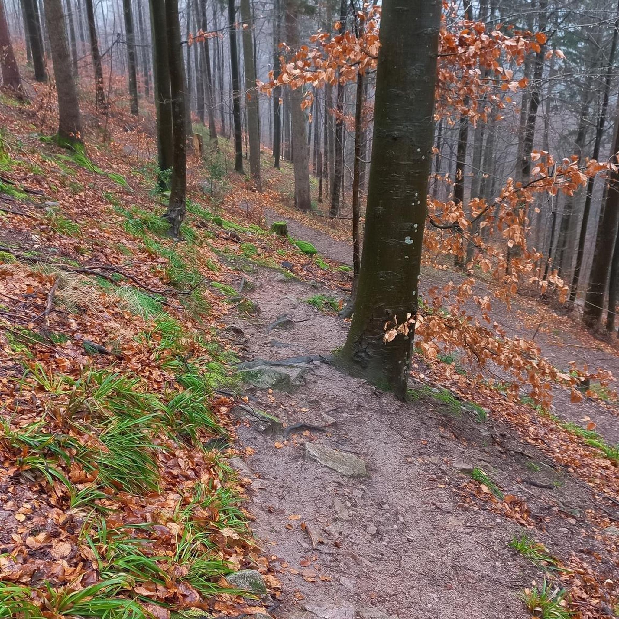
Hikes from bus stations in Nsg Hiesfelder Wald
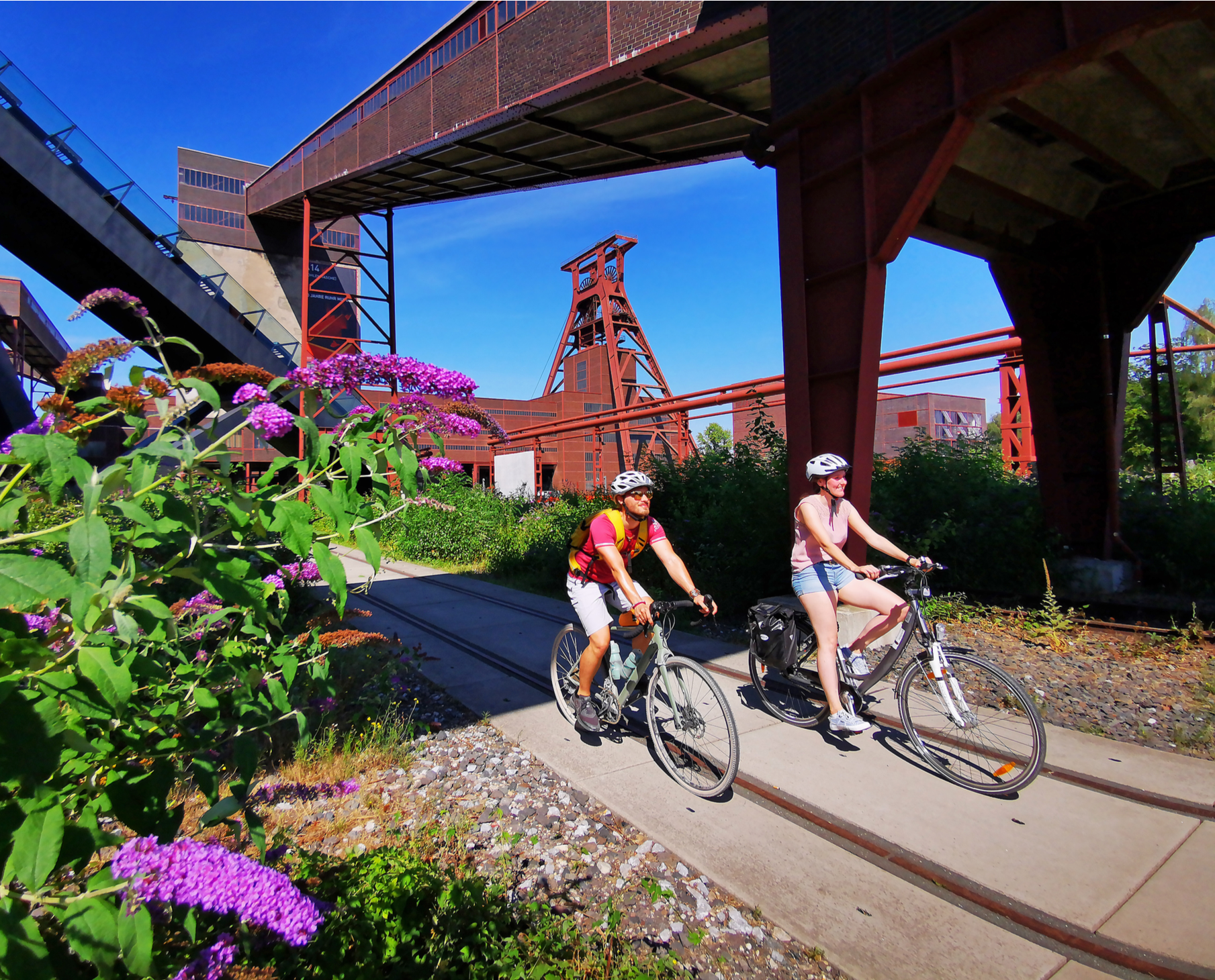
Railway cycling and industrial heritage in the Ruhr area – RevierRouten
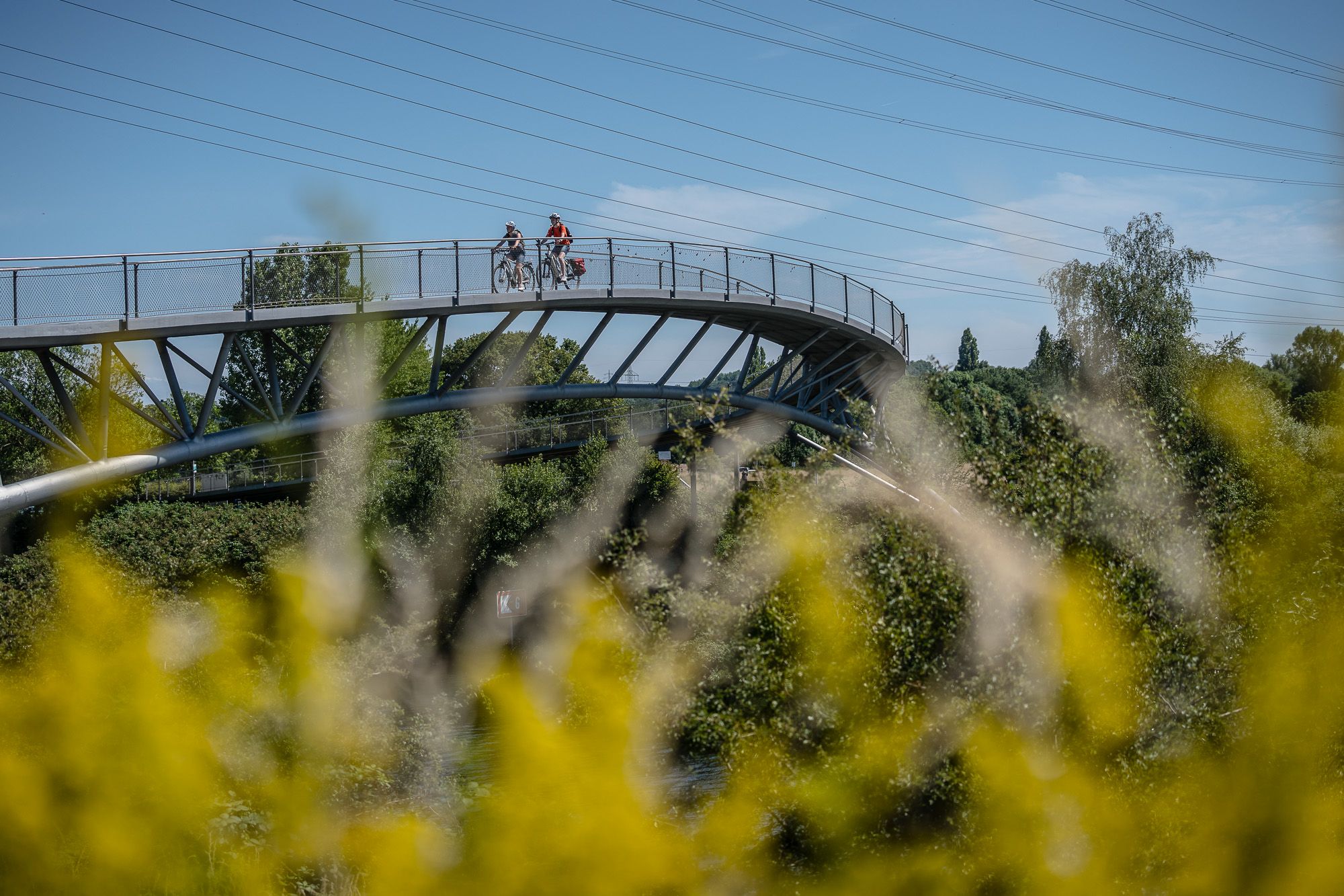
Visiting the neighbour – cycling Tours in the Ruhr area and Düsseldorf
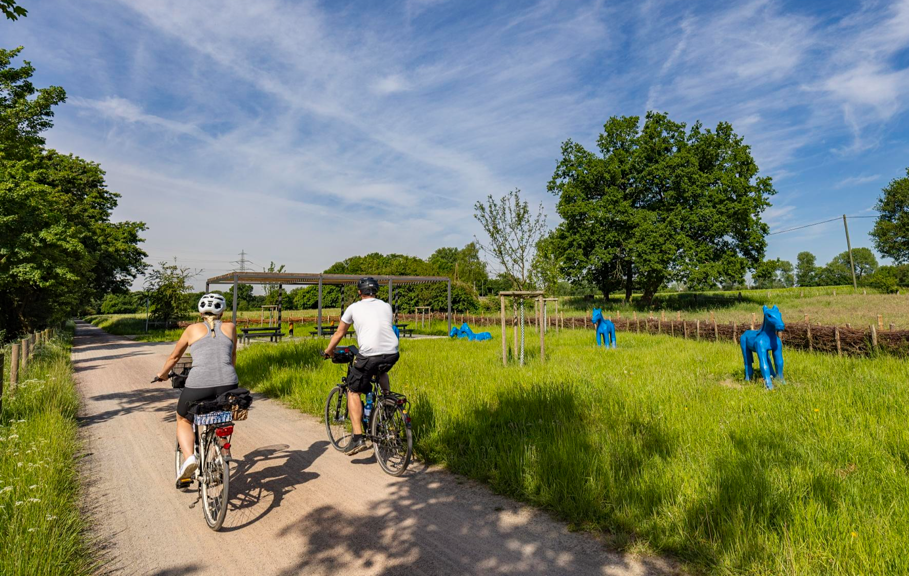
Healthy cycling on Germany’s Emscher River
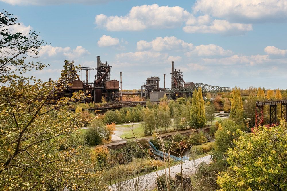
Nature, industrial heritage and the Ruhr – Emscher Park Cycle Route
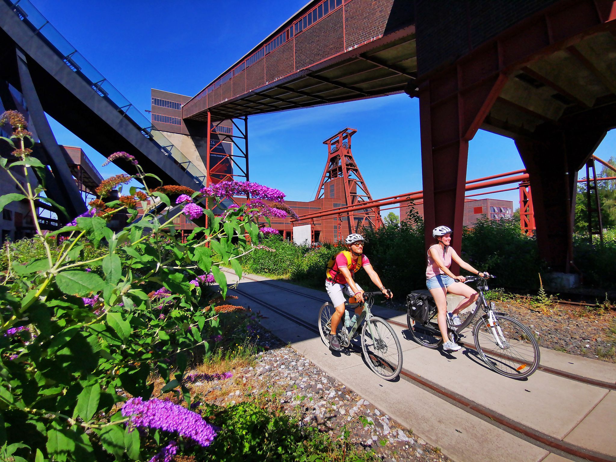
The RevierRouten in the radrevier.ruhr
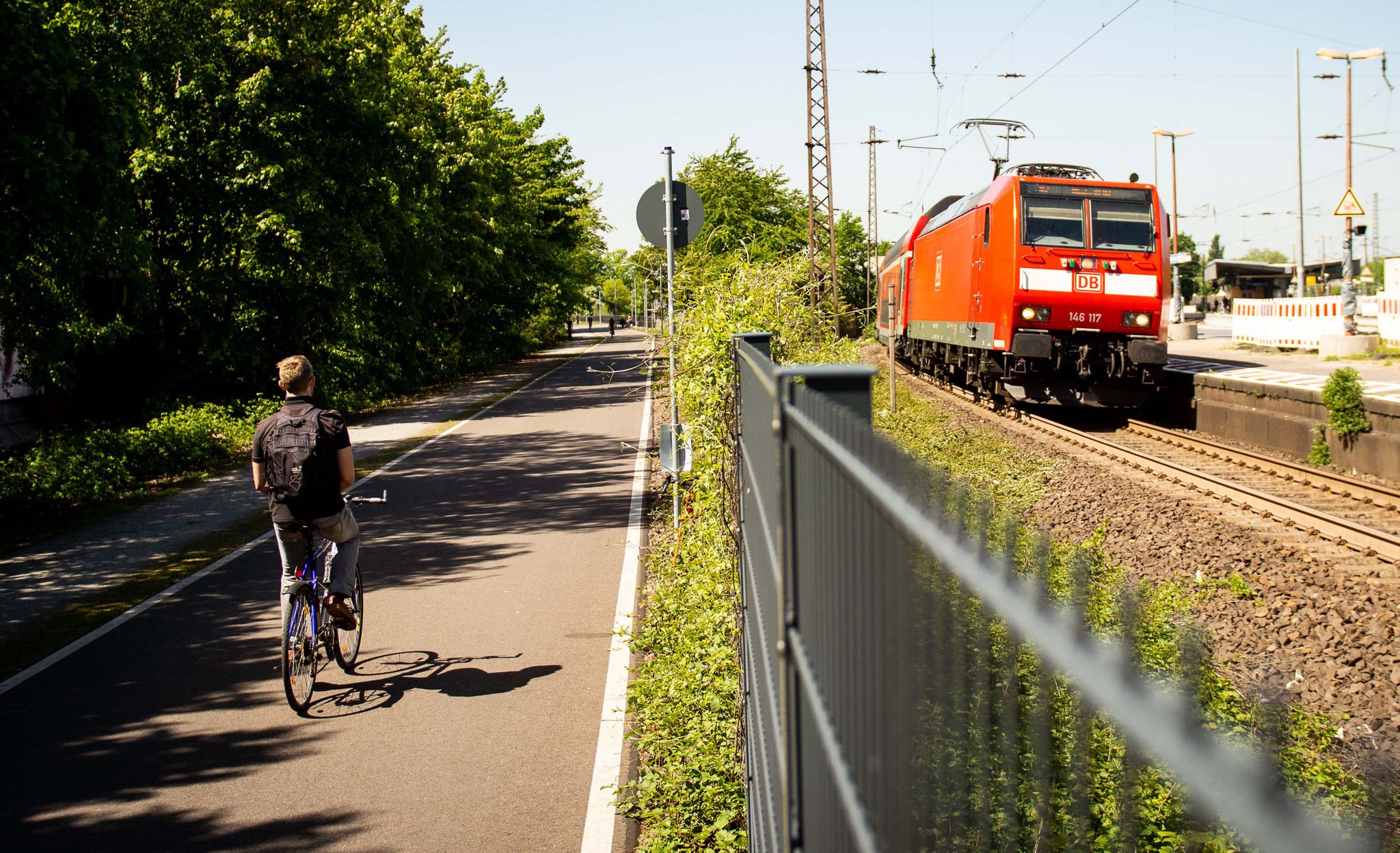
Cycle the most beautiful railway tracks – Germany’s Ruhr area (west and south)
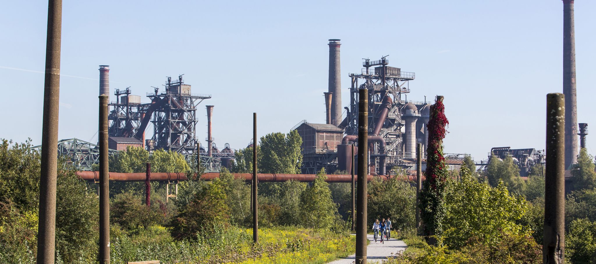
Industry, history, nature — a colorful journey through the radrevier.ruhr
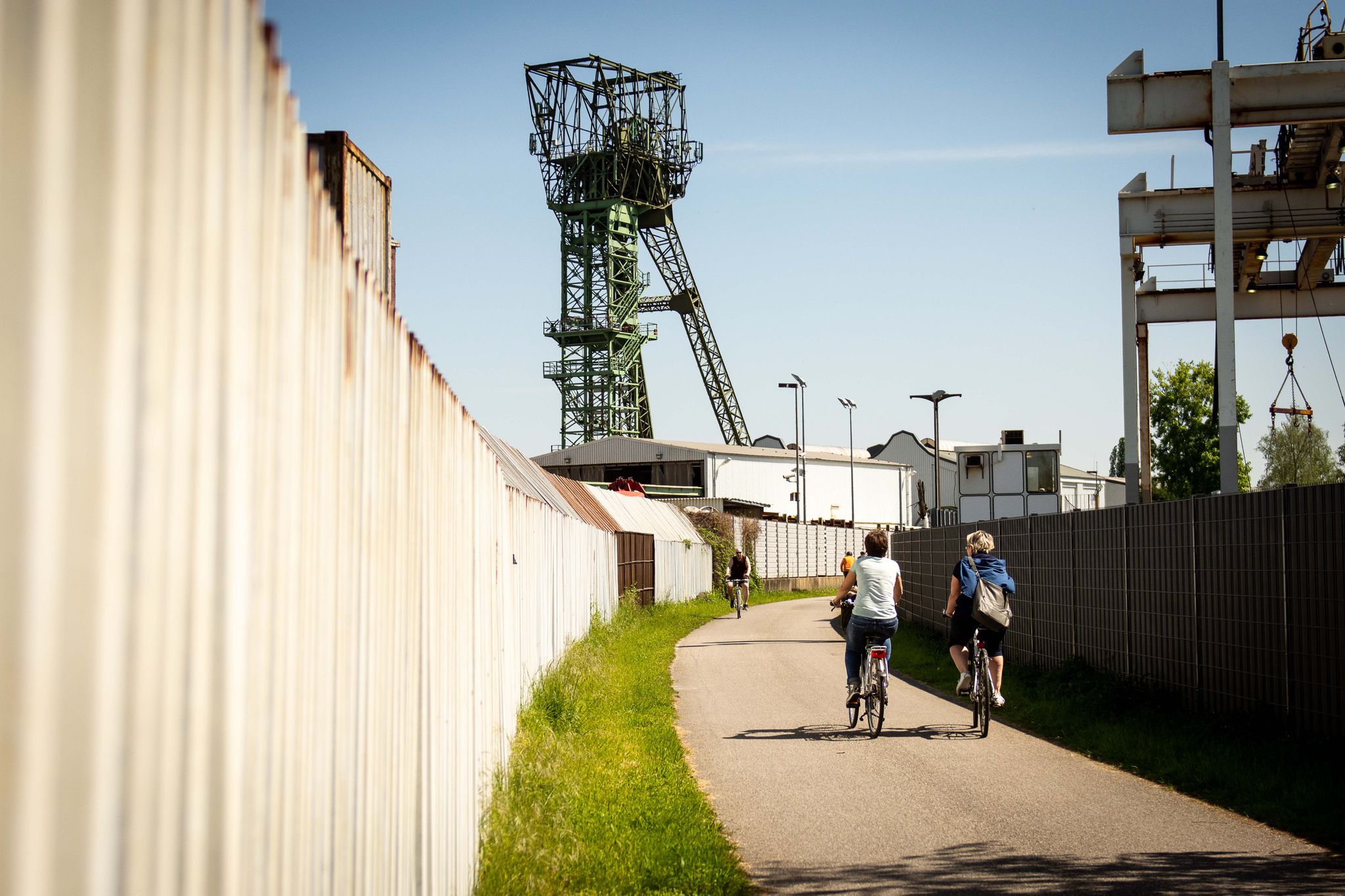
Experience cycling between coal and nature: the radrevier.ruhr
Ruhr area's best after-work rides
Other adventures around Oberhausen


Tips from the Community

The headframe symbolizes the "old Ruhr region" today and has, in my opinion, an interesting shape. Due to the fact that this mine was the last in the Ruhr region to cease operations, it even has a unique selling point.
0
0

If you know what to look for, you can spot the tetrahedron.
0
0

Very nice path for a hike
0
0

Within the nature reserve, the Schwarzbach stream is left inaccessible to nature. However, a well-maintained hiking trail runs along the Rotbach stream, allowing visitors to experience this beautiful stream. May all who use the trail be aware of this precious treasure and demonstrate particular caution and care.
1
0
Great view of the Ruhr area from above
0
0
Great view of the Ruhr area and the Tetrahedron
0
0

Unfortunately, the point is a construction site. The totems have been dismantled, and the interior is cordoned off with a construction fence. I hope the renovation doesn't take too long.
3
0

Take enough to drink and appropriate weather protection
2
0
Frequently Asked Questions
How many hiking trails are accessible from bus stations in Oberhausen?
There are over 400 hiking routes in Oberhausen that are easily accessible from local bus stations. This guide focuses specifically on these public transport-friendly options, making it convenient to explore the region's diverse landscapes.
What kind of landscapes can I expect to see on bus station hikes in Oberhausen?
Oberhausen's bus station hikes offer a unique blend of revitalized industrial heritage and lush green spaces. You'll find trails winding through former mining spoil tips like Halde Haniel, which now provide panoramic views, alongside tranquil urban parks such as the Kaisergarten, and pleasant paths along the Rhein-Herne Canal. The region's transformation from industrial heartland to recreational haven is a defining characteristic of its outdoor appeal.
Are there easy hiking trails suitable for beginners or families near bus stations?
Yes, Oberhausen offers a significant number of easy hiking trails accessible by bus, with over 320 routes categorized as easy. A great option for families or beginners is the Emscher River – Brachenthron (Brache Vondern) loop from Osterfeld, which is a gentle 4.7 km path exploring a segment of the Emscher Landscape Park.
Can I find circular hiking routes that start and end at a bus station?
Many of the routes in this guide are designed as circular walks, allowing you to start and finish your hike at the same bus station without needing to arrange return transport. For example, the View of Gasometer Oberhausen – View of Slinky Springs to Fame loop from Osterfeld offers a scenic circular path along the Rhein-Herne Canal.
What are some notable landmarks or attractions I can see on these bus station hikes?
Oberhausen's bus station hikes often pass by significant landmarks. You can encounter the iconic Gasometer Oberhausen, the distinctive Slinky Springs to Fame Bridge, and the historic Schloss Oberhausen adjacent to the Kaisergarten. Many routes also feature viewpoints like the View of Gasometer Oberhausen and Rhein-Herne Canal, offering great photo opportunities.
Are there dog-friendly hiking trails accessible from bus stations in Oberhausen?
Yes, many of Oberhausen's green spaces and canal paths are suitable for walks with dogs. While specific restrictions may apply in certain protected areas or animal enclosures, generally, the extensive network of trails, especially those through parks and along the Rhein-Herne Canal, are popular with dog owners. Always keep your dog on a leash where required and clean up after them.
What do other hikers say about the bus station trails in Oberhausen?
The hiking trails in Oberhausen are highly regarded by the komoot community, with an average rating of 4.56 out of 5 stars from over 2,400 reviews. Hikers often praise the unique blend of industrial heritage and nature, the accessibility via public transport, and the well-maintained paths that cater to various fitness levels.
Are there any longer or more challenging routes available from bus stations?
While many routes are easy, Oberhausen also offers more challenging options. For instance, the Rotbach Nature Reserve – Heath lake loop from NSG Im Fort westlich der Vellenfurth is a longer, more difficult hike spanning over 22 km, offering a deeper exploration of the natural reserve. Another challenging option is the Halde Haniel Mountain Arena – Start of Kreuzweg loop from Halde Haniel, which includes significant elevation gain.
Can I find routes that feature water elements like lakes or rivers?
Absolutely. Many trails in Oberhausen incorporate water features. The Rhein-Herne Canal provides extensive linear green corridors perfect for walks, and you can also find routes around natural bodies of water. The Small Bridge on the Rotbach – Rotbach Nature Reserve loop from NSG Im Fort westlich der Vellenfurth is a great example, following the Rotbach river through a nature reserve.
What is the best time of year to go hiking from bus stations in Oberhausen?
Oberhausen's hiking trails are enjoyable year-round. Spring and autumn offer pleasant temperatures and beautiful foliage, while summer is ideal for longer days and picnics. Even in winter, many paths remain accessible, providing a different, often serene, experience of the industrial-natural landscape. The urban parks and canal paths are particularly well-suited for year-round exploration.
Are there any parks or green spaces specifically good for family outings?
The Kaisergarten is an excellent choice for families. Located near Schloss Oberhausen, it features vast forest and meadow areas, a free animal enclosure, and an adventure playground. It's easily accessible by bus and offers routes like the Lake in Kaisergarten – Crown sculpture, Kaisergarten loop, which is perfect for a family-friendly stroll. Other green spaces like Revierpark Vonderort and OLGA Park also provide great recreational opportunities for all ages.
Most popular routes around Oberhausen
Most popular attractions around Oberhausen

Get inspired with the komoot mobile app


Didn’t find what you were looking for?
Check out more Hikes throughout Oberhausen below and find the perfect route in your destination.
Explore more
Browse the best Hikes in other regions.
