The best city hikes and walks in the Weser Uplands
4.6
(63668)
220,771
hikers
496
hikes
Urban hiking trails in the Weser Uplands navigate a landscape characterized by rolling, wooded hills and river valleys. The region features a mix of natural areas and historic towns, offering diverse terrain for exploration. Hikers can find paths through ancient woodlands, along the Weser River, and within charming timber-frame settlements. Peaks in the area can reach up to 440 meters, providing varied elevation changes even on urban routes.
Best urban hiking trails in the Weser Uplands
- The most popular urban…
Last updated: July 10, 2026
4.0
(1)
15
hikers
3.56km
01:05
10m
10m
Easy hike. Great for any fitness level. Easily-accessible paths. Suitable for all skill levels.
4.6
(146)
732
hikers
Easy hike. Great for any fitness level. Easily-accessible paths. Suitable for all skill levels.

Sign up for free
4.7
(63)
318
hikers
6.97km
01:57
110m
110m
Hard hike. Great for any fitness level. Sure-footedness, sturdy shoes and alpine experience required.
4.6
(26)
289
hikers
4.49km
01:08
10m
10m
Easy hike. Great for any fitness level. Easily-accessible paths. Suitable for all skill levels.
4.7
(119)
559
hikers
5.34km
01:24
40m
40m
Easy hike. Great for any fitness level. Easily-accessible paths. Suitable for all skill levels.
Get access to more routes and recommendations from other explorers.
Sign up for free
Already have an account?
Our route recommendations are based on thousands of hikes, rides, and runs completed by other people on komoot.
Start today with a free account
Your next adventure awaits.
Login or Signup
Popular around Weser Uplands
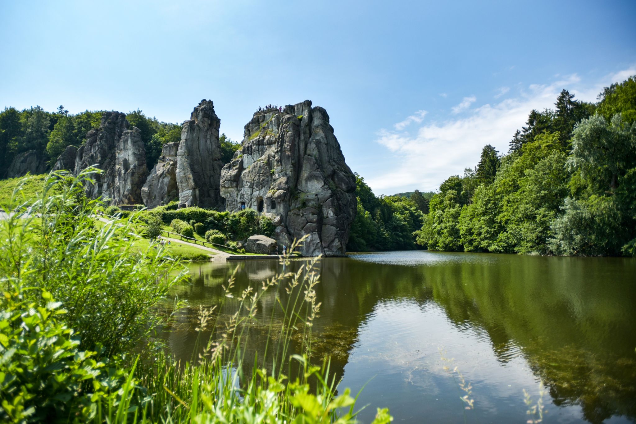
Hiking Germany's Hermannsweg – In the footsteps of the Cheruscan
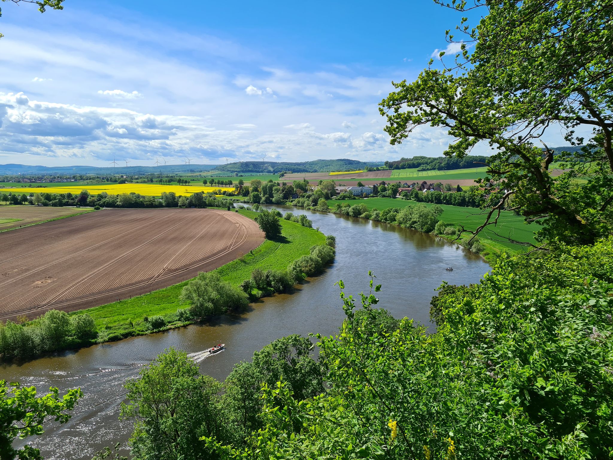
Loccum-Volkenroda pilgrim's way – From monastery to monastery

11 Hessen trails – criss-cross through the countryside
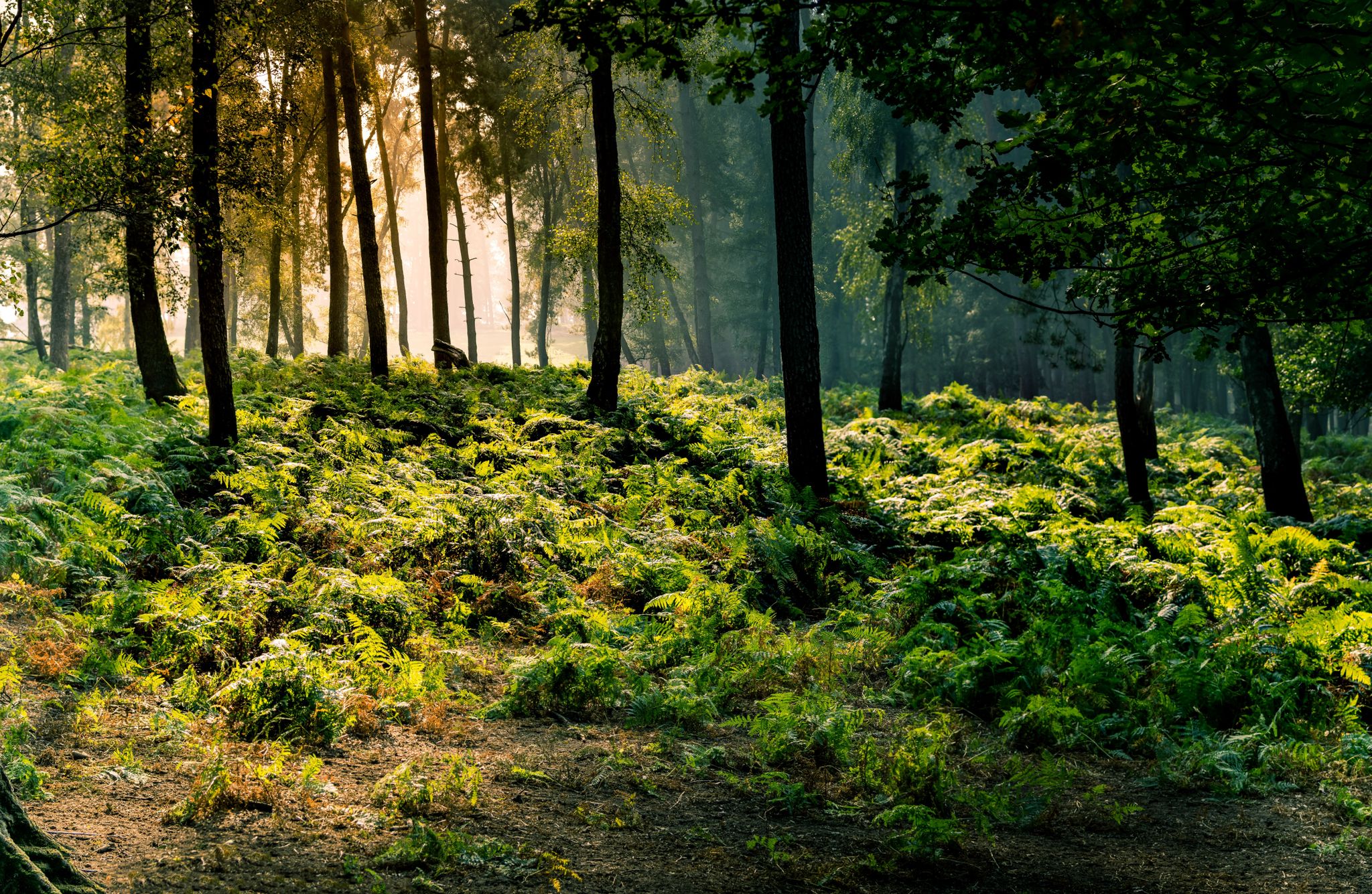
Frau Holle Trail – Nature and fairytales, eight stages
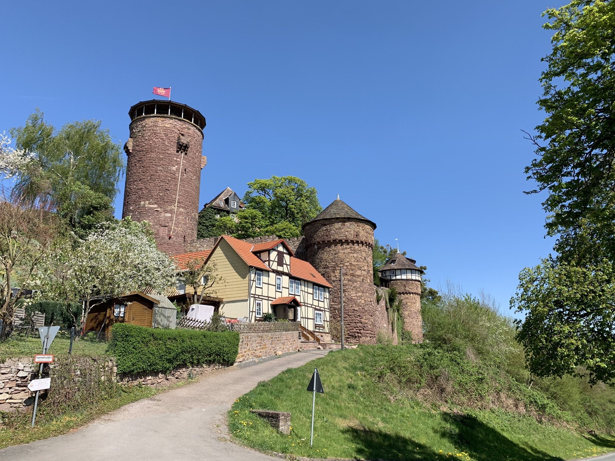
Hike the Fairy Tale Route – Enchanting days in Germany
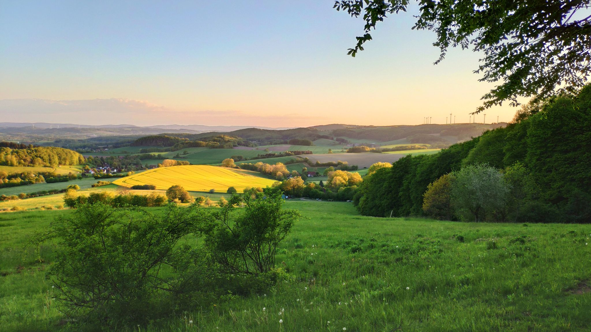
Hansa Trail in 6 stages – Hills and fun in Germany's Lipper Bergland
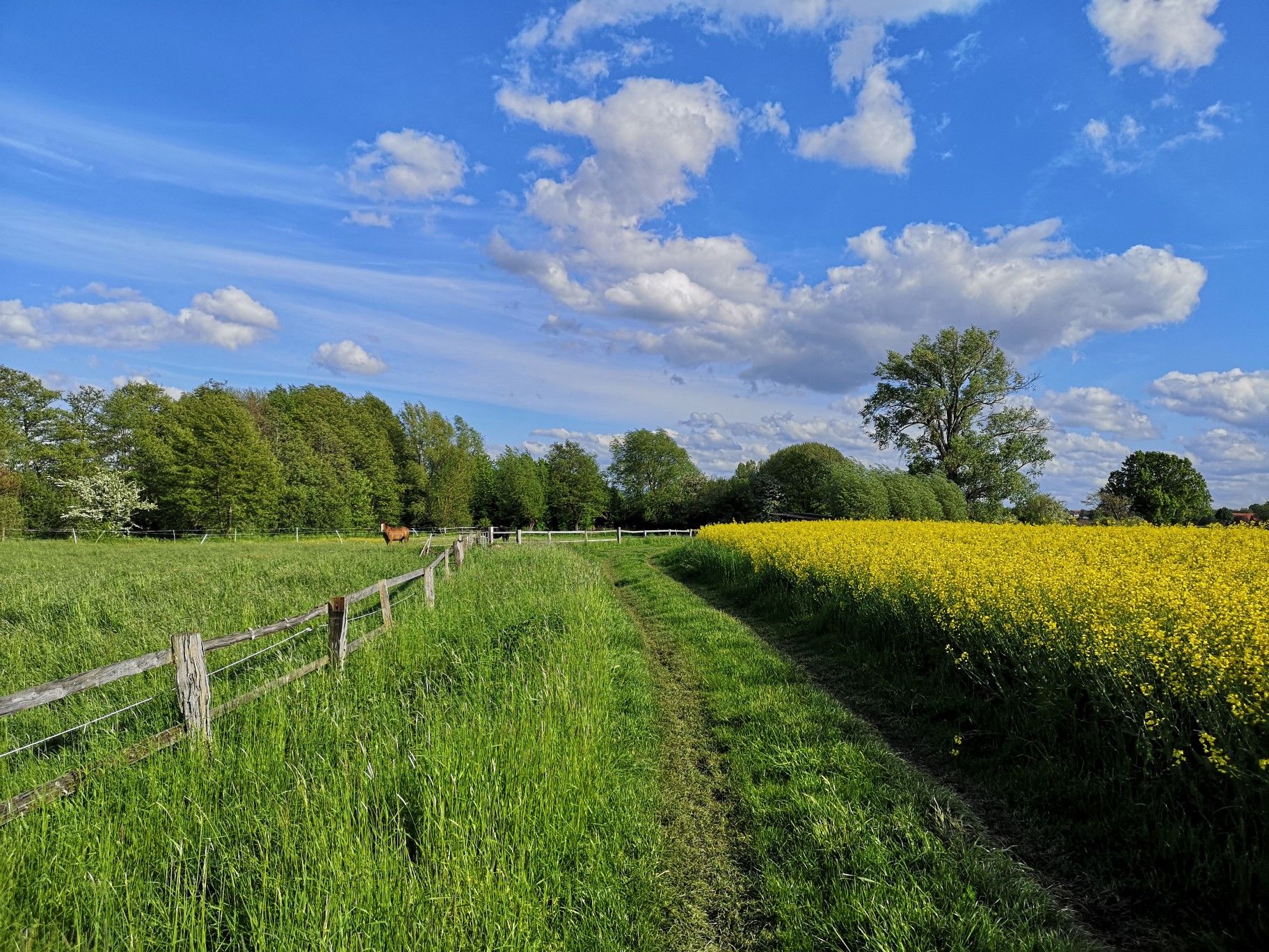
Hiking on Germany's Bückeberg Trail – Gentle hills and green forests
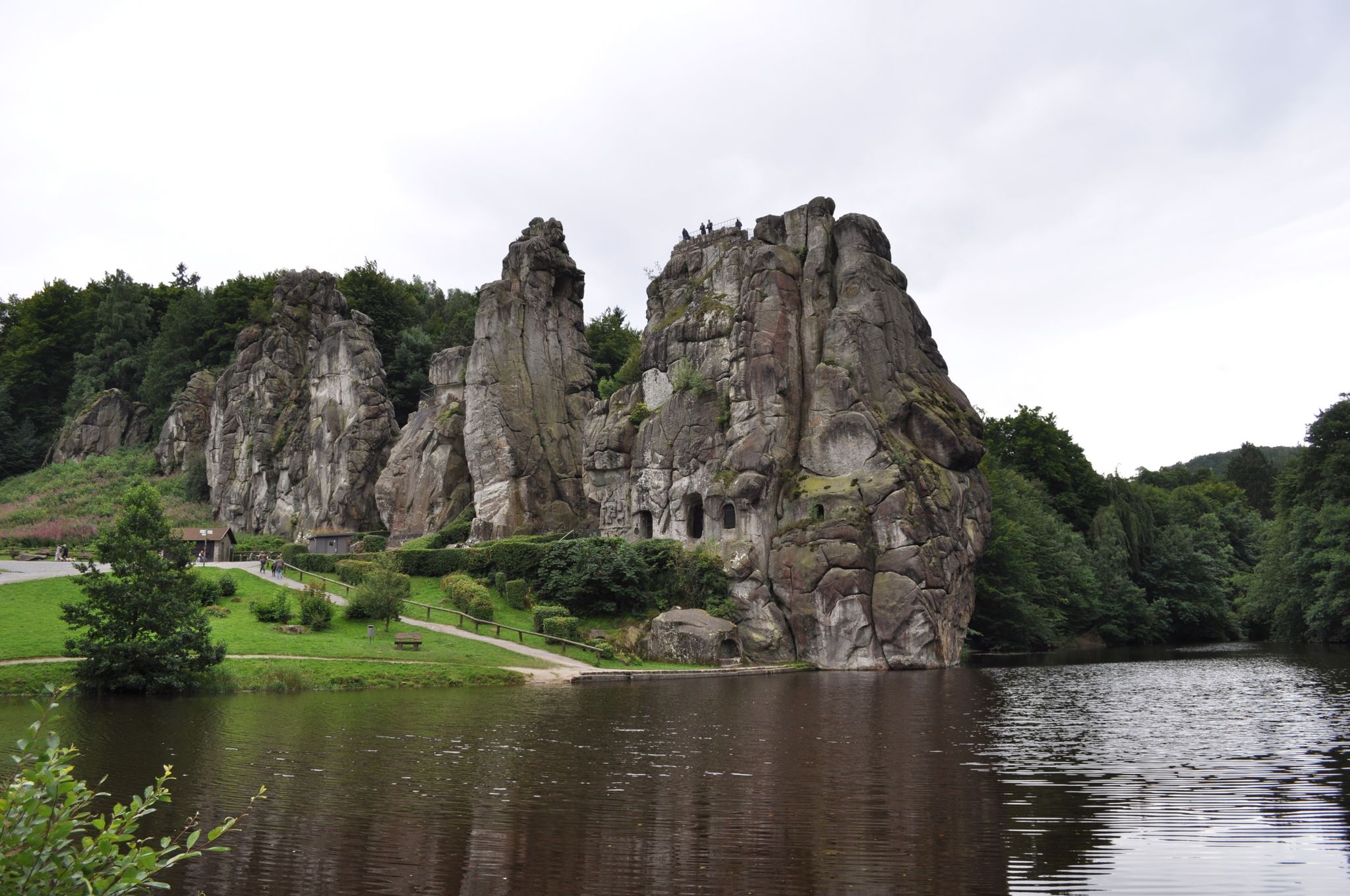
Egge Trail – Hiking through the Lower Saxon hills in Germany
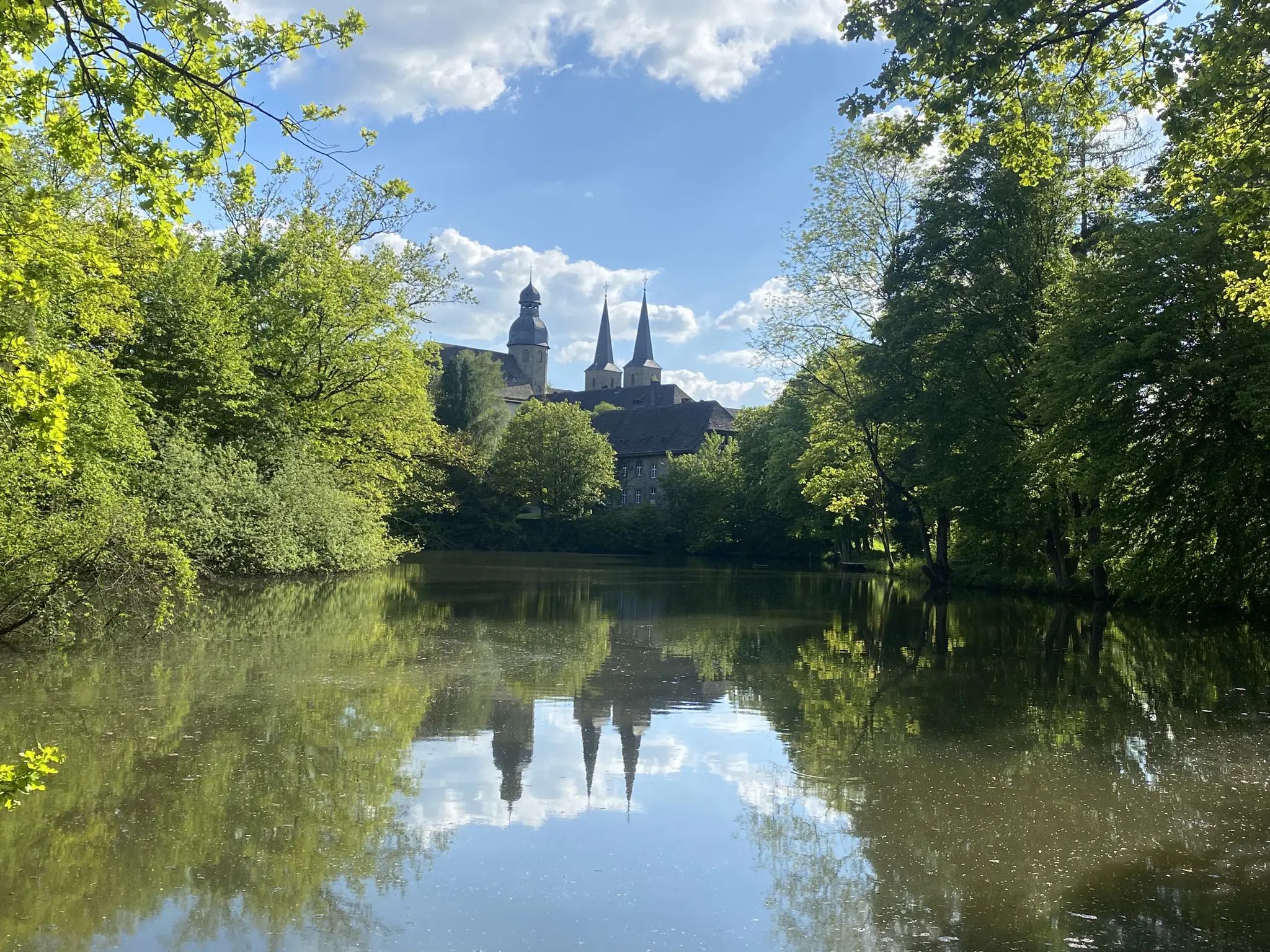
Weg der Stille - Ökumenischer Pilgerweg

The National Natural Landscapes in Hessen
Other adventures in the Weser Uplands


Tips from the Community

The first fortification of the city of Lemgo after its founding probably consisted only of a rampart and a ditch. It was not until the middle of the 13th century that a city wall with gates and towers was built. This wall was constantly reinforced and repaired. In the second half of the 16th century, the systematic expansion into a fortress took place. At that time, triangular bastions, the so-called Homeien, were also built in particularly vulnerable areas. Various experts, so-called Wallmeisters (fortification masters), were hired for these works. The last one, Henrich vom Hartze, was appointed in 1622. During the Thirty Years' War, only repair work was carried out. Because in the meantime, it had been recognized in Lemgo that no matter how strong the city's fortification was, it offered no protection and would not withstand the firepower of cannons. They did not even let it come to a siege and bombardment. The violent storming by the Swedes in 1646 was due to the stubbornness of the imperial city commander. On the other hand, its relatively strong fortification made the city interesting for both warring parties, so they made sure not to have it at their backs and to occupy it with their own troops as much as possible. After the end of the war, Lemgo let its fortifications fall into disrepair. Since 1853, walls and towers were sold for demolition, so that only small remains have survived. The last city gate was demolished in 1876.
1
0

The "dispute over the barrel" inspired the Aachen sculptor Bonifatius Stirnberg in 1977 to create the fountain. In 1587, Count Simon VI had the government of the Detmold region relocated to Brake Castle, where many of the count's officials now had their workplace. Due to the high space requirements, additional buildings had even been erected to accommodate the chancellor and other officials. However, in most cases, the officials, like Chancellor Dr. Balthasar Knaust, preferred to live in Lemgo rather than in Brake, which is why many of them lived not far from the current location of the Chancellor's Fountain at Ostertor. A few years later, the people of Lemgo fell more and more out of favor with the count, and the "dispute over the barrel" was a point at which this dispute ignited. The town had introduced a beverage tax, which, in Simon VI's opinion, was done unlawfully. As a result, the count turned away from Lemgo more and more and towards Detmold. The fountain is also a popular play and photo motif, especially among children and visitors to the town. Water flows from the top of a barrel, which, according to the artist, is filled with precious Mindener Bräuhahn beer, and around the edge of the basin are the parties involved in the dispute as bronze figures with movable joints. The expressive faces and the flexibility of the figures ensure that both young and old regularly want to shake their hands.
0
0

Great half-timbered houses can be discovered in Hameln's old town.
0
0

Currently, in April 2026, the Weserstein stands alone without a tree at the confluence of the Fulda and Werra rivers to form the Weser.
0
0

The rotunda was once part of the fortifications of Hann. Münden. After the demolition of the defensive tower and the city gate located there, it is the last remaining remnant of the former fortifications.
1
1

The red sandstone bridge on Ivenstraße spans the Krumme Wasser (Crooked Water). The striking bridge, with its two flattened pointed arches, was built in the 16th century and was part of the former military road between Einbeck, Alfeld, and Hanover. It was thus situated on an important route for goods and travelers between southern German cities and the Hanseatic cities in the north. Today, the bridge is a popular subject for photographs by the water.
1
0
The Stiftsgarten (Abbey Garden) is located on the northeastern edge of Einbeck's old town. In this green oasis in the heart of the city, you can spend some relaxing time – whether by the pond with its romantic fountain, in the Generations Garden with its play and fitness stations, or on the many paths that wind through the park.
1
0
At the foot of the Mühlenwall, on the corner of Bismarckstraße and Benser Straße, stands the Einbeck War Memorial. It commemorates the Franco-Prussian War of 1870/71. It was inaugurated on September 3, 1876, during the Sedan Day celebrations. Originally, the approximately eleven-meter-high monument stood in the middle of the market square. In 1942, it had to make way for the Eulenspiegel Fountain and was relocated. The design of the memorial, constructed of sandstone and limestone, comes from the Einbeck architect Conrad Wilhelm Hase.
1
0
Frequently Asked Questions
How many urban hiking trails are available in the Weser Uplands?
The Weser Uplands offer nearly 500 urban hiking trails, catering to various preferences. Most of these routes are rated as easy, making them accessible for a wide range of hikers.
What kind of landmarks and attractions can I expect to see on urban hikes in the Weser Uplands?
Urban hikes in the Weser Uplands often lead through charming towns and past historical sites. You might encounter impressive rock formations like the Externsteine, or enjoy panoramic views from spots such as the Eggeturm Observation Tower. Many routes also feature historical town centers, half-timbered houses, and remnants of ancient fortifications.
Are there any easy, circular urban walks suitable for families?
Yes, the region has many easy, circular urban walks perfect for families. For instance, the Wall loop through Einbeck's history – VitalWeg 1 is an easy 3.5 km route that explores the historic town of Einbeck. Another great option is the Lemgo ramparts – Bega Terraces loop from Lemgo, which is just over 5 km and offers a pleasant stroll through Lemgo.
What do other hikers enjoy most about urban hiking in the Weser Uplands?
The urban hiking trails in the Weser Uplands are highly rated by the komoot community, with an average score of 4.6 stars from over 58,000 ratings. Hikers frequently praise the well-maintained paths, the blend of natural beauty with historical townscapes, and the accessibility of routes that allow for exploration of charming towns like Hamelin and Hann. Münden.
Can I find urban hiking routes with viewpoints in the Weser Uplands?
Absolutely. Many urban hikes in the Weser Uplands offer scenic viewpoints. For example, the Mill Bridge, Hann. Münden – Tillyschanze Lookout Tower loop from Hann. Münden includes the Tillyschanze Lookout Tower, providing excellent vistas. You can also find stunning views of the Weser River, such as the View of Rinteln across the River Weser.
Are there urban trails that explore the history of the towns?
Yes, the Weser Uplands are rich in history and folklore. Many urban trails are designed to showcase the historical centers of towns. For instance, the Old Market Street, Hamelin – Rat Stones of Hamelin loop from Hamelin takes you through the famous town of Hamelin, known for the Pied Piper legend, allowing you to explore its historical streets and landmarks.
What is the best time of year for urban hiking in the Weser Uplands?
The Weser Uplands are beautiful year-round for urban hiking. Spring brings blooming flowers and mild temperatures, while autumn offers vibrant foliage. Summer is ideal for longer days and outdoor cafes, and even winter can be charming with crisp air and festive town decorations, especially on well-maintained urban paths.
Are there urban hikes that pass by lakes or rivers?
Yes, the Weser River flows through the region, and many urban trails incorporate riverside paths. You can also find routes near lakes. For example, some trails offer views of Lake Schieder or the ponds around the Externsteine, providing a refreshing natural element to your urban exploration.
Are there any urban hikes that are more challenging?
While most urban hikes in the Weser Uplands are easy, there are some that offer a bit more challenge, often involving more elevation gain. The Mill Bridge, Hann. Münden – Tillyschanze Lookout Tower loop from Hann. Münden, for example, is rated as difficult due to its elevation changes, providing a more strenuous urban hiking experience.
What kind of natural features can I expect to see on urban walks?
Even within urban settings, the Weser Uplands offer glimpses of their characteristic natural beauty. You'll often find trails leading through small wooded areas, along riverbanks, or past green spaces. The region is known for its rolling hills and forests, and even city-adjacent paths can provide a sense of the surrounding picturesque landscape.
Are there urban hikes suitable for a quick stroll?
Yes, many urban hikes in the Weser Uplands are relatively short and perfect for a quick stroll. The Wall loop through Einbeck's history – VitalWeg 1 is just over 3.5 km, making it an ideal choice for a shorter, leisurely walk to explore a town without committing to a long trek.
Can I find urban hikes that connect different parts of a town?
Many urban routes are designed to connect key areas and attractions within a town. For example, the Mill Bridge, Hann. Münden – Market Square, Hann. Münden loop from Hann. Münden links important historical and scenic points in Hann. Münden, allowing you to experience the town's character comprehensively.
Most popular routes in the Weser Uplands
Most popular attractions in the Weser Uplands

Get inspired with the komoot mobile app


Explore more
Browse the best Hikes in other regions.
