The best hikes from bus stations in Franconia
4.6
(41749)
168,899
hikers
44,619
hikes
Bus station hiking trails in Franconia traverse a diverse landscape characterized by rocky terrain, winding river valleys, and extensive woodlands. The region features dolomite rock formations, varied forestland, and low mountain ranges with rolling hills. Franconia's natural parks cover a significant portion of its territory, offering a network of trails through varied elevations and natural features.
Best bus station hiking trails in Franconia
- The most popular bus station hiking route is Schwarzes Moor Nature Trail – nature and knowledge in…
Last updated: October 19, 2026
4.8
(1033)
4,200
hikers
Easy hike. Great for any fitness level. Easily-accessible paths. Suitable for all skill levels.
4.6
(586)
1,892
hikers
8.30km
02:13
90m
90m
Moderate hike. Good fitness required. Easily-accessible paths. Suitable for all skill levels.

4.7
(611)
2,406
hikers
13.5km
03:24
20m
10m
Moderate hike. Good fitness required. Easily-accessible paths. Suitable for all skill levels.
4.8
(400)
1,218
hikers
7.71km
02:14
190m
190m
Moderate hike. Good fitness required. Easily-accessible paths. Suitable for all skill levels.
4.6
(430)
1,263
hikers
10.5km
02:51
150m
150m
Moderate hike. Good fitness required. Easily-accessible paths. Suitable for all skill levels.
Get access to more routes and recommendations from other explorers.
Already have an account?
Our route recommendations are based on thousands of hikes, rides, and runs completed by other people on komoot.
Start today with a free account
Your next adventure awaits.
Popular around Franconia

Steigerwald panorama trail — 9 days

Main-Danube-Lake Constance Trail – Along iconic waters
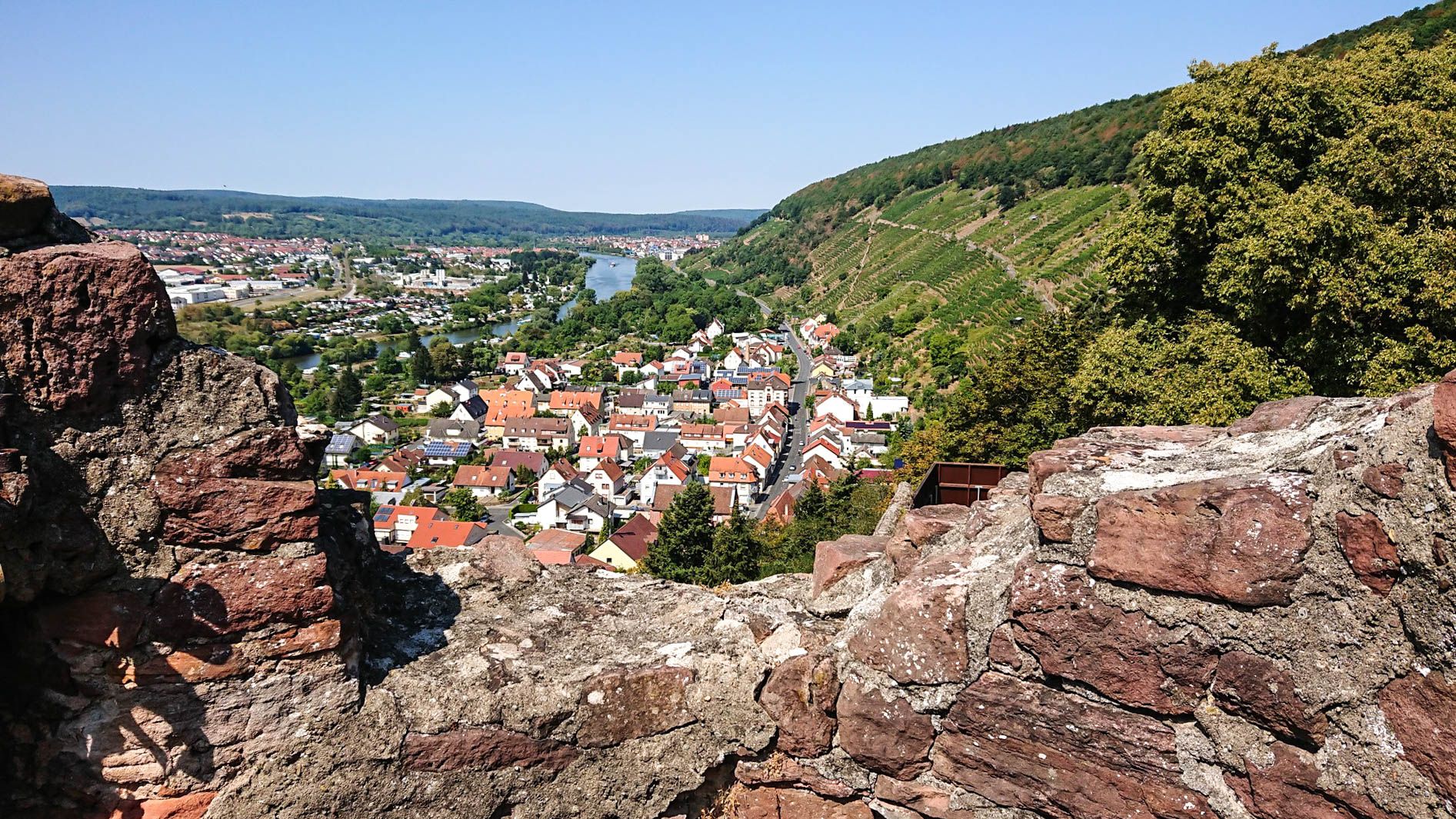
Franconian Red Wine Trail — From vineyards to the Main River

The Romantic Road – To the Pearls of Southern Germany
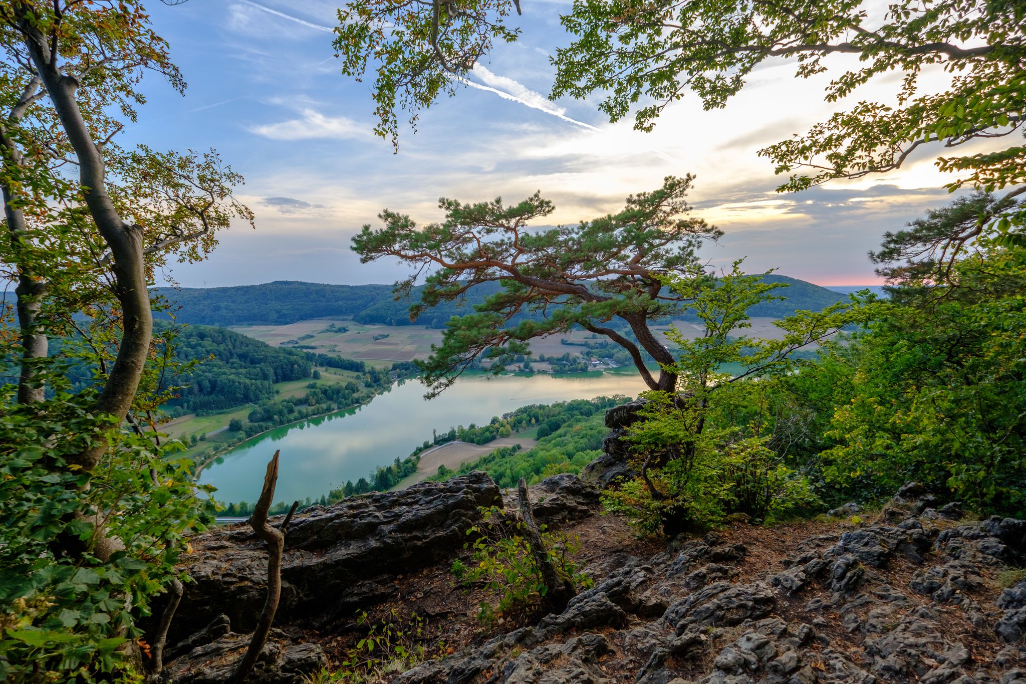
Franconian Jura Panorama Trail in Germany — Silent forests & lonely paths
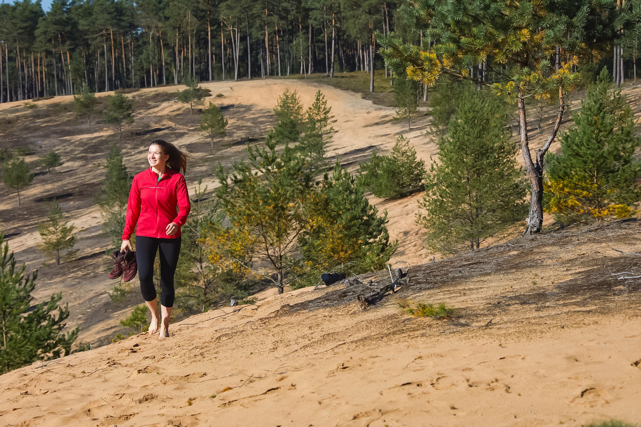
Hike the Dune Path in Central Germany – From sand dunes to forests
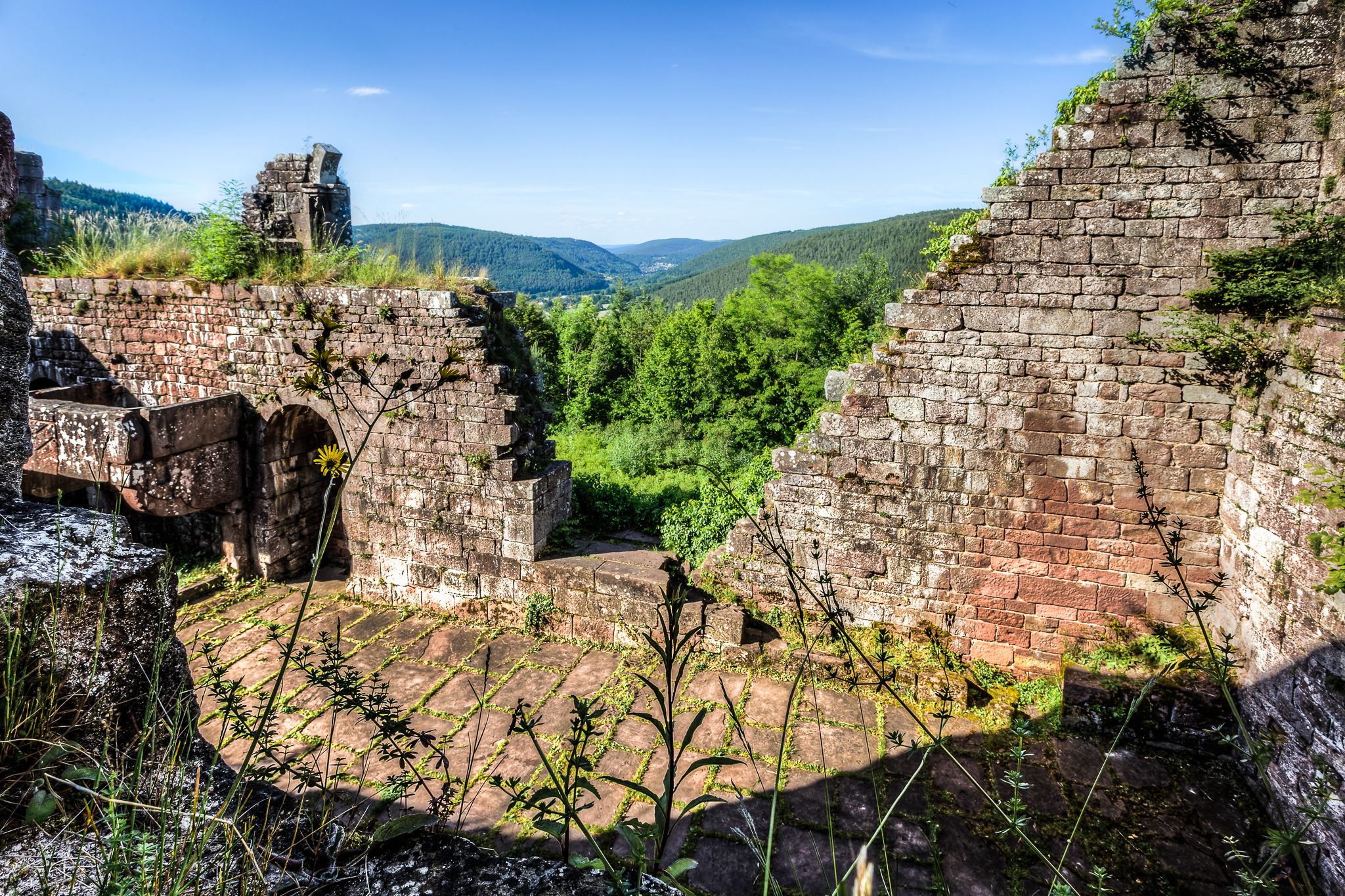
The Nibelungensteig in 7 stages – Simply legendary!

The Goldsteig – 38 stages between Upper Palatinate and Passau
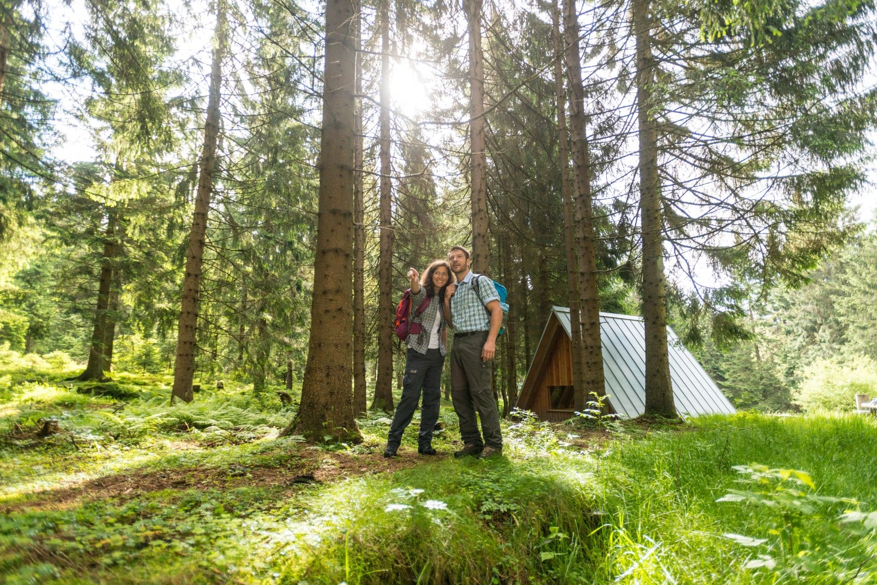
The Rennsteig — Thuringia's most beautiful hiking route
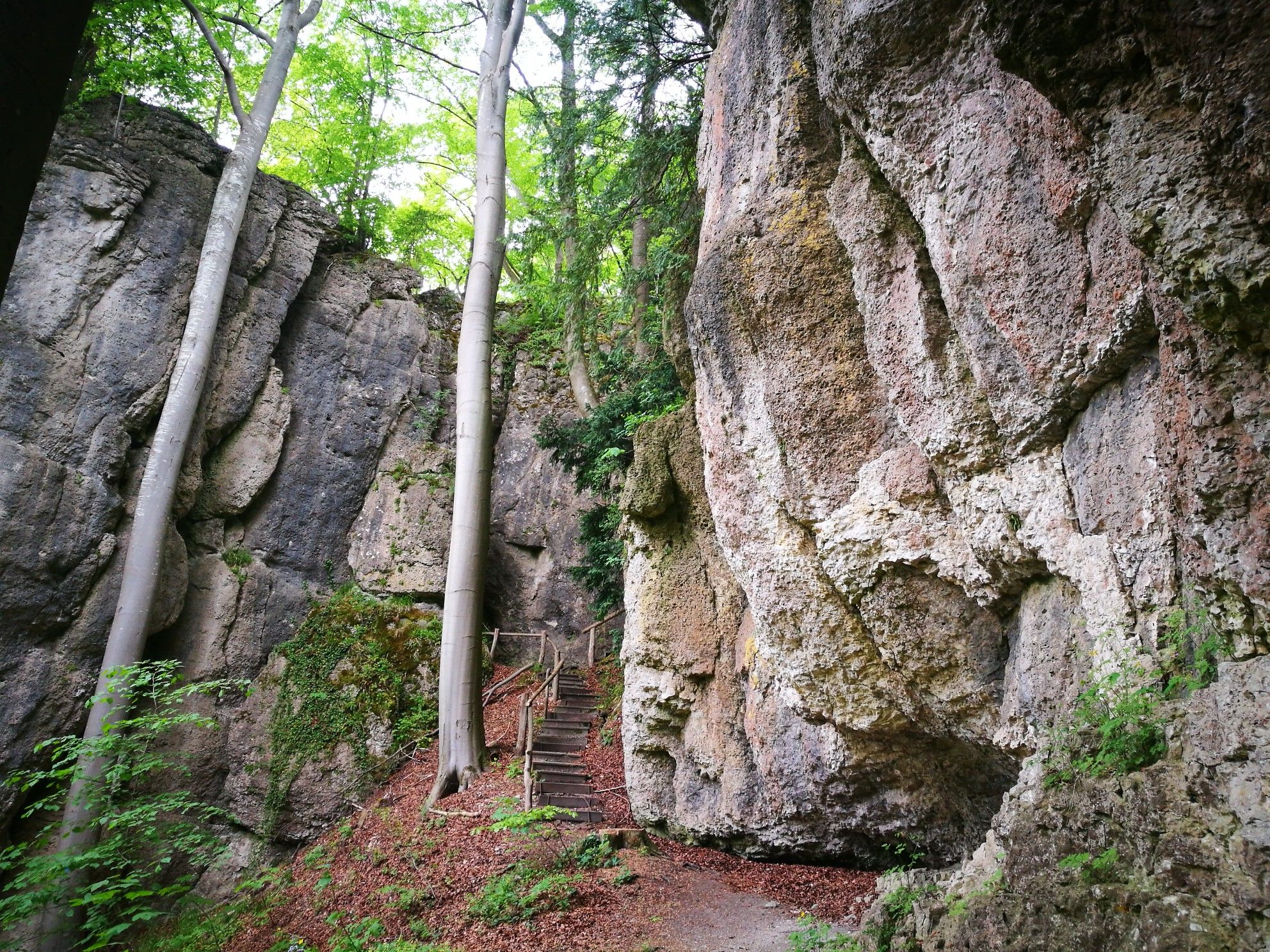
Forests, rocks and castles – 5-day circular through Franconian Switzerland
Other adventures in Franconia


Tips from the Community

We could see a lot of cotton grass in the moor and several animals besides.
0
0

First mentioned in 1360, used as a grain mill & sawmill until the 1970s
1
0
The Auer'sche Keller is a former beer cellar of a brewery
1
0

Fun and adventure for all ages. Beer and good spritzers.
3
0

The moss-covered stones lie right next to the hiking trail. A truly beautiful sight!
7
0

Klingenberg and wine belong together. Hence also the terraces for cultivation.
0
0
Path to and from the castle and the car park. You should walk slowly in the dark. But it is always interesting to park there.
2
0
On the way up to the castle, you pass this beautiful memorial plaque.
0
0
Frequently Asked Questions
How many bus station hiking trails are available in Franconia?
Franconia offers a vast network of over 45,000 hiking routes, many of which are easily accessible by bus. This guide specifically focuses on trails designed to start and end conveniently at bus stations, making car-free exploration simple.
What makes Franconia a good region for bus-accessible hiking?
Franconia's diverse landscapes, including the dramatic rock formations of Franconian Switzerland, the meandering Altmühl Valley, and the dense forests of the Franconian Forest, are well-served by public transport. This allows hikers to explore picturesque valleys, historic villages, and natural monuments without needing a car, often connecting directly to trailheads from bus stops.
Are there easy hiking trails accessible by bus in Franconia?
Yes, Franconia has numerous easy trails perfect for beginners or those seeking a relaxed walk. For example, the Schwarzes Moor Nature Trail offers a gentle, almost flat walk through a unique moor landscape, ideal for an easy outing from a bus stop.
Can I find circular hiking routes that start and end at a bus station?
Absolutely. Many bus-accessible trails in Franconia are designed as circular routes, allowing you to return to your starting point without needing a second bus connection. The Wallenstein Loop is a moderate example, offering a scenic return to its origin.
Are the bus-accessible trails in Franconia suitable for families?
Many trails are family-friendly, offering manageable distances and interesting sights. The region's varied terrain often includes gentle paths, and some routes pass by attractions like castles or natural playgrounds. The Adventure and time out at Lake Altmühlsee route is a great option for families, combining hiking with lakeside activities.
Can I bring my dog on these bus-accessible hikes?
Most hiking trails in Franconia are dog-friendly, provided dogs are kept on a leash, especially in nature reserves or near livestock. Always check local regulations for specific areas, but generally, your canine companion is welcome on bus-accessible routes.
What kind of natural attractions can I expect to see along these routes?
Franconia's bus-accessible trails lead to a wealth of natural wonders. You might encounter dramatic rock formations in Franconian Switzerland, explore gorges like the Schwarzach Gorge, or discover impressive caves such as Karl's Cave or Oswald Cave. Many routes also offer stunning views over river valleys and picturesque lakes like the Great Brombach Lake or Fichtel Lake.
Are there any historical or cultural points of interest near bus-accessible trails?
Yes, Franconia is rich in history. Many trails pass by or lead to ancient castles, ruins, and charming historic towns. The region is dotted with over 170 castles and ruins, especially in Franconian Switzerland, and the Altmühl Valley features Roman remains. The Rundwanderweg LT 1, for instance, explores historical landscapes.
What is the best time of year to go hiking from a bus station in Franconia?
Spring (April-May) offers blooming landscapes, while autumn (September-October) provides vibrant fall colors and pleasant temperatures. Summer is also popular, especially for routes near lakes or rivers. Winter hiking is possible, particularly on well-maintained paths, but some higher-altitude or less-trafficked trails might be challenging due to snow or ice.
What do other hikers say about the bus-accessible trails in Franconia?
The komoot community highly rates hiking in Franconia, with an average score of 4.58 stars from over 33,000 ratings. Reviewers often praise the region's well-marked paths, the stunning natural beauty, and the convenience of accessing diverse landscapes via public transport.
Can I find routes that include stops at local pubs or eateries?
Franconia is famous for its hospitality, especially its breweries and traditional inns. Many hiking trails, including those accessible by bus, are designed to pass through villages where you can enjoy a traditional 'Brotzeit' or local beer. The Aufseß Breweries Trail in Franconian Switzerland is a prime example, combining scenic hiking with culinary delights.
Most popular routes in Franconia
Most popular attractions in Franconia

Get inspired with the komoot mobile app


Explore more
Browse the best Hikes in other regions.
