The best hikes from bus stations in Grensmaas
4.4
(36255)
178,107
hikers
2,204
hikes
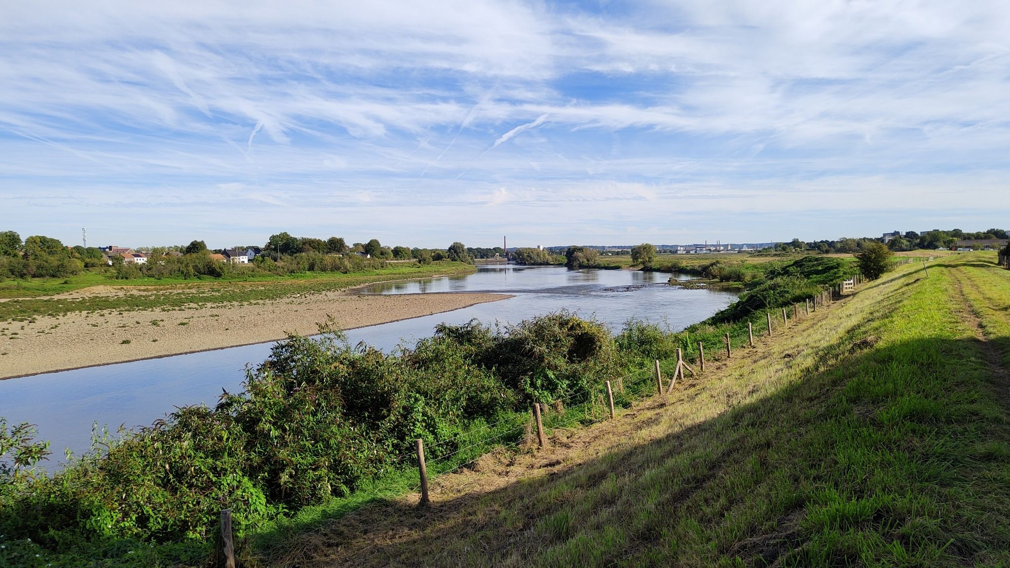
Bus station hiking trails in Grensmaas navigate a unique riverine landscape, characterized by the dynamic flow of the Meuse/Maas river and its natural gravel bottom. The region features a "heuvelland" (hilly landscape) river character, with a deeply incised riverbed nestled between higher grounds. Extensive floodplains and marsh areas, resulting from past gravel extraction, are undergoing nature restoration, contributing to a diverse ecosystem. This Natura 2000 area offers a mosaic of natural habitats, including sand and gravel banks, supporting rich biodiversity.
…Last updated: August 19, 2026
4.5
(108)
460
hikers
Moderate hike. Good fitness required. Easily-accessible paths. Suitable for all skill levels.
4.6
(23)
109
hikers
9.73km
02:29
30m
30m
Moderate hike. Good fitness required. Easily-accessible paths. Suitable for all skill levels.

Sign up for free
4.4
(22)
88
hikers
Moderate hike. Good fitness required. Easily-accessible paths. Suitable for all skill levels.
4.5
(14)
65
hikers
10.6km
02:43
40m
40m
Moderate hike. Good fitness required. Easily-accessible paths. Suitable for all skill levels.
4.5
(349)
1,052
hikers
Moderate hike. Good fitness required. Easily-accessible paths. Suitable for all skill levels.
Get access to more routes and recommendations from other explorers.
Sign up for free
Already have an account?
Our route recommendations are based on thousands of hikes, rides, and runs completed by other people on komoot.
Start today with a free account
Your next adventure awaits.
Login or Signup


Tips from the Community

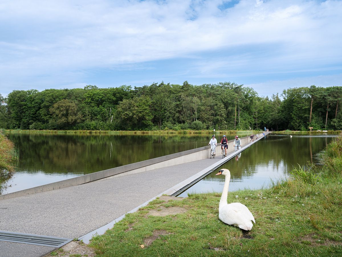
On the water surface and along the shores, mute swans, greylag geese, Canada geese, Egyptian geese, mallards, shovelers, great crested grebes, little grebes, and coots can be observed, among others. Cormorants and grey herons also use the area for foraging.
26
0
The Galloway and Konik pastures serve for the natural maintenance of the open landscape. The robust cattle and horses keep the areas open and thus contribute to the preservation of species-rich meadows and diverse habitats for plants and animals.
26
0
The "Trittsteinbrücke" consists of a series of large stone blocks that lead through the water, allowing for a special crossing. The individual stepping stones invite you to cross the small stream step by step and experience the surroundings from an unusual perspective.
9
0
The Molenplas near Ohé en Laak and Stevensweert was created by the extraction of gravel and sand. After the extraction ended, a natural area with meadows, bank zones, and diverse habitats developed around the water surface. Today, the Molenplas is part of a valuable natural area with numerous water birds and free-roaming grazing animals such as Konik horses and Galloway cattle.
35
0
The Molenplas is a former arm of the Maas, which today serves as an idyllic nature and recreation lake. Not far from the shore rises the Hompesche Mill, which was built in 1722 as the tallest tower windmill in Limburg. Together, the lake and the mill shape the landscape and are among the best-known sights in the region.
33
0

The difference in altitude between the Albert Canal and the Zuid-Willemsvaart is 20 m. It is overcome by two locks. Neerharen: single lock of 55 m x 7.50 m - fall of 8.40 m Briegden: single lock of 55 m x 7.50 m - fall of 8.79 m
3
0
As in the noble abbey at Herkenrode, in Hocht they liked to take a controversial stance with regard to the general chapter of the order at Cîteaux. The vow of poverty in Hocht no longer had to be strictly observed from the mid-13th century, and the vow of eternal chastity only applied to the abbess. The ladies could therefore leave and marry. In 1623, by order of the general abbot of the order of Cîteaux, a wall had to be built around the monastery to prevent the religious from associating with men.
3
0

At the visitor center, you can get a lot of information about the area. On top of the building, there is a viewpoint over the surroundings.
0
0
Frequently Asked Questions
How many bus station hiking trails are available in Grensmaas?
Grensmaas offers nearly 2000 hiking trails accessible from bus stations, catering to all levels. You'll find a wide selection, with over 1200 easy routes, more than 650 moderate options, and around 65 challenging trails.
What makes hiking in Grensmaas unique, especially from bus stations?
Hiking in Grensmaas offers a unique experience due to its dynamic riverine landscape. It's the only river in the Netherlands with a natural gravel bottom, creating constantly evolving sand and gravel banks. The region is a Natura 2000 area, rich in biodiversity, and many routes allow for cross-border exploration into Belgium, all easily reachable by public transport.
Are there any family-friendly hiking trails accessible by bus in Grensmaas?
Yes, many trails in Grensmaas are suitable for families. The region's generally gentle terrain and diverse landscapes, including floodplains and river dunes, offer engaging walks for all ages. Look for routes marked as 'easy' for the most family-friendly options.
Can I bring my dog on the bus station hiking trails in Grensmaas?
Grensmaas is generally dog-friendly, with many trails welcoming leashed dogs. The varied landscapes, from riverbanks to floodplains, provide excellent opportunities for walks with your canine companion. Always check local signage for any specific restrictions in nature reserves or protected areas.
What kind of natural features or landmarks can I expect to see along these bus-accessible routes?
Along the bus-accessible routes, you can expect to encounter the unique gravel riverbed of the Meuse, extensive floodplains, and diverse wetland mosaics. Keep an eye out for natural grazers like Konik horses and cattle. You might also spot historical traces of human interaction with the river. Specific highlights include the River Park Meuse Valley itself, and various ferry crossings like the Berg–Meeswijk Ferry.
Are there any circular hiking routes starting from bus stops in Grensmaas?
Yes, Grensmaas offers several excellent circular routes that are easily accessible from bus stops. For example, the Oude Maas near Stokkem – Old Meuse Meander at Stokkem loop from Berg aan de Maas is a moderate 14.7 km circular hike. Another great option is the Stepping Stone Bridge – Molenplas Viewing Platform loop from Stevensweert, which covers 10.5 km.
What is the best time of year to hike the bus-accessible trails in Grensmaas?
Grensmaas is beautiful year-round, but spring and autumn offer particularly pleasant hiking conditions with mild temperatures and vibrant natural colors. Summer is also popular, though it can be warmer. Winter hiking is possible, offering a different, serene perspective of the river landscape, but be prepared for potentially muddy paths.
Are there any cafes or places to eat near the bus station hiking trails?
Yes, many villages and towns along the Grensmaas, which serve as bus stops and trailheads, offer cafes, restaurants, and pubs. These provide convenient spots for refreshments before or after your hike. For instance, routes starting from Maaseik or Berg aan de Maas will have amenities nearby.
What do other hikers enjoy most about hiking in Grensmaas?
The komoot community highly rates hiking in Grensmaas, with an average score of 4.4 stars. Hikers frequently praise the tranquil river landscapes, the unique gravel banks, and the rich biodiversity. The well-maintained paths and the opportunity for cross-border exploration are also often highlighted as favorite aspects.
Are there any shorter, easier routes for beginners or those looking for a quick walk?
Absolutely. Grensmaas has numerous easy and shorter trails perfect for beginners or a relaxed outing. An example is the Griend Path – Maas Bridge loop from Maaseik, a moderate 8.8 km route that offers beautiful river views without significant elevation gain. Another good choice is the Sint-Annakerk Aldeneik – Herenlaak Lake loop from Maaseik, which is 8.1 km.
How can I find routes that offer good viewpoints along the Grensmaas?
Many trails along the Grensmaas naturally offer excellent viewpoints of the river and its floodplains. The dynamic nature of the river means views are constantly changing. Look for routes that follow the riverbanks closely or pass through areas like the Molenplas. The 't Schoar Observation Platform is also a notable spot for panoramic views.
Most popular routes in Grensmaas
Most popular attractions in Grensmaas

Get inspired with the komoot mobile app


Explore more
Browse the best Hikes in other regions.
