The best mountain hikes in Grensmaas
4.6
(7)
15
hikers
4
hikes
Mountaineering in Grensmaas offers routes through a landscape characterized by historical fortifications, former quarry sites, and gently rolling hills. The region features a mix of natural and man-made elevations, including terrils (spoil tips) that provide unique viewpoints. These routes often traverse open fields, wooded sections, and riverine areas, offering varied terrain for exploration.
Best mountaineering routes in Grensmaas
- The most popular mountaineering route is Fort Sint Pieter – Château Neercanne loop from Maastricht, a 10.4 miles (16.7 km) trail…
Last updated: August 15, 2026
4.0
(2)
7
hikers
16.5km
04:33
270m
280m
Hard mountaineering route. Good fitness required. Sure-footedness, sturdy shoes and alpine experience required.
1
hikers
7.02km
01:54
100m
100m
Easy mountaineering route. Great for any fitness level. Easily-accessible paths. Suitable for all skill levels.

Sign up for free
4.8
(4)
5
hikers
12.4km
03:19
140m
140m
Moderate mountaineering route. Good fitness required. Easily-accessible paths. Suitable for all skill levels.
5.0
(1)
1
hikers
7.62km
02:01
80m
80m
Moderate mountaineering route. Good fitness required. Easily-accessible paths. Suitable for all skill levels.
1
hikers
10.9km
03:03
190m
190m
Moderate mountaineering route. Good fitness required. Easily-accessible paths. Suitable for all skill levels.
Our route recommendations are based on thousands of hikes, rides, and runs completed by other people on komoot.
Start today with a free account
Your next adventure awaits.
Login or Signup
Popular around Grensmaas
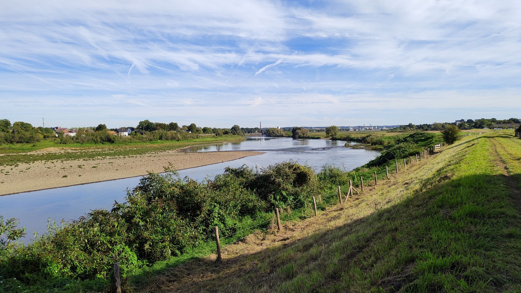
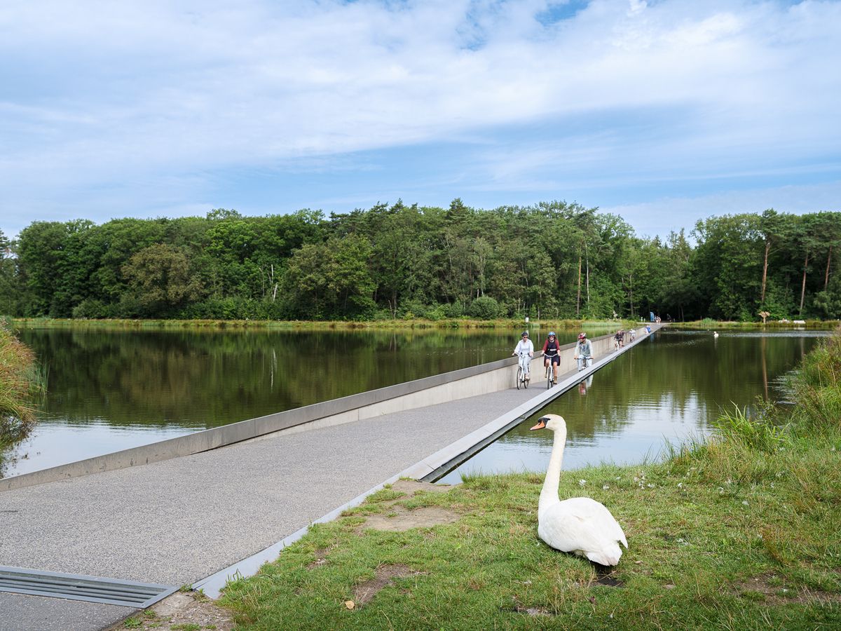
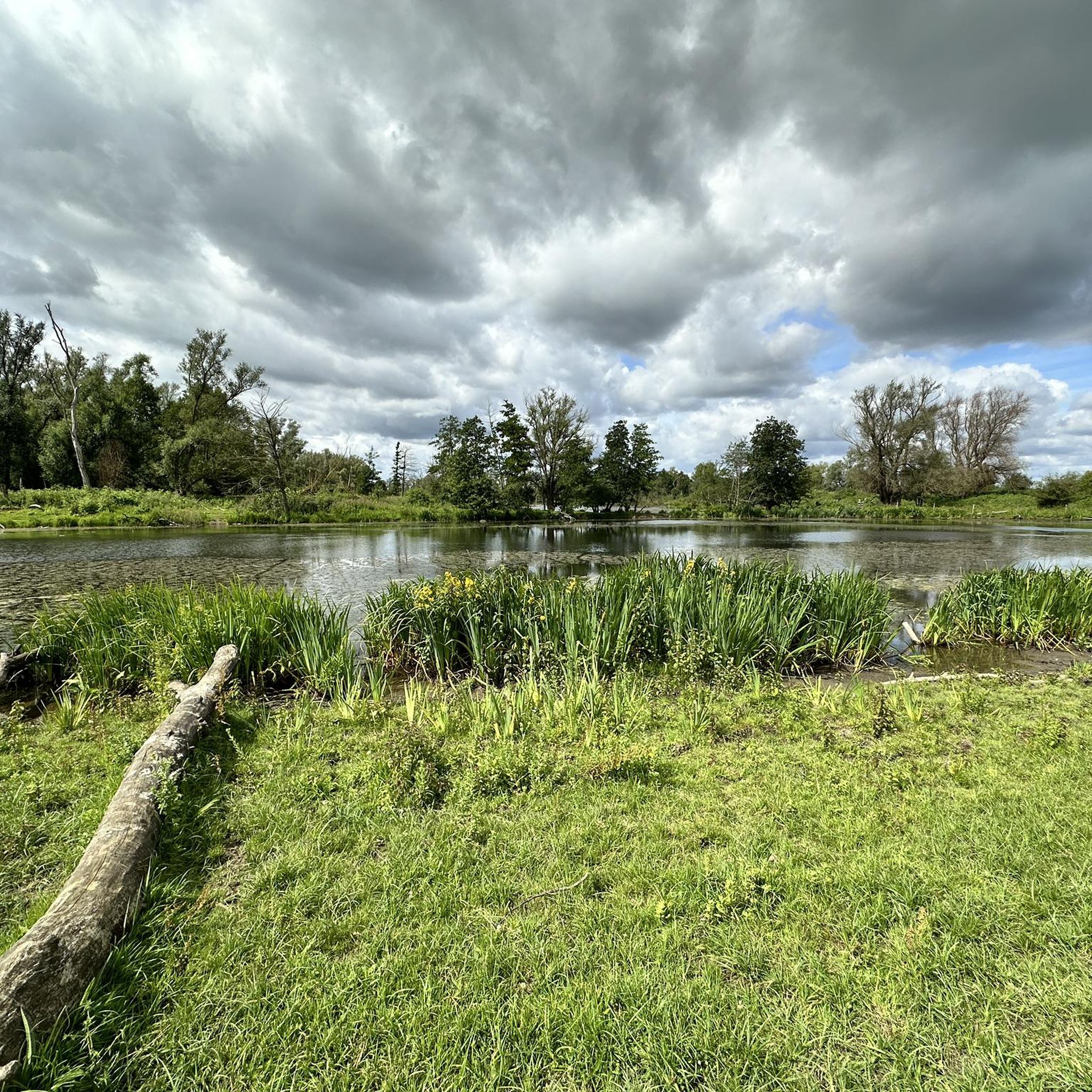
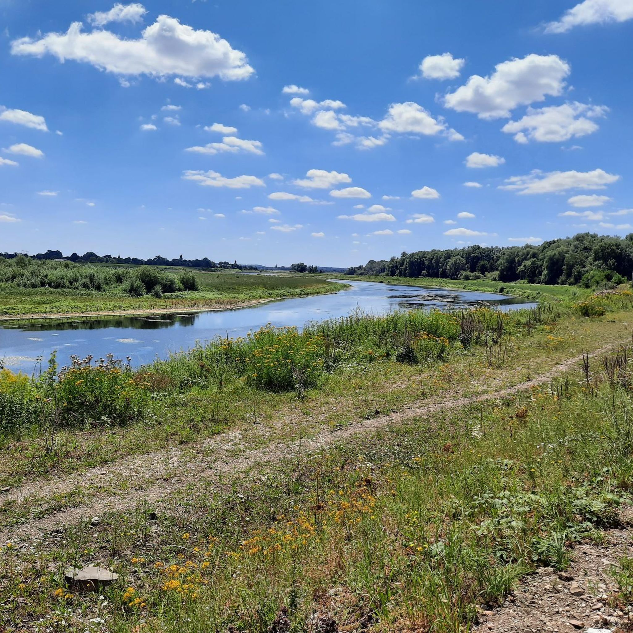
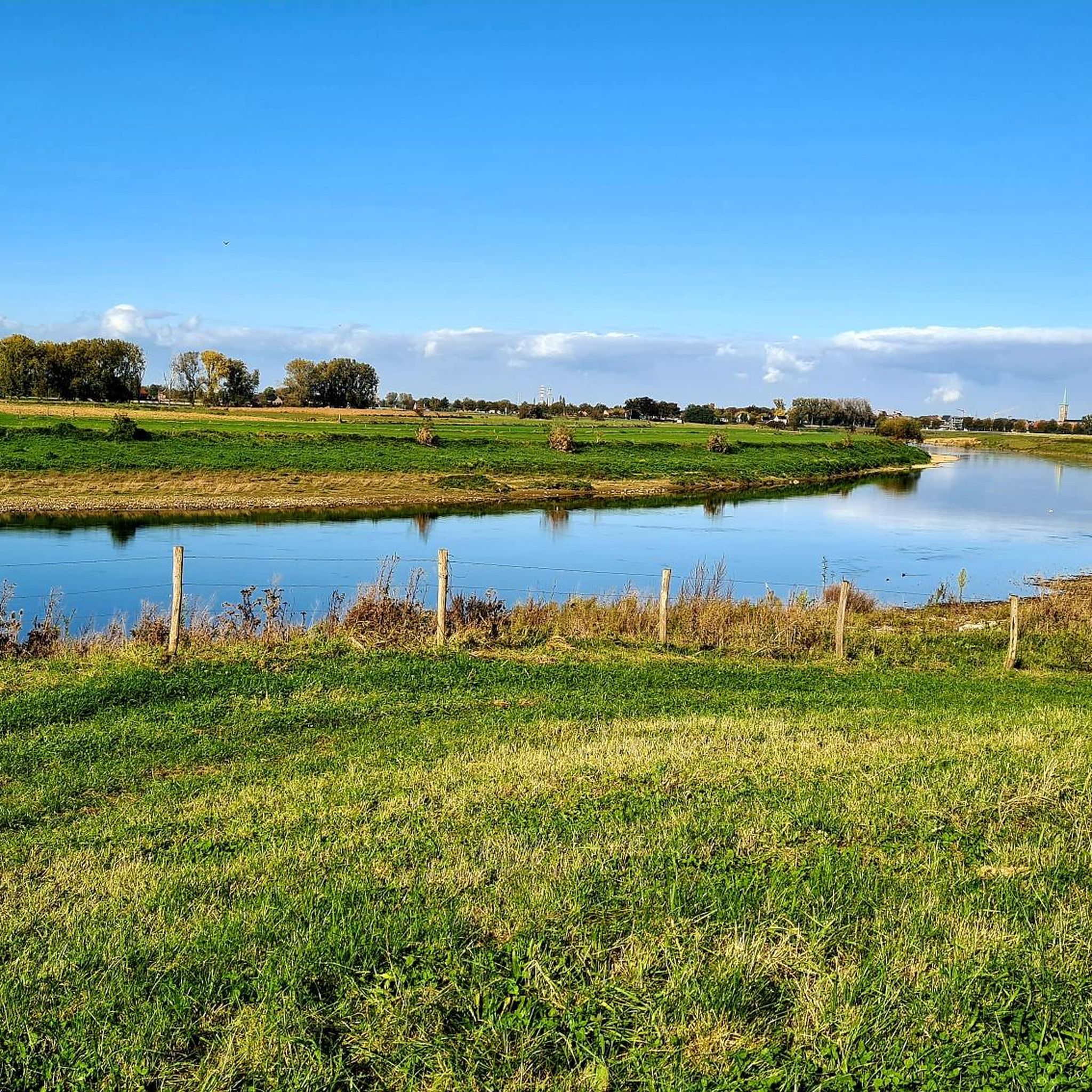
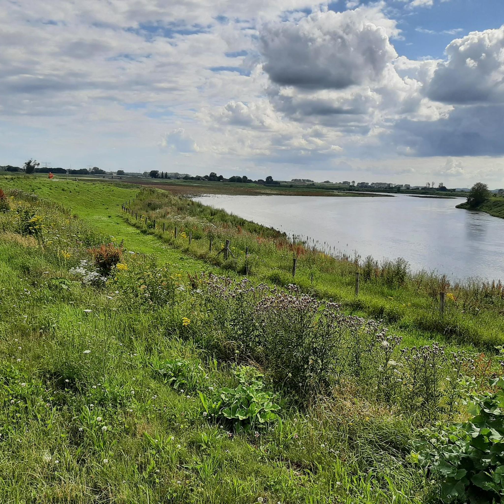
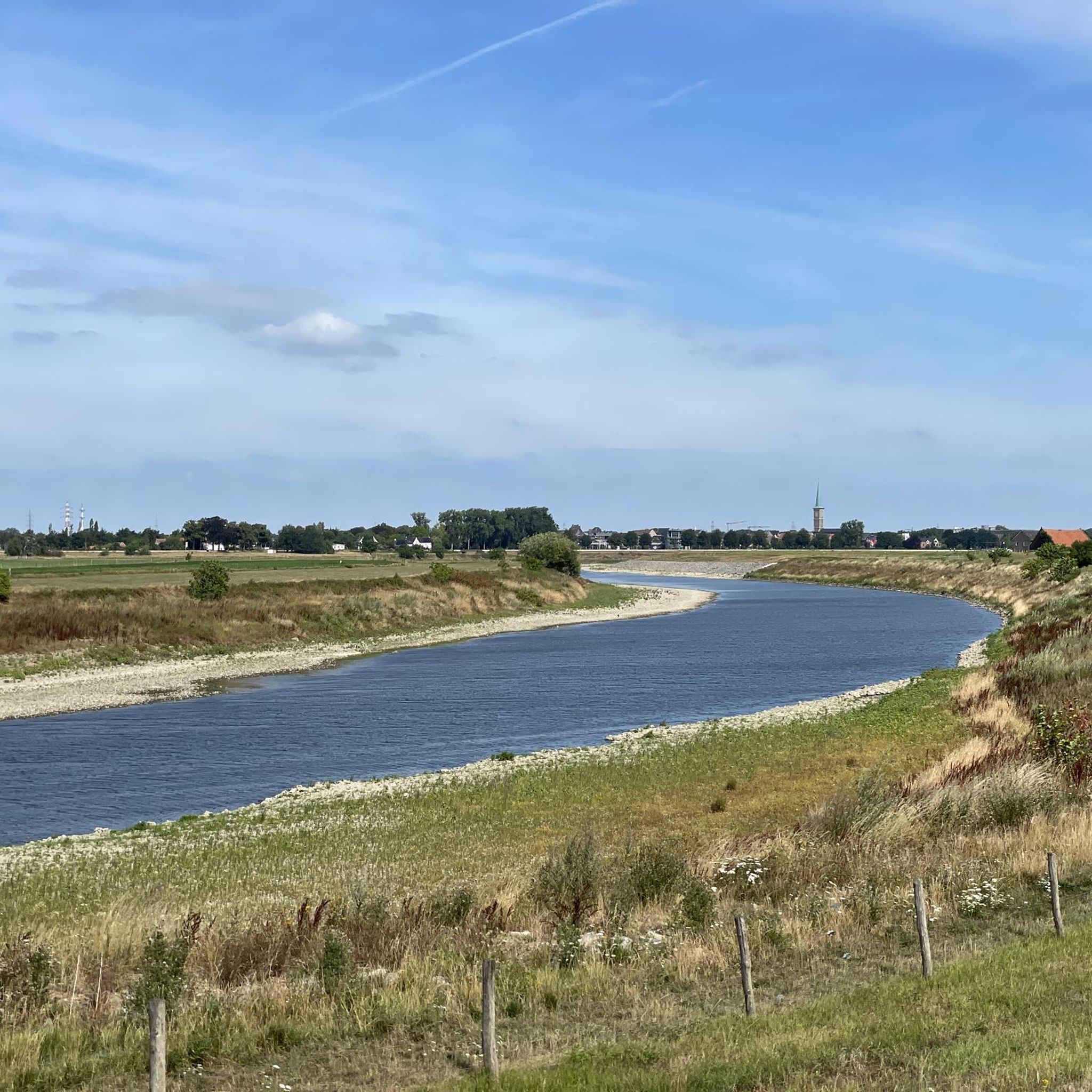
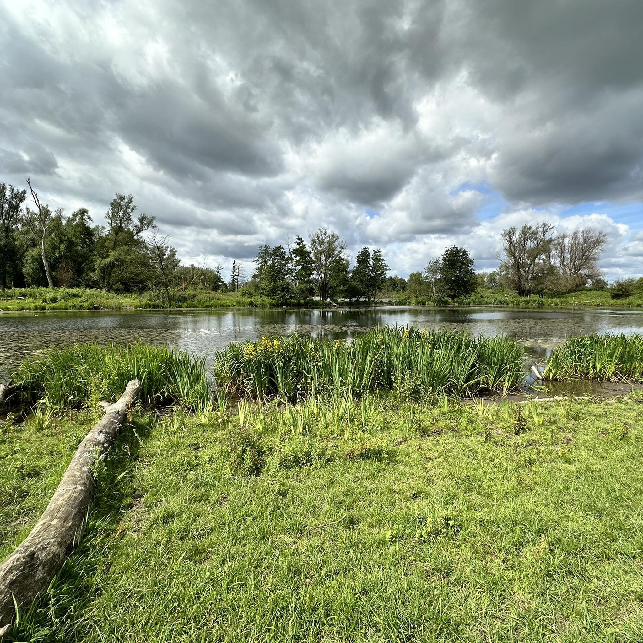


Tips from the Community

Sint-Pietersberg offers a unique mosaic of open chalk grasslands and light-permeable forests, worth visiting for every nature lover. On the 'Sint-Pietersberg' you will feel like you are in a foreign country. Where else can you find such beautiful hills and such a special marl landscape? The Plateau of Caestert consists of valuable slope forests and chalk grasslands, a rare biotope in Flanders. Beneath the forests and grasslands are unique marl quarries, which form a true paradise for a dozen species of bats.
3
0
The Neercanne castle is built on the original site of Roman fortifications whose caves still exist and are used as a wine cellar. In the hall, the original staircase with a railing on wide columns is still present. Weapon trophies are depicted in relief on the ceiling. Currently, the castle is used as a hotel and restaurant. The restaurant has been awarded one star by the Michelin Guide.
5
0
This seems to me more like a depot or loading and unloading area (or something else) than a mine entrance, because I don't think horizontal mine entrances ever existed in Limburg, at least not for the coal mines. You could only go down through the shafts.
5
0

Very challenging and very steep. Be careful here. There is a rope, best to use it.
1
0

Hidden among the greenery of Hoge Kempen National Park lies a silent witness to the past: an old mine entrance. This entrance recalls the time when coal was mined deep underground here—the black gold that made the Limburg region bustle with activity for decades. What was once a place of hard labor, dust, and noise has now been replaced by tranquility and nature. The surrounding forests and hills have reclaimed the land, but the contours of the mining past remain visible in the landscape. The weathered brick gates and the occasional palpable cooler air at the entrance evoke images of the miners who descended here day in, day out. Today, this place stands as an impressive historical monument within the nature park. A reminder of human resilience and of the transformation from industry to nature.
2
0
Keienstrand lies on the shore of a clear lake in the Hoge Kempen National Park. This spot has a primal quality: large, rounded stones lie scattered along the water's edge, the wind gently blowing across the surface. It's a place that invites peace and reflection… where you can sit for a moment, listening to the lapping of the water and observing the play of light and shadow on the stones. The stones are a reminder of the geological history of this landscape, shaped by gravel extraction and nature restoration. Now, Keienstrand is a haven for both people and animals: dragonflies buzz above the water, birds skim low over the shore, and the scent of pine fills the air.
4
0

There are old flint quarries in this area: the “Carrières de silex du Thier des Vignes”.
1
0
It's a small but valuable reserve consisting of calcareous grasslands, scrub, and former quarry and slope areas. Thanks to the calcareous soil, rare plants such as orchids and thyme thrive here, and butterflies and insects abound. It's a quiet, sunny spot where nature has slowly reclaimed the old quarry slopes.
1
0
Frequently Asked Questions
Are there easy mountaineering routes in Grensmaas suitable for beginners?
Yes, Grensmaas offers routes suitable for beginners. For example, the Fort Sint Pieter – ENCI Quarry Viewpoint loop from Maastricht is an easy 4.4-mile (7.1 km) path that provides insights into the region's industrial heritage.
What kind of challenges can I expect on more difficult mountaineering routes in Grensmaas?
More difficult routes in Grensmaas typically involve longer distances and more elevation gain. The Fort Sint Pieter – Château Neercanne loop from Maastricht is a challenging 10.4-mile (16.7 km) route that explores historical forts and châteaux, offering panoramic views.
Are there family-friendly mountaineering options in Grensmaas?
For families seeking a less strenuous experience, routes like the Fort Sint Pieter – ENCI Quarry Viewpoint loop from Maastricht are suitable. These paths are generally shorter and have less elevation change, making them enjoyable for various age groups.
What unique geological features can be seen along mountaineering routes in Grensmaas?
Grensmaas is known for its unique geological features, including terrils (spoil tips from mining) and former quarry sites. The View from Tweelingterril – View of Lange Terril loop from Eisden is a great example, leading through these distinctive terril landscapes.
Are there any circular mountaineering routes in Grensmaas?
Yes, all the mountaineering routes highlighted in Grensmaas are circular, allowing you to start and end at the same point. This includes routes like the Terborgh Castle – Slakweg Climb loop from Geleen and the Fort Eben-Emael – View of the Lanaye Locks loop from Eben-Emael.
What is the best time of year for mountaineering in Grensmaas?
The region's routes are generally accessible throughout much of the year. Spring and autumn offer pleasant temperatures and vibrant scenery. While winter mountaineering is possible, be prepared for potentially muddy conditions and shorter daylight hours.
What kind of historical sites can I discover while mountaineering in Grensmaas?
Grensmaas is rich in history. Many routes traverse areas with historical fortifications and châteaux. The Fort Sint Pieter – Château Neercanne loop from Maastricht is an excellent choice for exploring these historical landmarks.
What do other mountaineers enjoy most about the routes in Grensmaas?
The routes in Grensmaas are highly rated by the komoot community, with an average score of 4.6 stars from 7 reviews. Reviewers often praise the varied terrain, which includes a mix of open fields, wooded sections, and riverine areas, as well as the unique historical and geological points of interest.
Are there any interesting landmarks or attractions near the mountaineering routes?
Yes, the Grensmaas region offers several interesting landmarks. You can find highlights such as the Maas River Dike Cycling Path, the River Park Meuse Valley, and various ferries like the Berg–Meeswijk Ferry, which add to the regional experience.
How many mountaineering routes are available in Grensmaas?
There are several mountaineering routes available in Grensmaas, offering a range of difficulties and lengths. The komoot community has explored at least 4 distinct routes in the region, with options for easy, moderate, and difficult ascents.
What should I wear for mountaineering in Grensmaas?
Given the varied terrain and potential for changing weather, it's advisable to wear sturdy hiking boots, layered clothing suitable for the season, and waterproof outerwear. Bringing water, snacks, and a map or GPS device is also recommended for a safe and enjoyable experience.
Most popular routes in Grensmaas
Most popular attractions in Grensmaas

Get inspired with the komoot mobile app


