The best traffic-free bike rides in Forêt Communale De Saint-Dié-Des-Vosges
4.5
(235)
2,120
riders
77
rides
No traffic touring cycling routes in Forêt Communale De Saint-Dié-Des-Vosges traverse a landscape characterized by dense woods, varied elevations, and significant water resources. The region encompasses five distinct massifs, including la Bure, l'Ormont, and le Kemberg, offering diverse terrain. Cyclists encounter extensive forest paths, ranging from mostly paved surfaces suitable for touring to unpaved segments, with routes often featuring gradual climbs and notable ascents. This area is also a natural water reserve, with numerous streams and picturesque waterfalls.
Best no…
Last updated: October 23, 2026
4.2
(9)
79
riders
25.6km
02:05
580m
580m
Hard bike ride. Very good fitness required. Mostly paved surfaces. Suitable for all skill levels.
4
riders
24.2km
01:59
440m
440m
Moderate bike ride. Good fitness required. Mostly paved surfaces. Suitable for all skill levels.

49
riders
Hard bike ride. Very good fitness required. Mostly paved surfaces. Suitable for all skill levels.
5.0
(3)
19
riders
Hard bike ride. Very good fitness required. Mostly paved surfaces. Suitable for all skill levels.
7
riders
69.5km
04:43
1,140m
1,140m
Hard bike ride. Very good fitness required. Mostly paved surfaces. Suitable for all skill levels.
Get access to more routes and recommendations from other explorers.
Already have an account?
Our route recommendations are based on thousands of hikes, rides, and runs completed by other people on komoot.
Start today with a free account
Your next adventure awaits.
Popular around Forêt Communale De Saint-Dié-Des-Vosges
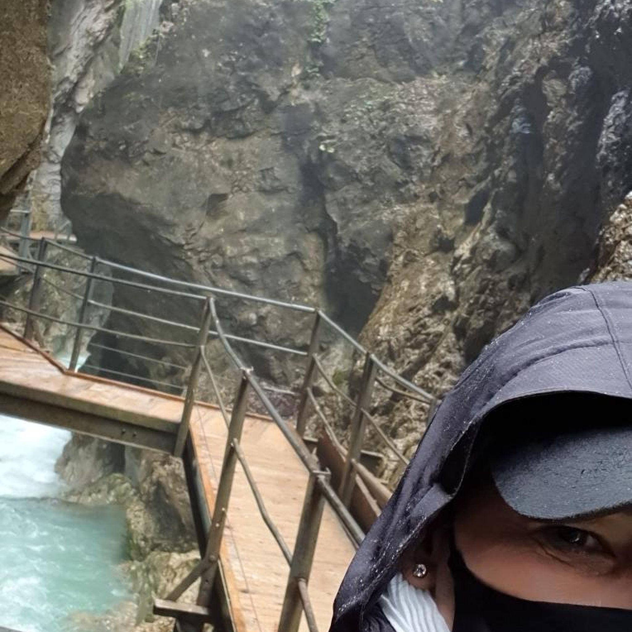
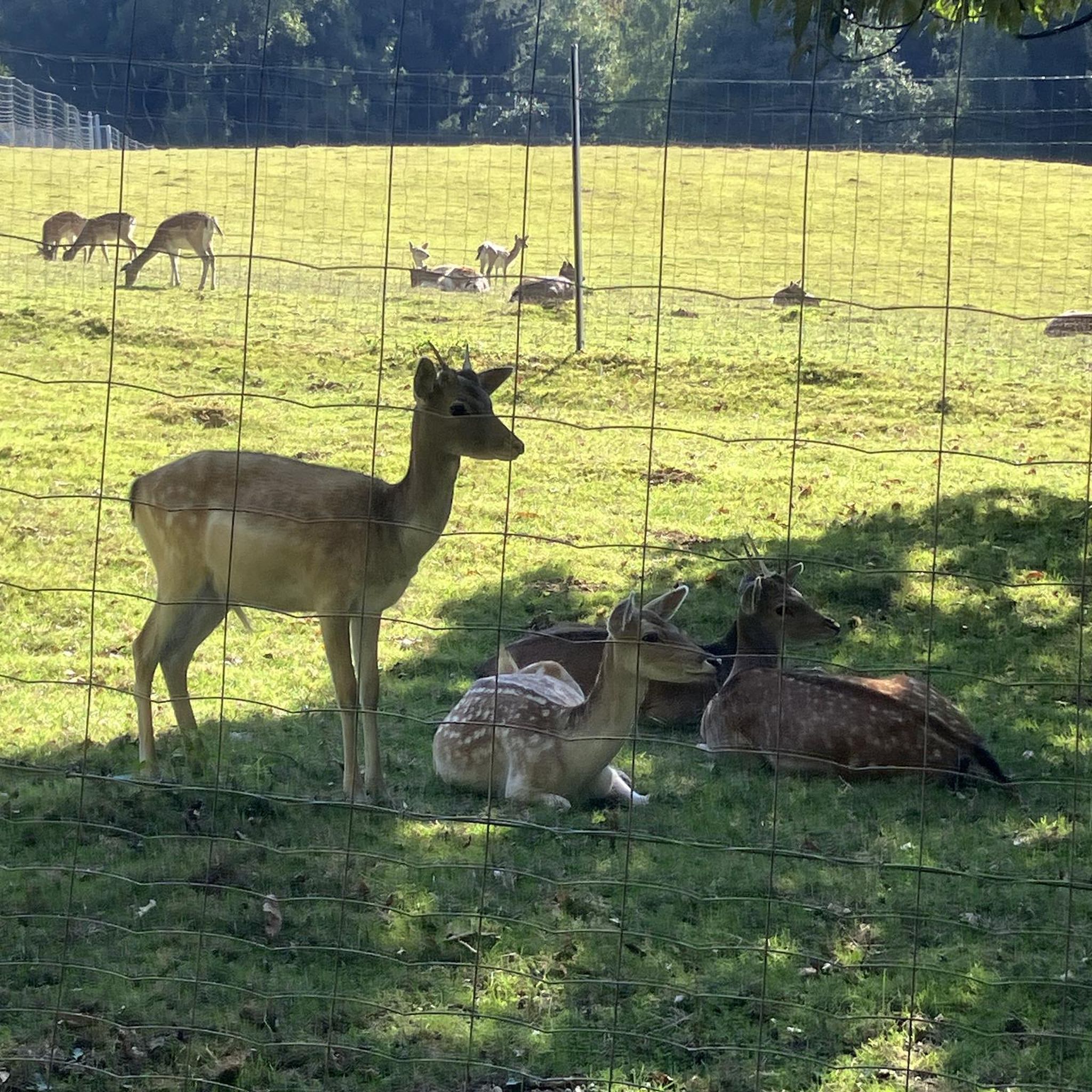
Tips from the Community

Tête de Répy is one of the many wooded peaks in the Madeleine massif. Well known to hikers, it offers beautiful views over the Meurthe valley and the Vosges mountains.
0
0


Historic village in the Vosges Ban-de-Sapt is located on a strategic height in the Vosges and was the scene of fierce fighting during WWI, especially around the côte 627. Today it is a peaceful place with a rich culture of remembrance. The Nécropole nationale de la Fontenelle, original trenches, a panoramic table and a rare steel observation capsule from WWI make the village a unique destination for those who want to combine nature and history.
7
0
This military cemetery at the top of Côte 627 commemorates the fierce battles of 1915 between French and German troops in the Vosges. The necropolis was built between 1921 and 1923 and contains 2,346 graves, 1,382 of which are in ossuaries. At its heart is a monumental memorial – a “phare” or lighthouse – designed by Émile Bachelet, visible from the entire valley. The site was strategically crucial: on 22 June 1915, German troops took the heights, but on 8 and 9 July the French recaptured the terrain.
8
0
This granite memorial stone marks the exact location of the Western Front on 18 July 1918, during the final Allied offensives of the First World War. It is part of a series of 118 "Bornes du Front" designed by French sculptor and veteran Paul Moreau-Vauthier. Each stone bears a helmet on a laurel wreath and commemorates fierce fighting at that location. The borne at La Fontenelle commemorates the fierce battle in the Vosges, where French and German troops fought each other for a long time.
9
0

A special place! The hut offers space for a picnic or even a bivouac for the night. It's very peaceful, and you can feel the positive energy that prevails here. Unfortunately, the well next to it is no longer working, otherwise this would be a jackpot ;)
0
0
Frequently Asked Questions
How many no-traffic touring cycling routes are available in Forêt Communale De Saint-Dié-Des-Vosges?
There are over 70 dedicated no-traffic touring cycling routes in Forêt Communale De Saint-Dié-Des-Vosges, offering a wide range of options for all skill levels. This includes 9 easy routes, 32 moderate routes, and 32 difficult routes, ensuring a suitable ride for every cyclist.
What kind of terrain can I expect on these traffic-free cycling routes?
The routes in Forêt Communale De Saint-Dié-Des-Vosges offer varied terrain, from mostly paved surfaces ideal for touring to unpaved segments for a more rugged experience. You'll find routes with gradual climbs and significant ascents, providing diverse scenic experiences through dense fir forests and along forest paths.
Are there any easy, family-friendly no-traffic cycling routes?
Yes, there are several easy routes suitable for families. One excellent option is the Liberty Tower – View of the Rolling Hills loop from Saint-Dié-des-Vosges, which is 20.8 km long with a manageable elevation gain of 146 meters. The "Tour du Kemberg" is also noted for its well-shaded, wide paths, making it suitable for a moderate family ride.
Where can I find panoramic views along the no-traffic cycling routes?
Many cycling routes in the Forêt Communale de Saint-Dié-des-Vosges offer panoramic viewpoints. You can expect stunning vistas overlooking Saint-Dié-des-Vosges and Saint-Michel-sur-Meurthe. The Massif du Kemberg is a well-known natural landmark that provides excellent views.
Are there any routes that feature waterfalls or natural water features?
Yes, the forest is rich in water resources, with numerous streams and picturesque waterfalls. The Cascade des Molières – Liberty Tower loop from Saint-Dié-des-Vosges is a challenging 30.3 km route that will take you past the beautiful Cascade des Molières.
What are some notable landmarks or attractions I can see while cycling?
Beyond the natural beauty, you can encounter distinctive rock formations like the "Roches des Fées" and "Crow Rocks." Routes may also incorporate cultural attractions such as the Abbaye Notre-Dame d'Autrey or the Usine Le Corbusier. The Liberty Tower is also a prominent feature on some routes, such as the Liberty Tower – View of the Rolling Hills loop.
What is the best time of year to cycle in Forêt Communale De Saint-Dié-Des-Vosges?
The Forêt Communale de Saint-Dié-des-Vosges is enjoyable for cycling throughout much of the year. Spring and autumn offer pleasant temperatures and beautiful foliage. Summer provides warm weather, but the dense forest environment ensures plenty of shade, making it comfortable even on hotter days. Always check local weather forecasts before heading out.
Are there any challenging no-traffic routes for experienced touring cyclists?
Absolutely. For experienced riders seeking a challenge, routes like the Bike loop from Massif du Kemberg offer a difficult 25.6 km ride with over 580 meters of elevation gain. The Cascade des Molières – Liberty Tower loop is another demanding option, covering 30.3 km with 774 meters of ascent.
How well-regarded are the no-traffic cycling routes in this region?
The no-traffic cycling routes in Forêt Communale De Saint-Dié-Des-Vosges are highly regarded by the komoot community, with an average rating of 4.5 out of 5 stars from over 220 reviews. Cyclists often praise the tranquility of the forest paths, the diverse terrain, and the stunning panoramic views.
Is there public transport access to the no-traffic cycling routes?
While many routes start from towns like Saint-Dié-des-Vosges or Saint-Michel-sur-Meurthe, which may have public transport connections, direct access to the forest paths themselves often requires a short ride from these hubs. It's advisable to check local bus or train schedules for connections to the starting points of your chosen routes.
Where can I park my car to access these traffic-free cycling routes?
Many of the routes start from or pass through towns like Saint-Dié-des-Vosges and Saint-Michel-sur-Meurthe, where public parking is generally available. Specific starting points for routes, such as those near La Bolle or the Massif du Kemberg, often have designated parking areas for outdoor enthusiasts. Always look for local signage for parking information.
Are there any circular no-traffic cycling routes available?
Yes, the majority of the touring cycling routes in Forêt Communale De Saint-Dié-Des-Vosges are designed as loops, allowing you to start and finish at the same point. Examples include the Bike loop from Saint-Michel-sur-Meurthe and the Bike loop from Saint-Dié-des-Vosges, providing convenient options for your ride.
Most popular routes in Forêt Communale De Saint-Dié-Des-Vosges

Get inspired with the komoot mobile app


Explore more
Browse the best Cycling routes in other regions.
