Top 20 Natural Monuments around Rettershain
Best natural monuments around Rettershain are found within the scenic Rhein-Lahn district of Rhineland-Palatinate, Germany. This region features a landscape of hills, forests, and river valleys, characteristic of the Westerwald and the Middle Rhine Valley. The area is known for its diverse natural beauty and geological formations, offering various natural attractions. Visitors can explore significant natural landmarks and geological sites in the vicinity.
Best natural monuments around Rettershain
- The most popular natural monument is View of the Loreley Rock, a viewpoint that offers panoramic views of the Rhine River. This 132 meter high slate rock is a significant natural landmark in the wider area, situated in the Middle Rhine Valley.
- Another must-see spot is Spitzenstein Observation Tower, a viewpoint offering extensive views. This modern observation tower provides a wide perspective of the surrounding landscape and features a replica of a Napoleonic wink telegraph.
- Visitors also love Felsenkanzel Viewpoint Overlooking the Rhine and the Loreley, a viewpoint with a steep descent to a rock pulpit. It offers views along the Rhine towards Oberwesel and the Loreley rock.
- Rettershain is known for impressive rock formations, ancient volcanic landscapes, and old-growth trees. The region offers a variety of natural monuments to see and explore, including slate rocks, basalt cones, and unique maars.
- The natural monuments around Rettershain are appreciated by the komoot community, with more than 4000 upvotes and over 900 photos shared by visitors.
Last updated: June 24, 2026
View of the Loreley Rock
Highlight • Viewpoint
Translated by Google •
Tip by

Loreley Statue on the Rhine
Highlight • Monument
The Middle Rhine river bed, which is still 300 meters wide above the Kammereck, is narrowed to 145 meters by the rock barriers just above the Loreley, at the Betteck. At the Loreley itself, the Rhine was 160 meters wide and up to 25 meters deep. These are the narrowest and deepest parts of the Rhine in its navigable section. On the other hand, the two river banks directly downstream, at the Loreley harbor, diverge like a trough for a short stretch of up to 400 meters. At Sankt Goar and Sankt Goarshausen the stream is usually 250 meters wide. The Rhine winds through the rock massif in tight curves. Because of these very tight curves and strong currents, navigation on the Rhine from the Bankeck in Sankt Goar to Oberwesel is regulated by light signals.
Translated by Google •
Tip by

Sign up now to discover places like this
Get recommendations on the best single tracks, peaks, & plenty of other exciting outdoor places.
Sign up for free
View of the Loreley from Maria Ruh
Highlight • Viewpoint
Translated by Google •
Tip by

Spitzenstein Observation Tower
Highlight • Viewpoint
History / wing telegraph
Optical telegraphy for the transmission of messages according to the Chappe system. The French technician Claude Chappe developed at the time of the French. Revolution a technically feasible optical telegraph device based on the transmission of characters with the aid of pivoting signal arms. A swiveling crossbeam was attached to a high mast with two further swiveling bars at each end, so that different letters could be signaled with a code depending on the position. The telegraph stations were located between nine and twelve kilometers apart, depending on the nature of the terrain, so that the signs could be clearly seen with a telescope. Napoleon Bonaparte used this flexible and fast system to communicate with the various troops and probably also to organize the entire Rhine province. In 1794 a telegraph line was set up between Paris and Lille, which spanned 270 km with 22 stations. The transmission time of a letter or a coded message took about 2 minutes! Source: Text information board - Hubertus Jäckel dipl.-ing. architect bda bwd
Spitzer Stein viewpoint
Wing telegraph
Optical telegraph for the transmission of messages. System / Sign System Chappe - Each of the two signal arms could assume seven different positions, the crossbars two more each. The system thus enabled 196 different characters. Source: Text information board - Hubertus Jäckel dipl.-ing. architect bda bwd
Translated by Google •
Tip by

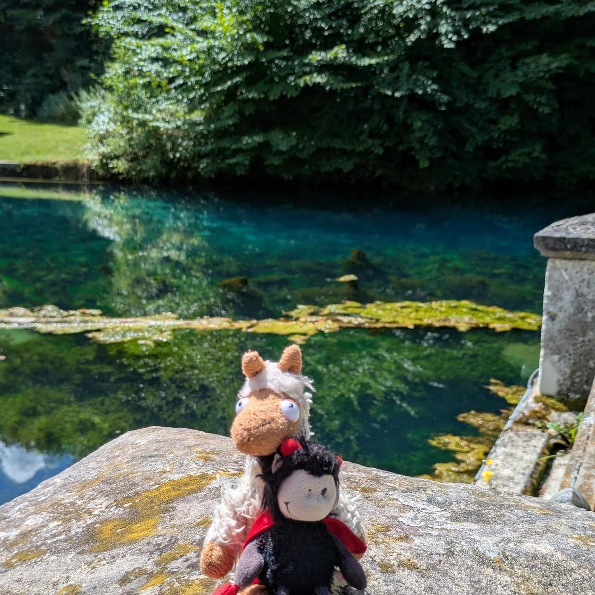
Werkerbrunnen
Highlight • Natural Monument
Small signs everywhere warn of CO2 emissions in the well system. So one should be careful when going down the stairs to the fountain.
The well house is very well ventilated, you should be careful when you lean over the two well basins. If you look closely, you can see the CO2 escape (bubble formation).
Translated by Google •
Tip by

Sign up for free to discover even more natural monuments around Rettershain.
Sign up for free
Already have an account?
Start today with a free account
Your next adventure awaits.
Login or Signup
Tips from the Community

The wing telegraph has been broken for some time and can no longer be adjusted.
6
1

Willi and Ernst also visited the tower: https://youtu.be/rucqpJBsFV8?si=FuZ2WGdvcd_k7GS3.
2
1

Nice rest area in the cool shade before a steep climb. Gather strength.
3
1

Again a beautiful point, with many opportunities for a beautiful photo.
8
0

There is really a great view at every point here, with the most beautiful photo motifs.
9
0

Spitzer Stein viewpoint History / wing telegraph Optical telegraphy for the transmission of messages according to the Chappe system. The French technician Claude Chappe developed at the time of the French. Revolution a technically feasible optical telegraph device based on the transmission of characters with the aid of pivoting signal arms. A swiveling crossbeam was attached to a high mast with two further swiveling bars at each end, so that different letters could be signaled with a code depending on the position. The telegraph stations were located between nine and twelve kilometers apart, depending on the nature of the terrain, so that the signs could be clearly seen with a telescope. Napoleon Bonaparte used this flexible and fast system to communicate with the various troops and probably also to organize the entire Rhine province. In 1794 a telegraph line was set up between Paris and Lille, which spanned 270 km with 22 stations. The transmission time of a letter or a coded message took about 2 minutes! Source: Text information board - Hubertus Jäckel dipl.-ing. architect bda bwd Spitzer Stein viewpoint Wing telegraph Optical telegraph for the transmission of messages. System / Sign System Chappe - Each of the two signal arms could assume seven different positions, the crossbars two more each. The system thus enabled 196 different characters. Source: Text information board - Hubertus Jäckel dipl.-ing. architect bda bwd
13
0
The Loreley open-air stage The Turner Labor Service began work on the Loreley open-air stage in 1932. The stage was originally intended for the RheinMain-Spielring, but this construction project was appropriated by the National Socialists the following year and rededicated as a "NS celebration site" and a "Thing site". The construction work lasted until 1939 and was carried out by members of the Labor Service. The spectators of the open-air stage received 4,300 seats and 10,000 to 14,000 standing places. The inauguration was on June 21, 1939. Only three days later, the first performance of Wilhelm Tell took place. The stage was not only intended for theatrical events, but was also intended to serve as a backdrop for large party events. Rock and pop concerts have also been held on the Loreley open-air stage since 1976. Genesis gave their first rock concert on July 3, 1976. On 6/17/78, Grace Slick refused to perform with Jefferson Starship, leading to riots and vandalism. "This also helped many amateur bands suddenly to have professional equipment in their rehearsal cellars" can still be read in the social networks today. From 1981, the Rockpalast also took place several times on the open-air stage. Many well-known artists performed, including BAP, Barclay James Harvest, Bob Dylan, Joe Cocker, Die Toten Hosen, Böhse Onkelz, Herbert Grönemeyer, Peter Maffay, Marillion, Gary Moore, Metallica, Chris Rea, Frankie Miller, Eric Burdon, Lynyrd Skynyrd, Udo Jürgens, Red Hot Chili Peppers, Carlos Santana, Paul Simon, Simple Minds, Sting, The Police, The Sisters of Mercy, Dus40, R.E.M. The Kelly Family, U2, Journey, Toto and Whitesnake. Source: Text information board / text excerpts from Wikipedia
14
1
In an exposed place The almost flat plateau of the Loreley high above the Rhine has been an ideal place for people to stay and settle since time immemorial. On the edge of the plateau, Paleolithic tools of Homo erectus made of rubble and flakes were found - at that time, about 800,000 years ago, the waves of the Rhine sloshed onto the bank at this point. When the hunters and gatherers settled down around 8000 AD, they also cleared forests on the Loreley plateau for agriculture. The so-called Bandkeramik people who lived at that time settled in large families in long wooden houses, which were divided into residential and commercial areas. Two long houses in the Loreley area from this period have been identified, in which decorated ceramic vessels were found. In the subsequent Bronze Age, the plateau was still inhabited, as can be proven by flat graves with urn burials from the epoch of the urn field culture (9th century BC). At the turn of the Celtic period (around 800 BC), when times became more troubled due to the invasion of Eastern European steppe peoples, the inhabitants fortified their settlement with a palisade wall. In the centuries that followed, this rampart was reinforced by a second ring and a ditch dug into the rock. Iron weapons and tools, bronze jewellery, ceramic vessels, numerous graves with extensive grave goods indicate the importance of the settlement and a certain wealth of the population in Celtic times. The plateau was also used in Roman times. The population, who mixed Roman influence with their Celtic roots, made a good living by supplying the Roman military on the Rhine and the nearby Limes with food and goods. Near the Loreley are the remains of a villa rustica (Roman estate) and an ancient water pipe from the 2nd to 4th centuries AD. The settlement was probably abandoned in the middle of the 5th century. Only as part of the Frankish conquest did the fertile plateau around the Loreley rocks be settled again from the 7th century. Source: text information board
17
2
Frequently Asked Questions
What are some of the most popular natural monuments to visit around Rettershain?
The region around Rettershain, situated in the scenic Rhein-Lahn district, offers several highly-rated natural monuments. Among the most popular are the View of the Loreley Rock, which provides panoramic views of the Rhine River, and the Spitzenstein Observation Tower, offering extensive vistas and a replica of a Napoleonic wink telegraph. Another favorite is the Felsenkanzel Viewpoint Overlooking the Rhine and the Loreley, known for its dramatic views along the Rhine.
Are there family-friendly natural monuments or viewpoints near Rettershain?
Yes, several natural monuments and viewpoints around Rettershain are suitable for families. The View of the Loreley Rock and the Spitzenstein Observation Tower are both marked as family-friendly. Additionally, the Werkerbrunnen, a historic iron-containing spring, is also considered family-friendly and offers a unique natural and historical experience.
What kind of geological features can I expect to see in the natural monuments around Rettershain?
The area around Rettershain is rich in diverse geological formations. You can encounter impressive slate rock formations, such as the famous Loreley rock in the Middle Rhine Valley. Further afield in Rhineland-Palatinate, there are unique basalt cones like the Druidenstein, showcasing ancient volcanic history, and rare maars, such as the Schalkenmehrener Maar, which is a double maar surrounded by a circular path.
What outdoor activities can I do near these natural monuments?
The region around Rettershain is excellent for various outdoor activities. You can explore numerous cycling routes, including those for touring bicycles, mountain bikes, and road bikes. For example, you can find routes like the 'Hof Offenthal – Rural Landscape Near Bogel loop' for touring bicycles, or 'View of Bogel – View Over the Countryside loop' for mountain biking. For more details and specific routes, you can check out the Cycling around Rettershain, MTB Trails around Rettershain, and Road Cycling Routes around Rettershain guides.
Are there any historical sites or man-made monuments combined with natural beauty?
Yes, the region offers a blend of natural beauty and historical significance. The Loreley Statue on the Rhine is a man-made monument situated in a historically significant natural setting. The Spitzenstein Observation Tower, while offering natural views, also features a replica of a Napoleonic wink telegraph, highlighting its historical context. The Werkerbrunnen is another example, a historic spring house that has been used as a source of medicinal water since the 18th century.
What do visitors particularly enjoy about the natural monuments around Rettershain?
Visitors frequently praise the breathtaking views, especially from spots like the View of the Loreley Rock, which offers pure Rhine romanticism. The Felsenkanzel Viewpoint is appreciated for its magnificent vistas along the Rhine. Many also enjoy the unique historical elements, such as the wing telegraph replica at the Spitzenstein Observation Tower, and the intriguing history of the Werkerbrunnen.
Are there any ancient trees designated as natural monuments in the broader region?
While specific named ancient trees directly within Rettershain are not widely publicized, the broader Rhineland-Palatinate region is known for preserving ancient individual trees recognized as natural monuments. An example is a large, free-standing oak at the entrance to Endlichhofen, showcasing the region's commitment to protecting old-growth natural heritage.
What is the best time of year to visit the natural monuments around Rettershain?
The Rhein-Lahn district, where Rettershain is located, offers beautiful scenery throughout the year. Spring and autumn are particularly popular for hiking and outdoor activities due to mild temperatures and vibrant foliage. Summer provides warm weather for exploring, while winter can offer a serene, snow-covered landscape, though some paths might be more challenging.
Are there any hidden gems or lesser-known natural monuments worth exploring?
Beyond the well-known Loreley, the broader Rhineland-Palatinate region holds several unique natural sites. The Hirtenfels, for instance, is another impressive rock formation with a lookout point. For those interested in volcanic history, the Druidenstein near Kirchen-Herkersdorf is an outstanding isolated basalt cone. The Schalkenmehrener Maar, a rare double maar, also offers a unique natural experience with a beautiful circular path.
What are the typical terrain and difficulty levels for exploring these natural monuments?
The terrain around Rettershain and the Middle Rhine Valley is characterized by hills, forests, and river valleys. Many viewpoints, like the Felsenkanzel Viewpoint, may involve short, steep descents to reach the best viewing spots. Most highlights are rated as 'intermediate' difficulty, meaning they might involve some elevation changes or uneven paths, but are generally accessible to those with a reasonable level of fitness. Some areas, like the Loreley, are easily accessible, while others might require more adventurous exploration.
Can I find cafes or accommodation near the natural monuments?
While Rettershain itself is a small municipality, the wider Rhein-Lahn district and the popular Middle Rhine Valley offer various options for cafes, pubs, and accommodation. Major tourist hubs like Sankt Goarshausen, near the Loreley, will have more facilities. It's advisable to check local listings for specific establishments closest to the natural monument you plan to visit.
Most popular routes around Rettershain
Most popular attractions around Rettershain

Get inspired with the komoot mobile app


Explore more
Extend your search for the best caves by checking out these guides of the top ones around Rettershain:
