The best walks and hikes around Rettershain
4.6
(15812)
54,639
hikers
793
hikes
Hiking around Rettershain provides access to the scenic Middle Rhine Valley, a UNESCO World Heritage site characterized by the Rhine river, steep vineyards, and forested hills. The region features striking rock formations, including the iconic Loreley Rock, a 132-meter-high cliff. Numerous historic castles and castle ruins are scattered throughout the valley, adding cultural landmarks to the natural exploration.
Best hiking trails around Rettershain
- The most popular hiking route is Kreuzberg Mine loop from Rettershain, a 3.2 miles (5.2 km)…
Last updated: October 17, 2026
5
hikers
5.18km
01:25
80m
80m
Easy hike. Great for any fitness level. Easily-accessible paths. Suitable for all skill levels.
5.0
(1)
5
hikers
8.65km
02:23
140m
140m
Moderate hike. Good fitness required. Easily-accessible paths. Suitable for all skill levels.

3.2
(6)
4
hikers
3.56km
00:58
60m
50m
Easy hike. Great for any fitness level. Easily-accessible paths. Suitable for all skill levels.
3
hikers
5.23km
01:28
100m
100m
Easy hike. Great for any fitness level. Easily-accessible paths. Suitable for all skill levels.
3
hikers
7.38km
02:01
110m
110m
Moderate hike. Good fitness required. Easily-accessible paths. Suitable for all skill levels.
Get access to more routes and recommendations from other explorers.
Already have an account?
Our route recommendations are based on thousands of hikes, rides, and runs completed by other people on komoot.
Start today with a free account
Your next adventure awaits.
Tips from the Community

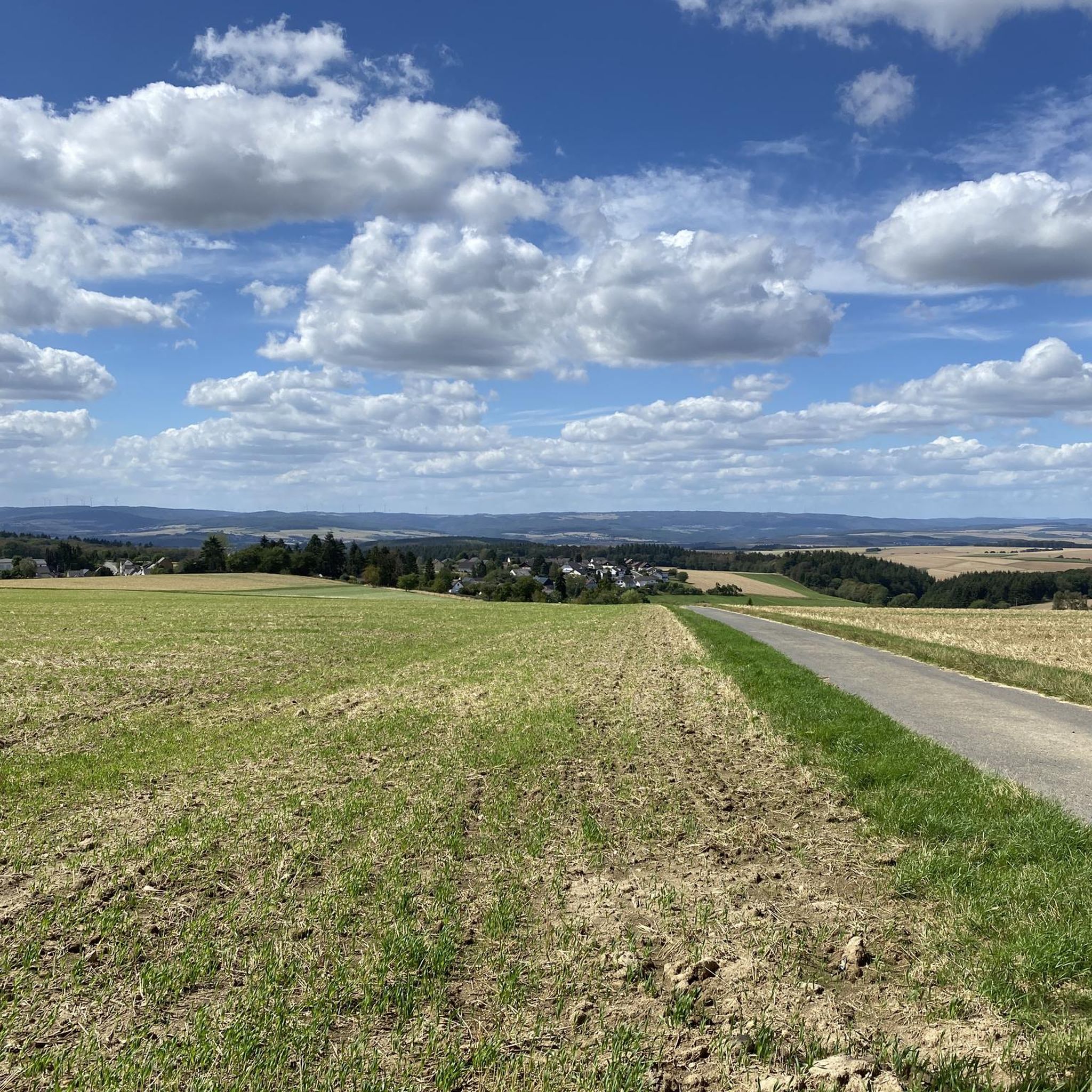
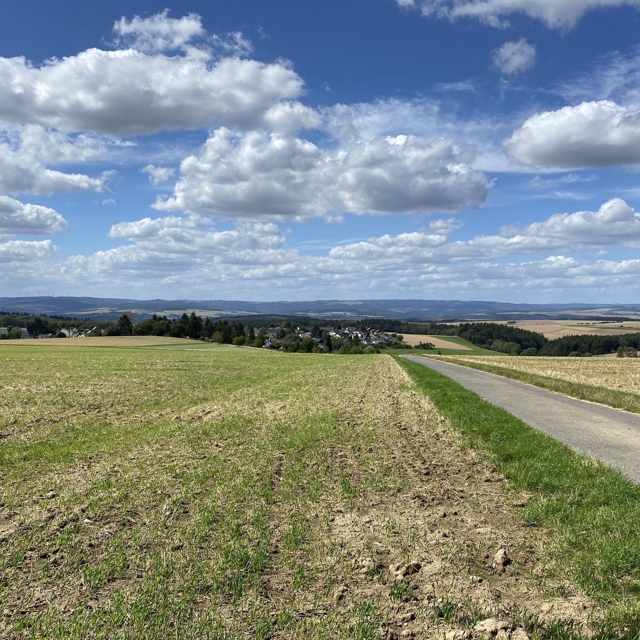
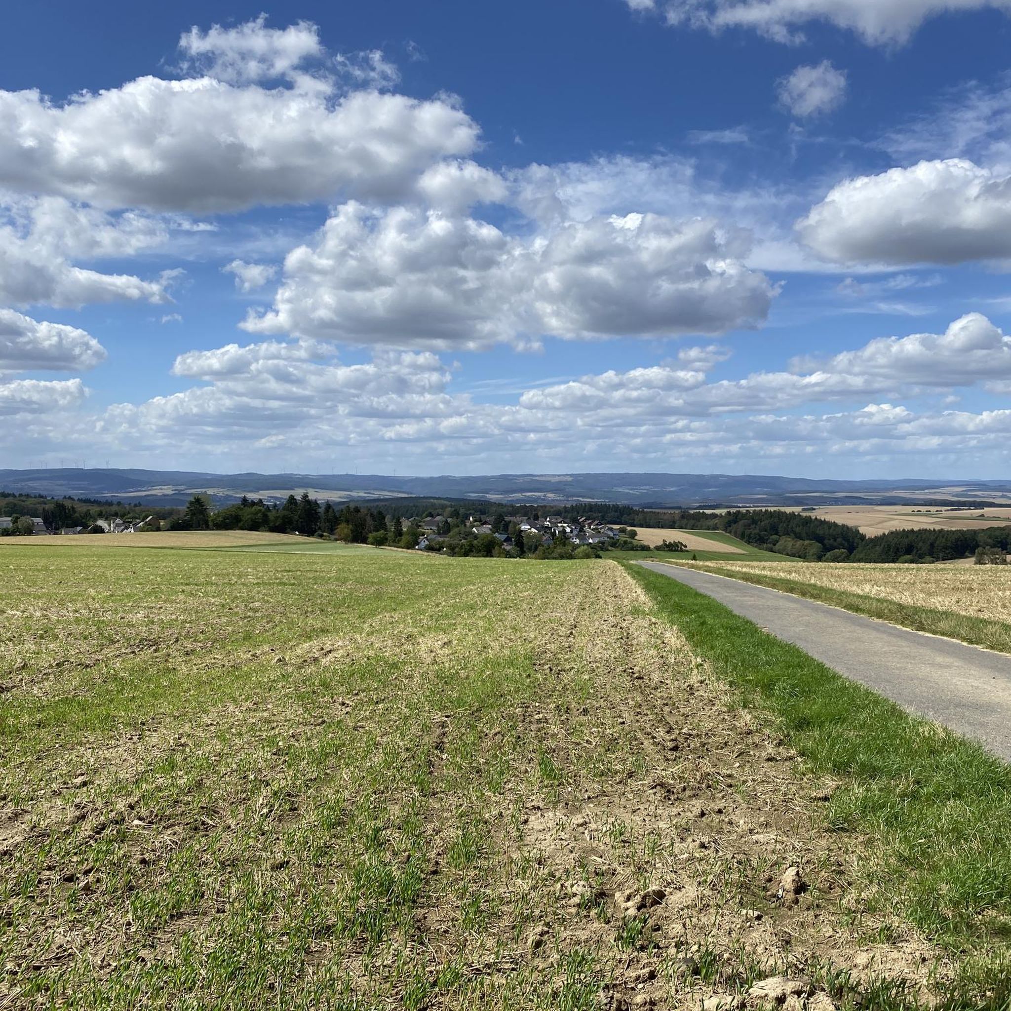
nice seating area between fields
0
0
Tomb and bench a little in the path coming from the forest
0
0

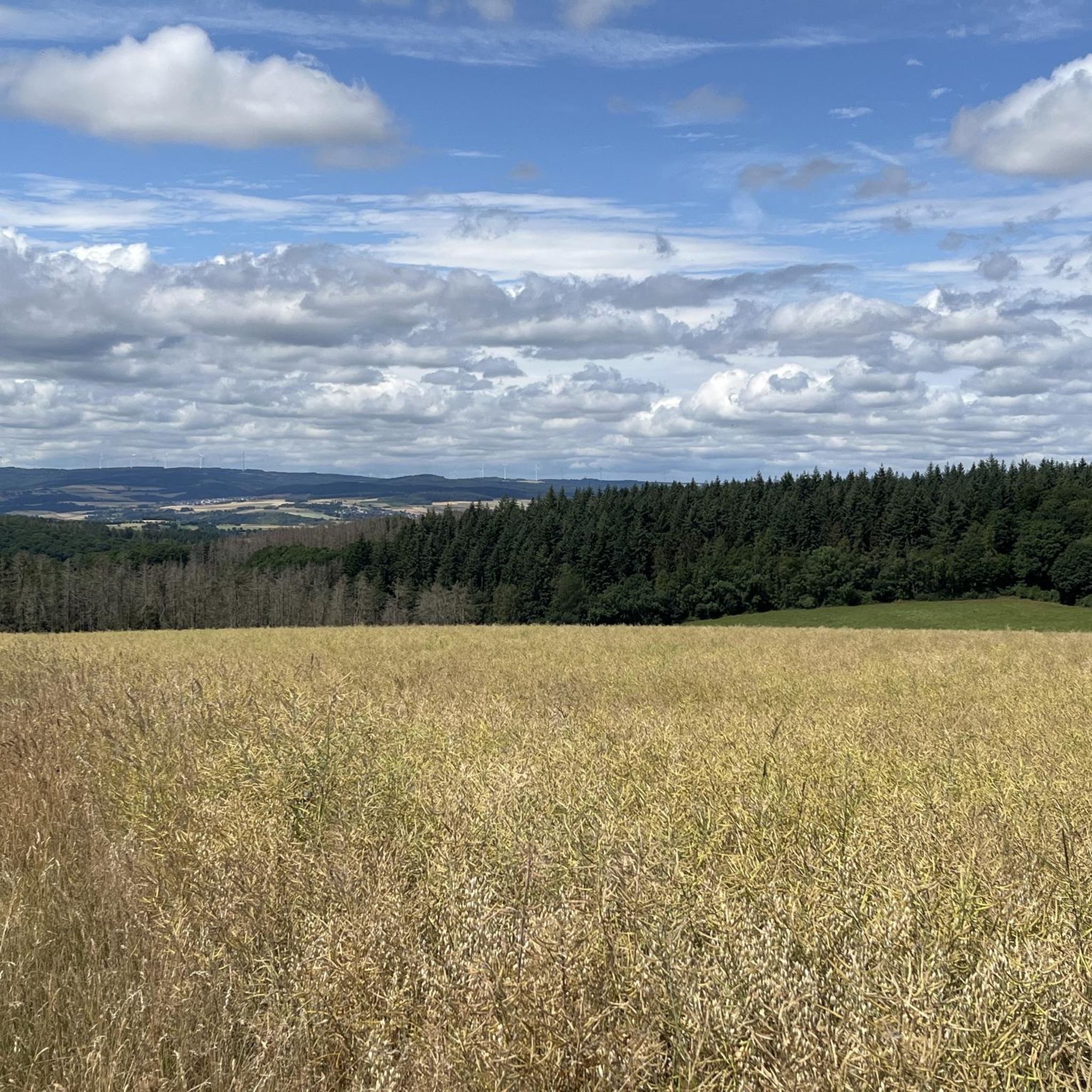
There is an old oak tree here. There used to be a bench under the oak. There are only the stones on which the bench rested. There is also no longer an unobstructed view - it has now grown over. But the oak is a pretty impressive tree. The path to the oak was also overgrown and has been cut free today.
3
0
As early as the 19th century, roofing slate was mined on a large scale in Weisel. Shaft construction was carried out at the Kreuzberg mine. The Kreuzberg mine was the last slate mine on the Middle Rhine. It was closed at the end of November 1980. The headframe was dismantled and the shaft facility was sealed. Today, the mine serves as a drinking water reservoir for the neighboring communities of Wollmerschied and Ransel. On the grounds of the Kreuzberg mine, a residential building and various utility buildings still exist. https://www.weiseler-geschichte.de/bilder-karten-videos/sehenswuerdigkeiten/eckert-und-kreuzberg In November 2017, the novel "Menschenfischer" by Jan Seghers was published by Rowohlt Verlag. One of the main settings in this novel is "a dark valley on the Rhine" and the Kreuzberg mine. If you have read the book and walk here, you will recognize some of the places described in the novel.
3
0
Frequently Asked Questions
How many hiking trails are available around Rettershain?
There are over 800 hiking routes available around Rettershain, offering a wide variety of options for all skill levels. These trails are highly rated by the komoot community, with an average score of 4.7 stars from more than 15,000 reviews.
What kind of terrain can I expect on hikes near Rettershain?
Hikes around Rettershain feature diverse terrain, ranging from easily accessible, relatively flat paths through local woodlands and fields to more challenging trails with significant elevation gains. You'll encounter riverine landscapes, forested hills, and striking rock formations, characteristic of the Middle Rhine Valley.
Are there easy hiking options suitable for beginners or casual walkers?
Yes, Rettershain offers numerous easy hiking options. For example, the Kreuzberg Mine loop from Rettershain is an easy 3.2-mile (5.2 km) route that takes about 1 hour 25 minutes. Another gentle option is the Hiking loop from Rettershain, a 2.5-mile (4.0 km) trail through local woodlands.
Are there any challenging hikes for experienced trekkers?
While many trails are easy to moderate, the region around Rettershain, particularly within the Middle Rhine Valley, does offer more challenging paths. Some routes can involve elevation gains of up to 3,000 feet, requiring good fitness and sure-footedness. You can find 52 difficult routes in the area, providing a good challenge for experienced hikers.
What natural landmarks or viewpoints can I see on trails near Rettershain?
The region is rich in natural beauty. You can find stunning viewpoints such as the View of the Loreley Rock and the Felsenkanzel Viewpoint Overlooking the Rhine and the Loreley. The iconic Loreley Rock itself is a 132-meter-high cliff and a focal point of the Middle Rhine Valley.
Are there historical sites or castles to explore while hiking?
Absolutely. The Middle Rhine Valley is dotted with historic castles and castle ruins. You can explore sites like Pfalzgrafenstein Castle, Rheinfels Castle, and even get a View of Katz Castle from certain trails, adding a rich cultural dimension to your hike.
Are the hiking trails around Rettershain suitable for families with children?
Yes, many trails around Rettershain are suitable for families. The abundance of easy and moderate routes, often through woodlands and fields, provides accessible options for all ages. Look for shorter, less strenuous loops for a pleasant family outing.
Can I bring my dog on the hiking trails in Rettershain?
Generally, dogs are welcome on hiking trails in the Rettershain area. It's always advisable to keep your dog on a leash, especially in nature reserves, near livestock, or in crowded areas, and to follow local regulations regarding pet waste.
Are there good options for circular hikes in the area?
Yes, circular hikes are a popular way to explore the region. Routes like the Kreuzberg Mine loop from Rettershain and the Old Oak Tree loop from Rettershain are excellent examples of well-regarded circular trails that allow you to start and end at the same point.
Is parking available for hikers in Rettershain?
Parking is generally available in and around Rettershain, often near trailheads or in village centers. Specific parking information for individual routes can usually be found on the detailed tour pages on komoot.
What is the best time of year to go hiking in Rettershain?
The Middle Rhine Valley, including the area around Rettershain, is beautiful year-round. Spring offers blooming wildflowers, summer provides lush greenery, and autumn brings vibrant foliage. Even winter hiking can be picturesque, though some paths might be slippery. The best time depends on your preference for weather and scenery.
What do other hikers enjoy most about hiking in Rettershain?
The area is highly rated by the komoot community, with an average score of 4.7 stars. Reviewers often praise the diverse natural scenery, the well-maintained paths, and the stunning panoramic views of the Rhine Valley and its historic castles. The combination of natural beauty and cultural landmarks is a frequent highlight.
Most popular attractions around Rettershain

Get inspired with the komoot mobile app


Explore more
Browse the best Hikes in other regions.
