Top 6 Natural Monuments around Merthyr Cynog
Best natural monuments around Merthyr Cynog encompass prominent natural features within a rich landscape. This community in historic Wales is characterized by lower hills, interfluvial ridges, and proximity to the Bannau Brycheiniog National Park. The area's geology, including Carboniferous Limestone and Old Red Sandstone, has shaped its distinctive terrain of steeply sloping valley sides, high ridges, and open moorland. These natural features offer scenic beauty and opportunities for outdoor activities.
Best natural monuments around Merthyr Cynog
- The most popular natural…
Last updated: July 1, 2026
Moelfre Trig Point
Highlight • Natural Monument
You can hike Moelfre along with Garth Hill in one long hike. See my route details here: komoot.com/tour/264906708
Tip by

Cefn Llechid Trig Point
Highlight • Viewpoint
Tip by
Sign up now to discover places like this
Get recommendations on the best single tracks, peaks, & plenty of other exciting outdoor places.
Sign up for free
Mynydd Fforest Trig Point
Highlight • Viewpoint
Tip by

Aberedw Hill Summit
Highlight • Viewpoint
Tip by
Fforest Fach Trig Point (381 m)
Highlight • Viewpoint
Tip by
Sign up for free to discover even more natural monuments around Merthyr Cynog.
Sign up for free
Already have an account?
Start today with a free account
Your next adventure awaits.
Login or Signup
Tips from the Community

At 441m, Moelfre ("The Bold / Barren Hill") is a Welsh listed Bridget. The trig point is located about 100m East, and a whole 1m lower than the actual summit. It's heather moorland (likely boggy!) terrain. Extensive views on offer in most directions, including views across the Duhonw valley to the South-East.
2
0

Fforest Fach is a small area of unenclosed land within Brecon Beacons National Park southwest of Sennybridge in the county of Powys, Wales. Translating from Welsh as 'little forest', it is named in opposition to the much larger area of unenclosed land to the south which is known as Fforest Fawr or the 'great forest'. Whilst Fforest Fawr and Fforest Fach have been distinct areas for many centuries, the odd situation now arises where Fforest Fach now finds itself within Fforest Fawr Geopark, the boundaries of which are drawn rather more widely than those of the traditional royal hunting forest. The hill possesses two indistinct summits, the higher of which at 382m is in the south whilst that to the north at 381m is crowned by a trig point. There was formerly a rifle range at the north-western corner of the hill.
4
0
Cefn Llechid is a small area of unenclosed land in the Brecon Beacons National Park east of Sennybridge in the county of Powys, Wales. It lies within Fforest Fawr Geopark. Its plateau-like summit surface peaks at 400m where it is marked by a trig point. A couple of small bodies of water lie in a hollow on the plateau. For a hiking route to Cefn Llechid click here: https://www.komoot.com/tour/282712564
4
1
Aberedw Hill is a summit in the Mid Wales region or range in Wales, United Kingdom of Great Britain. Aberedw Hill is 451 metres high. It is listed as a UK Marilyn.
4
0
A lovely decent sized hump with a trig point on the outskirts of Builth Wells. Nice viewing point. Height 441m. You can hike Moelfre along with Garth Hill in one long hike. See my route details here: https://www.komoot.com/tour/264906708
3
0

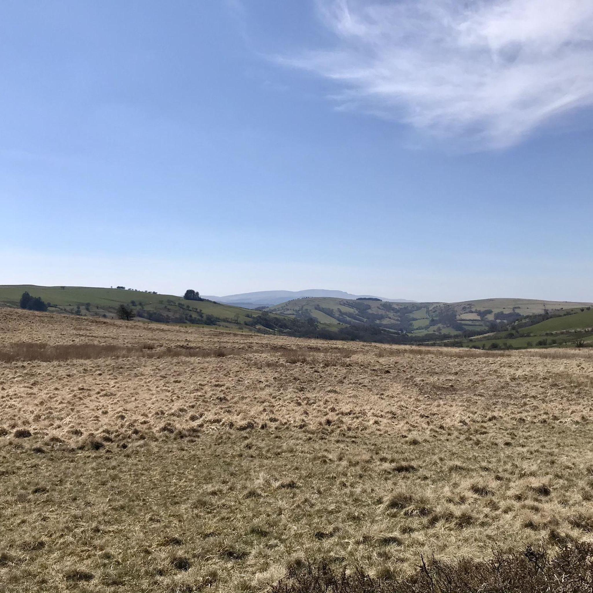
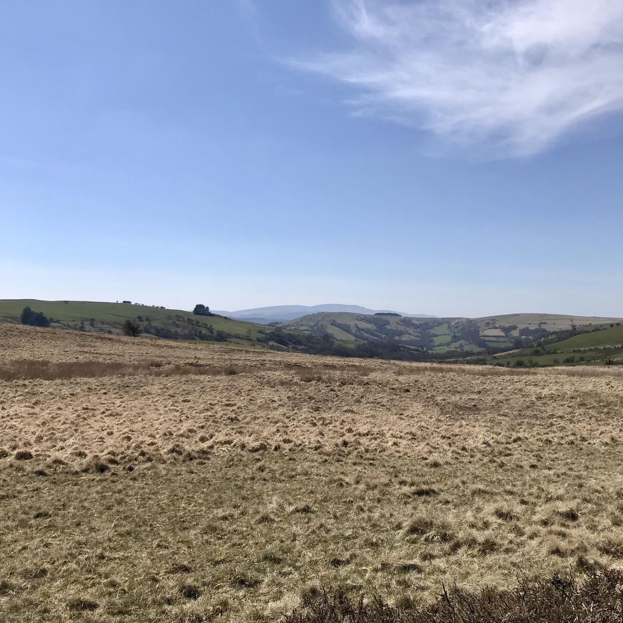
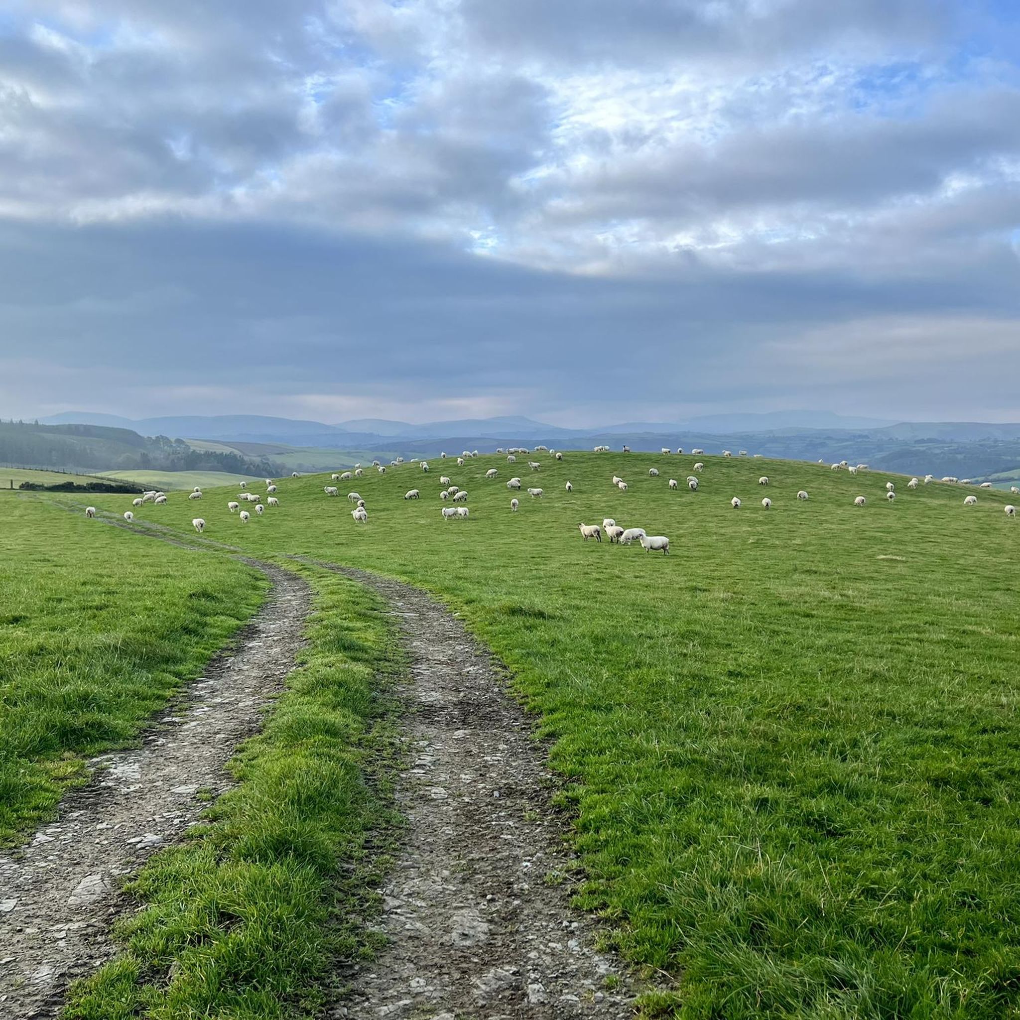
Don't be fooled, it's not a forest, but instead a beautiful, sweeping, open mountain top moorland. Pack a windproof.
1
1
Frequently Asked Questions
What are some of the most notable natural features around Merthyr Cynog?
The region around Merthyr Cynog is rich in natural beauty. Beyond the popular trig points, you can explore the historic Mynydd Fforest Trig Point, which offers sweeping moorland views, or the panoramic vistas from Aberedw Hill Summit, a UK Marilyn. Another significant feature is the Moelfre Trig Point, providing extensive views over heather moorland and the Duhonw valley.
Are there natural monuments suitable for families near Merthyr Cynog?
Yes, Twyn y Gaer Summit is an excellent choice for families. It's a popular beauty and picnic spot offering fine panoramic views, and the area provides beautiful, family-friendly walks. Parking is also easily accessible on common land nearby.
What kind of terrain can I expect when visiting these natural monuments?
The terrain around Merthyr Cynog's natural monuments often features steeply sloping valley sides, high ridges, and open moorland. For example, Moelfre Trig Point is situated on heather moorland, which can be boggy in places. Summits like Mynydd Fforest Trig Point are characterized by open mountain top moorland.
What outdoor activities can I do near the natural monuments?
The area offers a variety of outdoor activities. You can enjoy walking, biking, or kayaking along the tranquil Monmouthshire and Brecon Canal, known for its consistently impressive scenery. For hiking, there are routes like the 'View of Pen y Crug – Pen y Crug Hillfort Summit loop' from Brecon, which is an easy option. You can find more hiking routes in the Hiking around Merthyr Cynog guide.
Are there any historical sites combined with natural beauty?
Absolutely. Twyn y Gaer Summit not only offers stunning panoramic views but is also home to an Iron Age hillfort, blending natural beauty with significant historical context.
What is the best time to visit the natural monuments around Merthyr Cynog?
The region's natural monuments can be enjoyed throughout the year, but the best time often depends on your preferred activity. The Monmouthshire and Brecon Canal is a great option even when weather might be less favorable in higher elevations. For open moorland summits like Mynydd Fforest Trig Point, packing a windproof layer is advisable regardless of the season.
How accessible are the natural monuments by public transport?
While specific public transport routes directly to all natural monuments may vary, the region is generally rural. Many visitors choose to drive, with parking often available near popular spots like Twyn y Gaer Summit. For detailed local transport information, it's best to check local services or consider options to nearby towns like Brecon, which serves as a hub for various routes.
What makes the Monmouthshire and Brecon Canal a natural monument?
The Monmouthshire and Brecon Canal, often described as a 'hidden gem' of Wales, is considered a natural monument due to its tranquil 35-mile stretch through beautiful scenery on the northern fringes of the Brecon Beacons. While originally industrial, its present rural character and the natural beauty it traverses make it a significant natural feature for recreation and appreciation of the landscape.
Are there any other notable viewpoints or summits in the area?
Beyond those already mentioned, the area features other significant viewpoints and summits. Cefn Llechid Trig Point, located within the Fforest Fawr Geopark, offers a plateau-like summit at 400m. Another is Fforest Fach Trig Point (381 m), also within the Brecon Beacons National Park, providing views from its 381m summit.
What geological features can be observed in the Merthyr Cynog area?
The distinctive terrain around Merthyr Cynog is shaped by its geology, which includes Carboniferous Limestone, Millstone Grit, and Old Red Sandstone. These formations contribute to the steeply sloping valley sides, high ridges, and open moorland that characterize the region, and can be observed in various geological exposures throughout the area.
What do visitors appreciate most about the natural monuments here?
Visitors to Merthyr Cynog's natural monuments highly value the expansive and panoramic views offered from summits like Mynydd Fforest Trig Point and Aberedw Hill Summit. The opportunity for peaceful walks, the blend of natural beauty with historical elements like the Iron Age hillfort at Twyn y Gaer, and the accessibility of scenic routes like the Monmouthshire and Brecon Canal are also frequently praised.
Most popular attractions around Merthyr Cynog

Get inspired with the komoot mobile app


Explore more
Extend your search for the best caves by checking out these guides of the top ones around Merthyr Cynog:
