Saint-Colomban-Des-Villards
Saint-Colomban-Des-Villards
Top 7 Natural Monuments around Saint-Colomban-Des-Villards
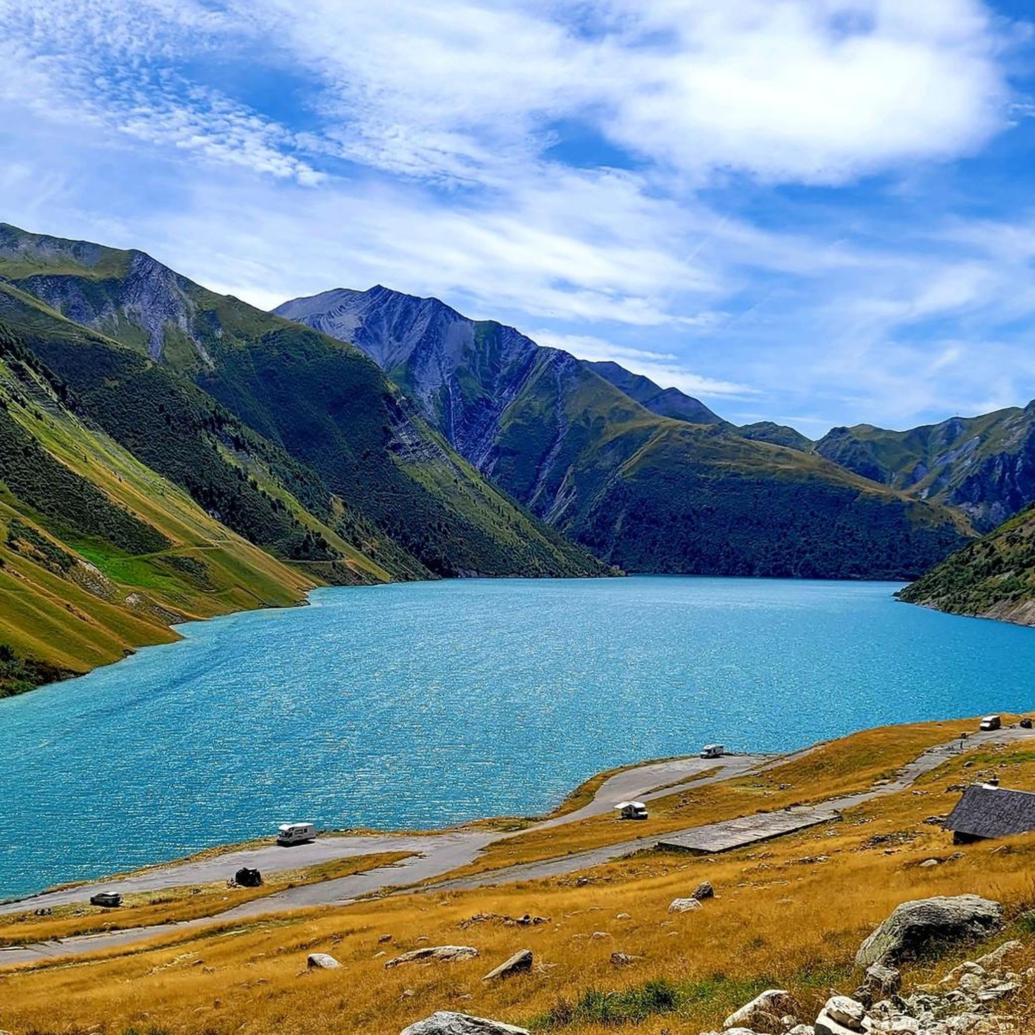
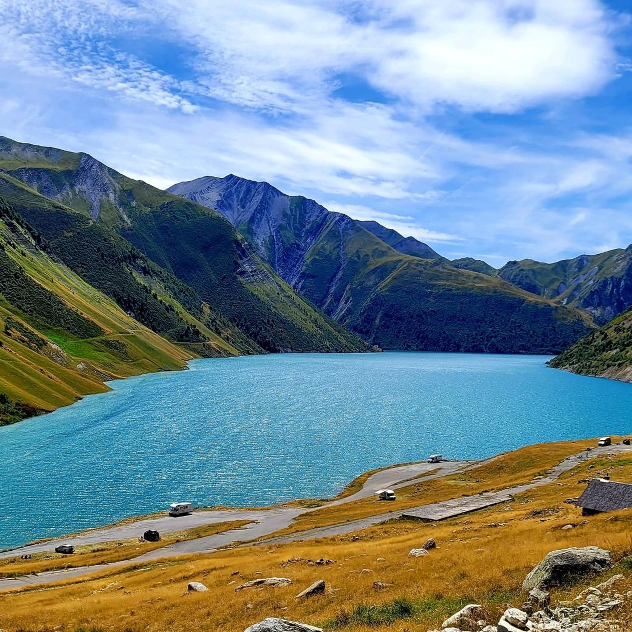
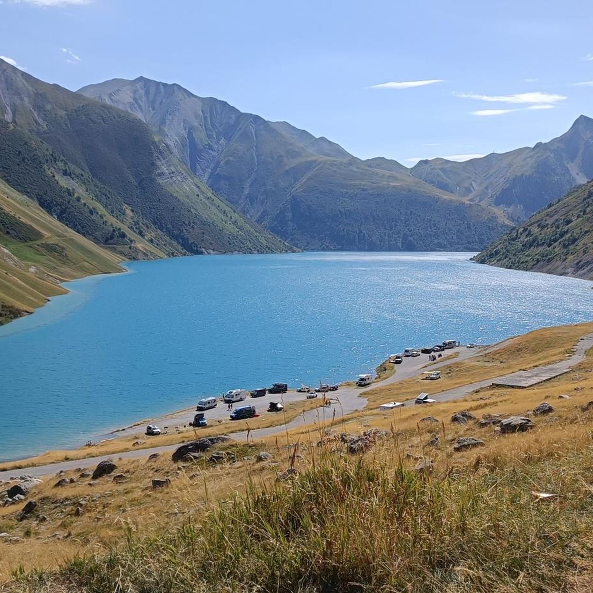
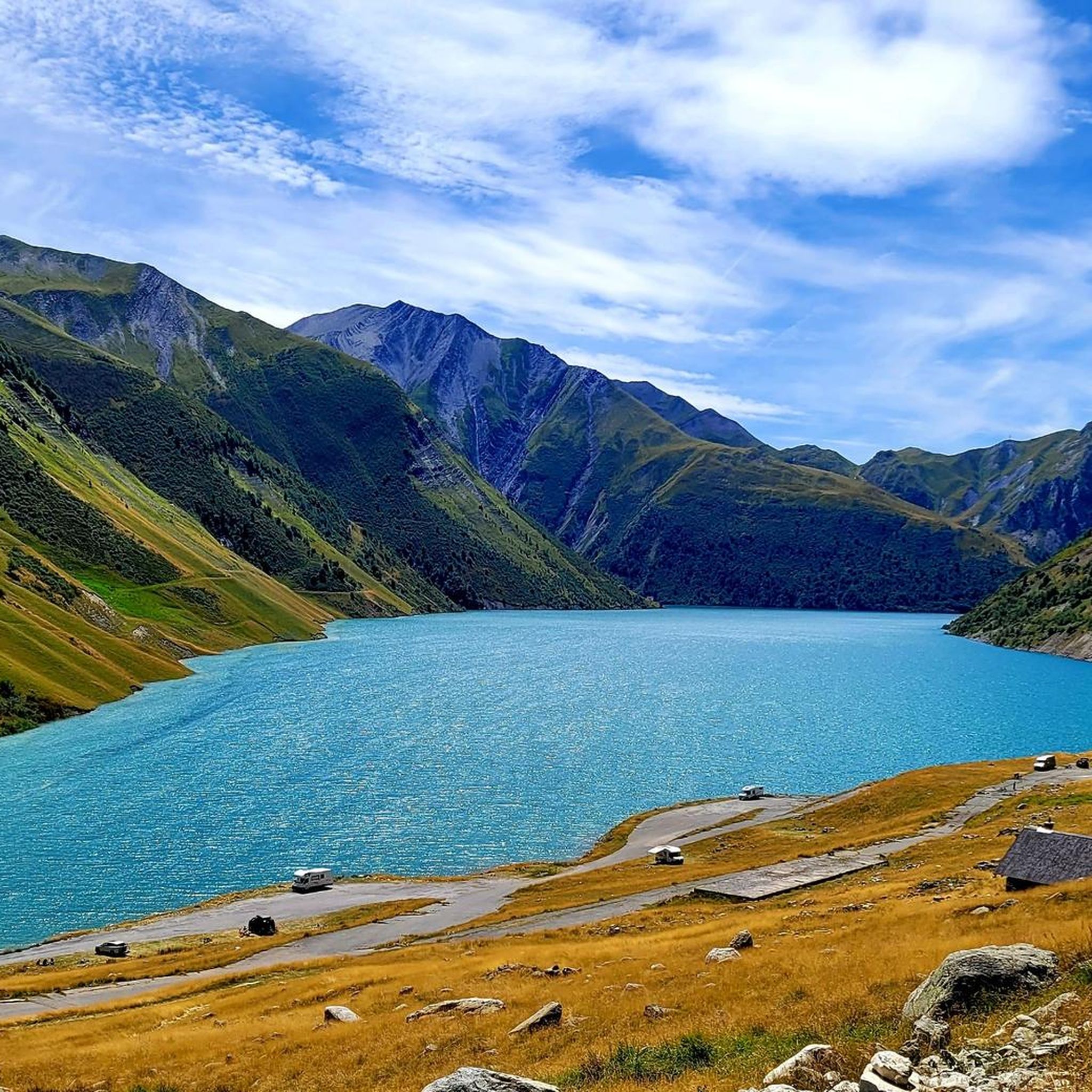
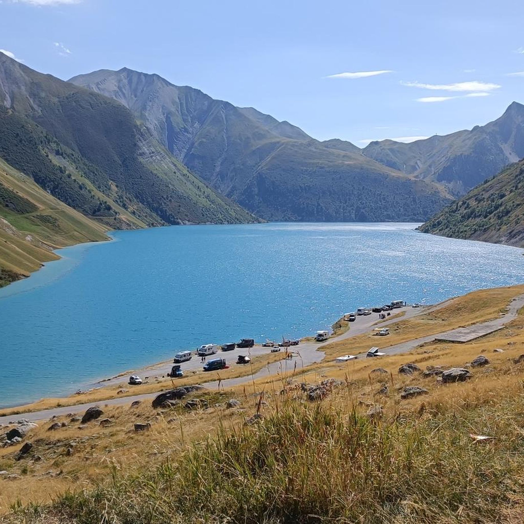
Best natural monuments around Saint-Colomban-Des-Villards are located in the Savoie department of the Auvergne Rhône-Alpes region. This area features a diverse alpine environment with high peaks, valleys, and lakes. The landscape offers numerous trails through forests, meadows, and rocky scree. It provides a mountain experience with a variety of natural sites to explore.
Best natural monuments around Saint-Colomban-Des-Villards
- The most popular natural monuments is Col de la Croix de Fer, a mountain pass that has often been part of…
Last updated: July 2, 2026
Col de la Croix de Fer
Highlight • Mountain Pass
Translated by Google •
Tip by

Lac de la Faucille
Highlight • Lake
Translated by Google •
Tip by

Sign up now to discover places like this
Get recommendations on the best single tracks, peaks, & plenty of other exciting outdoor places.
Sign up for free
Pissou Waterfall
Highlight • Waterfall
Translated by Google •
Tip by

Glacier de l'Étendard
Highlight • Natural Monument
Translated by Google •
Tip by

Pierre du Pin
Highlight • Viewpoint
Translated by Google •
Tip by
Sign up for free to discover even more natural monuments around Saint-Colomban-Des-Villards.
Sign up for free
Already have an account?
Start today with a free account
Your next adventure awaits.
Login or Signup
Popular around Saint-Colomban-Des-Villards

Écrins, Belledonne and Vercors – HexaTrek, Hautes-Alpes
Road Cycling Routes around Saint-Colomban-Des-Villards
Hiking around Saint-Colomban-Des-Villards
Running Trails around Saint-Colomban-Des-Villards
Cycling around Saint-Colomban-Des-Villards

Mountain Hikes around Saint-Colomban-Des-Villards
MTB Trails around Saint-Colomban-Des-Villards

Gravel biking around Saint-Colomban-Des-Villards
Other adventures around Saint-Colomban-Des-Villards

Tips from the Community


A busy hiking trail in summer. All those lakes and vistas are beautiful.
0
0
Access is via a very accessible path, 900 m from the last parking lot. You can also park in the parking lot just to the left of the departmental road, which is 1400 m from the path.
0
0

Not to be done in early May, when the snow is still present. The path is impassable.
0
0

a beautiful, easily accessible and refreshing waterfall.
1
0

The Col de la Croix de Fer culminates at an altitude of 2063 meters. It is the big neighbor of the Col du Glandon, another crossing point between the Maurienne and Oisans valleys. The Tour de France has used this pass 21 times. It is one of the most beautiful in France, a must-visit point for any mountain-loving cyclist!
1
0

There are three different ways to climb to the top of the Col de la Croix de Fer. The most famous is the climb from the Verney dam in the Oisans valley, because it is the slope used in the Marmotte (except the last kilometers). It is 27.5 kilometers long with an elevation gain of 1292 meters. The average slope is 4.7% with maximum slopes of 11.1%. The Col de la Croix de Fer from Saint-Jean-de-Maurienne is 28.2 kilometers with an elevation gain of 1475 meters. The average gradient is 5.23% with maximum gradients of 9.6% The final ascent is via the Col du Glandon. After the summit of Glandon it remains approximately 2 kilometers to the summit.
6
1

The Etandard glacier, also called Saint Sorlin d'Arves, covers 270 hectares and a thickness that varies between 30 and 70 meters. It is easily accessible from the famous Iron Cross Pass.
0
0
Frequently Asked Questions
What are some of the most popular natural monuments to visit around Saint-Colomban-Des-Villards?
Visitors frequently enjoy the challenging routes and panoramic views from Col de la Croix de Fer, a mountain pass often featured in the Tour de France. Another favorite is Lac de la Faucille, perfect for a break and a picnic by the water. The Pissou Waterfall, with its refreshing cascade in a green setting, is also highly regarded.
Are there any family-friendly natural monuments in the area?
Yes, Lac de la Faucille is considered family-friendly, offering a pleasant spot for a break and admiring the waterside landscape. The Pissou Waterfall is also noted for being easily accessible and suitable for a small family hike.
What kind of outdoor activities can I do near these natural monuments?
The region is excellent for various outdoor activities. You can find numerous MTB trails, cycling routes, and road cycling routes, especially around the mountain passes like Col de la Croix de Fer and Col du Glandon. The Vallée des Villards also offers extensive hiking trails through diverse alpine landscapes.
What are some of the most scenic viewpoints among the natural monuments?
The Col de la Croix de Fer offers magnificent views, including the iconic Aiguilles d'Arves and the Etendard peak. The Cîme du Sambuis also provides breathtaking panoramic views for those who reach its summit. Mountain lakes like Lac de la Faucille and Lac Blanc d'Alpe d'Huez offer serene settings with stunning reflections of the surrounding peaks.
Are there any unique natural monuments with historical or cultural significance?
Yes, in the Chef-lieu, you can find The Linden Tree (Le Tilleul), which is recognized and listed under the 'remarkable trees in France' category. This tree holds both cultural and natural significance, making it a unique natural monument to visit for its historical and botanical value.
What is the best time of year to visit the natural monuments around Saint-Colomban-Des-Villards?
The best time to visit largely depends on your desired activities. For hiking and cycling, late spring to early autumn (June to September) offers the most favorable weather conditions, with accessible trails and passes. During winter, some areas transform into snowy landscapes, offering opportunities for snowshoeing or admiring frozen waterfalls like the Pissou Waterfall.
What kind of natural features can I expect to see in the region?
The region boasts a diverse alpine environment. You'll encounter high peaks like Cîme du Sambuis, verdant valleys such as the Vallée des Villards, and serene mountain lakes including Lac de la Faucille, Lac Besson, and Lac Carrelet. There are also impressive mountain passes like Col de la Croix de Fer and Col du Glandon, and the striking Pissou Waterfall.
What are some challenging natural monuments for experienced hikers or cyclists?
For experienced adventurers, the ascent to Cîme du Sambuis offers a true high-mountain experience with breathtaking panoramic views. The Col de la Croix de Fer and Col du Glandon are renowned for their challenging routes, attracting cyclists and hikers seeking strenuous climbs and descents. The Chaîne de Belledonne also provides dramatic landscapes and extensive mountaineering opportunities.
Can I see glaciers near Saint-Colomban-Des-Villards?
Yes, the Glacier de l'Étendard is a significant natural monument in the area. It covers a large expanse and is relatively accessible, particularly from the famous Col de la Croix de Fer, offering a chance to witness this impressive natural formation.
What do visitors enjoy most about the natural monuments in Saint-Colomban-Des-Villards?
Visitors appreciate the authentic Savoyard charm and the diverse alpine environment. They particularly enjoy the tranquility of the mountain lakes, the challenge and rewarding views from the mountain passes, and the refreshing beauty of the waterfalls. The extensive network of trails through forests, meadows, and rocky scree also provides a deep immersion in raw nature away from crowds.
Are there any other notable mountain ranges or peaks nearby?
Beyond the immediate vicinity, the Chaîne de Belledonne is a remarkable mountain range offering dramatic landscapes and rugged peaks. Although about 21km away, the Aiguilles d'Arves are iconic needle-like peaks known for their striking geological formations and impressive scale, providing spectacular views from a distance.
Where can I find more information about Saint-Colomban-Des-Villards and its natural attractions?
For additional information about Saint-Colomban-Des-Villards and its natural attractions, you can visit the local tourism website: tourisme-la-chambre.com.
Most popular routes around Saint-Colomban-Des-Villards
Most popular attractions around Saint-Colomban-Des-Villards

Get inspired with the komoot mobile app


Explore more
Extend your search for the best caves by checking out these guides of the top ones around Saint-Colomban-Des-Villards:
